Trip planning, history, announcements, books, movies, opinions, etc.
Elwood
Posts: 617 Joined: Fri Aug 15, 2008 5:23 pm
Post
by Elwood Thu Jan 21, 2010 2:36 pm
We have a winner!
edenooch
Posts: 504 Joined: Fri Jul 03, 2009 7:42 pm
Post
by edenooch Thu Jan 21, 2010 3:51 pm
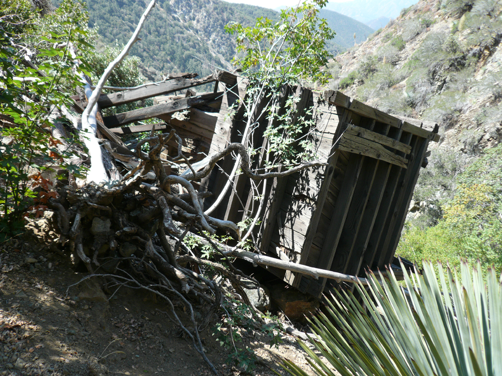
Elwood wrote:Do we need a ruling from the grand poo-bah, or is this answer close enough for a post?
i seen that dilapidated shack before. u hike some wher eoff the forest big tujunga?
Elwood
Posts: 617 Joined: Fri Aug 15, 2008 5:23 pm
Post
by Elwood Thu Jan 21, 2010 5:37 pm
Hey Edenooch:
platypii
Posts: 55 Joined: Mon Jan 26, 2009 4:58 am
Post
by platypii Thu Jan 21, 2010 5:57 pm
Elwood wrote:
The marsupials that posted ahead of you had the correct answer. Sorry!
Edit: The first picture I choose was boring, and no one responded yet so I put up a cooler pic 8)
AW~
Posts: 2077 Joined: Mon Oct 01, 2007 12:00 pm
Post
by AW~ Thu Jan 21, 2010 6:33 pm
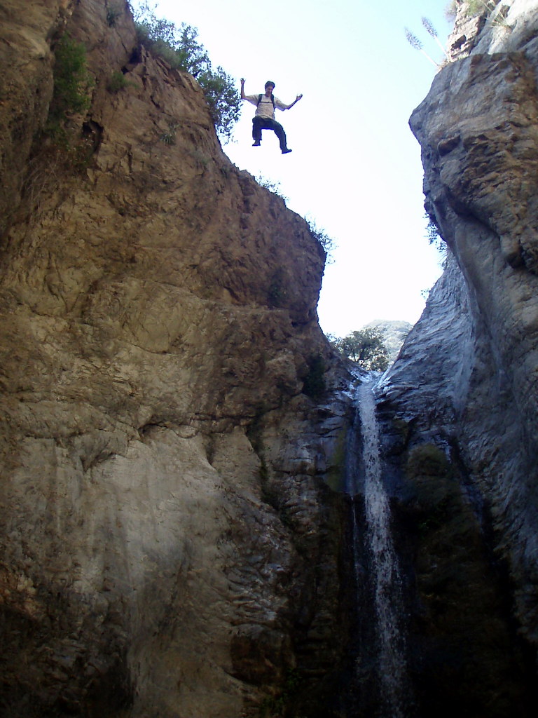
Eaton....Slide Falls(also known as the falls above Eaton Canyon Falls).
AW~
Posts: 2077 Joined: Mon Oct 01, 2007 12:00 pm
Post
by AW~ Thu Jan 21, 2010 6:51 pm
ok....named peak...another toughie, looking east
looking west..hmm...
HikeUp
Posts: 3991 Joined: Thu Sep 27, 2007 9:21 pm
Post
by HikeUp Thu Jan 21, 2010 7:07 pm
platypii wrote:Edit: The first picture I choose was boring, and no one responded yet so I put up a cooler pic 8)
Aargh! I thought the first pic was great...what was it?
platypii
Posts: 55 Joined: Mon Jan 26, 2009 4:58 am
Post
by platypii Thu Jan 21, 2010 7:39 pm
HikeUp wrote:platypii wrote:Edit: The first picture I choose was boring, and no one responded yet so I put up a cooler pic 8)
Aargh! I thought the first pic was great...what was it?
haha, thanks! Well then, back by popular demand:
Good job AW, though I guess eaton was too easy. This one is also en-route to a canyon, but somewhat more obscure...
Elwood
Posts: 617 Joined: Fri Aug 15, 2008 5:23 pm
Post
by Elwood Thu Jan 21, 2010 8:38 pm
That's not Vetter from Alder Creek by any chance?
platypii
Posts: 55 Joined: Mon Jan 26, 2009 4:58 am
Post
by platypii Thu Jan 21, 2010 8:57 pm
Elwood wrote:That's not Vetter from Alder Creek by any chance?
Nope, cold. (unless you were talking to AW... I have no idea where his pics are!)
AW~
Posts: 2077 Joined: Mon Oct 01, 2007 12:00 pm
Post
by AW~ Thu Jan 21, 2010 8:59 pm
Big Tujunga: Condor peak ..I suspect the view is from an approach to Mary Jane canyon.
AW~
Posts: 2077 Joined: Mon Oct 01, 2007 12:00 pm
Post
by AW~ Thu Jan 21, 2010 9:06 pm
platypii wrote:Elwood wrote:That's not Vetter from Alder Creek by any chance?
Nope, cold. (unless you were talking to AW... I have no idea where his pics are!)
Not mines. ...heres another clue on mine...this is the named peak as viewed from the east.
platypii
Posts: 55 Joined: Mon Jan 26, 2009 4:58 am
Post
by platypii Thu Jan 21, 2010 9:13 pm
AW wrote:Big Tujunga: Condor peak ..I suspect the view is from an approach to Mary Jane canyon.
Pretty damn close! Good job living up to your title, canyon man! It is indeed Condor Peak, but it was taken while on the "Maxon Route" to Suicide Canyon. (thanks matt... you're famous!)
Its funny that you mention Mary Jane though, considering the picture was actually taken from the abandoned weed farm on the approach to Suicide!
Ze Hiker
Posts: 1432 Joined: Mon Jul 28, 2008 7:14 pm
Post
by Ze Hiker Thu Jan 21, 2010 9:21 pm
AW your 2 views looking east look totally different!
Taco
Snownado survivor
Posts: 6059 Joined: Thu Sep 27, 2007 4:35 pm
Post
by Taco Thu Jan 21, 2010 10:06 pm
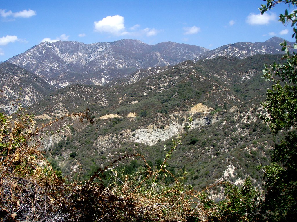
Smith Mountain's lower East face.
AW~
Posts: 2077 Joined: Mon Oct 01, 2007 12:00 pm
Post
by AW~ Fri Jan 22, 2010 8:59 am
TacoDelRio wrote:Smith Mountain's lower East face.
Yes.
Ze, inital post I meant to say looking east from the spot that the picture was taken of the west side of the mountain....in that case the view east is the intial ridgeline being developed to go towards the west ridge of Twin Peaks.
platypii
Posts: 55 Joined: Mon Jan 26, 2009 4:58 am
Post
by platypii Tue Jan 26, 2010 6:38 am
This thread died, and it makes me sad...
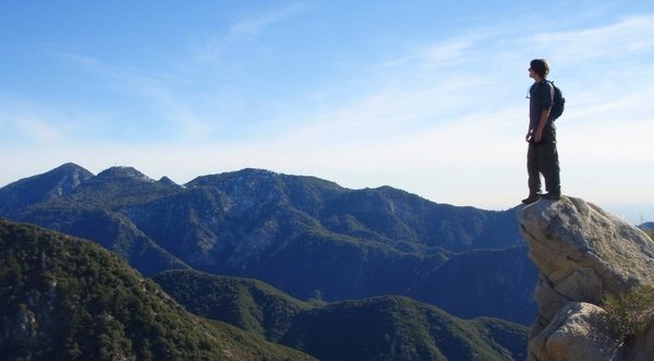
Where was my user image taken?
Ze Hiker
Posts: 1432 Joined: Mon Jul 28, 2008 7:14 pm
Post
by Ze Hiker Wed Jan 27, 2010 6:43 am
in the san gabriels right?
platypii
Posts: 55 Joined: Mon Jan 26, 2009 4:58 am
Post
by platypii Wed Jan 27, 2010 7:37 am
Yep definitely in the san gabriels.
Socalhiker69
Posts: 21 Joined: Wed Nov 19, 2008 12:21 pm
Post
by Socalhiker69 Wed Jan 27, 2010 9:13 am
Around Josephine Peak. San Gabriel Peak and Mt. Disappointment (with the antennas) to the left.
platypii
Posts: 55 Joined: Mon Jan 26, 2009 4:58 am
Post
by platypii Wed Jan 27, 2010 9:41 am
Socalhiker69 wrote:Around Josephine Peak. San Gabriel Peak and Mt. Disappointment (with the antennas) to the left.
Yep. En route to Strawberry Peak.
Your turn...
AW~
Posts: 2077 Joined: Mon Oct 01, 2007 12:00 pm
Post
by AW~ Wed Jan 27, 2010 10:27 am
Condor peak ?
HikeUp
Posts: 3991 Joined: Thu Sep 27, 2007 9:21 pm
Post
by HikeUp Wed Jan 27, 2010 10:46 am
Hoyt?
HikeUp
Posts: 3991 Joined: Thu Sep 27, 2007 9:21 pm
Post
by HikeUp Wed Jan 27, 2010 11:09 am
Which two peaks are these?
Ze Hiker
Posts: 1432 Joined: Mon Jul 28, 2008 7:14 pm
Post
by Ze Hiker Wed Jan 27, 2010 11:15 am
HikeUp wrote:Which two peaks are these?
Strawberry and Lawlor?
HikeUp
Posts: 3991 Joined: Thu Sep 27, 2007 9:21 pm
Post
by HikeUp Wed Jan 27, 2010 11:24 am
Zé wrote:Strawberry and Lawlor?
Yup!


