Trip planning, history, announcements, books, movies, opinions, etc.
AW~
Posts: 2077 Joined: Mon Oct 01, 2007 12:00 pm
Post
by AW~ Tue Jan 12, 2010 9:49 am
TacoDelRio wrote:AW, I have no idea where that is.
Its taken from Hwy39(past the gate). Its the peak north of Smith Mtn...I think its like 5500 ft elevation.
Taco
Snownado survivor
Posts: 6059 Joined: Thu Sep 27, 2007 4:35 pm
Post
by Taco Tue Jan 12, 2010 11:18 am
AW~
Posts: 2077 Joined: Mon Oct 01, 2007 12:00 pm
Post
by AW~ Tue Jan 12, 2010 12:57 pm
edenooch
Posts: 504 Joined: Fri Jul 03, 2009 7:42 pm
Post
by edenooch Tue Jan 12, 2010 5:24 pm
some where near jacinto
Ze Hiker
Posts: 1432 Joined: Mon Jul 28, 2008 7:14 pm
Post
by Ze Hiker Tue Jan 12, 2010 6:38 pm
não. only a san gabriel photo game!
edenooch
Posts: 504 Joined: Fri Jul 03, 2009 7:42 pm
Post
by edenooch Wed Jan 13, 2010 10:35 am
what peak am a sitting on looking NE
edenooch
Posts: 504 Joined: Fri Jul 03, 2009 7:42 pm
Post
by edenooch Wed Jan 13, 2010 11:28 am
NOPE. but u should know, u were there!
tinaballina
Posts: 182 Joined: Thu Jun 18, 2009 11:28 am
Post
by tinaballina Wed Jan 13, 2010 11:41 am
i thought that was from one of those peaks-i remember you mentioning to winston you wanted to fish there the following weekend.
edenooch
Posts: 504 Joined: Fri Jul 03, 2009 7:42 pm
Post
by edenooch Wed Jan 13, 2010 2:48 pm
good guess. we were refering to silverwood.........but that aint the lake in the picture
tinaballina
Posts: 182 Joined: Thu Jun 18, 2009 11:28 am
Post
by tinaballina Wed Jan 13, 2010 2:53 pm
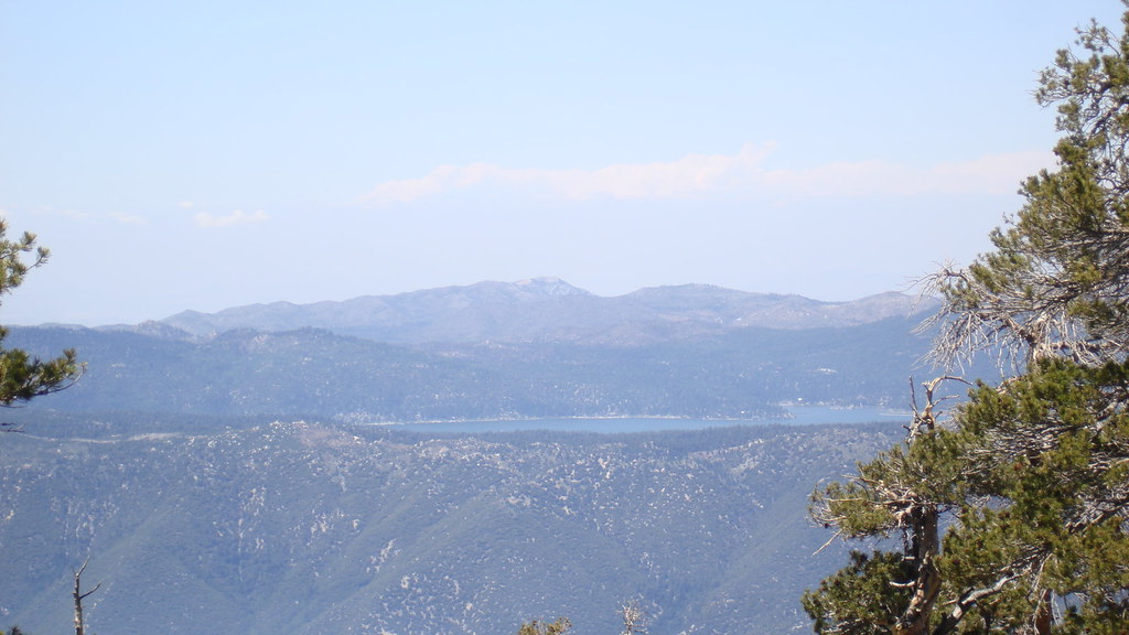
this isn't san gabriels though, this is san bernardino mountains. right?
Ze Hiker
Posts: 1432 Joined: Mon Jul 28, 2008 7:14 pm
Post
by Ze Hiker Wed Jan 13, 2010 3:28 pm
big bear lake...taken from hmm... clear shot so must be one of peaks between anderson to charlton. and trees in shot...I guess Charlton
Ze Hiker
Posts: 1432 Joined: Mon Jul 28, 2008 7:14 pm
Post
by Ze Hiker Wed Jan 13, 2010 4:26 pm
keep em in the San Gabriels!
HikeUp
Posts: 3991 Joined: Thu Sep 27, 2007 9:21 pm
Post
by HikeUp Wed Jan 13, 2010 4:30 pm
Between Icehouse saddle and Kelly camp.
Ze Hiker
Posts: 1432 Joined: Mon Jul 28, 2008 7:14 pm
Post
by Ze Hiker Wed Jan 13, 2010 4:37 pm
somewhat close...but no
lilbitmo
Posts: 1092 Joined: Tue Mar 04, 2008 9:44 pm
Post
by lilbitmo Wed Jan 13, 2010 4:54 pm
Sugar Loaf Peak at top of Falling Rock Canyon?
Ze Hiker
Posts: 1432 Joined: Mon Jul 28, 2008 7:14 pm
Post
by Ze Hiker Wed Jan 13, 2010 5:11 pm
yup. on the trail between etiwanda and cucamonga
edenooch
Posts: 504 Joined: Fri Jul 03, 2009 7:42 pm
Post
by edenooch Wed Jan 13, 2010 8:27 pm
alright ZE! i went thru all my hikes.!!! dont think you get this one!
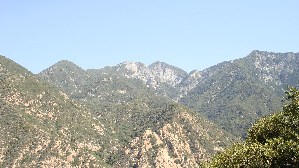
i know u know these peaks. but seen from where?
Mike P
Posts: 1005 Joined: Tue Oct 02, 2007 10:48 pm
Post
by Mike P Wed Jan 13, 2010 8:44 pm
Hmmm... from Idlehour Trail??
HikeUp
Posts: 3991 Joined: Thu Sep 27, 2007 9:21 pm
Post
by HikeUp Wed Jan 13, 2010 8:45 pm
somewhere near where I took this pic...
Mike P
Posts: 1005 Joined: Tue Oct 02, 2007 10:48 pm
Post
by Mike P Wed Jan 13, 2010 10:01 pm
What's the name of the ridge above the trail? Telephone Ridge? or was it from the toll Road?
edenooch
Posts: 504 Joined: Fri Jul 03, 2009 7:42 pm
Post
by edenooch Thu Jan 14, 2010 7:18 am
damn! there is no trail left untrampled by us is there?
Mike P
Posts: 1005 Joined: Tue Oct 02, 2007 10:48 pm
Post
by Mike P Thu Jan 14, 2010 8:44 am
edenooch wrote:damn! there is no trail left untrampled by us is there?
Nope


