Our original intent was to hike only to Bald, but we ended up hiking right past it to the higher, more imposing Peak 4229. I did not realize the error until I plotted my summit waypoint and discovered that we were on the wrong mountain. This reminds me of the old joke. Three Hungarian aristocrats go hiking and get lost. One of them studies a map and announces: "Do you see that mountain over there? We're on top of it."
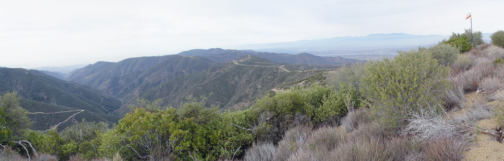
I can appreciate what Rumpled said about Main Divide Road now that I have seen more of it. There are some gnarly spots where high clearance, skid plates, and truck tough tires would be helpful. We chatted with an enforcement ranger driving a new Expedition. He was young, ex-military, and a recent hire. The Cleveland NF got some stimulus money and is beefing up the staff. They need it considering that we found some spent ammo beside the road from a 9mm Lugar.
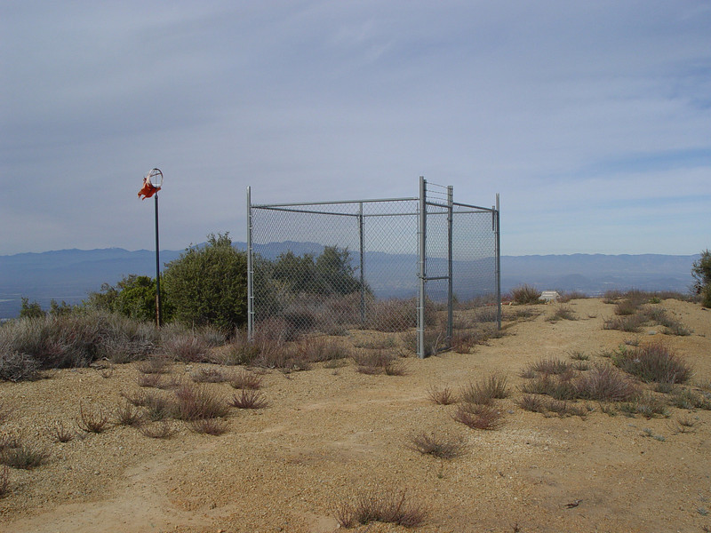
The top of Peak 4229 has a tattered windsock, a fence around nothing, and a monument. These are leftovers from military helicopter landing training.
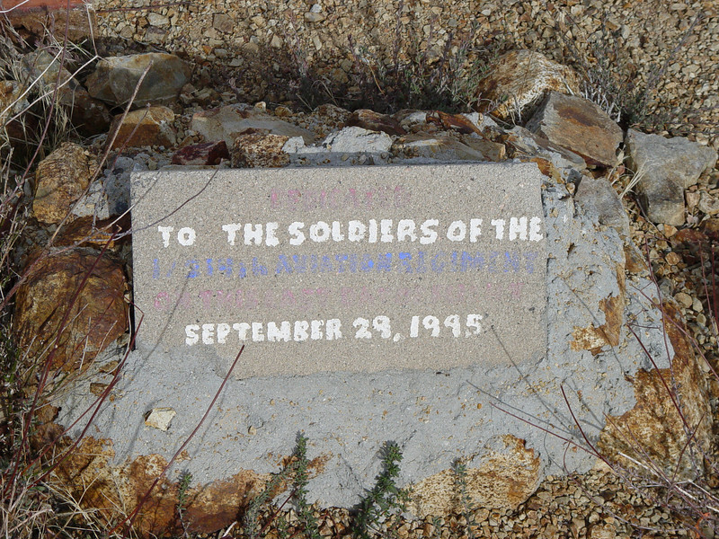
Here is a close up of the monument. I can make out "Dedicated to the soldiers of the 1/214 Aviation Regiment...September 29, 1995". The colored lines are pretty faded.
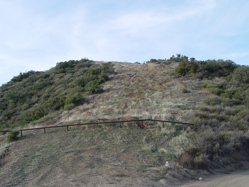
I think this area had a fire in the past. A lot of the hill tops show signs of a firebreak being cut. Most of these also have an iron guard rail to prevent dirt bikes from going over the top. Here is a sample:
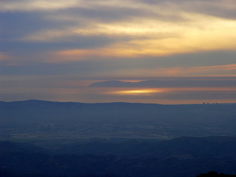
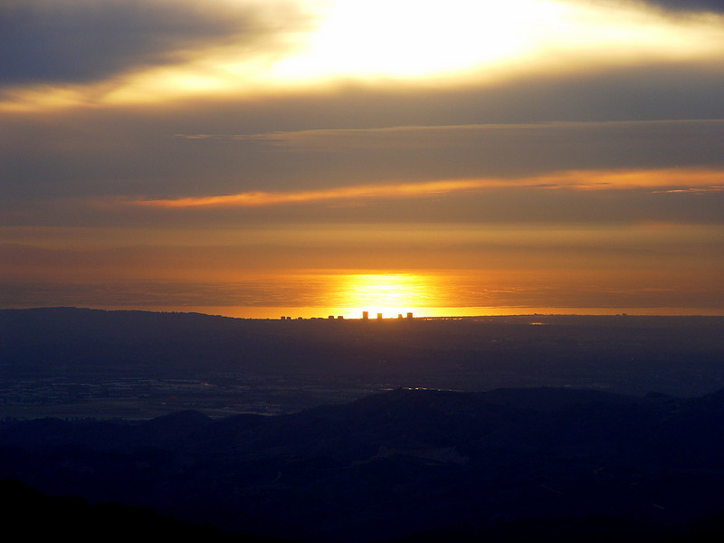
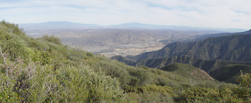
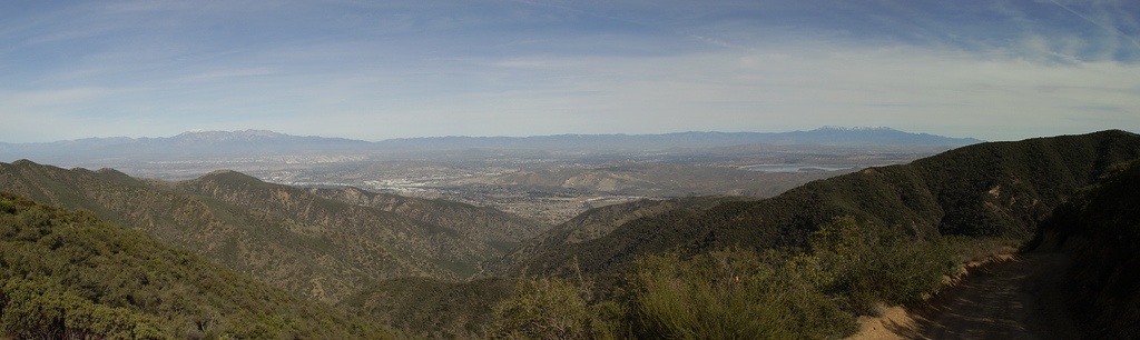
The views are stunning from these mountains. It's airplane seat vistas. I want to come up here the day after the winds blow all of the smog and haze away.
It was sunset as we made our way back to the trailhead. The sun was going down behind Catalina.