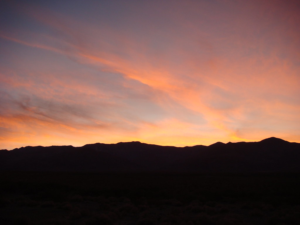
Telescope Peak from Shorty's Well in Death Valley 10/24/09
Got to Shorty's Well (250' below sea level) around 5:30pm on Friday. Did a little exploring before sunset, but couldn't find the well, if one even exists.
Started hiking at 3:50am the next morning. While I was hiking in the darkness, I saw about a dozen shooting stars. By sunrise, I was well into Hanaupah Canyon. The first 7-8 miles are on a gravel road that eventually disappears before you reach the waters from Hanaupah Spring. I cut up to an East-West ridge right about at the point I saw Shorty's Mine on the other side of the canyon.
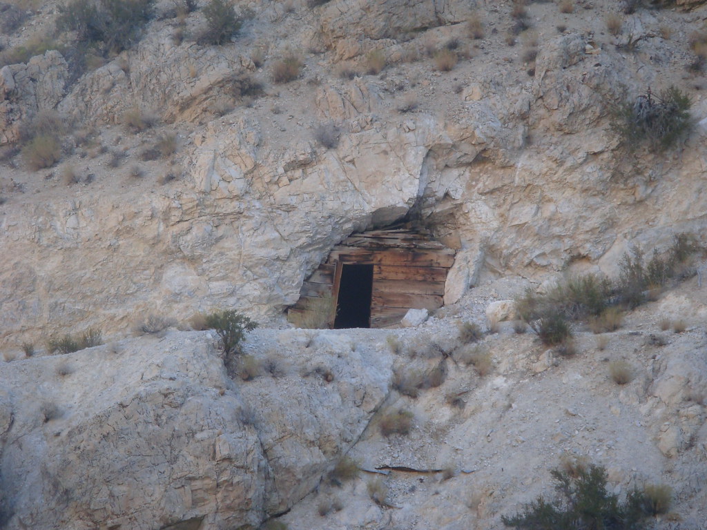
Getting to the ridge was tough. There's no trail and the slope was steep and at times loose. Once I got onto the ridge, I thought the hard part was over, but the ridge itself is pretty nasty. At times, I could follow a faint use trail, but more often than not, I was picking my own path up the ridge. Lots of steep slopes, sometimes with loose terrain like scree or dirt. Traversing the ridge took longer than I expected, due to time spent dealing with the steep slopes and meandering through the trees and brush. The ridge intersects the Mahogany Flats trail to Telescope Peak at around 9900' right next to a large, dead Ancient Bristlecone Pine.
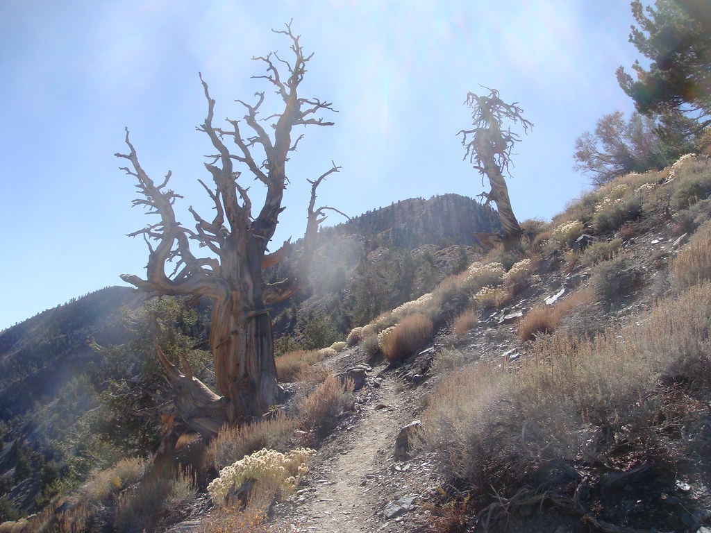
Here's a look down the ridge.
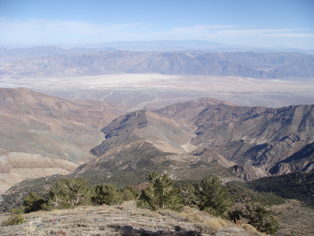
I was so happy to get on a real trail. Made good time after that, and reached Telescope peak by 2:30pm.
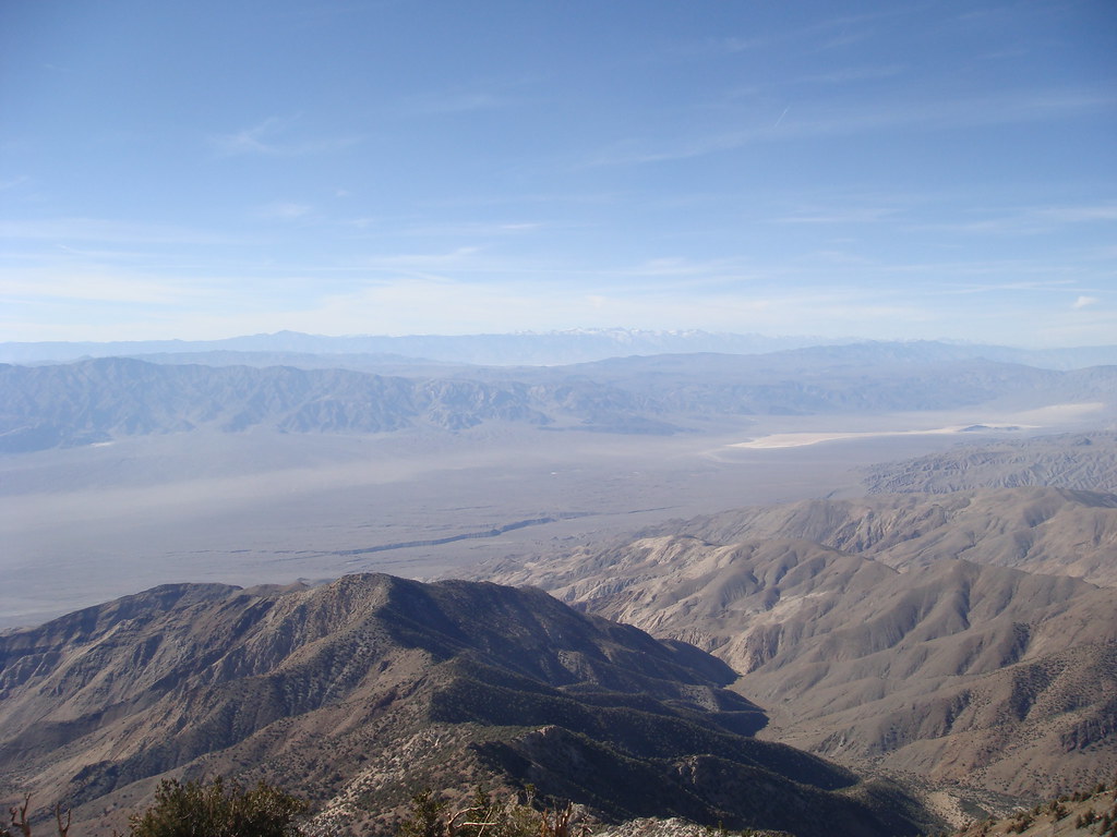
Got to Mahogany Flats at 4:45pm, where Kathy Wing generously shuttled me back to my car. I thought the hike was much harder than Cactus to Clouds, due to the 7-8 mile cross country portion of the hike.
Edited to add: 23-24 miles with over 11,500' gain/3500' loss. About 13 hours.
Thanks! Yeah, I have some more pics on my flickr account. Here's a link to the set.
http://www.flickr.com/photos/20856672@N ... 662339370/
About half the pics were taken the day before the hike. Everything after the pitch black photo are from the hike.
If you like pics, you can browse my other sets on flickr for pics from different hikes, including my Grand Canyon hike I posted about earlier.
Yeah, I have a gps track. I'm not sure how to post files on the board, so I made an everytrail page.
http://www.everytrail.com/view_trip.php?trip_id=400728
Winston wrote:Yeah, I have a gps track. I'm not sure how to post files on the board, so I made an everytrail page.
http://www.everytrail.com/view_trip.php?trip_id=400728
you can attach files to a message here by clicking on "Attach File" link in the lower left of the Post a Reply or composition box
Matt
Thanks! I ran into another guy at the summit who also hiked up from Shorty's Well, but we left at different times, so we both ended up soloing it. He said he left around 1am, several hours before I did. He must have ascended the East-West ridge in the dark, which probably slowed him down a lot. I think a good goal is to reach Shorty's mine, which is where you can head up to the ridge, a little after sunrise so that you can visually pick your route up to the ridge.
I saw him parked at the Well the night before, but didn't think to ask him if he was hiking up to Telescope Peak. When I bumped into him at the top, I found out that he was hiking back down. I mentioned that he could hitch a ride with me, but he had left his bivy down at 5500 ft, so he had to go back down. Now that's hardcore.
- tinaballina
- Posts: 182
- Joined: Thu Jun 18, 2009 11:28 am
Winston, great tr, glad you had a good time. you got some great pics too. Looking forward to seeing you on the 7th.
Thanks Tina. I hope I can make it out the 7th. I ended up adopting a dog the day after the hike, so I need to figure out a good way to board him for a day or two. I have a friend who might be able to take care of him. I'm not crazy about boarding him in a kennel.
http://www.flickr.com/photos/20856672@N ... 672017464/
Thanks Norma. The first pic on my post is actually the sunset the day before my hike. I took it at Shorty's Well. I didn't get good sunrise pics because I was already well into the canyon by sunrise, and it took a while before light started to filter in. I took several pics though looking back out of the canyon after sunrise, and you can see a glipse of the mountains on the other side of the valley.
- tinaballina
- Posts: 182
- Joined: Thu Jun 18, 2009 11:28 am
OMG, how adorable....i am glad you were able to adopt.
Name?
Name?
- tinaballina
- Posts: 182
- Joined: Thu Jun 18, 2009 11:28 am
i like Bandit...sorry, i hit submit by accident.