Not knowing what to expect with regard to road closures, and wanting to avoid fire-displaced throngs in the San Bernardinos, I opted for this eastern approach to Devil's Backbone. My original plan was to make it to Mt. San Antonio, but it was just so darned pleasant atop Dawson that I decided I'd gone far enough. From Lone Pine Canyon Road, I drove south onto 3N31 (Lytle Creek Road), parking where the PCT crosses: elev. 6,289'. By San Gabriel/PCT standards, the ~ 6 mile segment of trail could use a little trimming, which I was ill-equipped to handle on this trip. The trail climbs gradually to ~ 8,400' until it's time to scramble down to the Sheep Mountain Wilderness boundary and take the North Devil's Backbone for points south, and up. I encountered a total of six hikers on this trail, then a group of ~ a dozen (think Icehouse) on their way back from Gobbler's Notch. The smoke plume from the Station Fire was disheartening, to say the least. The climate was cool, clear, breezy and pleasant, at least until late afternoon as I descended and things were heating up.
Stockton Flat from the PCT.
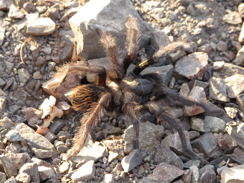
A beautiful
Theraphosidae.
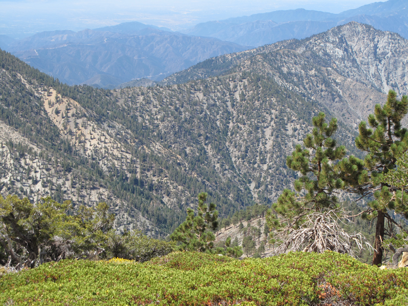
Partial profile of the Devil's Backbone as seen from the East.
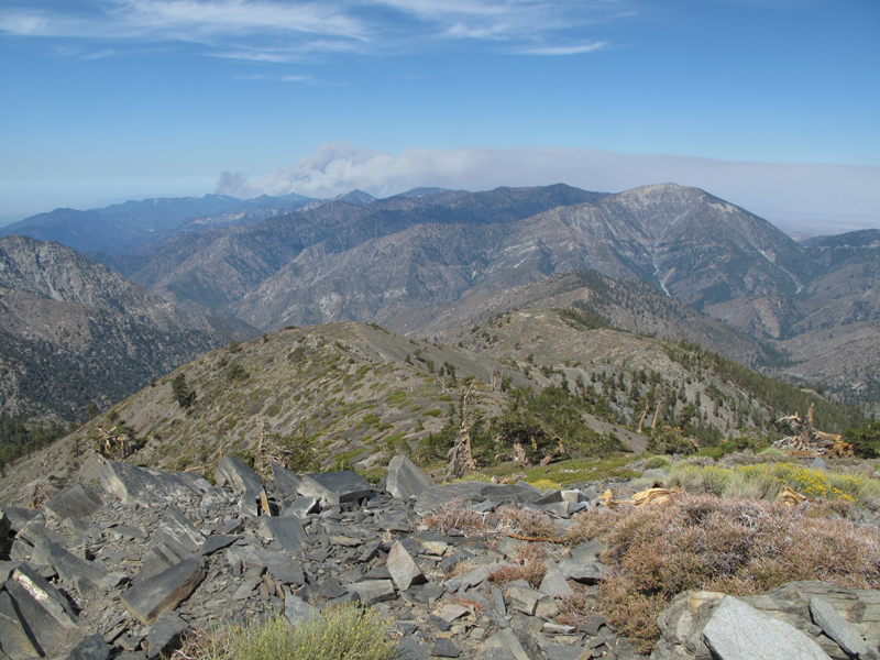
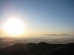
Pine Mountain's West ridge, Baden-Powell and the Station Fire smoke plume.
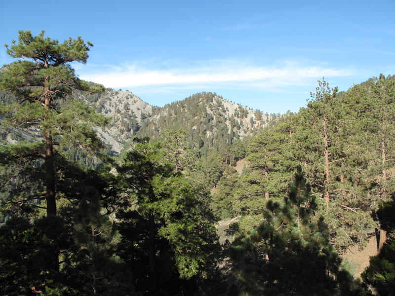
San Antonio Ridge and Iron Mountain.
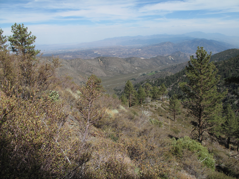
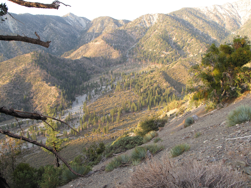
Lone Pine Canyon seen from PCT.
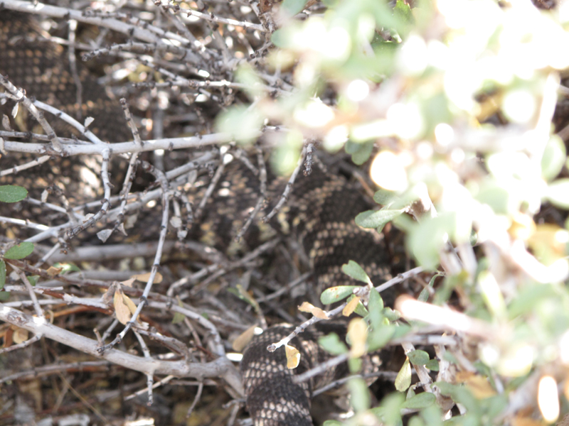
A receding
Crotalus that was relaxing on the trail. I couldn't see the business end of this rattler, thus the poor picture.
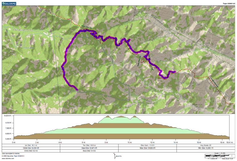
Track and elevation profile for the hike.