Third Stream Falls (Middle Fork Lytle Creek)

TRs for the San Gabriel Mountains.
Post Reply
User avatar
Sean
Posts: 3749
Joined: Wed Jul 27, 2011 12:32 pm

Post by Sean »

Cecelia and I hit up the Middle Fork Trail in Lytle Creek on Sunday during the rain. Mostly light rain, some heavy at times. The first part of the trail was alive with common SGM flowers. But we did find something that is apparently rare, a type of Cancer Root.

Image

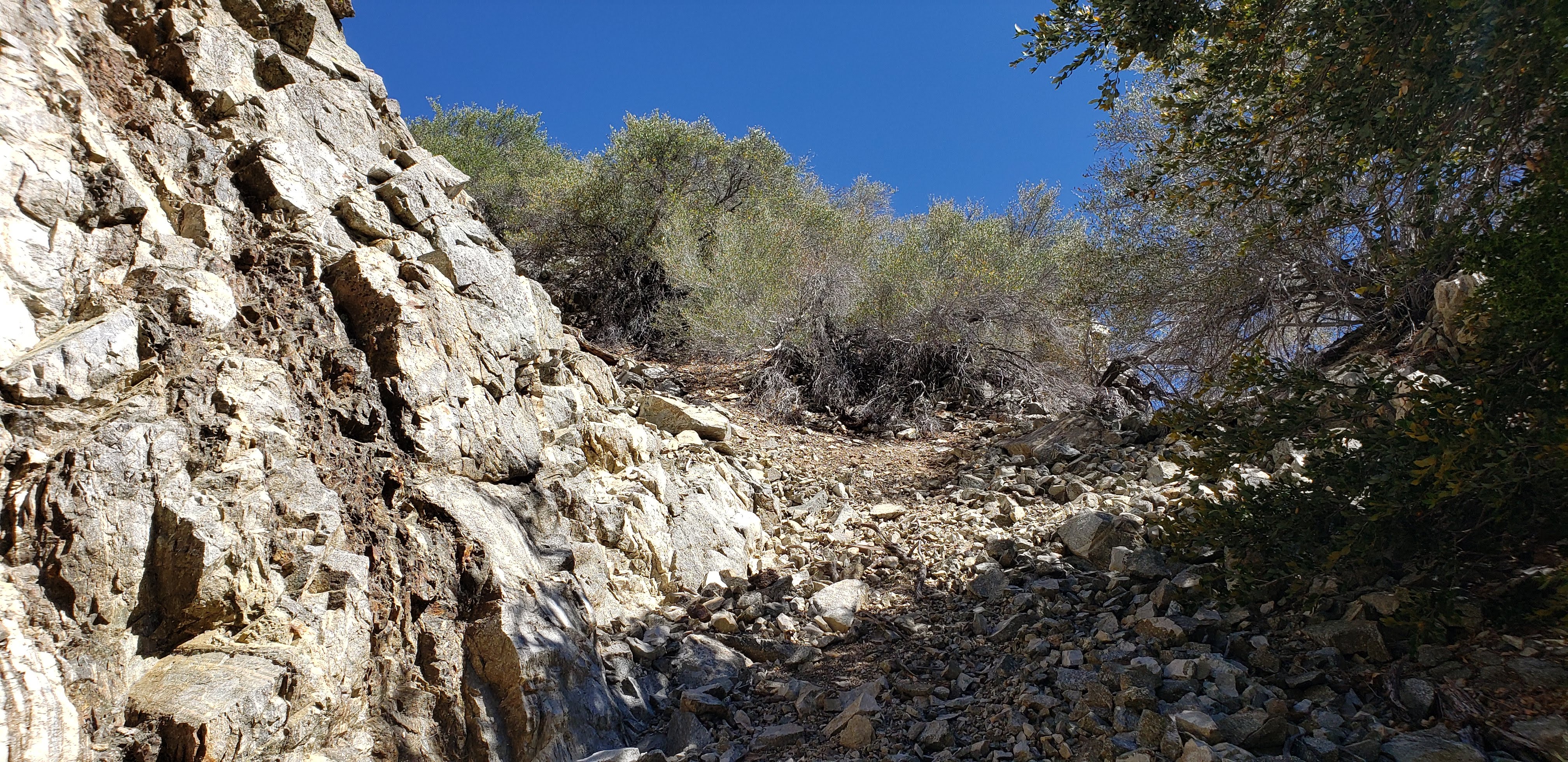
On the way upstream we took the low trail through the Stonehouse Camp area. This route was a little obscure and overgrown, but the trail is discernable if paying attention. It's worth doing this section, if only to see the first and second stream crossings before reaching Third Stream Crossing camp.

Image

Image

Image

Image

After going through Stonehouse the trail regrouped with the high/main trail.

Image

Image

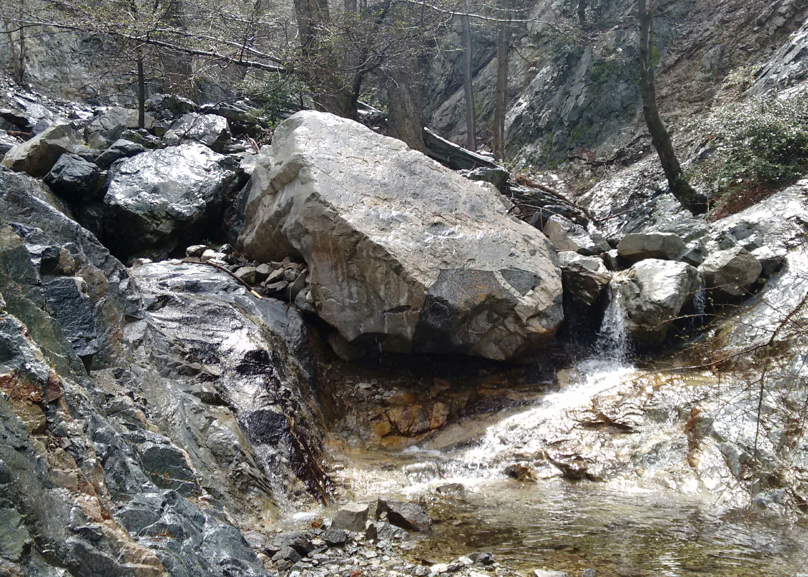
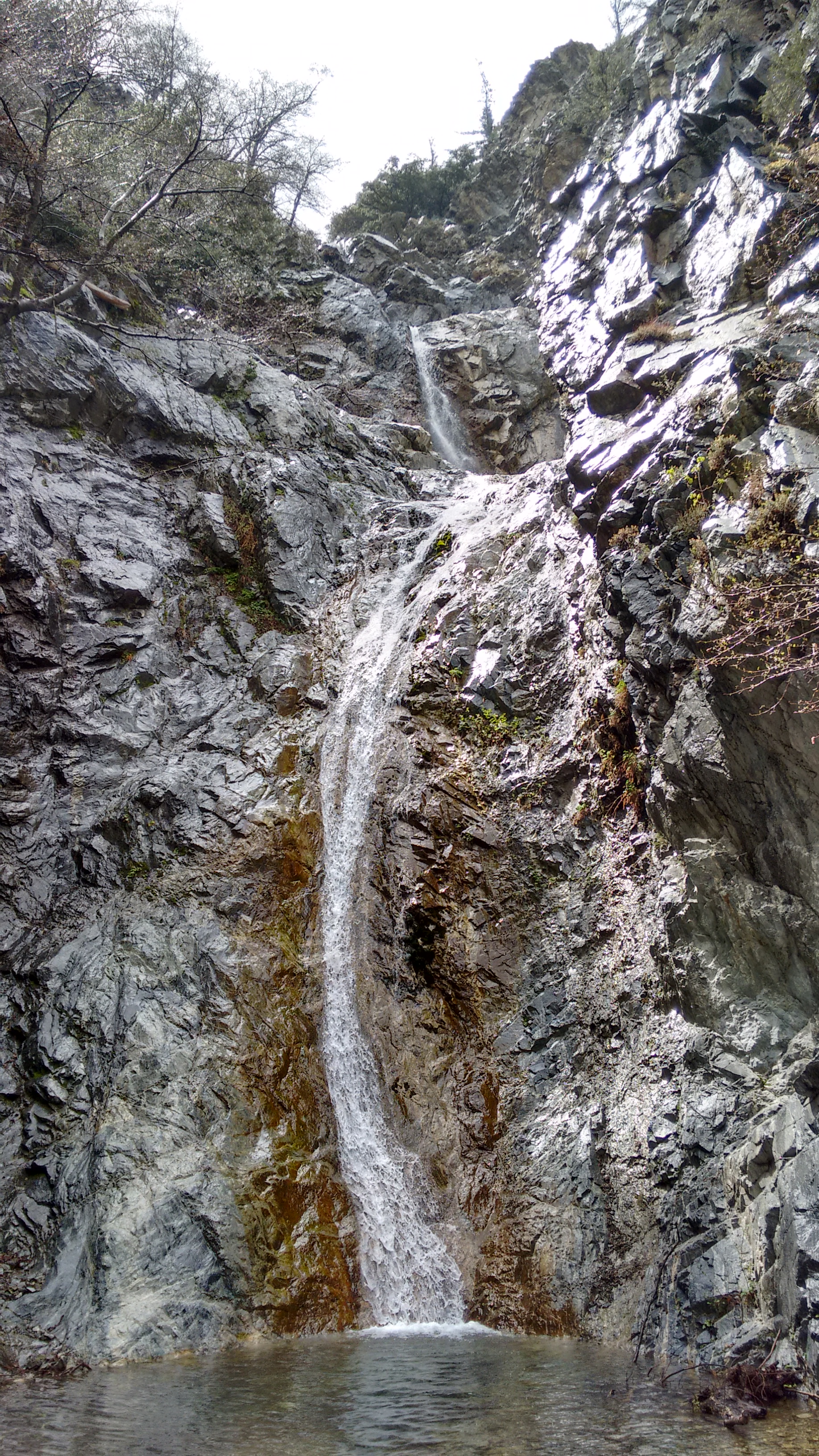
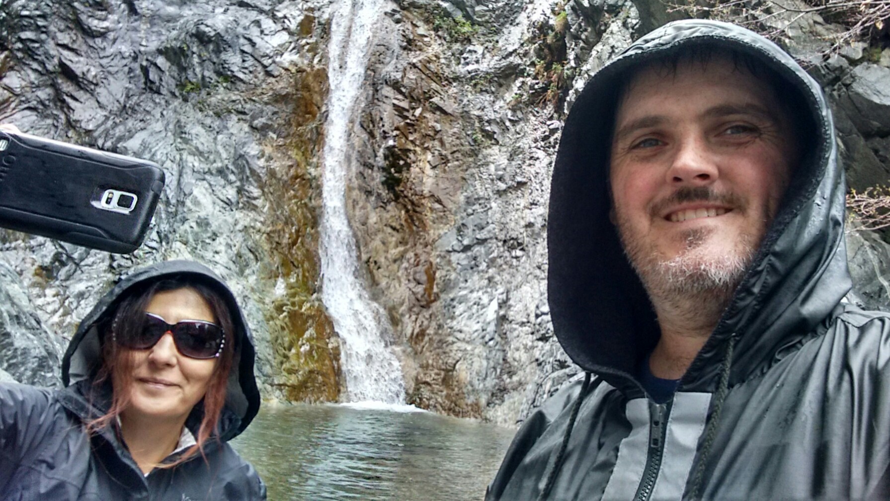
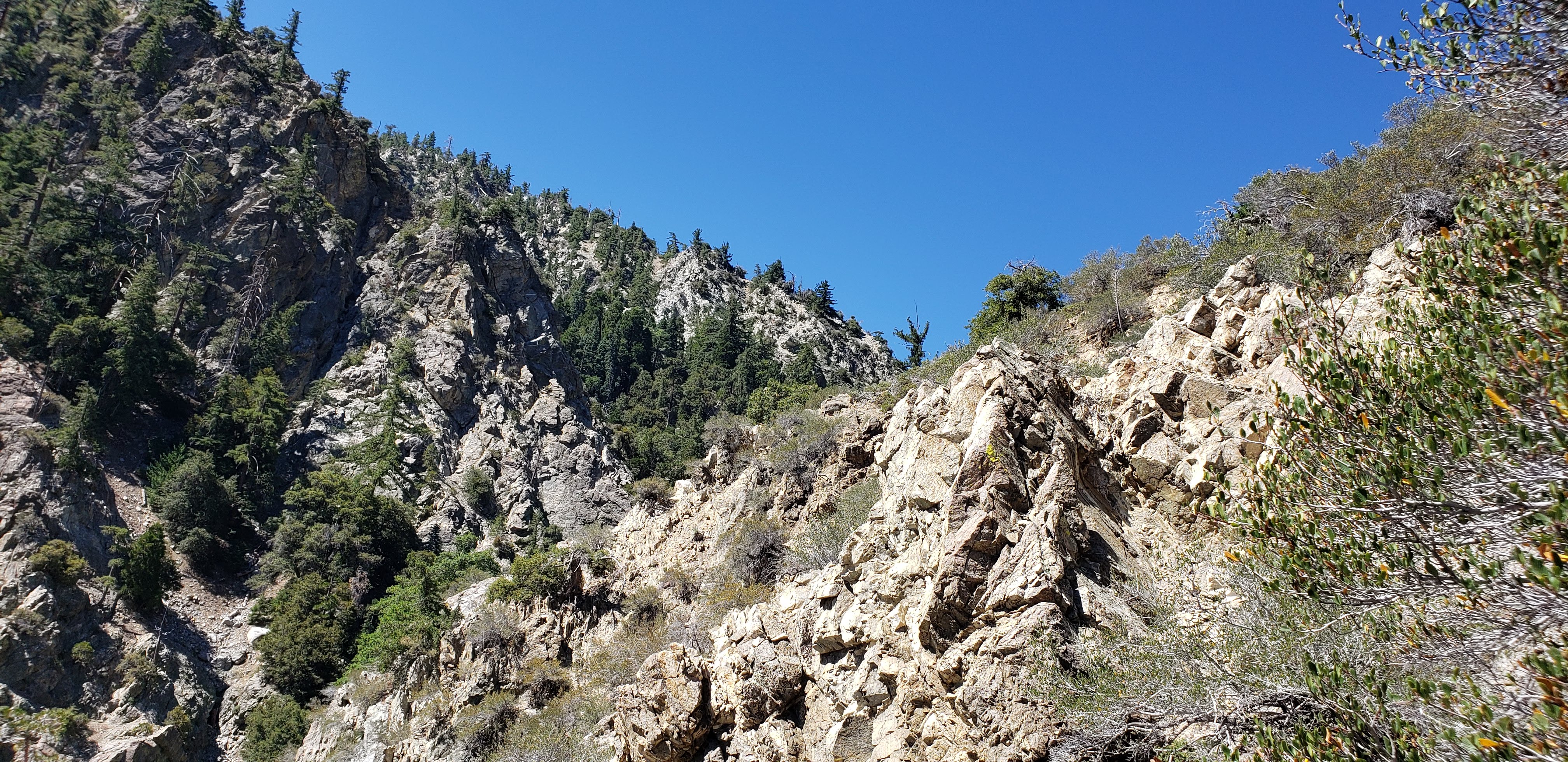
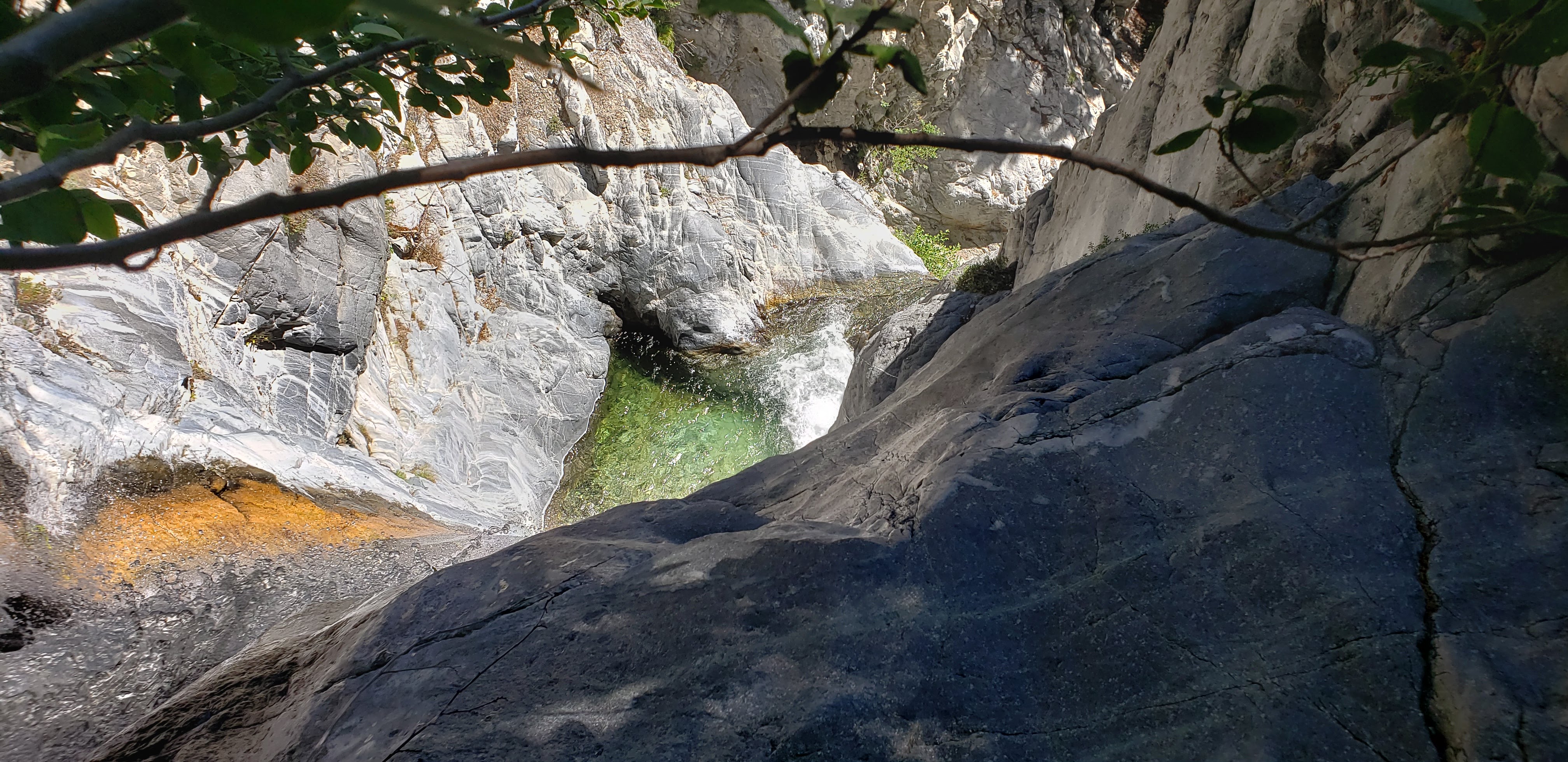
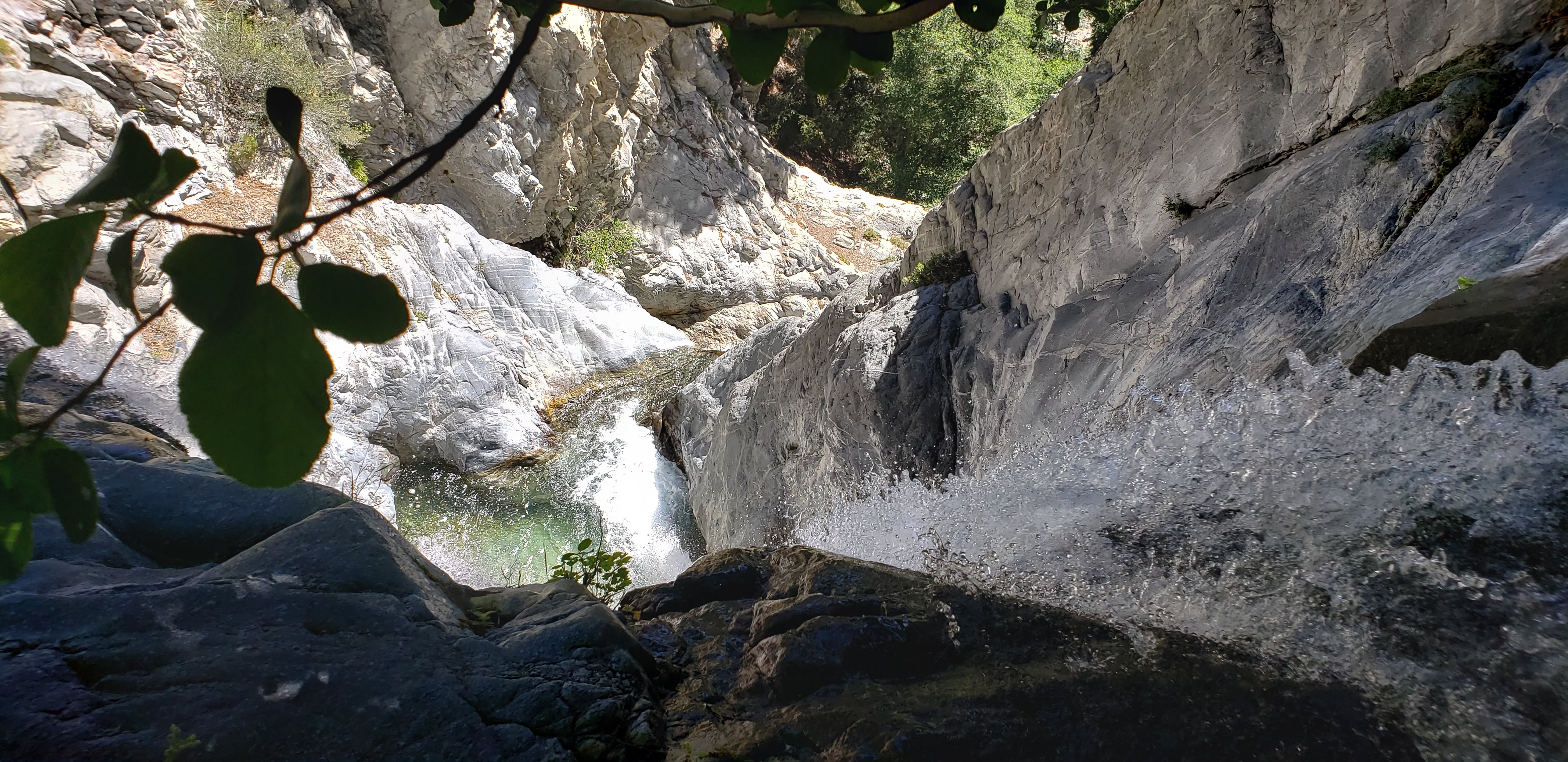
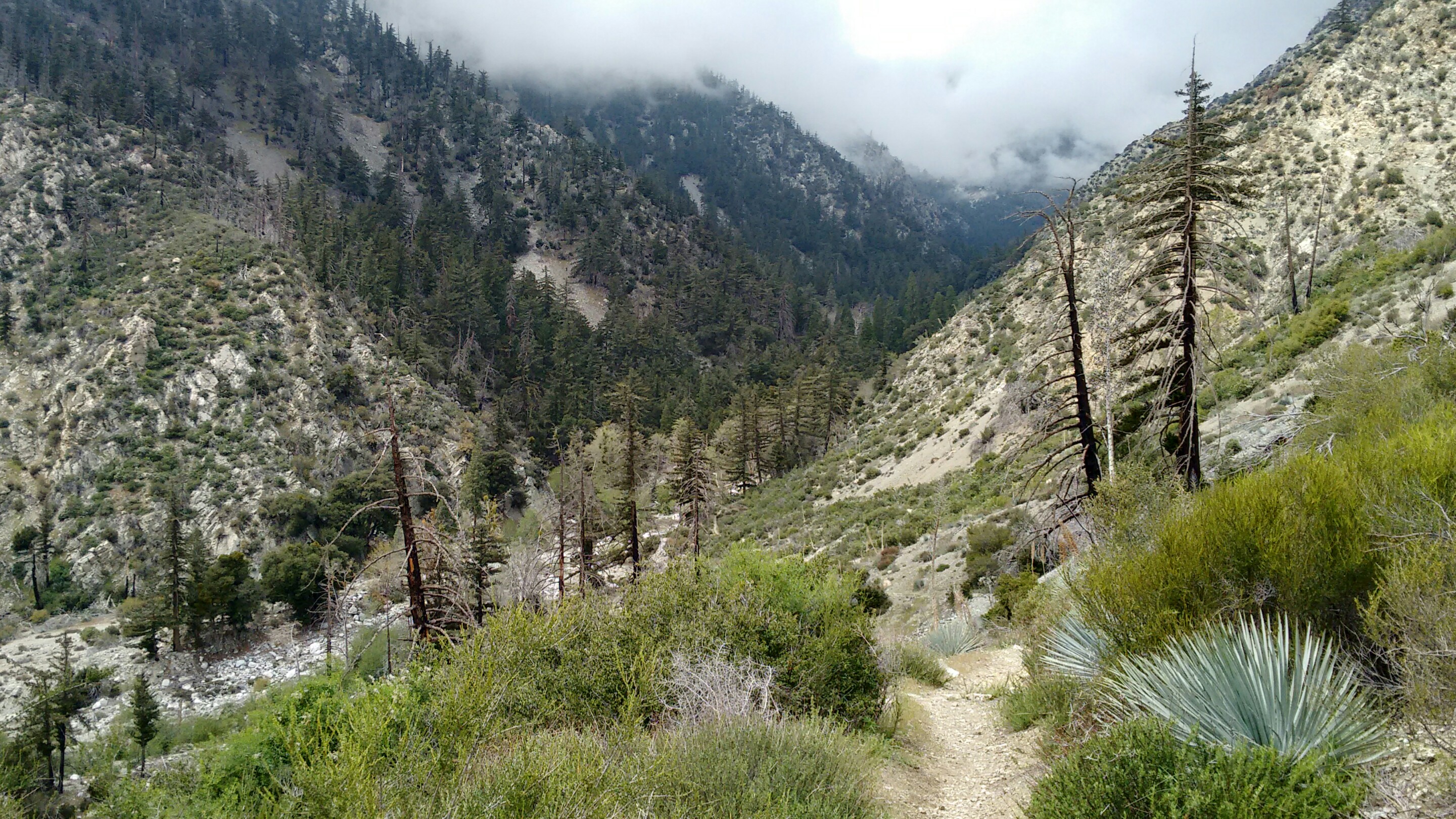
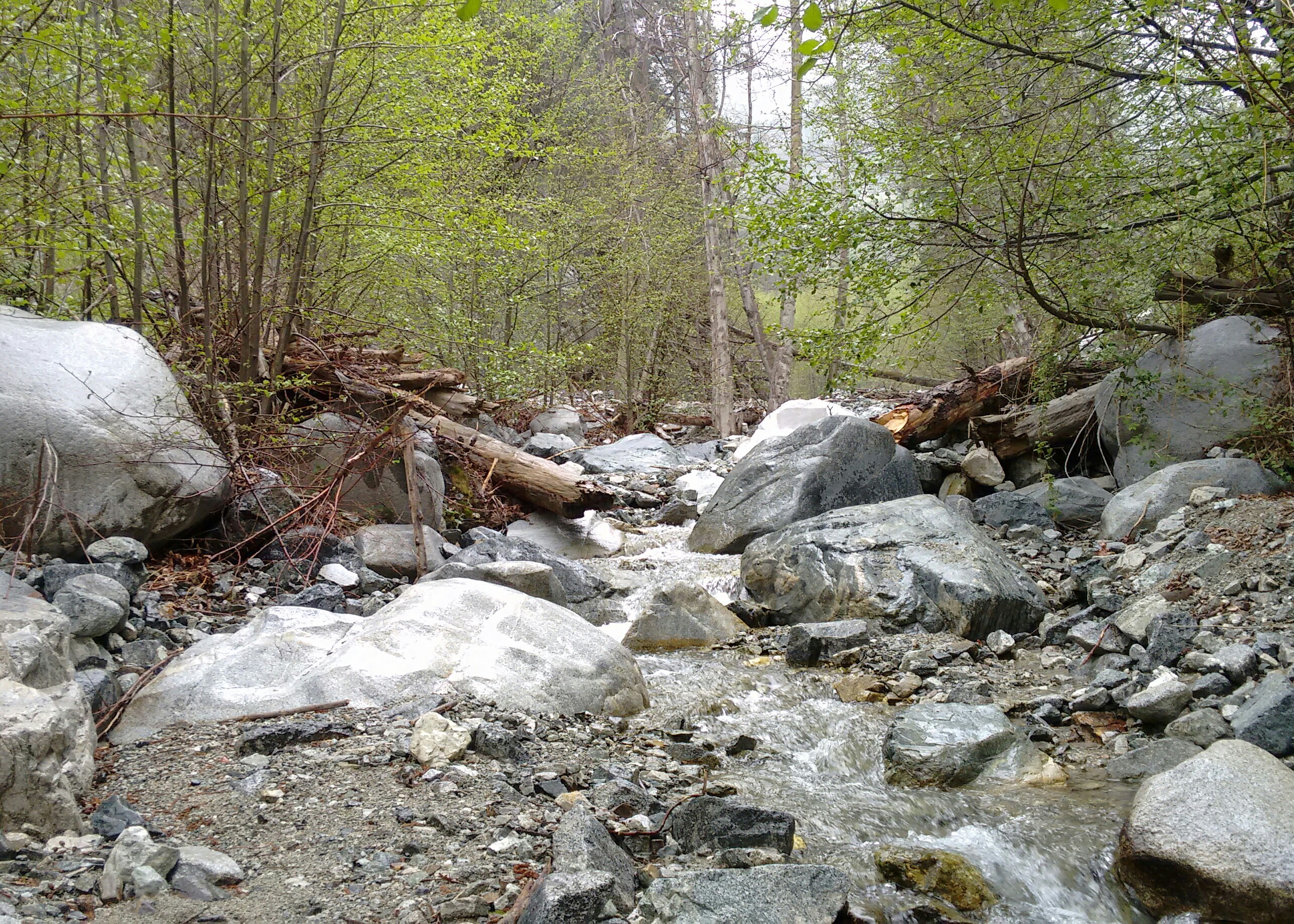
After the Third Stream Crossing, instead of continuing upward on the main trail's switchbacks, we followed a use trail downstream, along the south bank. Not far down, an obvious tributary with high, rocky walls came in from the right. We entered this narrow canyon and scrambled up about a quarter-mile or so to the peaceful sanctuary of a hundred-foot, multi-tiered waterfall, locally known as Third Stream Falls.

Image

Image

Image
User avatar
Ellen
Posts: 139
Joined: Sat Jan 19, 2008 11:28 am

Post by Ellen »

Thank you for the gorgeous photos and trip report Cucamonga Man :) I've never been on the trail to 3rd stream crossing -- need to remedy that after seeing your post. Very lush -- visions of Lord of Rings.

Miles of smiles,
Ellen
User avatar
tekewin
Posts: 1194
Joined: Thu Apr 11, 2013 5:07 pm

Post by tekewin »

What a cool waterfall. I had no idea it was even up there. Thanks for sharing.
User avatar
JeffH
Posts: 1154
Joined: Sun Nov 28, 2010 7:09 am

Post by JeffH »

Add me to the list of people that want to go there now too.
Despite the rain it looks like a good day to be out.
"Argue for your limitations and sure enough they're yours".
Donald Shimoda
User avatar
tekewin
Posts: 1194
Joined: Thu Apr 11, 2013 5:07 pm

Post by tekewin »

I've wanted to do this hike since the report and yesterday followed in the footsteps of Sean and Cecelia. I tried to do this last year but the road was washed out too badly. It has been repaired but still had some potholes. Since it was my first time here, I stuck with the upper trail when it split. The use trail to the falls was in good shape and there were 3 other hikers there when I arrived. When they left, I saw them going up a use trail on the right side of the falls. I thought it was a bypass for the rocks, but instead it circled back above the falls. They stopped at the first ridge, but I continued up a 45 degree dirt/scree slope, class 2+. At the top of the bump, the use trail dropped about 100' to the top of the falls. I think it might be 3-tiered based on the view from the top. Here are a few photos...

Image
Scree slope on right side of falls

Image

Image
View from the right side

Image
View from the left side
User avatar
Sean
Posts: 3749
Joined: Wed Jul 27, 2011 12:32 pm

Post by Sean »

Cool, we saw that access to the top but weren't eager to try it in the rain. Glad to see it vicariously through your pics.
User avatar
dima
Posts: 1320
Joined: Wed Feb 12, 2014 1:35 am

Post by dima »

Thanks for posting that. I love that you didn't include any "normal" photos of the falls :)
User avatar
tekewin
Posts: 1194
Joined: Thu Apr 11, 2013 5:07 pm

Post by tekewin »

Sean wrote: Cool, we saw that access to the top but weren't eager to try it in the rain. Glad to see it vicariously through your pics.
It would have been a mud slide in the rain. No bueno.
Post Reply