The trail starts from a turnout on Spunky Canyon Road, north of Bouquet Canyon Reservoir.
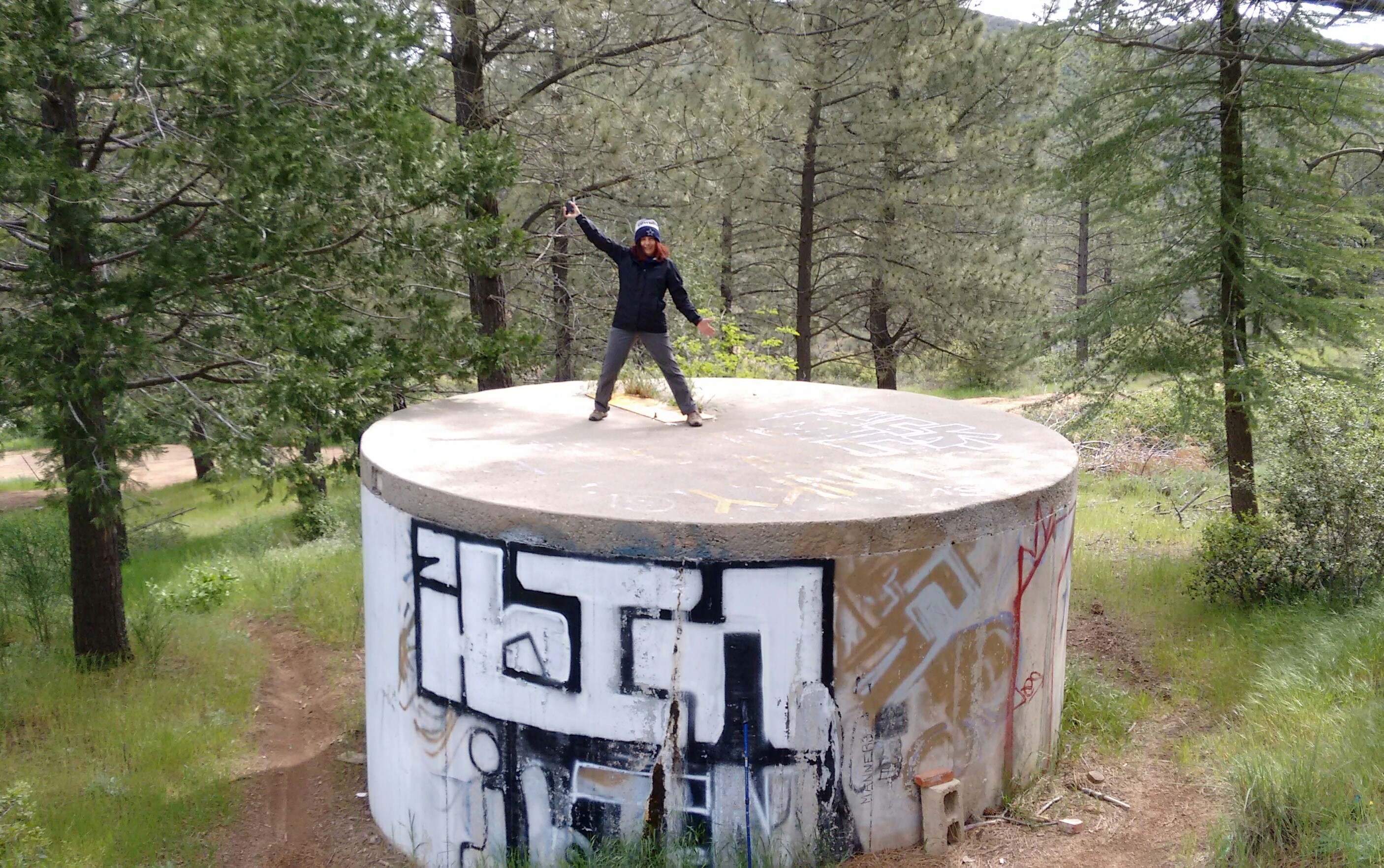
Right at the start of the hike we had the option of continuing straight onto the ridge route or turning right onto the main trail, which passes a large water tank.
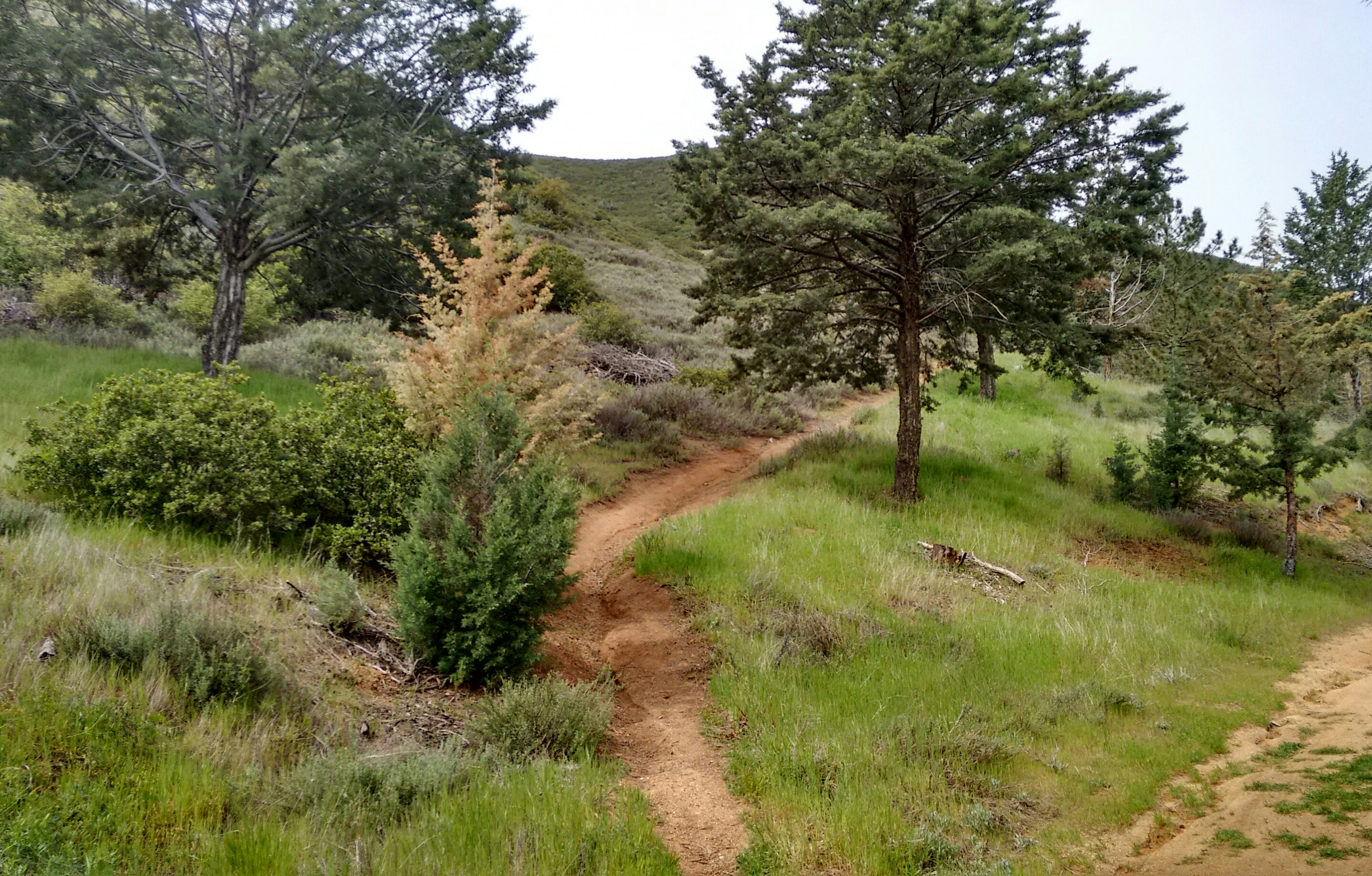
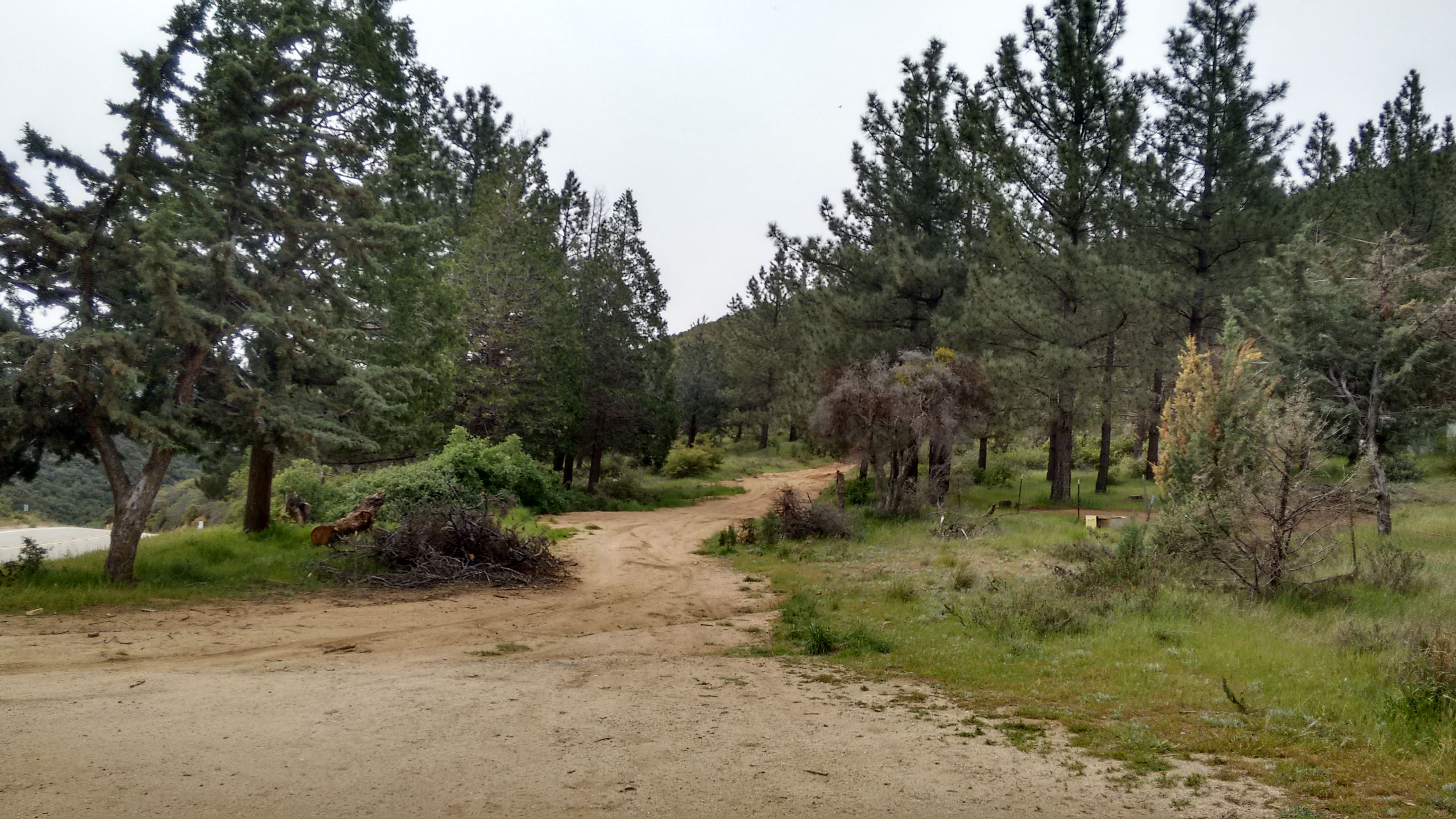
(main trail)
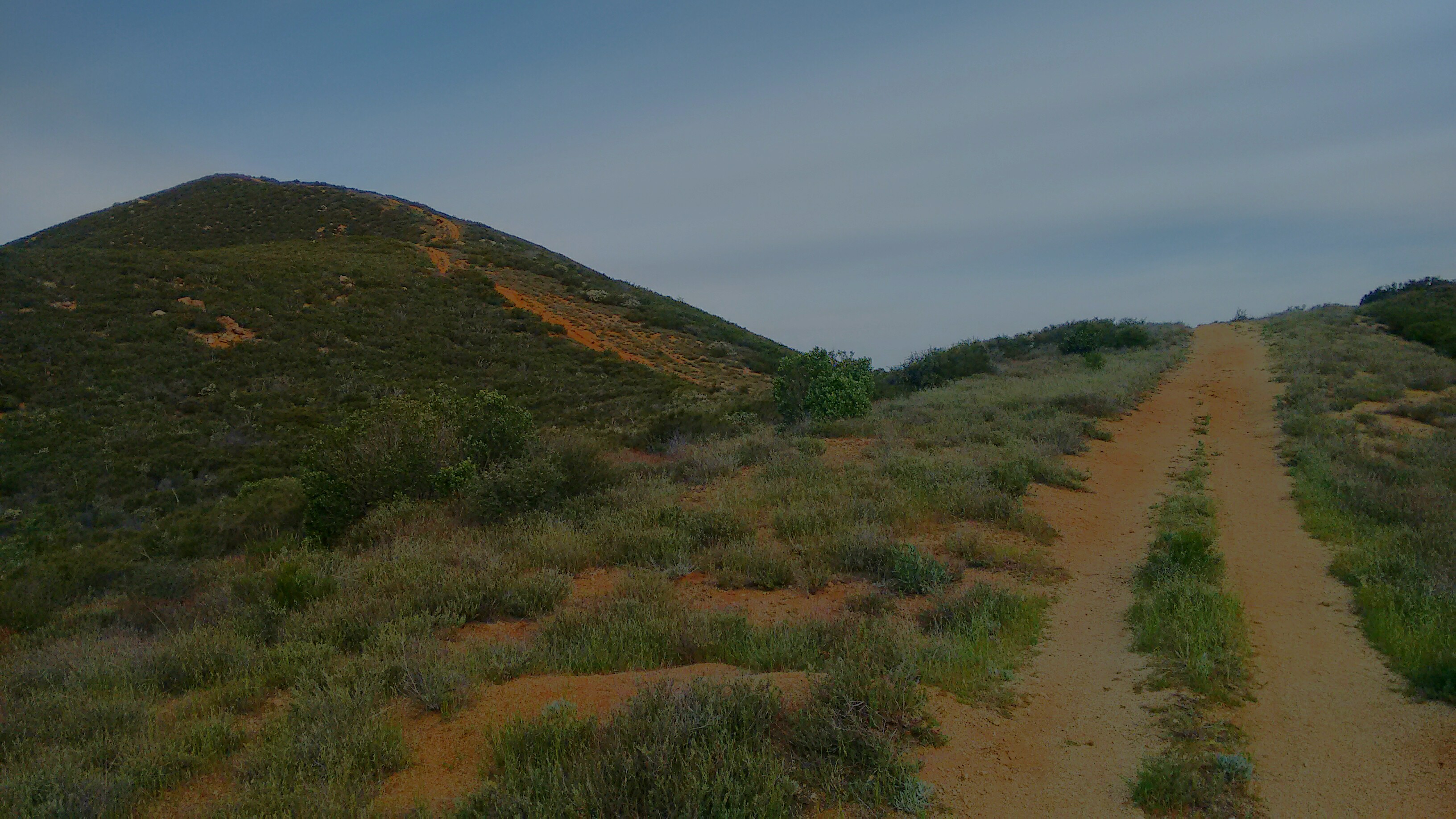
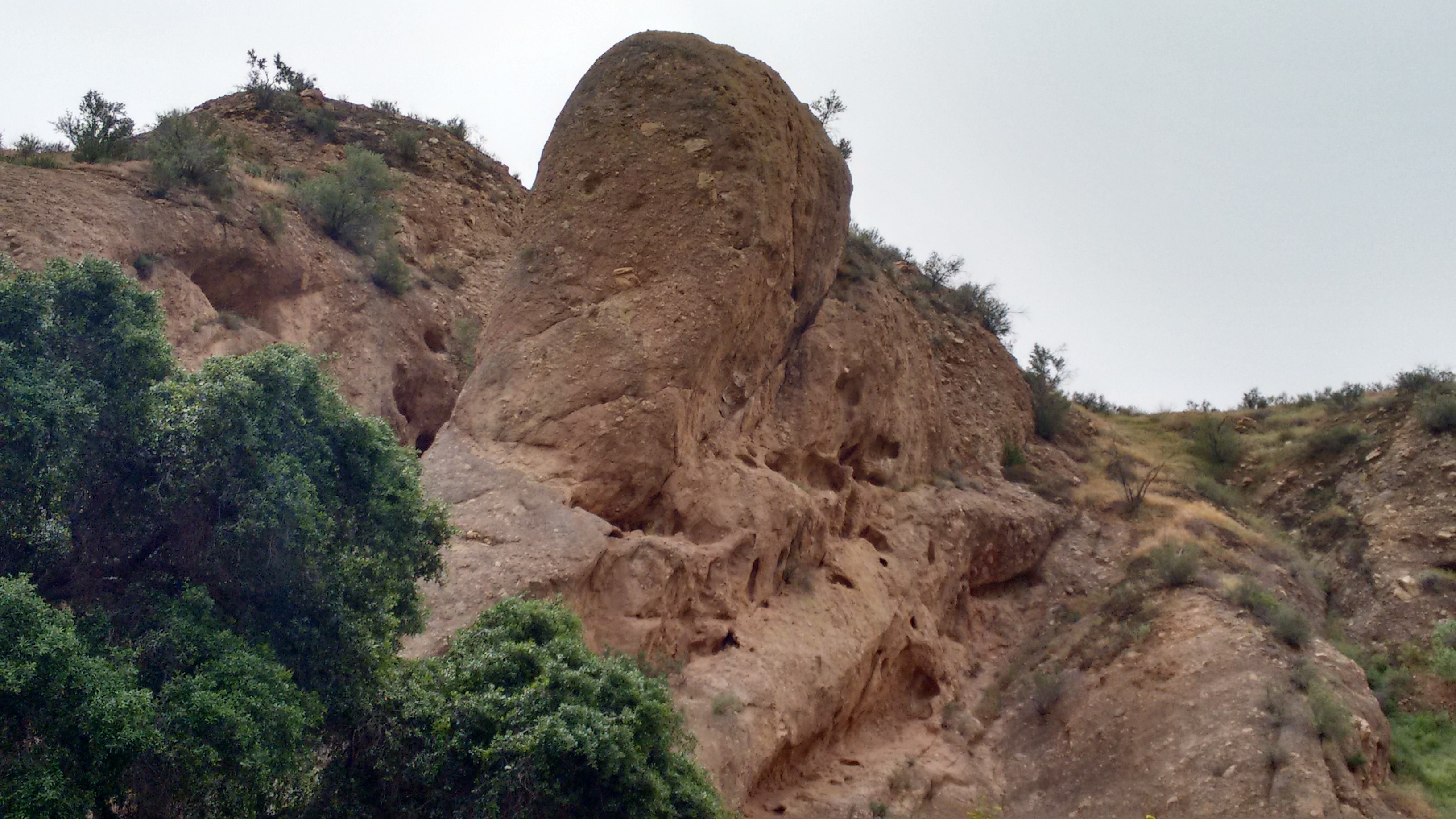
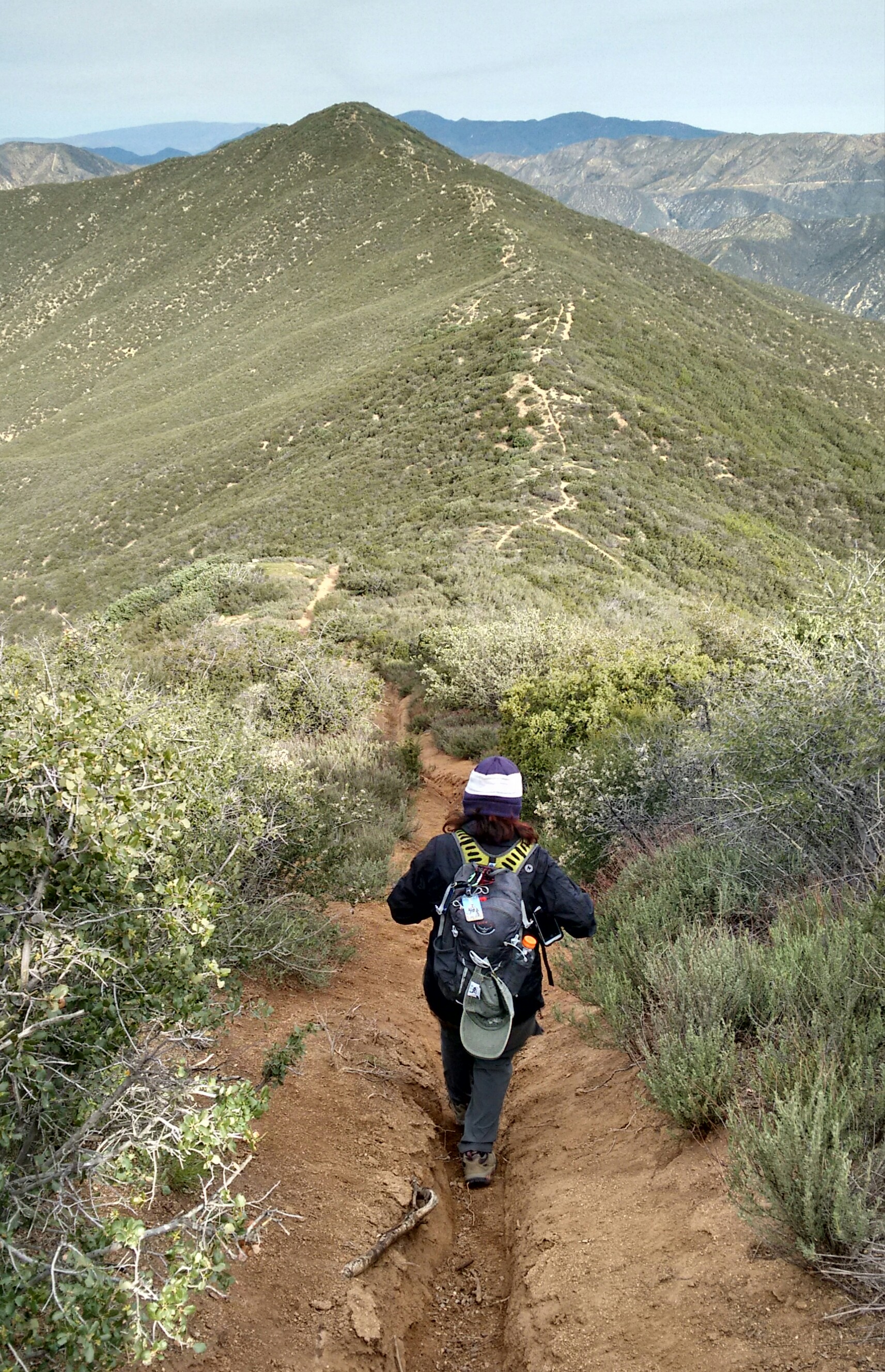
(mid-way up the ridge route)
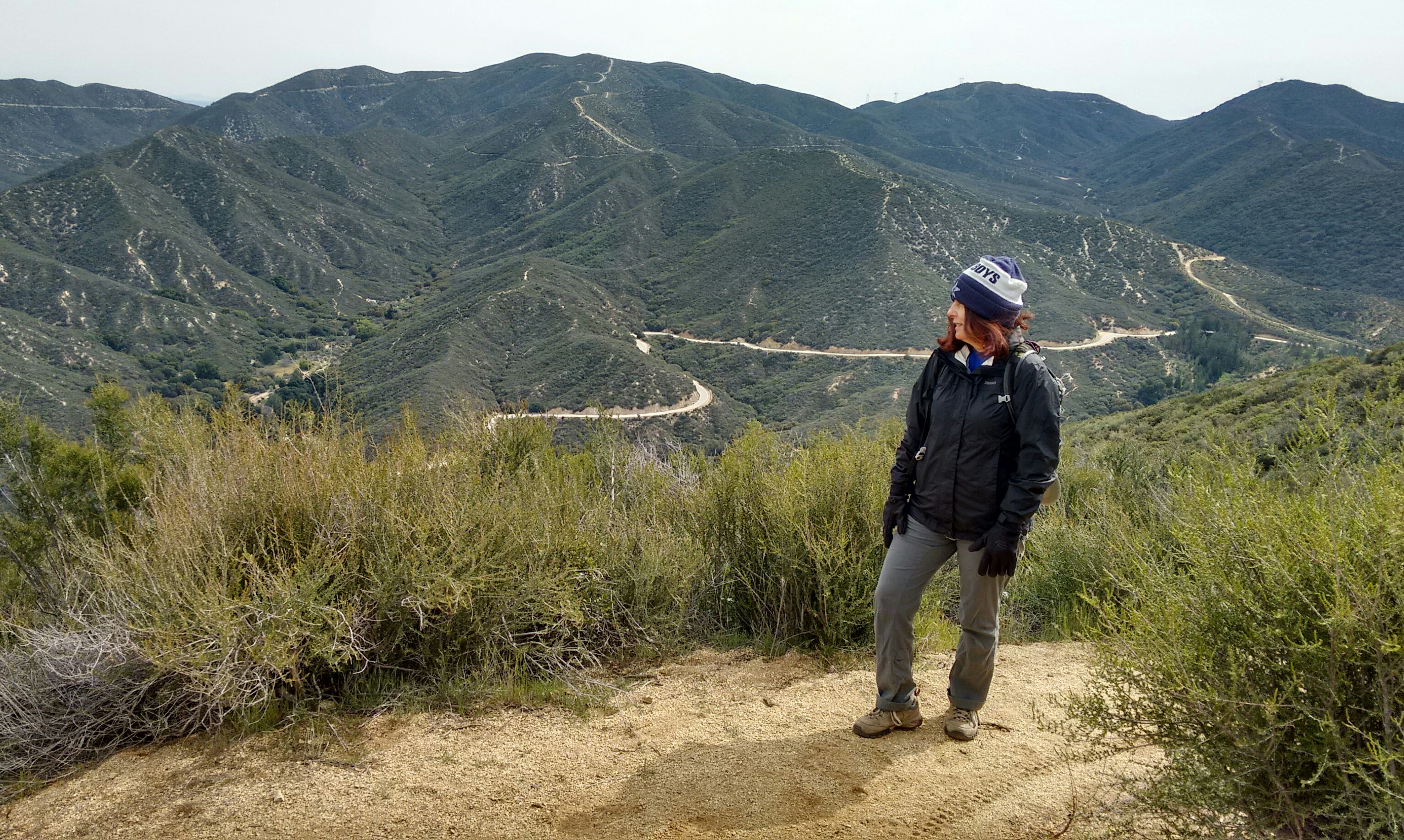
We chose to ascend the ridge route/firebreak. It was fairly steep, gaining a thousand feet in one mile. It took this slowpoke fifty minutes to get up to the summit, where Cecelia was waiting for me.
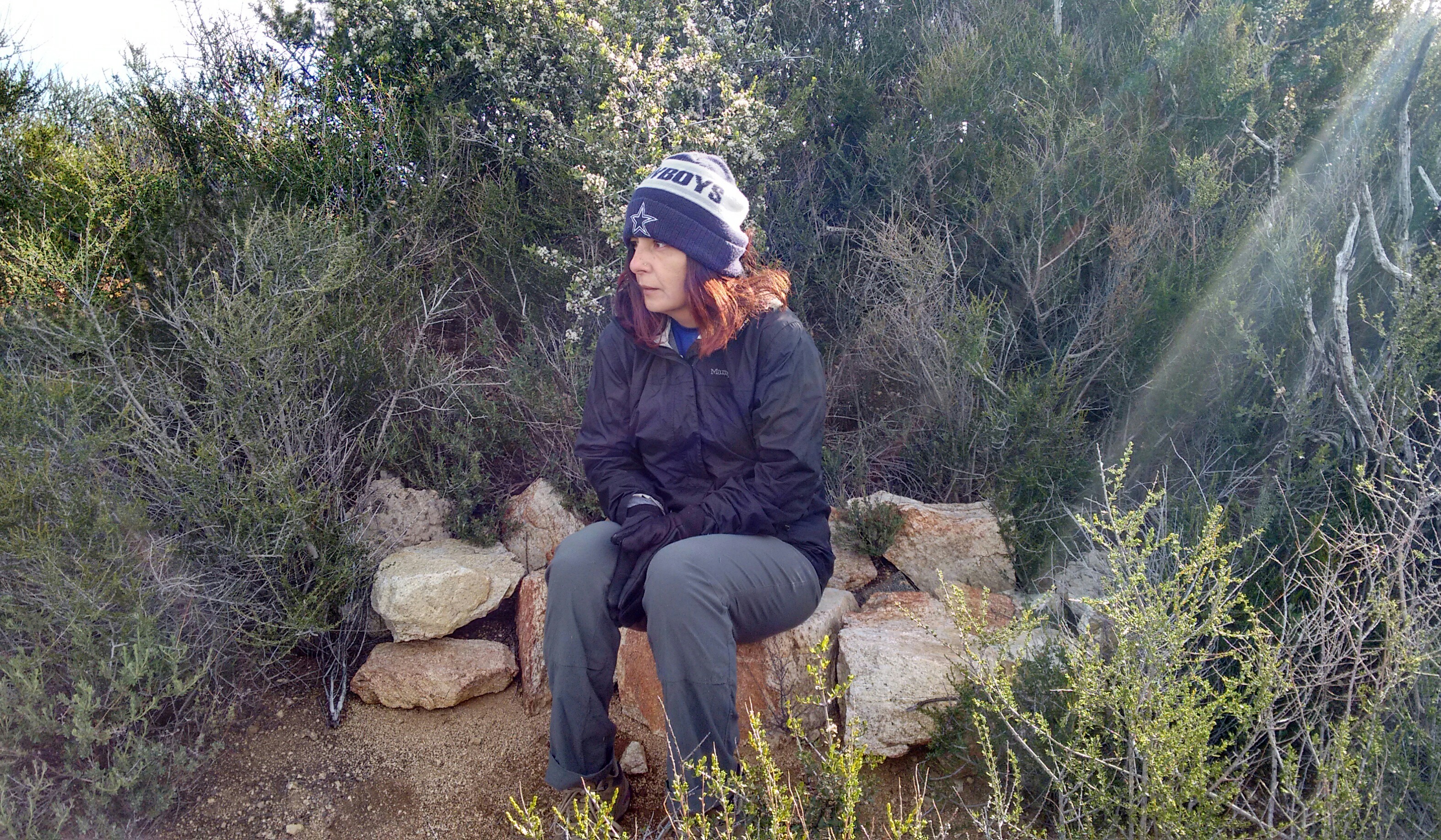
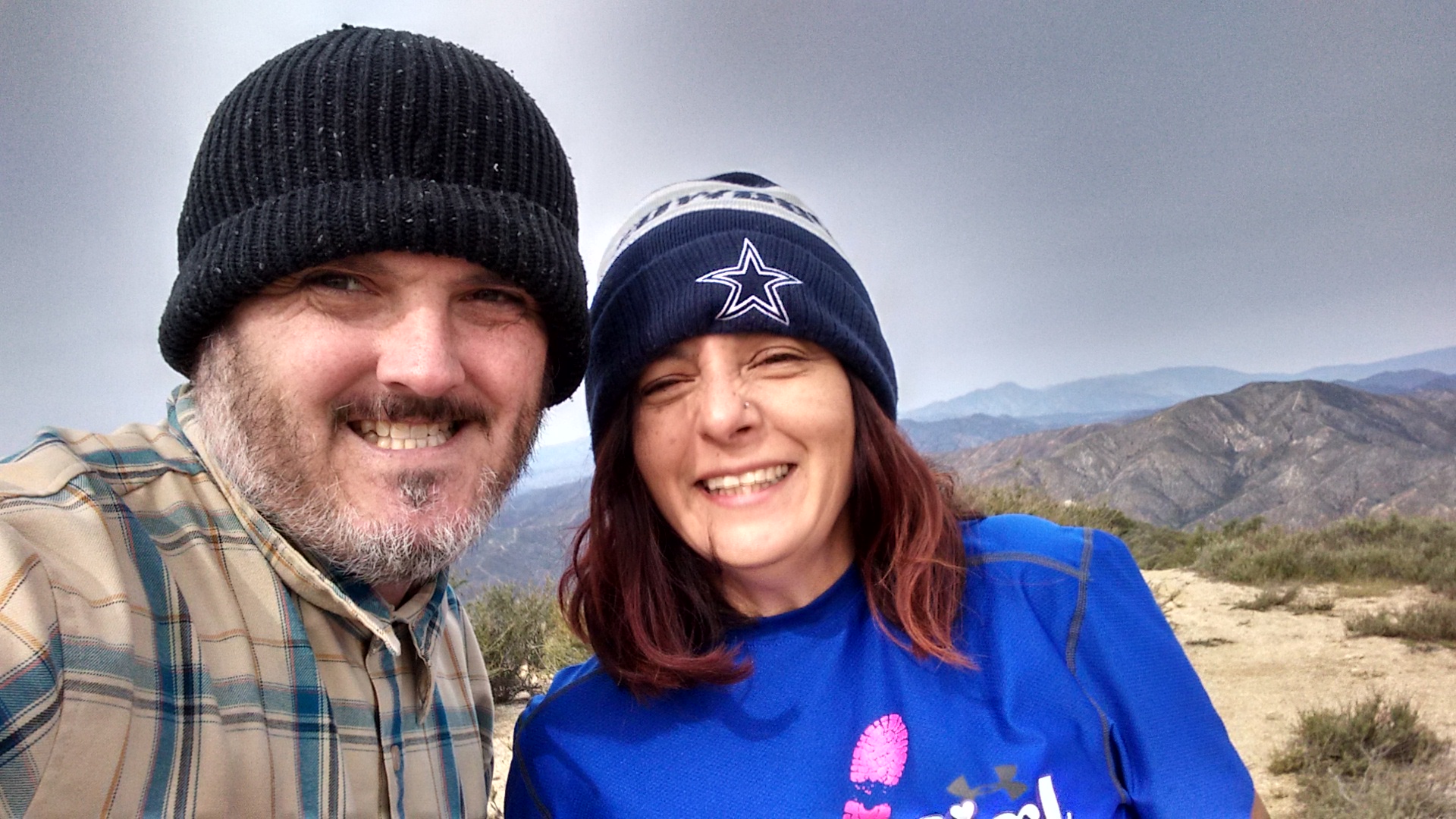
Having started fairly early in the morning, the air was still very cold considering the wind chill factor, which indeed seemed considerable. The frigid breeze blew quite vigorously and steadily up on the ridge. Both of us put on beanies and gloves, but still my face felt just about frozen solid.
Apparently my brain seized up as well, because all the while I figured that we were on Juno Peak, and that Jupiter Mountain was the one further to the northwest.
Though some of the blame for this error can be shifted to Mr. Garmin Map.

Garmin labels Jupiter Mountain on the slightly lower, western-most point of the mile-long, three-headed monster. (The middle head is a small bump beside the saddle junction where the main trail hits the ridgeline.) Adding to the confusion, USGS places the northwestern head smack-dab in the middle of the words "Jupiter" and "Mountain."

My god, how is a fella with a frozen noodle s'posed to achieve enlightenment by looking at these maps?
For what it's worth, Tekewin says that Jupiter is the higher, eastern-most highpoint (4496'), so I'll just assume he knows what he's talking about.
Anyway, after Jupiter Mountain, the wind died down a bit. Our trek over to Juno Peak included many hitchhiking ticks along the way. I almost convinced Cecelia that some ticks can fly through the air. She was covered in them.
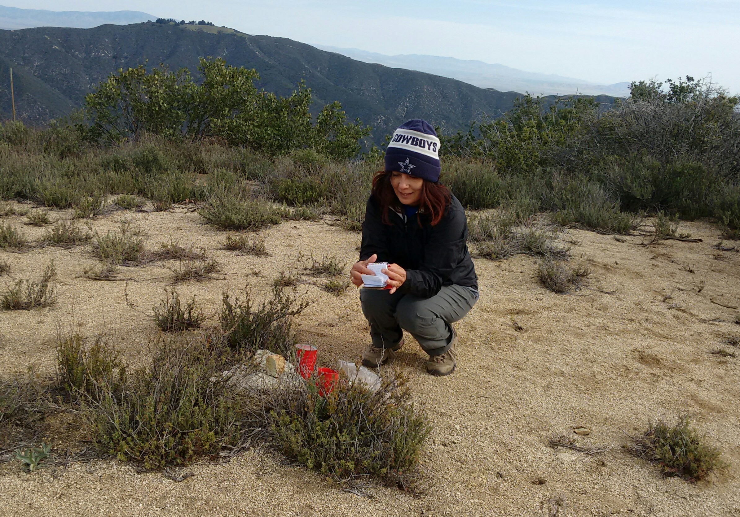
Juno Peak held a register, which was our first real clue that I had no idea which beasthead was the "official" Jupiter Mountain. Because the register called this peak Juno, or Jupiter Mountain West. But at this point I no longer cared about much except drinking my Vitamin Water and eating my sweet, sweet, orange. Meanwhile Cecelia flipped through the register, which always makes her extremely happy.
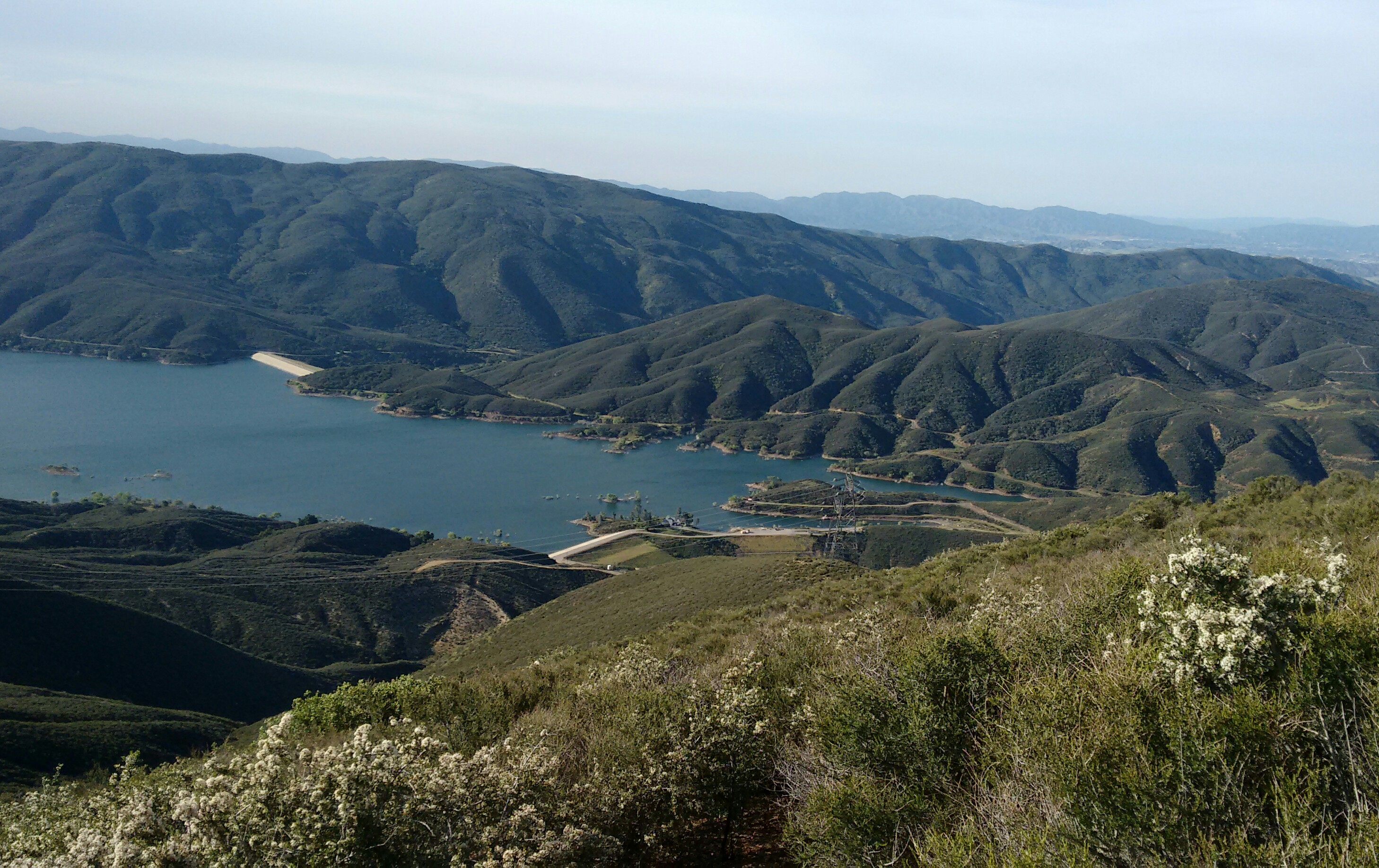
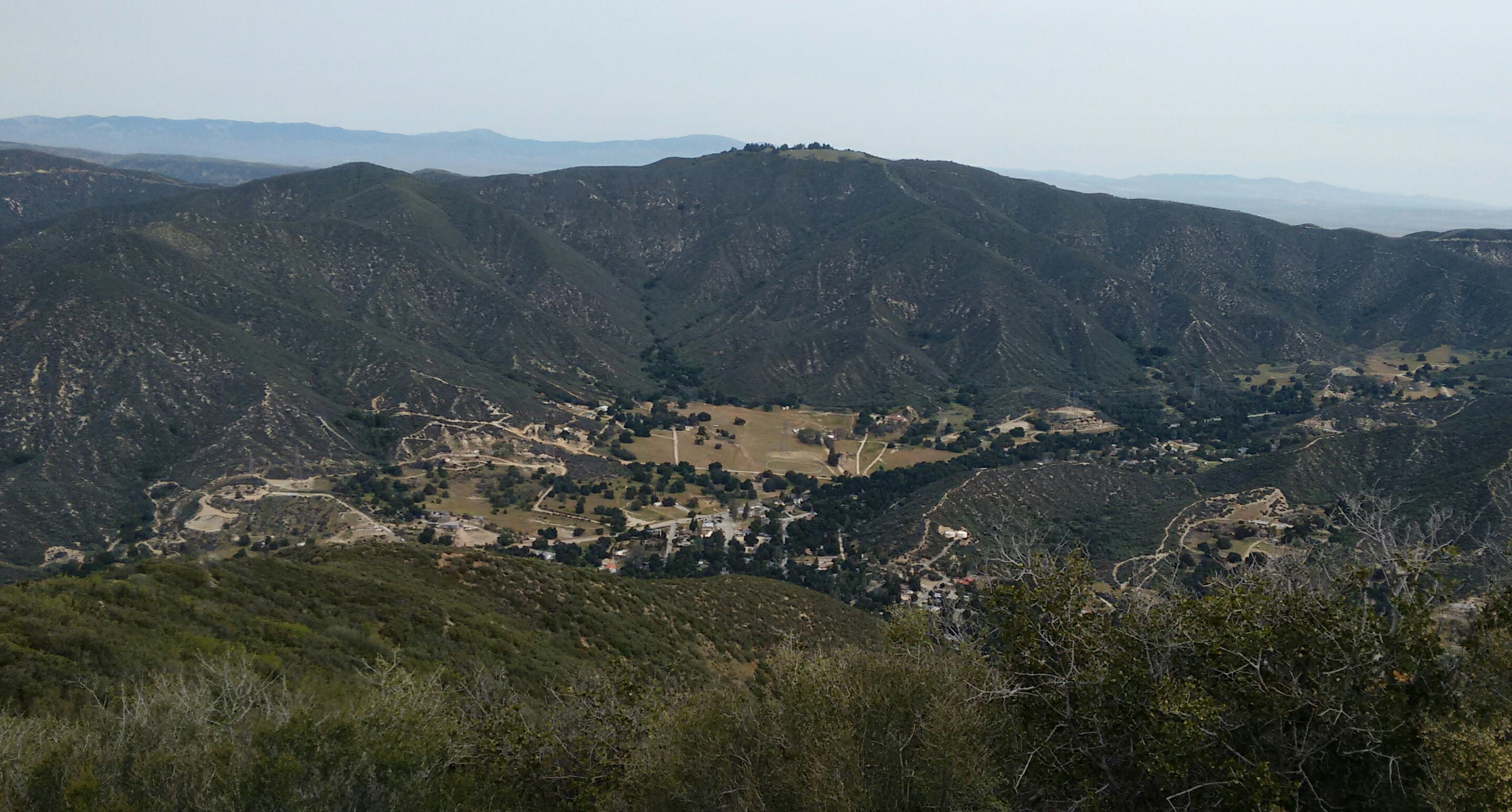
Juno offers a splendid view of Green Valley.
After taking in our fill of nature, we backtracked to the main trail and enjoyed the contouring singletrack back to the car. Some small flowers were blooming, but I didn't think to get any pics of them. Because, you know, my brain was solid ice.
Total miles: 4
Gain: 1400'