

After completing my 3rd Skyline on Saturday, Tinaballina and I headed down to Patti's house for DELISH lasagna dinner and a rather short night of rest before heading down the S-22 to the TH for Villager and Rabbit Peaks.
The participants of this hike were:
Norma, Tina, Robin, Steve, Patti, and Me.
We made our way through the darkness, across the sandy flats before crossing the drainage and heading up the foot of the ridge that makes its way up to the two peaks. In the dark it can be a bit confusing trying to find the start of the switchbacks. Luckily, Steve and Tina had done the hike before and pointed the rest of us in the right direction.
The initial section switchbacks for a few hundred feet before becoming a series of rolling hills that rise steadily until arriving at Villager Peak. The trail stays almost directly on the spine of the ridge and at one point hugs a very steep cliff-side with visible signs of erosion. We snacked atop Villager and cached our extra water before beginning our trek across to Rabbit Peak.
Directly after Villager the trail drops down and follows the continuous ridge towards Rabbit. There were about 5 "humps" between the two peaks.
*Word to the wise, pace yourself and keep in mind you're going to have to make the elevation again on the return trip. *
The steepest portion is right before the summit. The summit itself is nothing too special. I was disappointed that there weren't any good views of the Salton Sea, being obstructed by trees and the dome shape of summit. We ran into another group of hikers at the top of Rabbit.
The descent went smoothly, everything started to blur, all the cactus, sand and rocks begins to look the same after a while. We reached the bottom of the wash right as the sun set and were back at the cars in no time. Good times.
Villager and Rabbit Peaks


Hard core.
Attempted twice, defeated twice.
Must try it again someday.
Attempted twice, defeated twice.
Must try it again someday.
Nunc est bibendum
Great tr, Zach! I'm not familiar with Rabbit and Villager peaks. Are those in Anzo Borego? What are the distance/elevation specs on that hike, if I can ask?
Great pics... I'm feeling the urge to check that one out, esp with this colder weather...
Great pics... I'm feeling the urge to check that one out, esp with this colder weather...
I believe it is 7 or 8 to get to Villager and 11 to Rabbit with the total round trip distance being about 21 miles. If my memory serves me correctly I believe the total elevation gained is 7800ft. It's nearby the Anza Borego Desert but not inside it.
Zach, you are pretty spot-on with the stats. That was one beast of a hike and everyone except Steve was complaining of pain on the way down. But we did it! We beat that Swilly Wabbitt! Great views, beautiful desert terrain and a heck of a long hike to do when most of us had already down a good sized hike the day before or in my case 3-days before.
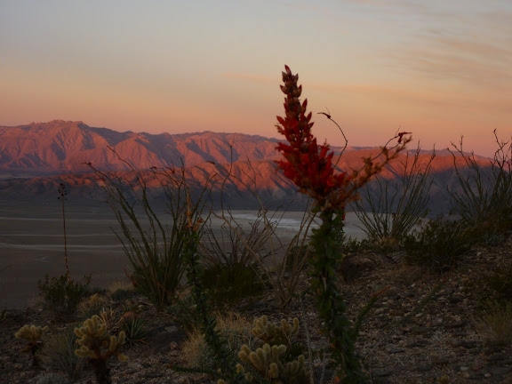
Ocotillo bloom in the morning alpenglow
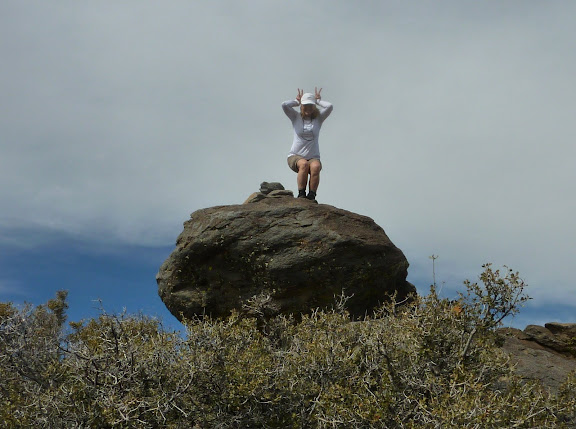
Tina trying to destroy the competition
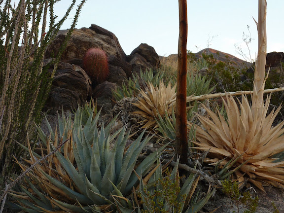
Desertscaping
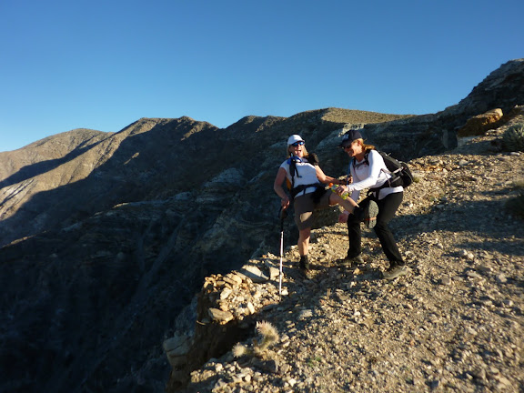
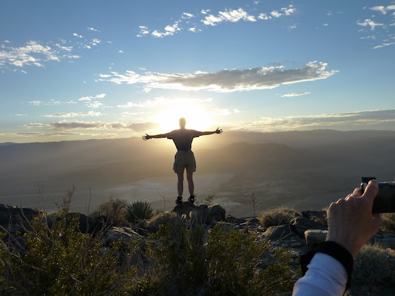
Robin, Tina and Zach on Villager summit. it's only been 4 hours and we're still feeling frisky.
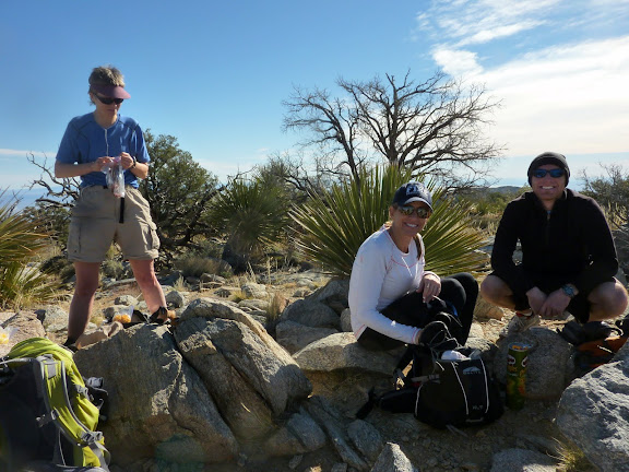
Steve taking a hydration break courtesy of Patti
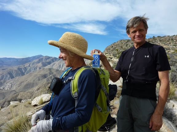
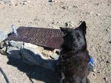
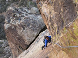
Wabbitt on Rabbit
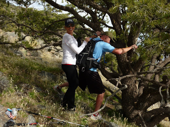
Get a room!
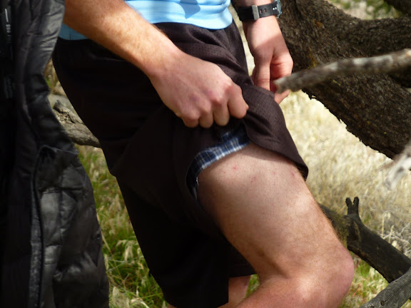
Chafing, one of the miscellaneous complaints today
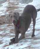
Robin thankful the hike is almost over
rest of my pix are here:
https://picasaweb.google.com/ryan.norma ... verse21311#
Ocotillo bloom in the morning alpenglow
Tina trying to destroy the competition
Desertscaping
Robin, Tina and Zach on Villager summit. it's only been 4 hours and we're still feeling frisky.
Steve taking a hydration break courtesy of Patti
Wabbitt on Rabbit
Get a room!
Chafing, one of the miscellaneous complaints today
Robin thankful the hike is almost over
rest of my pix are here:
https://picasaweb.google.com/ryan.norma ... verse21311#


I'm pretty sure that refers to the "voluntary Bighorn Sheep closure" and applies more to the route from the Salton Sea. I think the most popular way to do it is the way Zach & Co. did, starting at S22 and tagging Villager along the way. Not particularly difficult (all class 1), but loonngg and dry. And then there's avoiding the Jumping Cholla, which may be the actual crux of the trip (at least it was for me).
Good job you guys!
Amazing,
I was looking though my hiking book this morning thinking to myself, I need to do this hike! More so, I need to do this hike and scout the Rattlesnake Canyon that is just to the East of the hiking trail.
Sounds like a long day even without the inclusion of scouting. Hmmmm, at least now I have a reference. Thanks for posting the TR!