Magic Mountain and Garfield Benchmark

TRs for the San Gabriel Mountains.
Post Reply
User avatar
tekewin
Posts: 1194
Joined: Thu Apr 11, 2013 5:07 pm

Post by tekewin »

I had a day open up unexpectedly, so decided to head to Magic Mountain (4864'). I made a bike attempt from the east last year, but a key gate was closed and I didn't have time to complete the longer distance. his time, I started from Bear Divide and a western approach. I parked just before Bear Divide where the Santa Clara Truck Trail (forest route 3N17) crosses Sand Canyon. This was a road hike all the way. Would have been faster on a bike, but I would have had a push quite a bit of uphill.

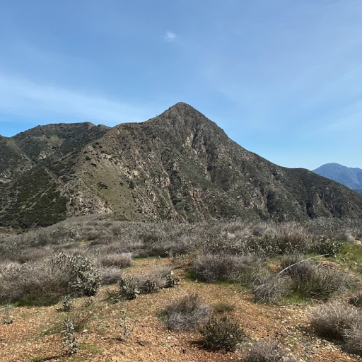
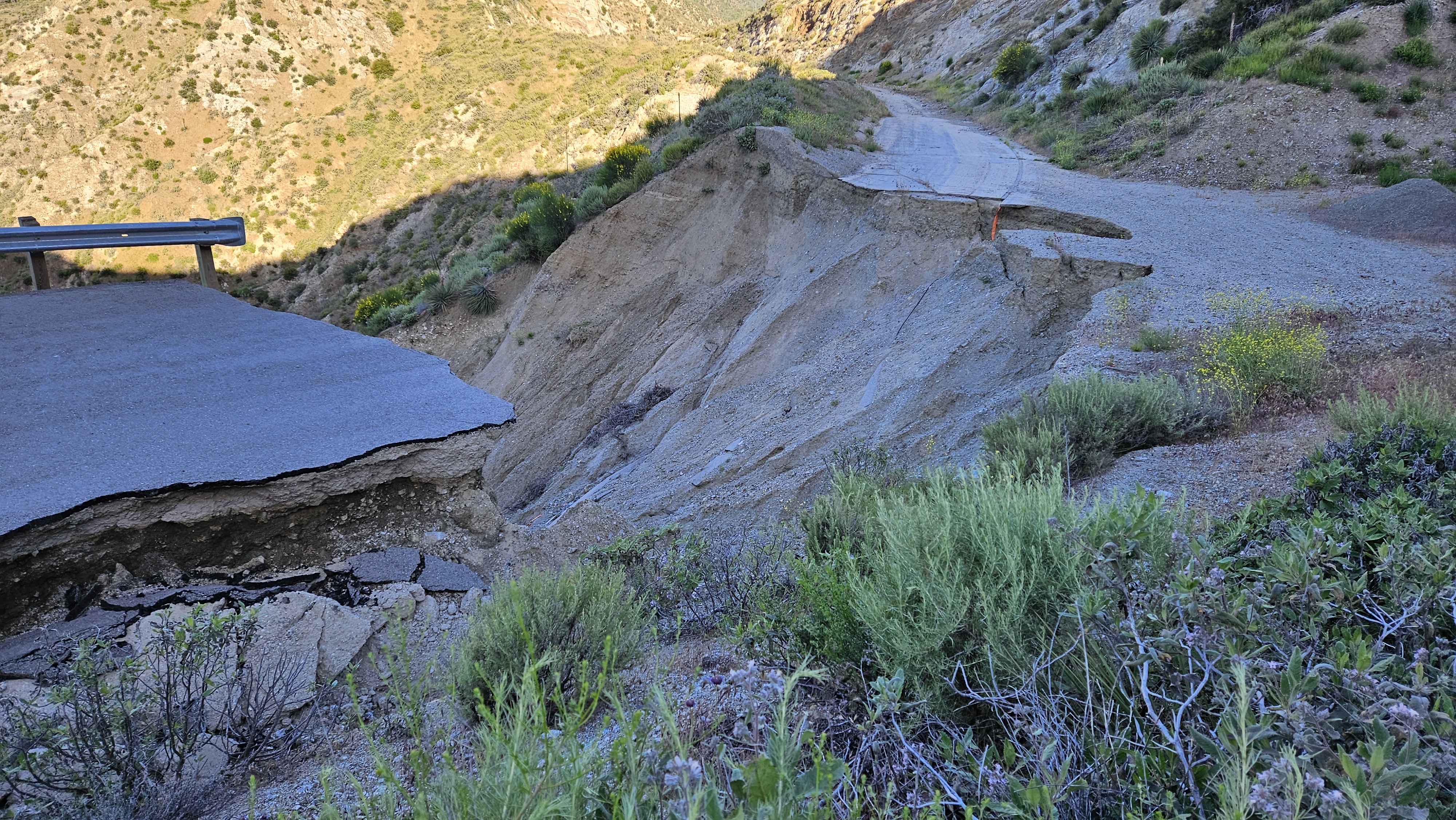
After a half mile, I came to a huge washout. I had seen photos of the washout, but it was from years ago and I didn't know if the road had been repaired. Turns out no. Other than rockfall scattered across the road in places, this was the only major damage to the road. Mendenhall Peak and the Pinnacle were in constant view on a parallel ridge. The road went about 0.4 miles past the summit where it intersected the Magic Mountain Truck Trail. From there, it was less than a half mile to the top.

Image

Image

Image

Image
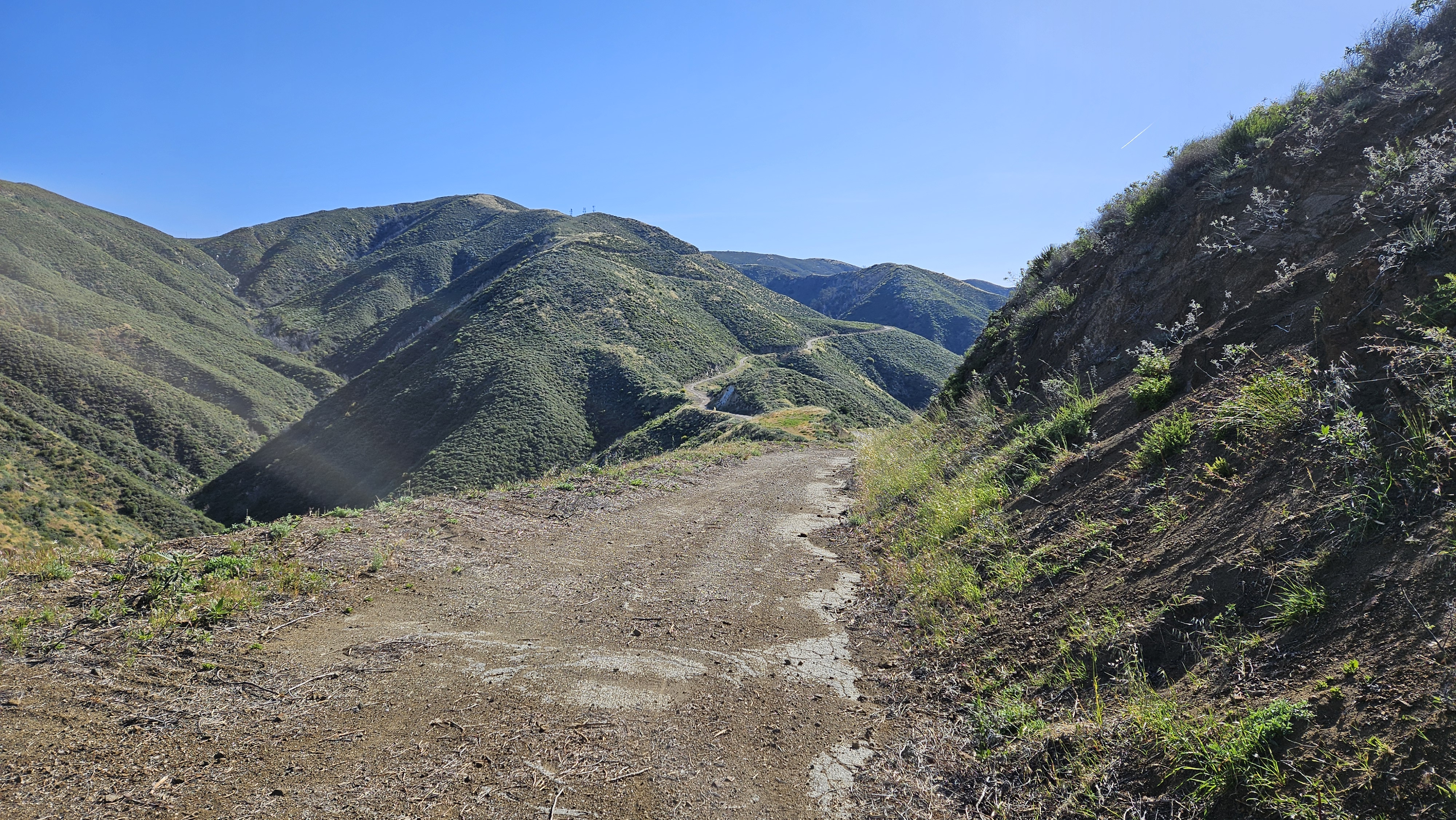
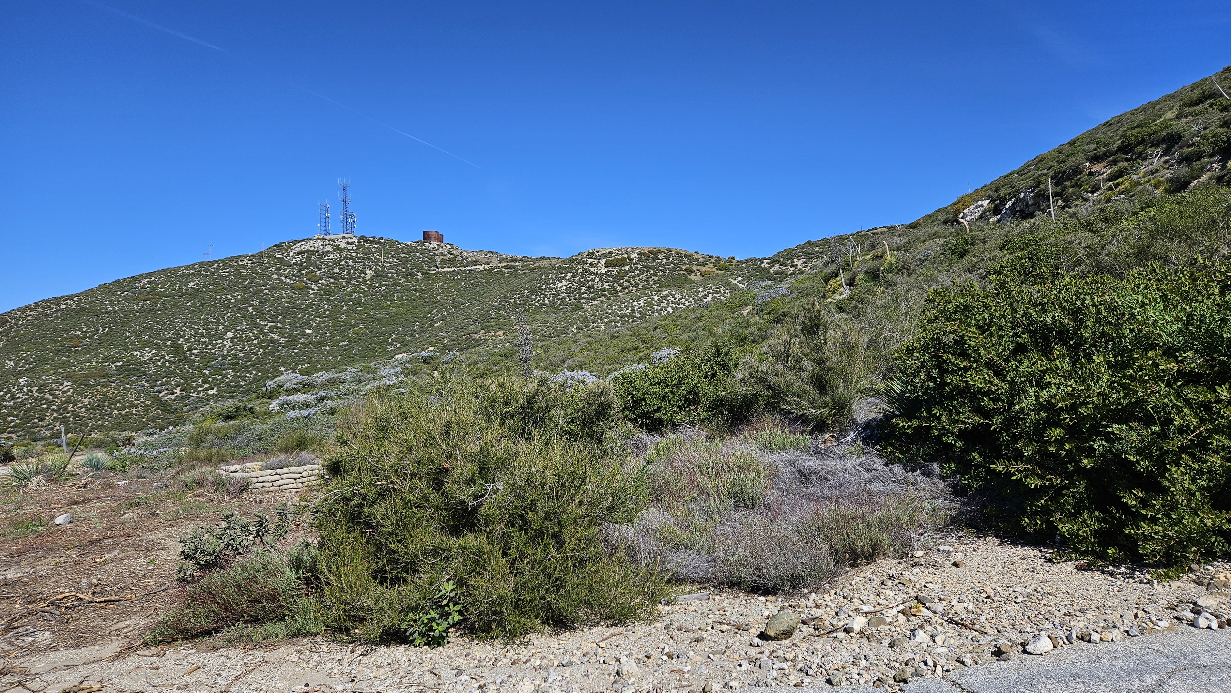
Magic Mountain from the MM Truck Trail junction

Image
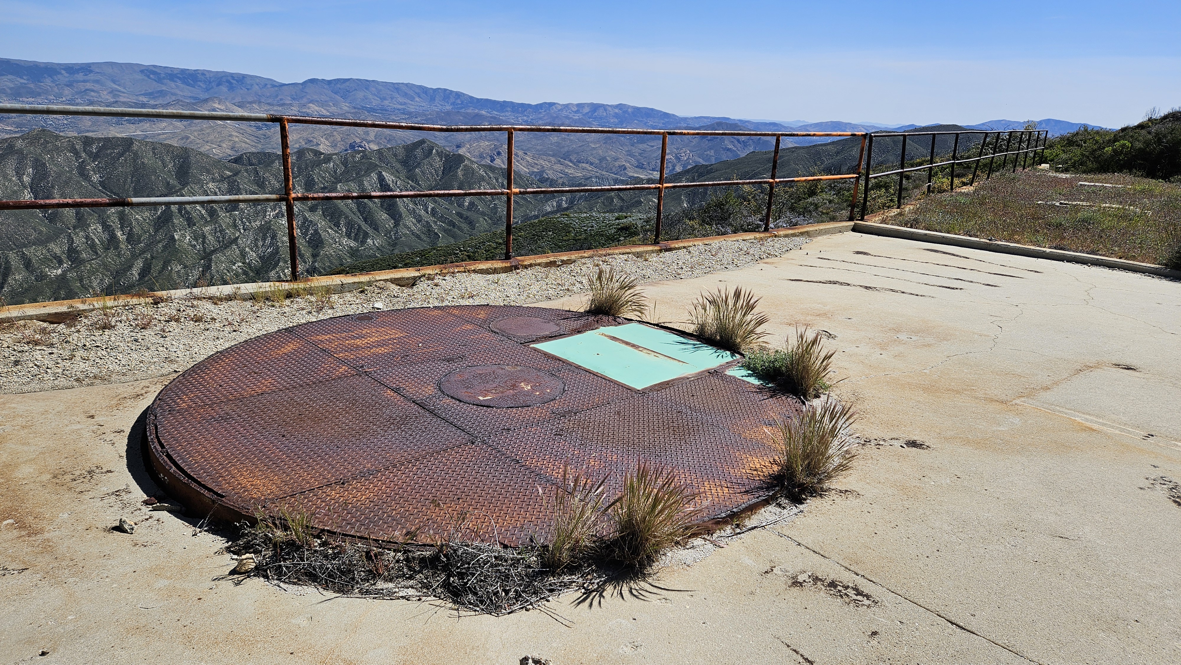
One of two Nike silos

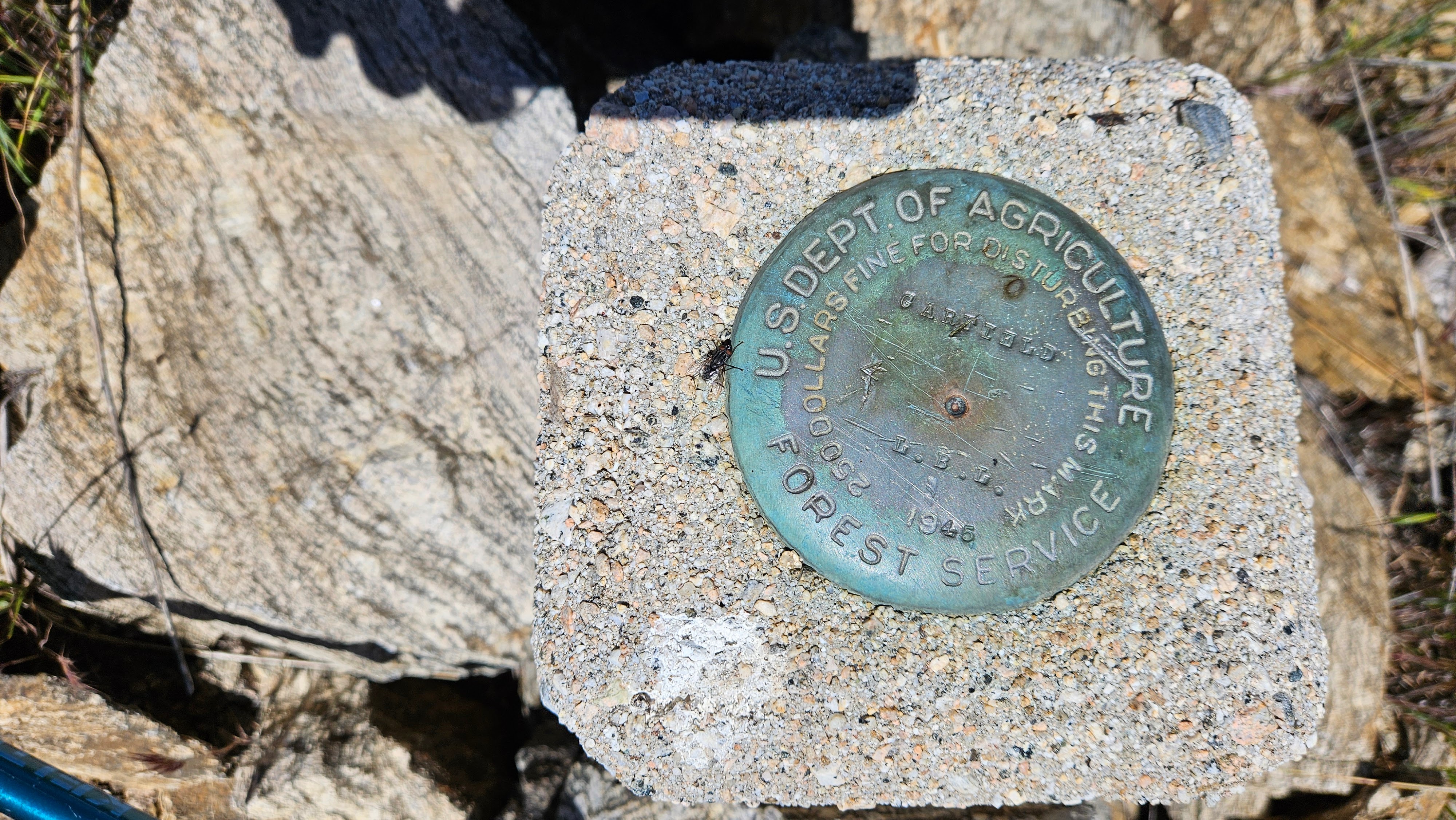
There were also two water towers and three radio towers. The summit was fenced. I walked along the perimeter of the fence and stumbled on an LA County Engineering benchmark on the west side, just outside the fence. It was named "Little Tujunga" and placed in 1964. If there was a USGS mark, I didn't find it, or maybe it was inside the fence. Didn't find a register. After hanging around on top a while, I headed back. When I got the junction with the Dagger Flat Trail, it looked a little overgrown. I decided to continue up the road a bit. I spotted a better section of the Dagger Flat Trail and left the road to grab it. From there, it was about 0.3 miles to Garfield. I left the trail to climb the ridge to Garfield, stepping slowly through waist high grass and soft plants. I kept stabbing where I could not see the ground with my pole to check for snakes. No surprises. Garfield had an intact benchmark in a small cinder block. No register. Garfield rose about 150' above the road. Next, I decided to descend the west ridge instead of going back. I was going to have to wade through tall grass and minor bushwhacking either way. There was enough of an animal trail on the west side that I got down without much fuss. The diversion probably cost about 30 minutes. I was amazed to have waded through so much grass with no ticks.
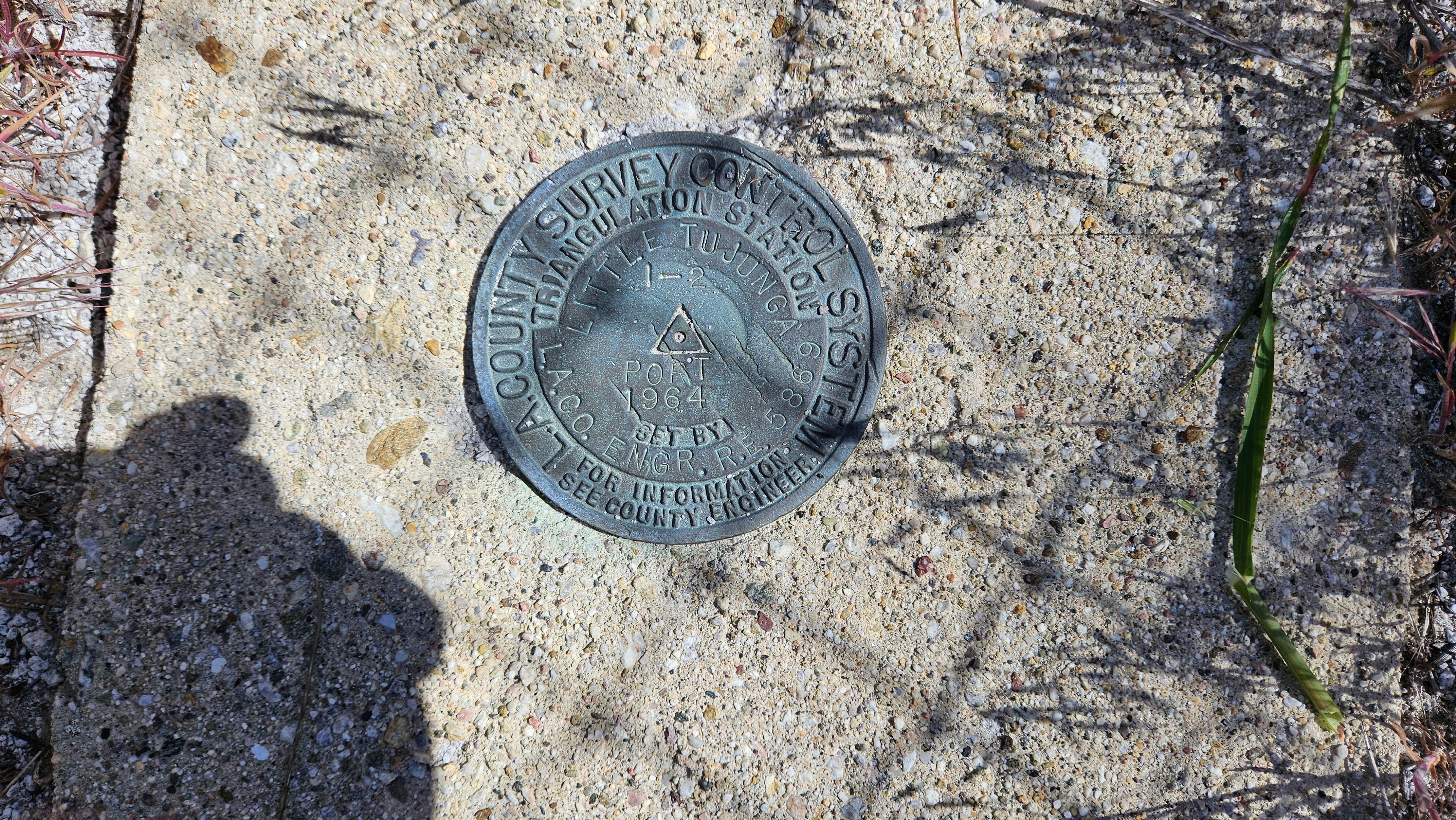
Image
LA Engr Benchmark

Image

Image

Image
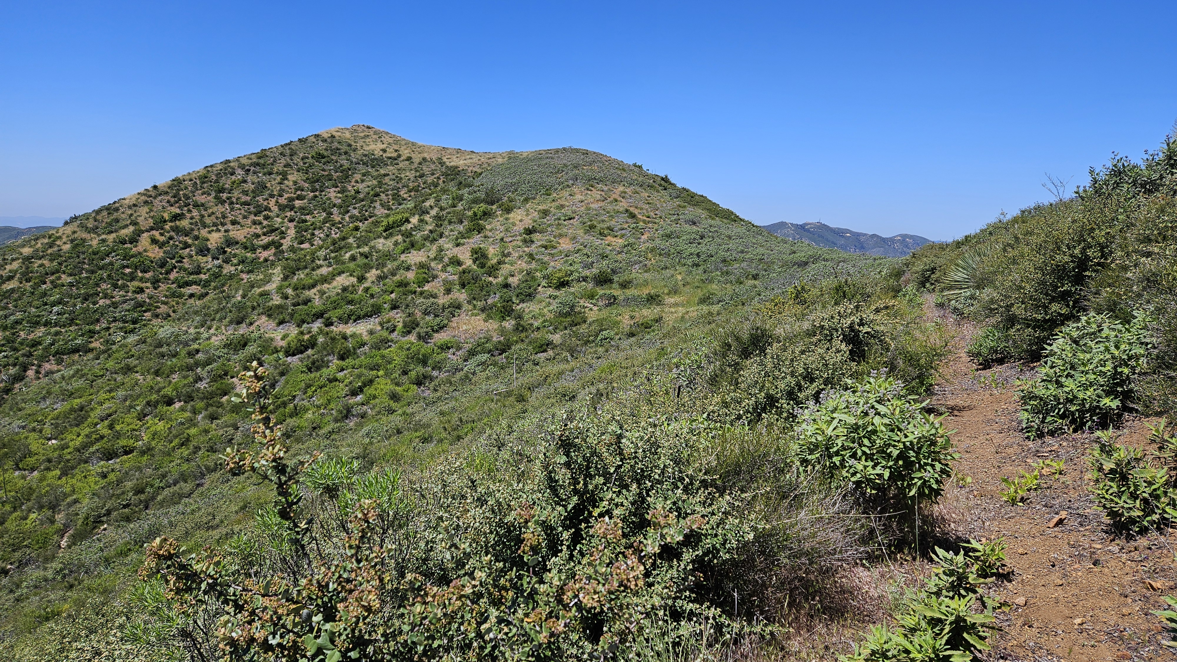
Approaching Garfield

Image

Image
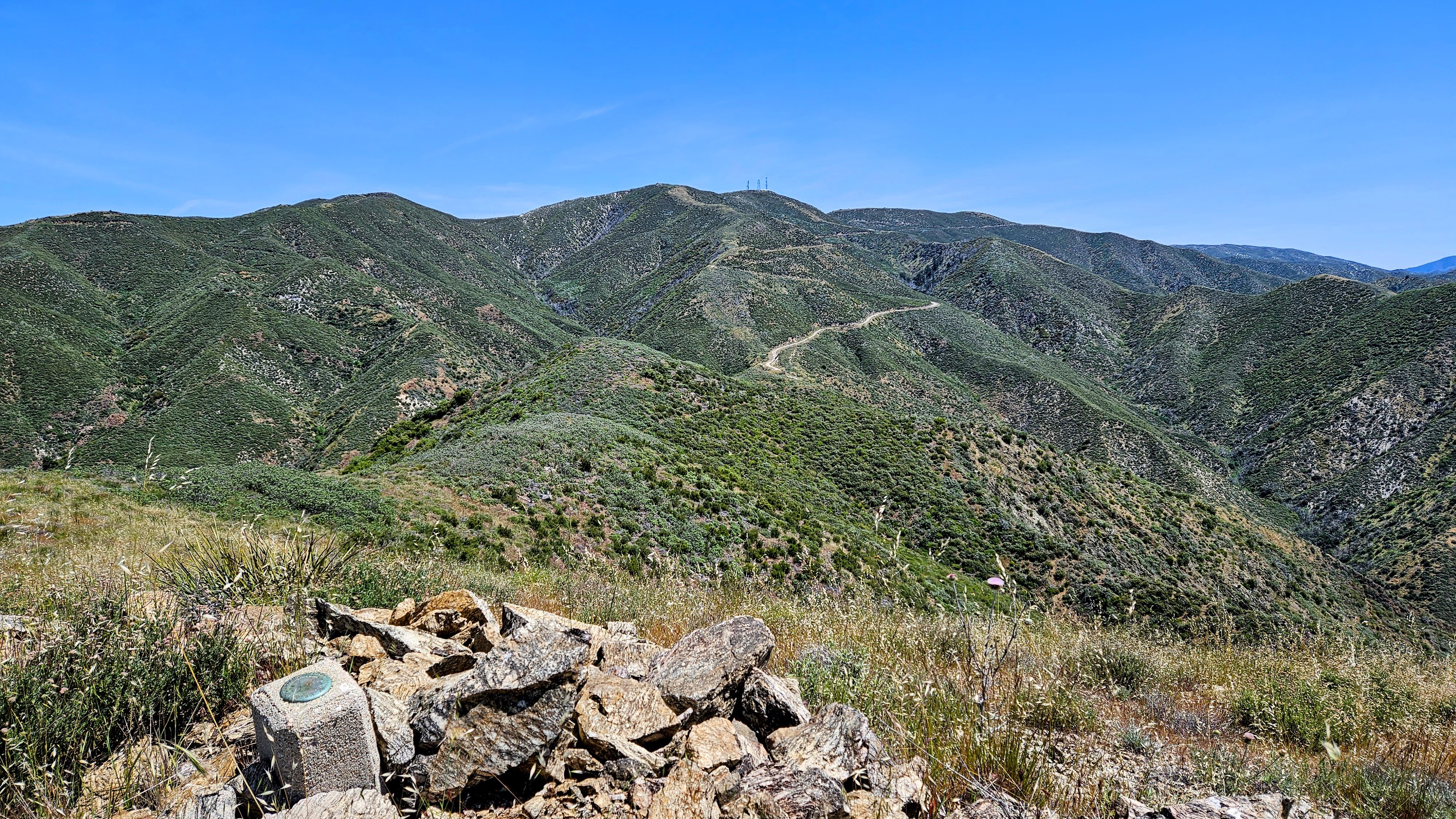
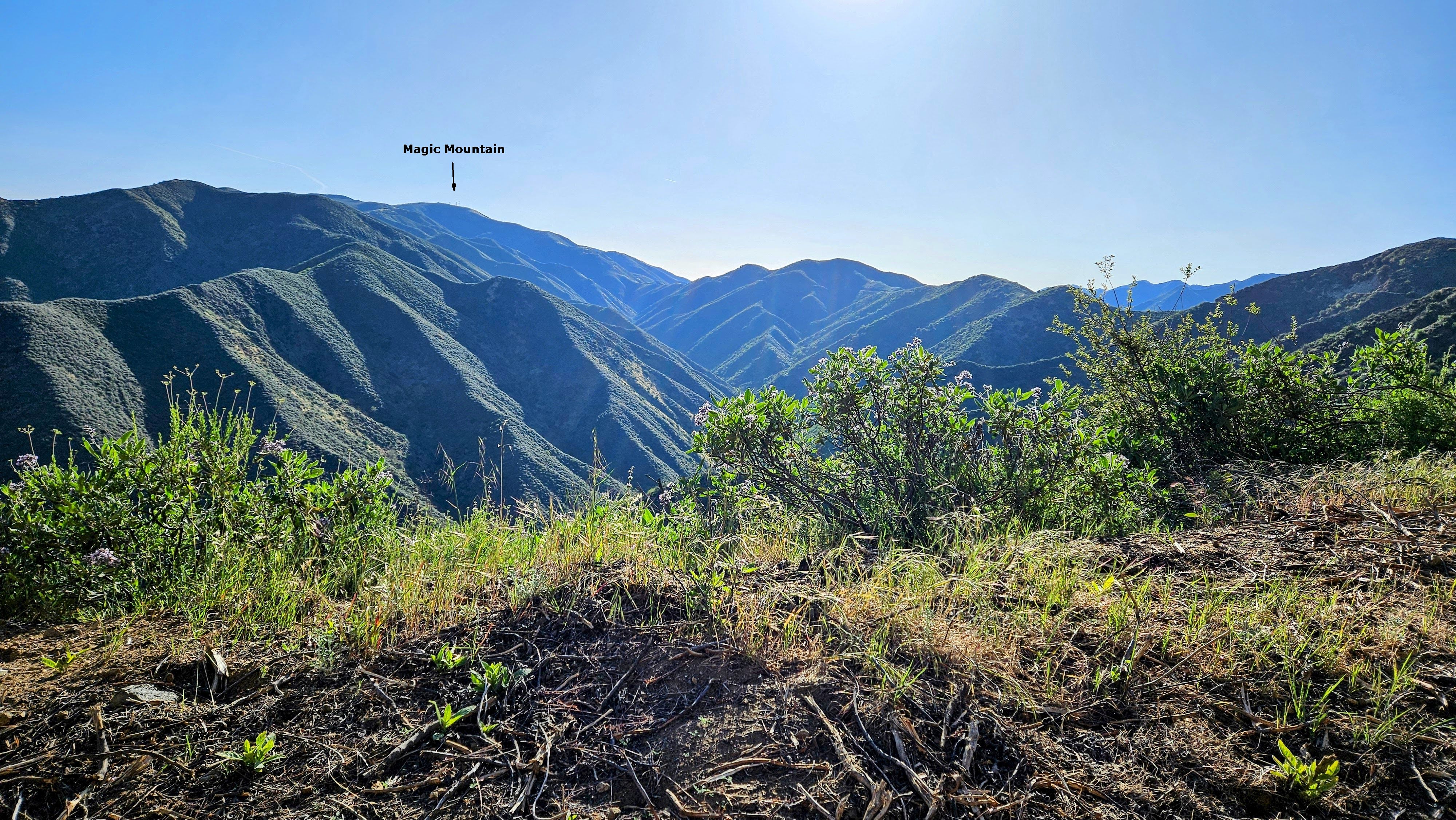
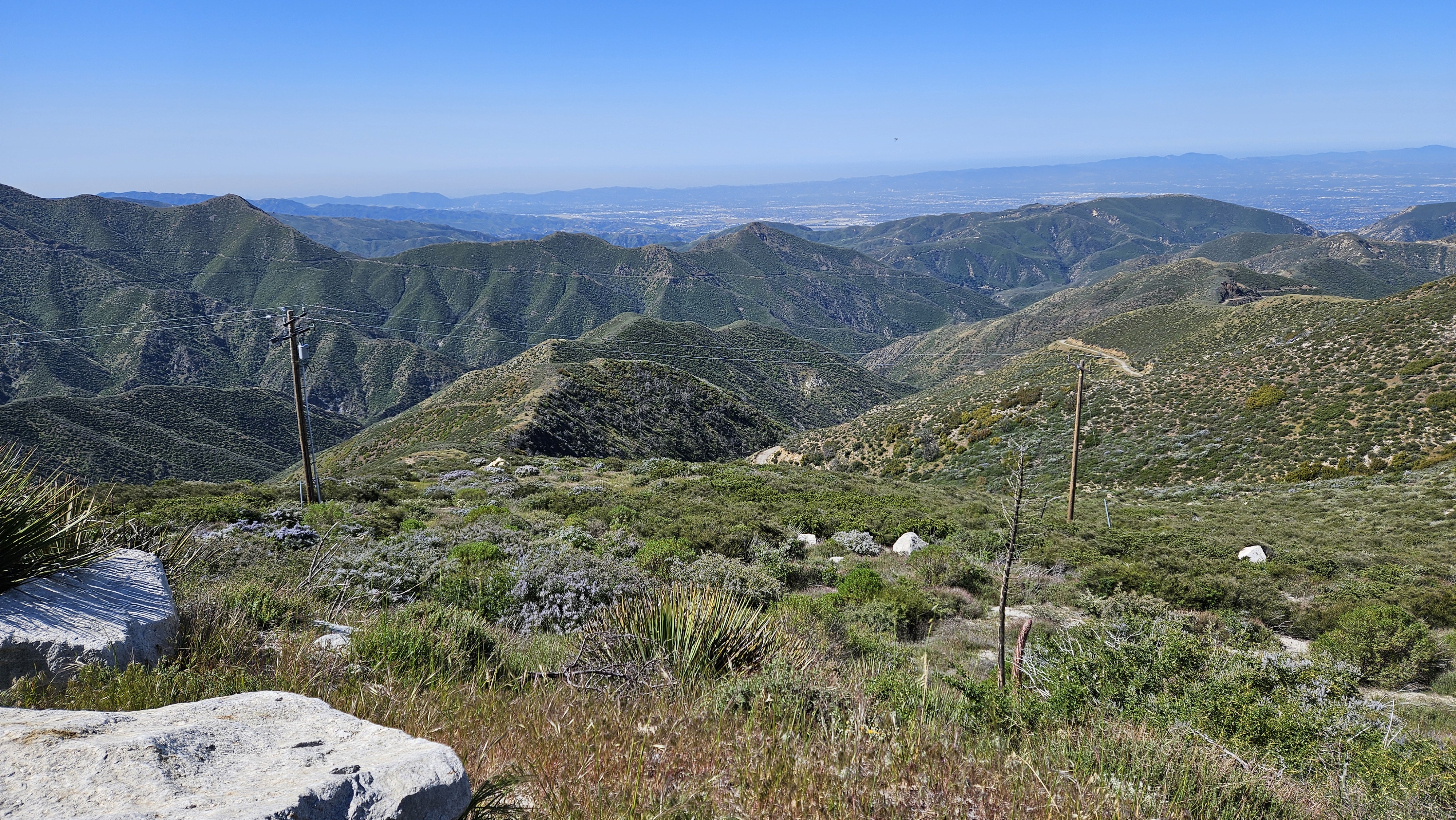
Looking back at Magic from Garfield

Image
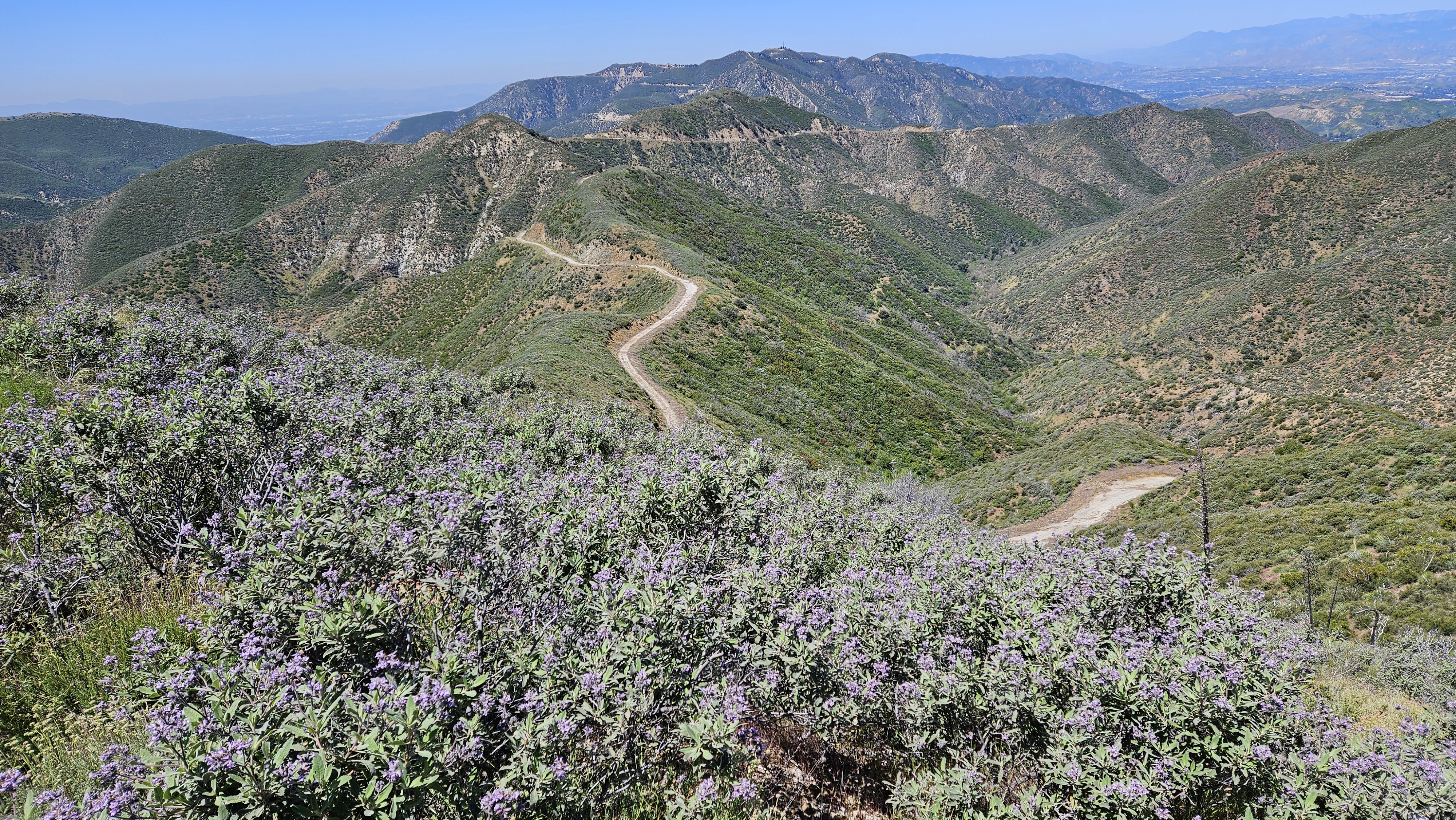
Descending the west ridge
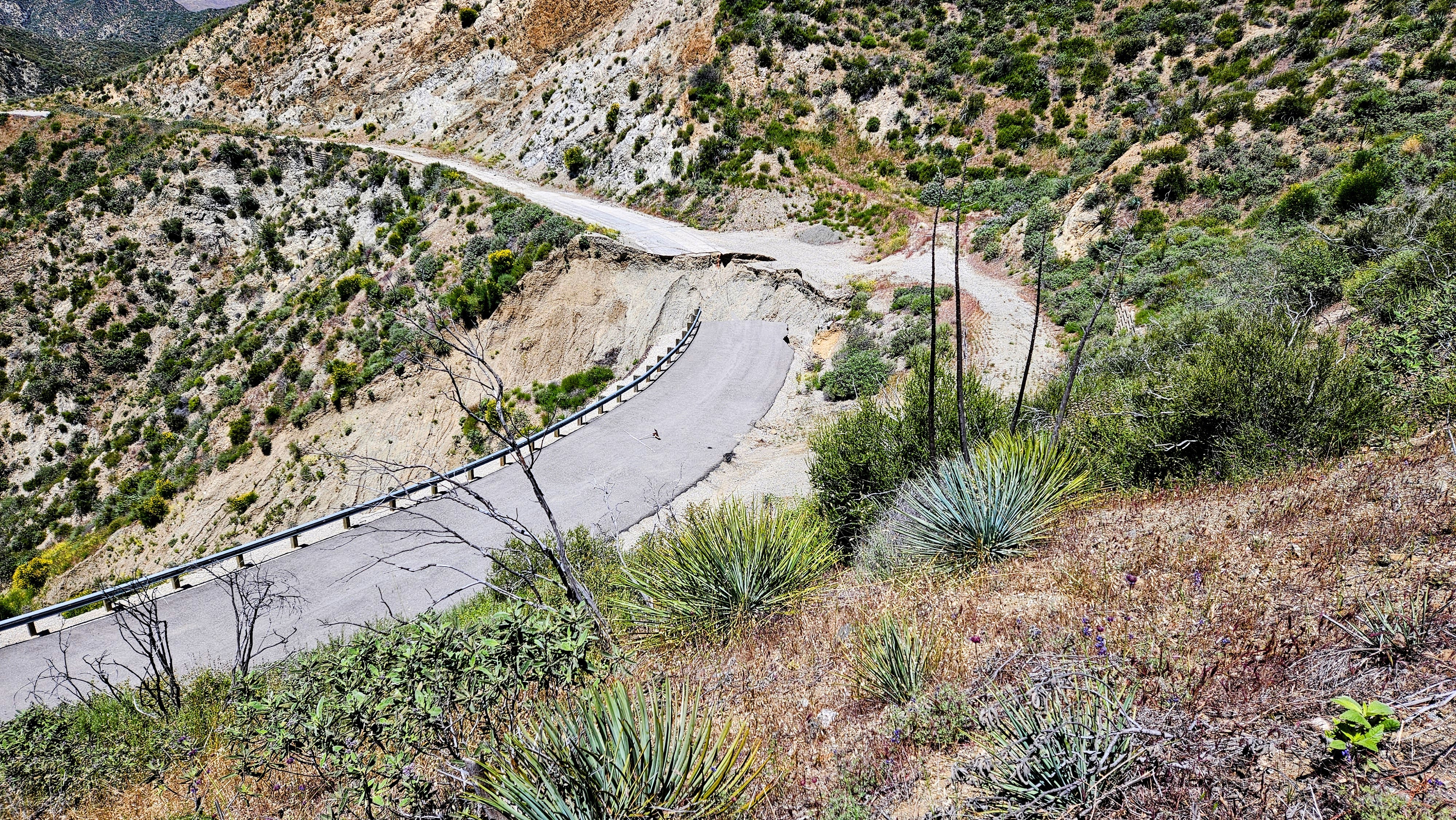
Image
Washout from above

Image
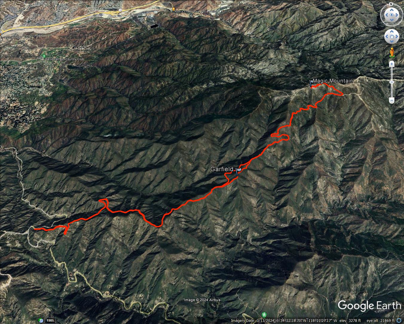
14.2 miles, 2700' gain
carl swindle
Posts: 36
Joined: Wed Jan 31, 2024 8:52 pm

Post by carl swindle »

tekewin wrote: Fri May 10, 2024 6:59 pm
Washout from above
Looks Great! I haven't been up there in a while. I think I remember before and after that washout, unless it's a newer wash out (in the last ~2-3 years). I recall seeing some construction being done so perhaps that washout is more recent unless they didn't finish. Was it about a mile or so up the road?
User avatar
tekewin
Posts: 1194
Joined: Thu Apr 11, 2013 5:07 pm

Post by tekewin »

About a half mile past the gate. It looks like photos I saw from reports 4-5 years ago.
User avatar
Tom Kenney
Posts: 362
Joined: Sat Sep 29, 2007 7:51 pm

Post by Tom Kenney »

Yeah, I thought that, too, when I saw the pic. It's the same spot. They spent a lot, did a lot of work, and it's broken again. Last time it was so bad, the only feasible bypass was to hoof it directly up-slope and meet the road above.
User avatar
Elwood
Posts: 612
Joined: Fri Aug 15, 2008 5:23 pm

Post by Elwood »

FYI, those are not Nike silos on Magic Mountain. The mountain site was an IFC (Integrated Fire Control) for the LA-98 battery. The underground magazines and (Lang) launch facility was located just to the north, south of Lang Station Road. Nikes didn’t launch from silos.
User avatar
tekewin
Posts: 1194
Joined: Thu Apr 11, 2013 5:07 pm

Post by tekewin »

Elwood wrote: Sat May 11, 2024 11:22 pm FYI, those are not Nike silos on Magic Mountain. The mountain site was an IFC (Integrated Fire Control) for the LA-98 battery. The underground magazines and (Lang) launch facility was located just to the north, south of Lang Station Road. Nikes didn’t launch from silos.
Robert Black left a similar comment on my blog:

It's true that the peak was originally part of a Nike missile battery, but then it was converted into a test facility for the Apollo lunar module's maneuvering thrusters. The thrusters would be mounted over the holes, and water would come down from the tanks and out onto the mountainside to keep it from catching fire. Nike missile pads are cool, but the lunar module is cooler.
User avatar
tekewin
Posts: 1194
Joined: Thu Apr 11, 2013 5:07 pm

Post by tekewin »

Tom Kenney wrote: Sat May 11, 2024 8:16 pm Yeah, I thought that, too, when I saw the pic. It's the same spot. They spent a lot, did a lot of work, and it's broken again. Last time it was so bad, the only feasible bypass was to hoof it directly up-slope and meet the road above.
Wow, no wonder they stopped trying to fix it. I didn't have to go up to the road, plenty of room to walk/bike around. I wouldn't trust a vehicle to drive around it.
User avatar
Sean
Posts: 3748
Joined: Wed Jul 27, 2011 12:32 pm

Post by Sean »

Thanks for the report! This has been on my bucket list for ages. How much of the road was paved?
User avatar
tekewin
Posts: 1194
Joined: Thu Apr 11, 2013 5:07 pm

Post by tekewin »

Sean wrote: Sun May 12, 2024 9:34 am Thanks for the report! This has been on my bucket list for ages. How much of the road was paved?
It was paved all the way to the top, though there were a couple of short sections degraded to mixed pavement/dirt.
User avatar
Nate U
Posts: 227
Joined: Wed Apr 05, 2023 7:38 pm

Post by Nate U »

Fascinating about the lunar module, I didn't know about that.

So I was on the Santa Clara Divide road in December of 2021 bagging 3657, and the road was freshly (and expensively) rebuilt through that area. Honestly not sure why that much money was spent on repairing it, unless of course magic mountain is STILL used for some SUPER top secret government project.

Then I returned again in February of 2023 to bag 3270, and this is what I almost walked off the edge of in that very same spot that was freshly rebuilt:
IMG_2503.jpg


And now it looks like it has become much worse since then!!! Gotta love the Gabes....humans keep lining 'em up, and the Gabes keep knockin' em down.
Post Reply