We're going into the Los Padres NF, a bit E of Lake Piru. Crosby studied the aerials, found what looked to be remnants of some old roads, and made a route that followed these as close as we could get. Then we'd figure out something right at the end. Worked great.
We drove the main road to Lake Piru from the South, paid our $14, and took the road as far N as we could. The lake is full, which is amazing to see. The road starts well-maintained, then becomes badly maintained, and then is gated off just before the Pothole trailhead. The United Water Conservation District (which owns the lake and everything immediately adjacent to it) built a very nice trailhead area, where we parked:


The trailhead itself is further up the closed road a bit. The trail is on LPNF land, and doesn't look nearly as nice as the parking lot:

We took the bad paved road almost all the way N, turning E just past the end of the reservoir to cross the river:

At this point it's pretty clearly abandoned, and no vehicles have been past here for a while. There's a mysterious concrete pillar on the other bank:

We tried to ride the road for a bit

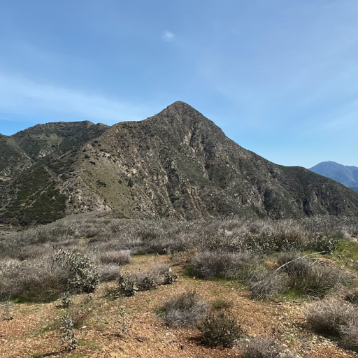
But it quickly became hopelessly overgrown. We stashed the bikes and continued on foot. Here's the stash, with Blue Point in the background:

Everything is very abandoned, but the old "No Tresspassing" signs are still here. We're on the road:

The road runs S a bit, and then turns E into Canton Canyon

We hiked that for a bit, and turned right into the side canyon where the route Crosby made went. We're supposed to switchback up this canyon to gain a ridge ~1000ft above, dropping down a bit on the other side. This is actually loosely marked on the USFS maps, as an unnamed road, and long ago this clearly WAS a road. It's all very overgrown now. The roadbed is still findable in many spots, and is still easier walking than just blazing your own trail. Lots of poison oak and washouts, but we made good progress. On the road:


There were a few spots where the aerials were indistinct, and where we needed to figure out our own route. So we ended up directly cutting some large switcbacks. And in one spot we spent at least 30min trying to figure out where the route went. Figured it out eventually.
Almost to the top of the ridge there was an old gate

And after some more work, we were on top, with a view to the other side. It's over there!

We then continued on the best-effort line to the parcel. Found a tresspasser:

And eventually crossed the property line to finally set foot on this piece of land! Crosby brought a pole to mark the territory.


There's absolutely nothing here, and it's not clear there was anything here ever. The wider area is all public land, except for some reason, this little spot has several smaller private parcels. You can see the ridge road we just crossed continue to the NE:

It's not actually a distinct road at all anymore. And you could see a good, maintained dirt road to the E, across Devil Canyon:

Time to go back. We took a slightly different line on the return. Went through some blooming mustard

and found an old barbed-wire fence

From the top, the whole day's work was visible: Lake Piru rd in the background, and Canton Canyon in the middle, and the side canyon we ascended in the foreground:

Back down in Canton Canyon, you could see some structures up river a bit:

This was very incongruous with the general abandonment of everything, so we took a detour to check it out. This looked like somebody lived here at some point (there's a big generator and a still-clean camper), but probably it has been abandoned recently (there's a shed with a fresh-looking lock on it). The vehicles are likely stuck here forever

Non-explosive trash only

We then hiked back, and found the most exciting wildlife of the day: some sort of water snake

When I got home I poked around the UCSB aerial imagery archive. Found this photo from 1978, showing the general area with lots of good, maintained roads:

I think the value of this property might have declined since 1978, but the local residents that are still here probably don't mind.