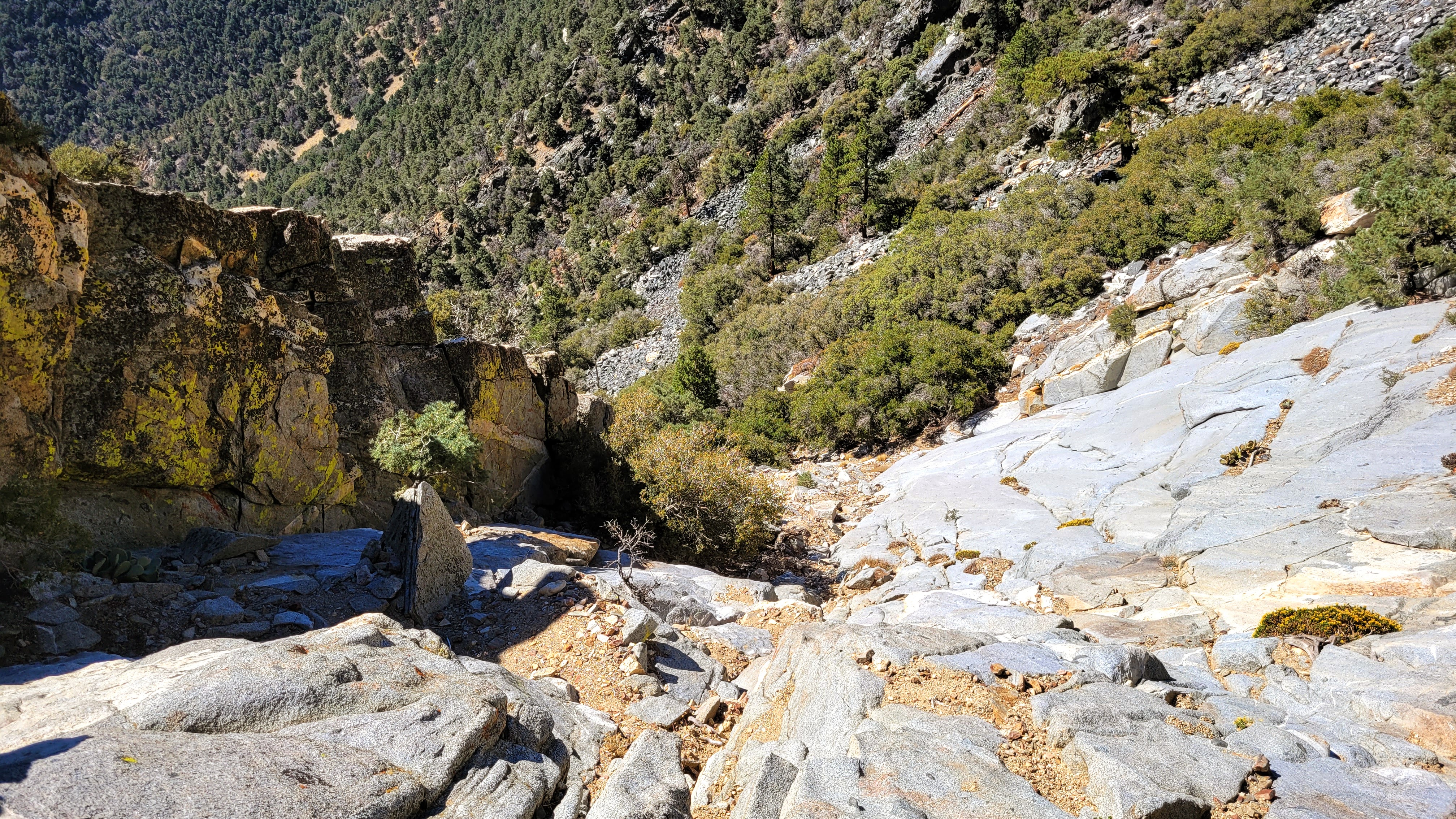
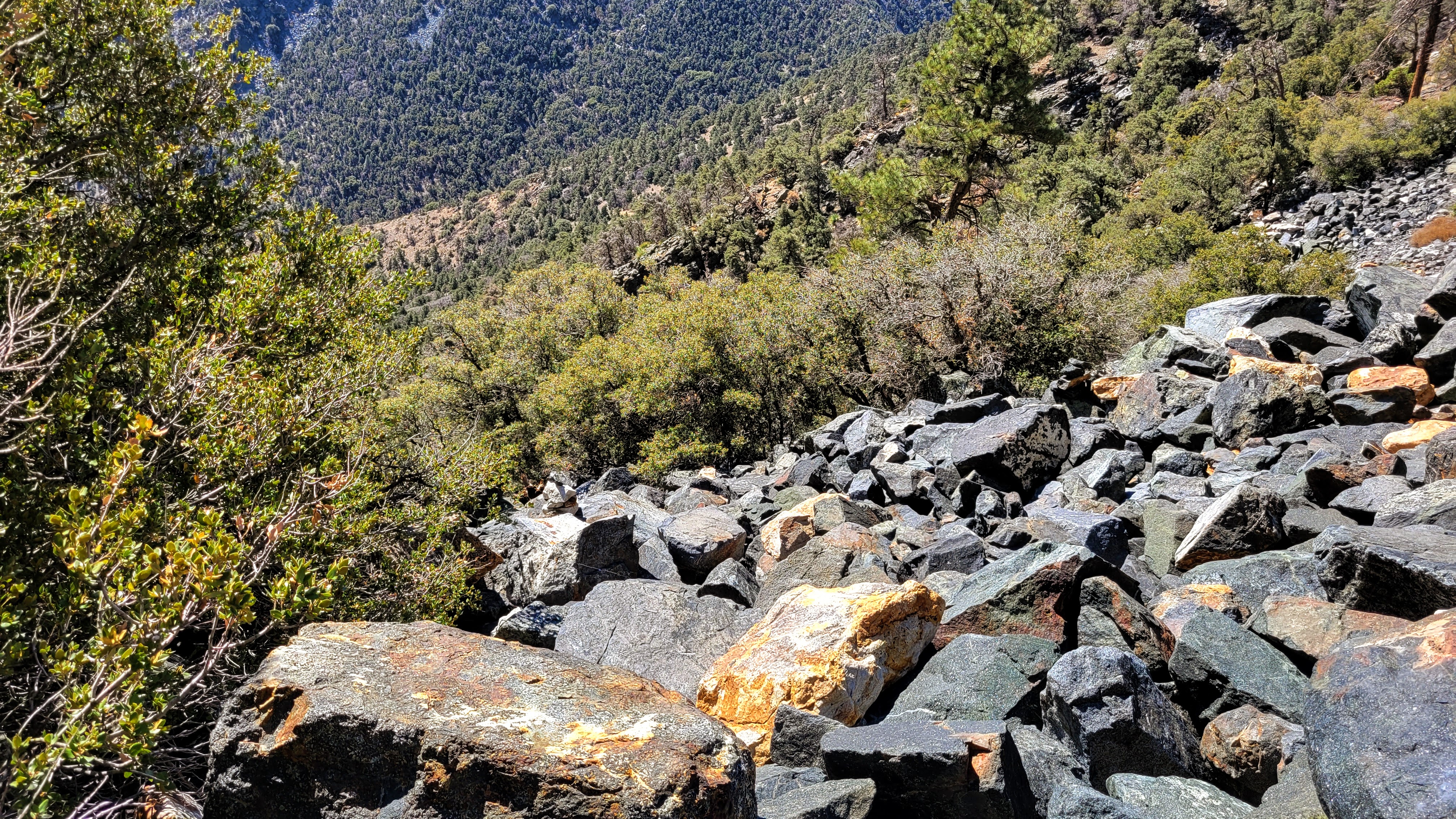
The trail follows Indian Wells Spring which was completely dry. Deadfall blocked parts of the trail, but use trails had been worn around them. With one mile to go, I thought I had overestimated the difficulty, but the last mile packed about 1800' of gain. Many cairns dotted the trail as it got steeper. I made a mistake at 7400' and missed where the trail stayed left. This led me up a white boulder talus field instead of the dark boulder talus field on the main trail. I did find footprints and occasional cairns off trail so it was a fairly common mistake. I found a way to make it go, at the price of some exposed class 3 and slab work. At 8000', I rejoined the trail. It remained steep and slippery the rest of the way.
![Image](https://eispiraten.com/images-archived/blogger.googleusercontent.com/img/b/R29vZ2xl/AVvXsEguxOVBVlqGWSOcAU2QvU9n9j9EOUWoQ6_yuna-2z8xNPbWBG1t4tszP79pSVypmV9BUrZP8eWYt3E5YoAVN_-CEnT-nxmv9jAmq-wqav9mV_WKbPeGrU22LBxYvuLQtGiS13pKwDrz7RXtJtKbDRznP0bDoTTA8HCTCAaSJrAlntNZ61pdUXG-9Z8/s4032/20221007_065323.jpg)
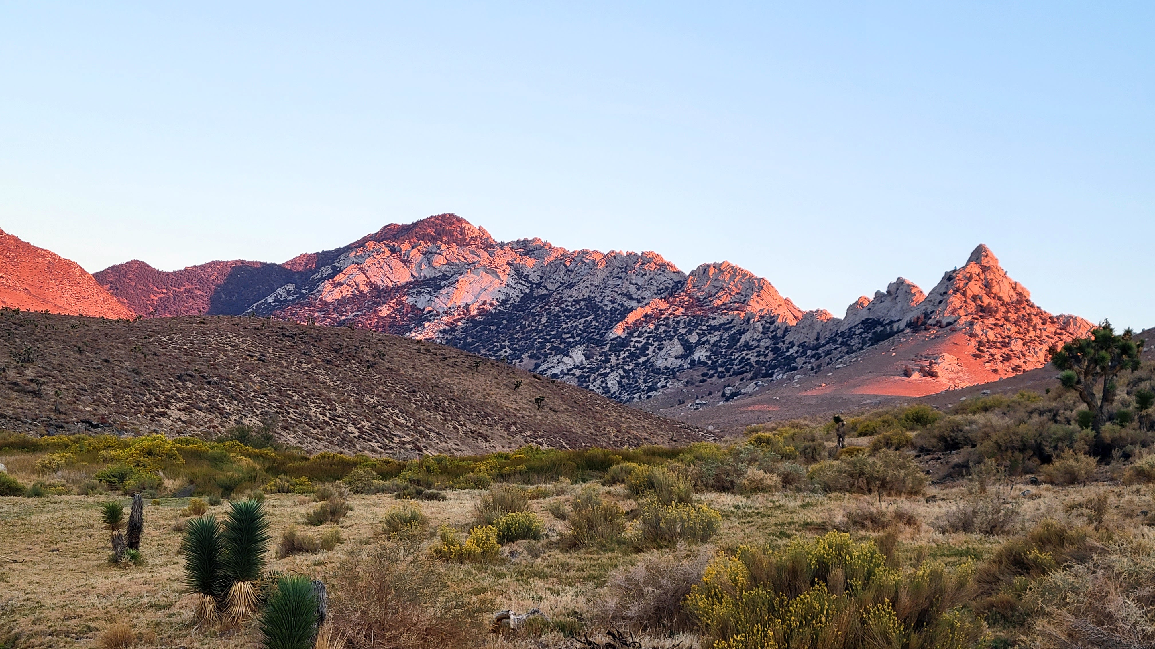
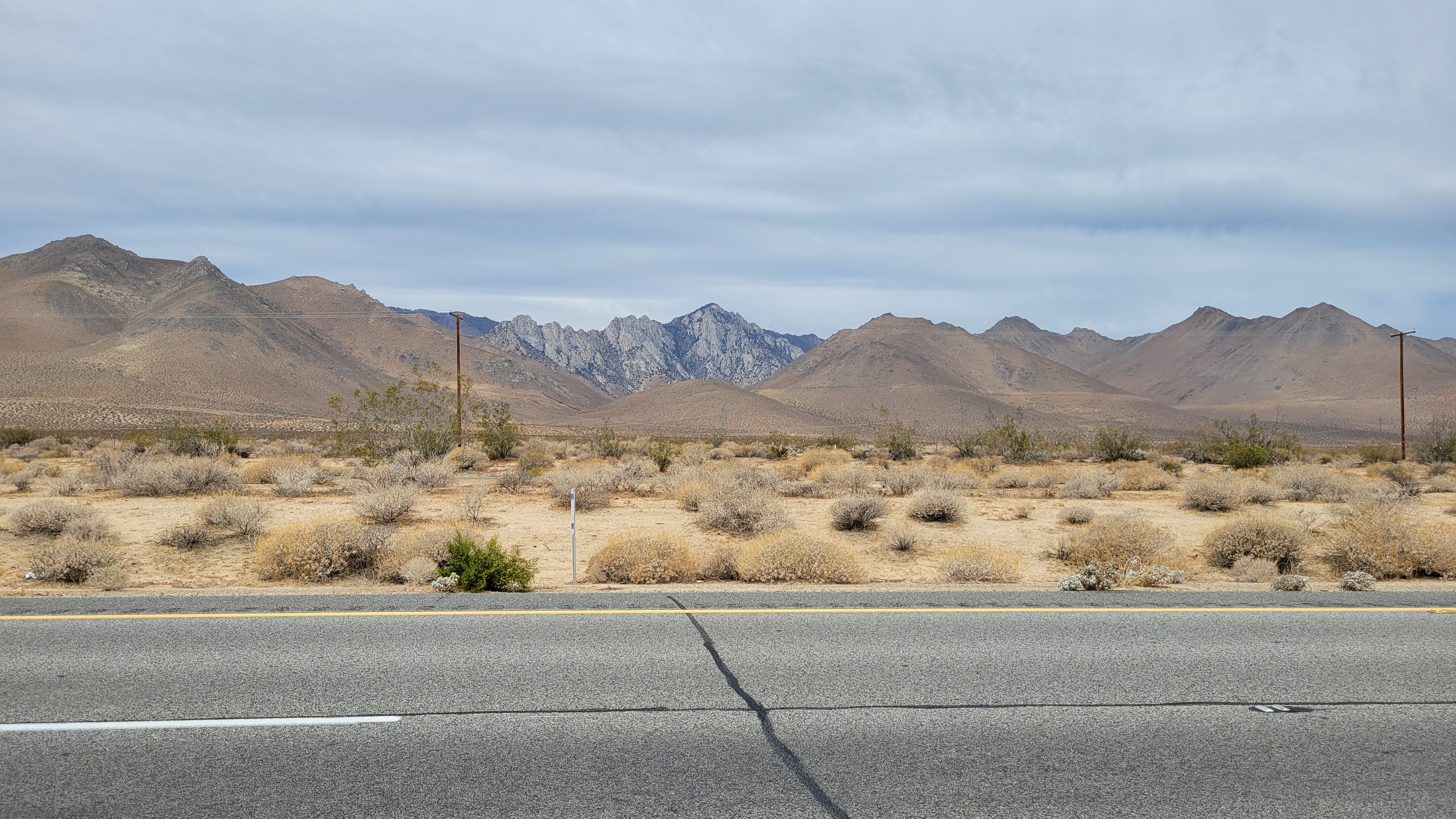
Owens on the drive in
![Image](https://eispiraten.com/images-archived/blogger.googleusercontent.com/img/b/R29vZ2xl/AVvXsEg6EO3wSPnHvWlE-_T1voeEQugo0qUdReH-Wu80UQcwNw7KUXTE3j9LkkGZVXzrjS82YZw9MU33N3lkxPNA5cgTun3q5wF7N3wVPEup5gdlqdGl9QNkxZg6ZubbX1xz8nF8elR_XgYOs_qP-Y-7sGBxiGpM14aXUEuS18XZUNXVyGvxe_HstXCxShQ/s4032/20221007_072110.jpg)
![Image](https://eispiraten.com/images-archived/blogger.googleusercontent.com/img/b/R29vZ2xl/AVvXsEioU4Ez_6aoDIE9ZxGIEE1HdHqqP4qC3qHUHbKusV2BFnYdQJRUIhrmrMHcGgcmyaHkHmj2cMGhuMU0Vaa_Slfni8DmqdxwZaeRxTN_iUSdZc0GmCt58muXv-8dEmn2eUT-ViMDu58WLm165eo6pFiNSUOkcmb-_L9nJYbmaeIY4d22QVO38I27-co/s4032/20221007_075721.jpg)
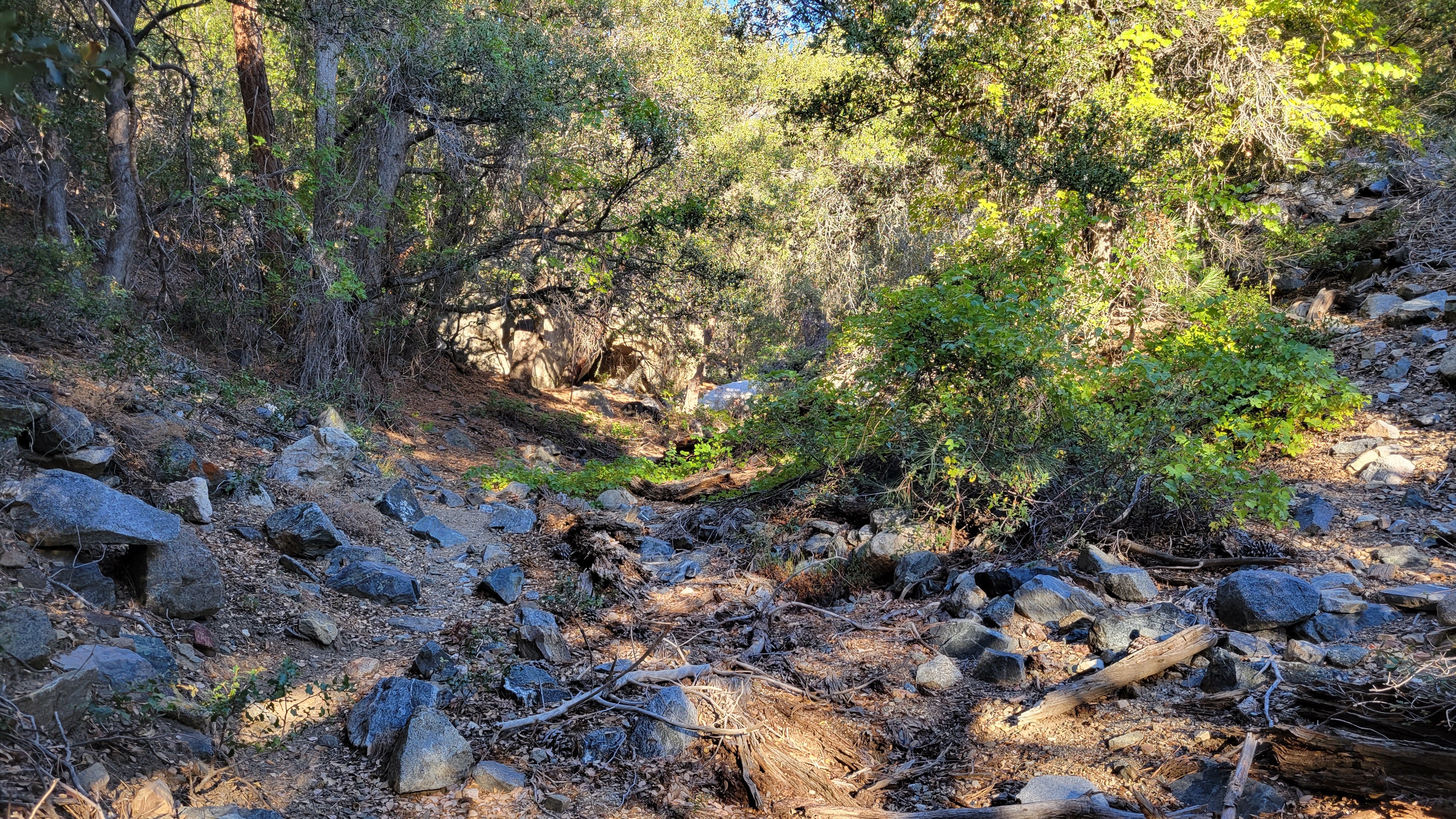
Following the dry spring
![Image](https://eispiraten.com/images-archived/blogger.googleusercontent.com/img/b/R29vZ2xl/AVvXsEg46SzhhrOp_rKWf0zYnLx5ine5X-F3CqUYf-cgHOoGN5u-u2W_p6SFOAQy-mrAMVeYzM3PfNbnthrv_ghHBPBxUYkh75U0YUrYJbwa8RcEIx53CgQhujUBYDRmXDHrk3FLmN3MSaPqrTCxEOjORuoVechIWpjCtaj6ISE9zpymxGF36DZEVdtD760/s4032/20221007_093809.jpg)
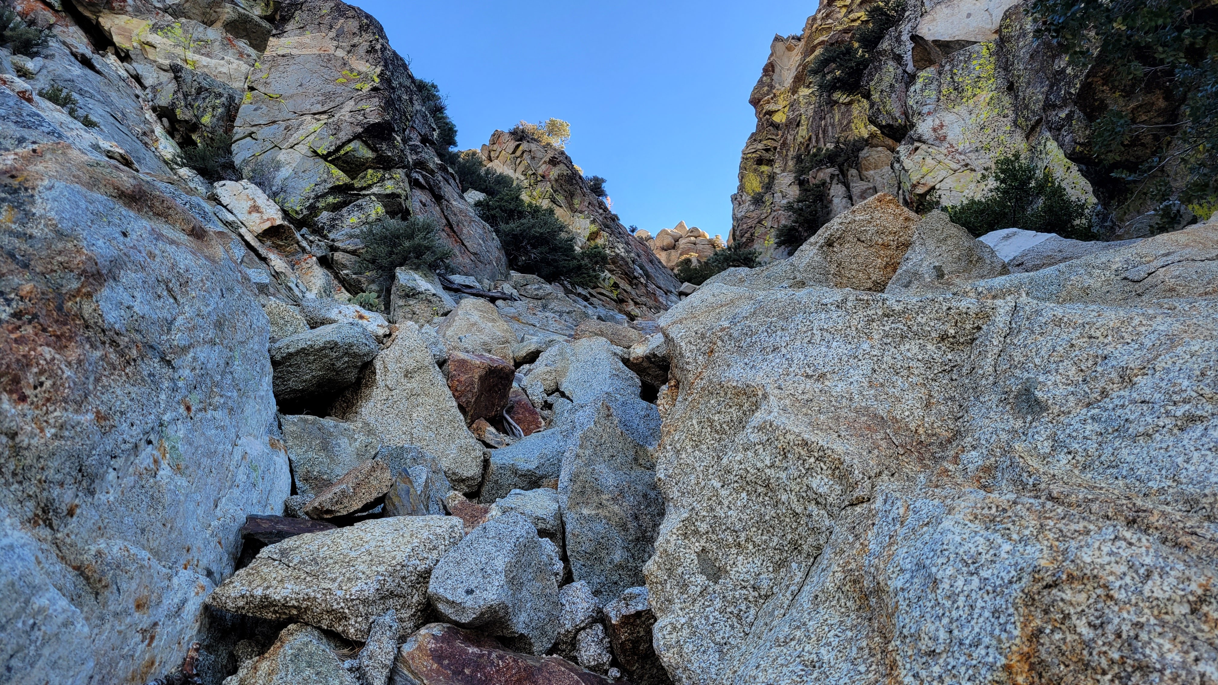
Off route, but finding a way
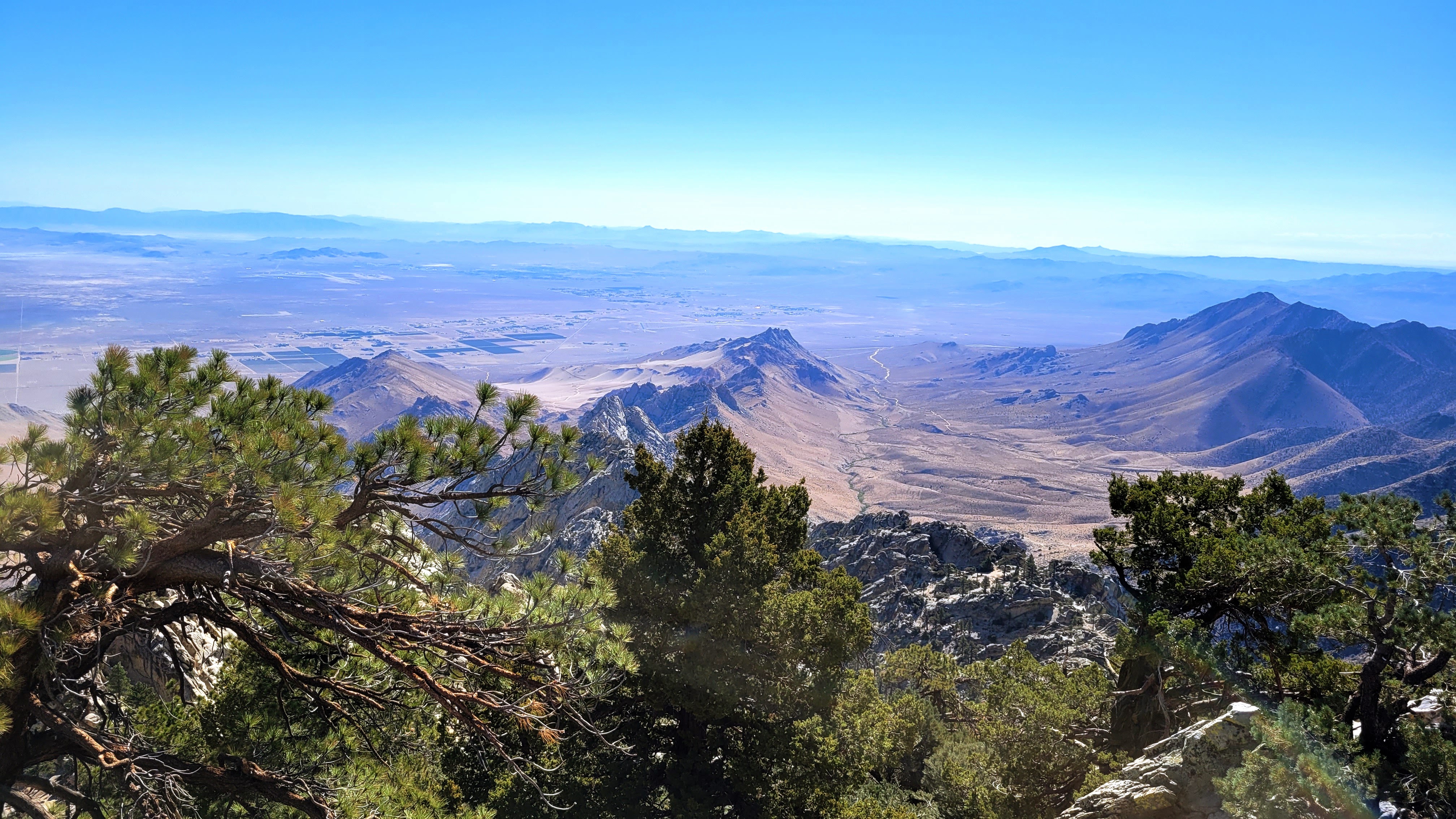
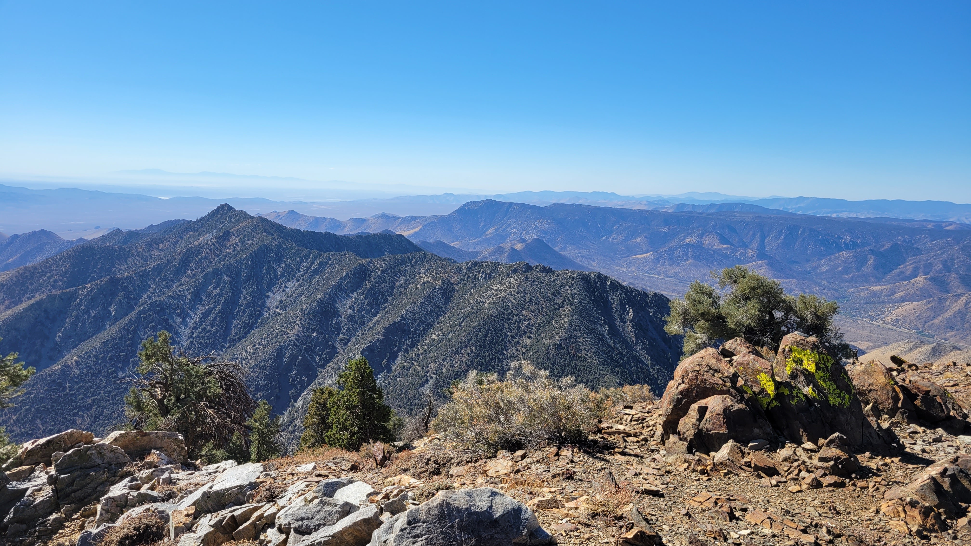
At the summit, I unpacked a drone, a DJI Mavic Mini 3 Pro. I am still learning how to fly it, but it has some pre-programmed flight sequences that are impressive. After taking the aerials, I hung around another 20 minutes, soaking in the wonderful sights in all directions. The longest ridge on Owens is a jagged granite spine that makes it look even more imposing. I could see Olancha further north and could barely make out Langley and Whitney through some haze. On the way down, I was able to stay on the trail and descended the dark boulders and class 2 slabs below that. I discovered where I lost the trail and built a cairn of my own to help future adventurers. Gnats became a problem below 6000' and I had to resort to my bug net until I got away from the spring. Owens was a big ball of granite fun and one I wouldn't mind climbing again some day.
![Image](https://eispiraten.com/images-archived/blogger.googleusercontent.com/img/b/R29vZ2xl/AVvXsEjDxi0y9rDE5rgjZEAeRxQD_mA2pT1N3_Ul9ZvVJ9XcPgGdPp3MzRmgiyb9naAkx-3m7dlIPqm-x6zFyLl1j-MM2siZZyaoYVvlLrw9S0QJ3L80sW_NYxhf7b4bBS-qbRrT8jb57NEjgrYkI7ZG3LOLtfiHPy4nKuWhqHrW_l8gvm8gWnB0ZaZXr30/s4032/20221007_103235.jpg)
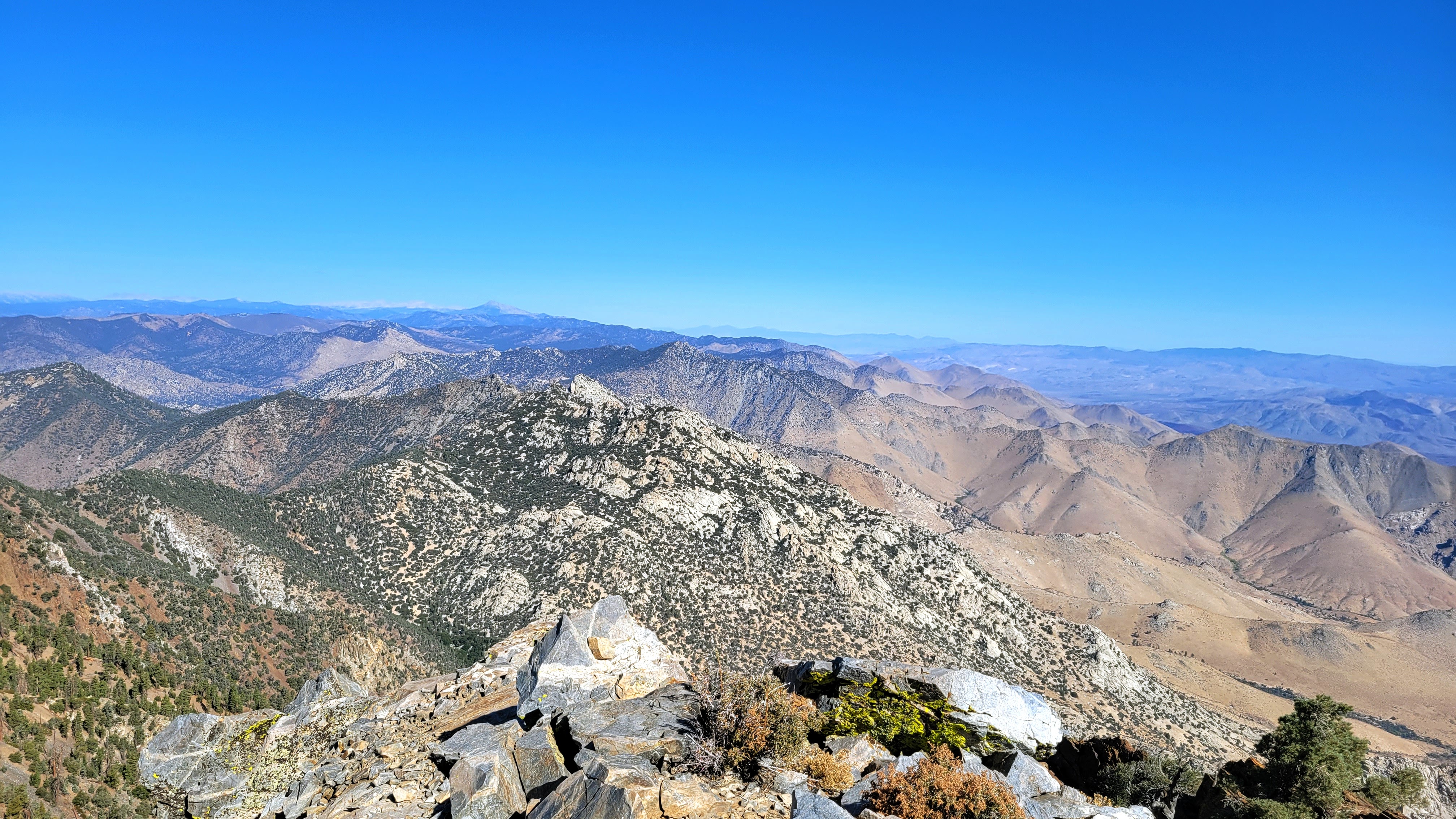
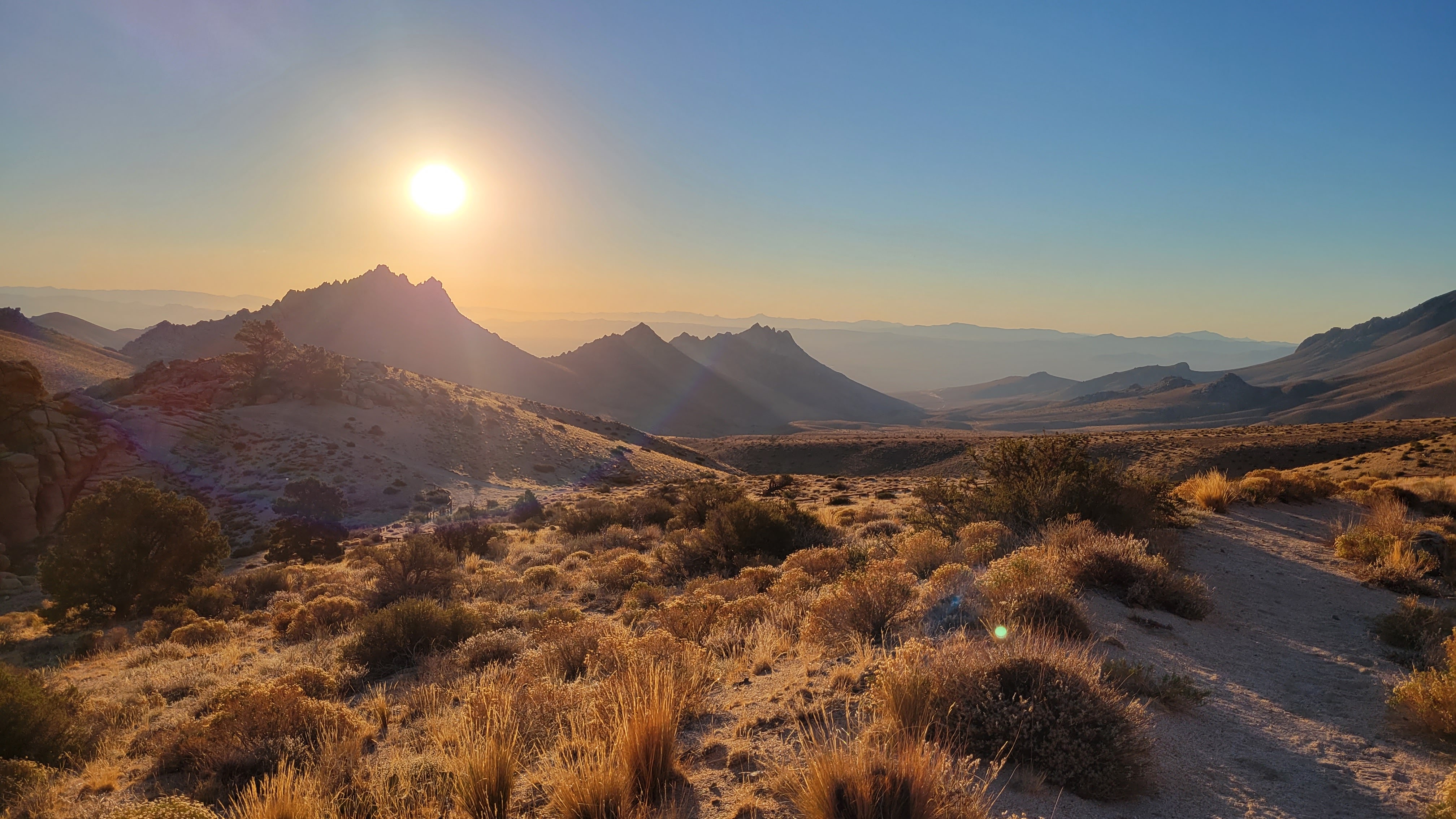
Looking north over Spanish Needle, Olancha in the distance
![Image](https://eispiraten.com/images-archived/blogger.googleusercontent.com/img/b/R29vZ2xl/AVvXsEjlptTKKlzLSoz999cGwkZoPh7nCHi4b0HgpY4PIupskyUIid8Lau1dqDbD0FxZOMxdIogGxGxGp9JUx3iZSsX2tQWj_81nhqLmh-jG8Q0qdFigC7oM5z1qGSft6ebcvdrPmF3LcTX5Zh3cMVXNP0lhVkNOvEfowcGQoolbbqu2UemQZyxb3FGaR5w/s4032/20221007_103243.jpg)
![Image](https://eispiraten.com/images-archived/blogger.googleusercontent.com/img/b/R29vZ2xl/AVvXsEhXYhQ_X9qQ2LXF7zqjKdT9-fsTN9gYImfoH-0VarbW2tDIN-Q_eloI_4ptvEut0xdhbAazsR6W0RxkEFIQ9kdIzctHRyvLdGq5ASZPAuOPpkG1Bfu2EsWXCAFanM-qVHSK6wC73qMNOhllieP-PisPt1wiCEq3AF53K-7SePO9Wu4vL2oD4WOluXs/s4032/20221007_103247.jpg)
![Image](https://eispiraten.com/images-archived/blogger.googleusercontent.com/img/b/R29vZ2xl/AVvXsEjn9mLgYcp8YrOUJ3wylRDgO4zntmSvg2qjMJdap6ZXagINR-e8Mg8DQjd7yeSv7zhdBUa50dlAI4Usm5zgvprTr7dR9iIB76HjniAZBr2pZU01hRGzxBzduBO5KeyFy9Imq0EjdFYYXj8gVUBCQ-Eo_osO11ssOyVKg7W5UQX9kAYb3kbogryqJKA/s4032/20221007_113813.jpg)
On route, descending slabs
![Image](https://eispiraten.com/images-archived/blogger.googleusercontent.com/img/b/R29vZ2xl/AVvXsEjDMtCGBMG_IxxCqbfL3A53JUOZUjb88_EqAHBpBobxZqiIaGRQN6hs_DEwLRCdu-9ESgOQrMFou0fbwGCky9tYBmkDISk4Mok2-8LNB-5zoJYA4ouJfhHmiqsQCmcejyVeUpRqbNwSGHmO58lrYSn3OLqDnPhCmAjprUfiz-QmRglWidhVvFGshyo/s4032/20221007_114825.jpg)
On route, descending black talus field
![Image](https://eispiraten.com/images-archived/blogger.googleusercontent.com/img/b/R29vZ2xl/AVvXsEh7e1AQiJ_s5-GCxlCPtX--ZPDsNaxyssMbFT81RlNbyJz00o3vsSb9PXj7zI0WRxsud1PATlVPxqdUQDBX1D1yQtysBackbSsWjZgGZQZcngKfWFhzdsijGyN2C0NNvpqUMyF5I2OjpUNR_mK4YbV21ixOWiaKr3tVU32Y0HpUS6D_NxCgyjlYCEM/s4032/20220617_104735.jpg)
Owens from highway 395, taken in June 2022
Drone videos:
https://youtu.be/jmoJNrpbwik
https://youtu.be/Q39YXp6fMA4