Devil Falls is pretty straightforward to find if you know where to go and look. Definitely a super beautiful place and I had it all to myself on a Tuesday! Can’t think of a better place to beat the heat on the way up East Fork.
It’s kind of a pain to get back to the main trail from Devil Gulch without “trespassing” under the BTN, but I made it up a crazy steep scree slope by the storage container there.
It was my first time past the BTN, and it was awesome to check out the Narrows, they definitely lived up to my expectations.
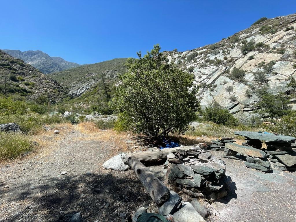
It was easy to reach the Iron Fork confluence, but I had a pretty rough time finding the Iron Fork camp, especially with my heavy pack on! Finally was able to find the camp around 3pm. The stone table and giant fire ring are pretty neat for sure.
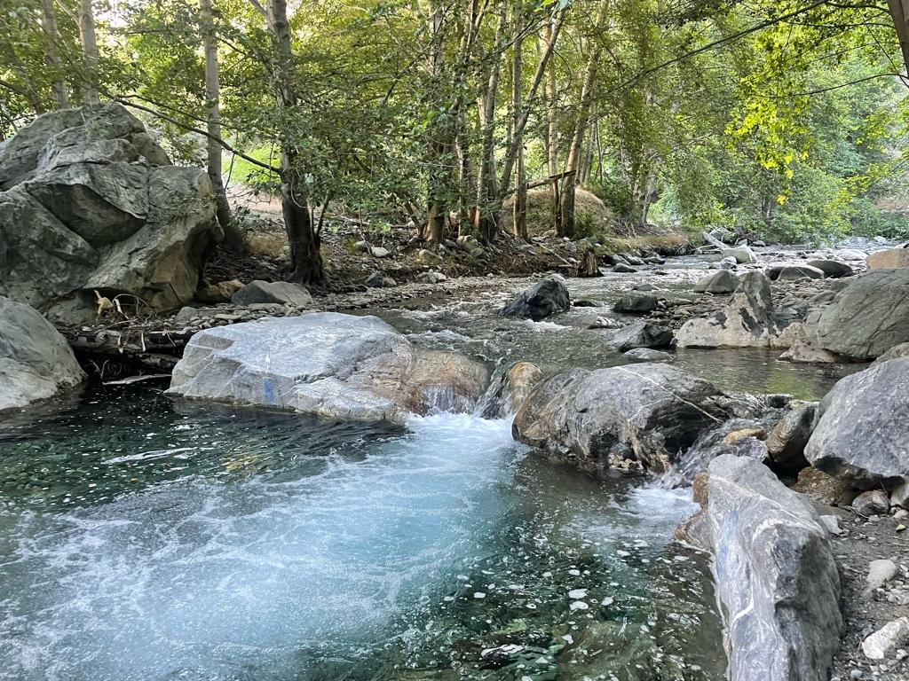
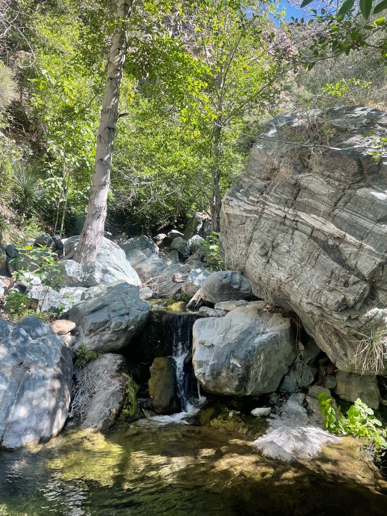
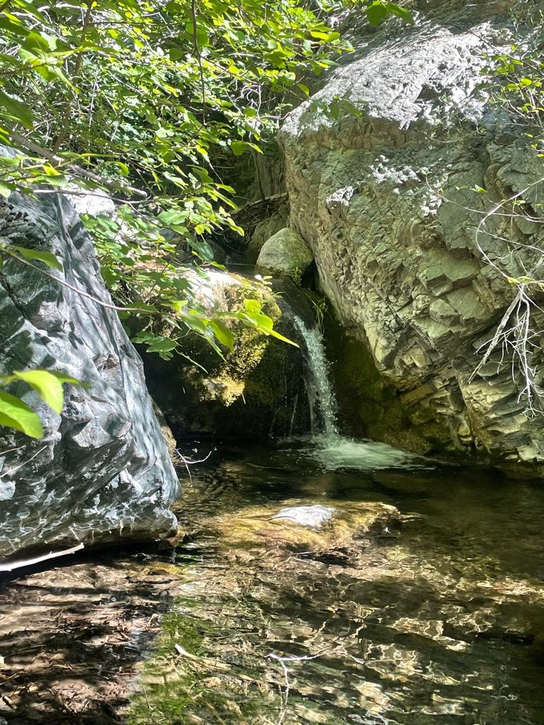
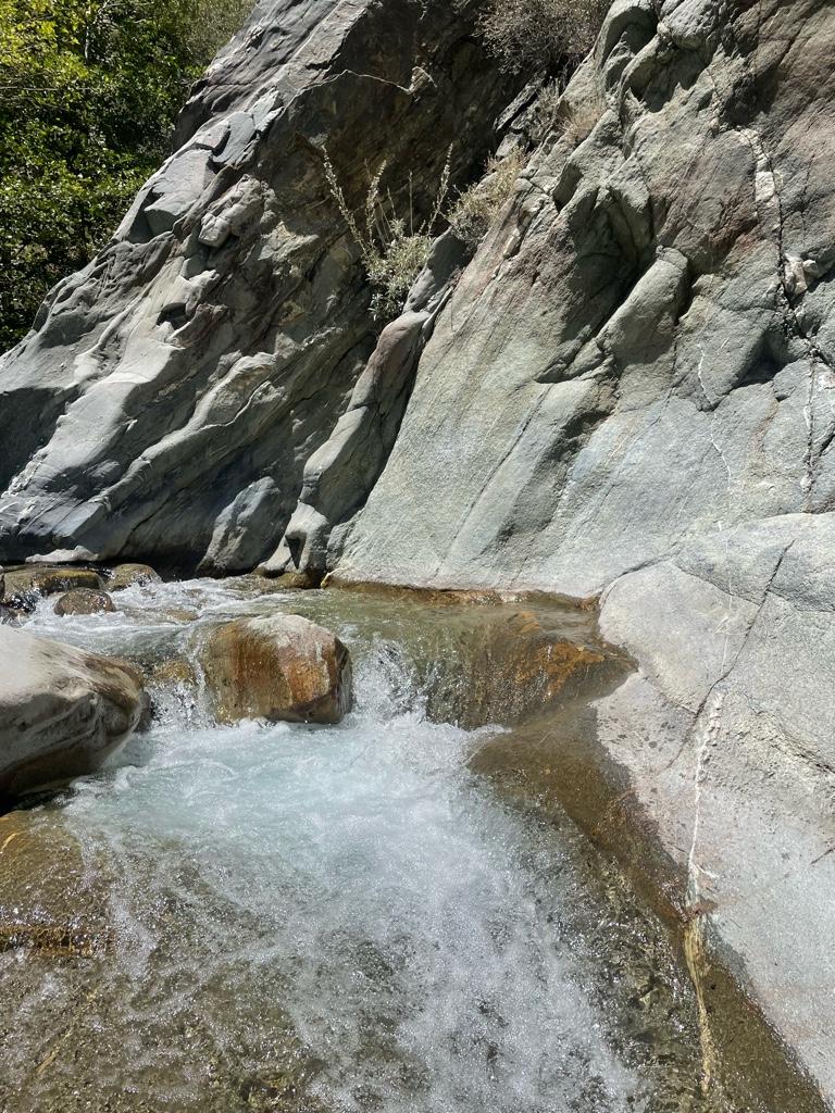
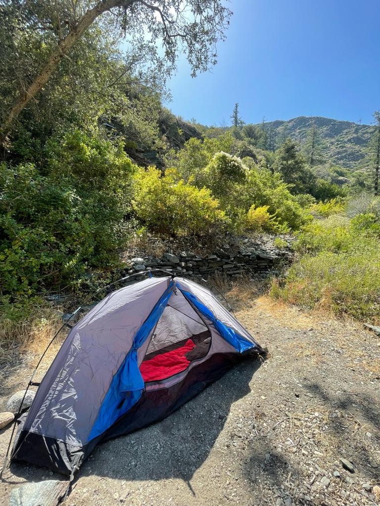
Set up my camp for the night, and made my way up Iron Fork for a bit. Lots of water coming down still in June, and many beautiful little cascades, pools, and slides that get bigger as you go up.
I turned back for the night after about an hour up Iron Fork when I got to a pool I didn’t feel like swimming through and headed back to my camp. It was an incredibly peaceful night, with the sound of the river, frogs, and birds all night.
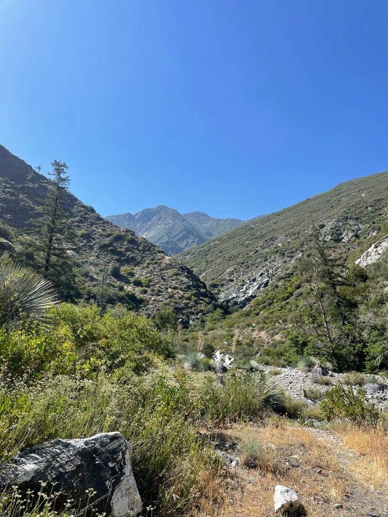
The next morning I headed further up Iron Fork, trying to reach the confluence of the two forks. I didn’t bring my phone with me unfortunately because I didn’t have a wet bag with me, and I’m sad I didn’t get any pictures further in!
Iron Fork gets better and better the further up you go. I came around a corner and was pleasantly surprised by Ross Gulch Falls tumbling in from the north.
Sometimes the canyon walls close in tall and dark and it made for almost a cavern like experience in some places with a green canopy of trees. It was super fun clambering up the slick walls and around the car-sized boulders.
I couldn’t believe my eyes when I saw in the midst of all this beauty a campsite tucked away up there! It was right across a moss-laden wall with a spring leaking out of it, and above a very deep (8 ft or so) pool with good sized trout in it.
Wild to think of someone lugging up a chair and other stuff up here! It’d be awesome to try to stay here some time.
I would’ve kept going all day up Iron Fork, but unfortunately I had to turn back because I hadn’t planned on a 2 night trip. I’m definitely gonna be back to check out more though!
Saw lots of bear sign, one possible lion sign, 2 snakes, lots of lizards and birds, good sized trout in Iron Fork pools.
Tons of greenery everywhere in Iron Fork, and lots of water even in these dry times.
A good amount of bushwhacking, no major navigational issues besides trying to find Iron Fork camp.
Took me about 5 hours to get back down to Heaton Flat from Iron Fork. I didn’t see a soul for over 24 hours until I got to just above the BTN.
Total was about 20 miles over 2 days.
I won’t be able to do much more exploring for the rest of the summer but I am definitely looking forward to more Angeles adventures, I never get enough.
Some pics:
One of my favorite spots on East Fork before Alison Gulch
Saw a fish jump here.
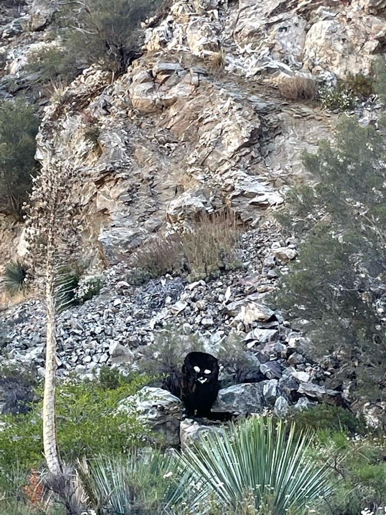
Looked like a bear at first and shocked me a bit! Someone made a little prank…
On the way up Devil Gulch
Welcome to the jungle
Devil Gulch
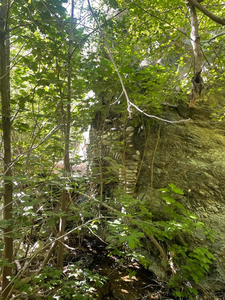
Cool old chimney in the wall at Devil Gulch
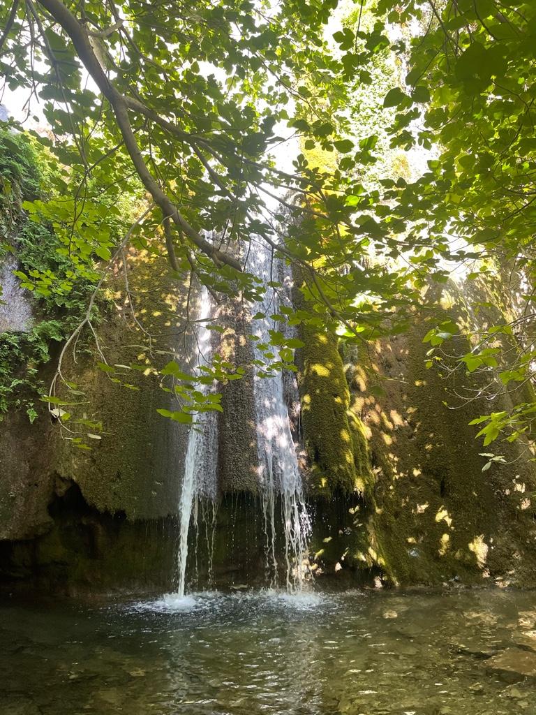
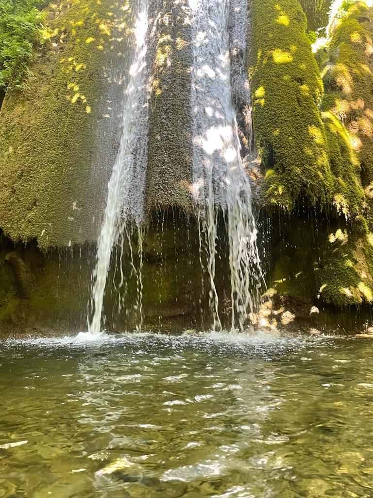
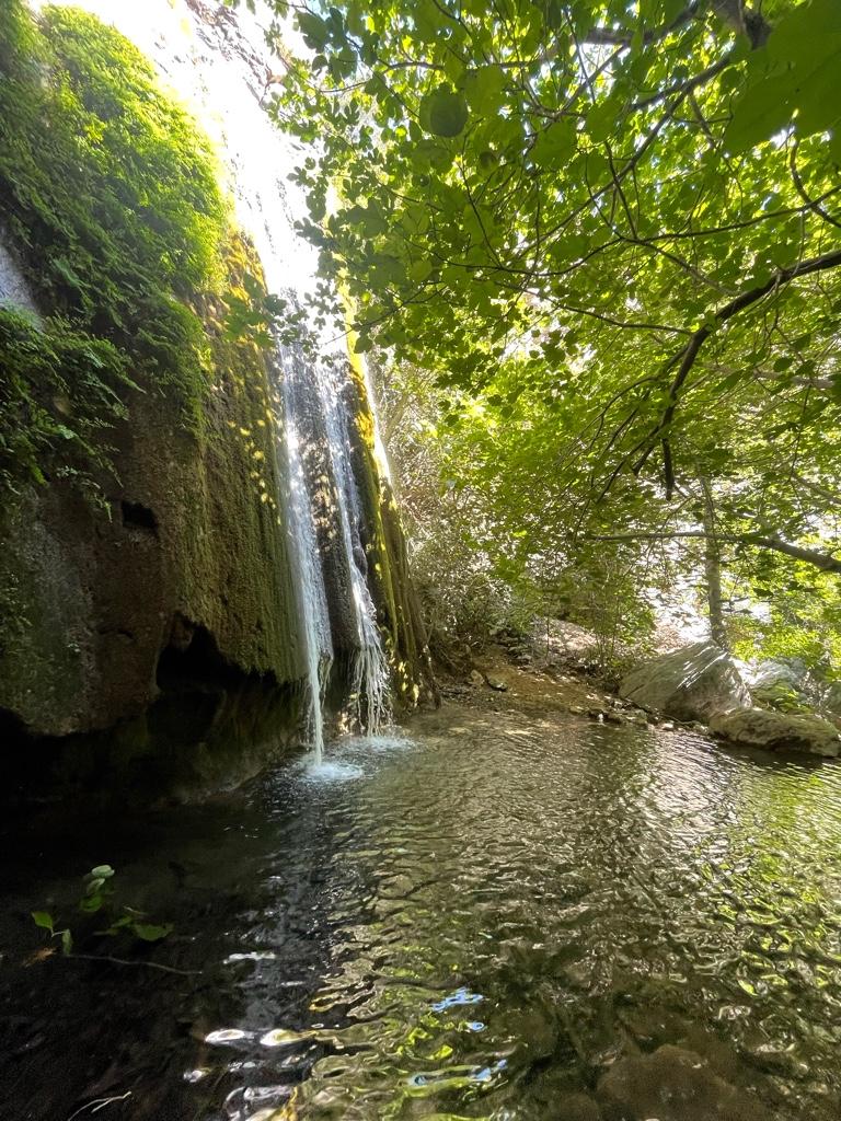
Devil Gulch falls
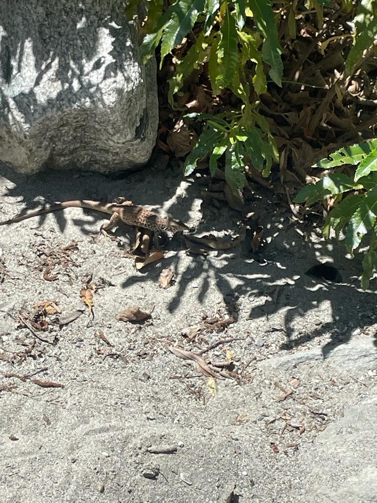
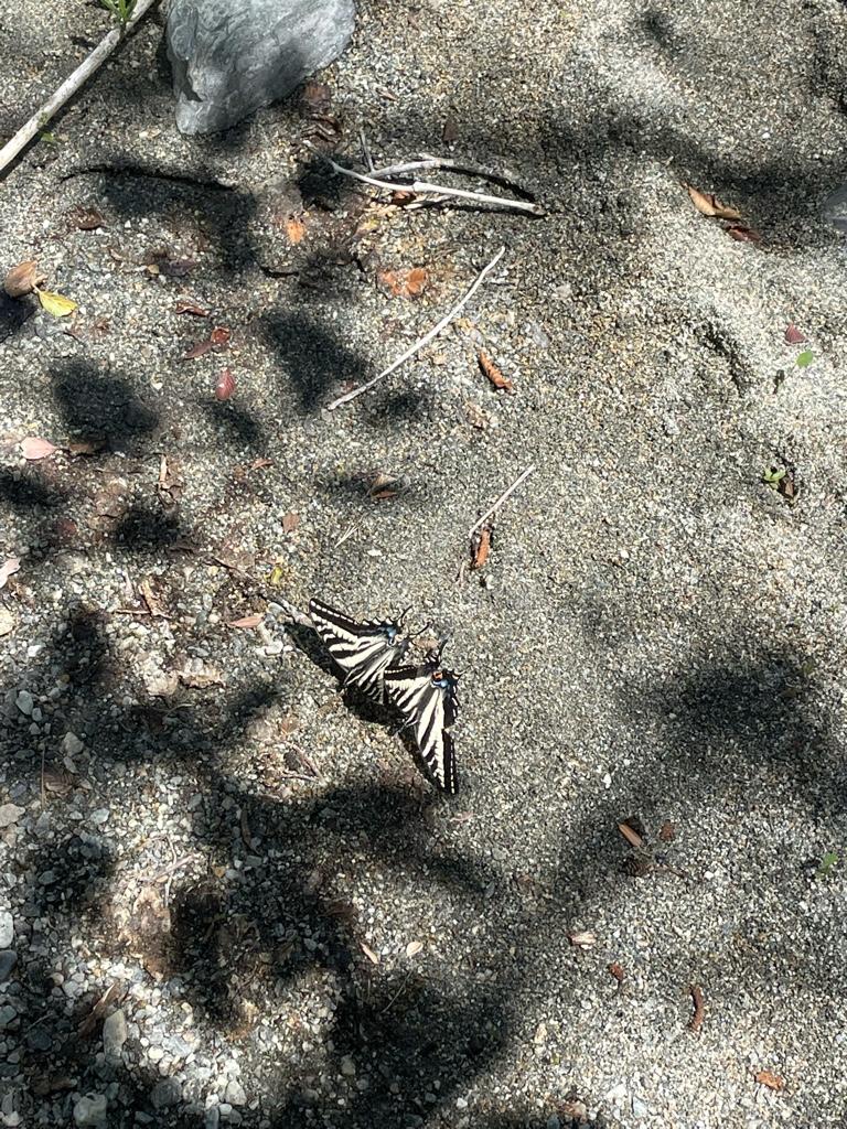
Cool spotted lizard
Past the Bridge
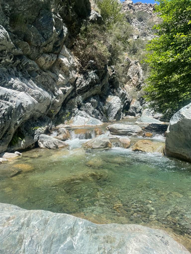
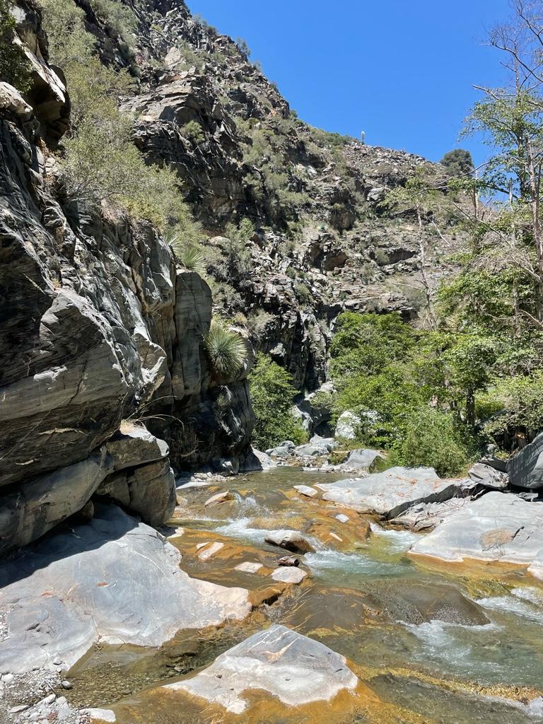
Reaching the narrows
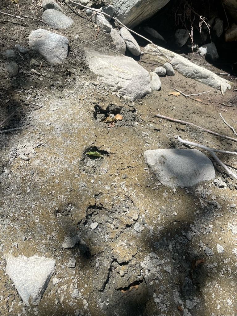
Possible mountain lion sign, scat a bit to the right
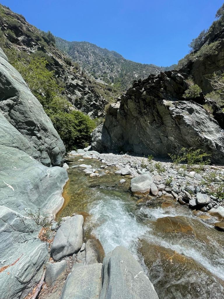
Narrows
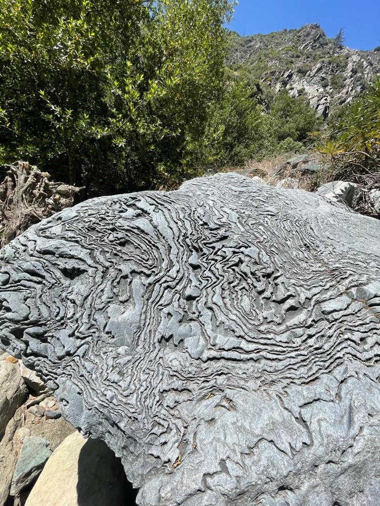
Awesome boulder
Iron Fork on left
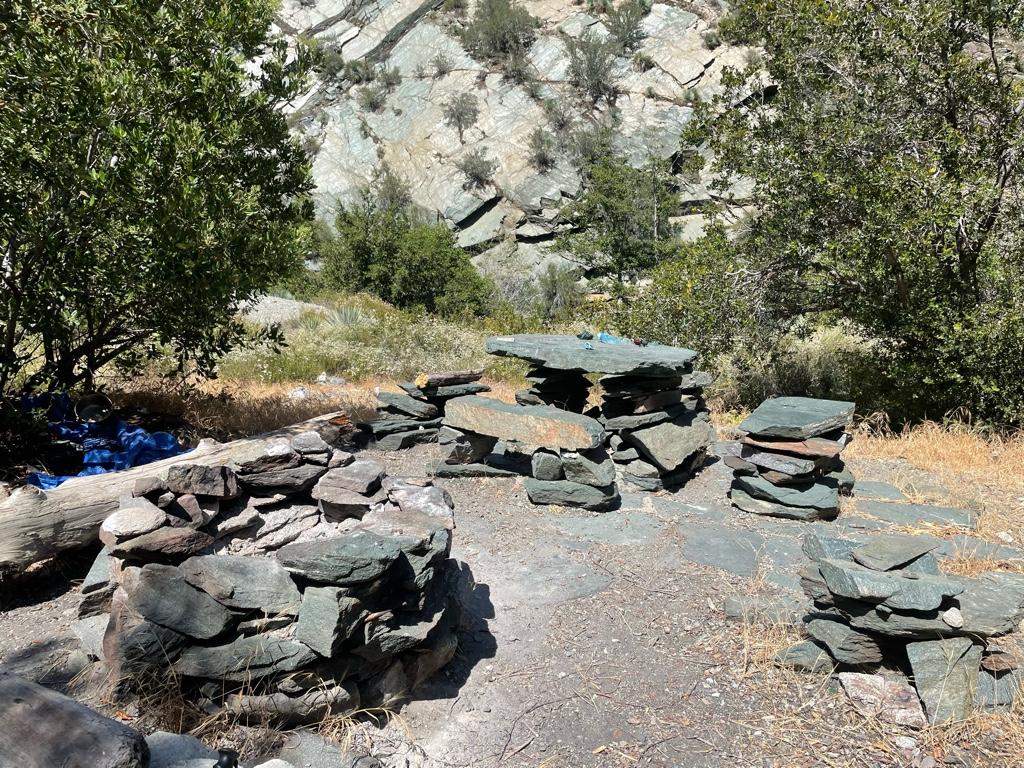
Iron Fork campsite
View up Iron Fork towards Ross Mountain
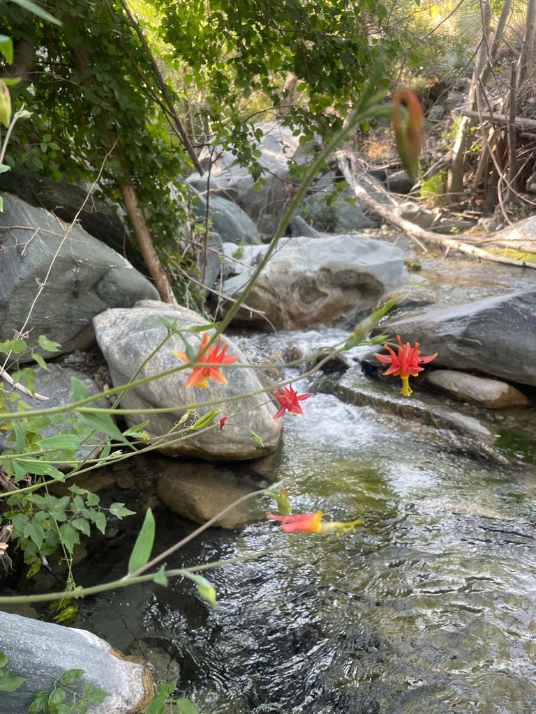
Columbines I think
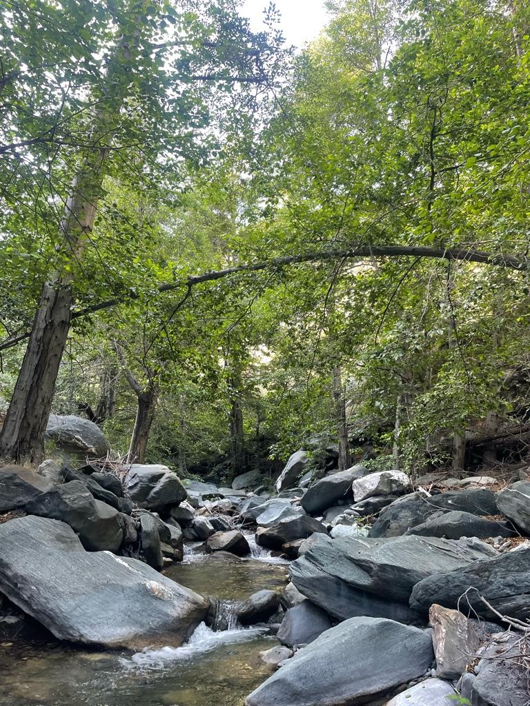
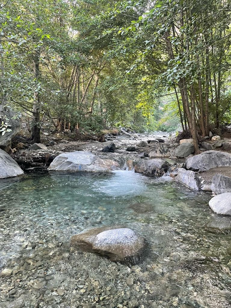
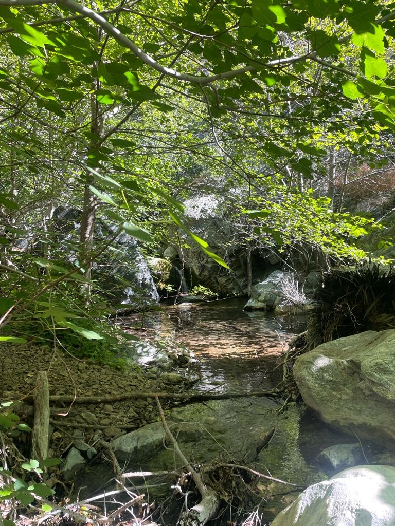
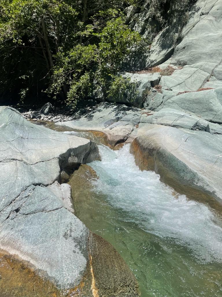
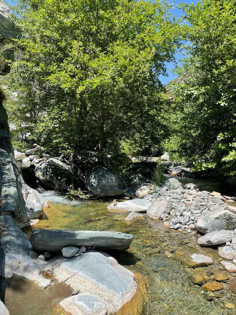
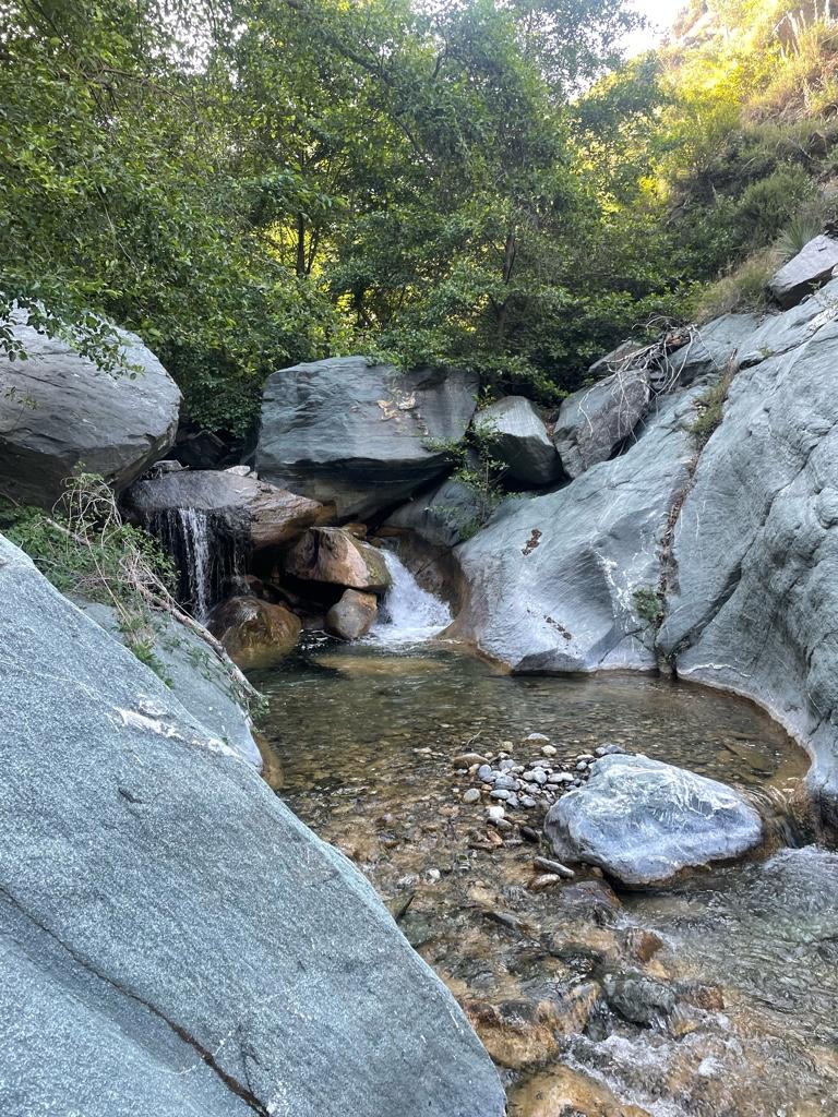
Iron Fork
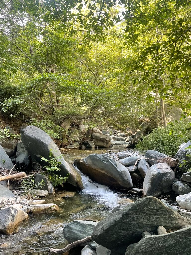
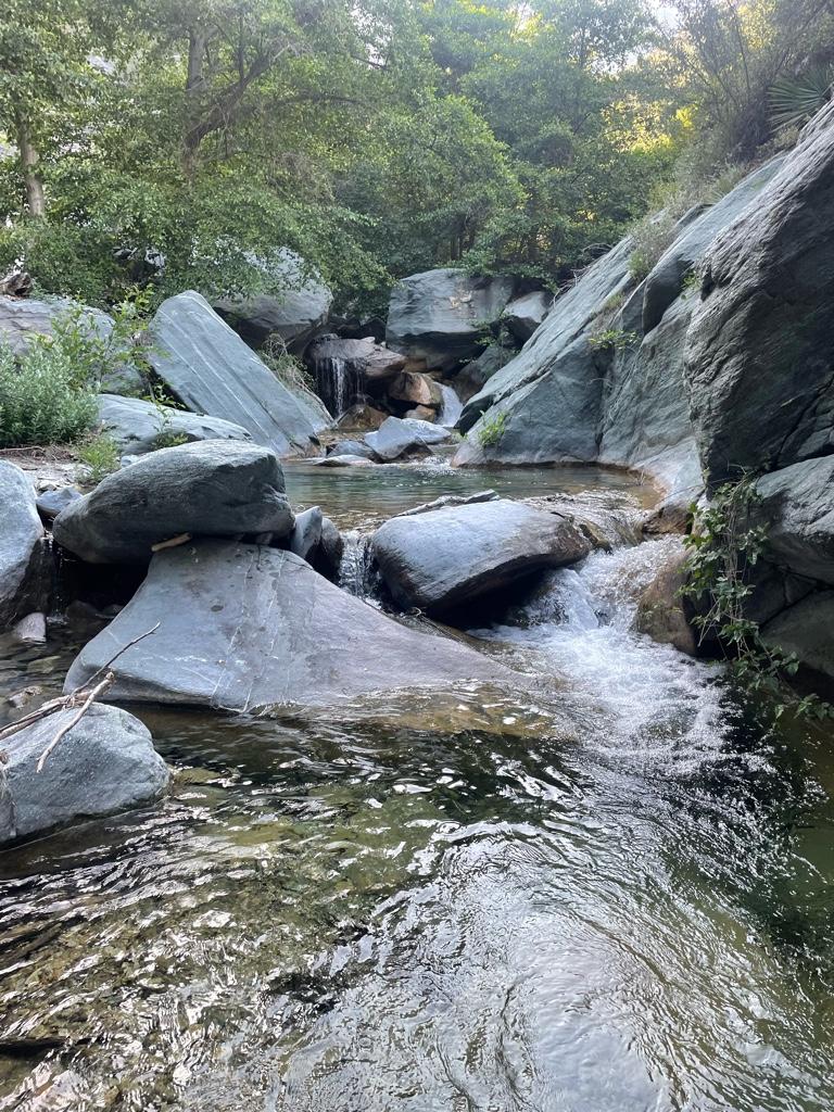
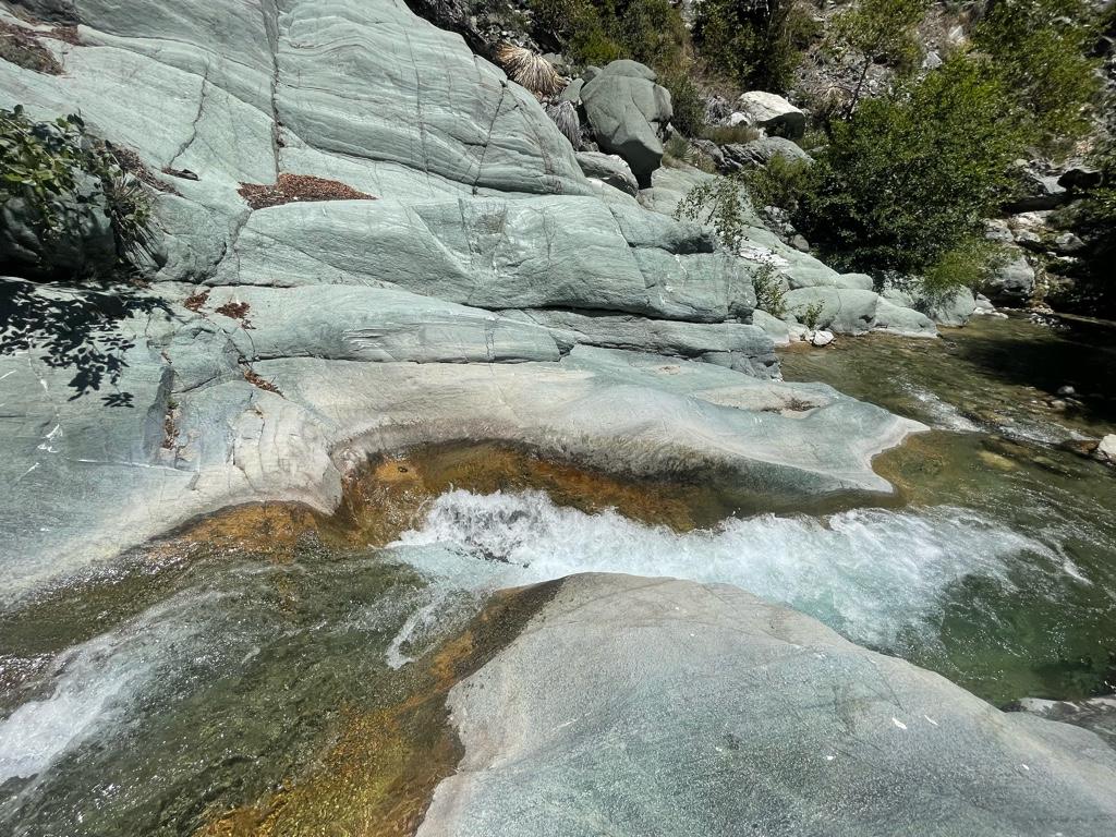
Cascade and pools
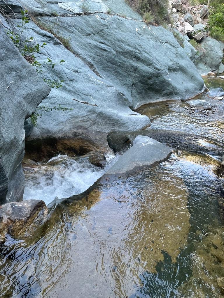
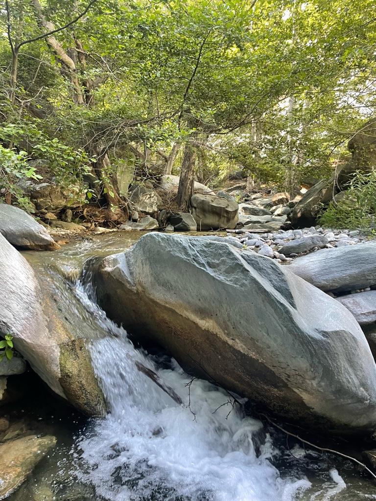
Looking down from a cascade
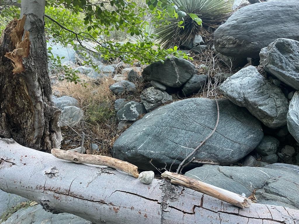
Little sign I made to mark my way back to camp
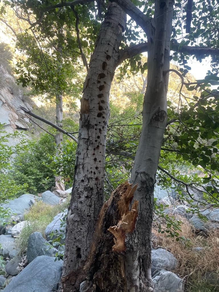
Woodpecker heaven
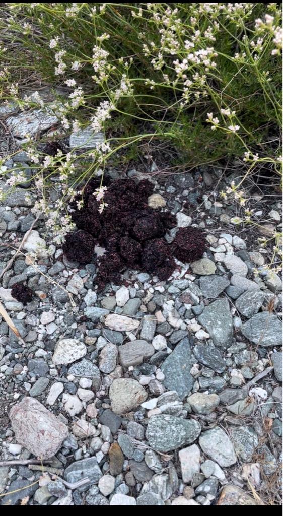
One of 2 bear scats near Iron Fork camp