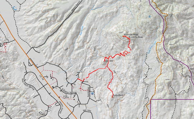
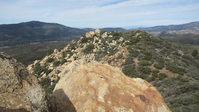
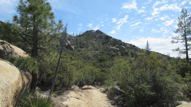
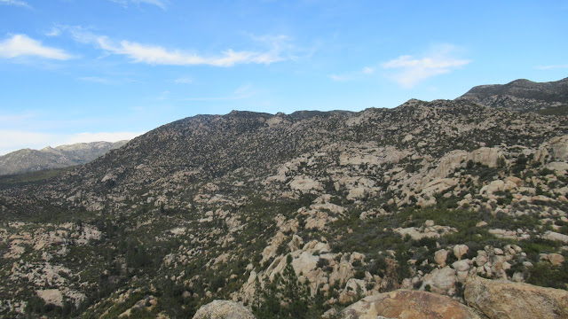
The main trail starts on Table Mountain Road off highway 74 about 10 miles south of Idyllwild. Trails to Rock Point and Gold Hill branch off the main trail. I stopped at the intersection with the Rock Point trail to cache my rope and climbing gear. I passed some mining ruins and several sealed adits. A sign said the mine was sealed to protect local bats. At the final fork, I went right but the trail to Butterfly goes left. After my trail ended, I had to scramble and plow through some brush before eventually getting back to the trail. I highly recommend taking a GPS track for the upper part of Butterfly. When I reached the summit, it took me a while to find the register in a white tube underneath one of the boulders. Great views from the top and nearby 6228 which was only a quarter mile away. I had an easier time following the trail down but the trip took more time than expected.
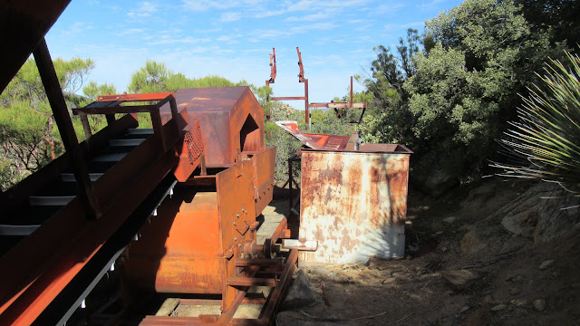
Old mining stuff
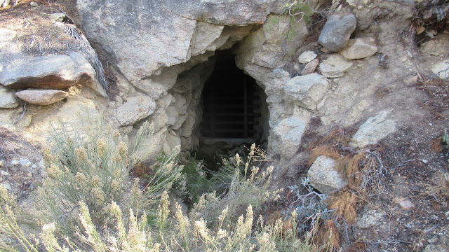
One of the sealed adits
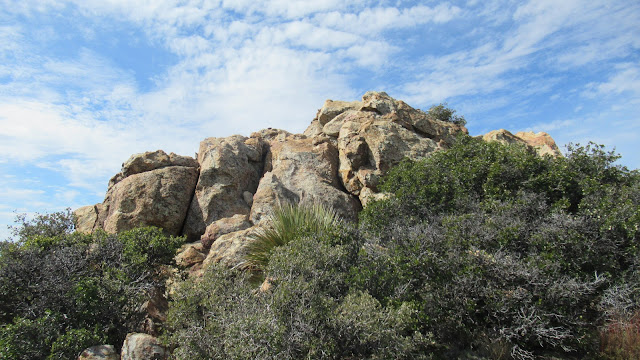
Butterfly summit
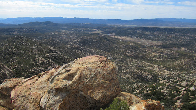
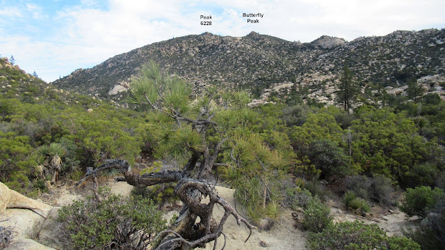
Peak 6228
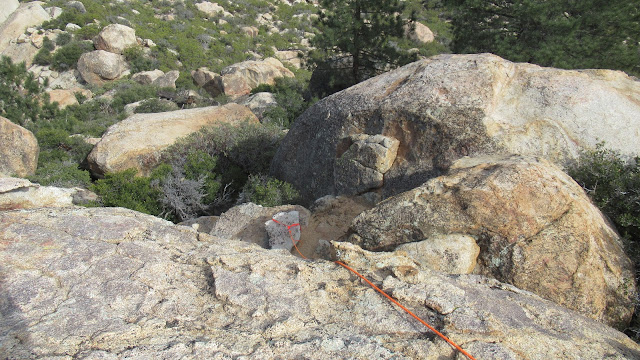
I picked up my rope and gear before heading south. The trail to Rock Point is relatively flat until you get to the base of it. Switchbacks take you up about 250' to the summit area. I did not find a register or any benchmarks. The high point is a daunting 25' boulder. The standard route is class 5.3 up a crack on the north side. Strong rock climbers free solo it. I might have been able to get up, but was not sure I could get down, ergo rope. After surveying all sides, I decided to attempt an ascent on the south corner. I set up an anchor on a large rock on the south side, then tossed the rope over. It took a few tries to get it positioned where I wanted. set up two prusiks, one for my protection once I reached the boulder, and one to hold a Metolius ladder aider. This worked perfectly. I climbed the ladder high enough to mount the boulder, then attached myself to the other prusik. With great holds the rest of the way, it took less than a minute to reach the top. After exploring the top, I climbed back down with prusik protection. It had warmed up to a very pleasant 60F and I lounged around the summit eating lunch and soaking up sun. The sun also brought butterflies, which were everywhere the rest of the day. I spent about 90 minutes on the summit. On the way back, I decided to pick up Gold Hill.
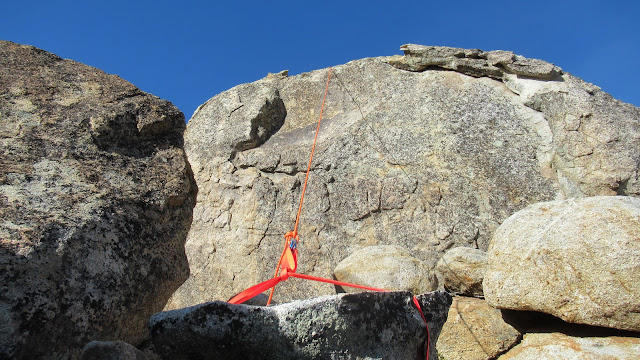
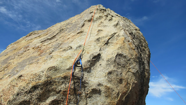
ascent side, with aid
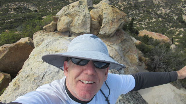
New floppy hat with better sun protection
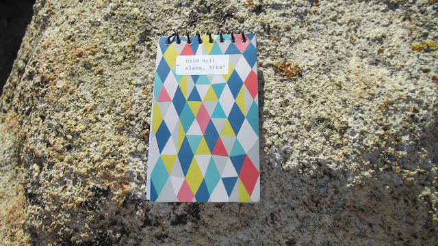
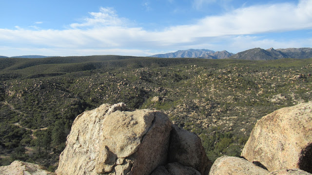
The turn off was marked with a sign about gold mining in the local area. The trail climbed a couple of hundred feet to the north side where a use trail branched to the summit. The route finding took a little effort but was nothing like the top of Butterfly. At the top, I found a register placed in 2018 with very few signatures. Gold Hill had fine views and comfortable rocks. There was another mine nearby, but I didn't spot it.
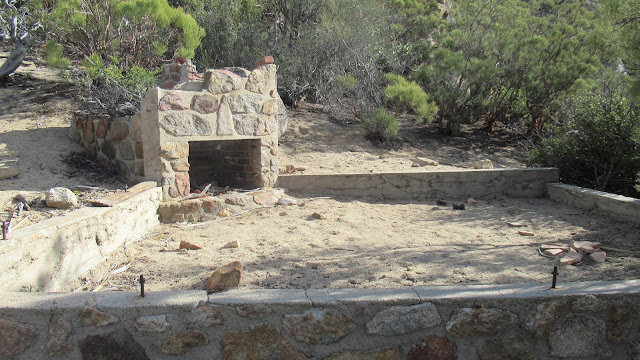
Cabin ruins