

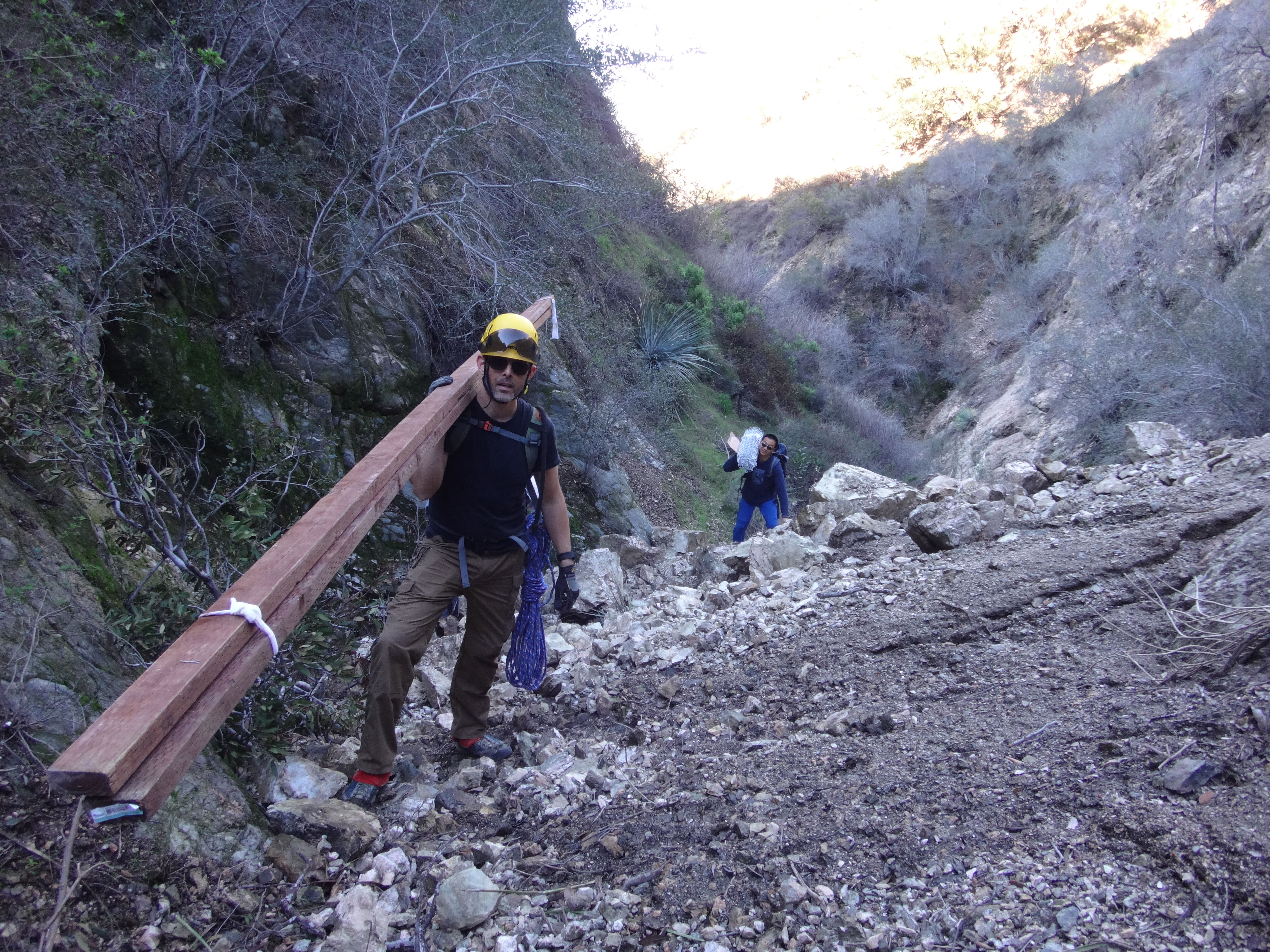
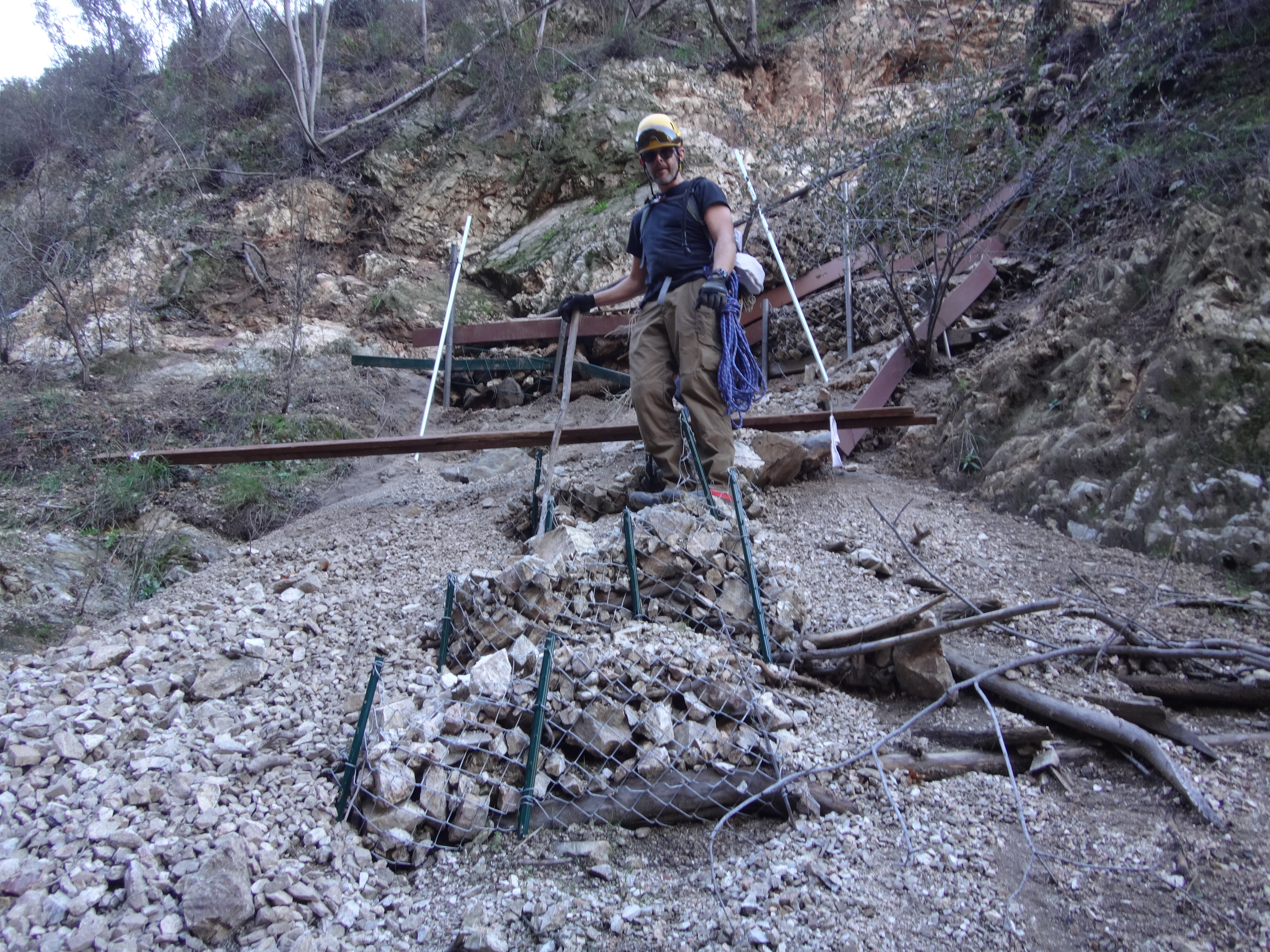
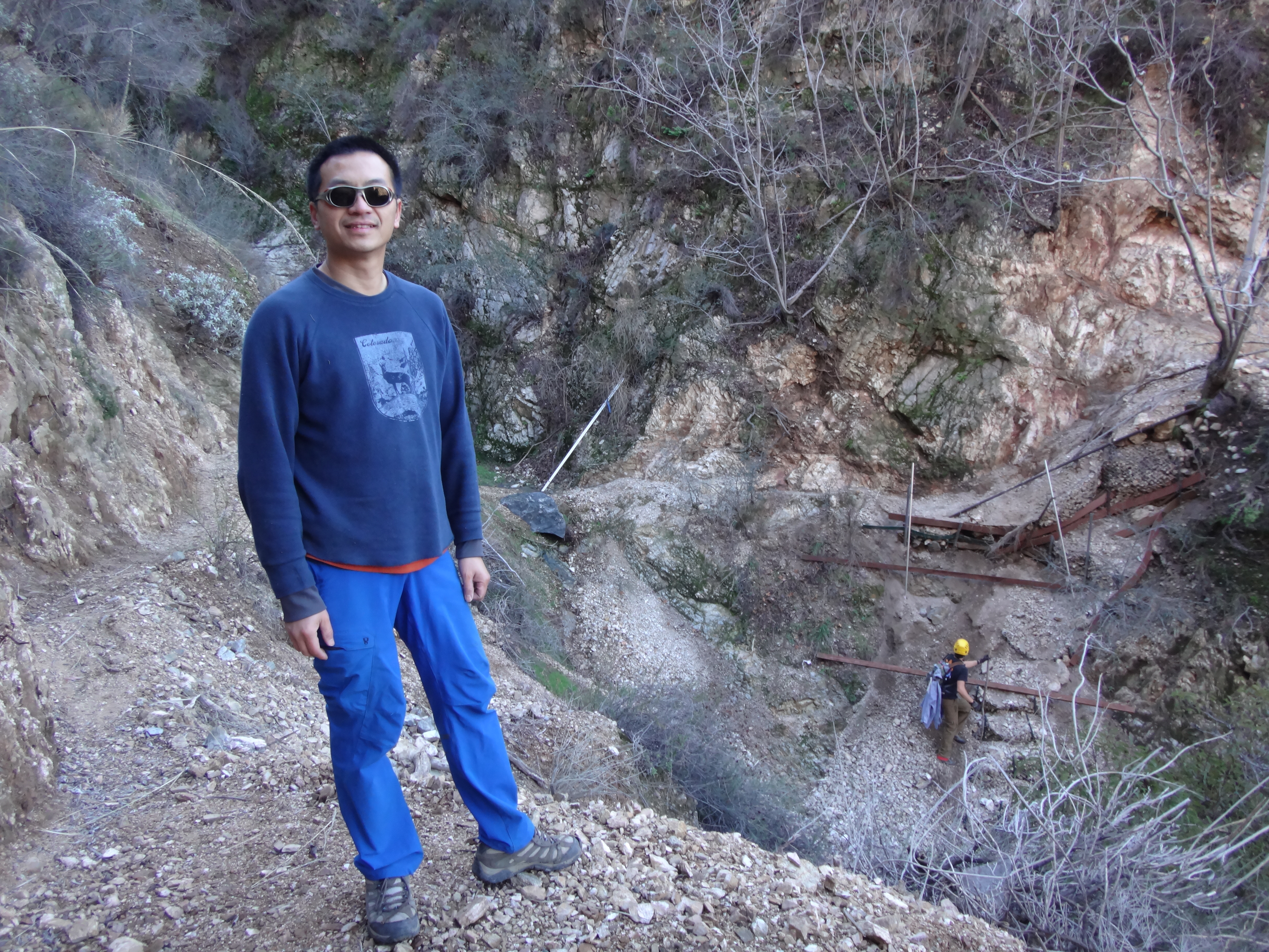
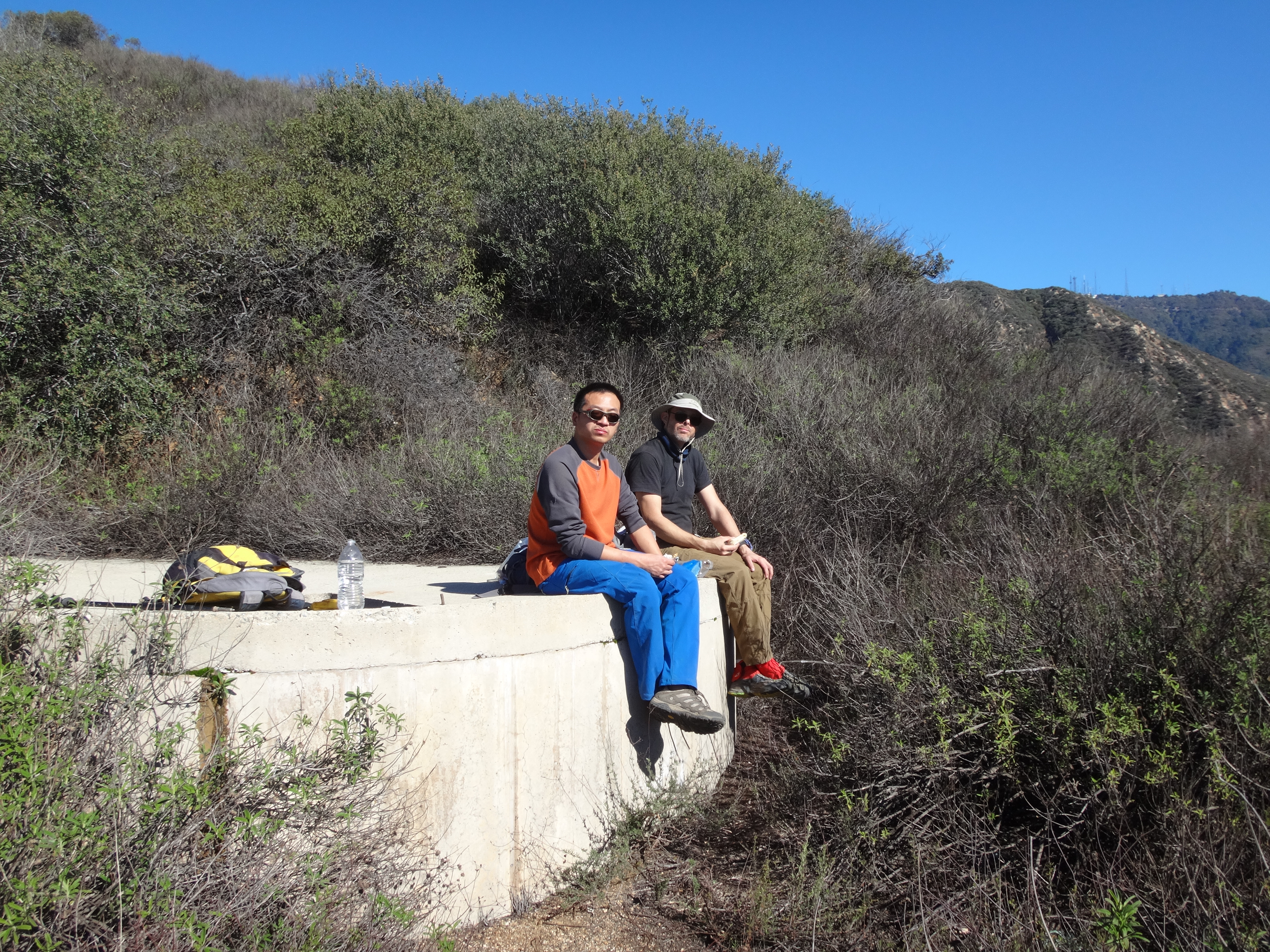
Henry was visiting from Visalia and wanted to see the new route. I asked Jeremiah if he was free, and together we met early Saturday morning at Jeremiah's house. He persuaded Henry and me to help pack in supplies for the restoration site. Henry took a roll of fencing material. I had a package of wire. And Jeremiah managed the heaviest load, two long pieces of lumber, which he bore on his shoulder.
To make things harder, we decided to bypass the first section of the tractor trail, which begins at the Rubio reservoir, and instead go straight up Pine Canyon from the intersection with the Altadena Crest Trail. This was because Henry had never been to Surprise Mine, which is best accessed by going up-canyon, and I wanted to show it to him en route to the trail restoration site.
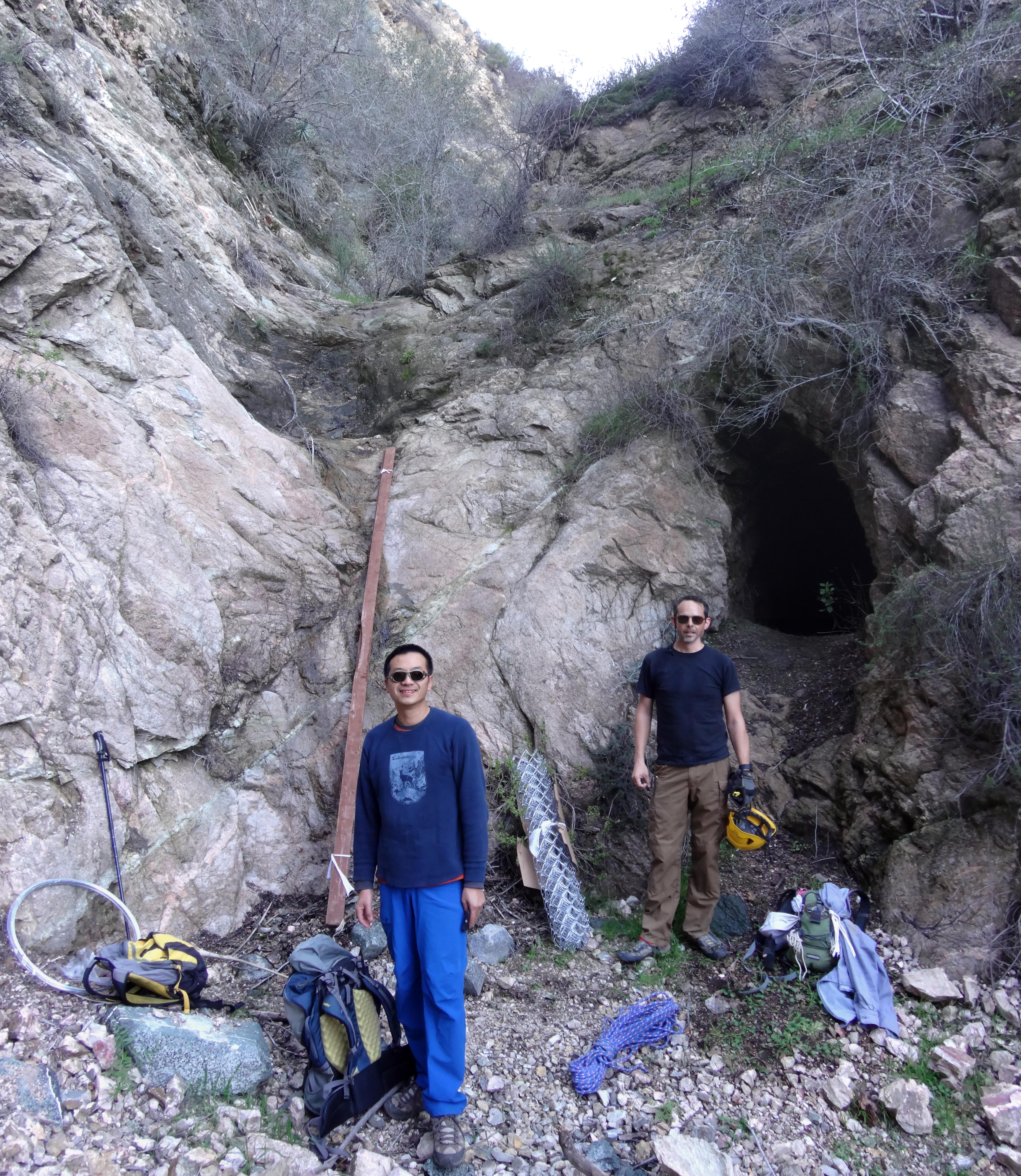
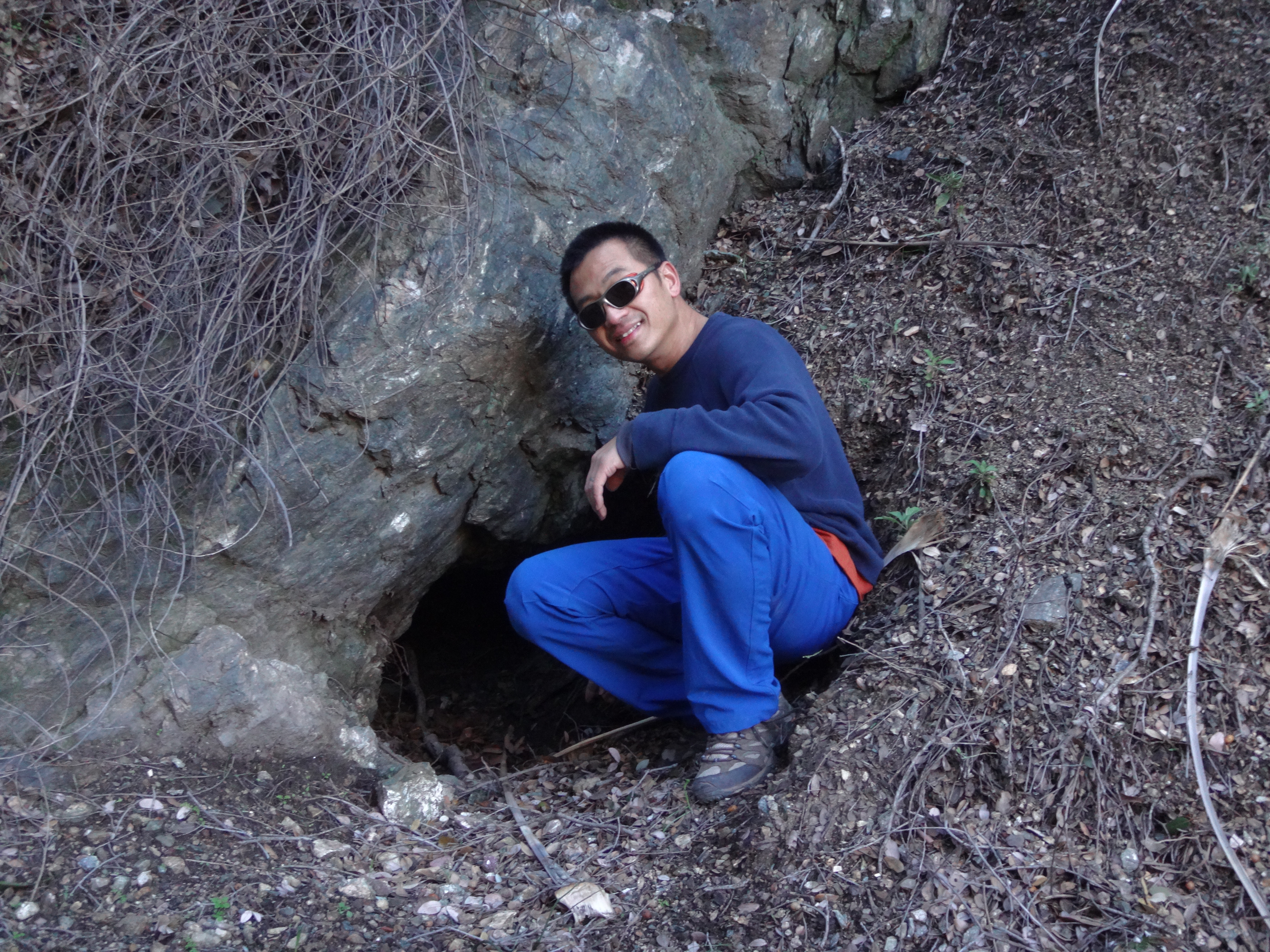
(Outside Surprise Mine with all of our junk.)
I think I've described the stretch to the mine in a prior report. If not, basically it involves climbing or bypassing several check dams, then negotiating some class 3 stuff, which proved to be slightly more difficult with mildly slick rocks after weeks of storms.
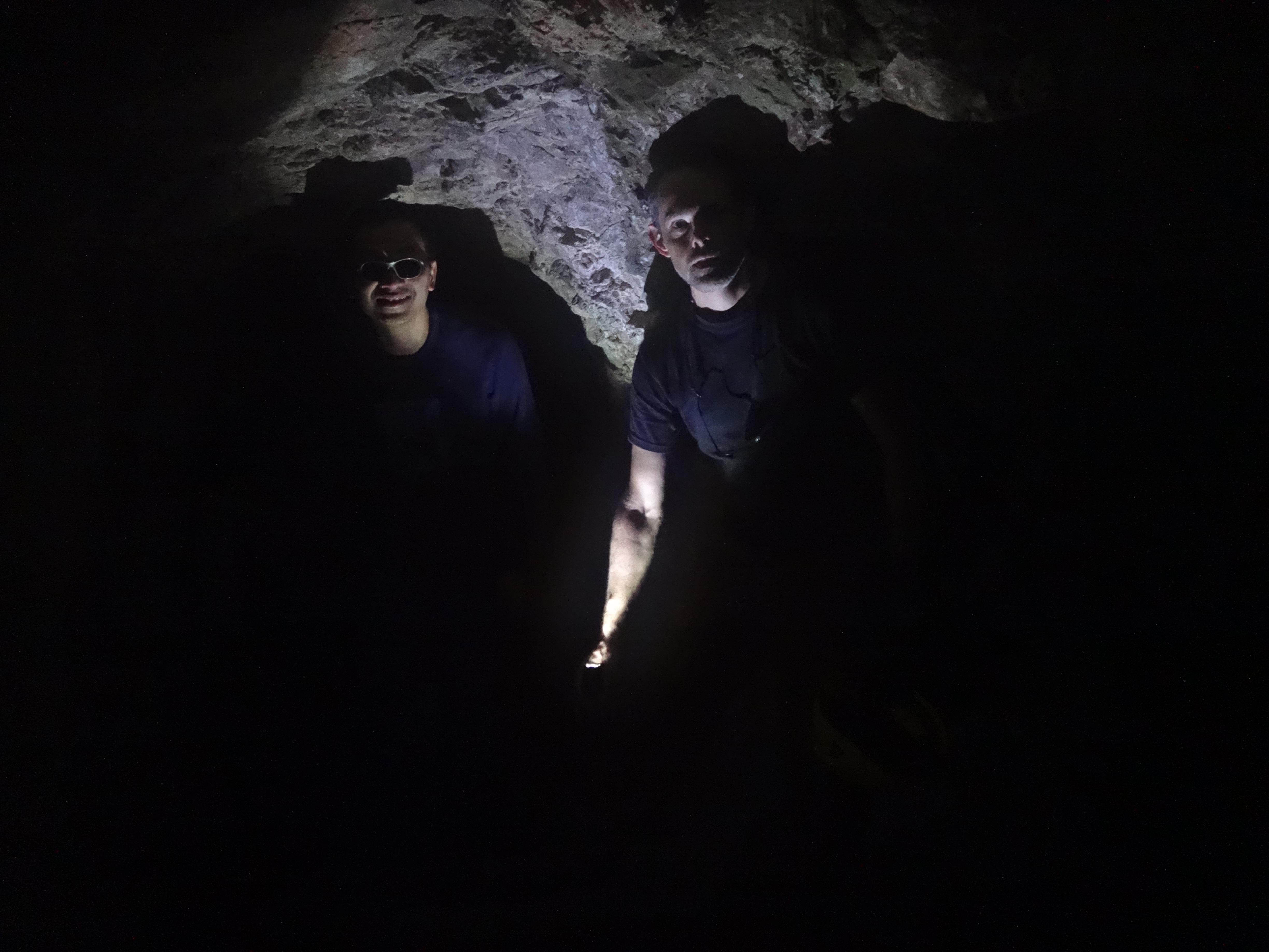
The mine this time was partly flooded, with a few inches of water across the floor, so we went in only thirty feet or so, to the side tunnel, before turning back. But it goes in about a hundred feet or so.
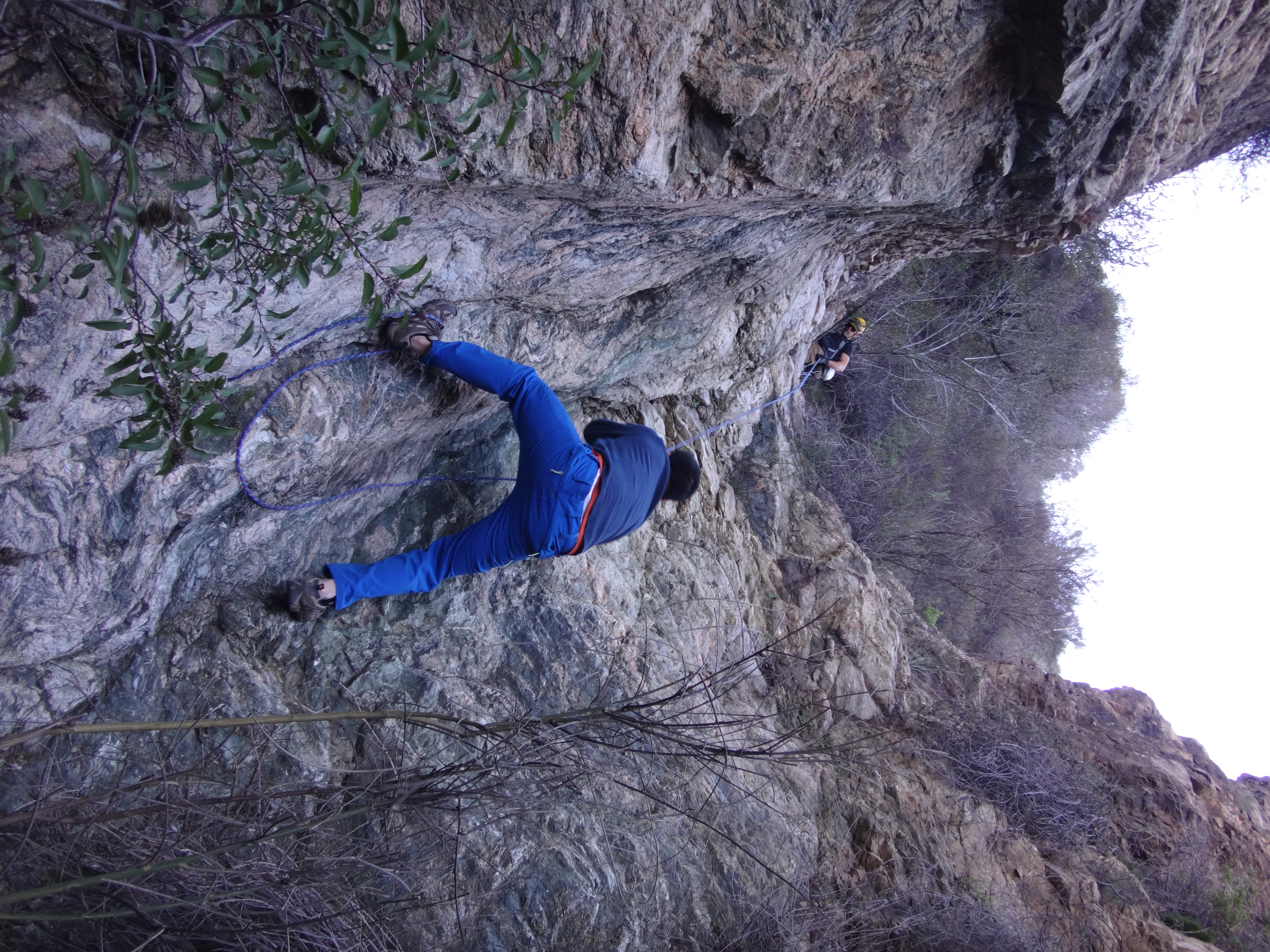
I had never been on the stretch of the canyon between Surprise Mine and the tractor trail crossing. The immediate obstacle is a 15-foot high class 3/4 waterfall right beside the mine. The best option looked like the right side, where we could step up from the mine entrance. The plan involved leaning the lumber against the wall and using it for support. Jeremiah went first so he could then drop some rope to pull up the gear. Out of caution, Henry and I also used the rope for support during our climbing efforts. Having not been able to hike for the last two months, I felt more comfortable with the rope, because my flexibility was very poor.
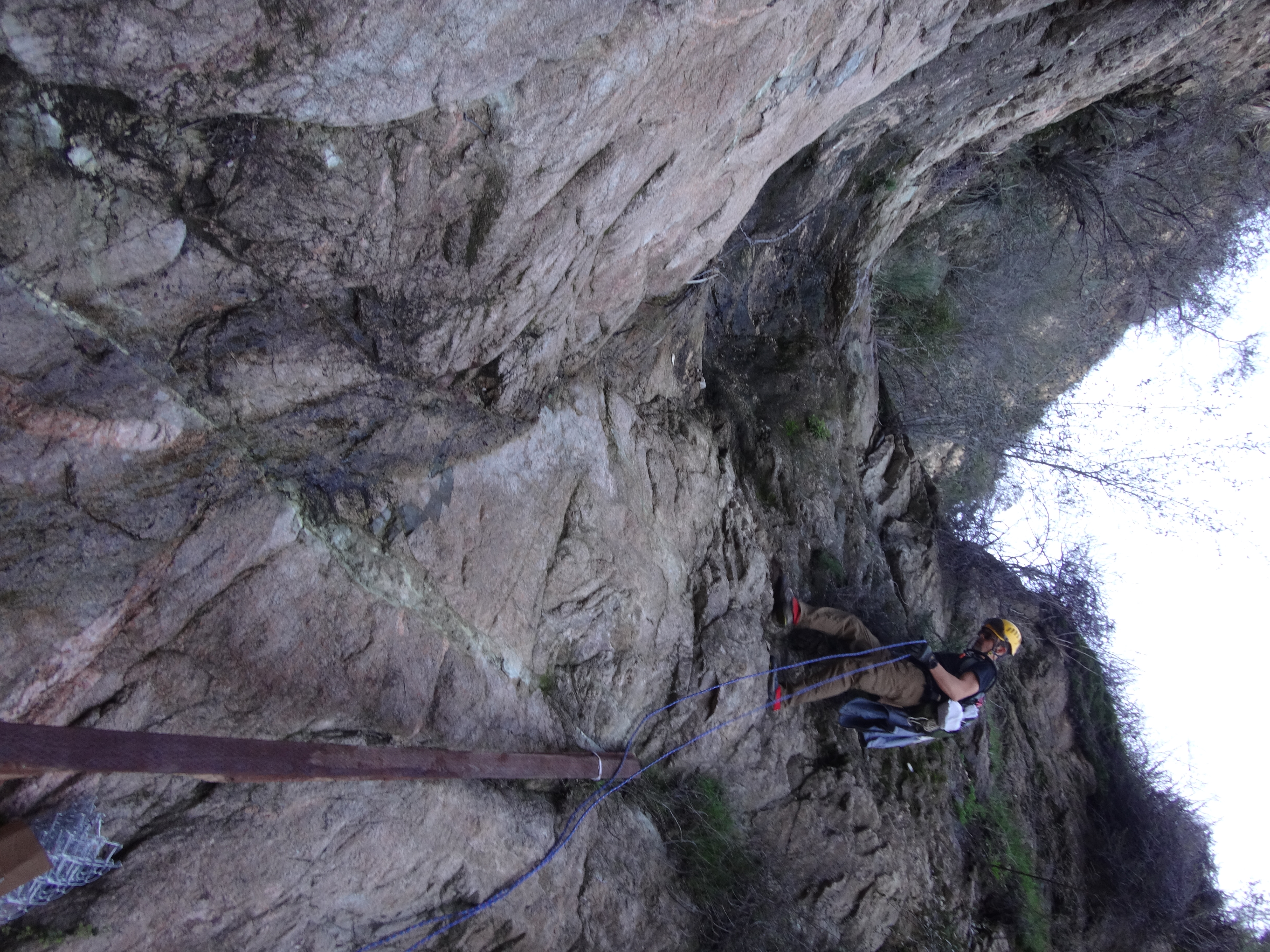
(Jeremiah climbing the waterfall.)
Once above the Surprise Mine waterfall, we had a rather easy, beautiful stretch through the middle part of the narrow canyon.
Then we arrived at a second mine next to a second major obstacle.
(Henry outside a mostly buried mine, between Surprise Mine and the SCE tractor trail.)
(Henry climbing the second big obstacle.)
We had to go straight up the middle of this second 15-foot waterfall, and straddle a little ribbon of water flowing. Jeremiah anchored a rope for us to use as an aid in case we slipped. But this class 3 work ended up being easier than the first one by Surprise Mine.
Soon after that we reached the restoration site and the trail crossing.
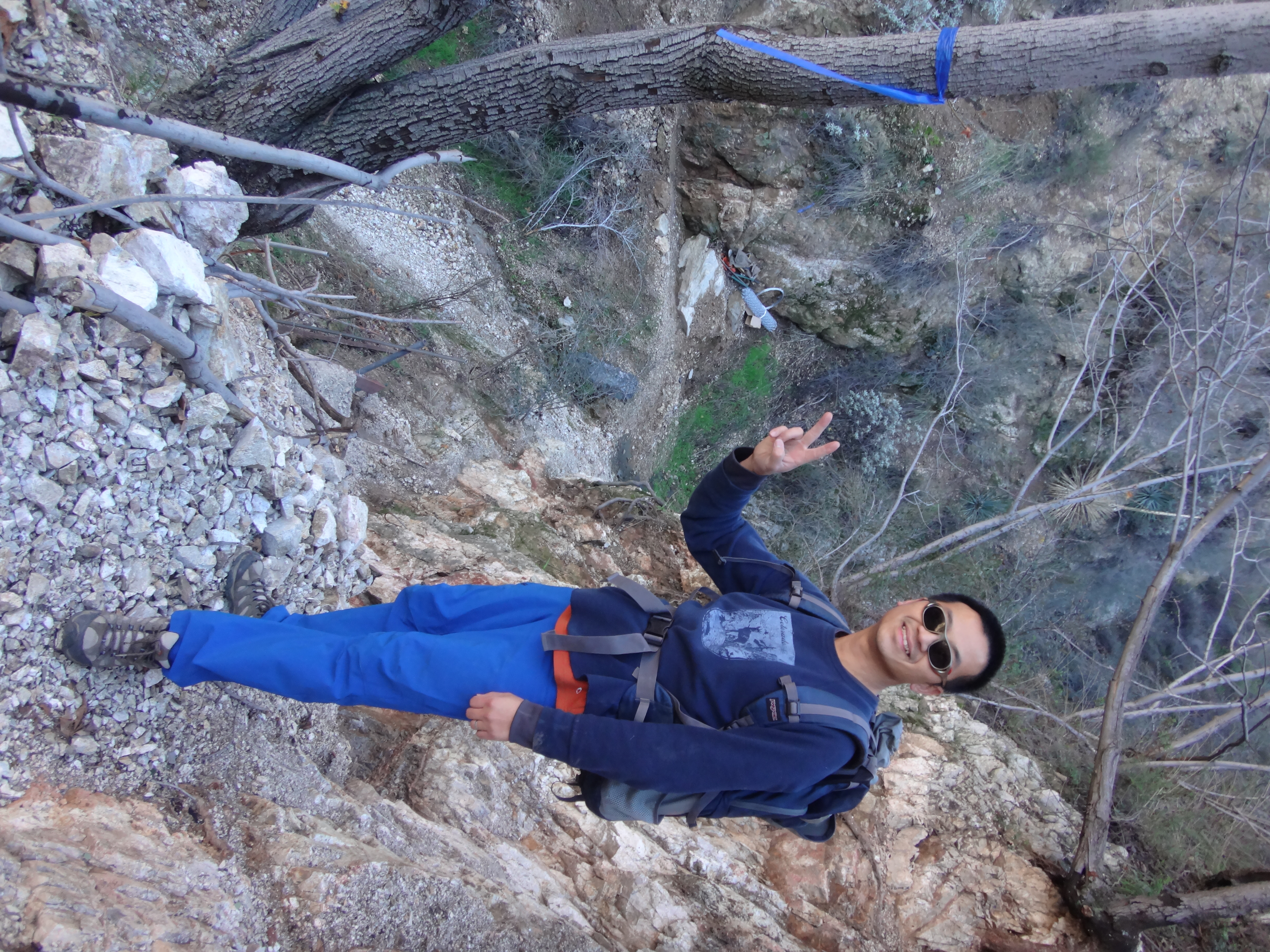
We deposited our loads and checked out the new trail work. The section heading back to the Pine Canyon water tank was pretty solid, with only one problem spot where rainfall had partially taken out the footpath. The trail going east from the crossing was still the toughest problem. There is little slope to work with on that side. But Jeremiah has put in support material to maintain a narrow, exposed, class 2 walkway and steps, leading up to a point where the road has survived.
After admiring the restored crossing, we headed east on the old road. It's still a little brushy with one minor washout. But mostly the route is in fair shape.
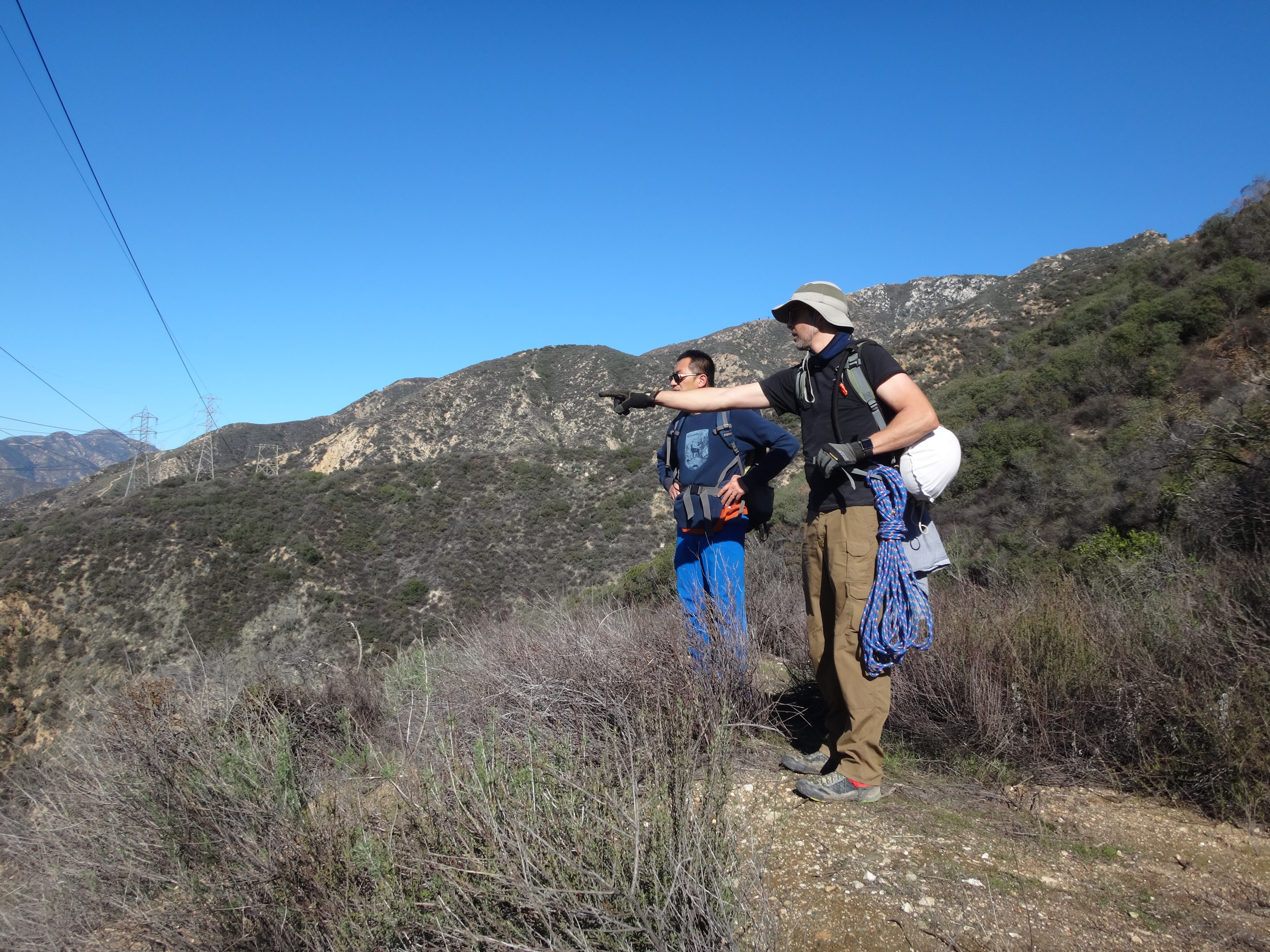
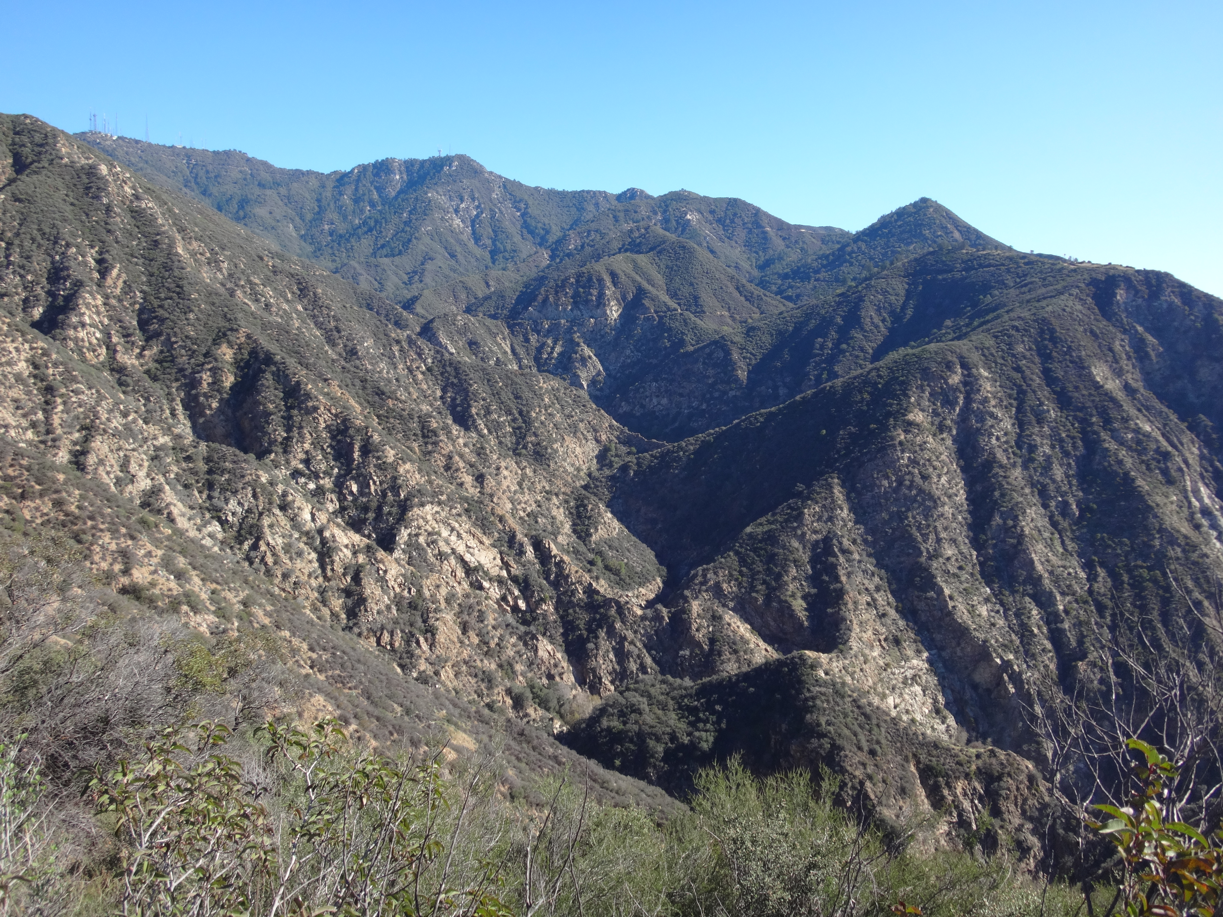
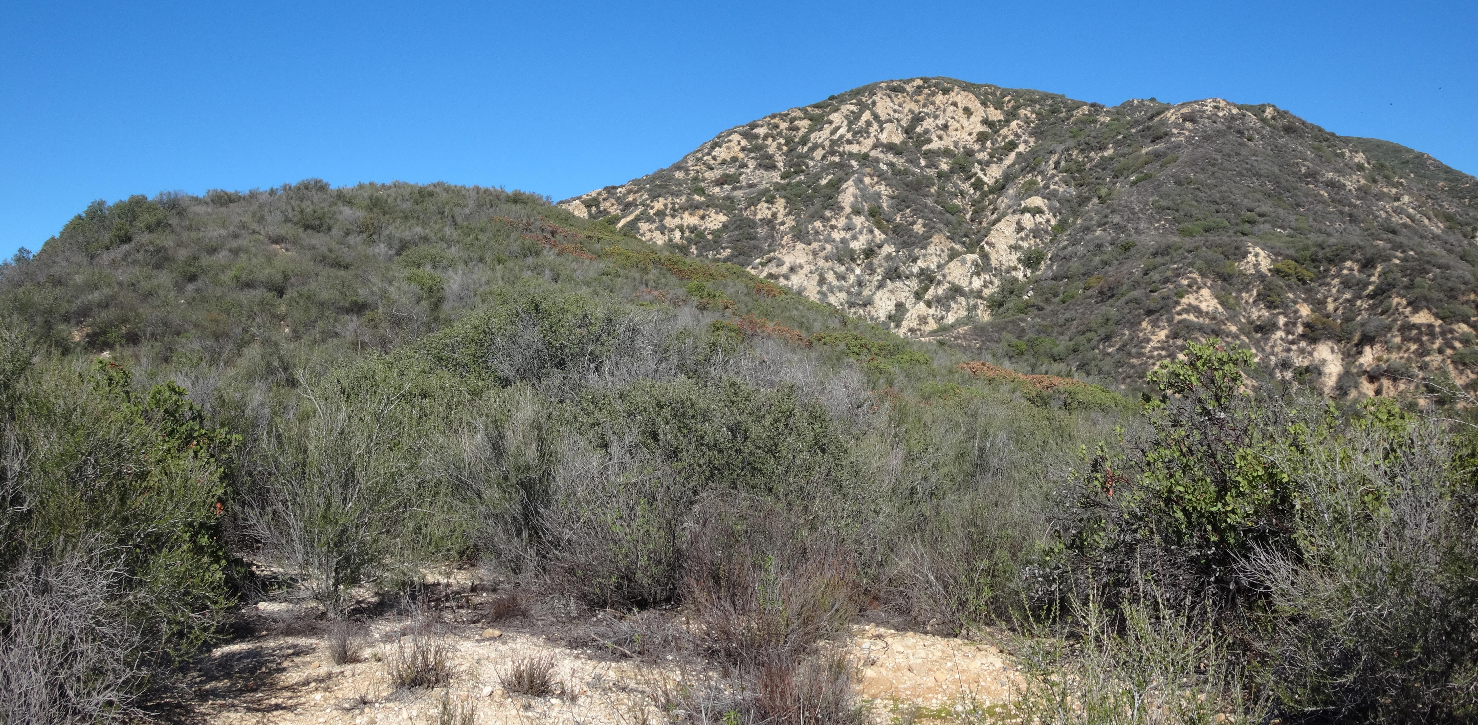
If you're a view-junkie like me, you'll want to get to the Eaton Canyon overlook point, which offers a great scene of the upper canyon including Wilson, Harvard, Yale, Fuji, Henninger Flat, and Razorback Ridge.
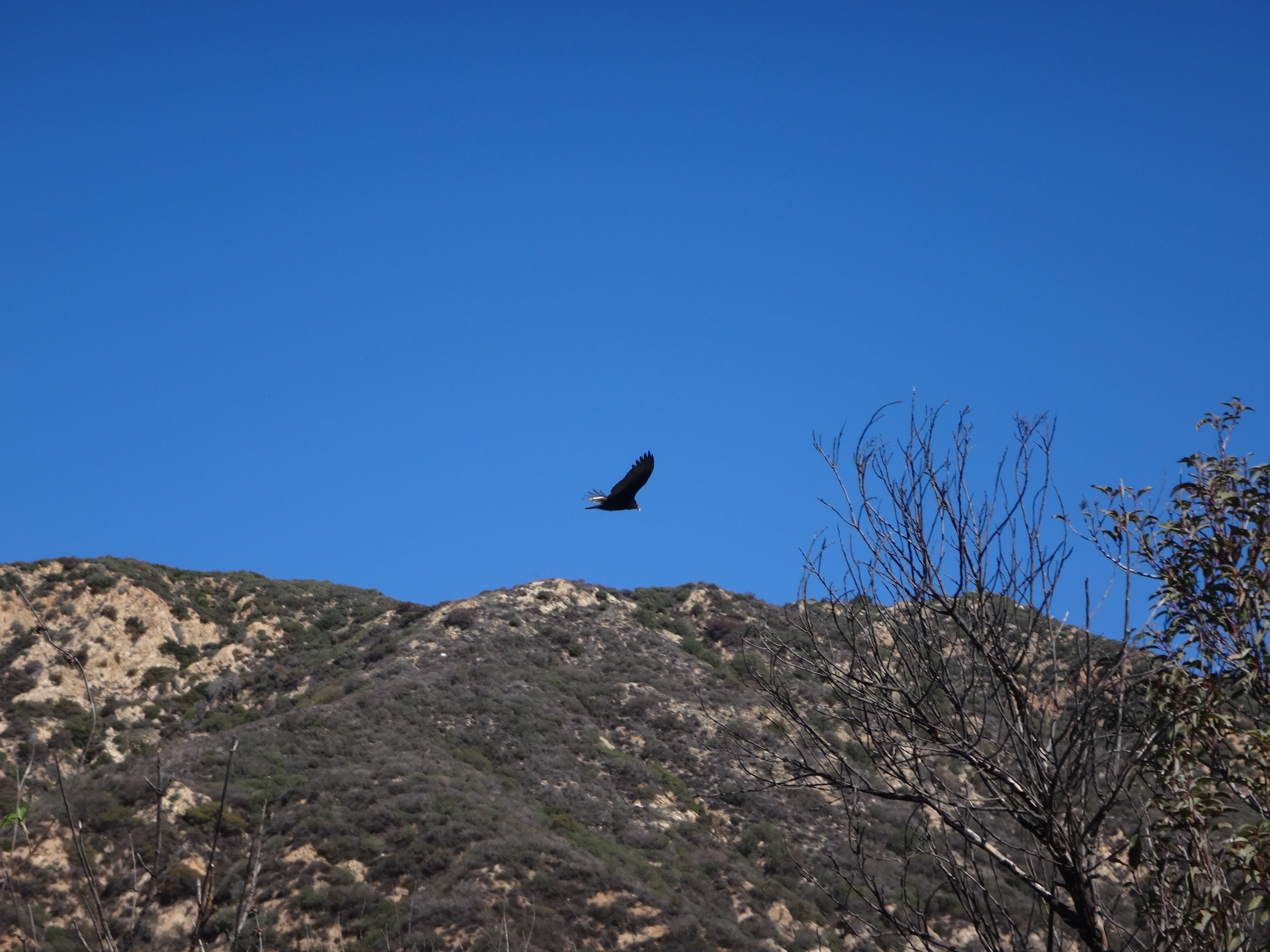
We were also treated to a close-up encounter with some birds of prey.
At the overlook area, there is another water tank, which we used for a lunch break.
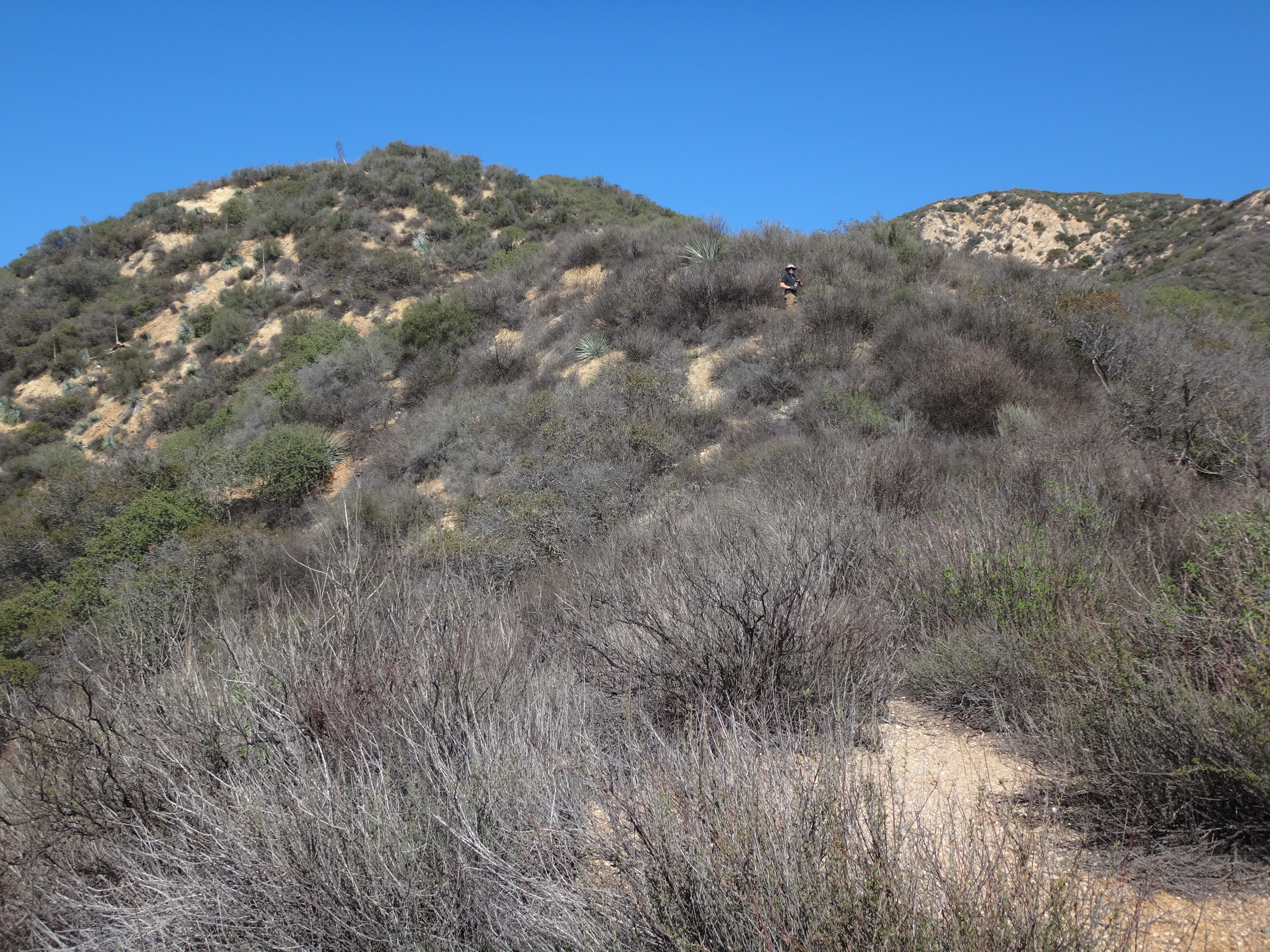
Then we dropped our packs and followed the ridge up about a quarter-mile to the Mt. Lowe benchmark.
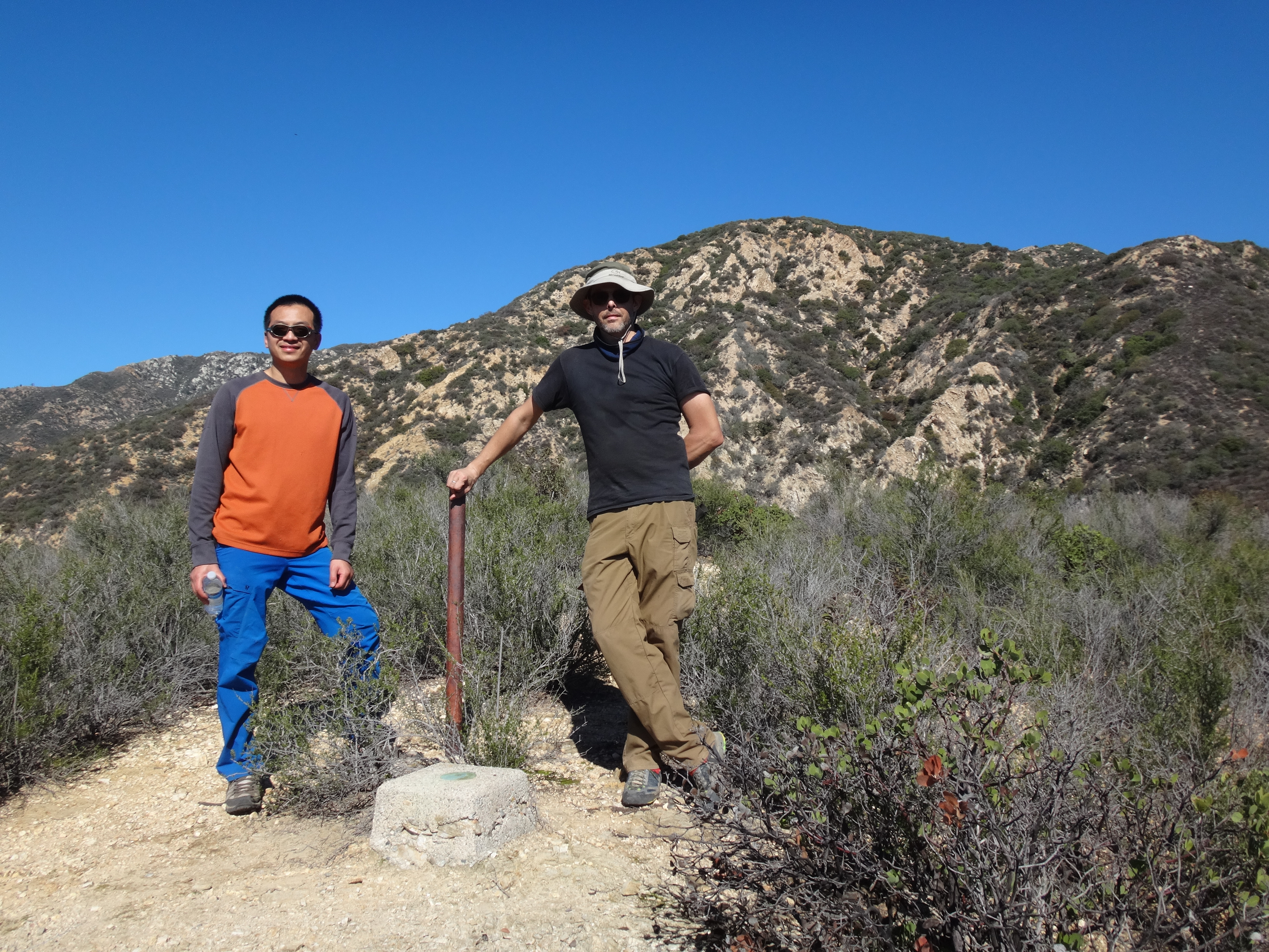
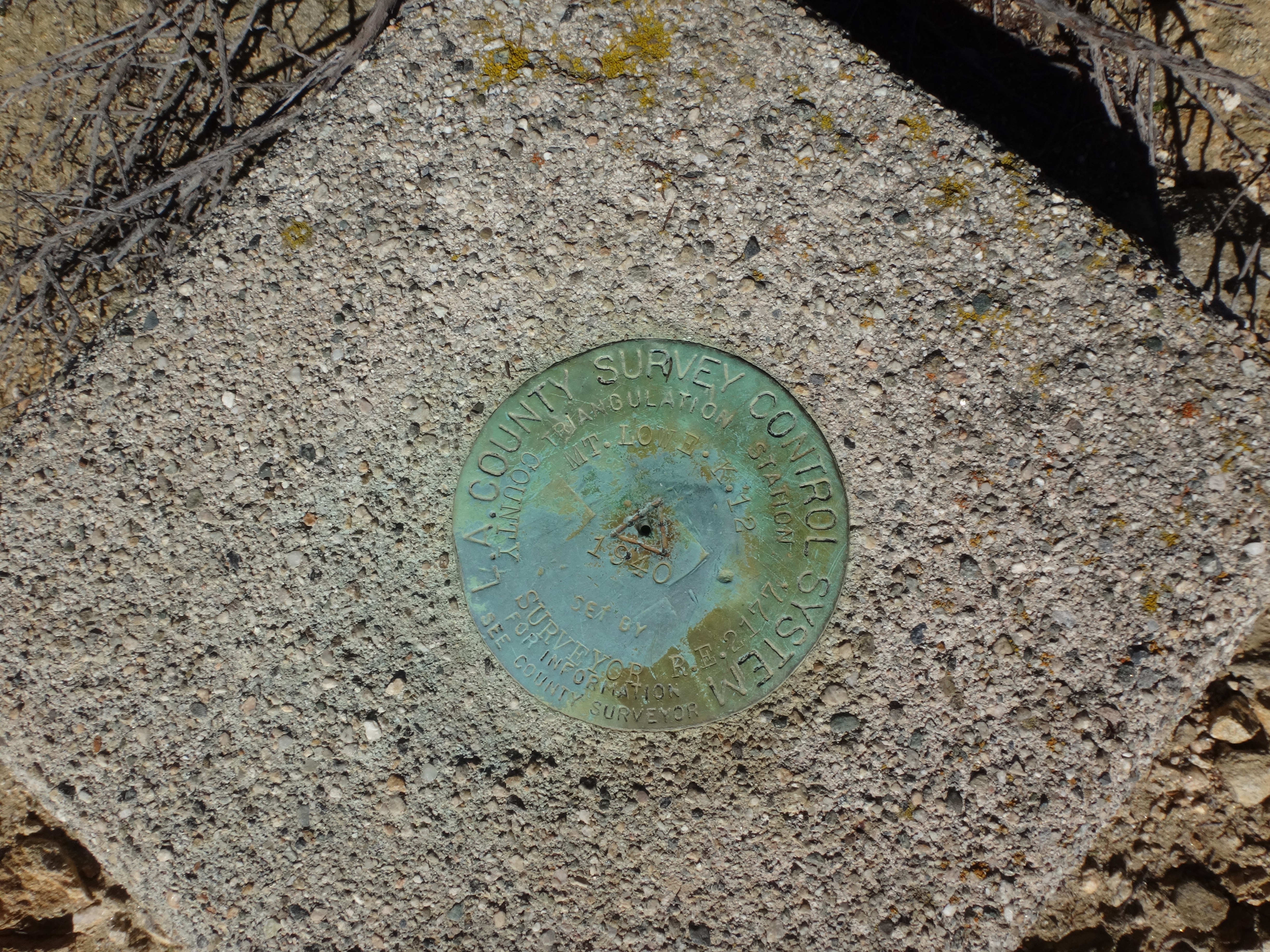
Both the benchmark and reference mark were well-monumented in concrete and marked with pipes in the ground. The triangulation station was created in 1940 by surveyors for the county.
Out of time and motivation, we took a final look around, identified a few landmarks around West Fuji, which could be seen up the ridge a bit, and then started back down the ridge.