This would be Cecelia's first time in Sequoia, and my first time since a childhood visit to the General Sherman Tree.
We woke early Saturday and had a long drive to the Mineral King ranger station.
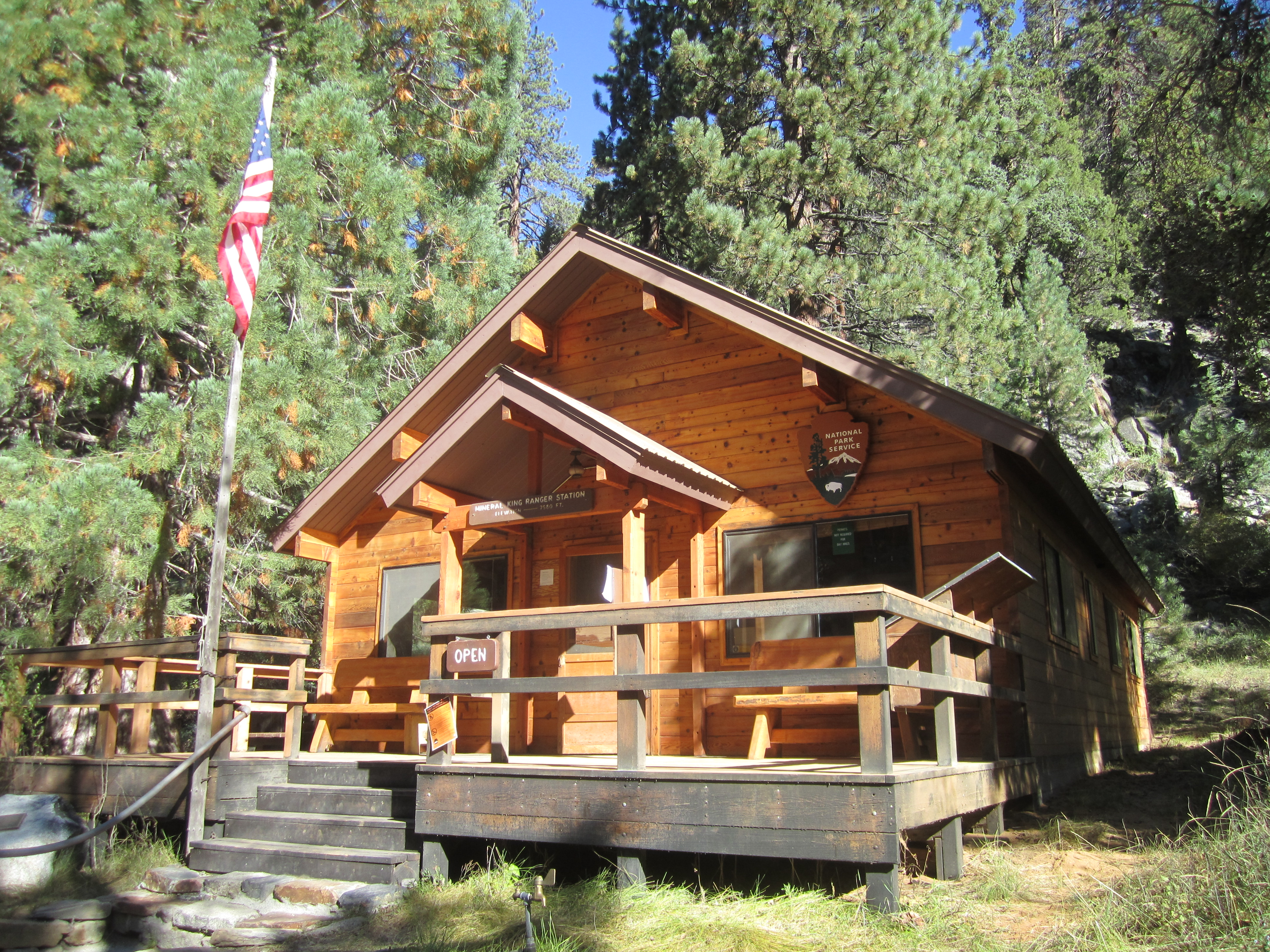
Arriving around 9am, we picked up the permit and bought a detailed topo map of the area. Wasting little time, we parked at the Sawtooth Pass Trailhead and prepared for our three-day outing.
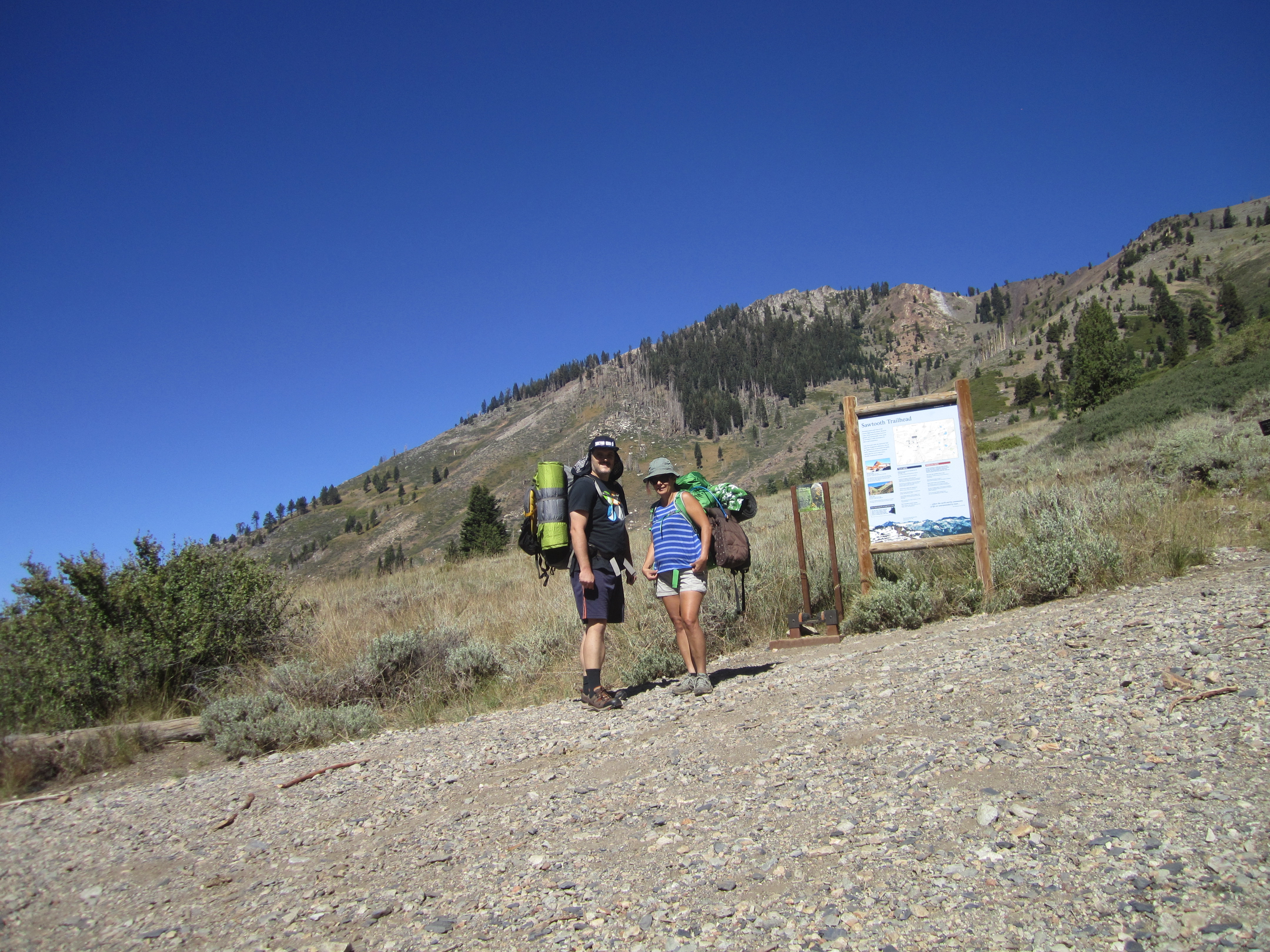
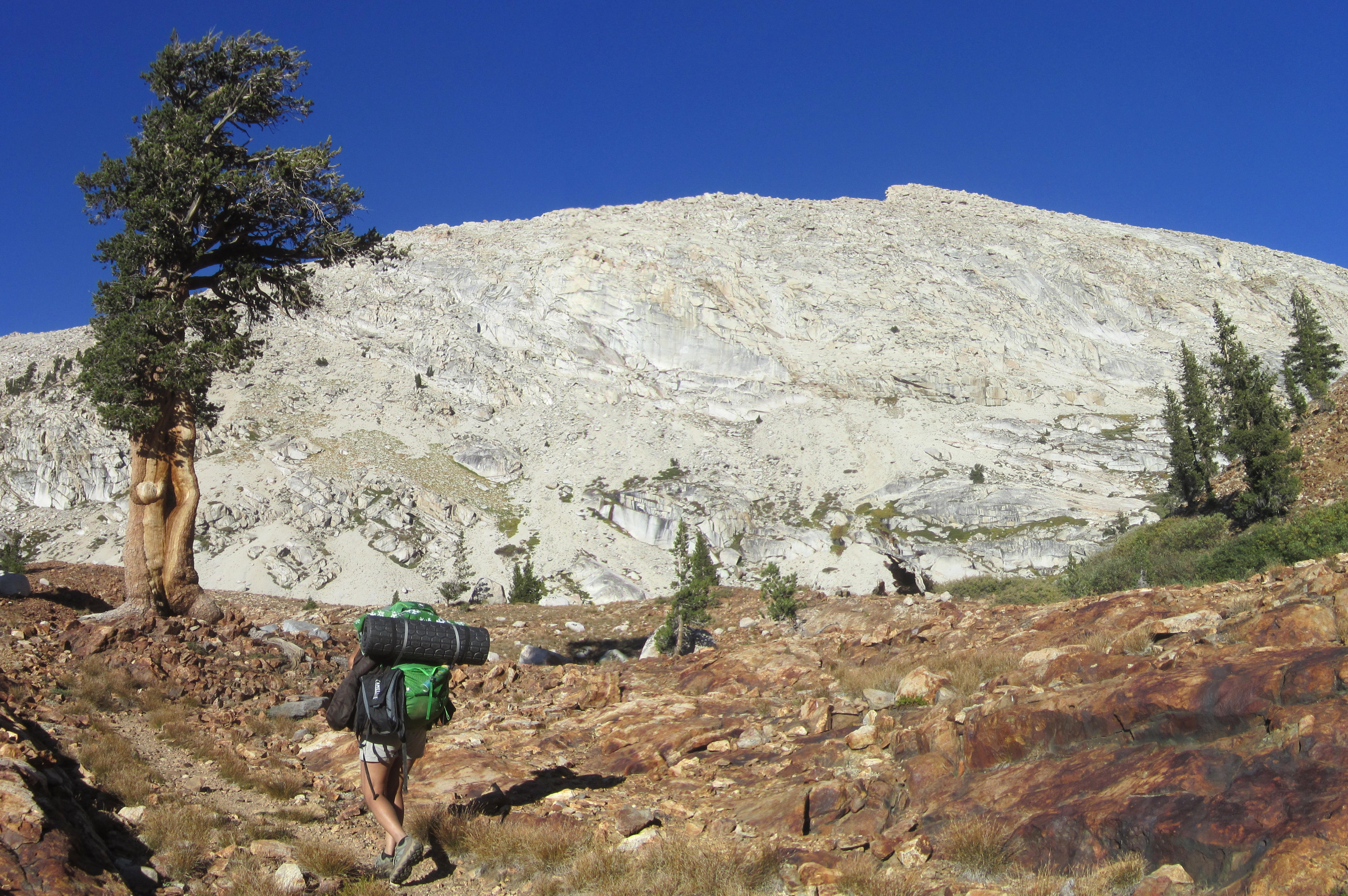
This was Cecelia's first time lugging a heavy backpack in the Sierras. So we took our time and took several breaks to catch our breath and enjoy the amazing scenery.
About a mile and a half in, we stopped at Groundhog Meadow. Another trail split off to the left, apparently called "Hell's Trail."
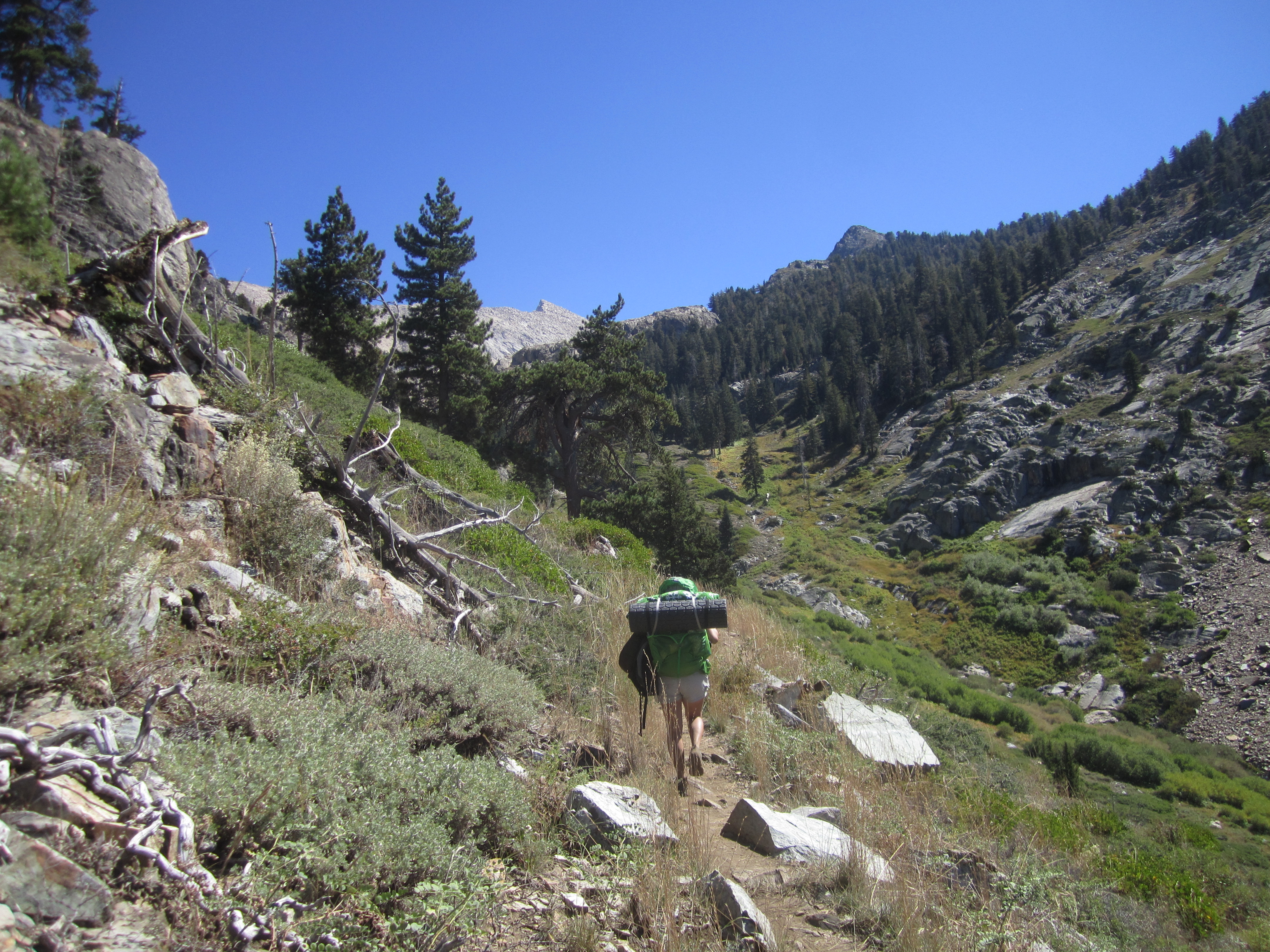
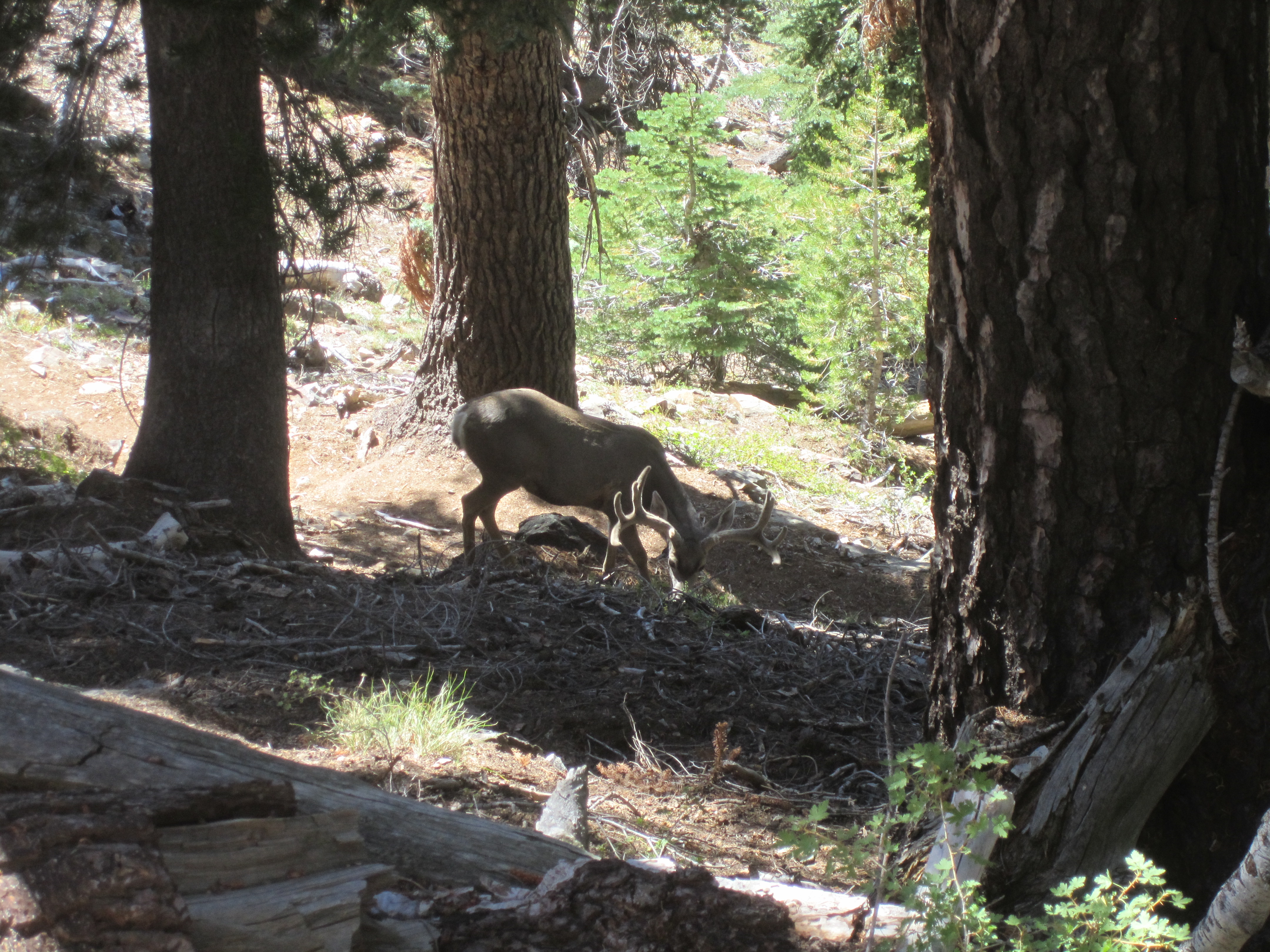
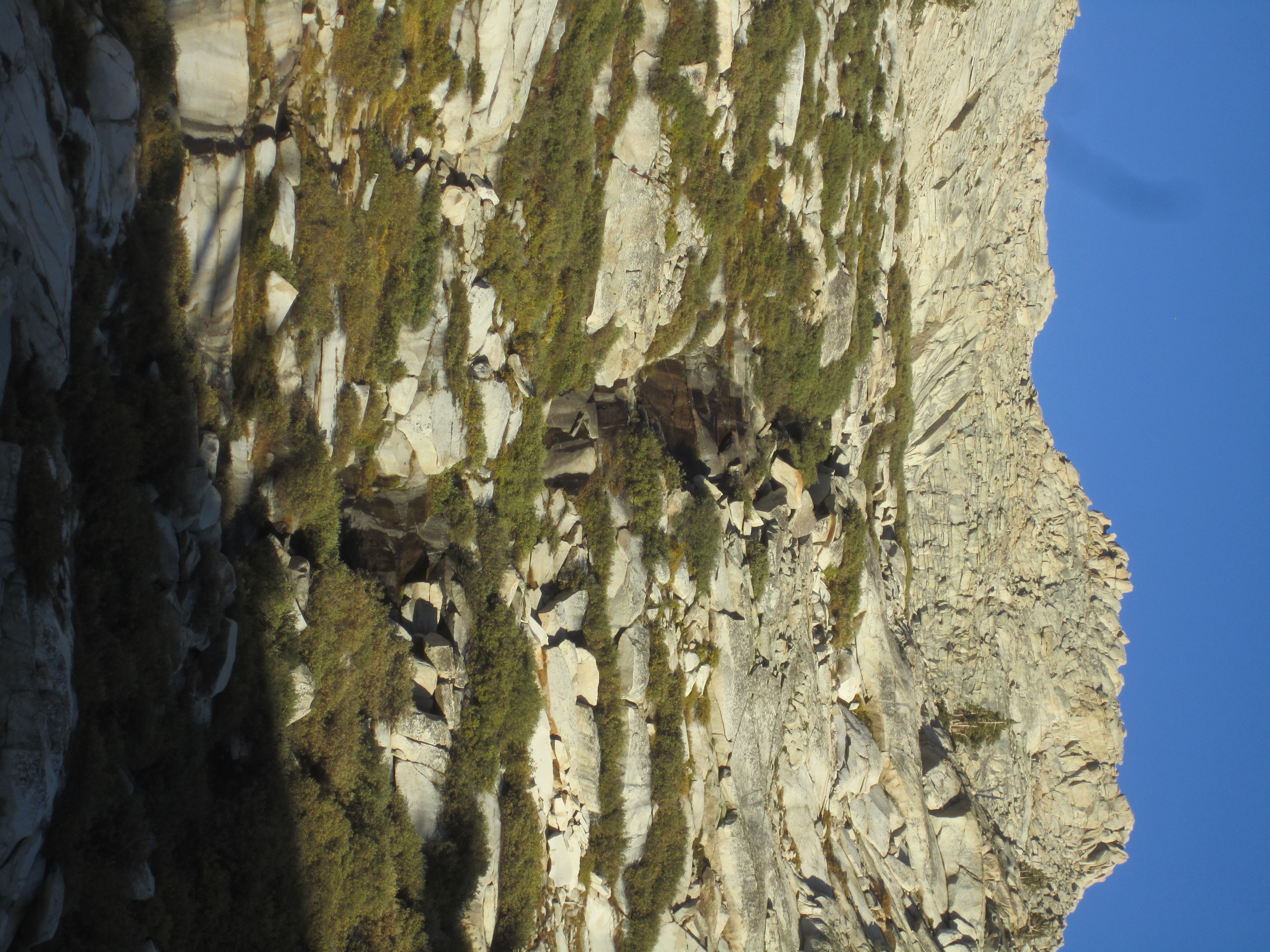
At the stream crossing we refilled water bottles and started up the many switchbacks above Groundhog Meadow. In here we saw a grazing buck.
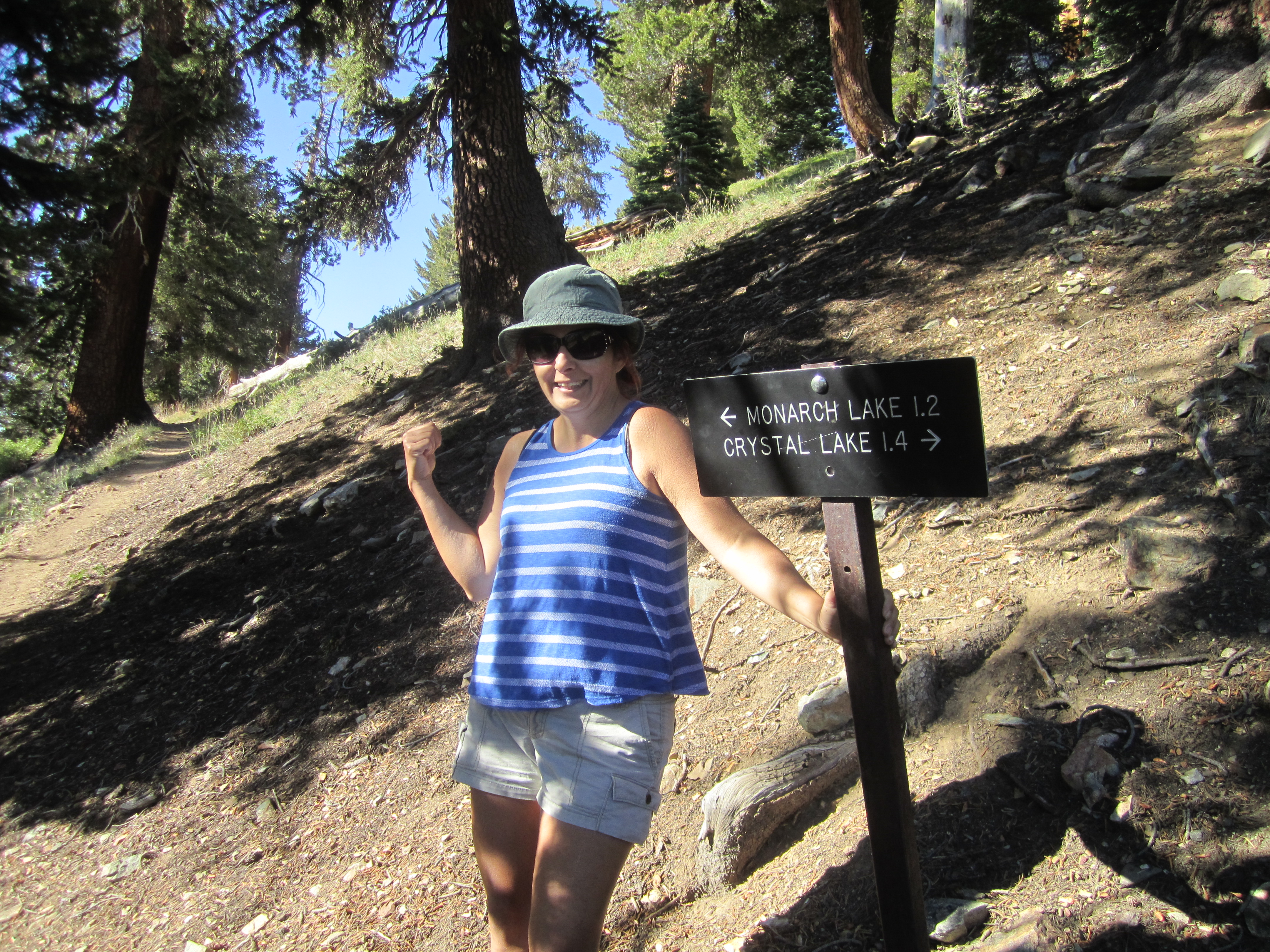
After a couple miles of the tree-shaded switchbacks, we reached the junction with the Crystal Lake Trail. It looked a little rough, at least in the beginning. Our route, however, continued on the main trail, in the direction of Monarch Lakes.
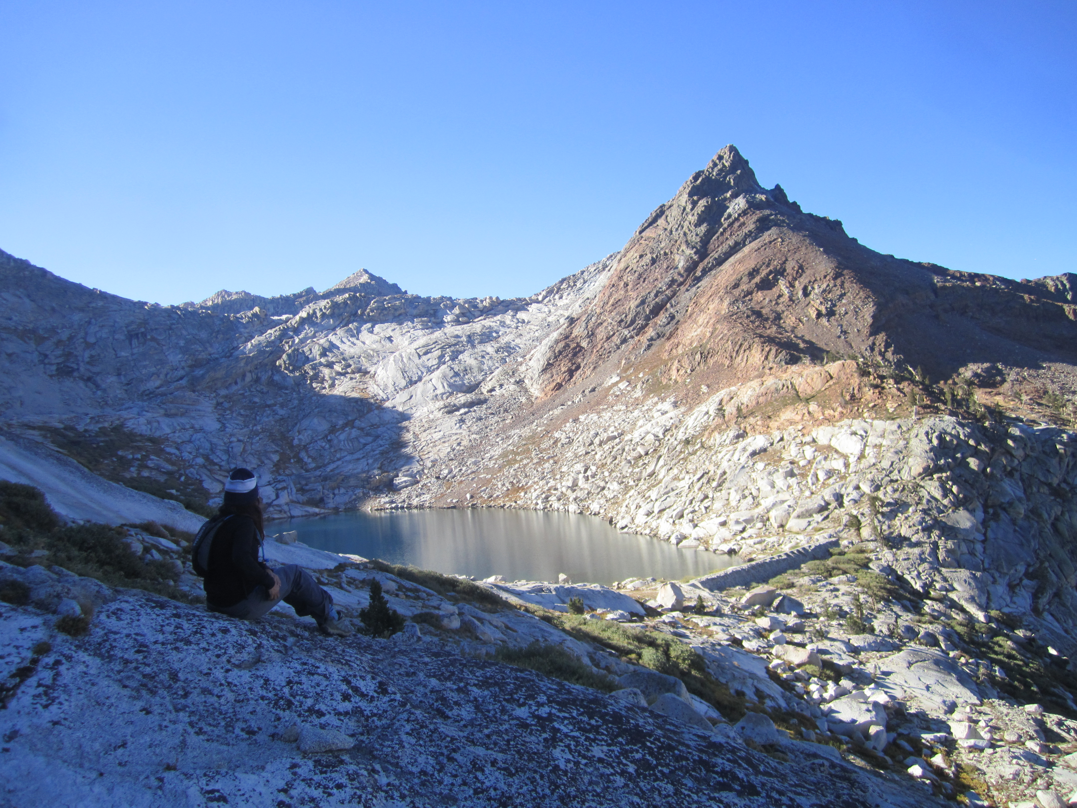
We started a long contour back to the exposed slopes of the Monarch drainage, where the broad, white face of Sawtooth Peak awaited our arrival.
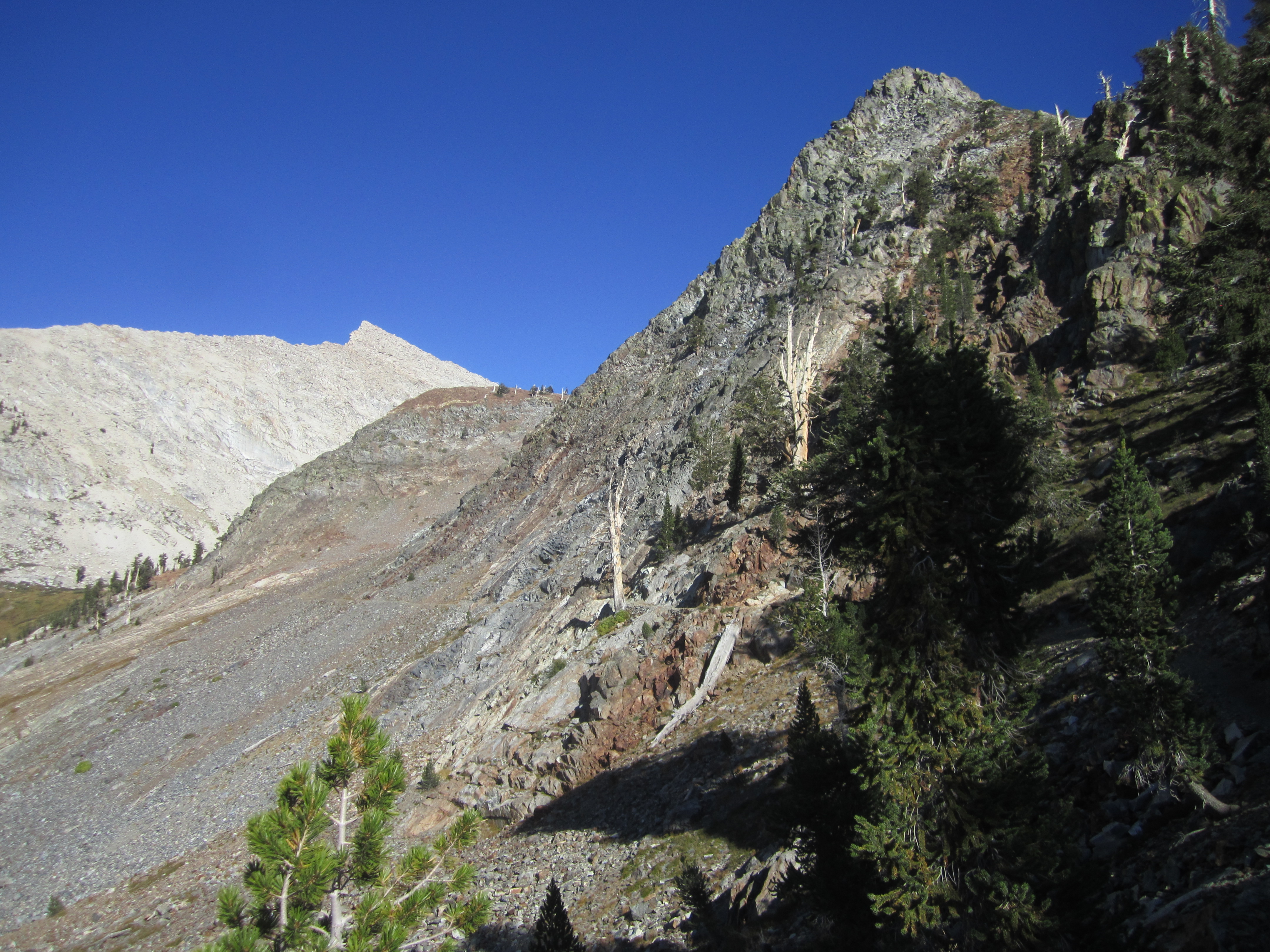
But first we had to cross the metamorphic scree along Mineral Peak's northern slopes.
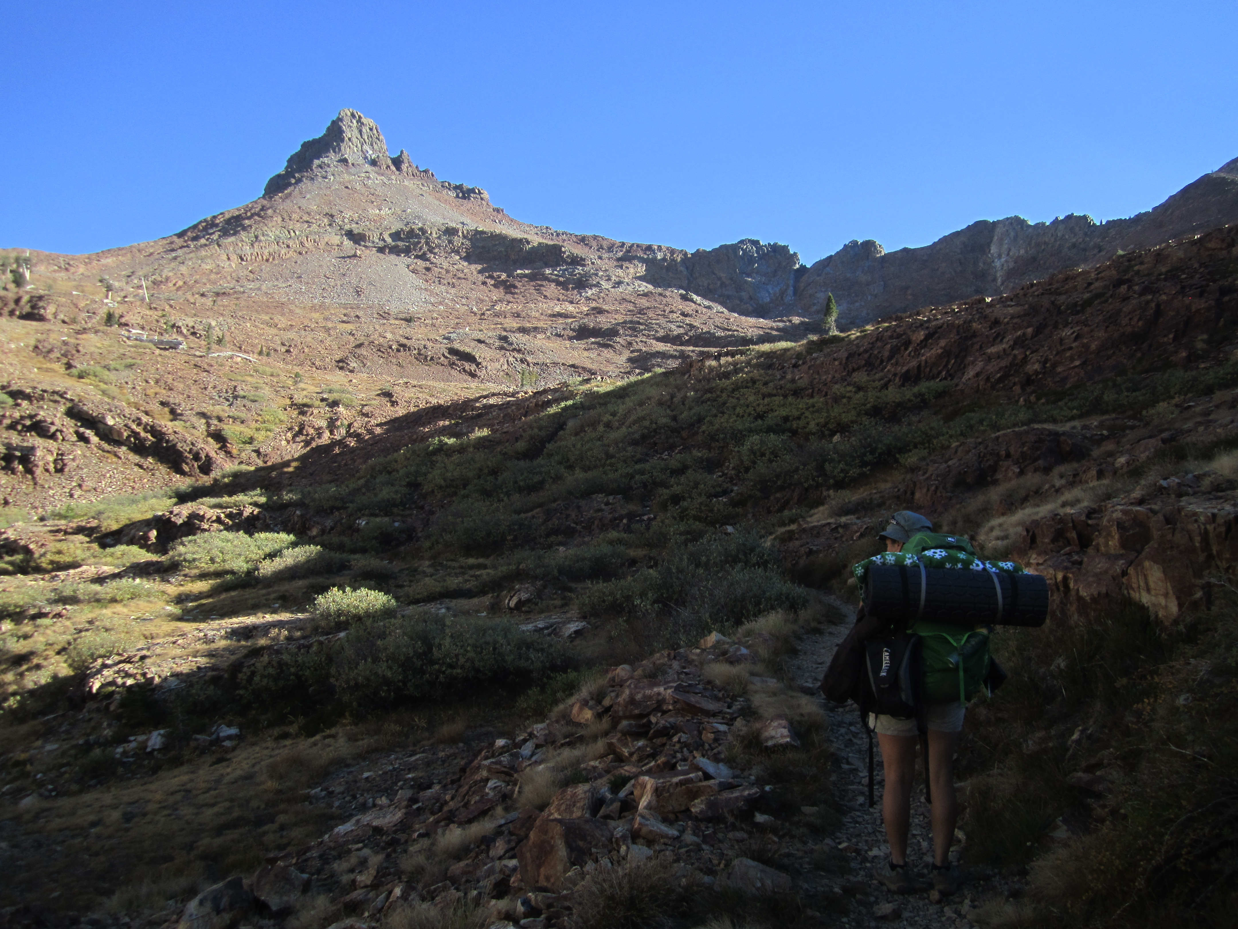
Mineral Peak appeared as an alluring tower of red rock, singing out to me like a terrible siren, "Drop everything and come forth to paradise!" But, alas, I resisted the call. That adventure would have to wait.
Resetting my focus on Sawtooth,
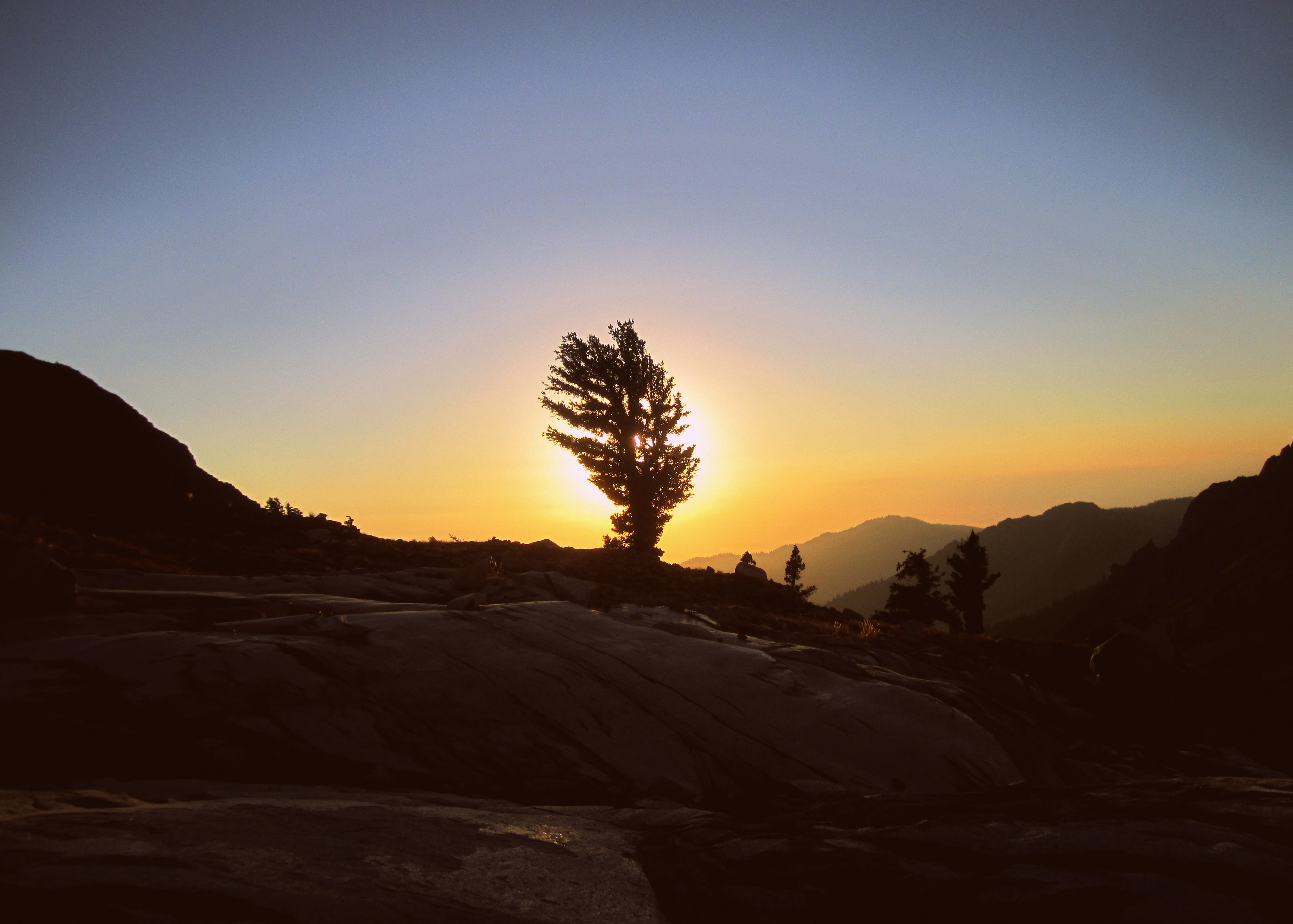
we finally emerged at Lower Monarch Lake and set up camp.

We enjoyed dinner and a sunset.
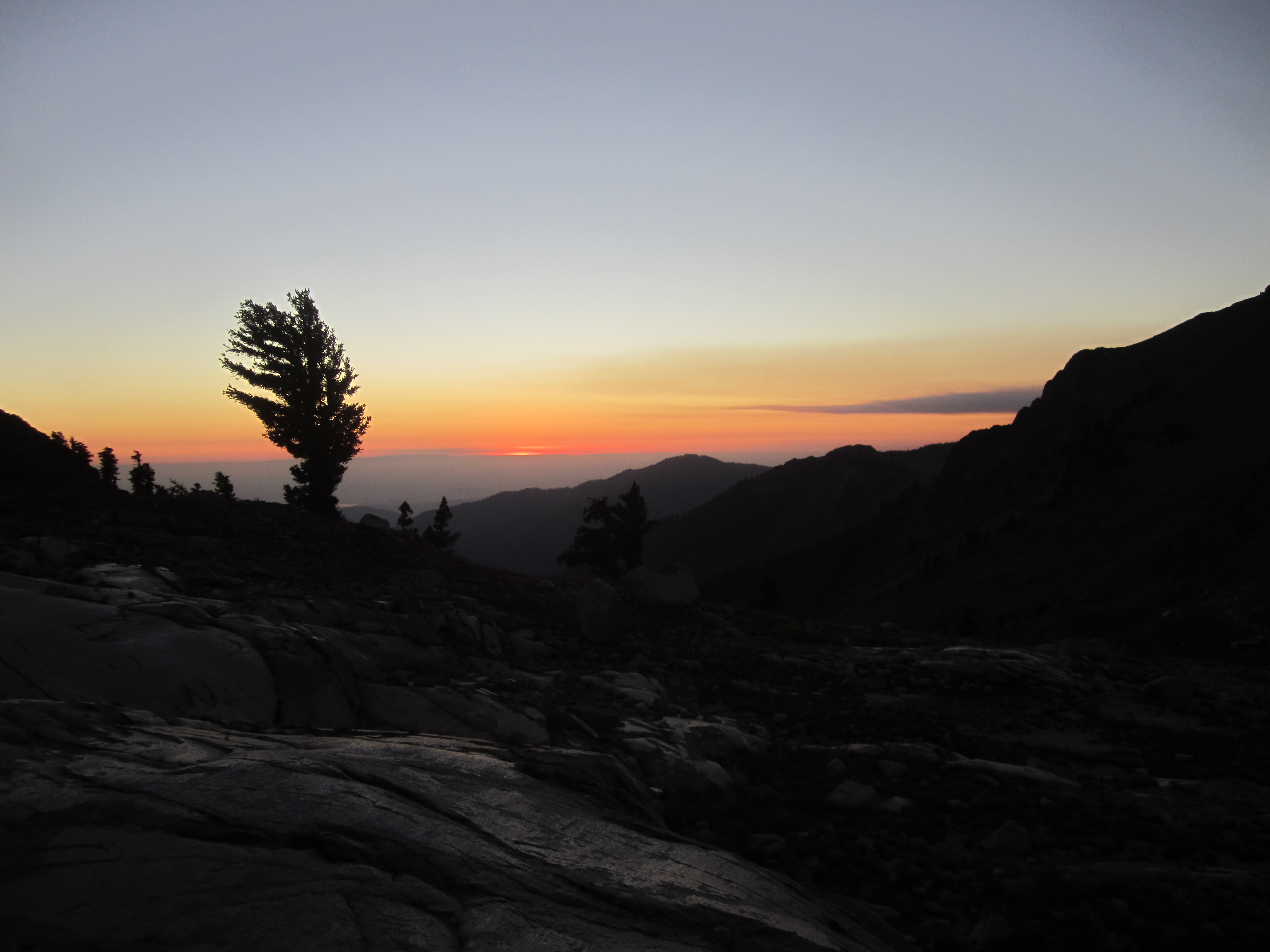
Then it was time to get some rest for a sunrise start the next morning.
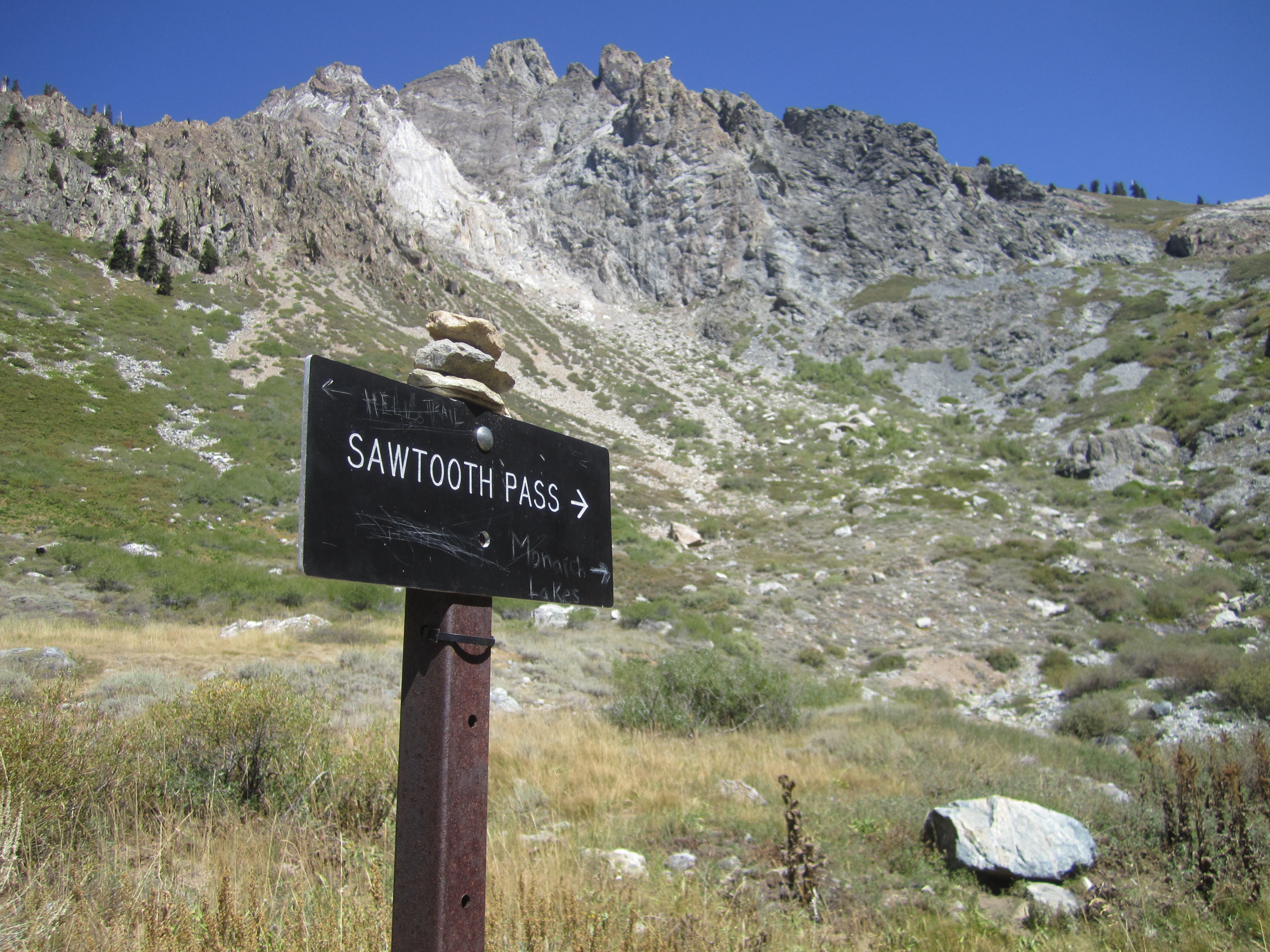
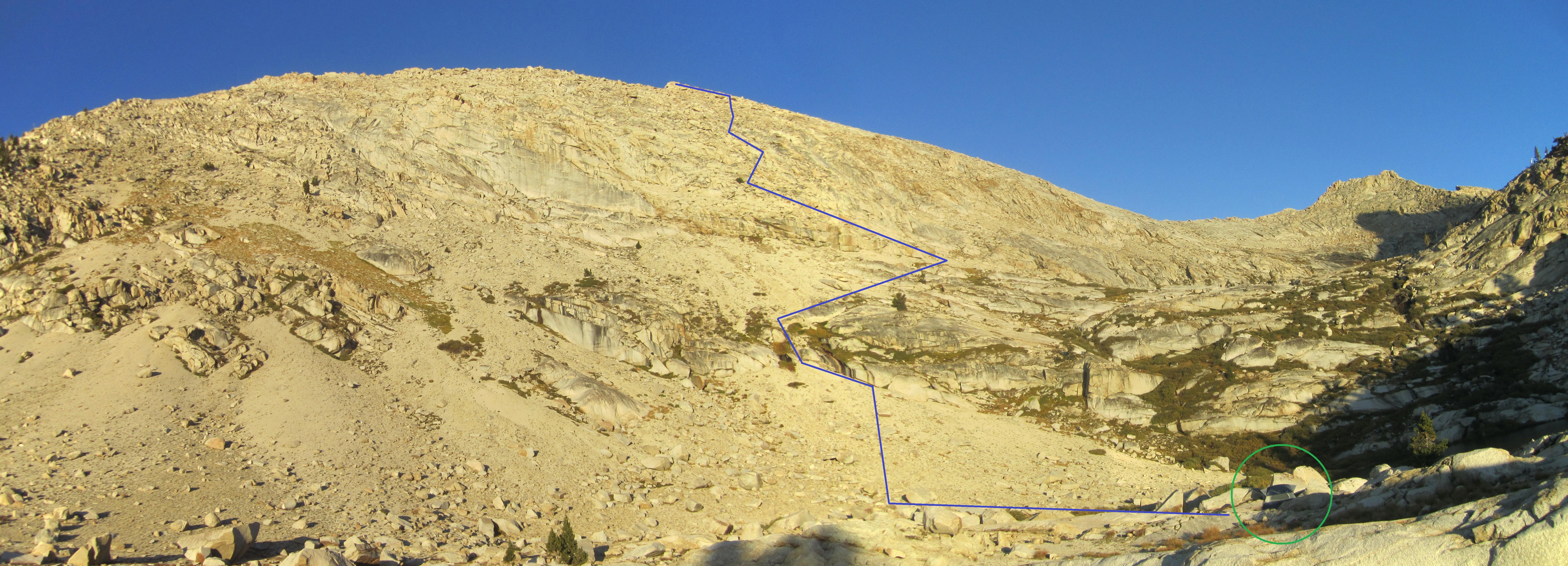
The original plan was to climb to Upper Monarch Lake, take the south ridge to Sawtooth, and descend the typical route through Sawtooth Pass back to camp, thus forming a little loop. But I failed to realize that there was a decent use trail to the upper lake, so instead we scrambled up a slope left of the trail through lots of sand and some class 3 rocks.
By the time we got a view of Upper Monarch, we were already too high up on the west face of Sawtooth.
So rather than trying to traverse to the south ridge, we took a look up the west face and decided to give it a go.
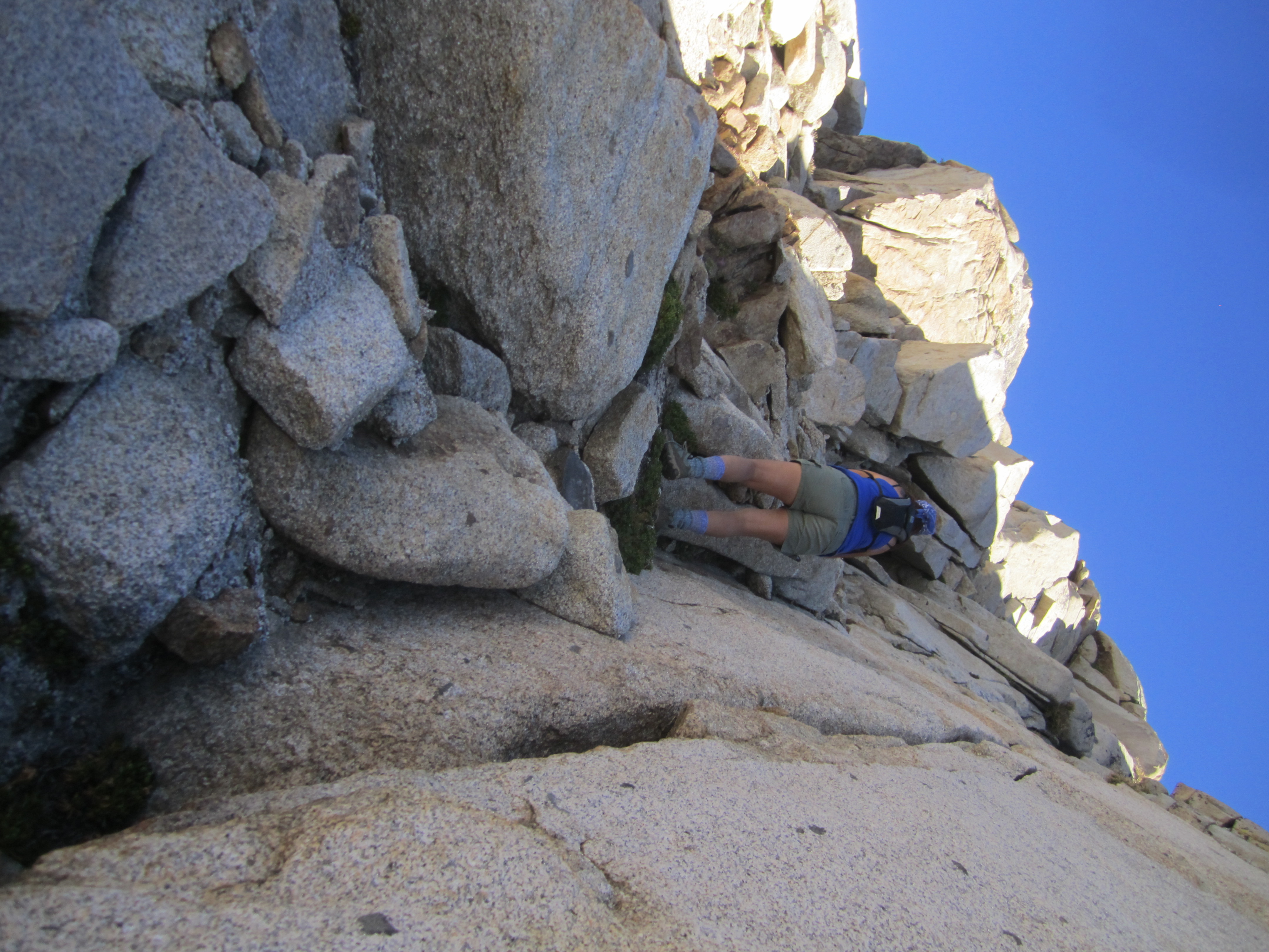
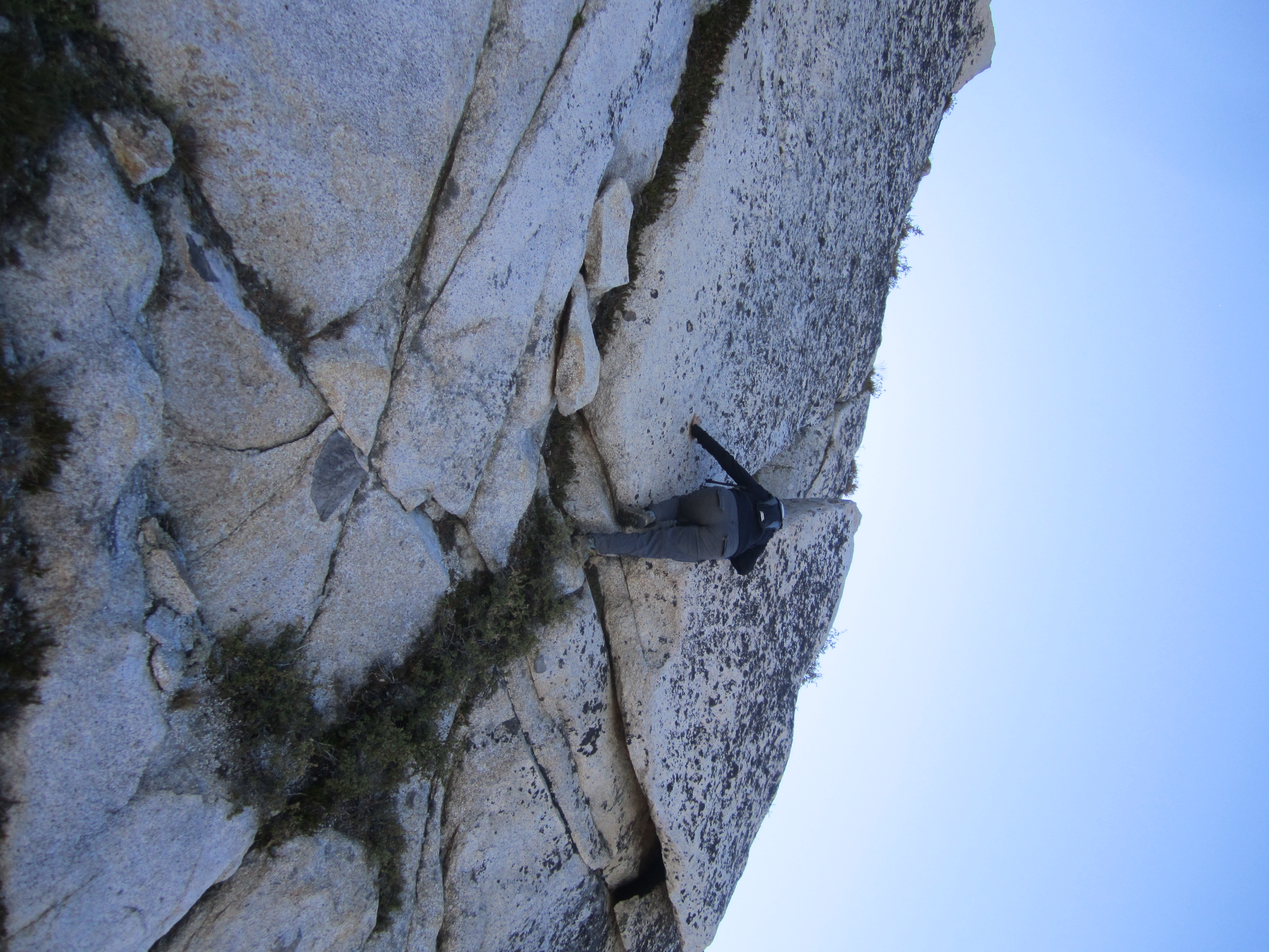
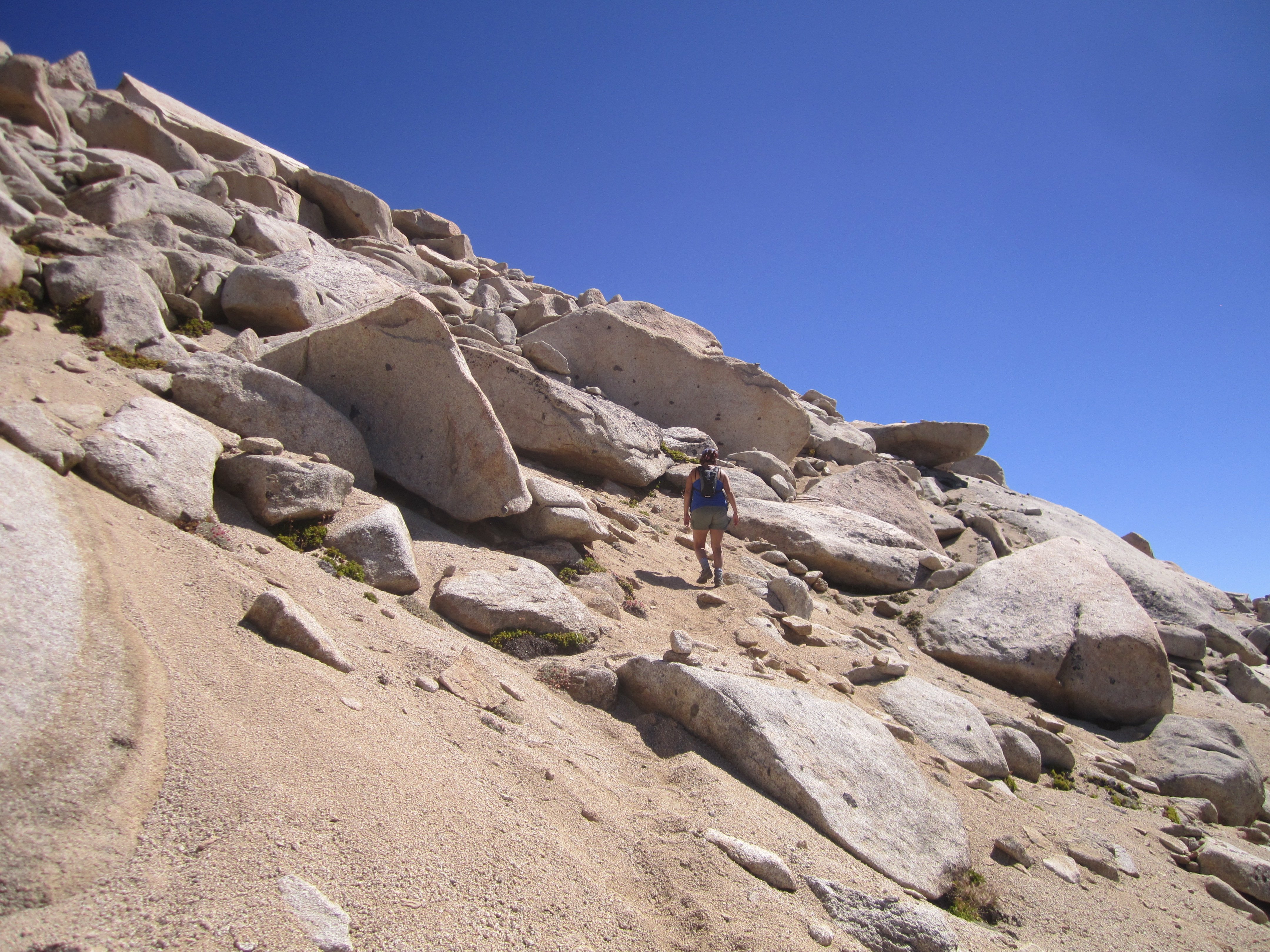
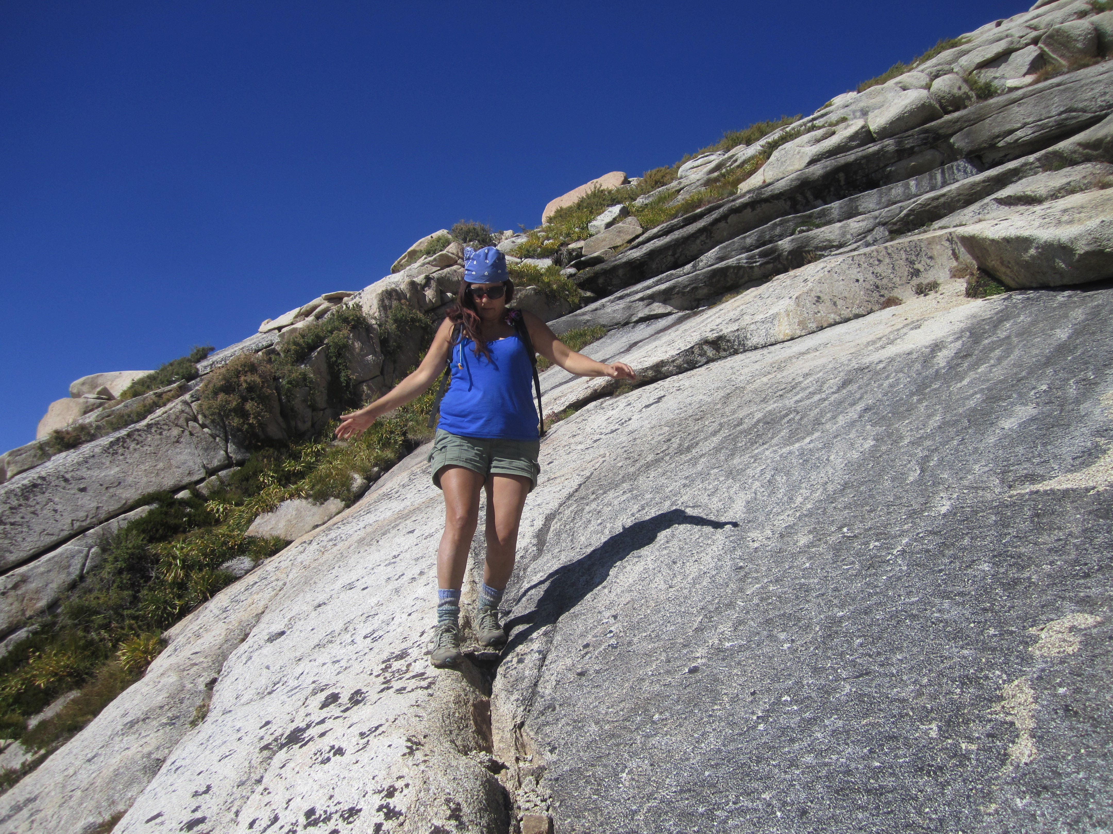
We zigged a little and zagged a little more, often struggling up mucho sando.
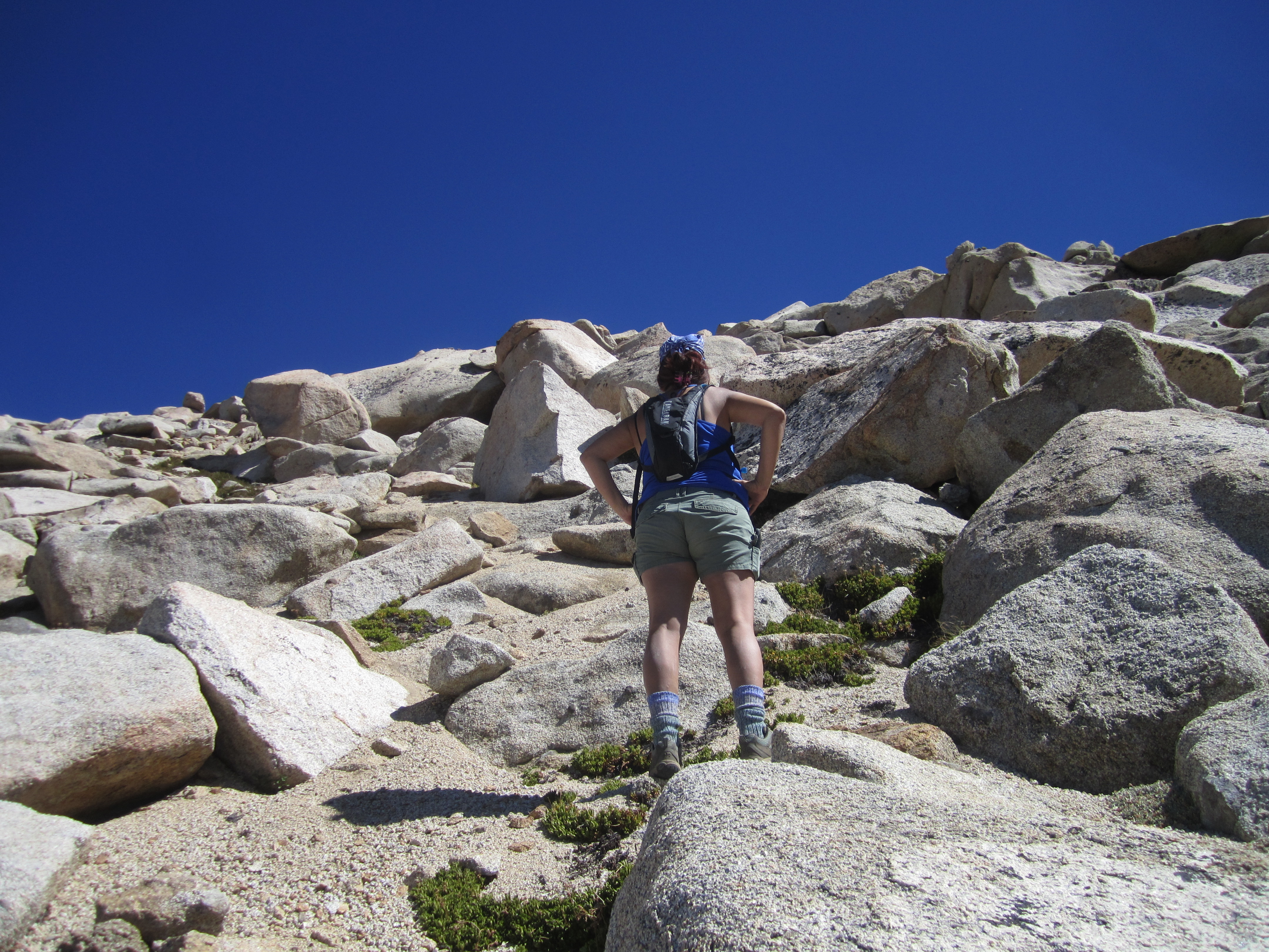
There are a few sheer sections of the face that normal human beings will want to avoid. But it wasn't too hard finding a class 3 route over/around the more rocky areas.

About two-thirds of the way up we encountered another hiking party, coming down from the summit. They had lost the cairned, Sawtooth Pass route and had dropped too low. They were a little surprised to find out that we had not come from the pass, but straight up from Lower Monarch Lake. After sending them back up to the route, we soon bumped into the cairns ourselves and started following the main route.
It wasn't long before we were scrambling around the top, looking for a way onto the summit block.
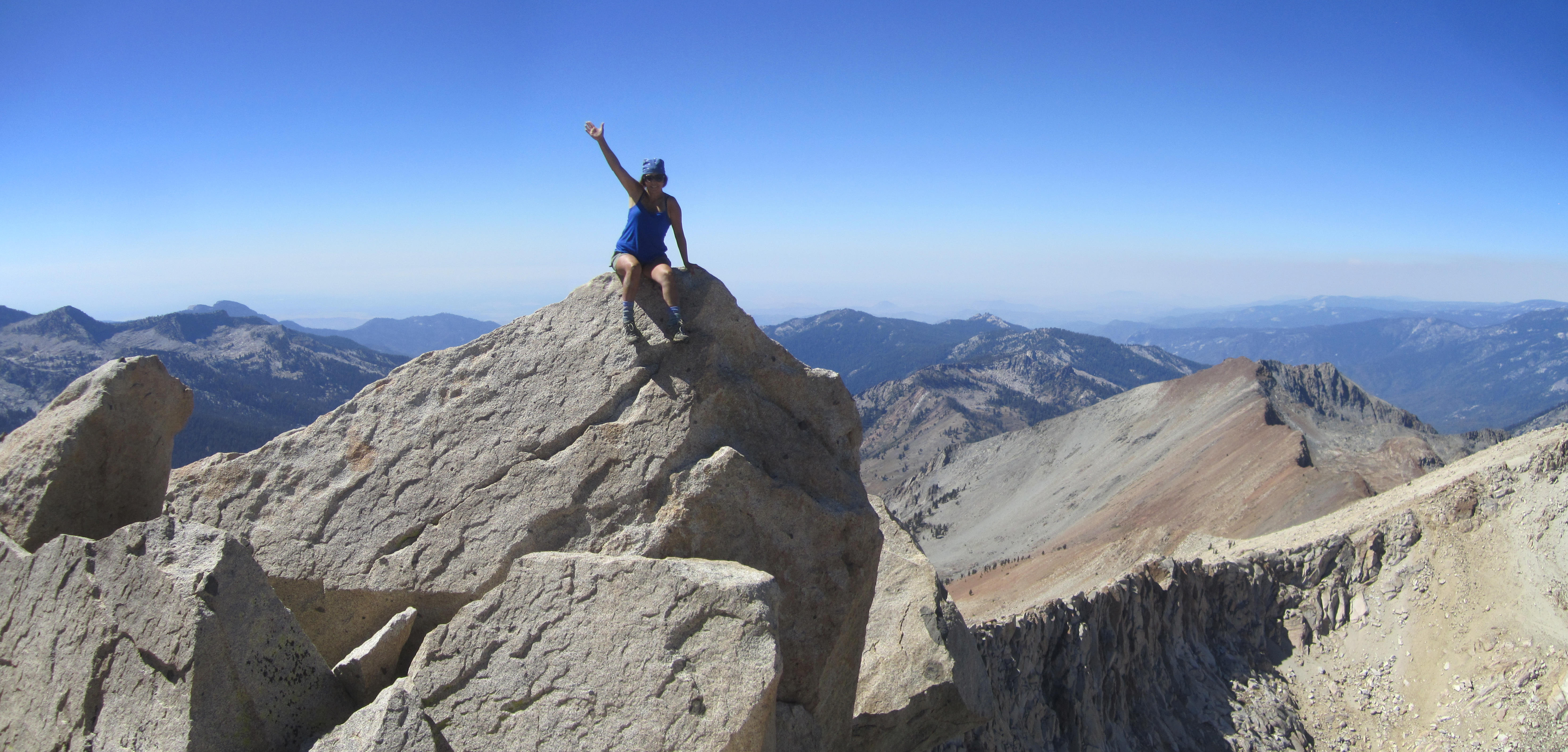
It's a fairly easy class 3 scramble to and on the block, but there is some bad exposure, and the block itself is very narrow, safely allowing only one person at a time.
We took the obligatory selfie.
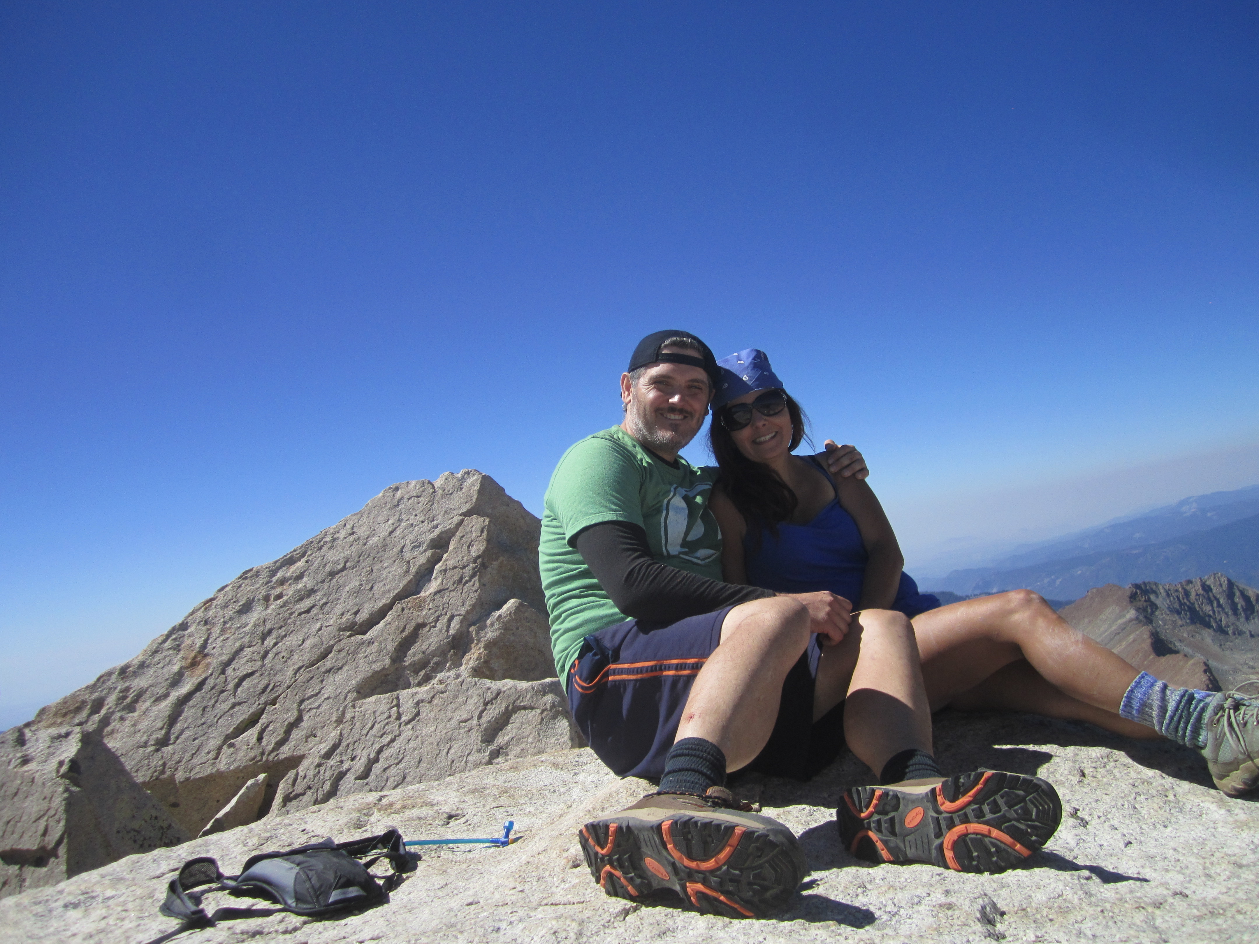
Then we scrambled back around to the west side of the block, where the register can is located.
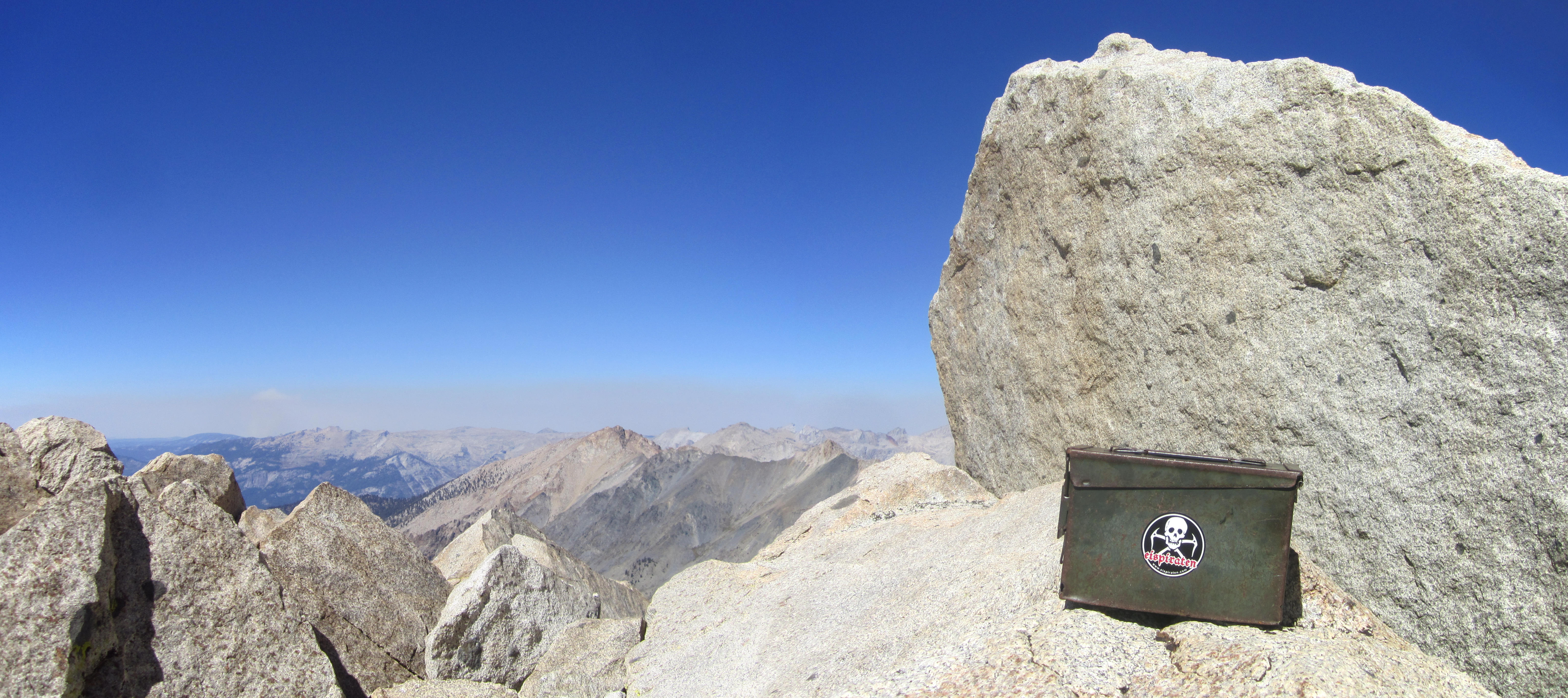
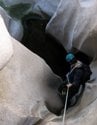
There was a new register with few entries. Somebody had dropped the old register between two big boulders. It was about eight feet down a narrow space. It was weathered but still intact. Unfortunately, I couldn't think of a way to retrieve it.
We had collected seven heart-shaped rocks and left them in the register box as a memorial to the Keyhole Seven, some of whom I knew personally and had hiked with several times.
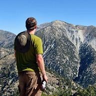
We then took in the views again.
(Needham Peak and Amphitheater Lake)
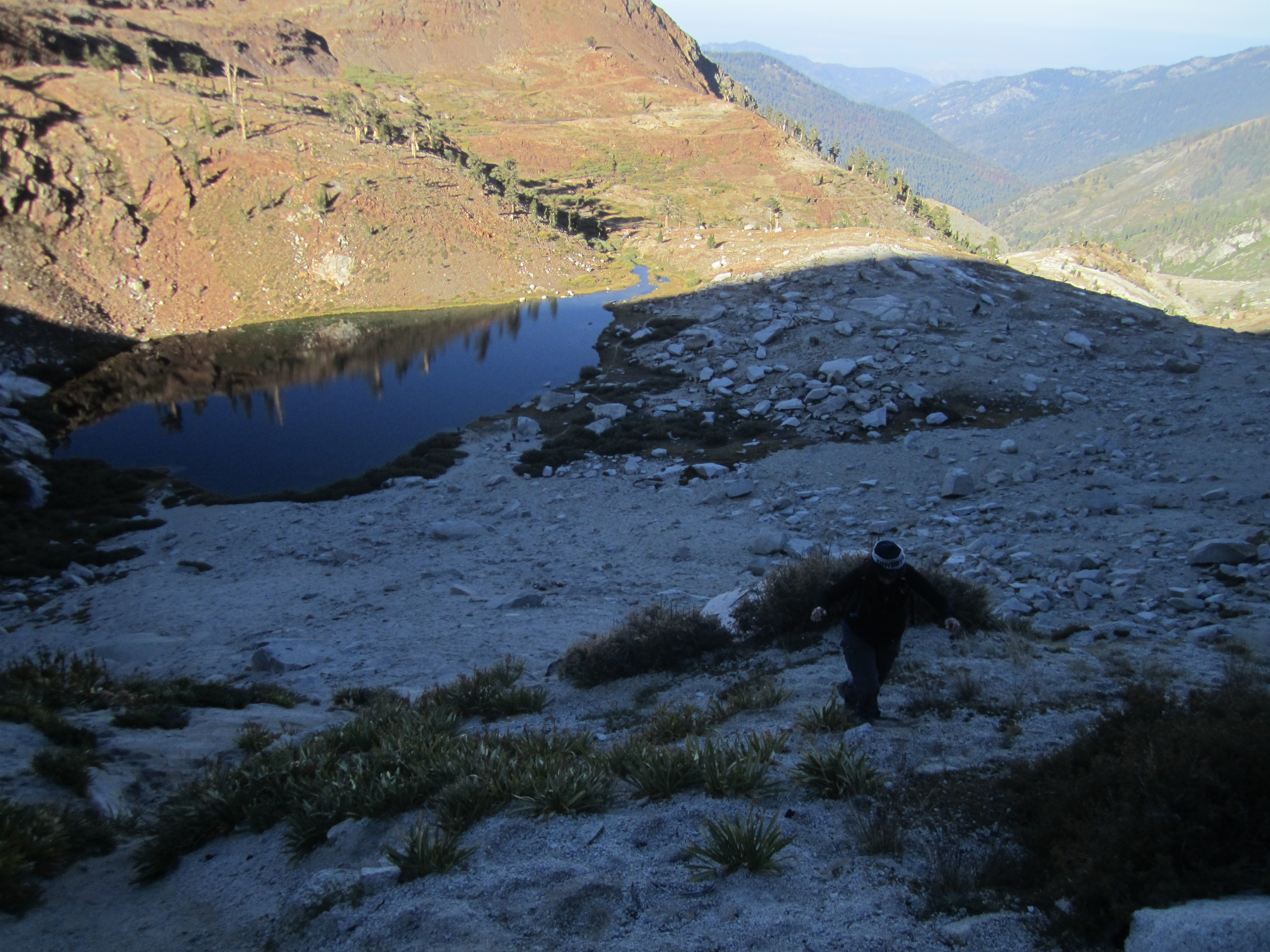
It was already the afternoon, so we departed and headed toward the south ridge and Upper Monarch Lake. The descent was relatively easy, but had a few fun sections.
(Sliding down the sandy south ridge of Sawtooth)
(Enjoying the vegetation.)
(Taking the slab highway.)
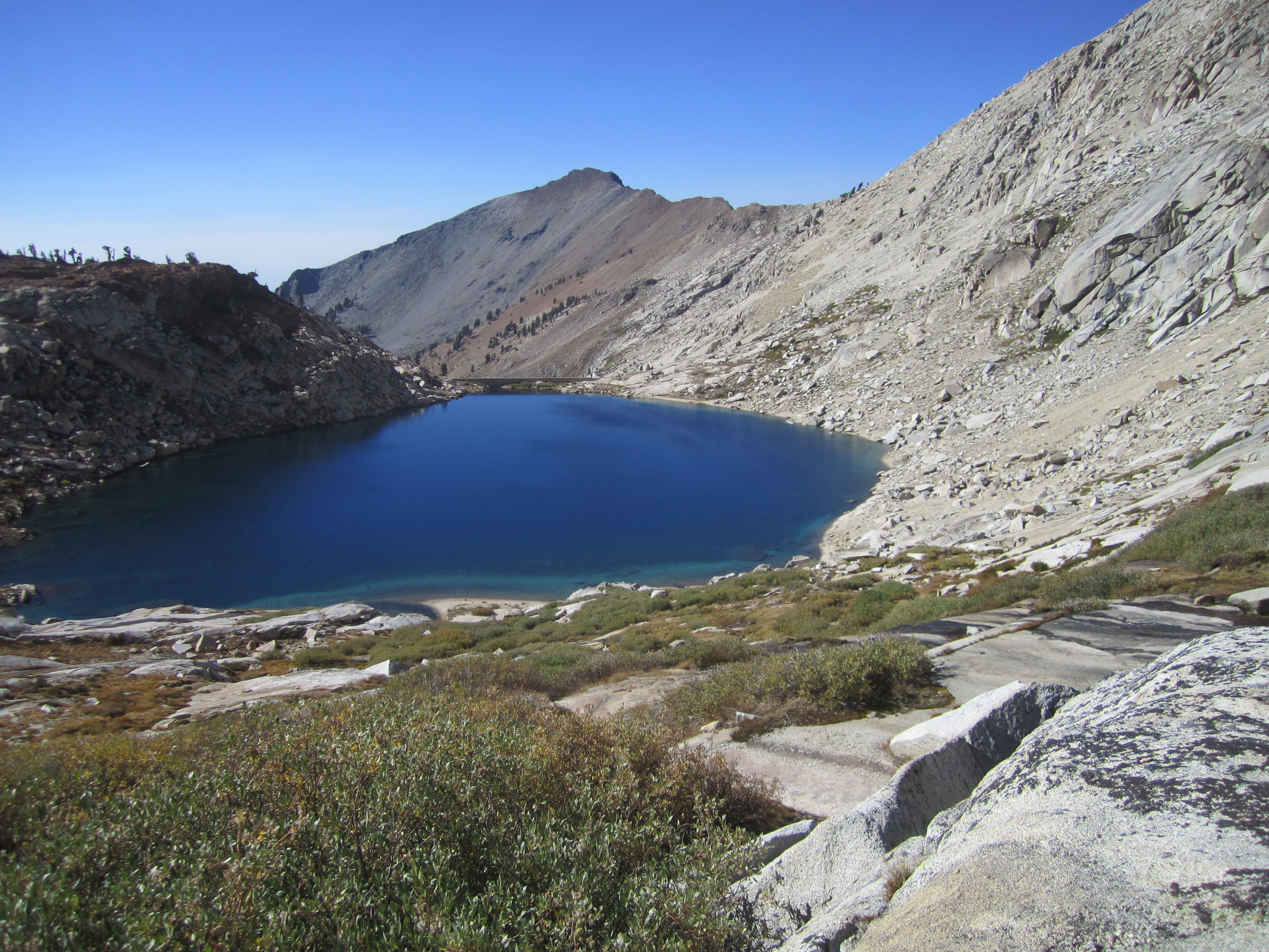
Upper Monarch Lake looked appropriate for a swim, and that's exactly what we did--for a few minutes at least. The water was freezing.
We made it back to camp a couple hours before sunset and looked up at the West Face of Sawtooth, trying to figure out precisely which way we had gone.
A solitary hiker named Ben was on his way to Upper Monarch. He seemed a little unprepared for being out so late. But we watched as he made the climb up the headwall between the lower and upper lakes.
While Ben explored the upper lake, Cecelia and I ate dinner and watched another sunset.
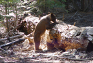
At some point I turned around to catch a big black bear eyeballing us from about seventy-five feet away. Who knows how long he had been watching us!
I quickly pulled out my camera, but the beast had already rushed up the slope toward Sawtooth Pass.
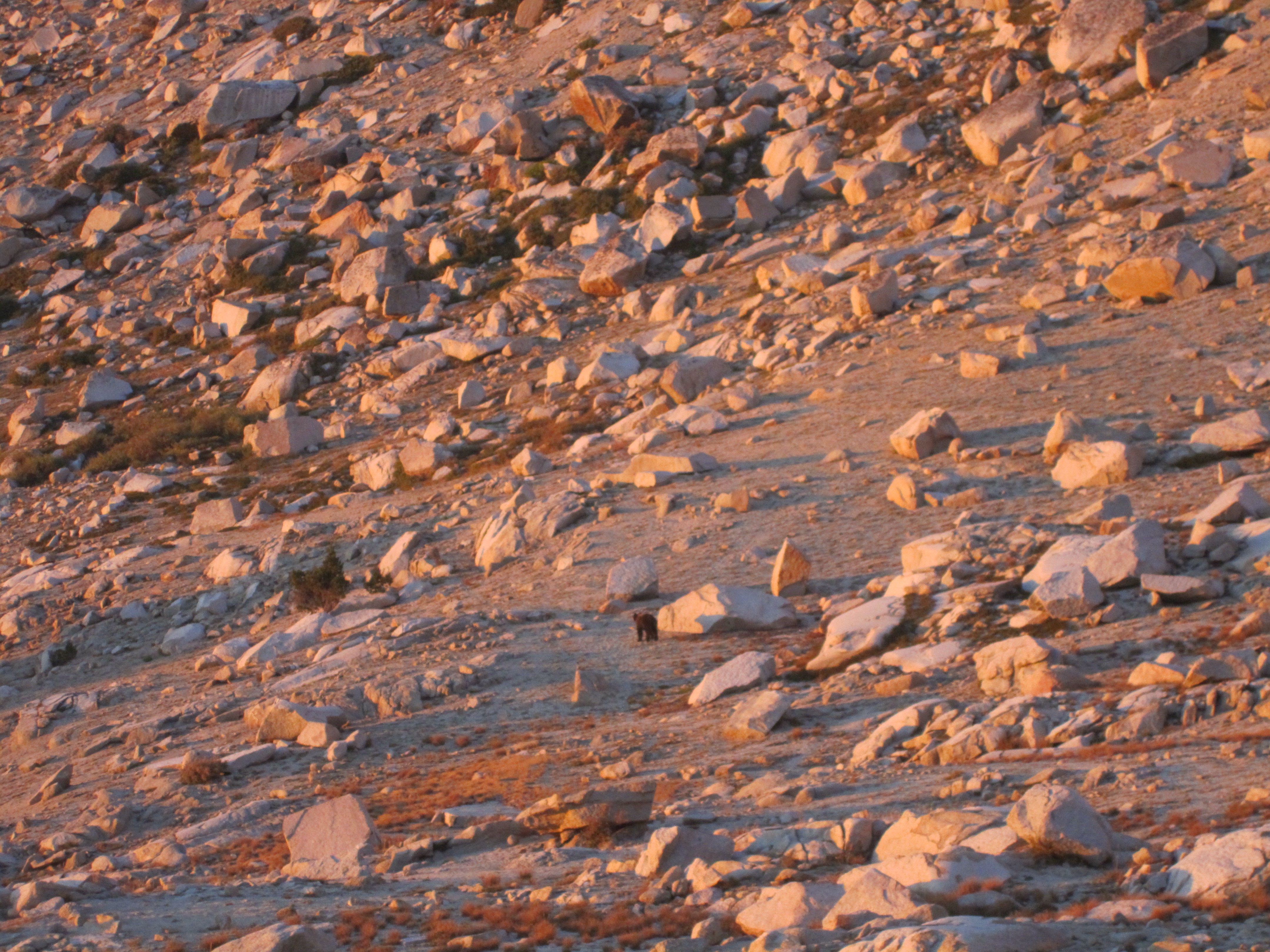
I think he made it to the ridge in ten minutes flat.
Meanwhile, Ben returned from the upper lake. It was now after sunset, and he said that he had food and water, but only two short-sleeved t-shirts. So I let him borrow a long-sleeved flannel and some hand warmers. Later we found my flannel under the car, so that way we knew Ben made it out okay.
Another night, another day. The third day was devoted to getting back to the car. Going downhill was of course much easier, and we made it out in three hours, after unsuccessfully trying to feed a pika some of my energy bar.