Kearsarge Pass (11,760'), July 18 2015

Archived TRs for Sierra Nevada ranges.
Post Reply
User avatar
HikingGeek.com
Posts: 126
Joined: Thu Jan 01, 2015 6:15 pm

Post by HikingGeek.com »

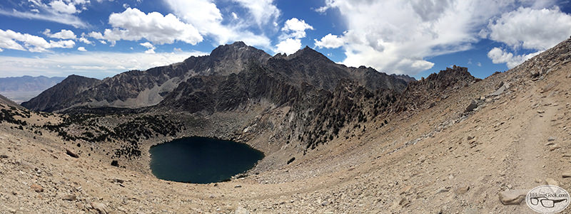
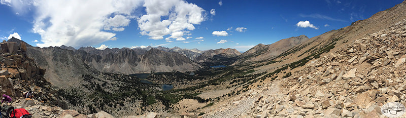
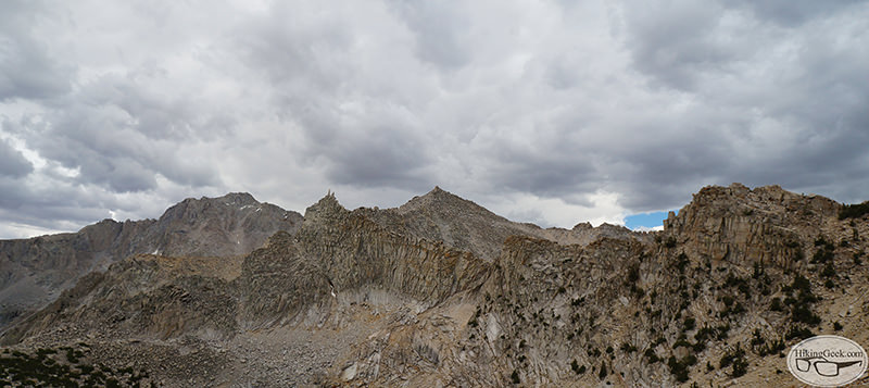
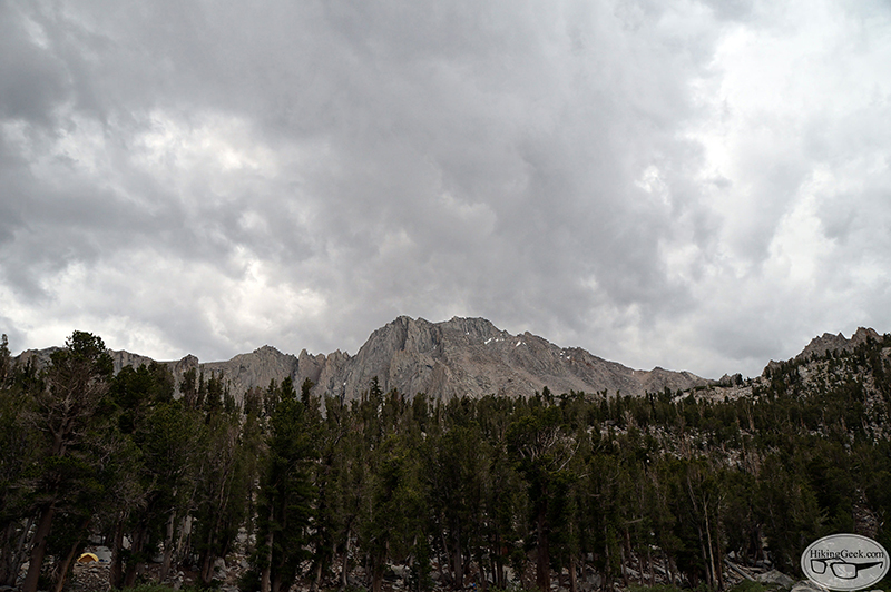
I stayed in Lone Pine July 17-19 and did a couple of day hikes in the area. On Day 2, I decided to hike to Kearsarge Pass, with the possibility of trying Mt. Gould. Unfortunately some weather rolled in as I was hanging out at the pass, so I decided to save Gould for another day.

Here are some hightlights. Clicking on any of the photos will bring you to my full trip report and gallery (~60 photos):

Heart Lake
Image

Mt Gould on the right, the "notch" to the left is Kearsarge Pass
Image

Big Pothole Lake
Image

Looking towards Kearsarge Lakes
Image

Clouds building up over the Kearsarge Pass
Image

Image

Clouds continue to move as I descend
Image
User avatar
Hikin_Jim
Posts: 4686
Joined: Thu Sep 27, 2007 9:04 pm

Post by Hikin_Jim »

Yeah, probably a good decision to bail on Gould.

How was the climb up Kearsarge? Long, hot slog?

HJ
User avatar
HikingGeek.com
Posts: 126
Joined: Thu Jan 01, 2015 6:15 pm

Post by HikingGeek.com »

Hikin_Jim wrote: Yeah, probably a good decision to bail on Gould.

How was the climb up Kearsarge? Long, hot slog?

HJ
After you get a view of Heart Lake, it gets hot and dry. Fortunately, it's only about 1.5 miles to the pass from there.
User avatar
Hikin_Jim
Posts: 4686
Joined: Thu Sep 27, 2007 9:04 pm

Post by Hikin_Jim »

I don't have a map in front of me. Is there water at that view point? If not, do you recall what the last water en route is?

HJ
User avatar
HikingGeek.com
Posts: 126
Joined: Thu Jan 01, 2015 6:15 pm

Post by HikingGeek.com »

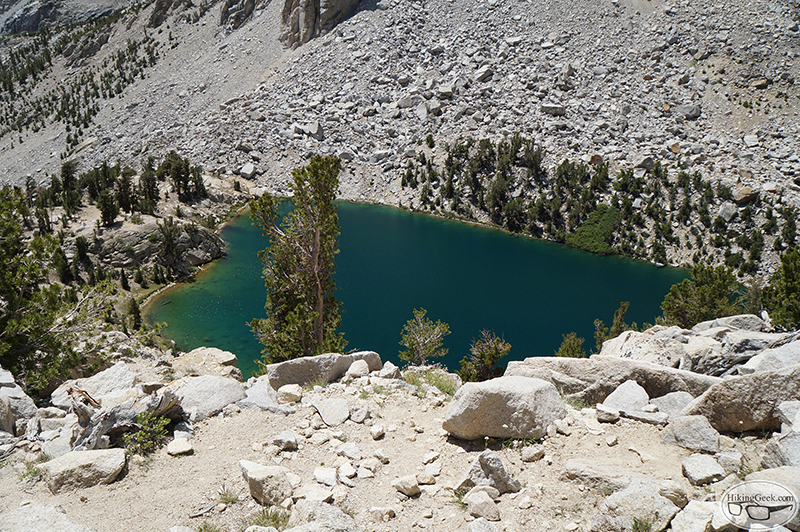
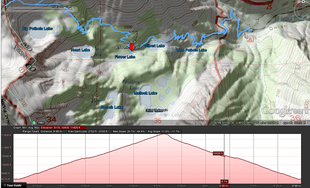
From what I remember, Flower Lake @ about 10,500 is probably going to be the last place for you to get water. You'll see a sign and path for Matlock Lake. The lake closest to the trail is Flower Lake. The water in the lake itself looked murky, so you may want to pull some from the inlet or outlet.

Image
Post Reply