Yosemite, Snow Creek trail and pool

Archived TRs for Sierra Nevada ranges.
Post Reply
User avatar
everyday
Posts: 455
Joined: Tue Mar 15, 2011 12:36 pm

Post by everyday »

So, i finally has interwebz again! Here are pics of my new regular running trail and views and pool. The granite views are at the end of my run, at 8100ft, and 8 miles from my front door. The creek and pool is at 7000ft and 5 steep miles from my front door, the first 2.5 miles are easy, you only gain 200ft, but the second 2.6 miles you gain 2600ft..yay. then it mellows out again. I start at 3900ft :)

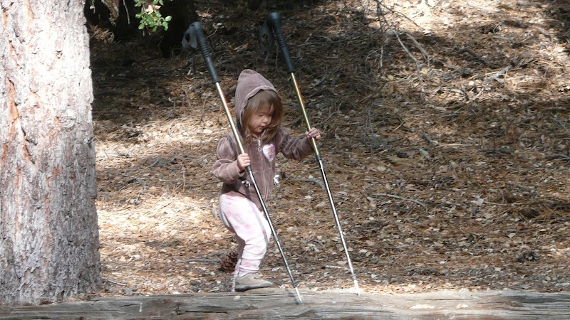
, no one else is ever at that pool, its off trail. shite, ive hardly seen any human people on this one. I see bears and deer n squirrels and butterflies and lizrds n fisheys :)

pix! the views from the long steep climb

Image

Image

Image

Image

Image

Image

Image

Image

this is the 8 mile /rest/snacks place

Image

Image

Image

Image

Image

Image

Image

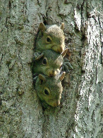
Chipmunk!!! (on top of rock)

Image

My private pool :)

Image

Image

Image

Image

Image

Image

Image

Image

Image

Image

Image

Image

Image

Image
User avatar
everyday
Posts: 455
Joined: Tue Mar 15, 2011 12:36 pm

Post by everyday »

hey, since im not big on describing shit in detail....heres someone elses write up on this trail.....i disagree with his statement thet its "strenuous" or "brutal"....its only half the climb as the Kaibab in the Grand Canyon.....but everyone has thier own idea of whats hard i guess...so, heres info in case ya wanno do it

http://www.freshairjunkie.com/index.php ... eek-trail/
User avatar
Hikin_Jim
Posts: 4686
Joined: Thu Sep 27, 2007 9:04 pm

Post by Hikin_Jim »

everyday wrote: i disagree with his statement thet its "strenuous" or "brutal"...
Can my little cute baby squirrel do it? :wink: (actually we call my daughter a hamster, but whatever)
Image

Looking at a map of the Snow Creek Trail, it does look brutal for us desk jockey types. But sometimes brutal is worth it. What a neat spot!

Are all the photos of water near the "footbridge" marked on the map? (point "G")

HJ
User avatar
everyday
Posts: 455
Joined: Tue Mar 15, 2011 12:36 pm

Post by everyday »

The deep pool is downstream from the lil bridge, just like 50 ft from where the drop off/waterfalls start.
I think it might be hard for her. youre going up on switchbacks though, so, if you took your time and lotsa rests, it may be ok. its only for 2.5 miles. If ya arnt going for time and spend a whole morning doin it, i think itd be ok. Ide keep a leash on her though, theres one or two drop off spots. But mosta the trail's nice. and theres lotsa shade

Hey! and now i know those things in my pic are called Watkins Pinnacles! they dont hava letter, just tha name there. so ya, the pools downstream
User avatar
Hikin_Jim
Posts: 4686
Joined: Thu Sep 27, 2007 9:04 pm

Post by Hikin_Jim »

everyday wrote: Hey! and now i know those things in my pic are called Watkins Pinnacles!
Ah, the joys of Acme Mapper. :)

Thanks for the 411. I'll have to check it out some time, but it might be when my hamster gets a little older.

HJ
Post Reply