We took off from the trailhead on Sisar Canyon Road at 7:30 am on a day of relatively cool temps as we headed up Sisar Canyon to the forest service road then east to the Red Reef Trail. This was Jim's first Sespe hike and he was not disappointed. We enjoyed the riparian forest provided by the creek, the coastal chaparral when we topped out on the ridge and the two peaks we tagged since Topatopa Bluff is an easy hit after the long ascent and travel to Hines. I had been warned about the knife-edged ridge to the summit and we found it pretty benign after all the Sierra scrambling we have done. Falling could cause very serious injury or worse, but since the exposure was less than 1k, it felt pretty tame.
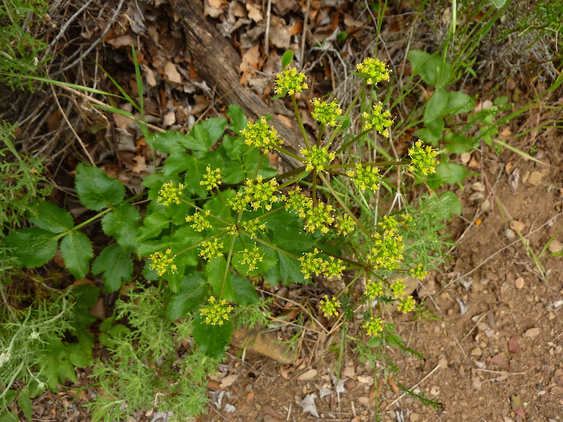
Our views from the summits were spotty with the marine layer that was shrouding the coast and playing tag with the summits all day. Nonetheless, we had a great hike of two fun peaks, saw two beautiful lizards, lots of flowers and even some fresh bear tracks. Aw... the Sespe! Total stats: 21.5 miles, 5976 elevation gain, 11 hours and a couple hundred photos that i narrowed down to 175. (Bet i could have done the hike in 9 hrs if i didn't have a camera! But speed isn't my goal. Enjoying the outdoors and the beauty it holds, is.)
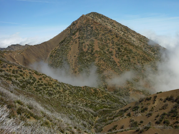
Our objective, Hines Peak 6704 (or 6716) feet elevation
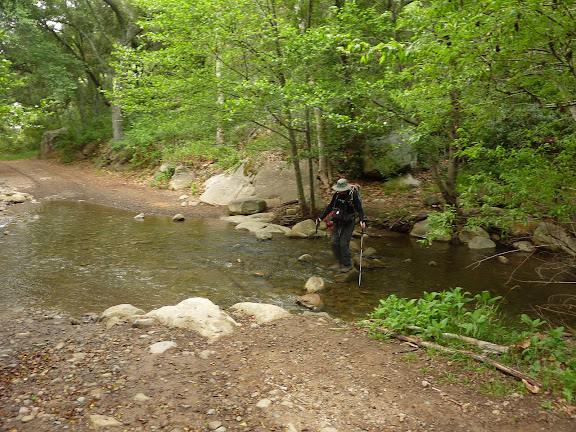
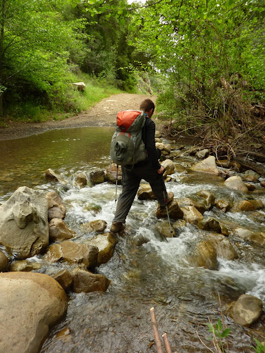
Creek crossing
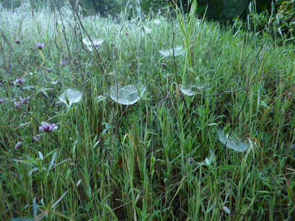
Dew dropped spider webs
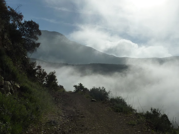
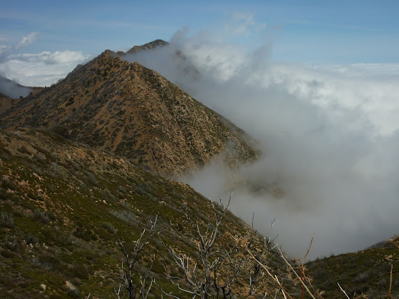
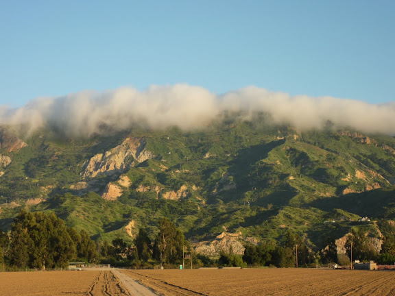
Early morning hide & seek between the clouds and the mountains
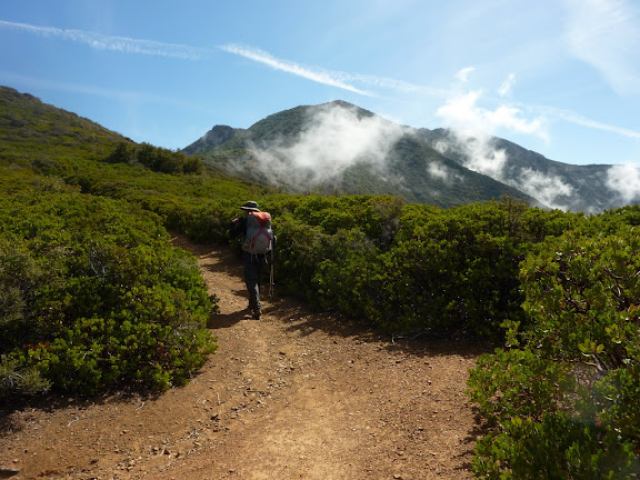
Out of the forest and into the coastal chaparral
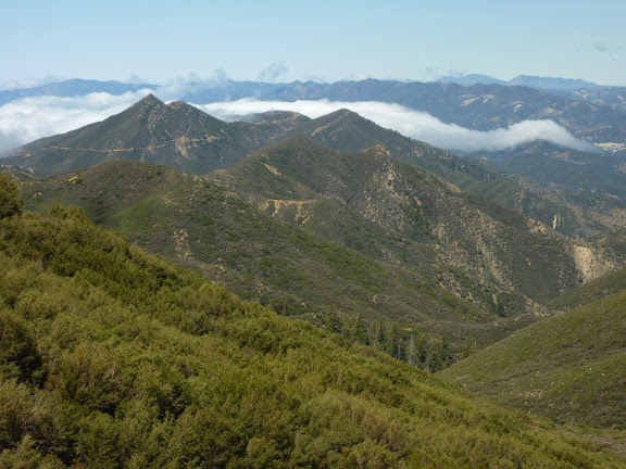
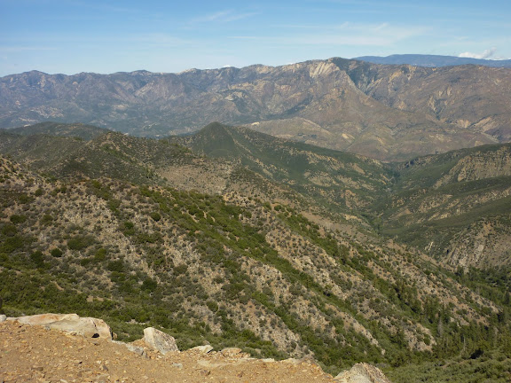
View northwest of the LPNF with Chief Peak on the left and the Santa Barbara Mountains in the far distance
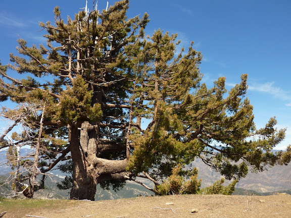
Tree of the day, Bigcone Spruce aka Bigcone Douglas Fir. Correct me if i'm wrong HJ.
View north of the backcountry of the LPNF including Mount Pinos in distance, at 8800 feet the highest peak in Ventura County
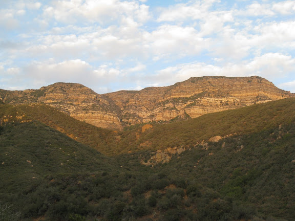
The beautiful Topatopa Mountain (not to be confused with Topatopa Bluff) which is closed to the public since it is the Sespe Condor Sanctuary
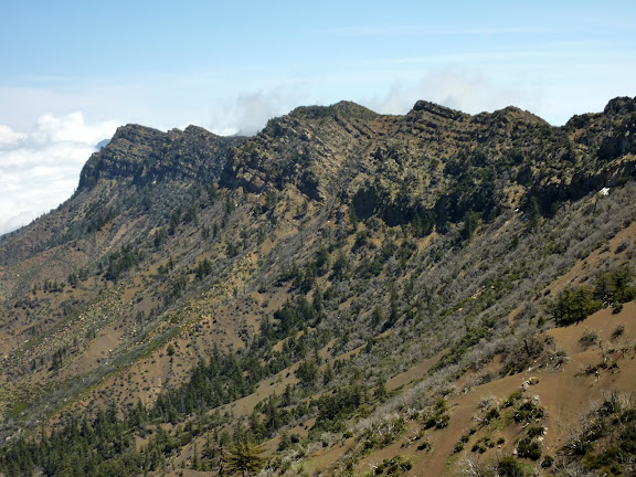
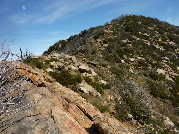
A craggy section of the knife-edged ridge
False summit of Hines Peak
So we head east to the true summit
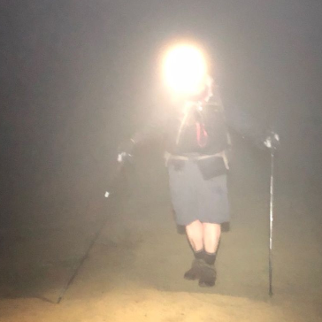
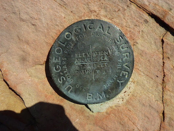
It's about time! On the summit of Hines Peak.
Descending down the knife-edged ridge
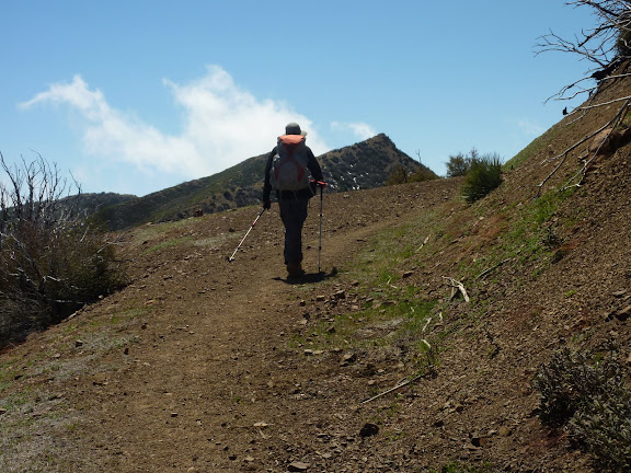
Heading back on the Red Reef Trail to Topatopa Bluff
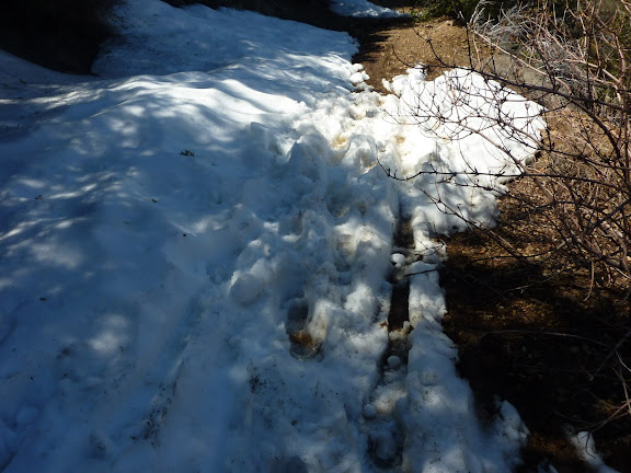
We got to walk in some snow and someone even mtn biked it. Cool!
Watching the clouds lick the peaks
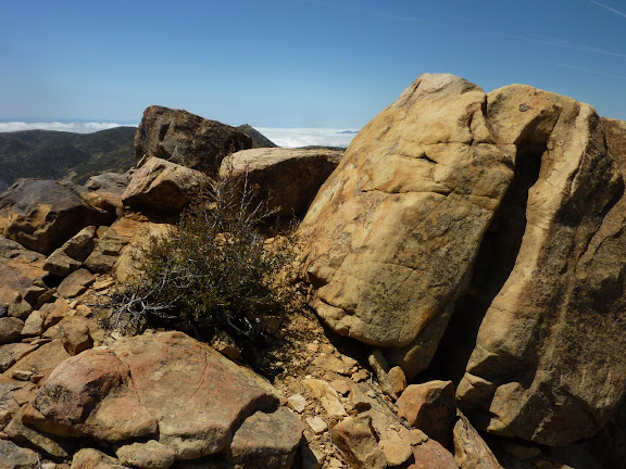
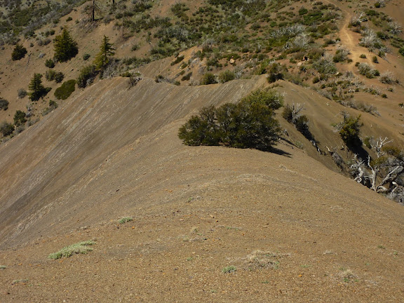
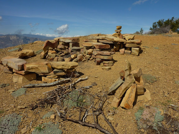
Topatopa Bluff summit rock furniiture
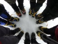
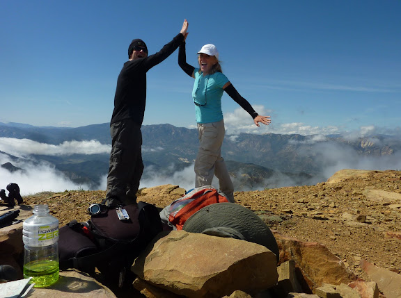
Topatopa Bluff elev 6367 feet celebratory High-5. I finally tagged Hines and Jim's first Sespe hike.
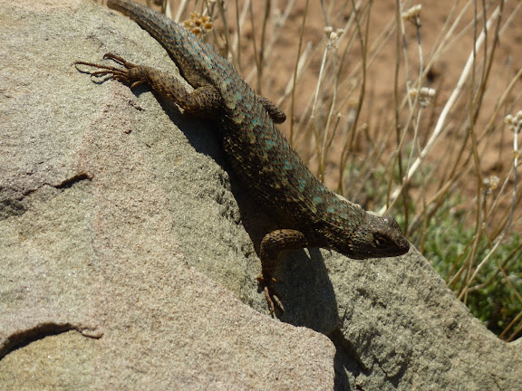
Coast Range Fence Lizard
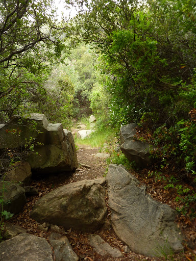
Back to the beauty of the riparian forest
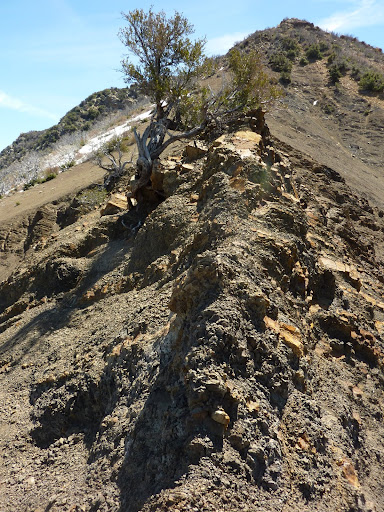
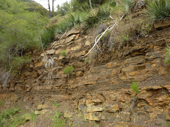
Sedementary rock
Heading out
Driving home on the 126 as the marine layer comes over the mountains into the Santa Paula plain
rest of my pix are here:
https://picasaweb.google.com/ryan.norma ... Bluff42111#