Cobblestone mountain from Ant Camp
Posted: Fri Dec 27, 2024 11:04 am
So I'm trying to get to Cobblestone mountain. The usual approach from Sewart peak isn't an option because of the Post fire. I tried to approach from the West, but that route is laughably rough and un-bikeable. That leaves the approach from the South as the only remaining route that I've heard of: David Stillman's "Redrum Ridge". Go read his report; it's great. I should mention I haven't heard of anyone else ever going that way.
I drove to Fillmore and up the hill as far as I could. The road is gated 2.5 miles below Dough Flat, at the Tar Creek crossing. Unclear why it's closed: the water in Tar Creek is low-enough to drive across easily, and the road is in fine shape too. I started walking from this gate at 7:30am. Available daylight was the main concern, so I walked quickly. Made it to Dough Flat and beyond in good time. The trail here gets some use, and is in good shape. Eventually I got to the junction:
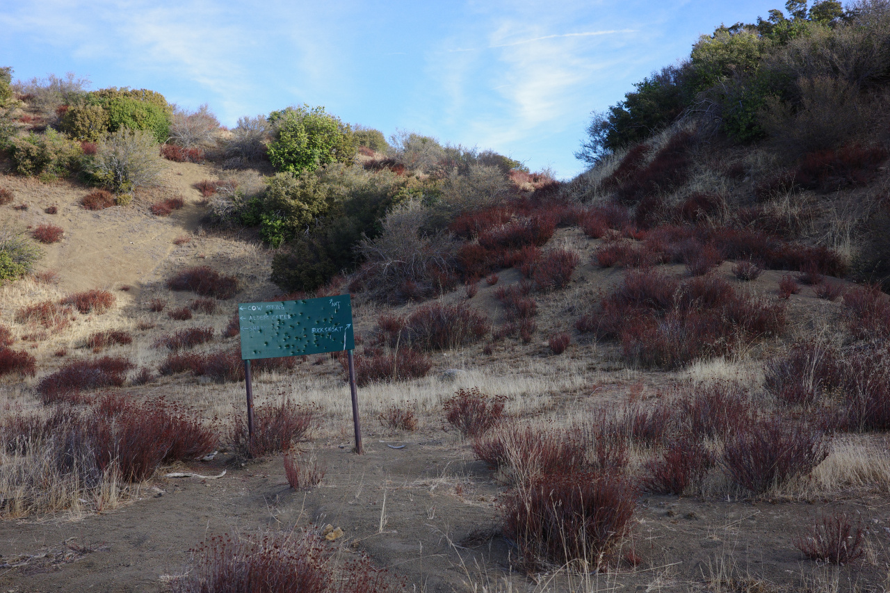
I'm going down to Ant Camp. At this junction the conditions deteriorate to the abandonment we expect in the Los Padres. Past the junction the trail looks like this:
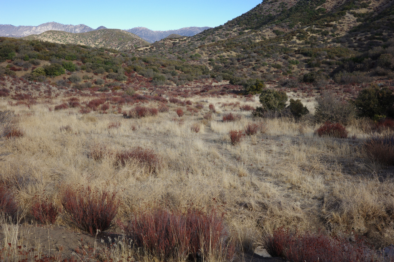
A nice view of today's project opens up from the top of the descent to Ant Camp:
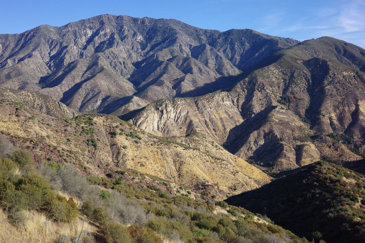
Ant camp is in the Agua Blanca canyon hidden in the center of the image. The route follows the ridgeline from the center to the top-right (NE), and then turns left (N and then NW) to follow the ridge to Cobblestone mountain, the big peak in the image. The brush looks alarming.
The drop down to Ant Camp hasn't been maintained in a very long time. It's overgrown, and could use some love. What's left of Ant Camp:
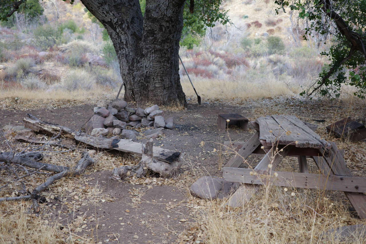
There's also an old metal sign, faded to complete illegibility.
Agua Blanca is flowing well. It was a cool day, so I filled up 3L here. I climbed the slope straight up from the camp
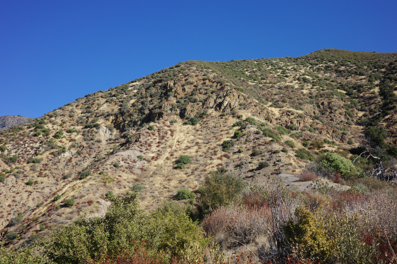
It's steep, but there's plenty to hold on to, and it's not technical. I went straight through the boulders in the center of the image, which had maybe class-3 moves, but plenty of easier lines are available. At the top of the initial climb, better views open up
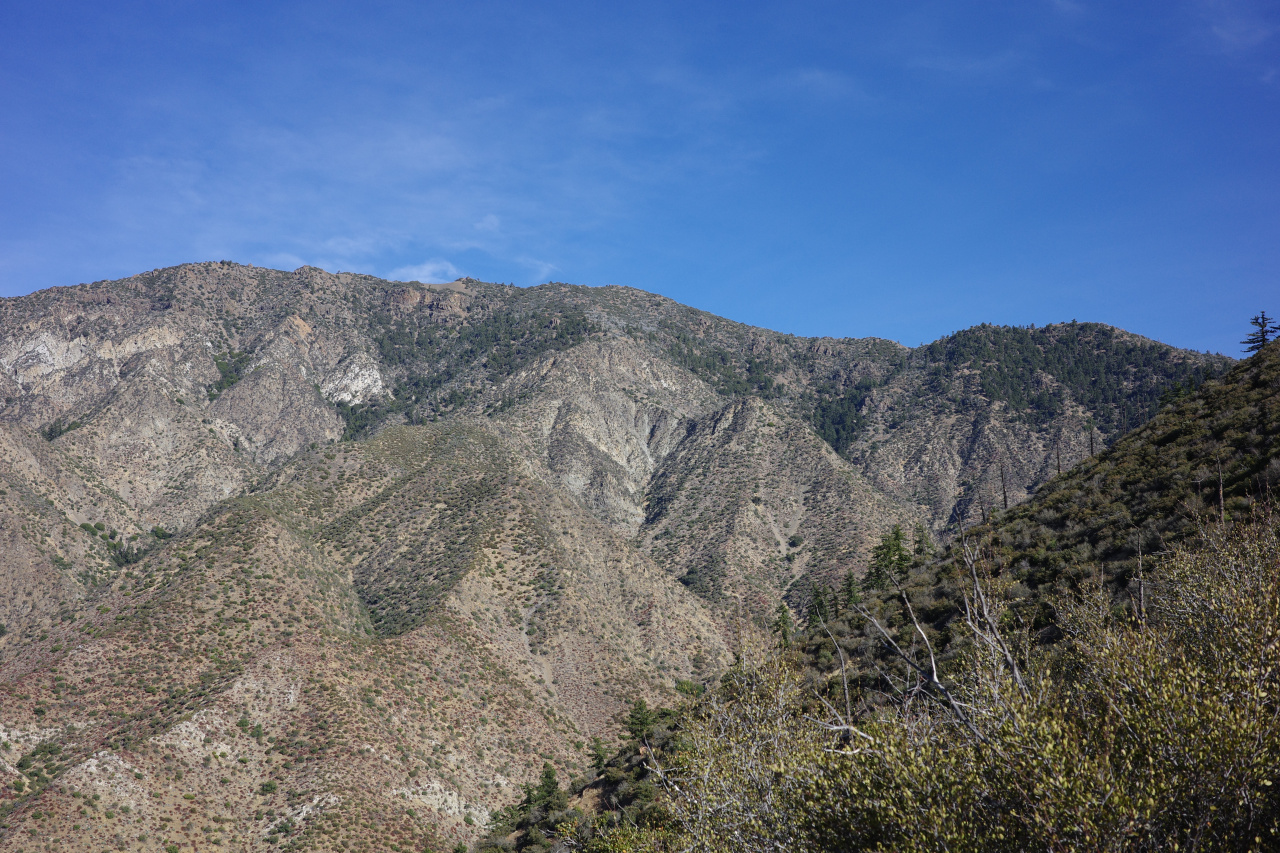
The climb coming up looks like this:
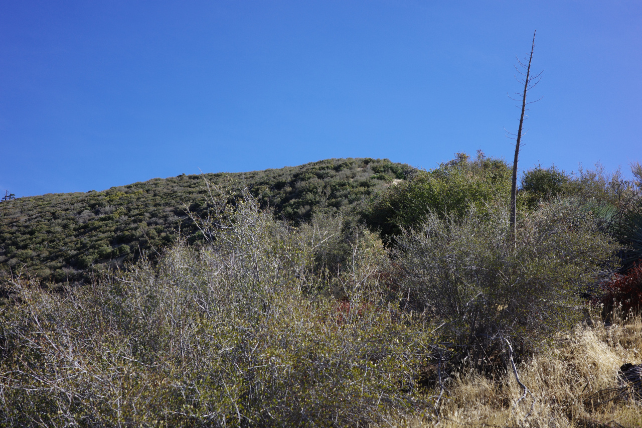
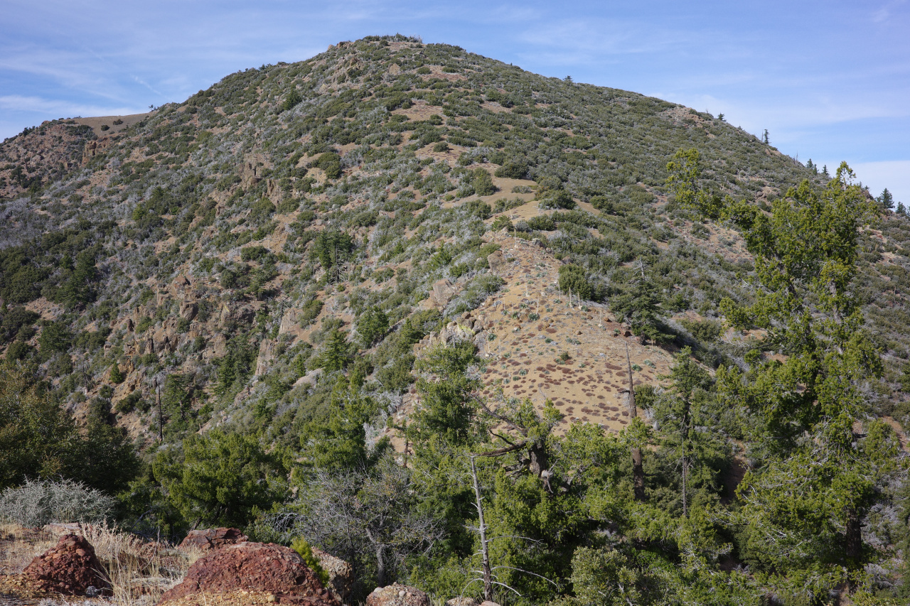
Brushy. However, the bears like it here: there's bear scat absolutely everywhere on this ridge. So in many places, there are bear-sized gaps in the brush. And there isn't very much yucca or whitethorn, so you're not constantly getting stabbed. In this part of the climb, getting through the brush wasn't too terrible. At ~4500ft the gaps closed up, and it became more of a struggle. However, there are pine trees to the left of the ridge here. There's no brush there, and that's where the bears go. Once I figured that out, I stayed to the left of the ridge-top in the trees, following the bear trails. It's annoyingly steep, but far better than having to battle the brush. Soon enough I was on point 5235. I was doing fine on water, but the brush slowed me down a lot, and I was now concerned about daylight. It was 12:00. I really REALLY wanted to be back to at least Ant camp before sundown. Which meant that I should be at the peak at 13:15; 13:30 at the latest. I haven't even started what Stillman called "3 Evils" yet, so success was doubtful. In any case, at 5235 I had a preview of the "first Evil":
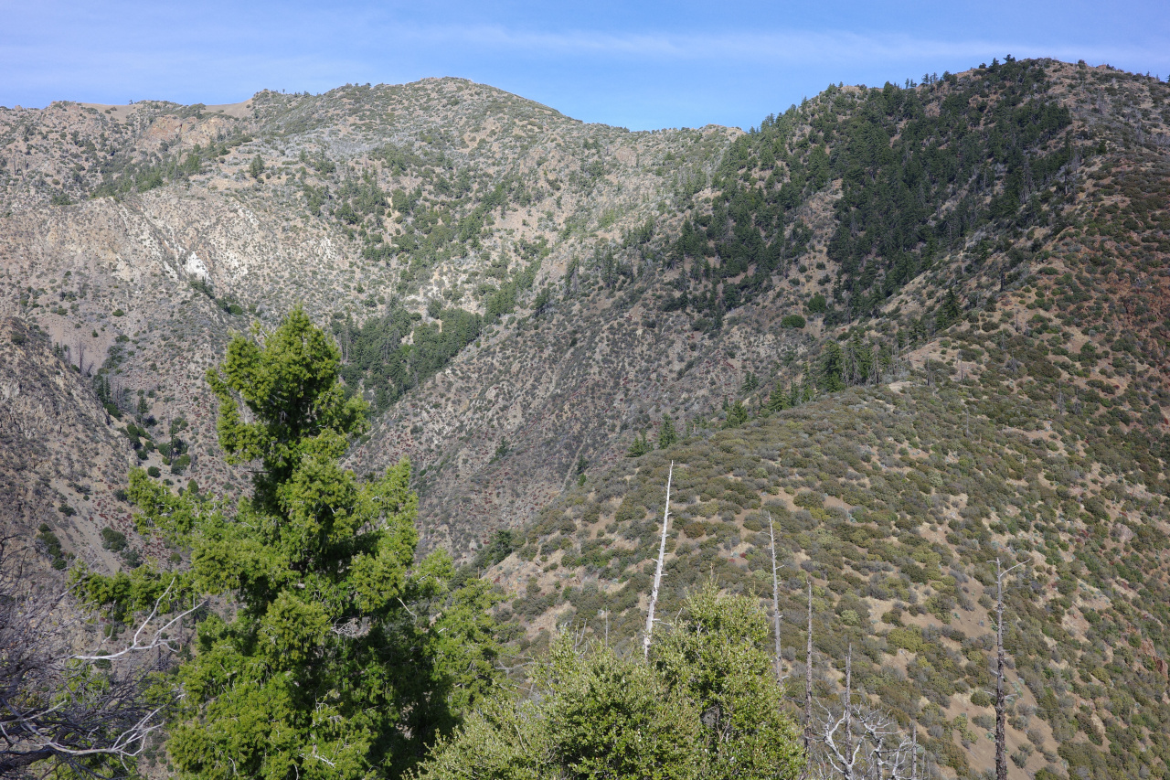
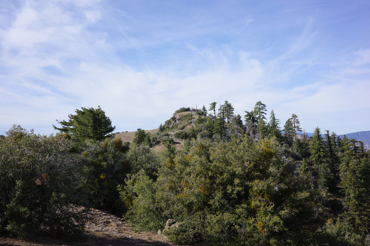
As before, it's steep, a bit brushy, and not technical. Honestly, not a big deal. After a few steep sections you get to the final set of bumps. These are straightforward also:
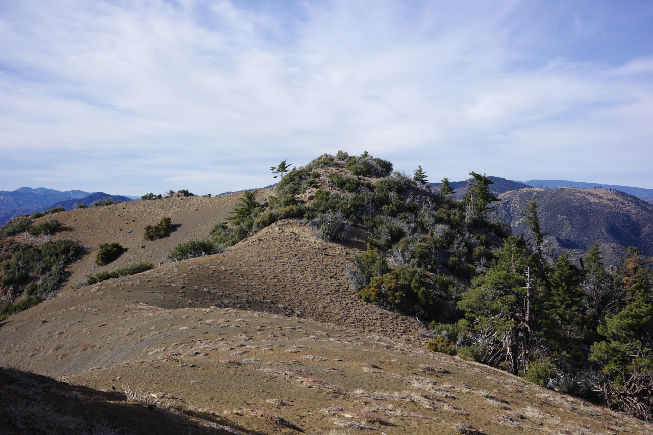
The bump in this last photo is the peak. Summitted at 13:23. Finally!
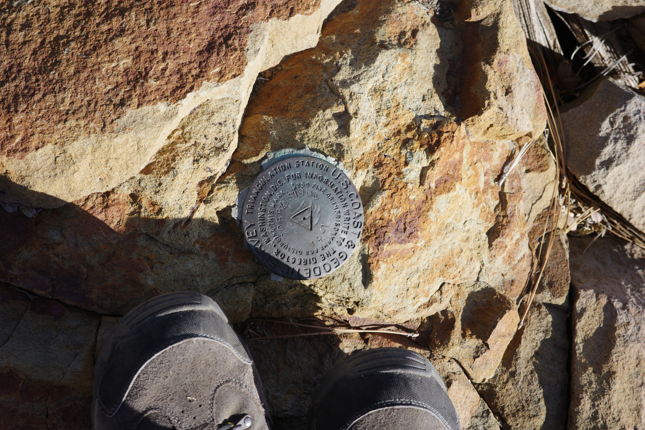
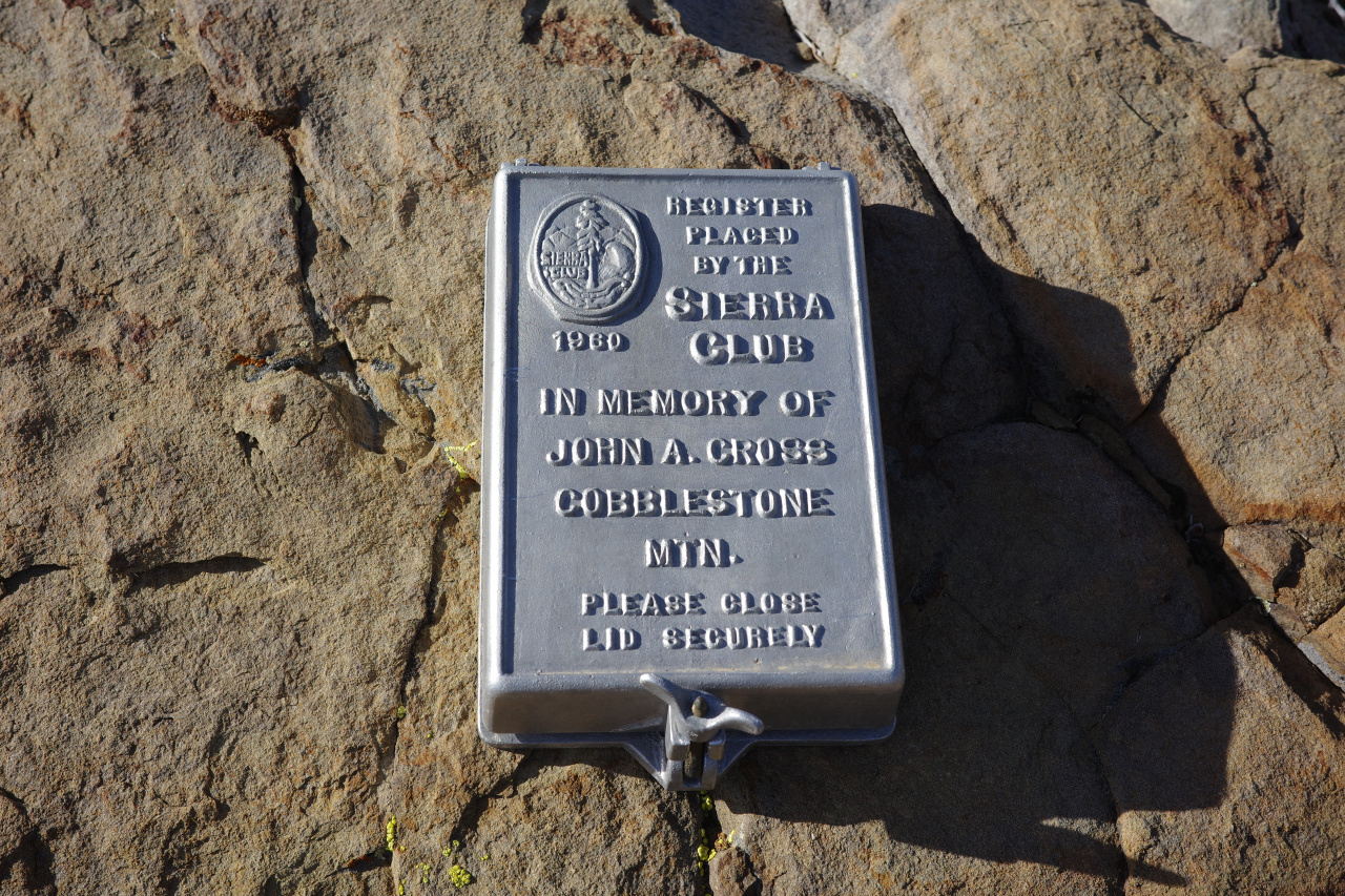
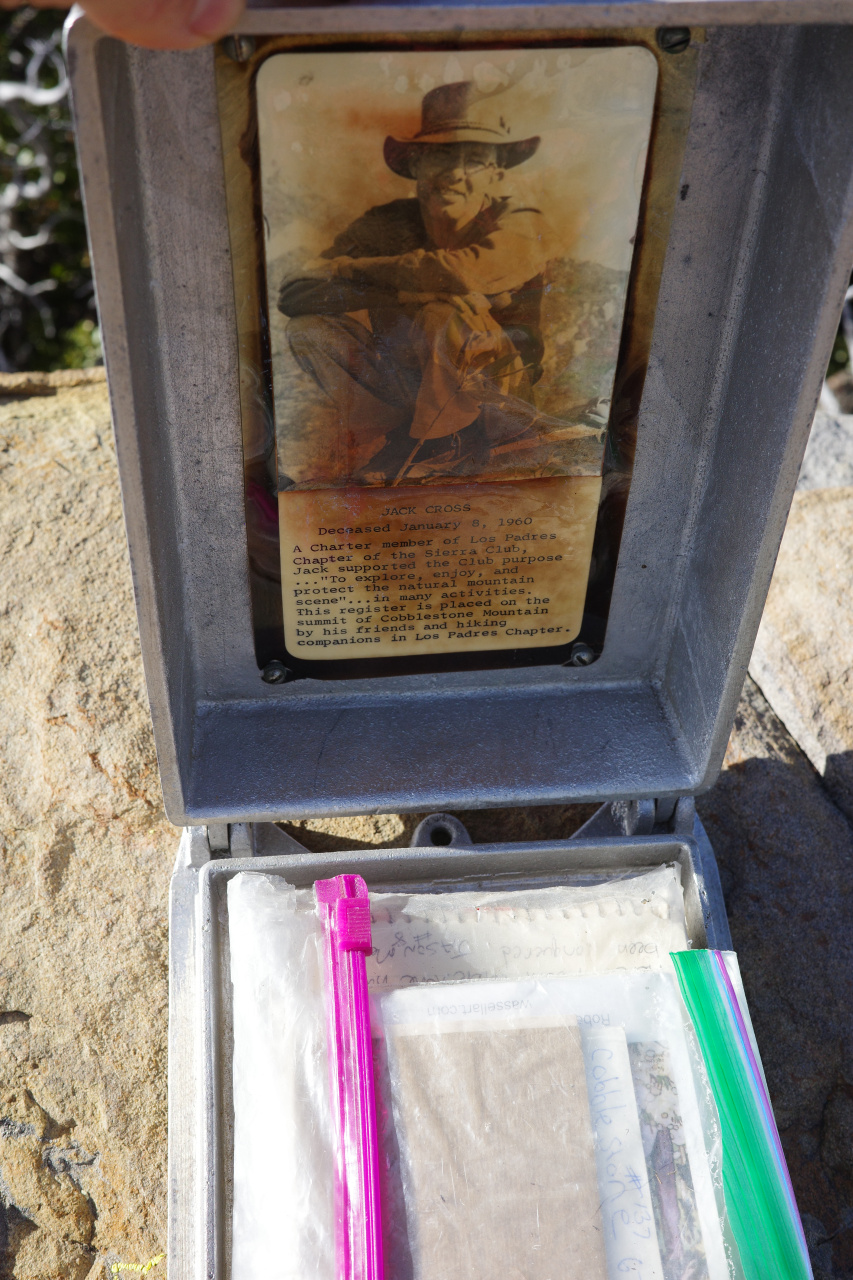
This is a very fancy register. The bolt holding the wing nut in place is quite rusted, and it's very hard to turn by hand. I had a multitool with pliers, which helped immensely at opening this thing. Somebody should bring some lubricant, or something. Inside the box are some old register books
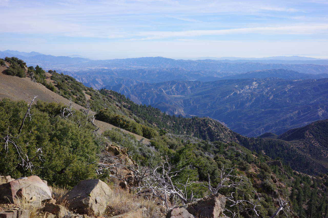
I needed to start heading back ASAP unfortunately, so I spent only 10 minutes at the summit, and didn't read the old entries at all. The views from up here are grand. Santa Clarita and the evils and (the bumps in the middle; in order) Strawberry, Lawlor, Josephine, San Gabriel, Markham, Lowe, Lukens.
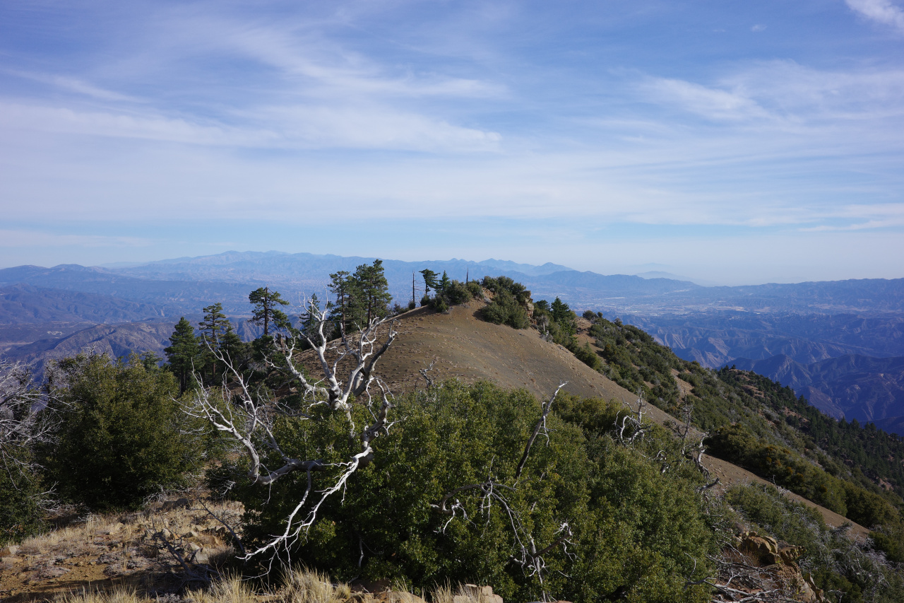
Point 5235 and the brushy ascent ridge and Hopper and Whitacre:
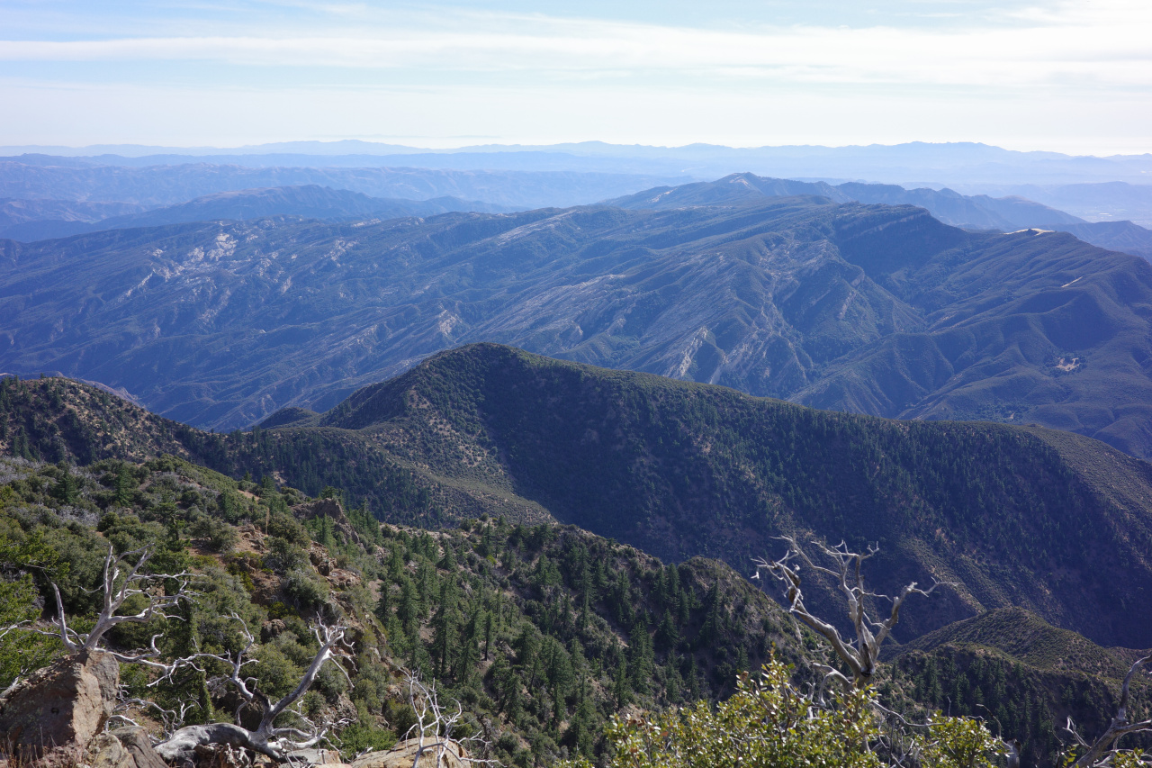
Sulfur, San Cayetano, Santa Paula and some barges near Port Hueneme:
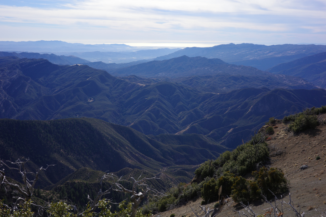
North, towards Snowy and Frazier:
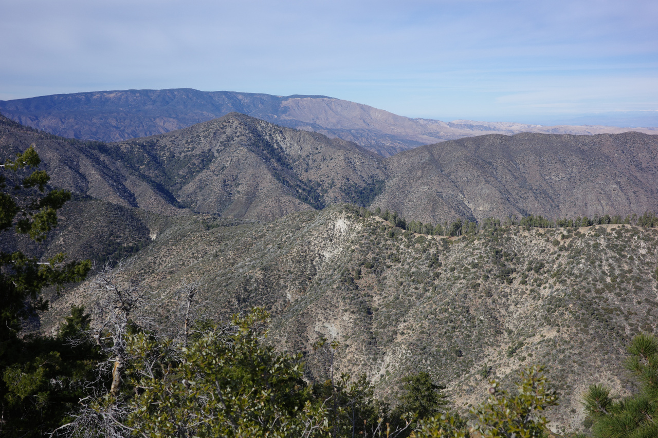
And Alamo:
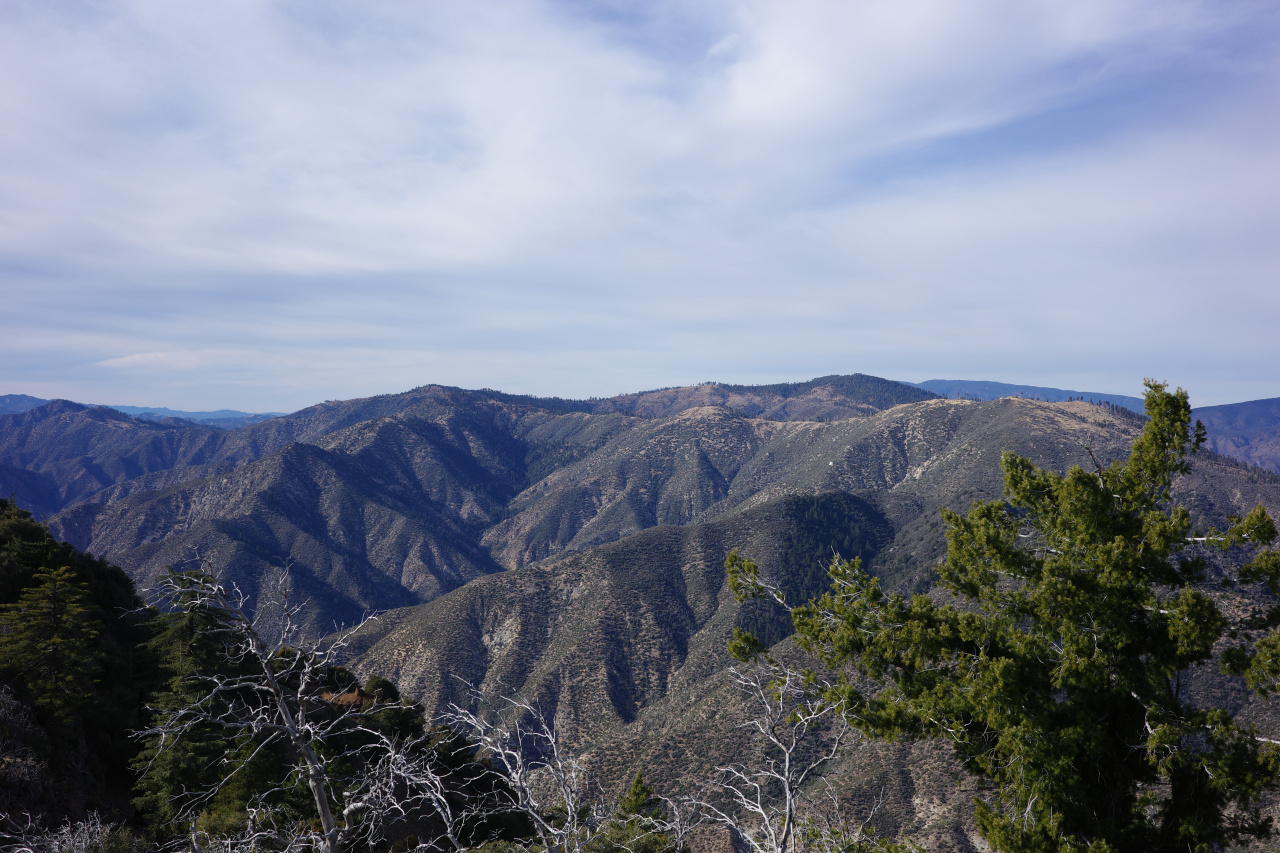
And the wind farm and the Tehachapis:
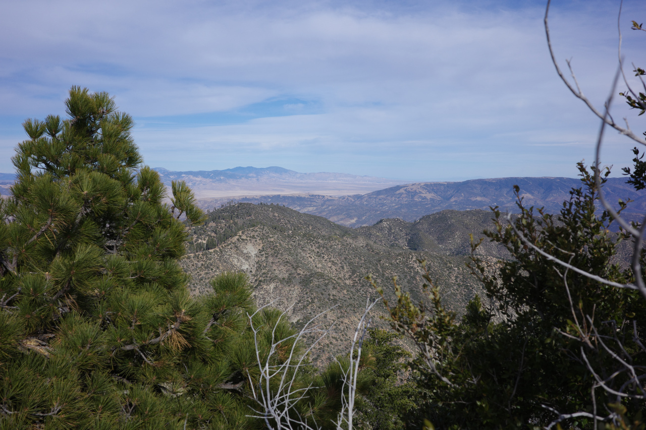
And Hines, upper Agua Blanca Canyon and Reyes:
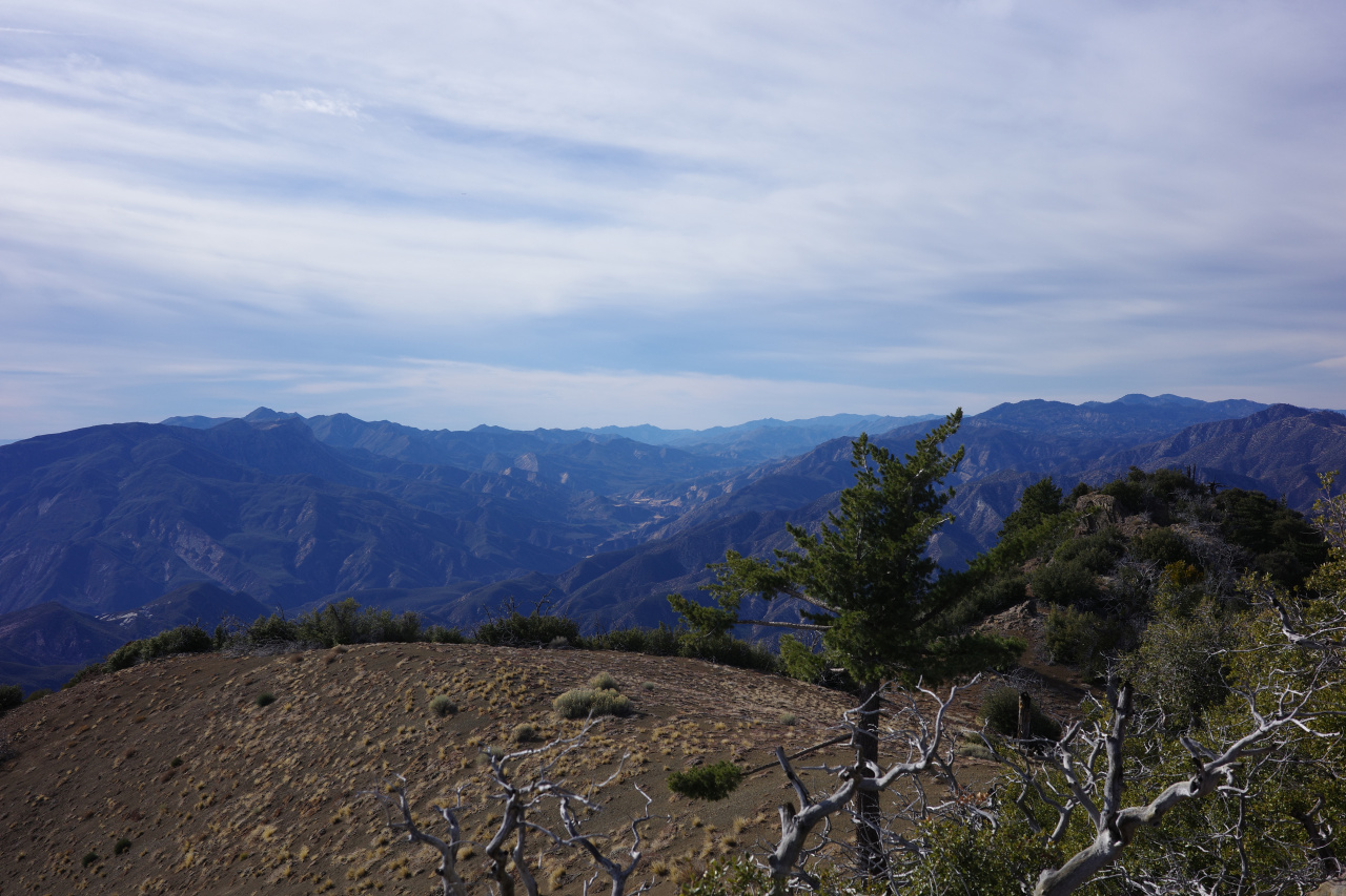
Eventually I scurried back down the hill. One of the bumps next to the summit has some sort of (probably?) oil thing:
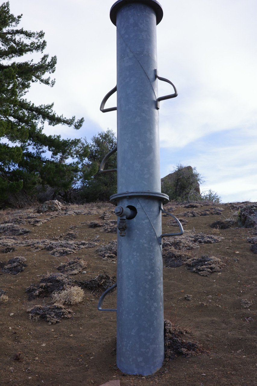
This is the only human anything between the summit and Ant Camp.
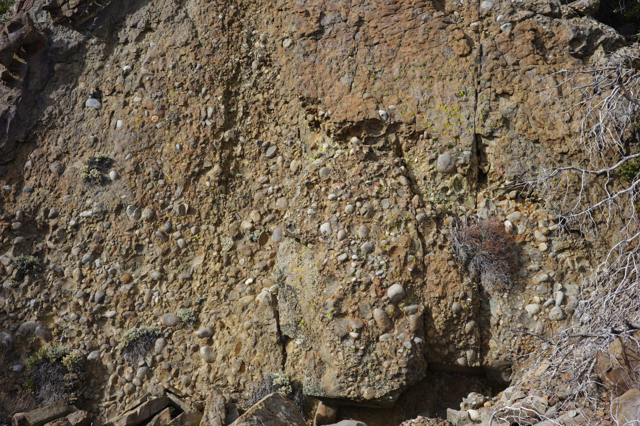
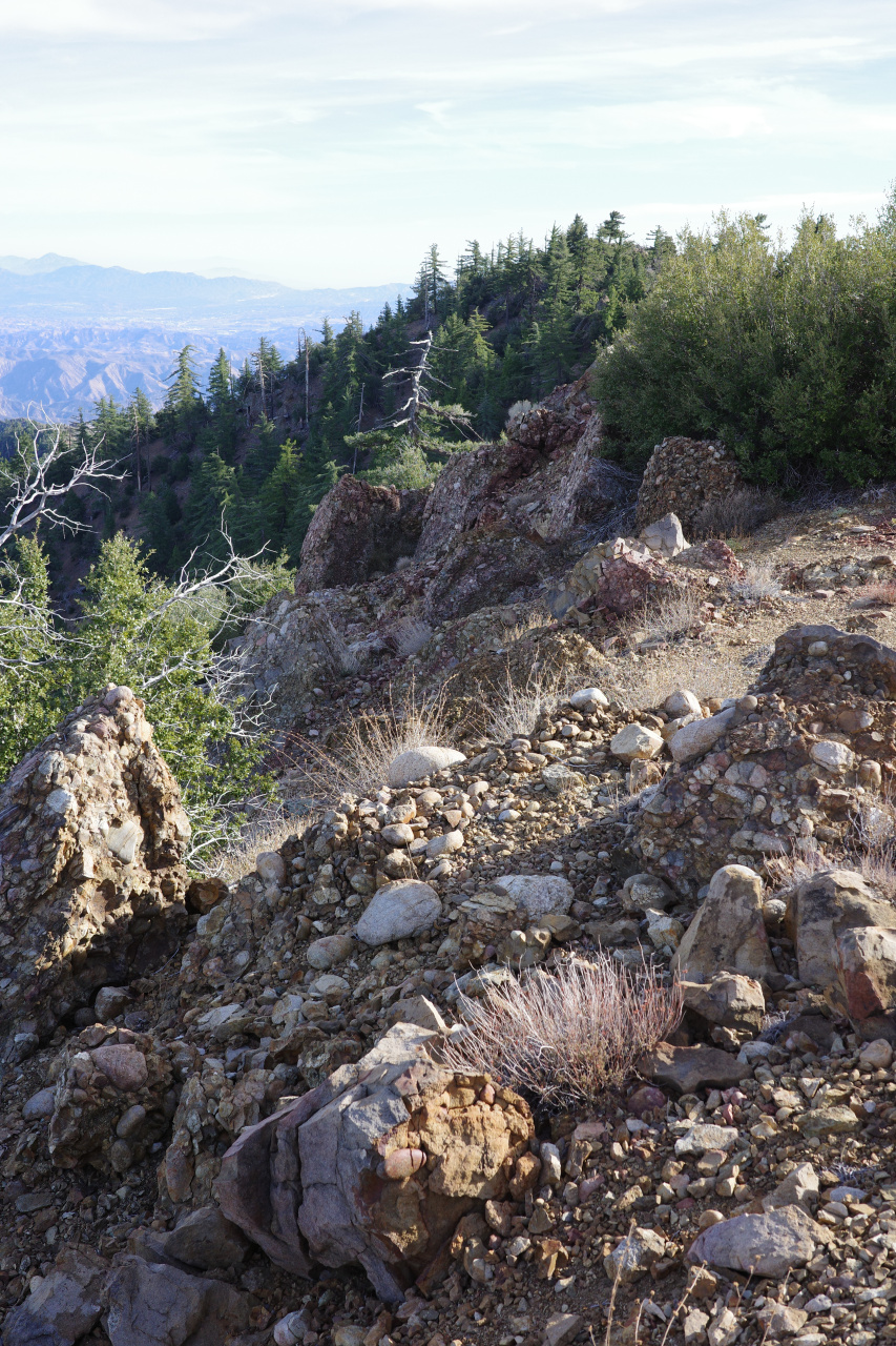
The geology of this area is very cool. There's lots and lots of cool conglomerate rock, with big boulders, which I'm guessing is why Cobblestone mountain has that name
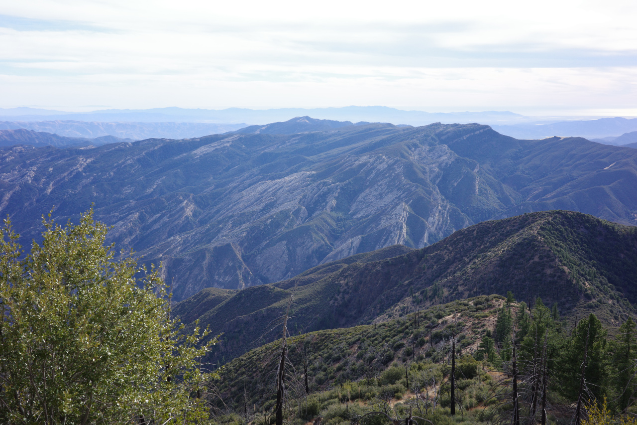
The backside of Whitacre peak has cool, slabby geology
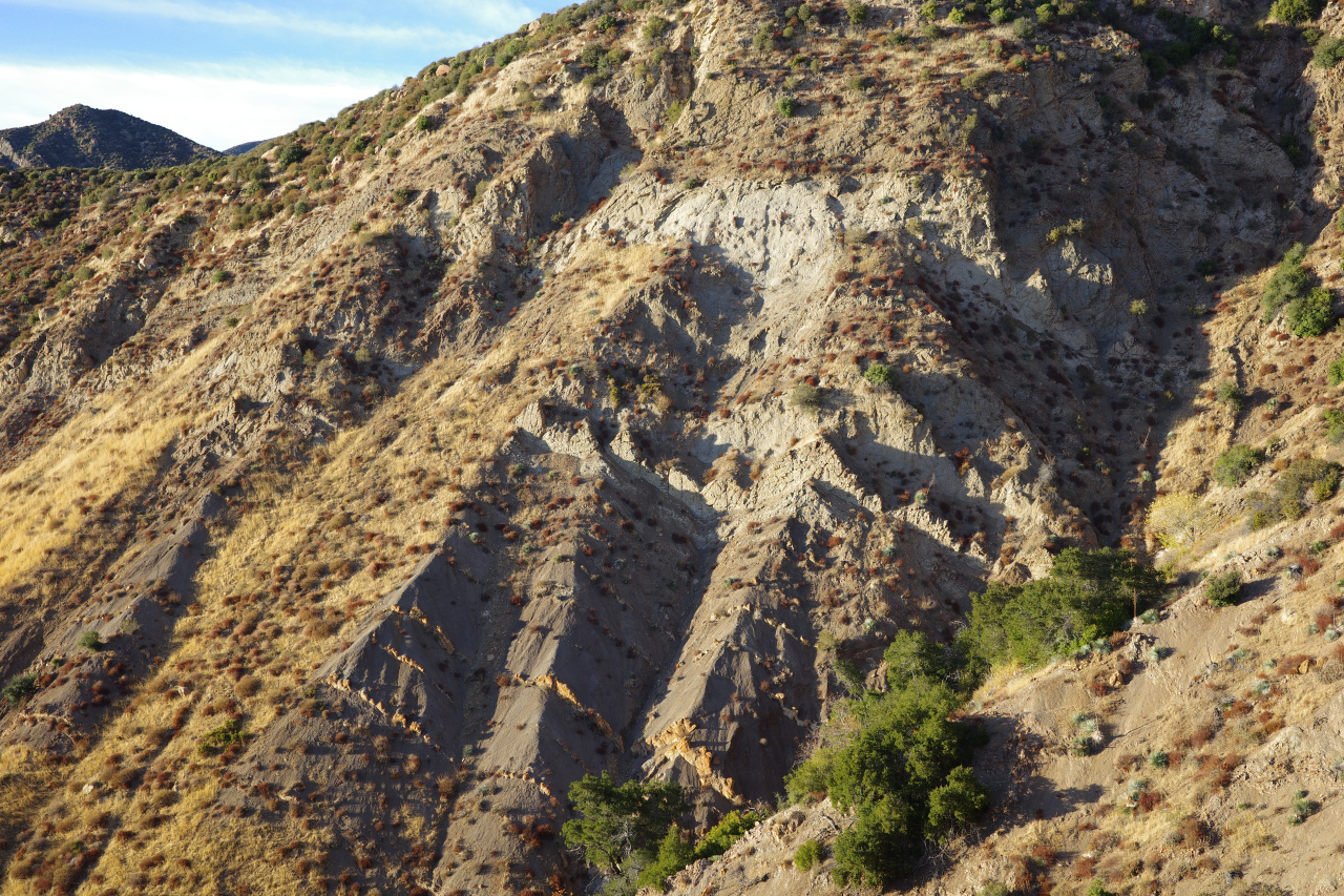
And even around Ant Camp there are cool-looking strata:
I made it back to Ant Camp in good time. The sun set just as I was finishing the climb out, and I did the final trail, road walk in the dark. Final stats, as reported by my phone: 9000ft gain, 24 miles, 12 hours.
David Stillman was so impressed by the challenges of this route, he called it "Redrum Ridge" and the final sections of the climb "The 3 Evils". This was clearly very long, but it didn't feel especially hard, and I'm not sure the notoriety is deserved. The brush was manageable; route-finding was easy; it's entirely non-technical. I'd say this is in the same difficulty ballpark as the non-trail, non-North ridges of Iron Mountain. Triplet rocks and (probably) Iron Mountain North ridge are a whole other type of thing. This is a cool, remote area. Recommended!
I drove to Fillmore and up the hill as far as I could. The road is gated 2.5 miles below Dough Flat, at the Tar Creek crossing. Unclear why it's closed: the water in Tar Creek is low-enough to drive across easily, and the road is in fine shape too. I started walking from this gate at 7:30am. Available daylight was the main concern, so I walked quickly. Made it to Dough Flat and beyond in good time. The trail here gets some use, and is in good shape. Eventually I got to the junction:

I'm going down to Ant Camp. At this junction the conditions deteriorate to the abandonment we expect in the Los Padres. Past the junction the trail looks like this:

A nice view of today's project opens up from the top of the descent to Ant Camp:

Ant camp is in the Agua Blanca canyon hidden in the center of the image. The route follows the ridgeline from the center to the top-right (NE), and then turns left (N and then NW) to follow the ridge to Cobblestone mountain, the big peak in the image. The brush looks alarming.
The drop down to Ant Camp hasn't been maintained in a very long time. It's overgrown, and could use some love. What's left of Ant Camp:

There's also an old metal sign, faded to complete illegibility.
Agua Blanca is flowing well. It was a cool day, so I filled up 3L here. I climbed the slope straight up from the camp

It's steep, but there's plenty to hold on to, and it's not technical. I went straight through the boulders in the center of the image, which had maybe class-3 moves, but plenty of easier lines are available. At the top of the initial climb, better views open up

The climb coming up looks like this:

Brushy. However, the bears like it here: there's bear scat absolutely everywhere on this ridge. So in many places, there are bear-sized gaps in the brush. And there isn't very much yucca or whitethorn, so you're not constantly getting stabbed. In this part of the climb, getting through the brush wasn't too terrible. At ~4500ft the gaps closed up, and it became more of a struggle. However, there are pine trees to the left of the ridge here. There's no brush there, and that's where the bears go. Once I figured that out, I stayed to the left of the ridge-top in the trees, following the bear trails. It's annoyingly steep, but far better than having to battle the brush. Soon enough I was on point 5235. I was doing fine on water, but the brush slowed me down a lot, and I was now concerned about daylight. It was 12:00. I really REALLY wanted to be back to at least Ant camp before sundown. Which meant that I should be at the peak at 13:15; 13:30 at the latest. I haven't even started what Stillman called "3 Evils" yet, so success was doubtful. In any case, at 5235 I had a preview of the "first Evil":

As before, it's steep, a bit brushy, and not technical. Honestly, not a big deal. After a few steep sections you get to the final set of bumps. These are straightforward also:


The bump in this last photo is the peak. Summitted at 13:23. Finally!


This is a very fancy register. The bolt holding the wing nut in place is quite rusted, and it's very hard to turn by hand. I had a multitool with pliers, which helped immensely at opening this thing. Somebody should bring some lubricant, or something. Inside the box are some old register books

I needed to start heading back ASAP unfortunately, so I spent only 10 minutes at the summit, and didn't read the old entries at all. The views from up here are grand. Santa Clarita and the evils and (the bumps in the middle; in order) Strawberry, Lawlor, Josephine, San Gabriel, Markham, Lowe, Lukens.


Point 5235 and the brushy ascent ridge and Hopper and Whitacre:

Sulfur, San Cayetano, Santa Paula and some barges near Port Hueneme:

North, towards Snowy and Frazier:

And Alamo:

And the wind farm and the Tehachapis:

And Hines, upper Agua Blanca Canyon and Reyes:

Eventually I scurried back down the hill. One of the bumps next to the summit has some sort of (probably?) oil thing:

This is the only human anything between the summit and Ant Camp.
The geology of this area is very cool. There's lots and lots of cool conglomerate rock, with big boulders, which I'm guessing is why Cobblestone mountain has that name


The backside of Whitacre peak has cool, slabby geology

And even around Ant Camp there are cool-looking strata:

I made it back to Ant Camp in good time. The sun set just as I was finishing the climb out, and I did the final trail, road walk in the dark. Final stats, as reported by my phone: 9000ft gain, 24 miles, 12 hours.
David Stillman was so impressed by the challenges of this route, he called it "Redrum Ridge" and the final sections of the climb "The 3 Evils". This was clearly very long, but it didn't feel especially hard, and I'm not sure the notoriety is deserved. The brush was manageable; route-finding was easy; it's entirely non-technical. I'd say this is in the same difficulty ballpark as the non-trail, non-North ridges of Iron Mountain. Triplet rocks and (probably) Iron Mountain North ridge are a whole other type of thing. This is a cool, remote area. Recommended!