Big Maria and False Maria
Posted: Fri Apr 26, 2024 8:39 am
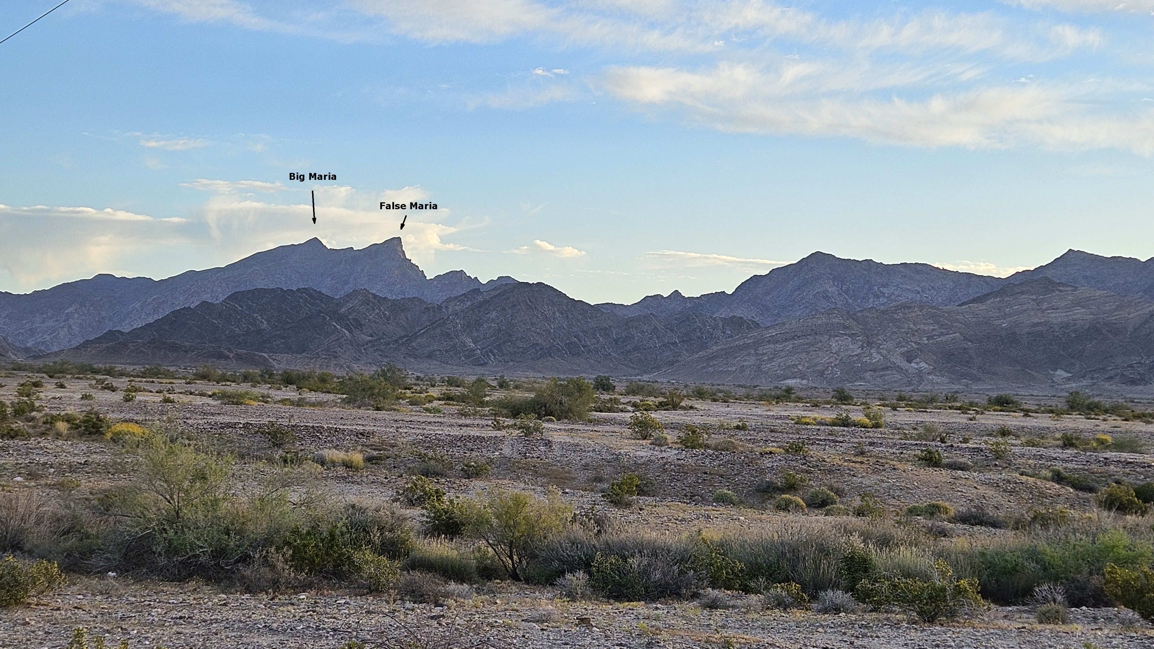
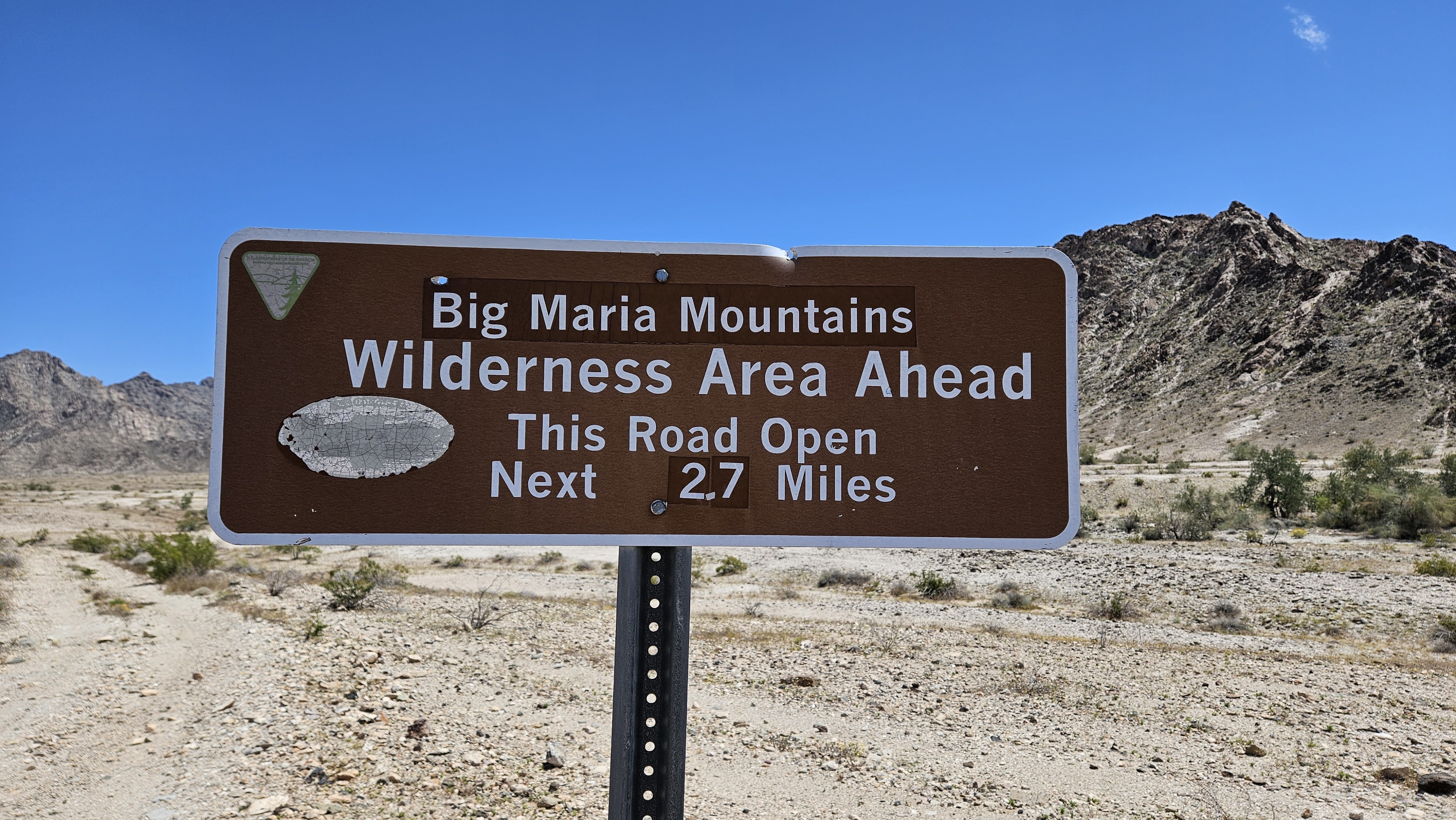
Another Sierra Club Desert Peak, Big Maria (DPS #92) is about 20 miles north of Blythe, CA. False Maria is a nearby peak on the same ridge line that is 1' lower according to the USGS. There is also a northern peak in the Big Maria Mountains that is 2' lower that I didn't visit. The starting point is accessed from Midland-Vidal Road, a dirt road that runs under the power lines. The road requires high clearance and I recommend 4x4 to deal with wash crossings.
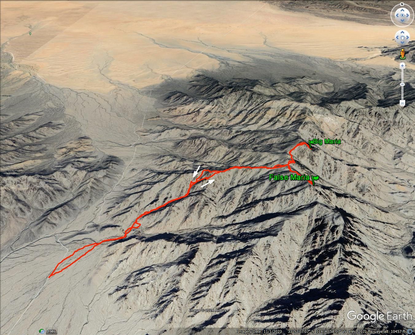
The main route goes up the major drainage. The DPS guide calls it class 1, but I had to use my hands often to get over and around stuff. Side gullies came in from all sides and some were tempting as I could see clear lines to blue sky. However, most didn't lead to advantageous spots on the ridge. The middle part of the drainage was more open and I made better time.
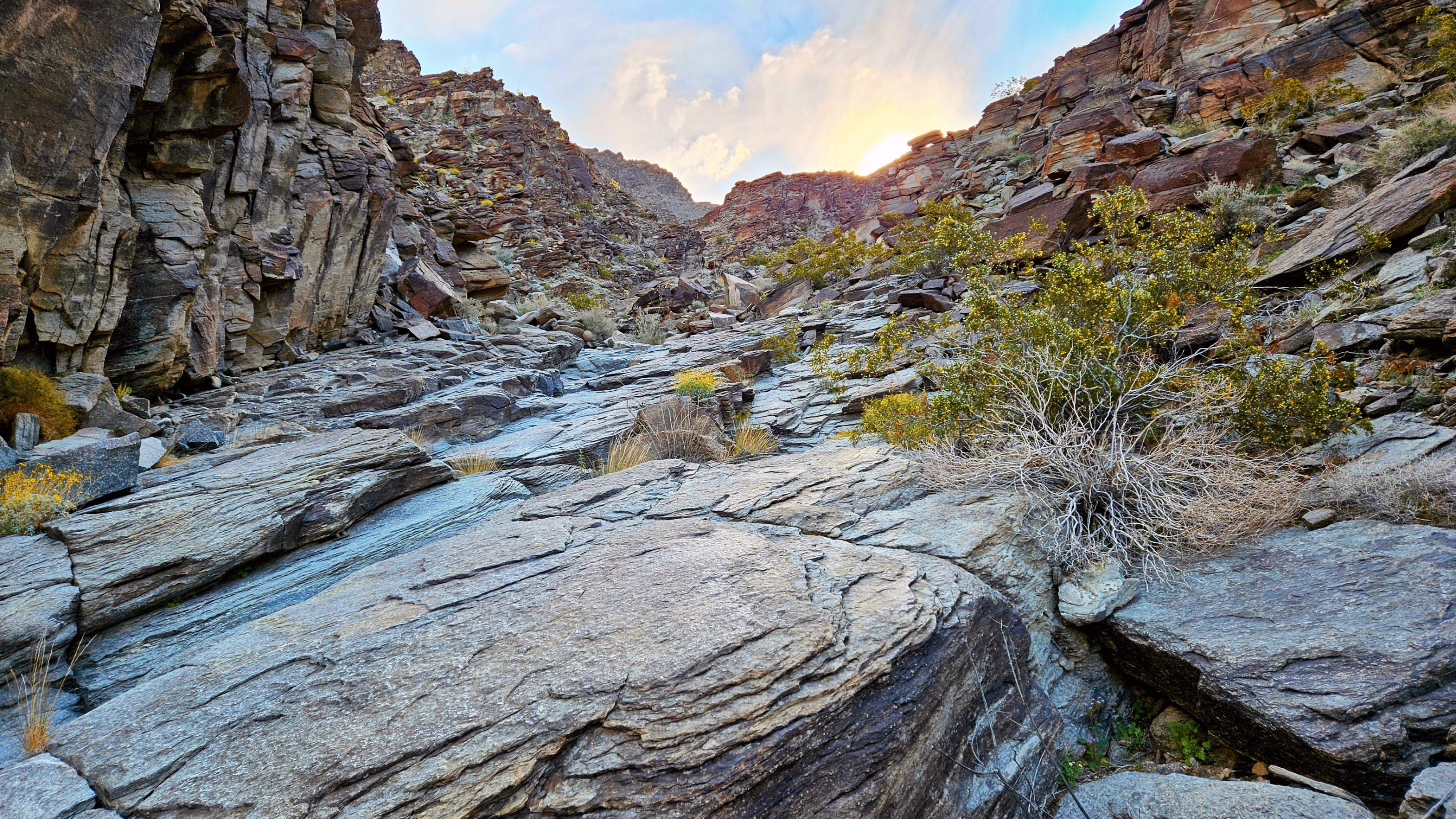
The open middle part of the drainage
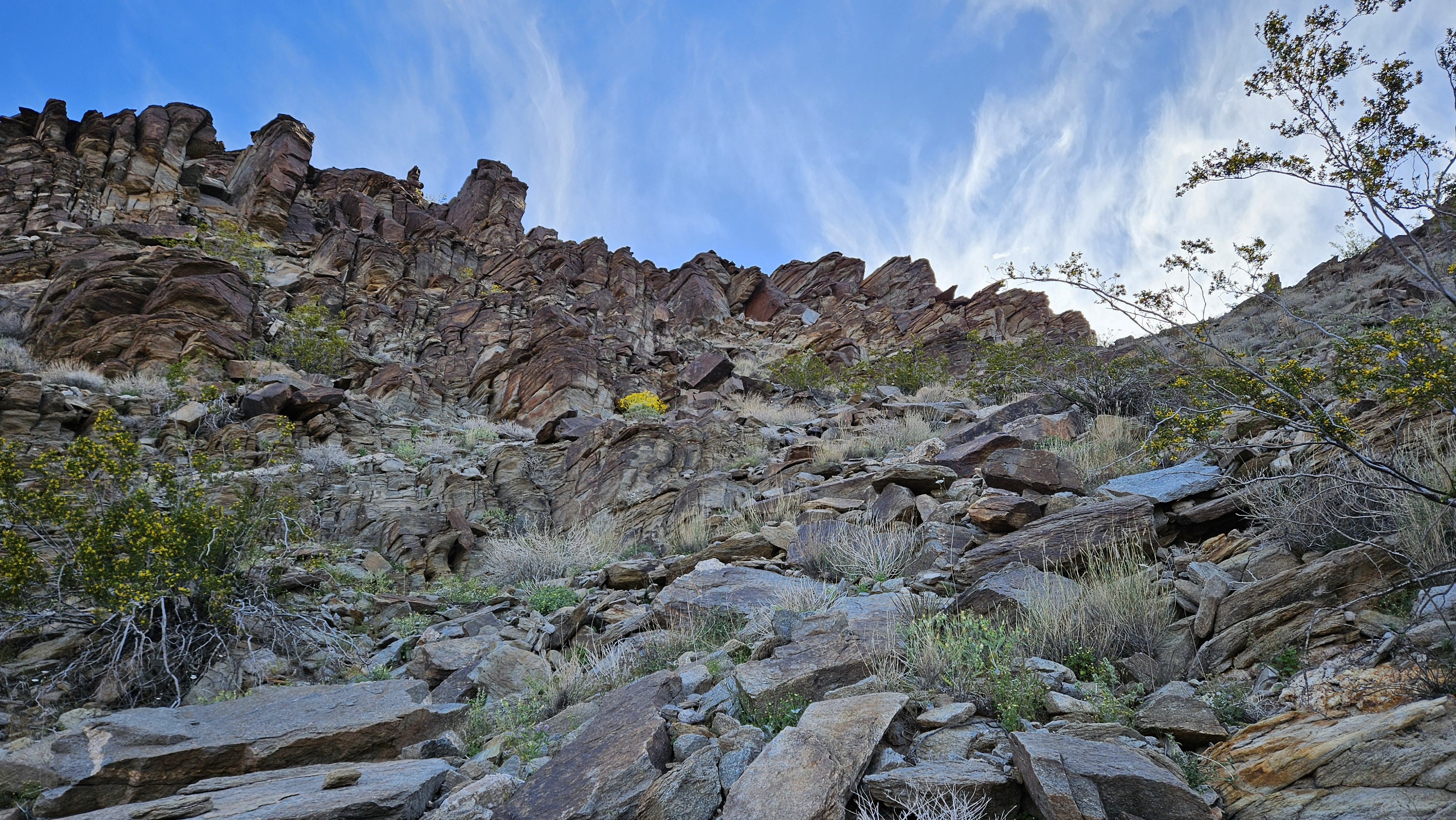
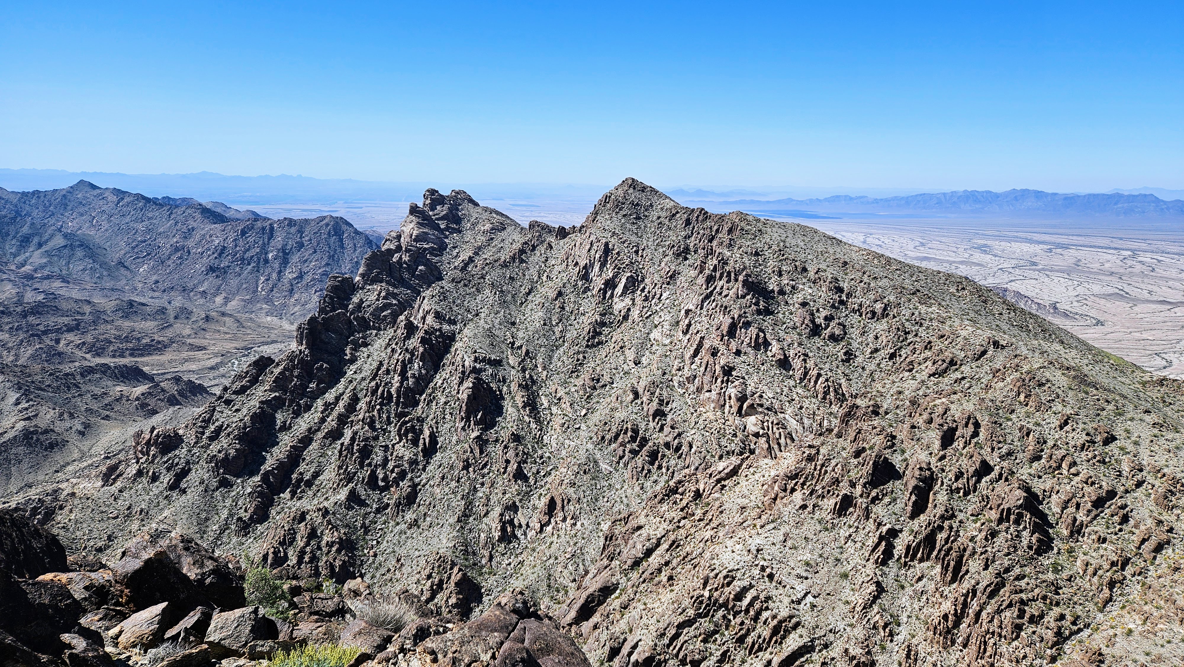
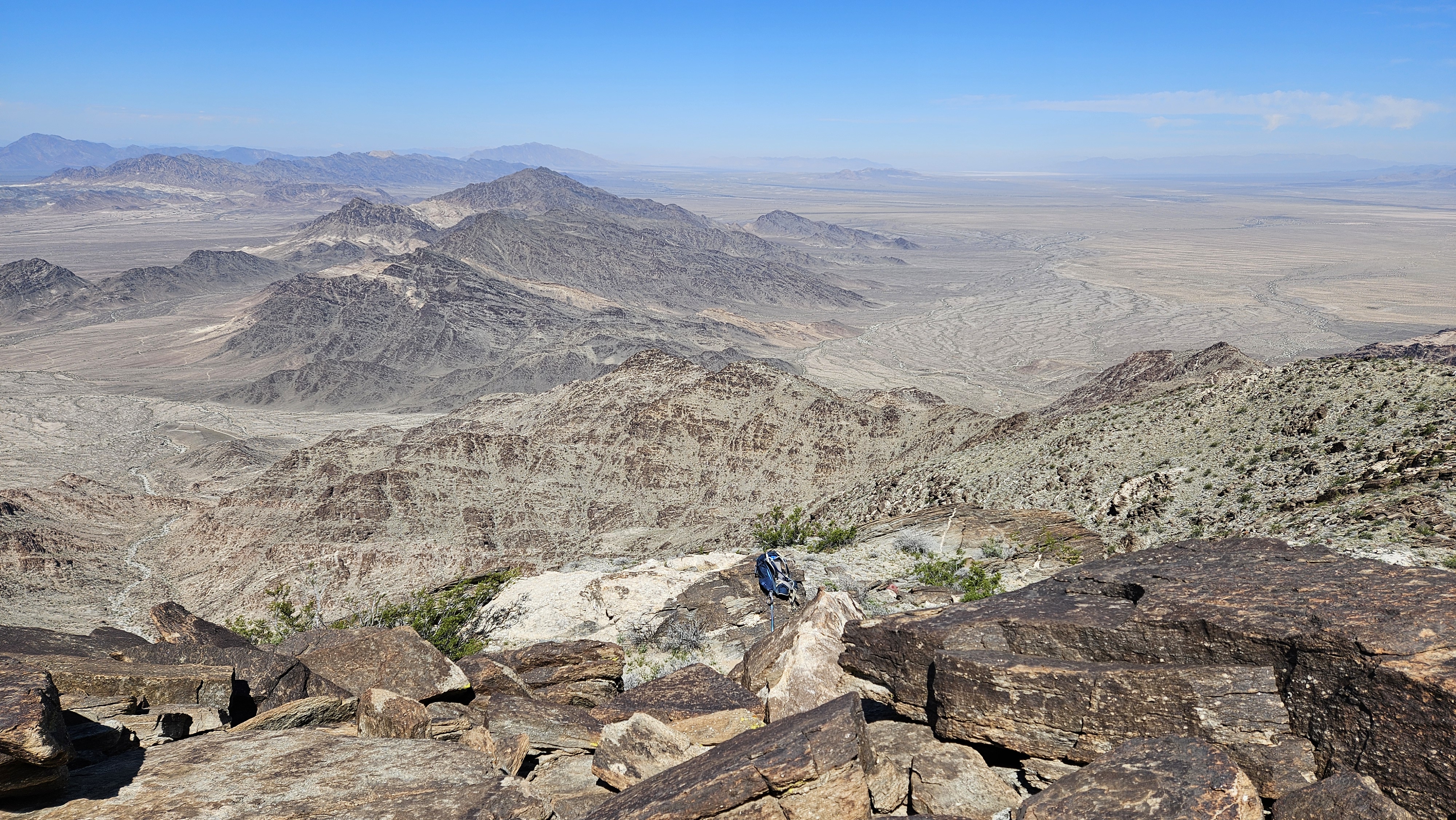
The crux was the upper drainage which got very steep with loose dirt and fewer rocks for aid. I was nearly to the top when I realized the route was in the gully left of me. I didn't want to descent three hundred feet to get back on route so I hoped I could find a way to the main ridge. When I hit the top, I could see Big Maria and the connecting ridge. I was able to side hill safely around the top of the bump to reach the ridge. It had worked out nicely. The climb to the saddle between Big and False was a little over a half mile, filled with minor bumps. After crossing a small rise, Big Maria came into view, looking more massive than it appeared in photos. Twenty minutes later, I was on the summit with expansive views of the desert and distant farmland. The summit had been without a register for years, but a gray plastic box held a new DPS register from January, 2024. I was the third entry in the book.

Big Maria
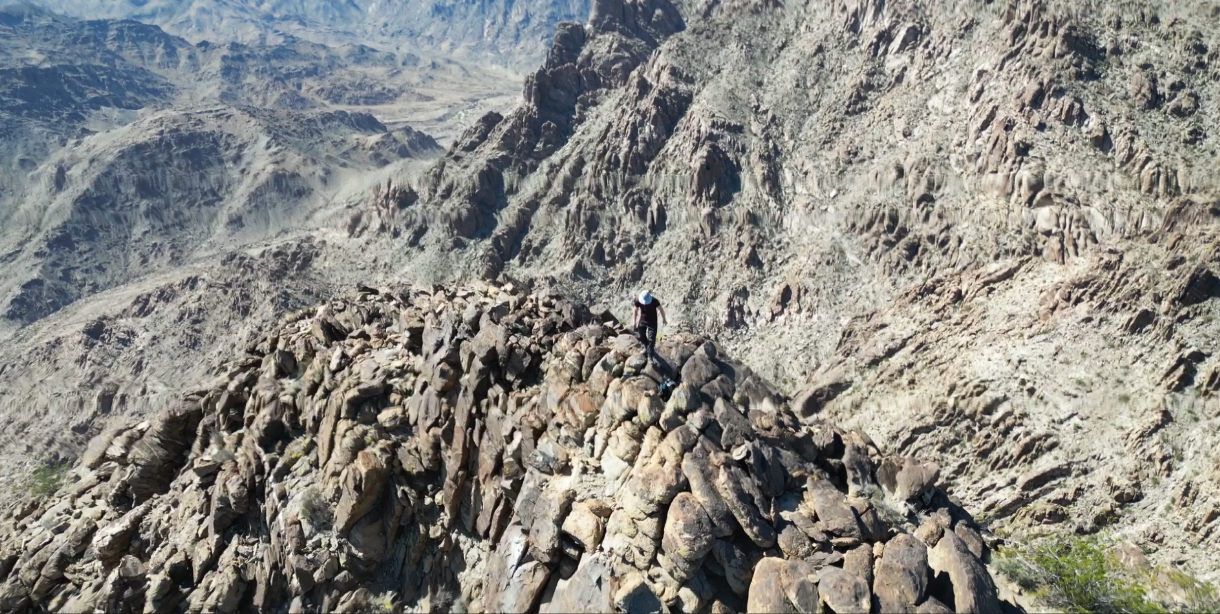
False Maria
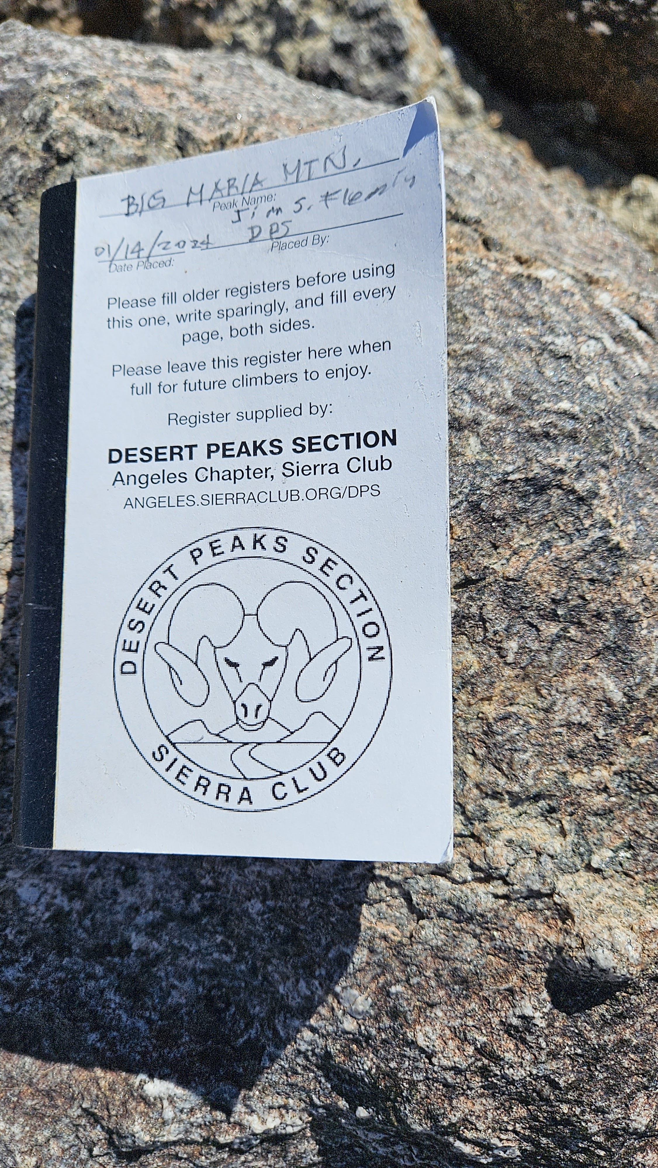

It started warming up in the late morning, so I set out at a determined pace and made it to the top of False Maria in good time. I signed the much older and fragile register there dating back to the late 1990s. When I started back, I took the main route down. I didn't descend the side gully I came up, but it seemed better and more direct than the main route. It also avoided having to go over a big bump on the ridge. I would stick to my my unofficial ascent path both ways if I came back. I took one break in a rare shady spot on the way down. The rocks were getting warm to the touch over the last mile. Big Maria was immensely satisfying and hit the sweet spot for duration and difficulty.
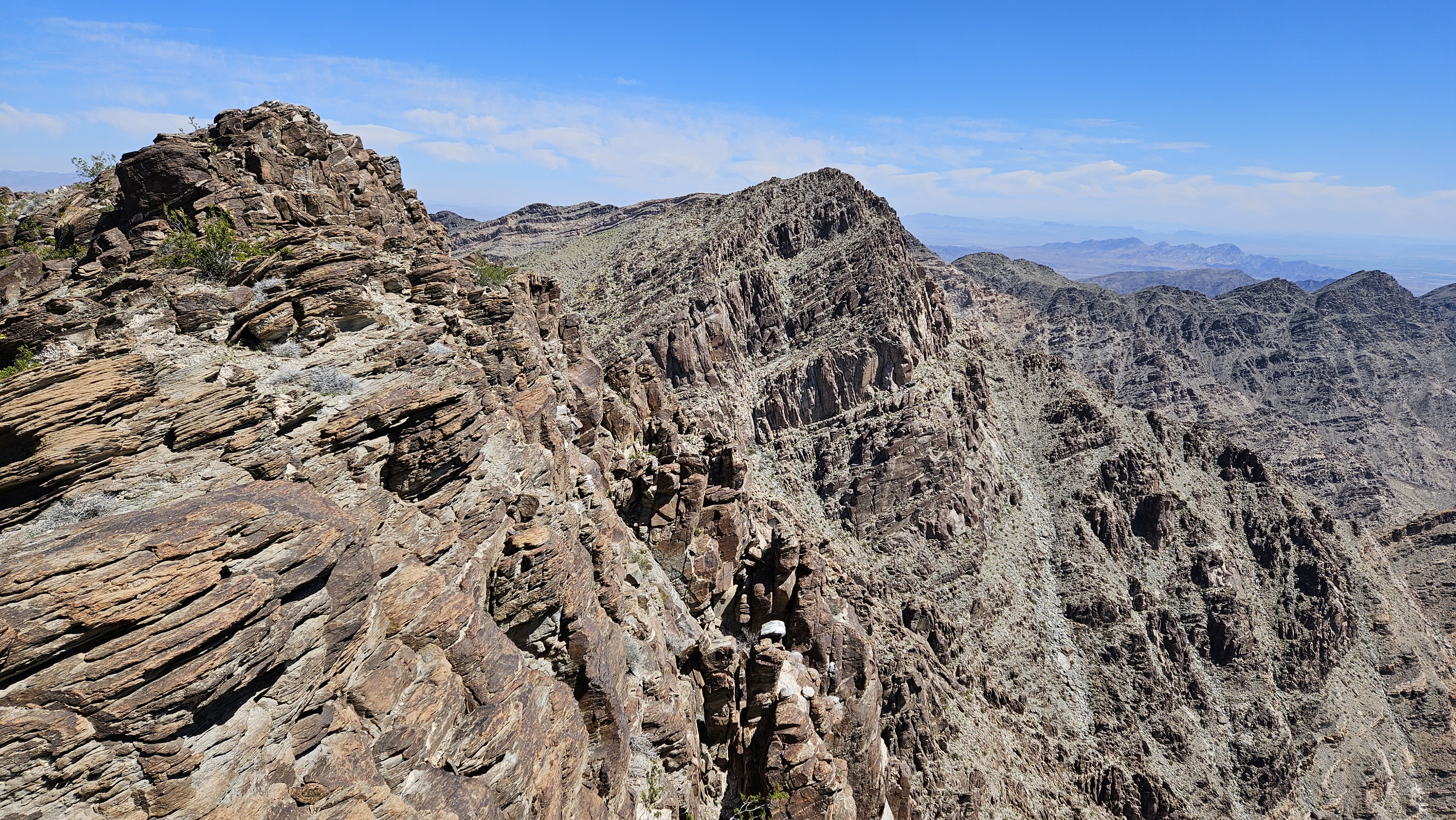
Big Maria on the way to False Maria


The main route goes up the major drainage. The DPS guide calls it class 1, but I had to use my hands often to get over and around stuff. Side gullies came in from all sides and some were tempting as I could see clear lines to blue sky. However, most didn't lead to advantageous spots on the ridge. The middle part of the drainage was more open and I made better time.


The open middle part of the drainage

The crux was the upper drainage which got very steep with loose dirt and fewer rocks for aid. I was nearly to the top when I realized the route was in the gully left of me. I didn't want to descent three hundred feet to get back on route so I hoped I could find a way to the main ridge. When I hit the top, I could see Big Maria and the connecting ridge. I was able to side hill safely around the top of the bump to reach the ridge. It had worked out nicely. The climb to the saddle between Big and False was a little over a half mile, filled with minor bumps. After crossing a small rise, Big Maria came into view, looking more massive than it appeared in photos. Twenty minutes later, I was on the summit with expansive views of the desert and distant farmland. The summit had been without a register for years, but a gray plastic box held a new DPS register from January, 2024. I was the third entry in the book.

Big Maria


False Maria


It started warming up in the late morning, so I set out at a determined pace and made it to the top of False Maria in good time. I signed the much older and fragile register there dating back to the late 1990s. When I started back, I took the main route down. I didn't descend the side gully I came up, but it seemed better and more direct than the main route. It also avoided having to go over a big bump on the ridge. I would stick to my my unofficial ascent path both ways if I came back. I took one break in a rare shady spot on the way down. The rocks were getting warm to the touch over the last mile. Big Maria was immensely satisfying and hit the sweet spot for duration and difficulty.

Big Maria on the way to False Maria


