Mount Humphreys, AZ
Posted: Fri Aug 11, 2023 11:18 am
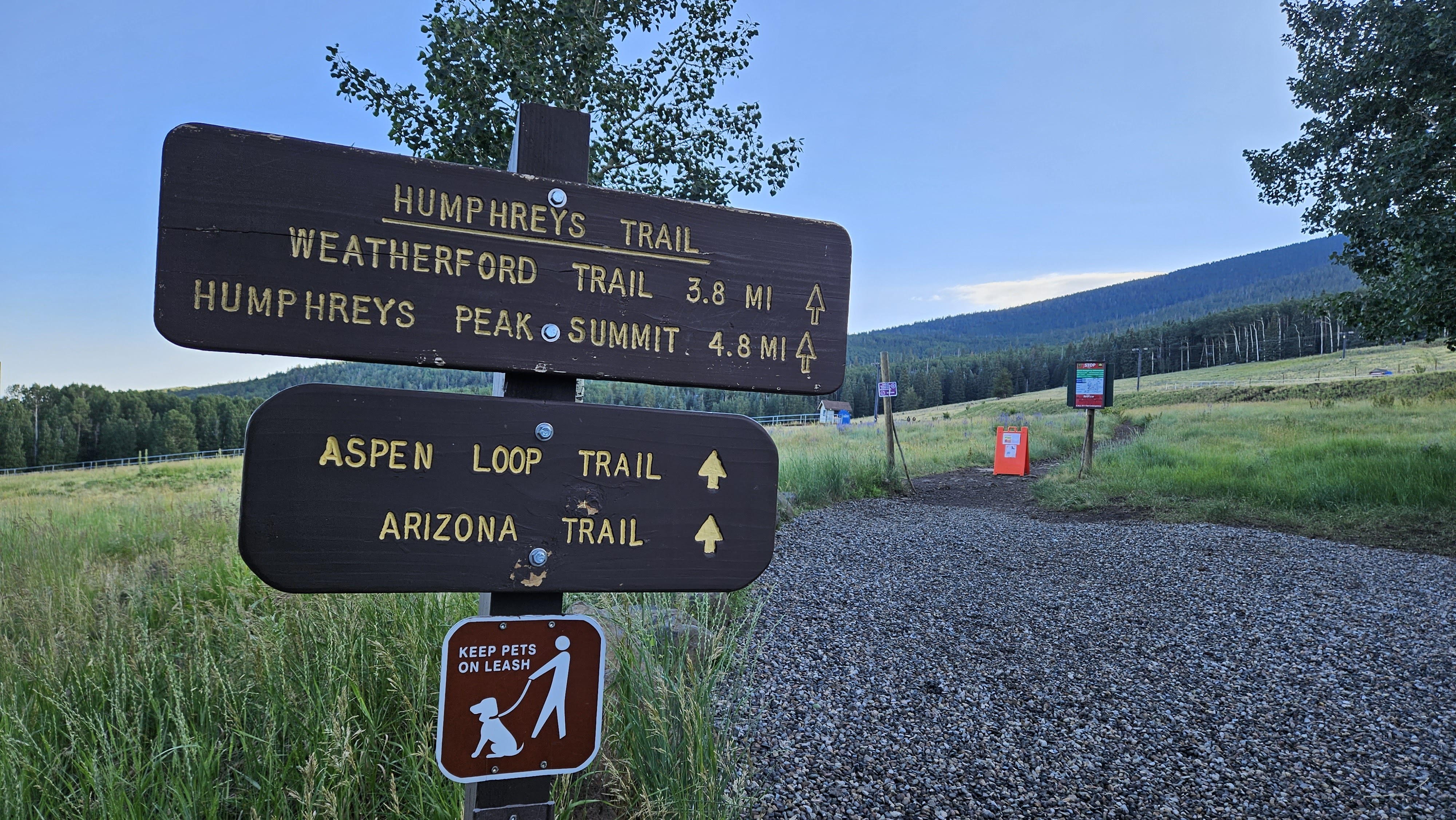
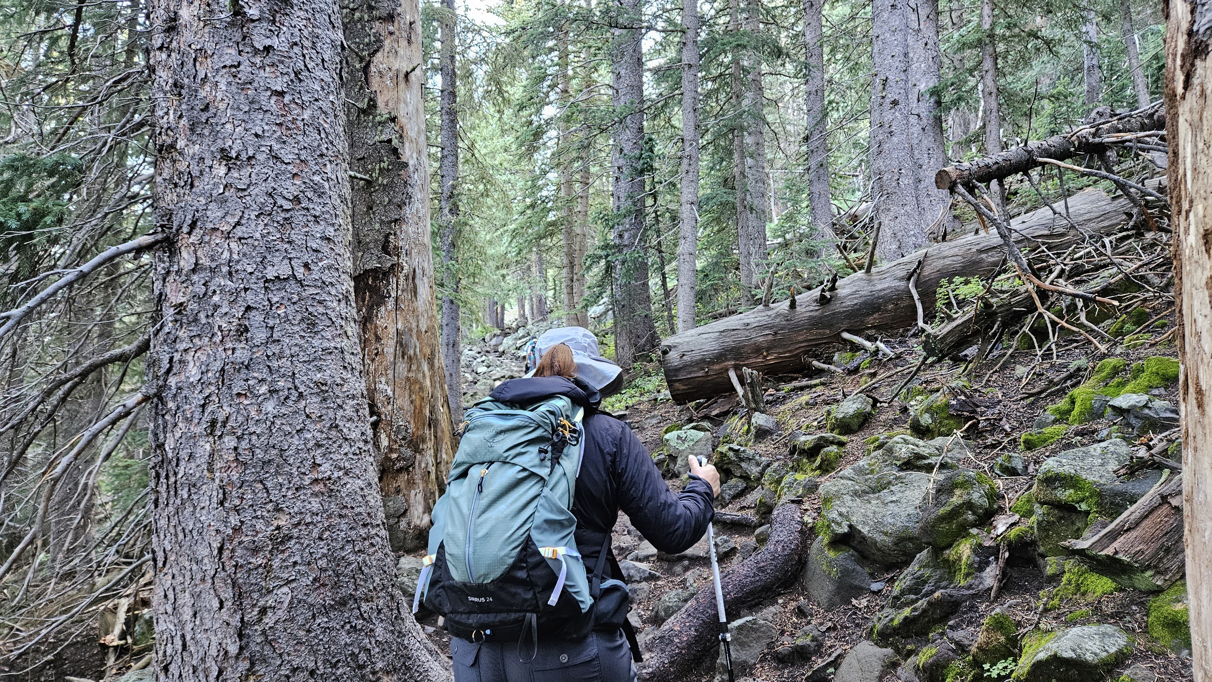
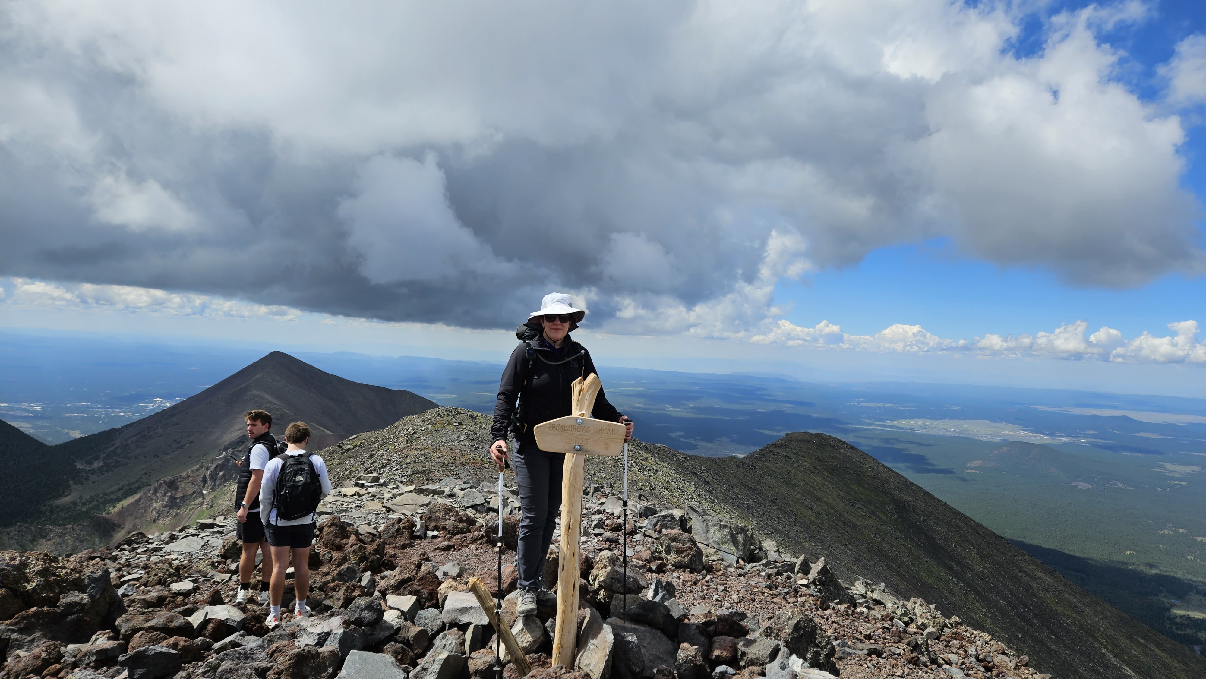
Humphreys Peak (12,633') is the Arizona high point. Leisa and I drove to the Humphreys Peak trail parking lot on 8/3/23 at 7 AM. It's a huge lot that could hold at least 100 cars and there were already about 20. August is still monsoon season, so a normal start would be daybreak between 5-5:30 AM, but the forecast was clear skies so we started late. There were four portable toilets at the trailhead. Take advantage of them as privacy was an issue on this hike. The start of the trail goes through dense, shaded forest with tall deciduous and coniferous trees. The trail was damp but not wet. The first mile had a lot of medium sized rocks and exposed roots: trip traps. Long zig zag switchbacks define the trail below the saddle. At 10,500', the deciduous trees faded. The tree line ended at the saddle where the Weatherford trail joins the Humphreys trail.
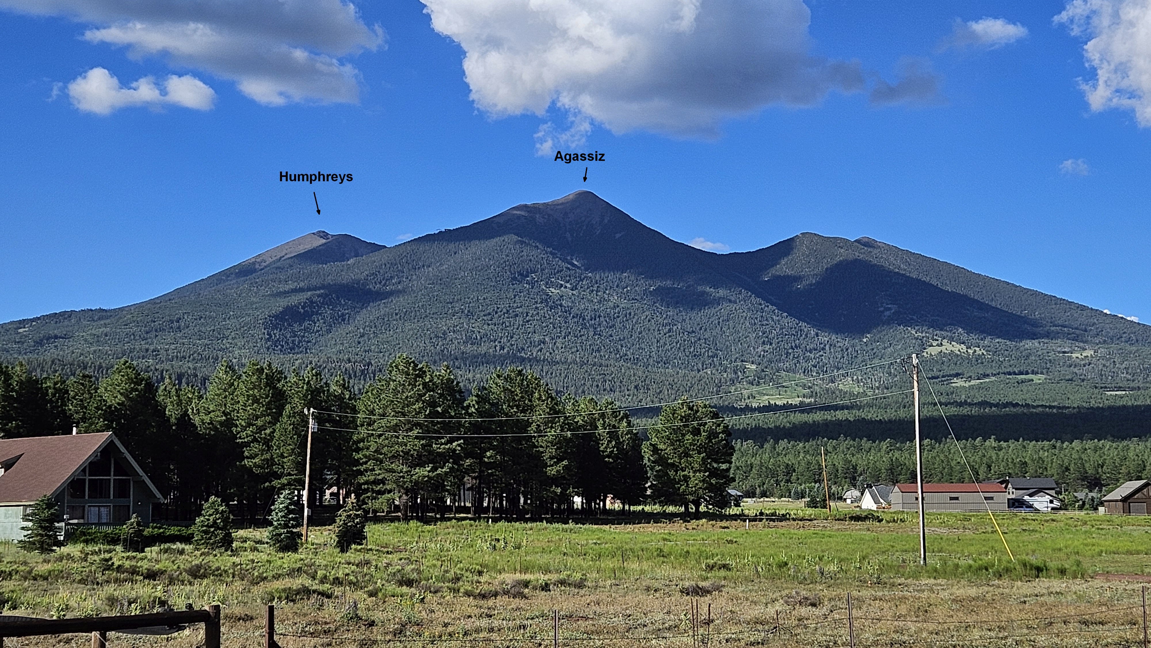
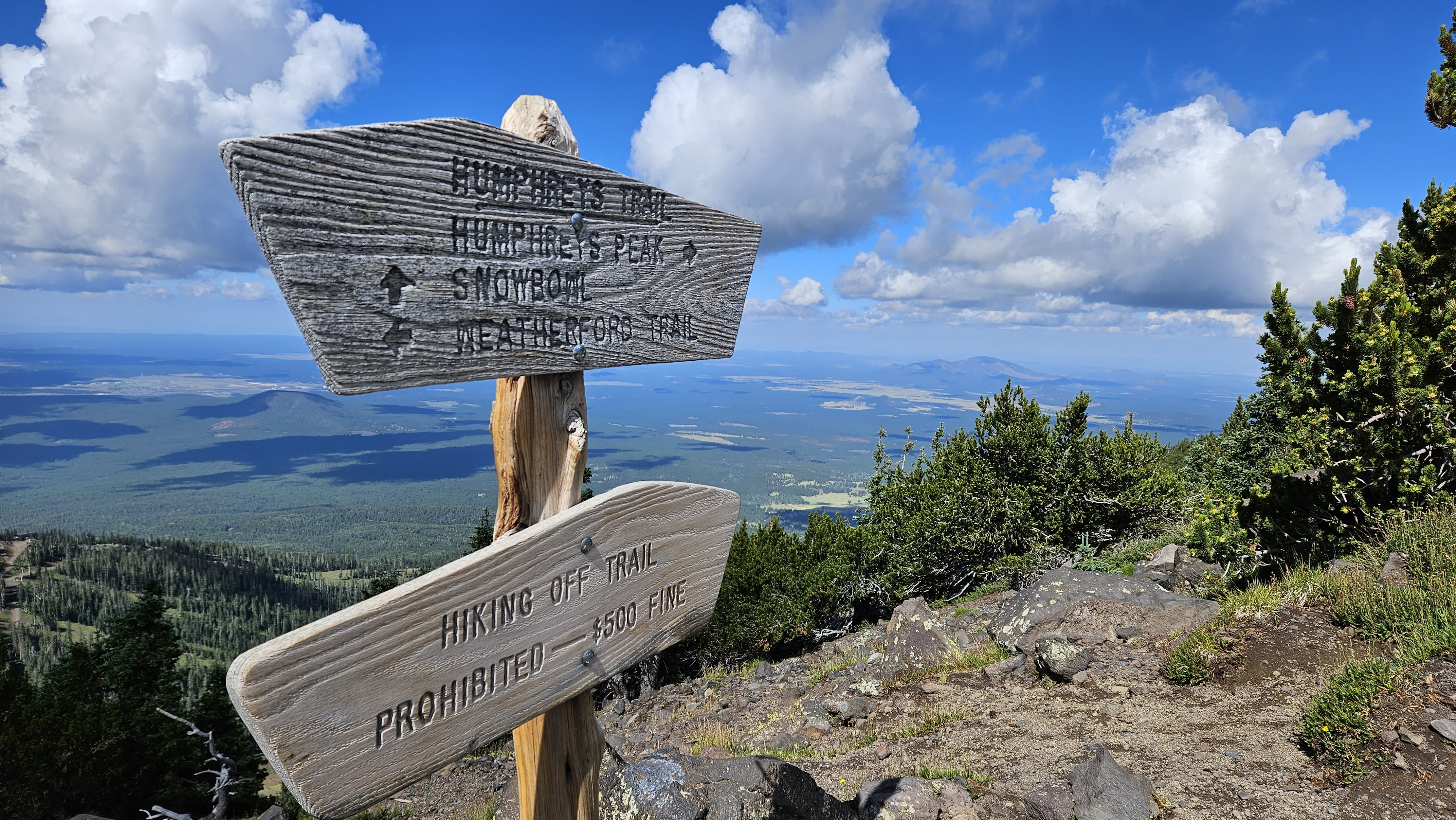
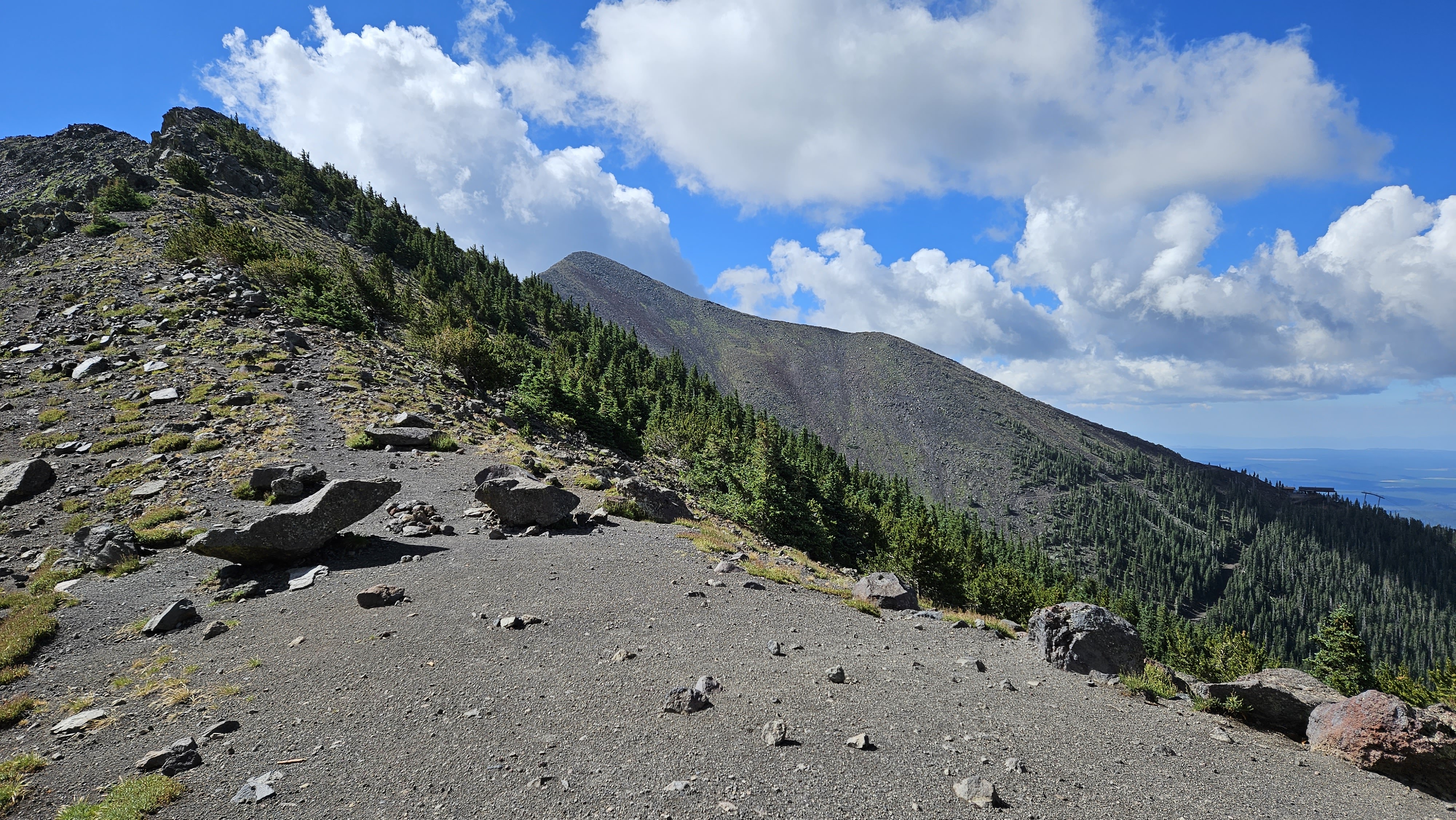
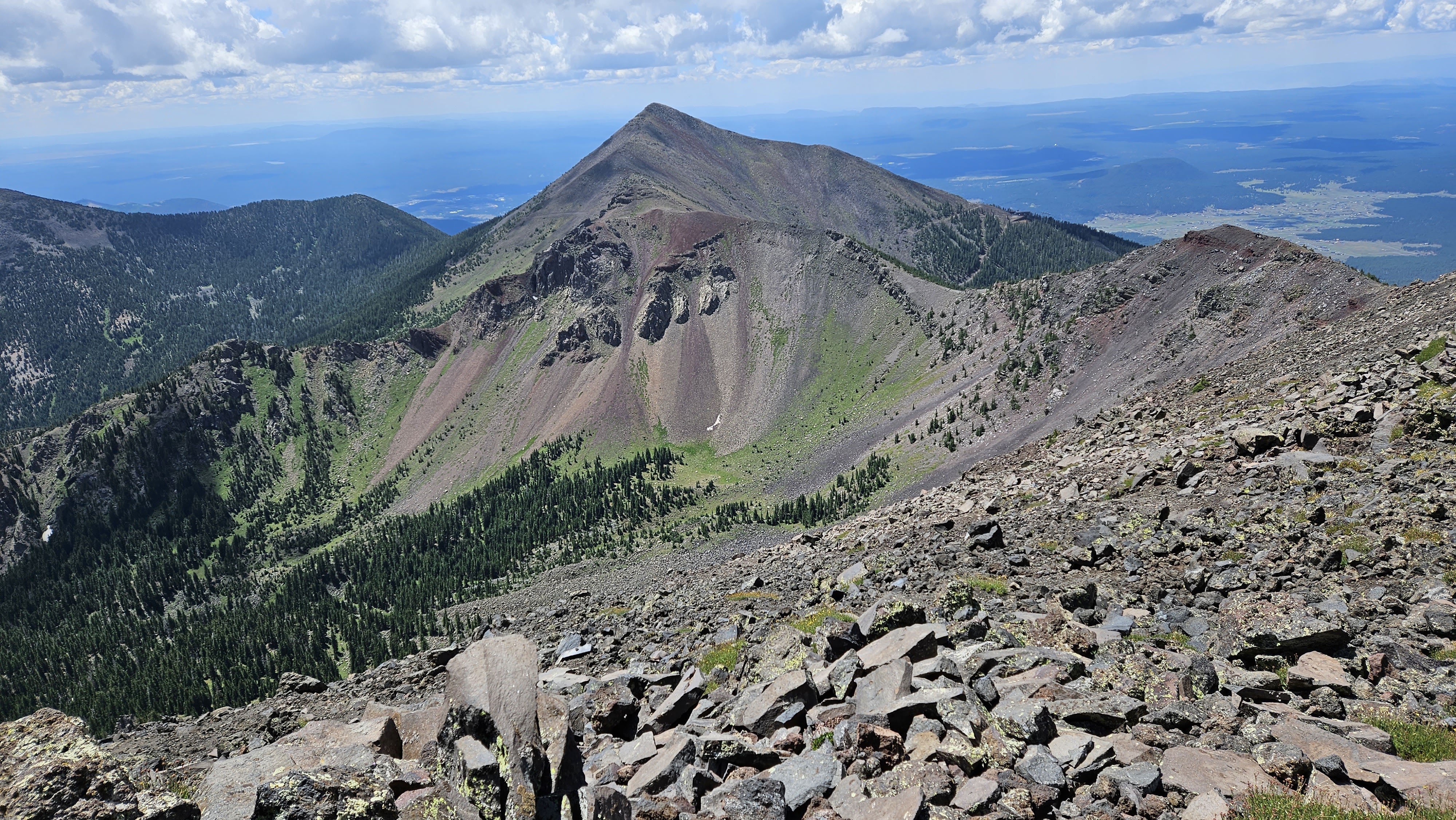
Looking toward Agassiz, off limits due to native plants, except when covered in snow
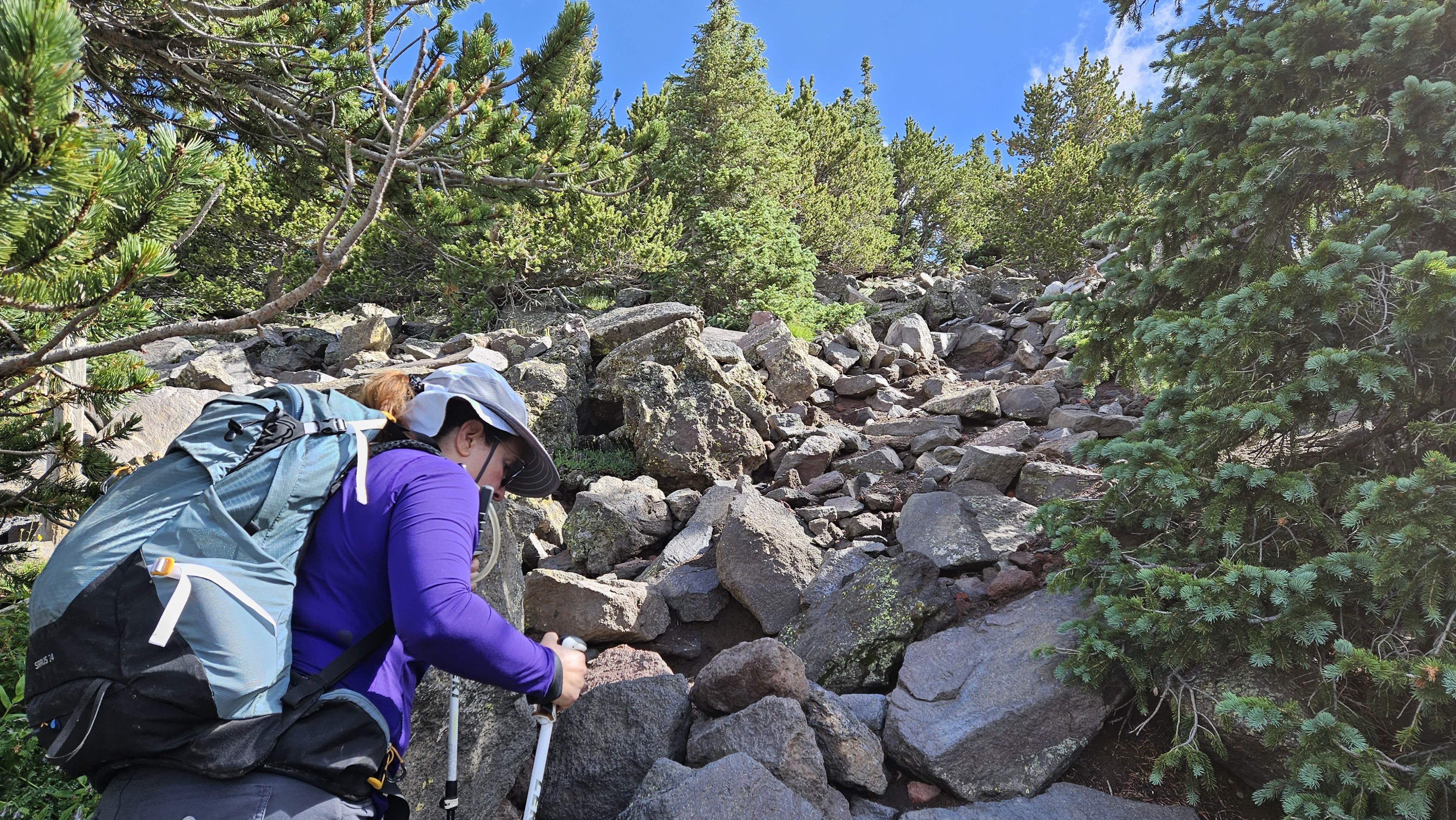
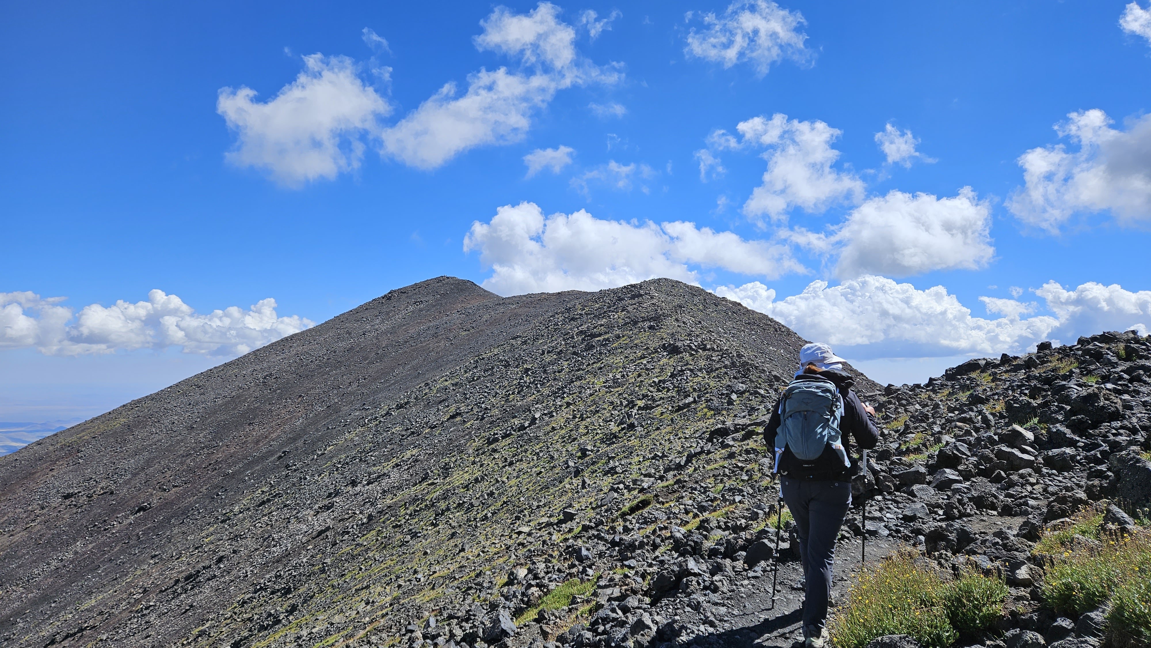
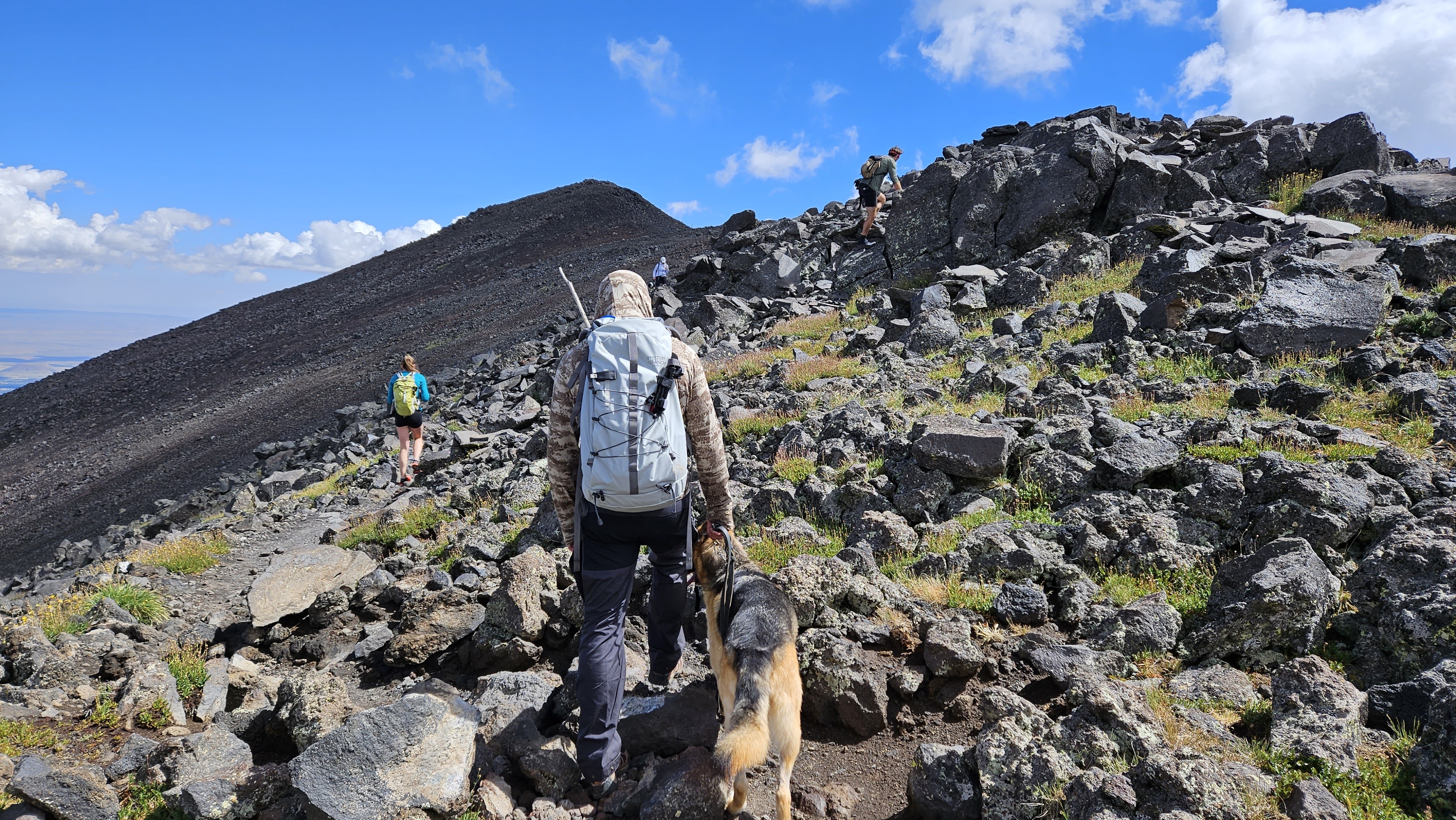
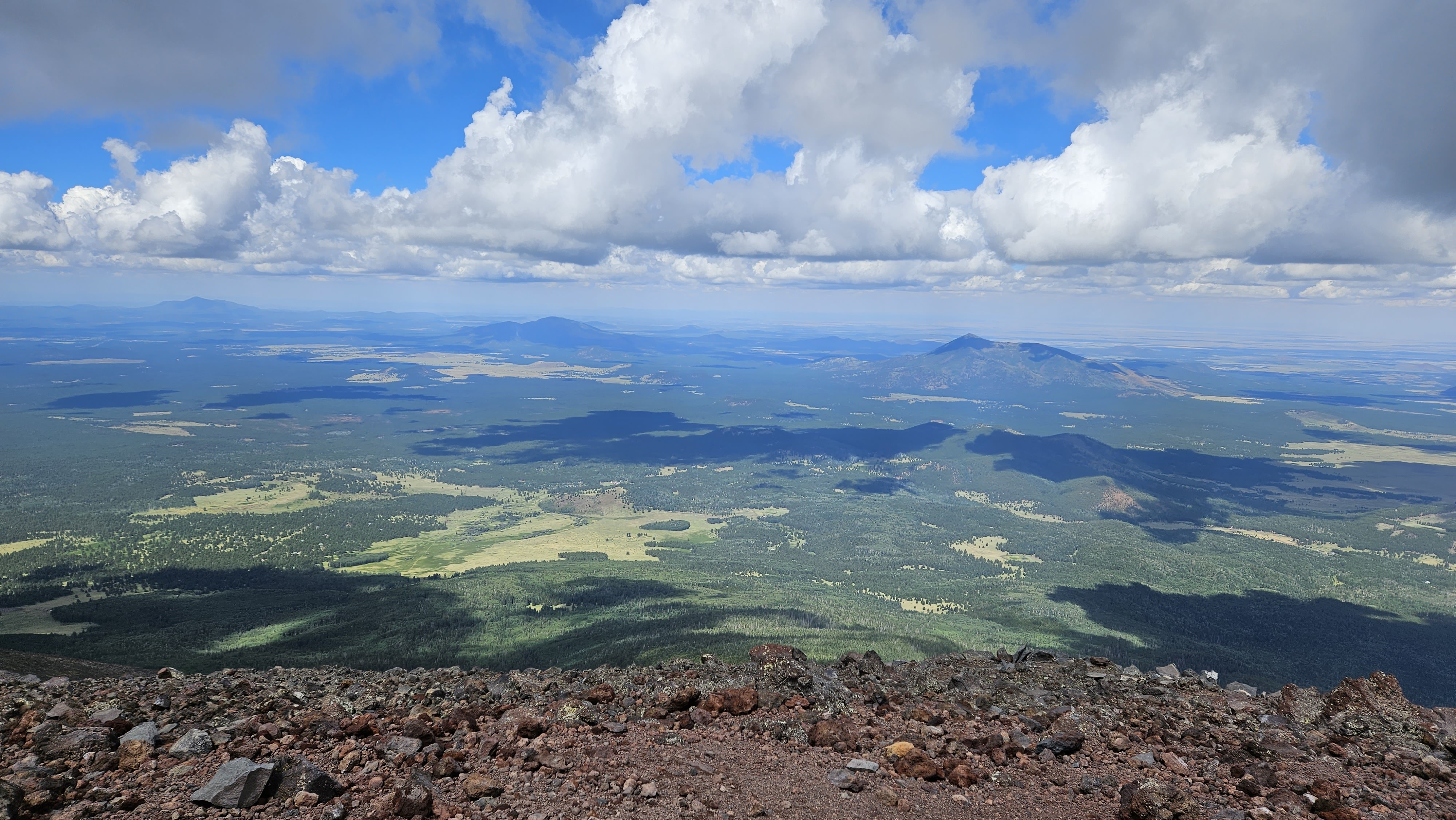
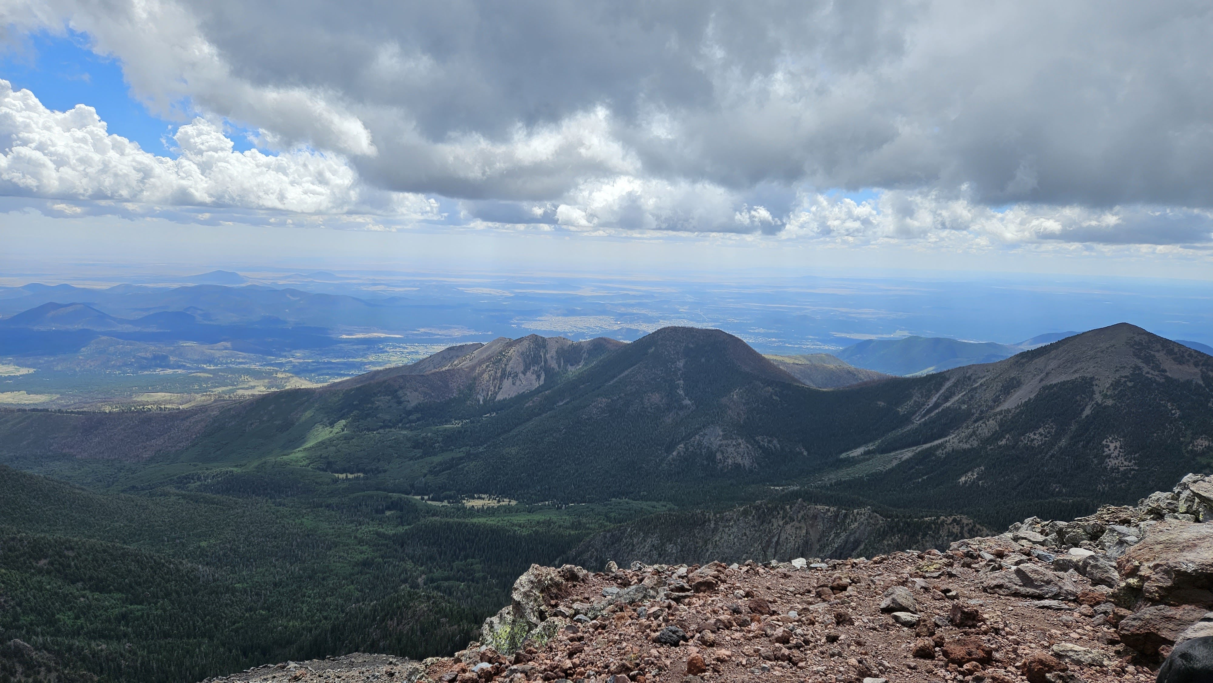
Beyond the saddle, the trail was harder to follow. It immediately dropped below the ridge line and was marked with wooden poles. There were rocky, uneven strips where large 18-24" steps were necessary. We not expecting the number of dogs on the trail. I counted six of various breeds. The dogs didn't seem bothered by the elevation, but I was worried about their paws on the volcanic rock. While the going was not overly steep, I felt the elevation. We traversed over three false summits at a steady pace, arriving on the summit just before 11 AM. Counting us, there were ten people and two dogs on the summit. Views were stellar in all directions. There were two ammo register boxes with lots of notebooks. The wind started blowing enough to make things cold and we started down. With so many people on the trail and a sparse forest, it's a problem finding a place to relieve yourself. We discovered a hidden spot just above the saddle, fifty feet off trail, surrounded on three sides by pines and the other side by a bump in the ridge. It was the only place we found for a moment of privacy. The descent was uneventful and we were back at the truck by 1 PM. Humphreys had been on my wish list for six years so it was sweet to check that box. It is one of only five ultra prominent peaks in AZ.
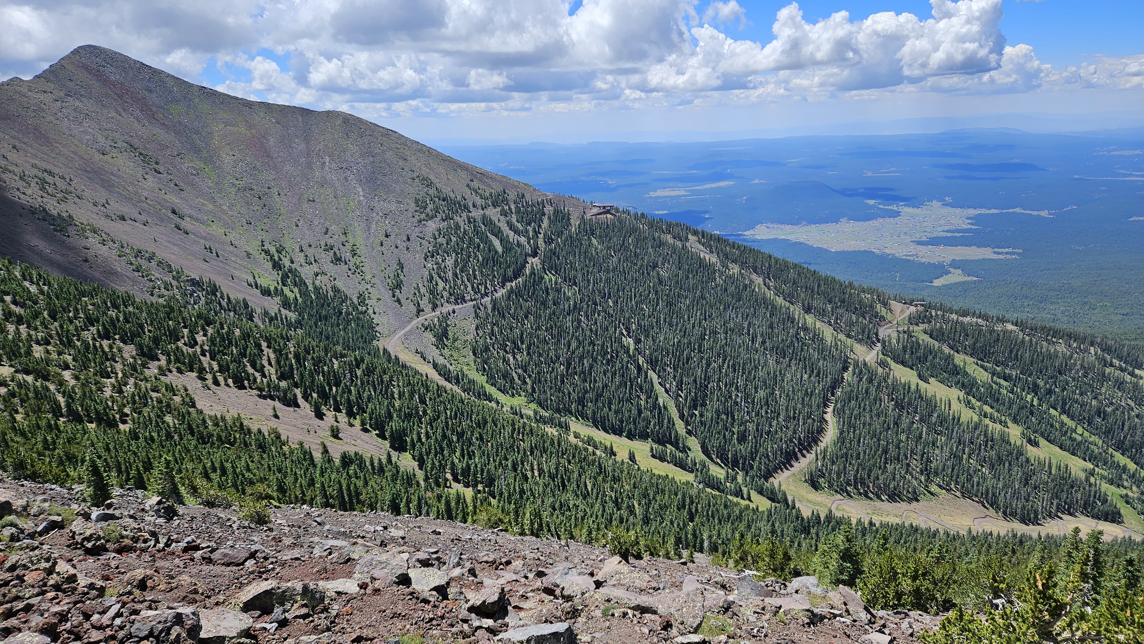
Ski runs on Agassiz
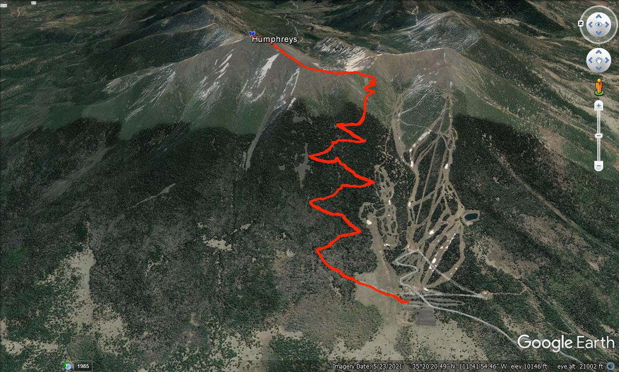
10.3 miles, 3353' gain


Looking toward Agassiz, off limits due to native plants, except when covered in snow
Beyond the saddle, the trail was harder to follow. It immediately dropped below the ridge line and was marked with wooden poles. There were rocky, uneven strips where large 18-24" steps were necessary. We not expecting the number of dogs on the trail. I counted six of various breeds. The dogs didn't seem bothered by the elevation, but I was worried about their paws on the volcanic rock. While the going was not overly steep, I felt the elevation. We traversed over three false summits at a steady pace, arriving on the summit just before 11 AM. Counting us, there were ten people and two dogs on the summit. Views were stellar in all directions. There were two ammo register boxes with lots of notebooks. The wind started blowing enough to make things cold and we started down. With so many people on the trail and a sparse forest, it's a problem finding a place to relieve yourself. We discovered a hidden spot just above the saddle, fifty feet off trail, surrounded on three sides by pines and the other side by a bump in the ridge. It was the only place we found for a moment of privacy. The descent was uneventful and we were back at the truck by 1 PM. Humphreys had been on my wish list for six years so it was sweet to check that box. It is one of only five ultra prominent peaks in AZ.


Ski runs on Agassiz

10.3 miles, 3353' gain