Detour At Dusk
Posted: Fri Nov 15, 2019 3:47 pm
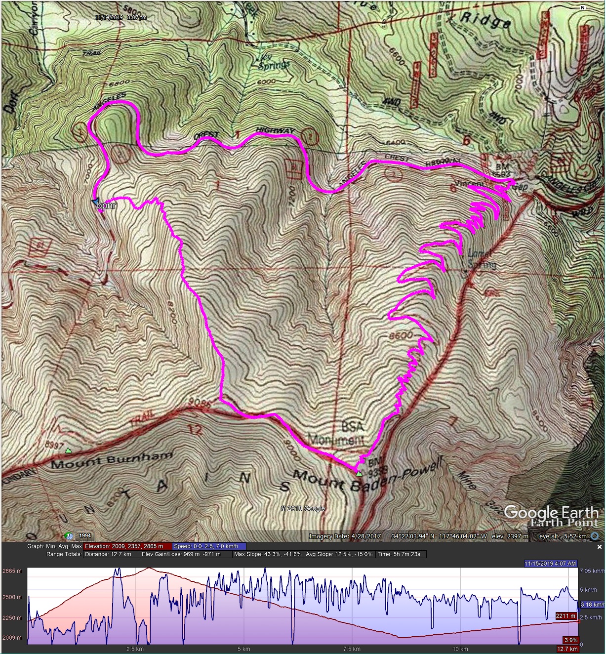
I did a quick run up Mt. Baden-Powell yesterday, taking one of several alternate routes I have on my todo list, the North West Ridge - AKA Rain Gauge Ridge. The start is a parking pull-out near a low stone wall and a rain gauge, where the NW ridge meets the highway. I started at a little after 3:00 PM, and was back at the car by sometime after 8:00 PM, going up the NW ridge, PCT to the summit, then PCT to Vincent Gap and highway back to the start.
The route up the NW ridge is quite pleasant. Any potential bushwhack can be easily rounded, and a nice use trail leads all the way to the PCT, passing several very nice campsites along the way. Weather was decidedly un-November again, and I was in shorts'n'shirtsleeves until nearly at the PCT (~8800' el) and minutes before sunset.
This time, I bothered to drag my tripod for some longer exposures, and learned that clouds don't stand still for 20 seconds! Some pics:
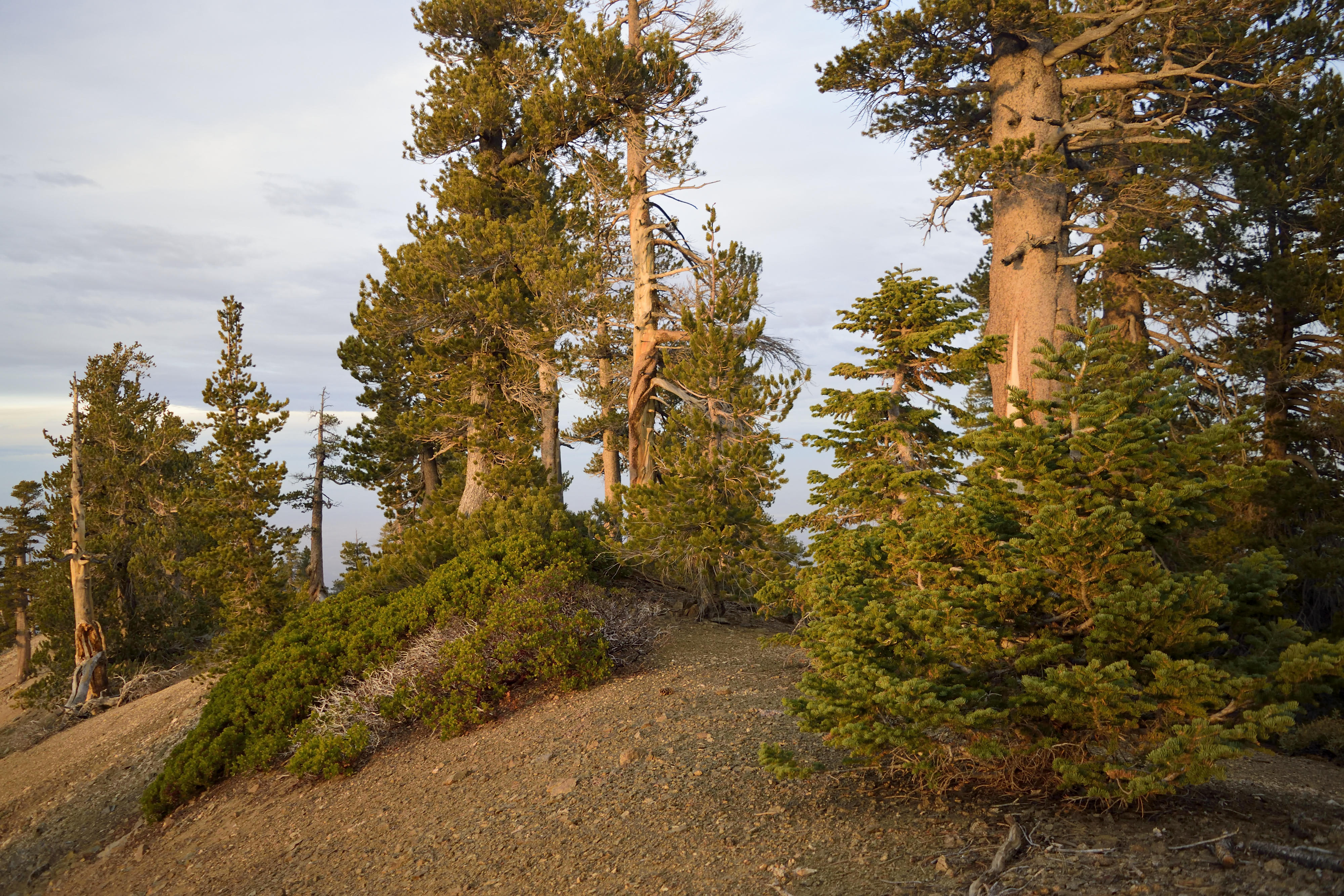
Typical difficult, dangerous, unpleasant cross country travel on the North West Ridge
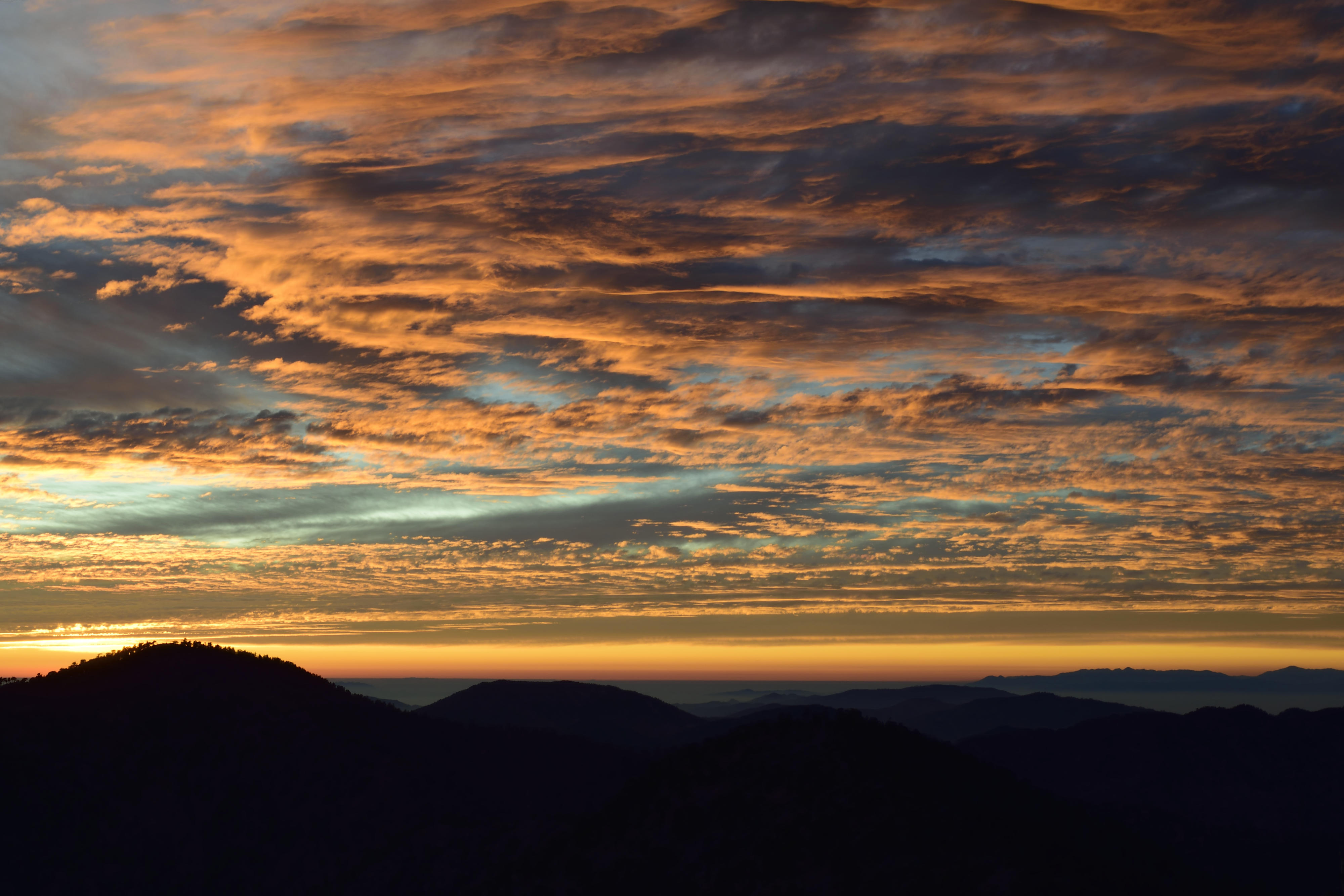
Sunset from just west of the summit
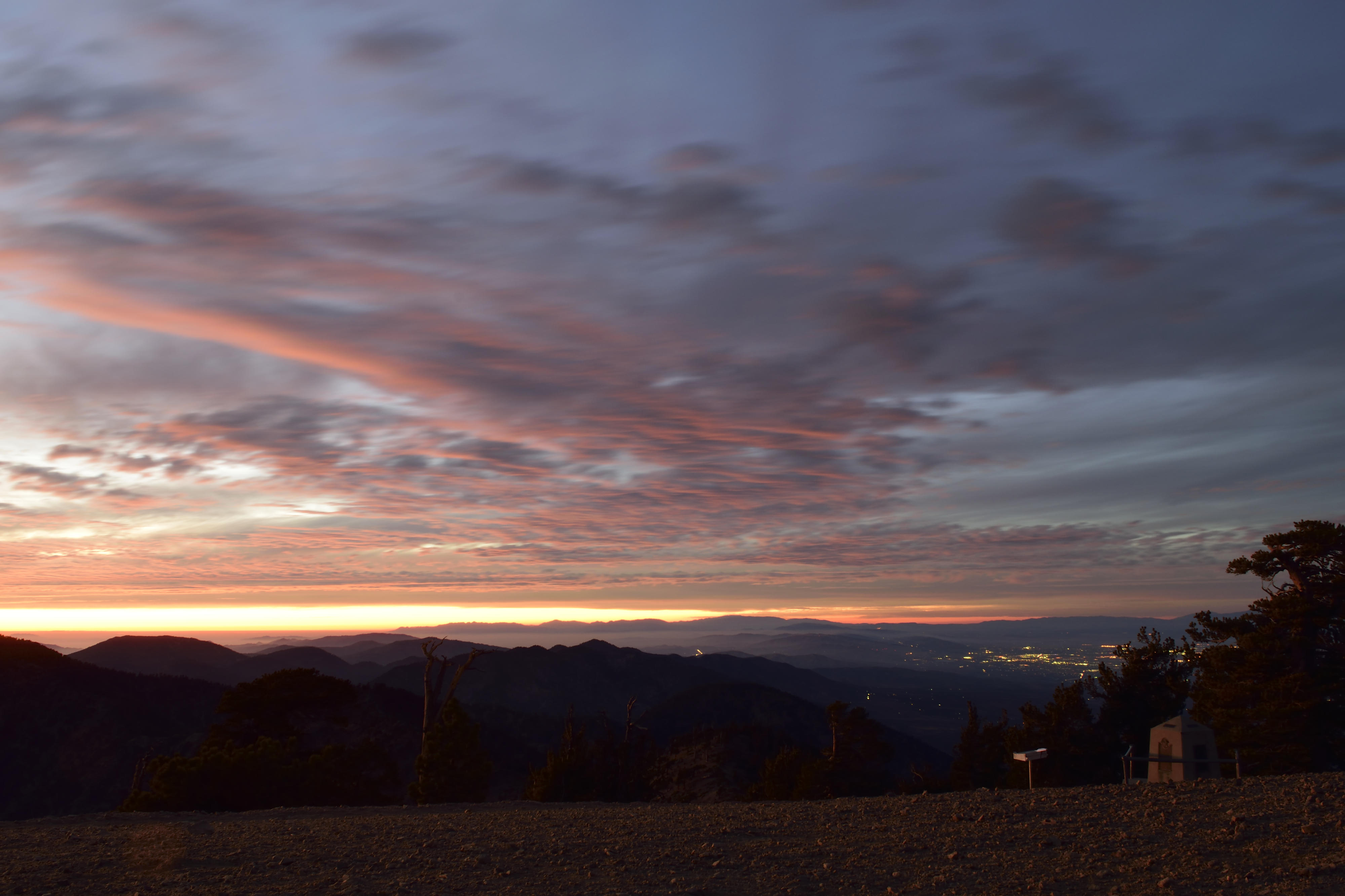
Last of the sunset, now on the summit
Route (counter-clock) and elev. profile
The route up the NW ridge is quite pleasant. Any potential bushwhack can be easily rounded, and a nice use trail leads all the way to the PCT, passing several very nice campsites along the way. Weather was decidedly un-November again, and I was in shorts'n'shirtsleeves until nearly at the PCT (~8800' el) and minutes before sunset.
This time, I bothered to drag my tripod for some longer exposures, and learned that clouds don't stand still for 20 seconds! Some pics:
Typical difficult, dangerous, unpleasant cross country travel on the North West Ridge
Sunset from just west of the summit
Last of the sunset, now on the summit
Route (counter-clock) and elev. profile