Afternoon Stroll Up Williamson
Posted: Wed Nov 06, 2019 12:12 am
I did a nice afternoon jaunt up Mt. Williamson on Monday, to firstly practice low-light/sunset photography with my good camera, and secondly to scout to see if my wife would enjoy the route. It's been probably more than 20 years since I'd been up Williamson from any angle, so I needed a refresher.
I got started from the Southwest Ridge trailhead (the Williamson Rock side) at a little after 2:00 PM, and settled into a relaxed pace, stopping occasionally to snap a shot. The trail is in excellent condition except for a couple rocky/rooty spots. After leaving the PCT, it's steep and a bit less traveled but very easy to follow. This route is one among a few in the San Gabriels that remind me greatly of the Sierra Nevada: 1) Williamson, 2) Twin Peaks, 3) Pine Mountain.
Also, there is a very interesting mix of forest here. I spotted the following on the hike up (some from a distance): Live Oak, Big Cone Douglas Fir, White Fir, Ponderosa Pine, Alder, Big Leaf Maple, Incense Cedar. It's interesting to see the douglas fir and white fir mix between 7,000'-8,000'. Also, for some glorious reason the manzanita far outnumbers the buckthorn!
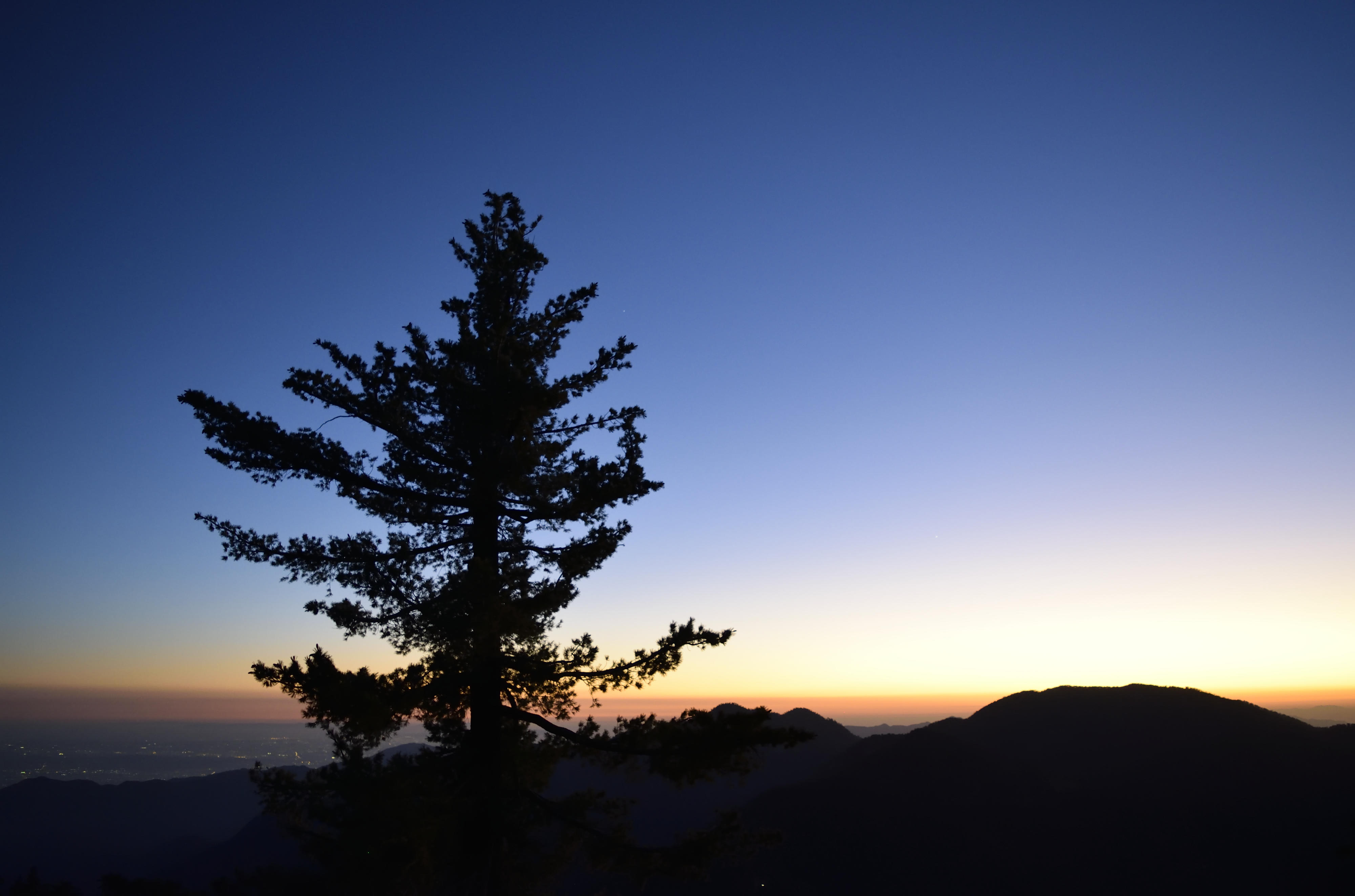
Summit views from Williamson are somewhat unique in the range. The absolute prominence is 800' (from Williamson-Pallette Saddle, ~7,600'), and there are huge canyons on three sides, and long sweeping ridges rising from many angles. It makes for dramatic sunset viewing:
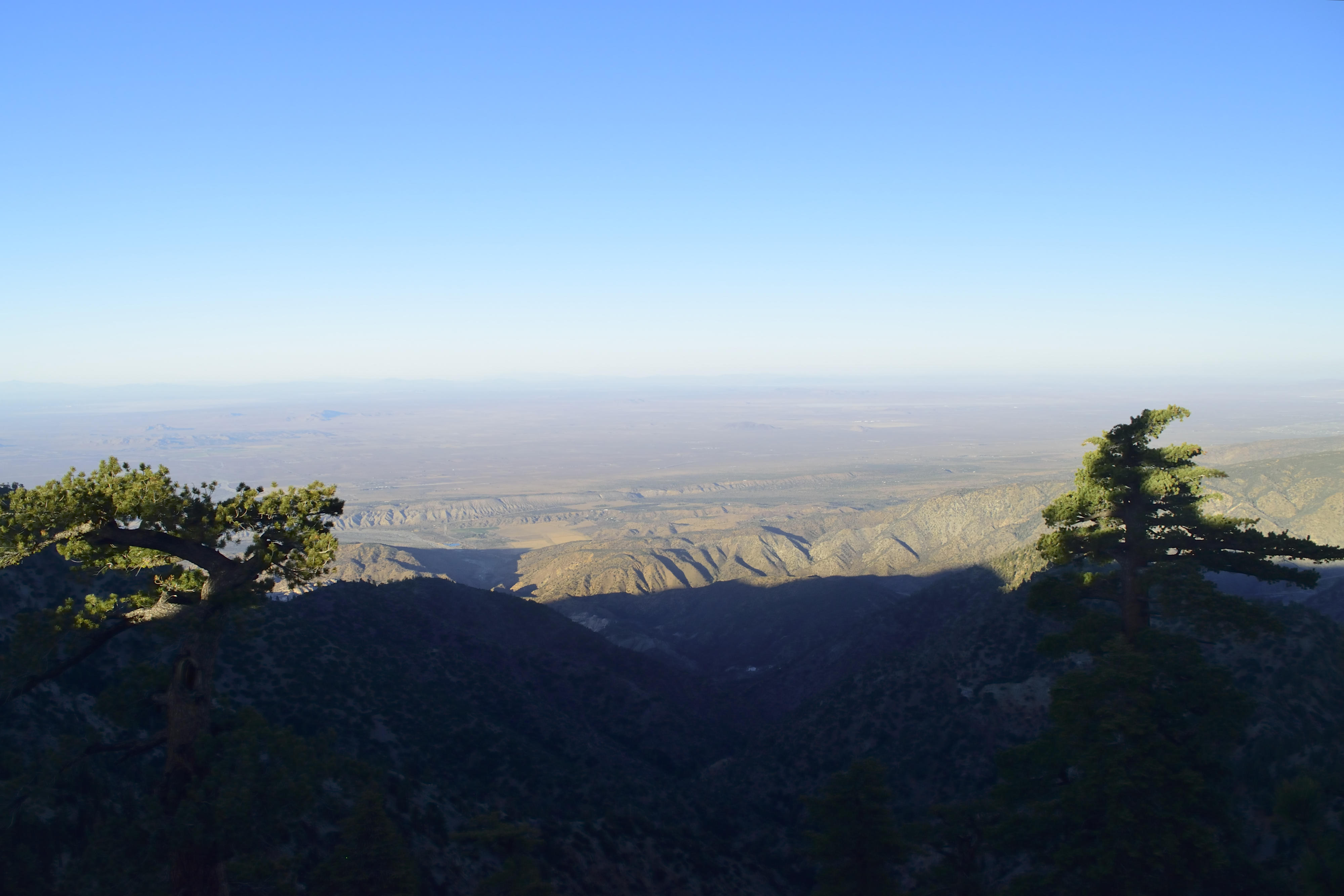
View Northeast: Valyermo is the green-ish valley midground; Saddleback Butte can be seen right of center
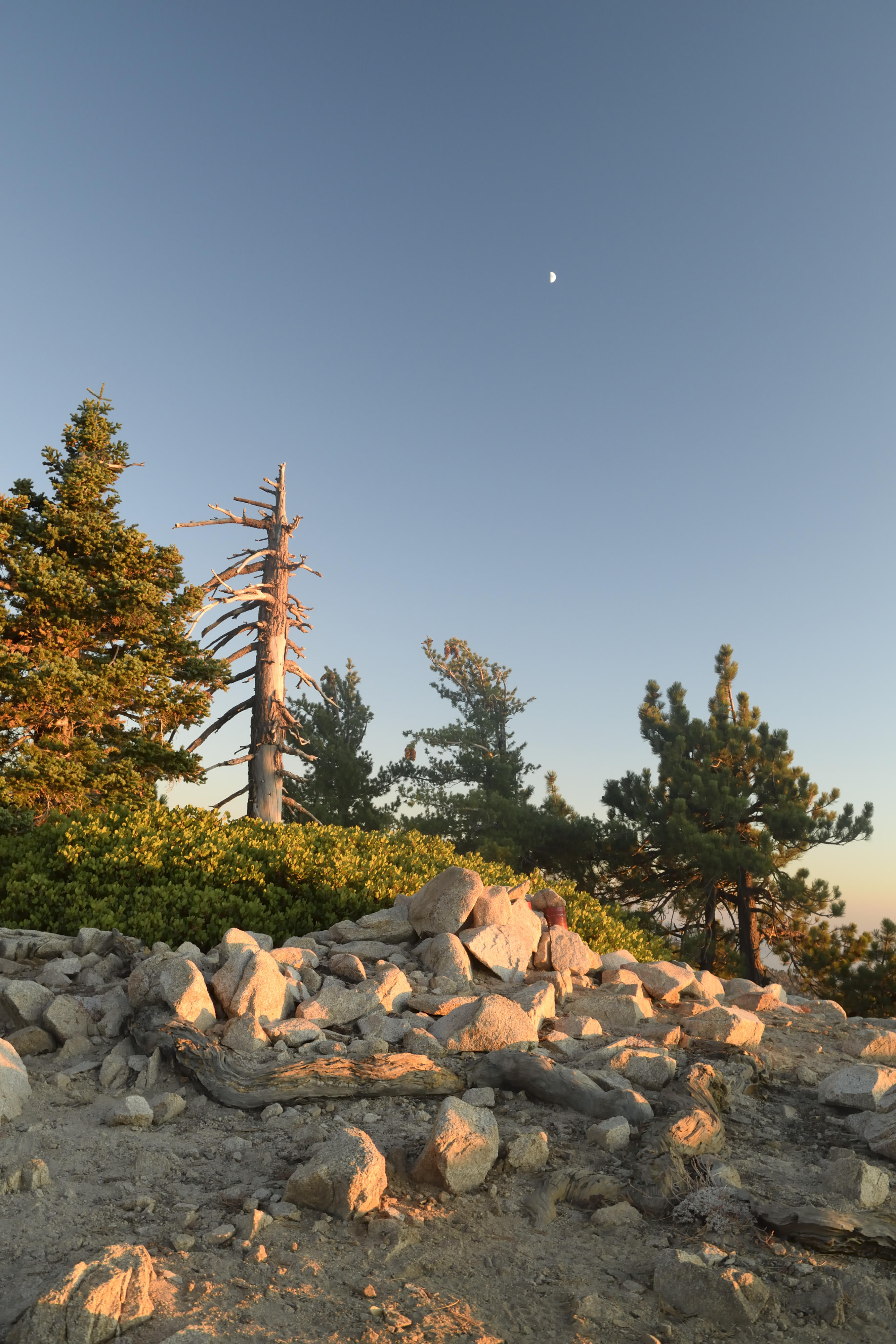
Summit of Mt. Williamson, with moon, and summit register
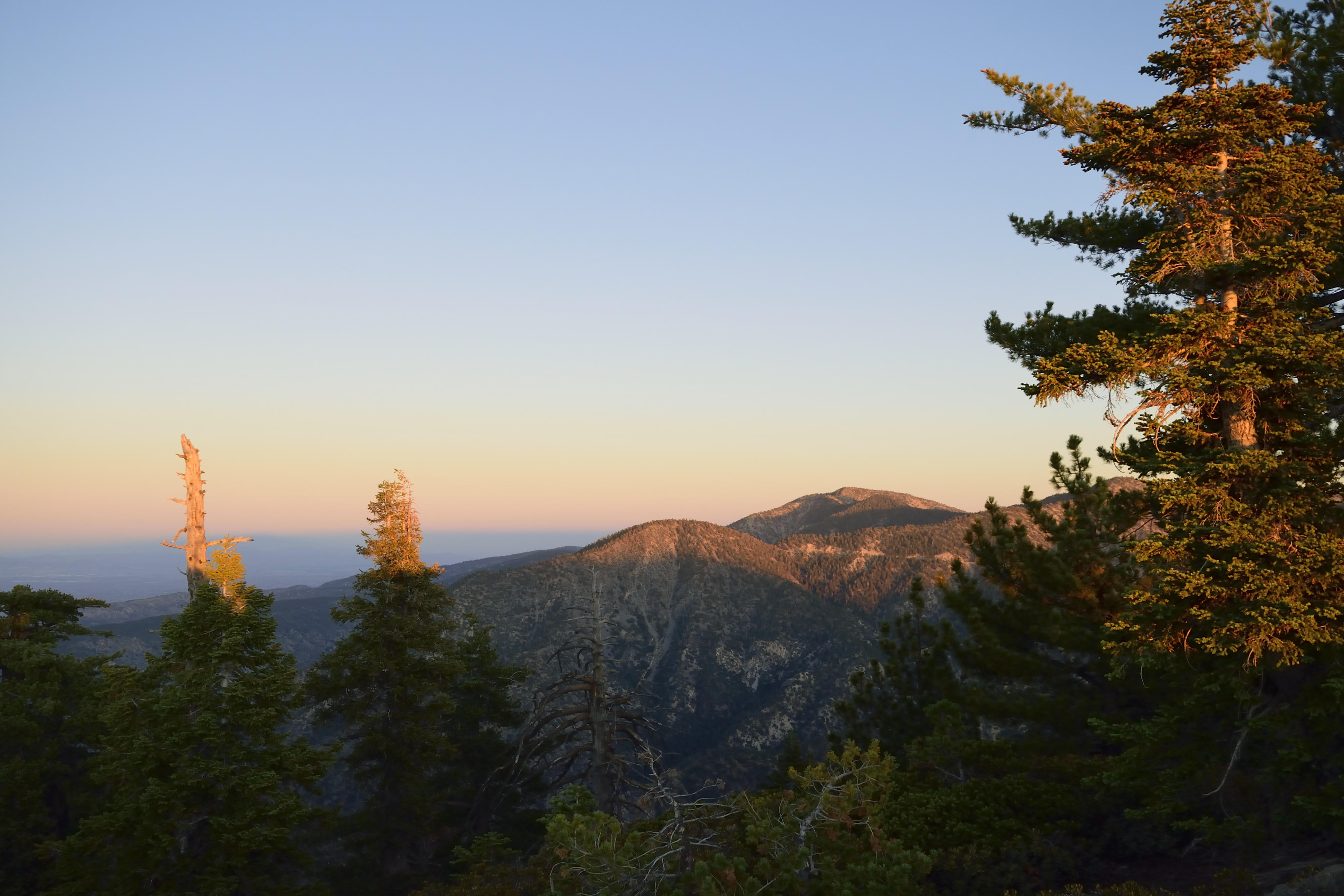
Mt. Baden-Powell (R, taller) and Mt. Lewis (L, shorter)
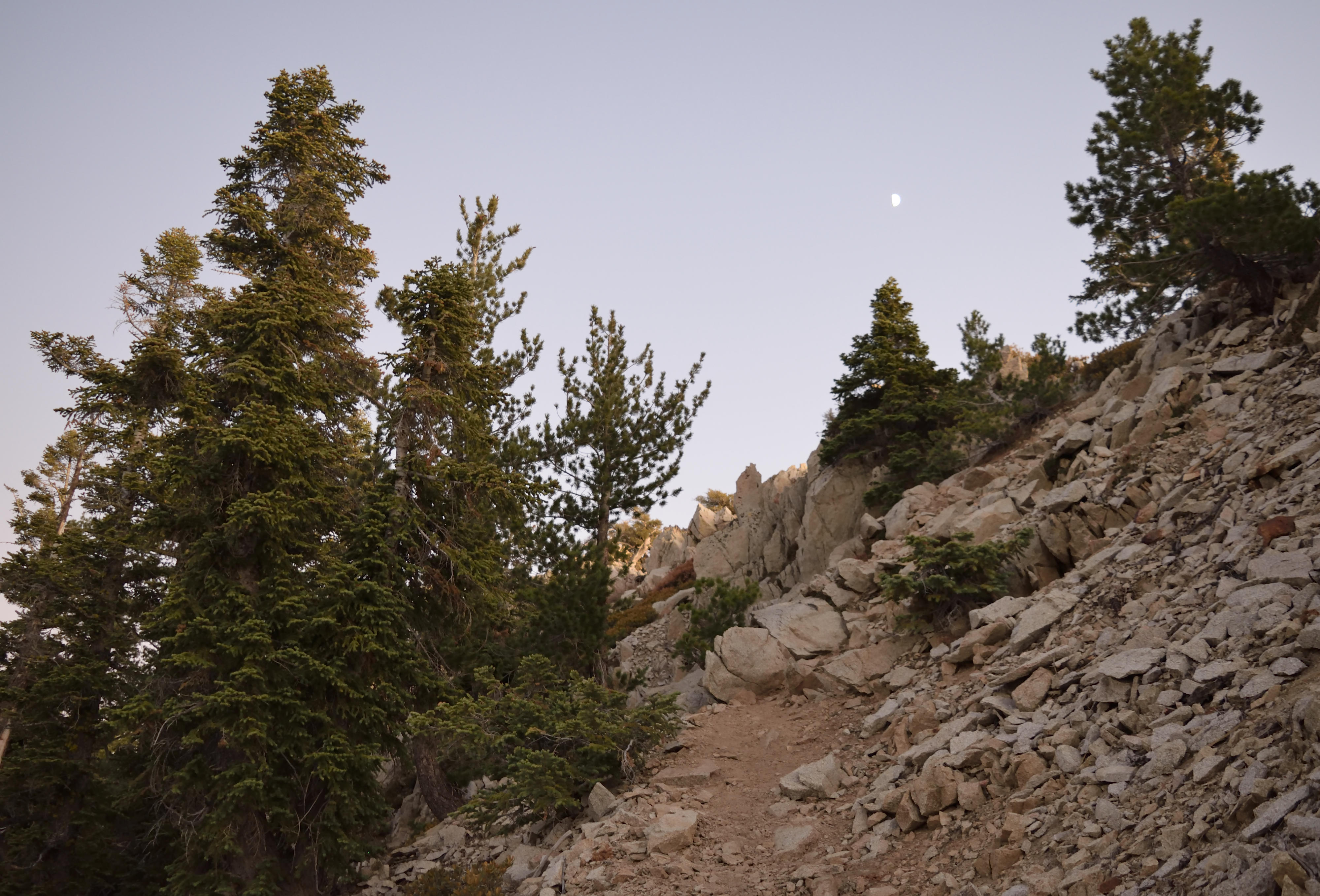
Typical up-down semi-scramble near the summit, with a mix of white fir and douglas fir
Just after sunset, Twin Peaks just right of center, Mt. Waterman at right
EDIT: correct prominence after looking at map, d'oh!
I got started from the Southwest Ridge trailhead (the Williamson Rock side) at a little after 2:00 PM, and settled into a relaxed pace, stopping occasionally to snap a shot. The trail is in excellent condition except for a couple rocky/rooty spots. After leaving the PCT, it's steep and a bit less traveled but very easy to follow. This route is one among a few in the San Gabriels that remind me greatly of the Sierra Nevada: 1) Williamson, 2) Twin Peaks, 3) Pine Mountain.
Also, there is a very interesting mix of forest here. I spotted the following on the hike up (some from a distance): Live Oak, Big Cone Douglas Fir, White Fir, Ponderosa Pine, Alder, Big Leaf Maple, Incense Cedar. It's interesting to see the douglas fir and white fir mix between 7,000'-8,000'. Also, for some glorious reason the manzanita far outnumbers the buckthorn!
Summit views from Williamson are somewhat unique in the range. The absolute prominence is 800' (from Williamson-Pallette Saddle, ~7,600'), and there are huge canyons on three sides, and long sweeping ridges rising from many angles. It makes for dramatic sunset viewing:
View Northeast: Valyermo is the green-ish valley midground; Saddleback Butte can be seen right of center
Summit of Mt. Williamson, with moon, and summit register
Mt. Baden-Powell (R, taller) and Mt. Lewis (L, shorter)
Typical up-down semi-scramble near the summit, with a mix of white fir and douglas fir
Just after sunset, Twin Peaks just right of center, Mt. Waterman at right
EDIT: correct prominence after looking at map, d'oh!