Survey of Pacoima Canyon Trail
Posted: Thu Jul 05, 2018 8:41 am
Yesterday I drove up Little Tujunga to check out Pacoima Canyon. I became interested in surveying the trail after its caretaker, Mr. Bircsak, recently posted about it here. He has been working on the path since 2003, clearing it between Dillon Divide and Dagger Flats. But in 2016 the Sand Fire devastated the canyon. Forest Service officials then closed the area for a couple years, and in that time much of the path has been eroded and overgrown. Mr. Bircsak now seeks assistance in restoring the historic trail, which leads to the site of an old gold mining operation.
I surveyed the route from Dillon Divide to Dutch Louie Mine, a water diversion tunnel once used for gold mining. The beginning of Mendenhall Ridge Road is fine, except for mustard trying to overtake some small sections.
The start of Pacoima Canyon Road is also good, though overgrown. The bed is basically intact to the first major gully crossing with the little dam construction. It begins with about a five-foot wide clearing, then it narrows down to a couple feet.
After the gully crossing, the road bed has been washed out in three or four places.
Several landslides cover the bed and push the trail to the edge of the road.
Also, much of the remaining road route is essentially a narrow use path with light to medium bushwhacking all the way down to the water tank.
Beyond the water tank, as you turn right and approach the streambed, the old road is mostly eroded away, with barely detectable segments remaining here and there.
The canyon-bottom portion of the trail is generally characterized as a cairn-guided scramble with heavy bushwhacking between segments of deteriorated, overgrown road bed.
Also, a few poodle dog bushes were present and blooming along the banks.
The original stream-crossings now present significant challenges. Scramblers have since created roundabout, makeshift crossings which can be hard to locate. Even in July, the water level below Dutch Louie Tunnel discouraged simply walking through the stream.
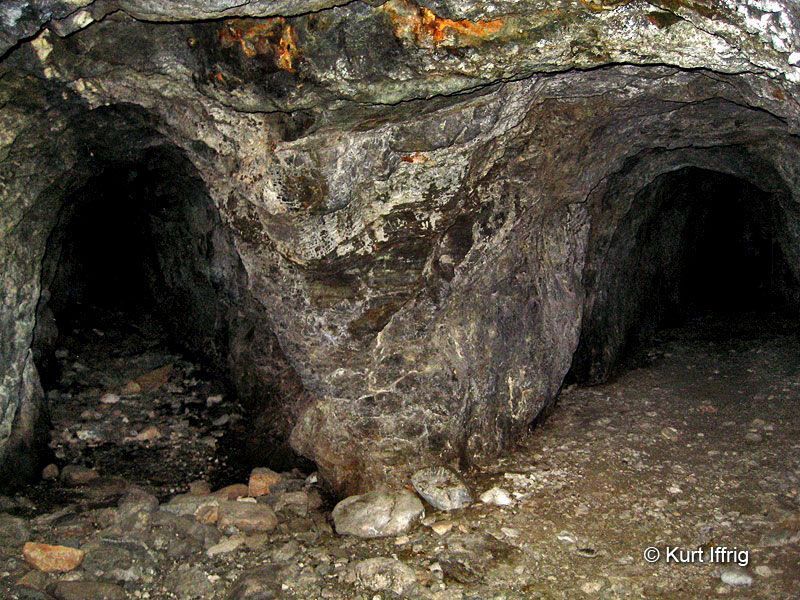
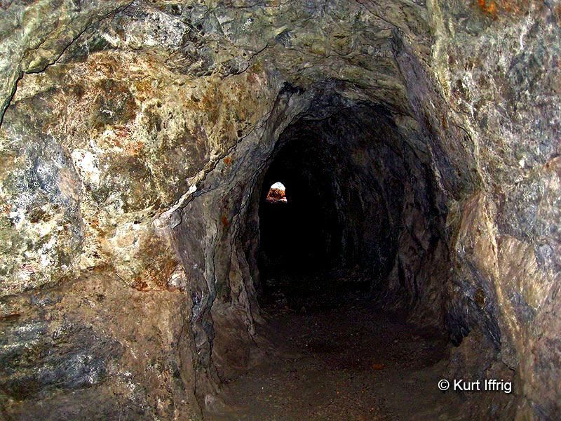
I ran out of time and turned around at the water diversion tunnel, which is obscured by plants and cannot be seen until you're within a few feet of it. Though it can be heard from a greater distance, as it sounds like a large spring pouring out of the cliff base.
Here is my survey map showing the major issues.
