Peak 7465 and Telegraph's East Ridge
Posted: Sun May 13, 2018 10:10 am
Each year Madison (Uncle Rico) celebrates his birthday with a special excursion into the mountains. I've joined him on these trips for the last three years now. In 2016 it was Copter Ridge. Last year was Hawkins Ridge. And yesterday, continuing with the ridge theme, we explored Telegraph Peak's great, eastern ridge, which divides the north and middle forks of Lytle Creek.
Madison and I met at the Glendora Park and Ride around 7:30am. It was cold and raining lightly but steadily, and we had some concern about attempting this hike in such foul weather. But when you reach a certain age, you learn to check your concerns at the Park and Ride, and push on with the predetermined plan. Also, you realize the value in carrying on until something actually physically stops you from doing what you want to do. We weren't going to let the mere threat of failure prevent us from actually experiencing failure. And in order to fail, we would first have to get our actual butts onto the actual ridge.
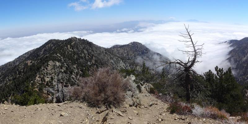
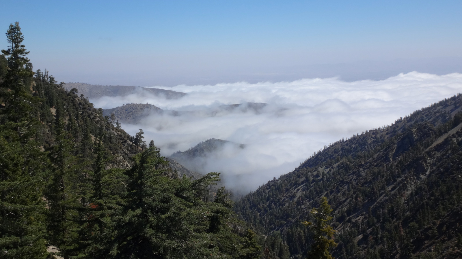
Of course, when you reach a certain age, you also start to forget things, like the fact that even though it's raining in the low valley, it might very well be sunny and dry on an 8,000-foot high ridge that rises above the storm clouds. And this indeed proved to be the case. We had excellent weather for the duration of the hike.
After being chair lifted to Baldy Notch, we walked the dirt road to Thunder Mountain and the 3Ts trail, and then up to Telegraph.
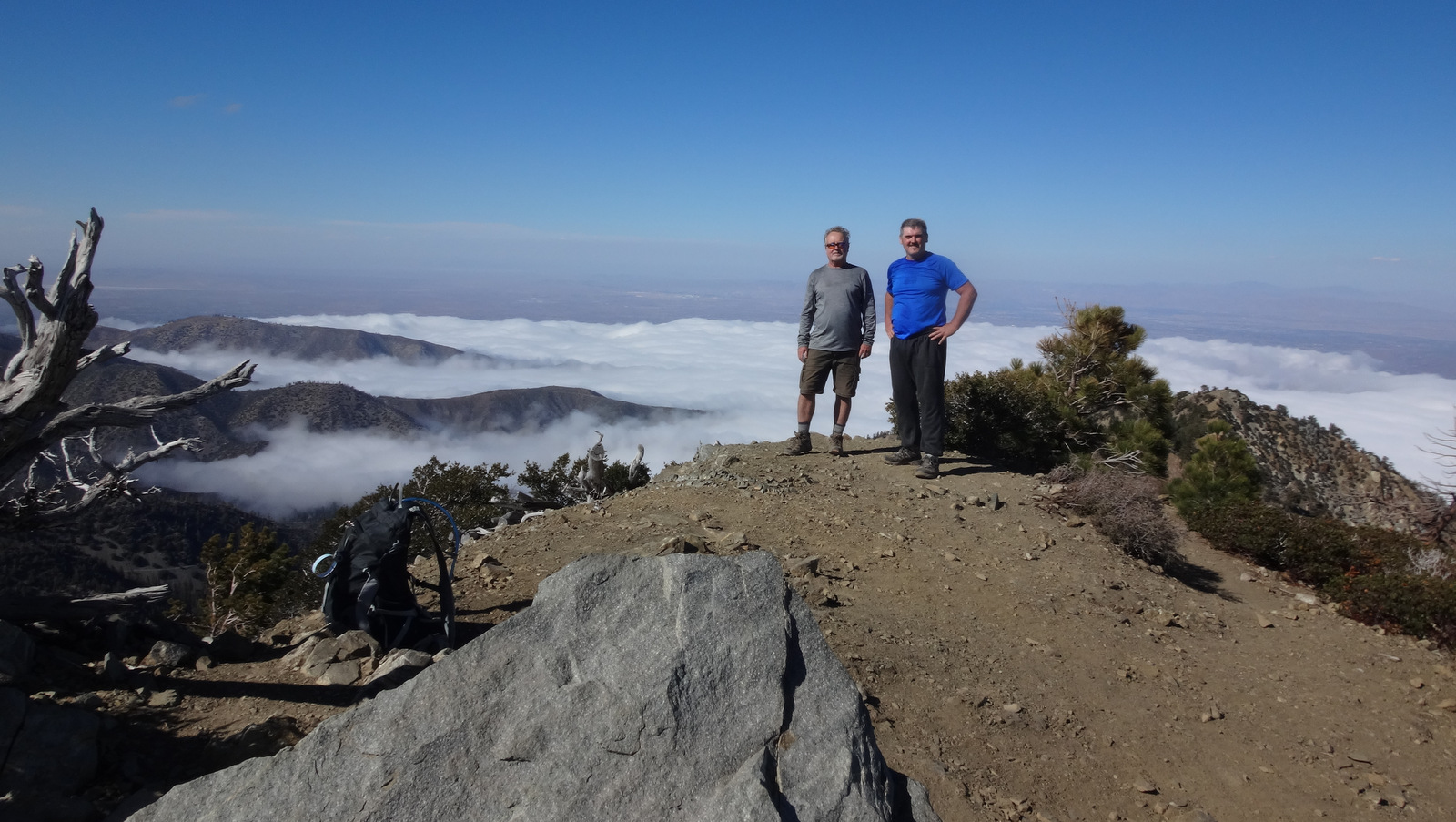
Both of us were hauling extra water to stash along the ridge. So with the extra weight we took it easy during the climb. And with the additional time, I think we made progress on several intellectual topics, such as the finer points of evolution and, of course, the riddle of the female.
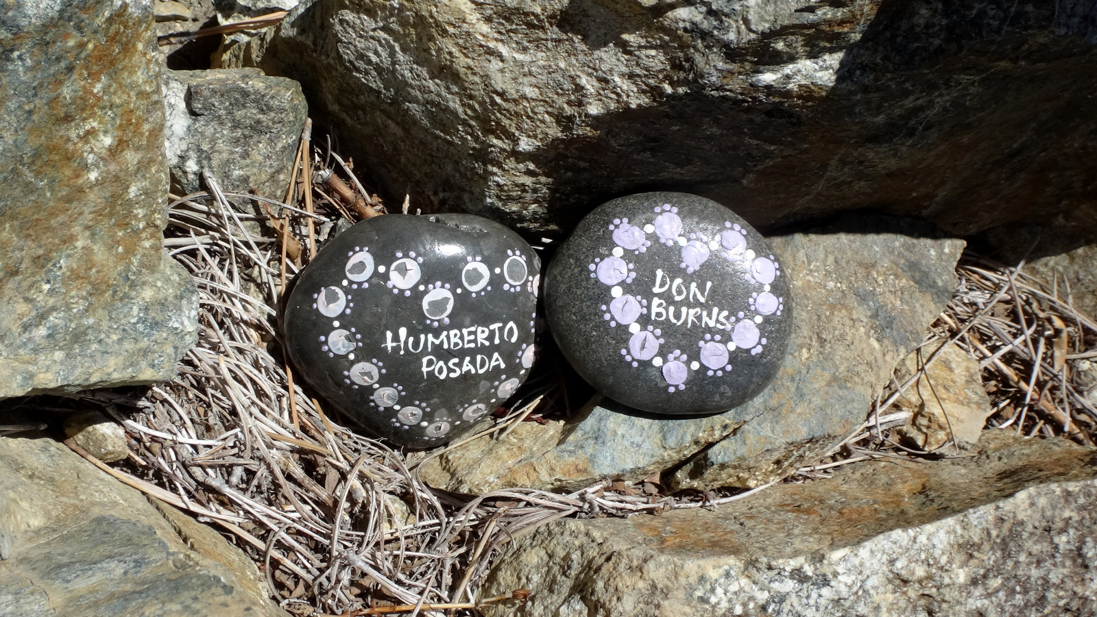
While answering deep, philosophical questions on Telegraph, Madison noticed these painted rocks.
We then had a choice to make. In order to hike Telegraph's east ridge, you first have to get off Telegraph Peak, and that's easier said than done. You can drop directly down the super steep northeast slope, or you can take my super secret route, which is slightly less troublesome, but more roundabout. After peeking at the direct drop, Madison put his trust in my roundabout way.
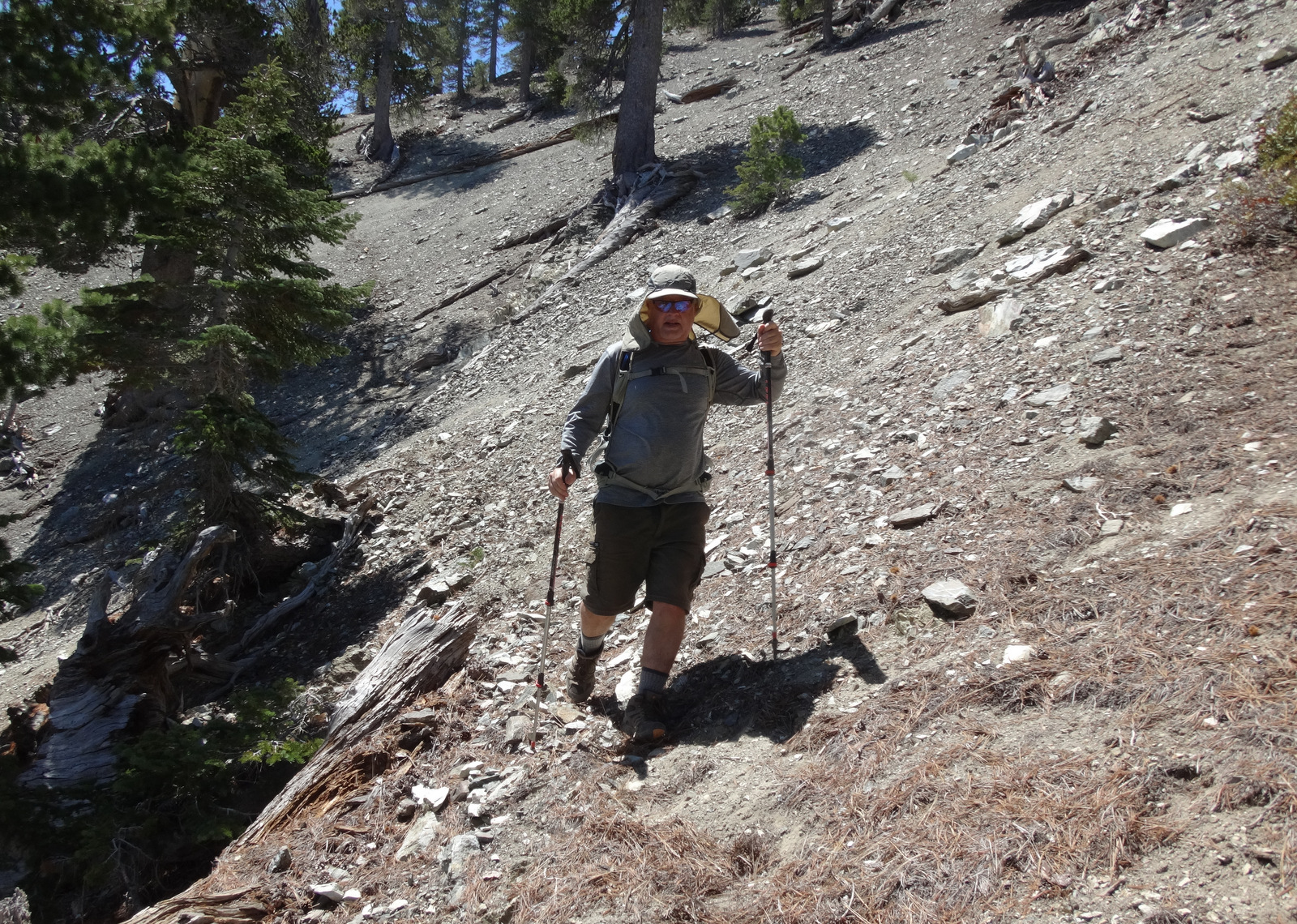
Whichever route you take off Telegraph's east side, the ridge doesn't get easy until four hundred feet below the peak. After a bit of serious navigating and scree-filled class 2, we finally made it to the nice use trail and gentler terrain.

Under a tree we stashed some supplies and continued toward the first point, Peak 8540, located at the end of a series of small, rocky bumps.


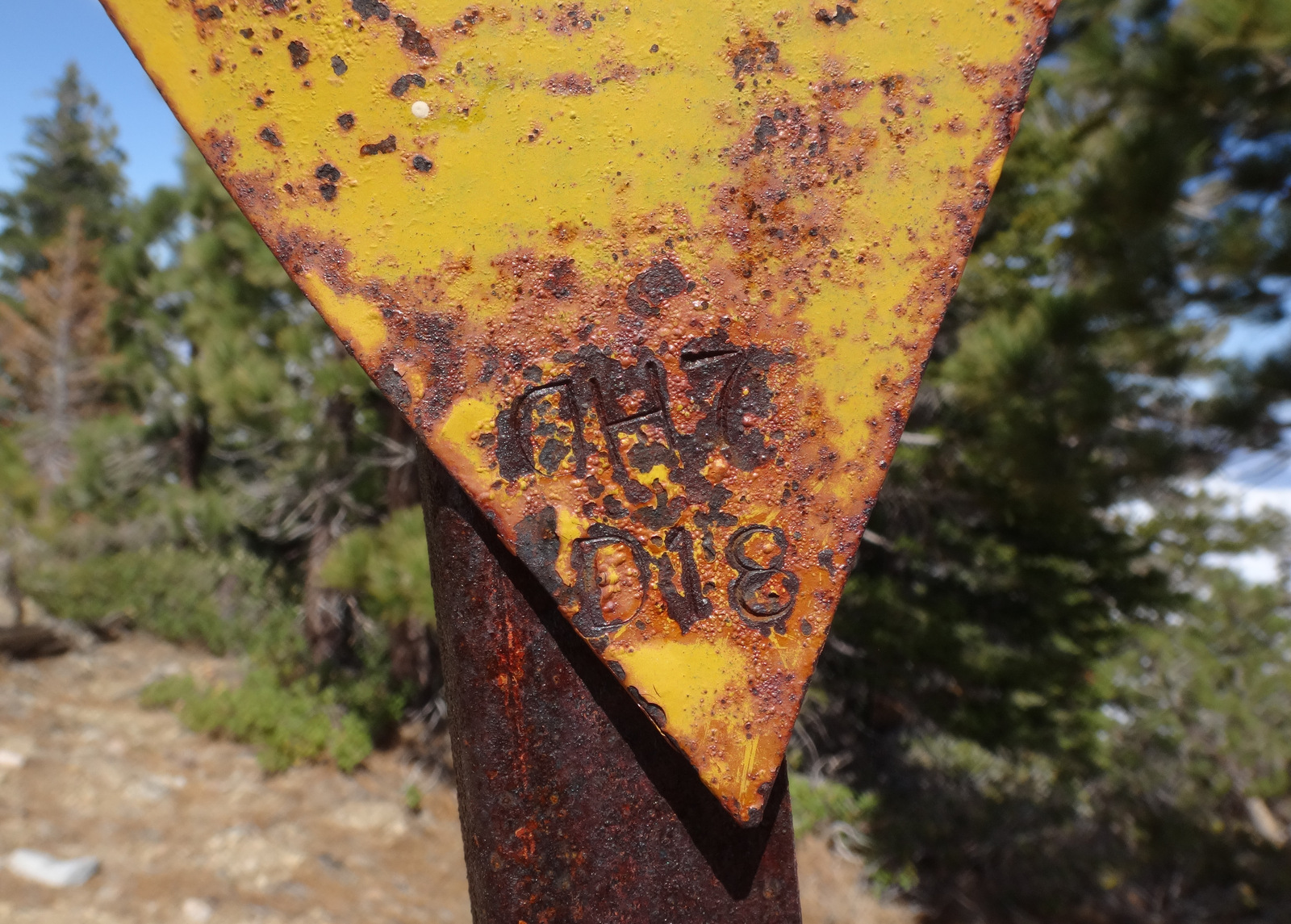
The next point, Peak 8325, marks a prominent ridge junction, where you should probably check your navigation. This spot contained a triangular sign with some writing etched into the metal.
Continuing straight (northeast) leads to Peak 7665. But our goal was Peak 7465, so we turned right, heading southeast. At first the drop is gentle through easy, slightly rocky, terrain.

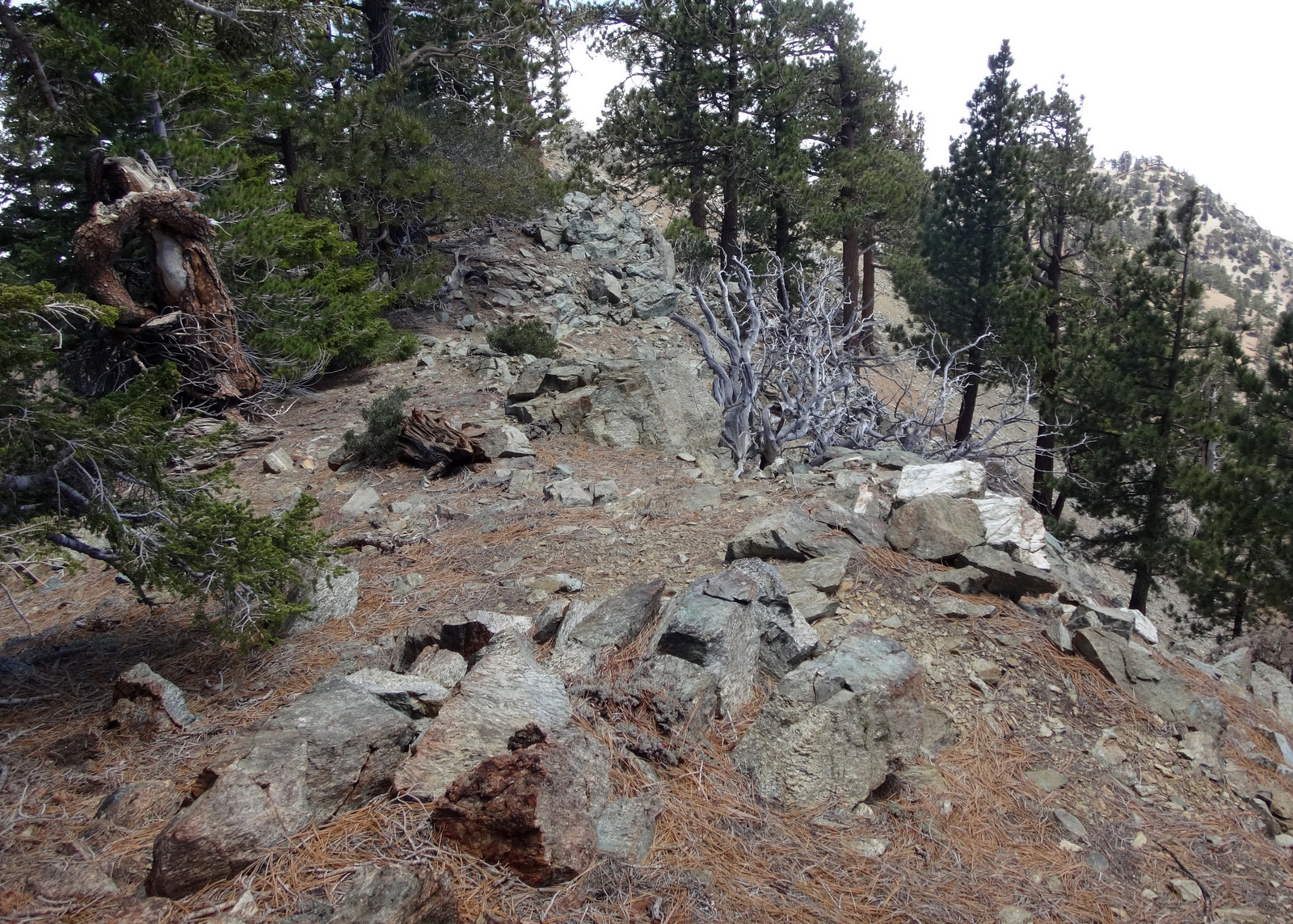
Then there is a steep section, where you drop down to a plateau. We figured this might be an ideal spot for people interested in camping out here.


After the flat area, we went over a little rise and came to the highlight of the day, which I'll go ahead and call Grizzly Bluff.

This is the unique cliff area atop Grizzly Gulch. It looks and feels very much like a beachside bluff along the Pacific Ocean. The sand has been crushed into a fine white powder. A few dead, twisted branches resemble driftwood, and some of the bushes are reminiscent of coastal vegetation.

Also, you fear getting too close to the cliff edge, which might slide out from under your weight. And on this day the clouds rolled up the canyon to provide a phantom sea, helping to complete the comparison.

Crowning the bluff is Peak 7465, our ultimate destination.

A short climb got us finally to the point, where HeadSizeBurrito recently visited coming up from Lytle Creek.

We enjoyed the views and some lunch while flipping through the old register.

We tried to think of cool names for the ridge we just hiked. While in the moment, we thought Queasy Stomach Ridge was hilarious, but might be too subjective for common acceptance. Yes, my stomach wasn't doing so great that morning. In hindsight, though, I like the sound of Snow Plant Ridge. Only moments after I asked Madison if he had seen any snow plants yet this season, bam!-- there was a snow plant right next to the trail. Then we started noticing a lot more of them as we kept going. In fact, I have never seen so many on a hike. So, happy birthday, Madison, here is a snow plant for you!


Madison and I met at the Glendora Park and Ride around 7:30am. It was cold and raining lightly but steadily, and we had some concern about attempting this hike in such foul weather. But when you reach a certain age, you learn to check your concerns at the Park and Ride, and push on with the predetermined plan. Also, you realize the value in carrying on until something actually physically stops you from doing what you want to do. We weren't going to let the mere threat of failure prevent us from actually experiencing failure. And in order to fail, we would first have to get our actual butts onto the actual ridge.
Of course, when you reach a certain age, you also start to forget things, like the fact that even though it's raining in the low valley, it might very well be sunny and dry on an 8,000-foot high ridge that rises above the storm clouds. And this indeed proved to be the case. We had excellent weather for the duration of the hike.

After being chair lifted to Baldy Notch, we walked the dirt road to Thunder Mountain and the 3Ts trail, and then up to Telegraph.

Both of us were hauling extra water to stash along the ridge. So with the extra weight we took it easy during the climb. And with the additional time, I think we made progress on several intellectual topics, such as the finer points of evolution and, of course, the riddle of the female.
While answering deep, philosophical questions on Telegraph, Madison noticed these painted rocks.

We then had a choice to make. In order to hike Telegraph's east ridge, you first have to get off Telegraph Peak, and that's easier said than done. You can drop directly down the super steep northeast slope, or you can take my super secret route, which is slightly less troublesome, but more roundabout. After peeking at the direct drop, Madison put his trust in my roundabout way.

Whichever route you take off Telegraph's east side, the ridge doesn't get easy until four hundred feet below the peak. After a bit of serious navigating and scree-filled class 2, we finally made it to the nice use trail and gentler terrain.

Under a tree we stashed some supplies and continued toward the first point, Peak 8540, located at the end of a series of small, rocky bumps.


The next point, Peak 8325, marks a prominent ridge junction, where you should probably check your navigation. This spot contained a triangular sign with some writing etched into the metal.

Continuing straight (northeast) leads to Peak 7665. But our goal was Peak 7465, so we turned right, heading southeast. At first the drop is gentle through easy, slightly rocky, terrain.


Then there is a steep section, where you drop down to a plateau. We figured this might be an ideal spot for people interested in camping out here.


After the flat area, we went over a little rise and came to the highlight of the day, which I'll go ahead and call Grizzly Bluff.

This is the unique cliff area atop Grizzly Gulch. It looks and feels very much like a beachside bluff along the Pacific Ocean. The sand has been crushed into a fine white powder. A few dead, twisted branches resemble driftwood, and some of the bushes are reminiscent of coastal vegetation.

Also, you fear getting too close to the cliff edge, which might slide out from under your weight. And on this day the clouds rolled up the canyon to provide a phantom sea, helping to complete the comparison.

Crowning the bluff is Peak 7465, our ultimate destination.

A short climb got us finally to the point, where HeadSizeBurrito recently visited coming up from Lytle Creek.

We enjoyed the views and some lunch while flipping through the old register.

We tried to think of cool names for the ridge we just hiked. While in the moment, we thought Queasy Stomach Ridge was hilarious, but might be too subjective for common acceptance. Yes, my stomach wasn't doing so great that morning. In hindsight, though, I like the sound of Snow Plant Ridge. Only moments after I asked Madison if he had seen any snow plants yet this season, bam!-- there was a snow plant right next to the trail. Then we started noticing a lot more of them as we kept going. In fact, I have never seen so many on a hike. So, happy birthday, Madison, here is a snow plant for you!
