Sunset Peak - backup plan
Posted: Mon Feb 19, 2018 8:44 pm
With a three-day weekend available I wanted to get out and hike Baldy, preferably before any wet stuff fell again. Saturday I set out to do that, also thinking it would be great to catch the sunset from there too. Unfortunately, just before reaching the village I realized that I left my long sleeve shirt and puffy jacket on the couch at home. Dang. I quickly calculated that in the mid-30’s temperatures plus wind up there I would not be happy so I just went over on Glendora Ridge Road to Cow Canyon.
It still turned out to be a good day, I chatted up some other guy on the ridge route while waiting for his kids to catch up and had the summit to myself for a while too. Since I had the time I walked around and found the summit marker (thanks Cecelia).
I walked down the road and of course saw a few more people there but didn’t have any conversations. Wearing my headphones might have contributed to that...

Sunny out, another great day in the local mountains.

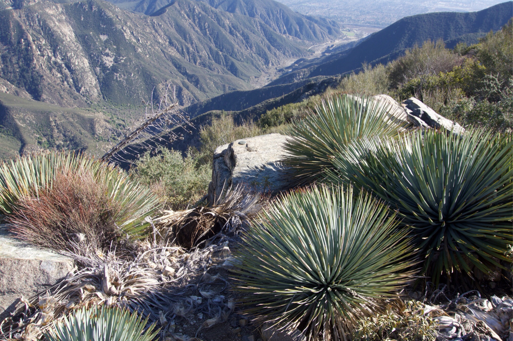
Took a Snickers break on that rock before tackling the last part of the ridge.

Summit area.

Summit benchmark!

Closer view, circa 1953. Seems it should be older.

On the way down the road it looks like springtime.

Now it’s mine.
It still turned out to be a good day, I chatted up some other guy on the ridge route while waiting for his kids to catch up and had the summit to myself for a while too. Since I had the time I walked around and found the summit marker (thanks Cecelia).
I walked down the road and of course saw a few more people there but didn’t have any conversations. Wearing my headphones might have contributed to that...

Sunny out, another great day in the local mountains.

Took a Snickers break on that rock before tackling the last part of the ridge.

Summit area.

Summit benchmark!

Closer view, circa 1953. Seems it should be older.

On the way down the road it looks like springtime.

Now it’s mine.