Beautiful Day On Bonita Peak
Posted: Wed Feb 01, 2017 2:14 pm
Tuesday was such a beautiful day that I thought it would be fitting to hike to a peak whose name means "beautiful" in Spanish. Bonita Peak lies along the Heaton Flats Trail out of the East Fork, and it has the added distinction of being on the Sierra Club's Lower Peaks list.
I rolled into the East Fork parking lot around noon, having grabbed a sandwich in Azusa for my summit meal. All footlong subs at Subway were only six bucks each for a limited time. I purchased the roast beef, and resisted an impulse to add cookies and soda. Back at the East Fork parking lot, I took one of a few remaining spaces and prepared for the adventure to come.
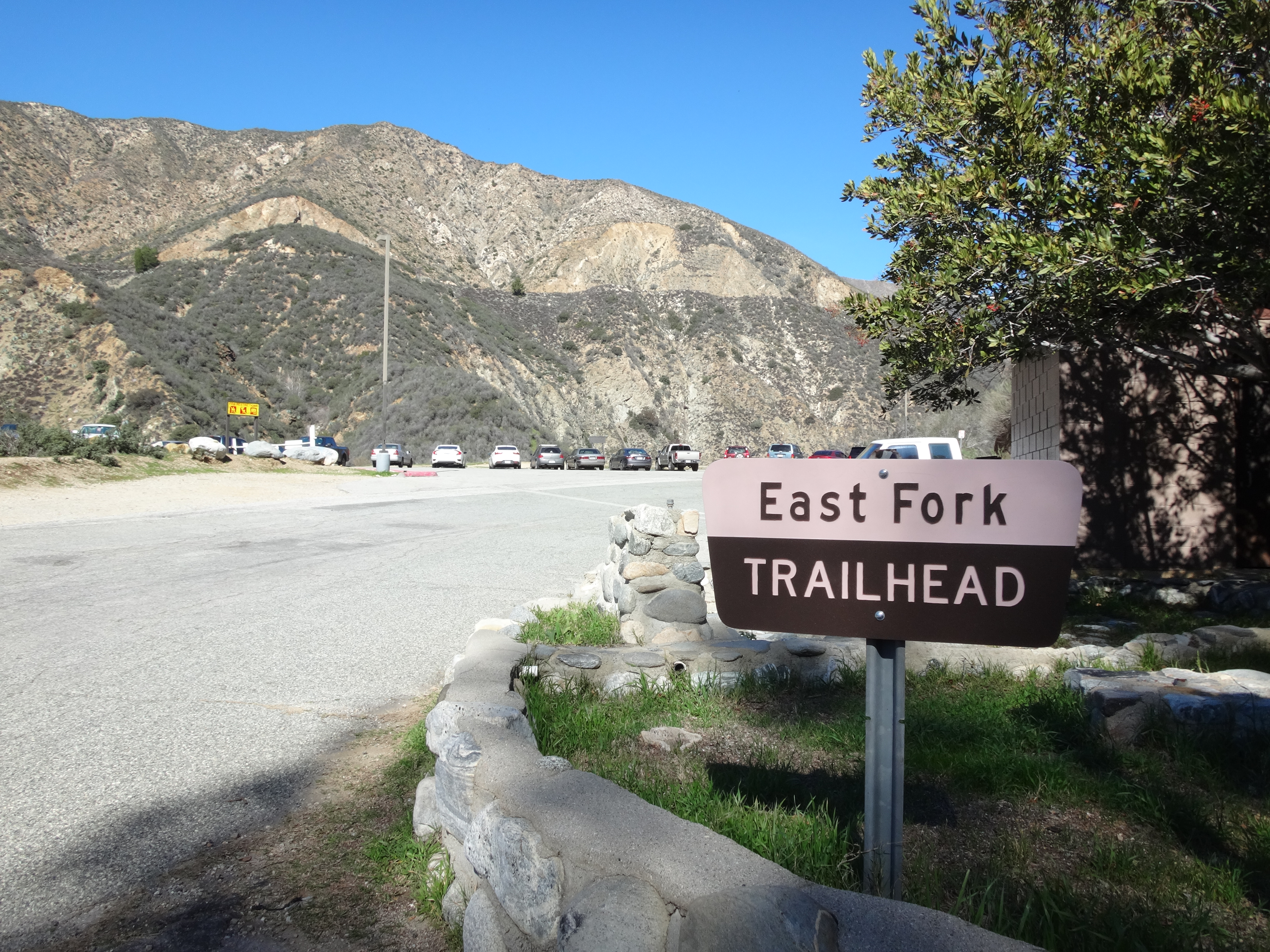
From the parking lot I ambled up the fire road. My brand-new, thick black socks felt good. I like dressing in black, even though I'm a fairly friendly guy and don't believe in Satan, despite the fact that I listen to Satanic metal. But then I also listen to some Christian music--as long as it's catchy or has a Satanic rhythm.
My hiking pole seemed like an unnecessary aid on the flat fire road, but I was sure it would serve some useful purpose later on in the journey. For example, I might run into a vicious Satanist who wanted to cut me open and eat my glands. In which case a pointy, aluminum stick would surely come in handy for self-defense.
While deep in thought, I could see and hear the strong river rushing through the canyon to the left of the road.
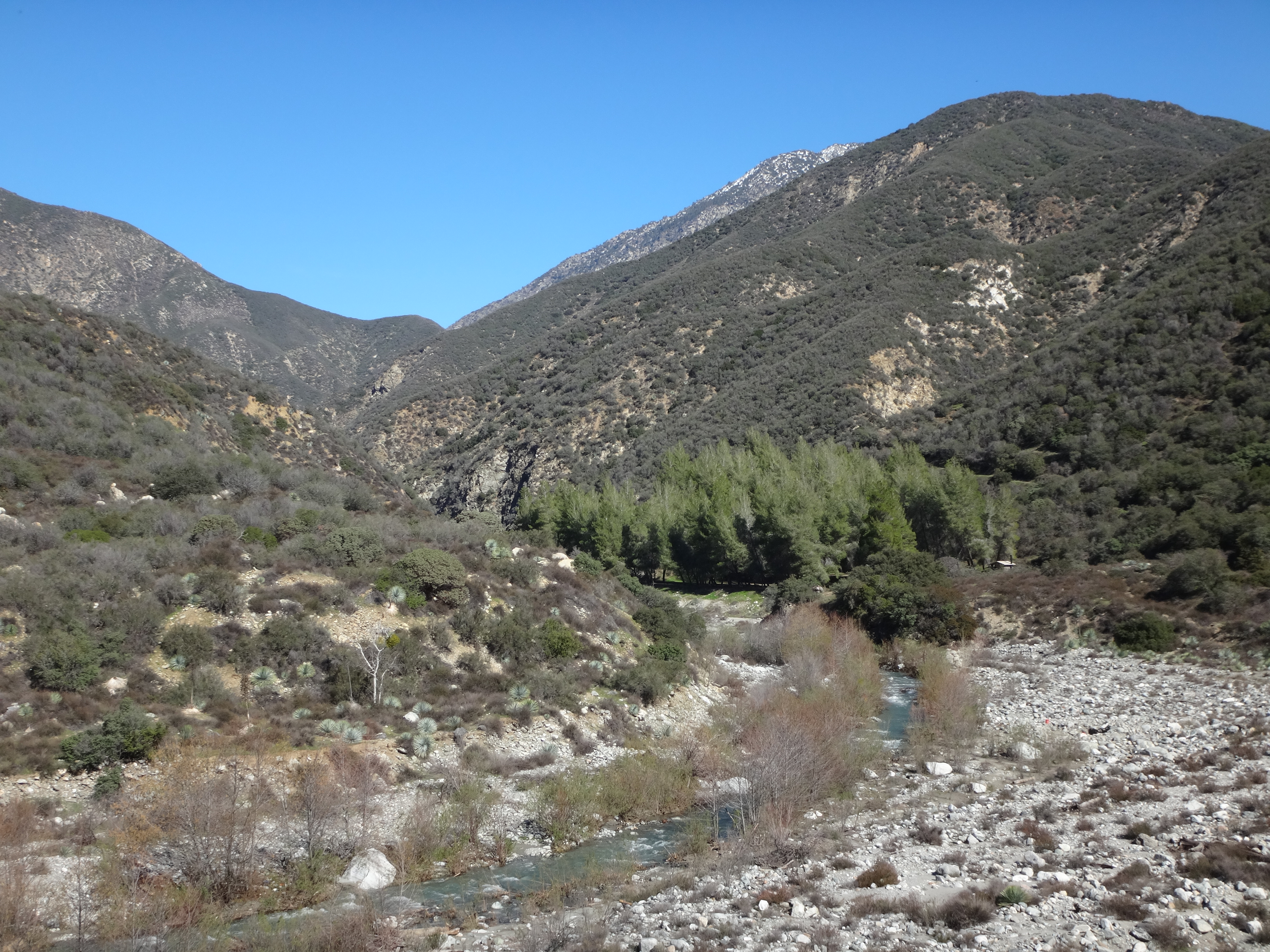
After a half-mile I reached the campground. A couple tents were set up. Turning right, I started on the Heaton Flats singletrack. It wasn't long before canyon views opened up. Shoemaker Road hugged slopes on the opposite side of the river.
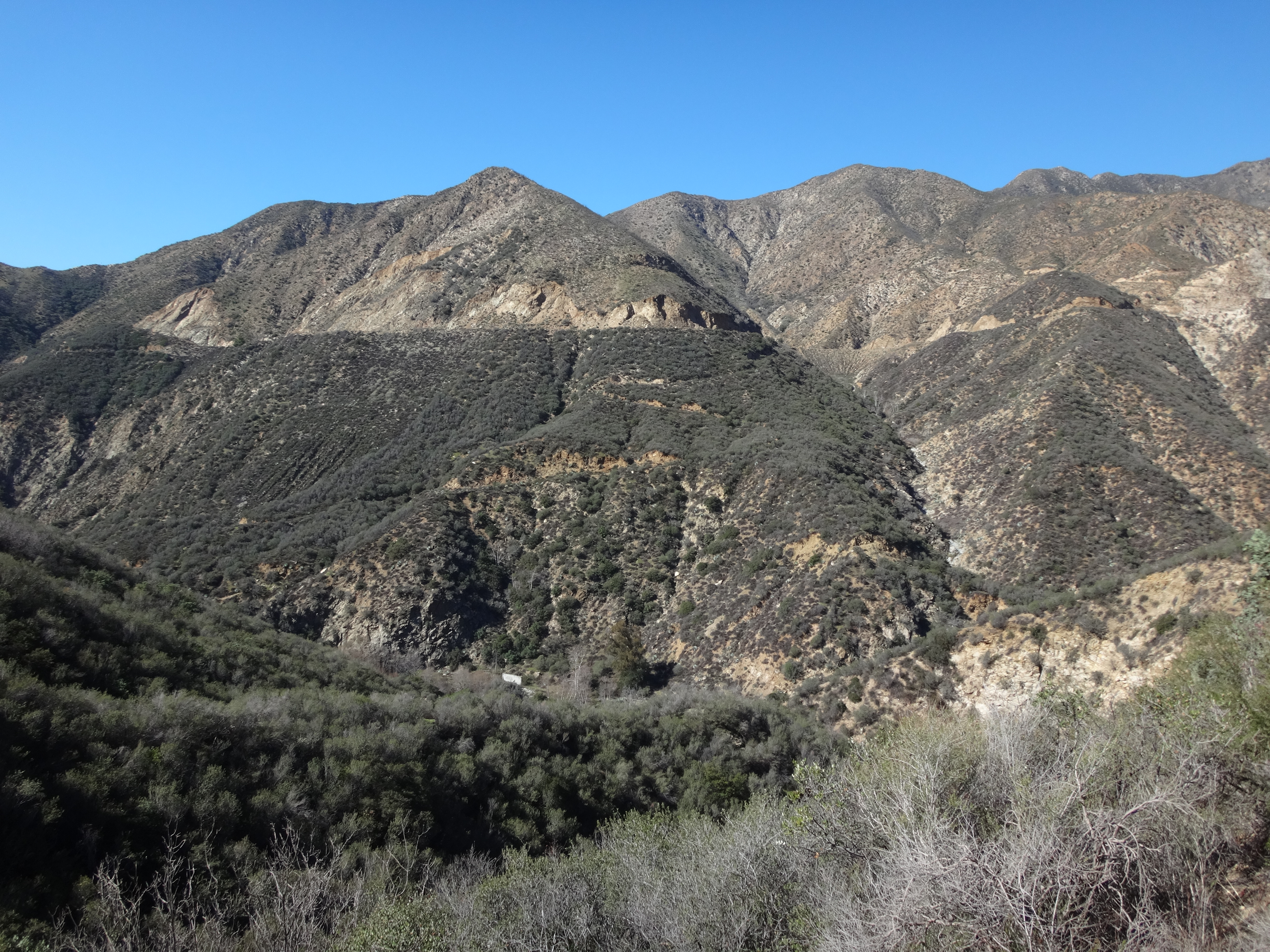
The trail seemed steeper than I remembered it. But then I also seemed less conditioned than the last time I hiked here. Several breaks were required to "take in the scenery" (and maybe also to forestall a respiratory meltdown). Eventually, my legs made it up the minor gully, across a minor stream, and to the first minor saddle, where I rejected another break opportunity due to lack of shade.
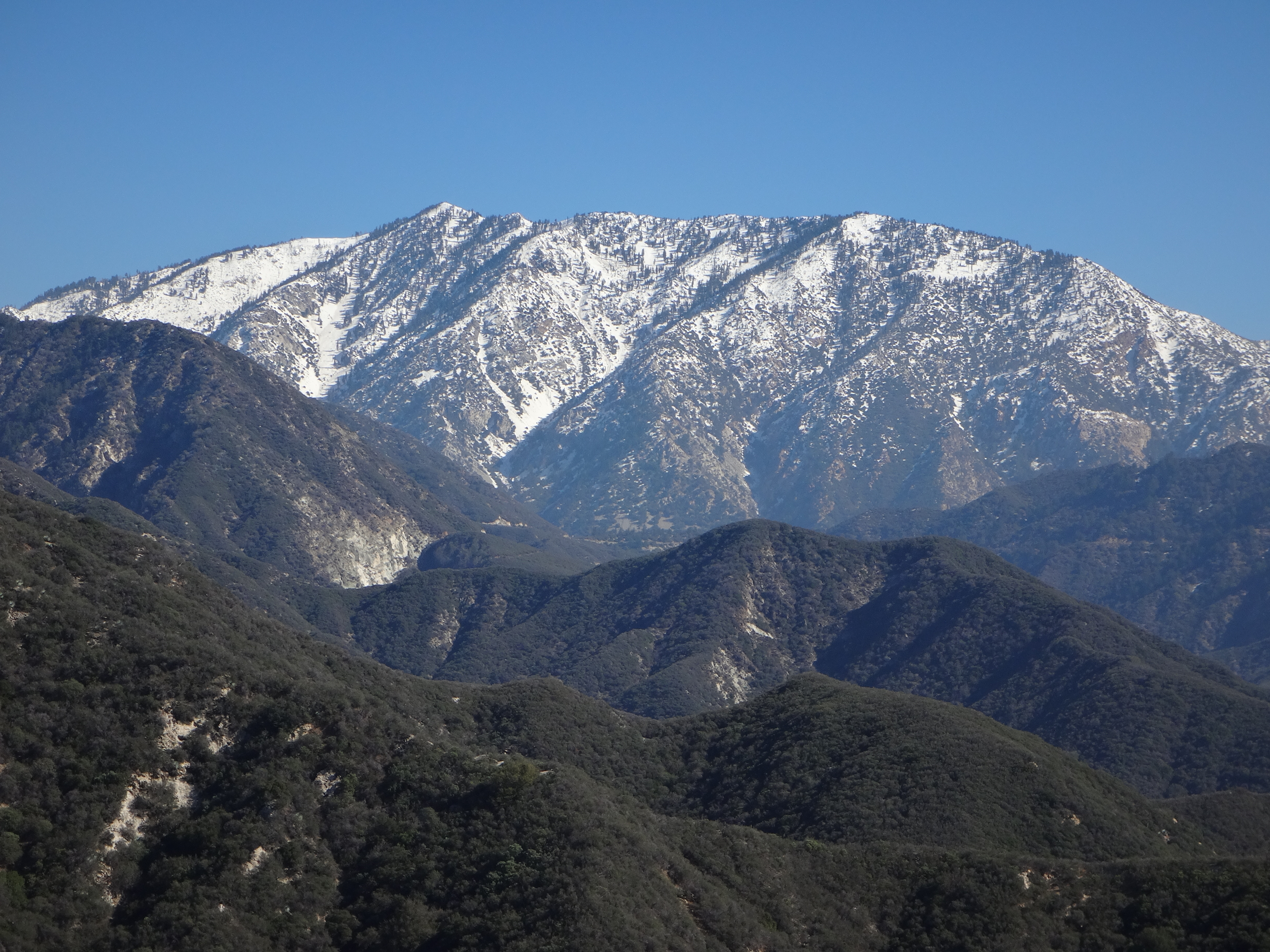
Pushing on, the trail marched up and around, now mostly following and skirting a major ridge. At the next shady section I rested and enjoyed the view of snowy Ontario Peak to the east.
A switchback landed me on the top of the ridge with a view of perhaps the steepest section ahead.
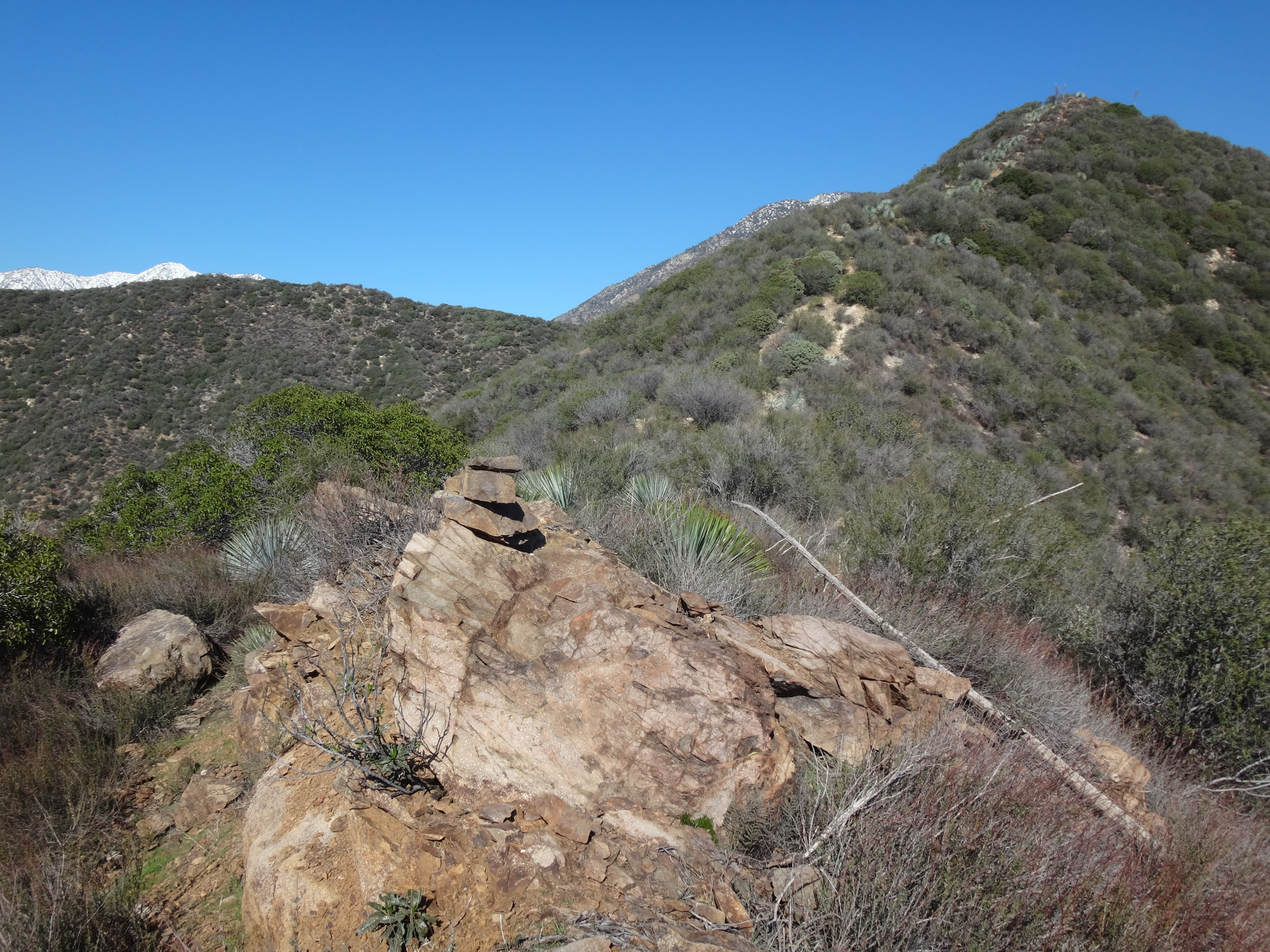
This stretch can be mellowed by utilizing an abandoned, deteriorated switchback, instead of following the blazed route straight up the spine of the ridge. Going up I used the direct path. But coming down I took the switchback.
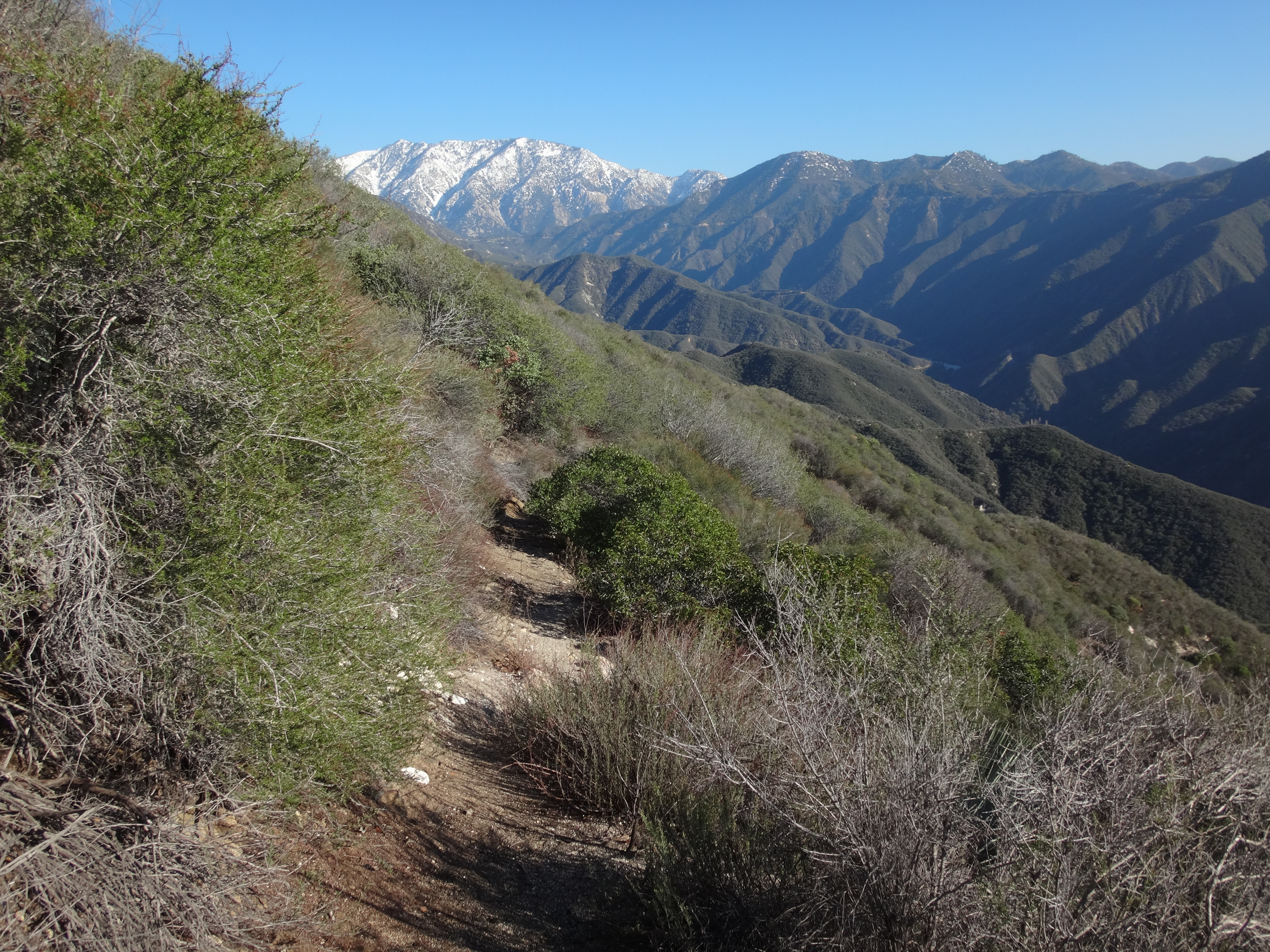
Beyond this part, the trail moved along the northwest (left) side of the ridge for three-tenths of a mile before bending onto a tiny saddle. Bonita Peak is the slight bump 400 feet south (right) from this saddle. To the northeast 500 feet is a slightly higher double-hump, which marks the corner where the trail turns to head dead eastward over a rolling stretch of the ridge.
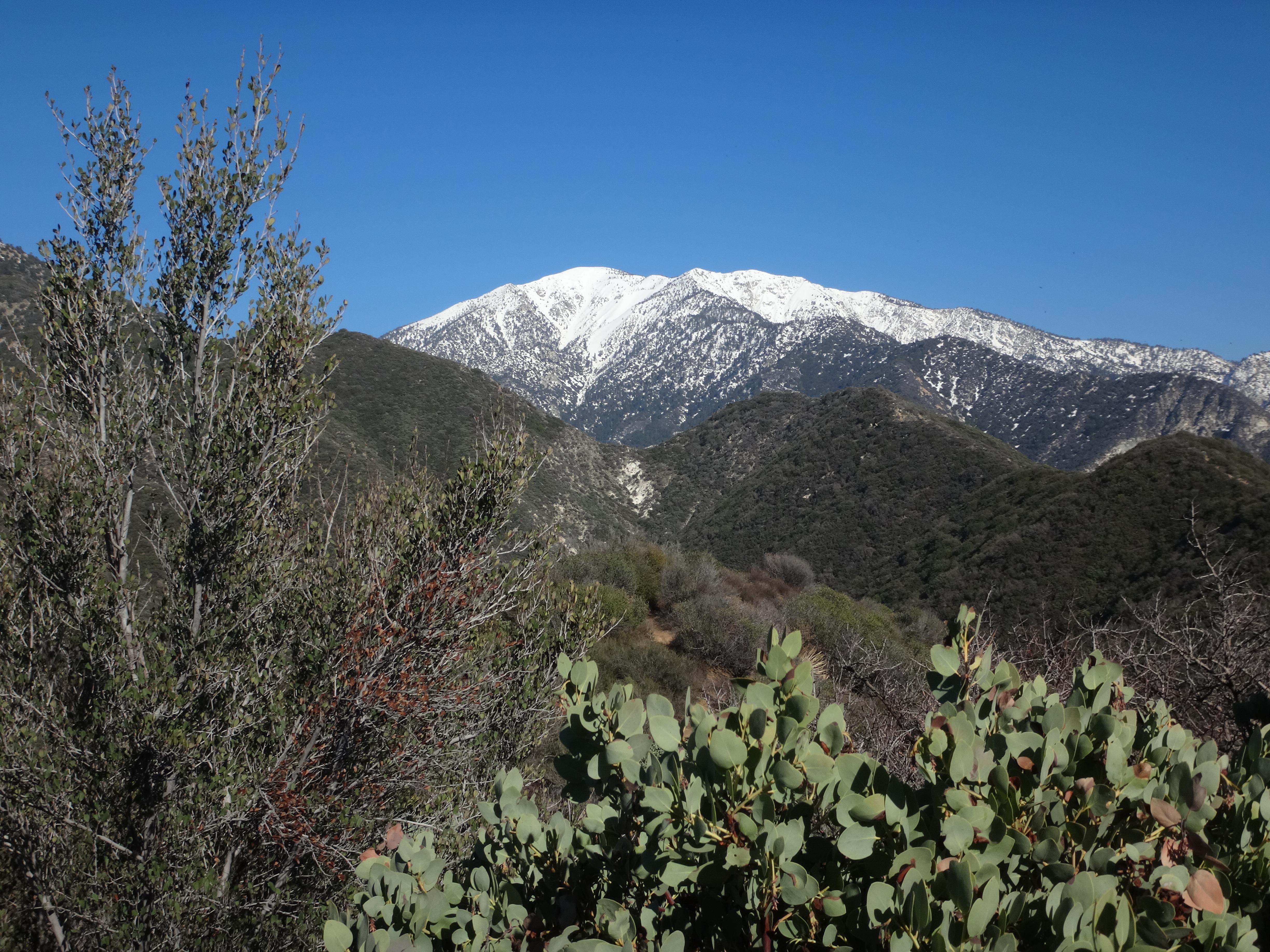
(Looking east from the double-hump toward Coldwater Saddle and West Baldy.)
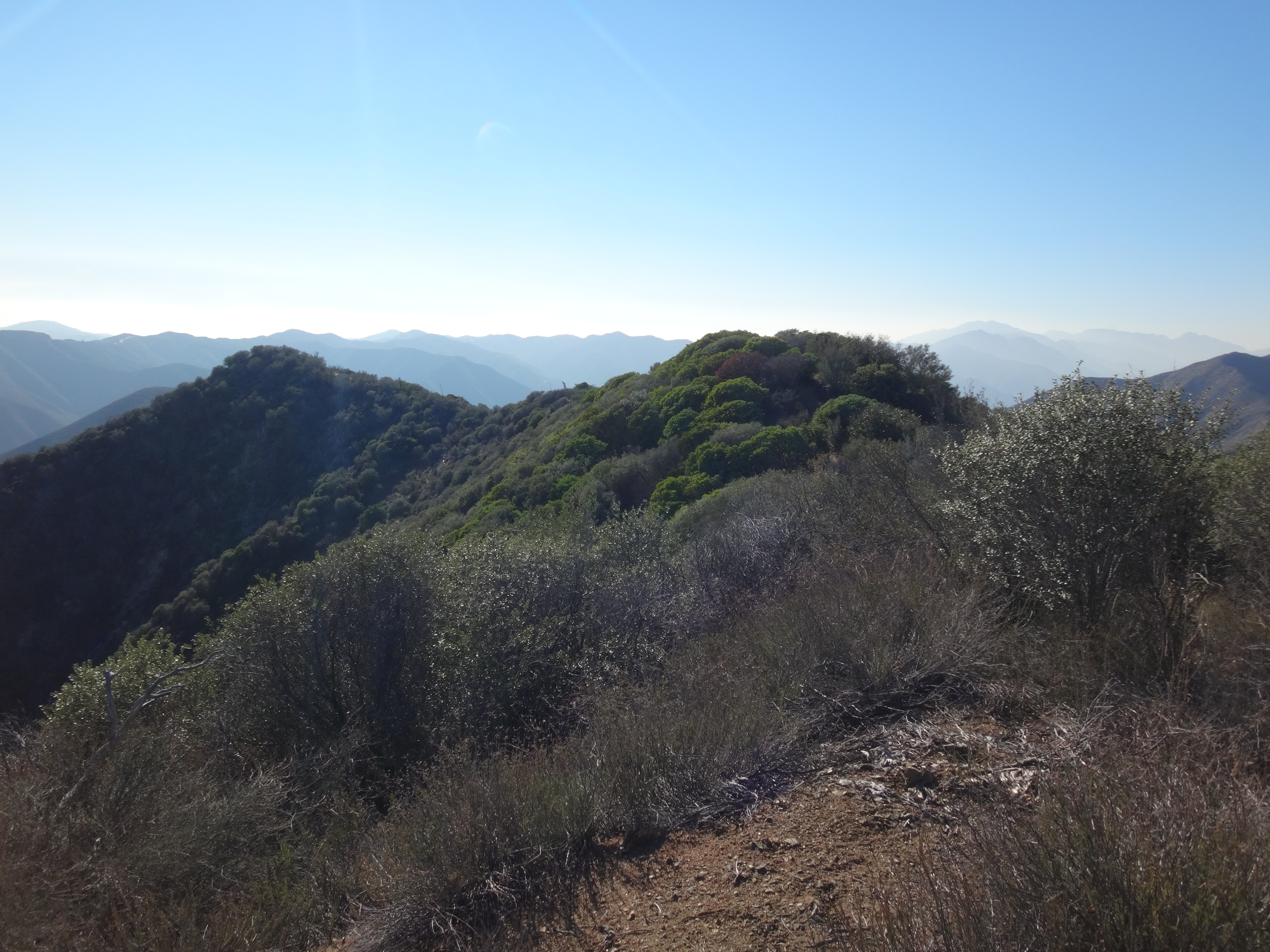
(Looking back from the double-hump. Bonita Peak is the middle-left bump.)
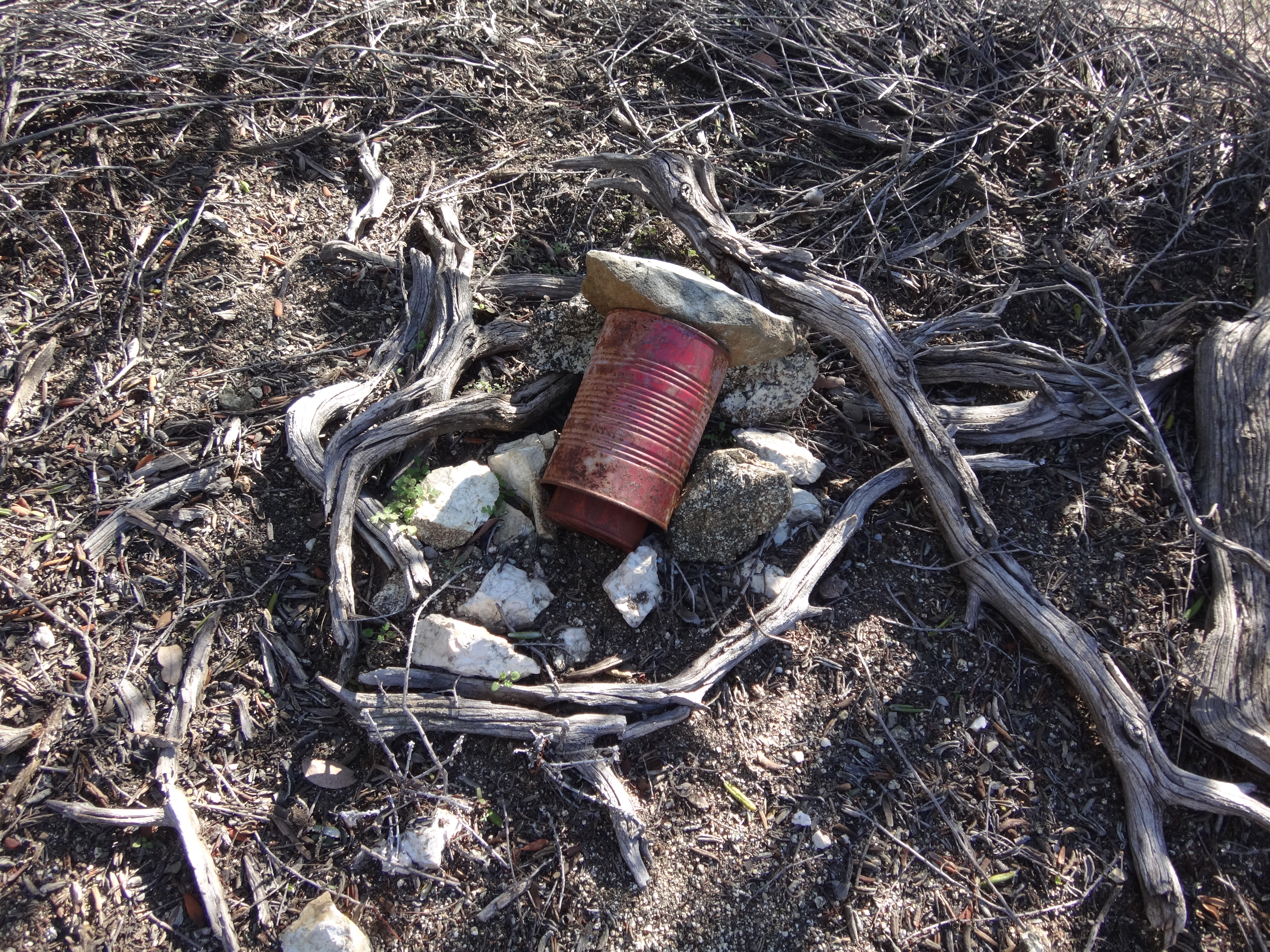
From the saddle between Bonita and the double-hump, I bushwhacked along the top of the ridge to the tiny summit, which contained a register placed by Cecelia last year.
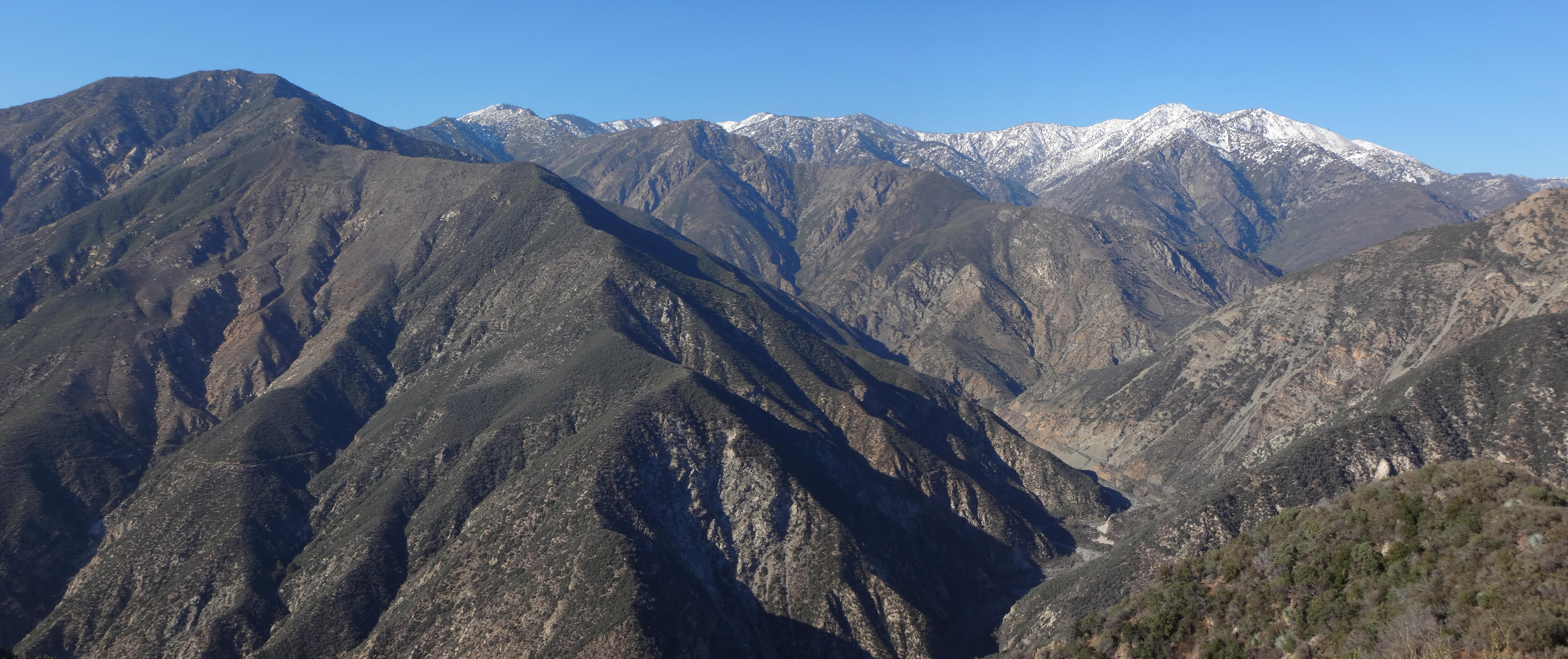
While the highpoint was shaded by vegetation, moving a few yards away offered a stunning mountain skyline of Rattlesnake Peak to Baden-Powell.
I sat down and savored my sandwich in the warm winter sunshine. The clear blue sky dissolved all concerns about gland-hunting Satanists. And the natural silence infused my soul with thoughts about the mildly disappointing absence of a benchmark.
You see, before visiting the summit, I had searched for the Bonita Benchmark with no luck. The Lower Peaks guide reported at least one surviving reference mark, but either I stupidly missed it, or it's gone now.
I rolled into the East Fork parking lot around noon, having grabbed a sandwich in Azusa for my summit meal. All footlong subs at Subway were only six bucks each for a limited time. I purchased the roast beef, and resisted an impulse to add cookies and soda. Back at the East Fork parking lot, I took one of a few remaining spaces and prepared for the adventure to come.
From the parking lot I ambled up the fire road. My brand-new, thick black socks felt good. I like dressing in black, even though I'm a fairly friendly guy and don't believe in Satan, despite the fact that I listen to Satanic metal. But then I also listen to some Christian music--as long as it's catchy or has a Satanic rhythm.
My hiking pole seemed like an unnecessary aid on the flat fire road, but I was sure it would serve some useful purpose later on in the journey. For example, I might run into a vicious Satanist who wanted to cut me open and eat my glands. In which case a pointy, aluminum stick would surely come in handy for self-defense.
While deep in thought, I could see and hear the strong river rushing through the canyon to the left of the road.
After a half-mile I reached the campground. A couple tents were set up. Turning right, I started on the Heaton Flats singletrack. It wasn't long before canyon views opened up. Shoemaker Road hugged slopes on the opposite side of the river.
The trail seemed steeper than I remembered it. But then I also seemed less conditioned than the last time I hiked here. Several breaks were required to "take in the scenery" (and maybe also to forestall a respiratory meltdown). Eventually, my legs made it up the minor gully, across a minor stream, and to the first minor saddle, where I rejected another break opportunity due to lack of shade.
Pushing on, the trail marched up and around, now mostly following and skirting a major ridge. At the next shady section I rested and enjoyed the view of snowy Ontario Peak to the east.
A switchback landed me on the top of the ridge with a view of perhaps the steepest section ahead.
This stretch can be mellowed by utilizing an abandoned, deteriorated switchback, instead of following the blazed route straight up the spine of the ridge. Going up I used the direct path. But coming down I took the switchback.
Beyond this part, the trail moved along the northwest (left) side of the ridge for three-tenths of a mile before bending onto a tiny saddle. Bonita Peak is the slight bump 400 feet south (right) from this saddle. To the northeast 500 feet is a slightly higher double-hump, which marks the corner where the trail turns to head dead eastward over a rolling stretch of the ridge.
(Looking east from the double-hump toward Coldwater Saddle and West Baldy.)
(Looking back from the double-hump. Bonita Peak is the middle-left bump.)
From the saddle between Bonita and the double-hump, I bushwhacked along the top of the ridge to the tiny summit, which contained a register placed by Cecelia last year.
While the highpoint was shaded by vegetation, moving a few yards away offered a stunning mountain skyline of Rattlesnake Peak to Baden-Powell.

I sat down and savored my sandwich in the warm winter sunshine. The clear blue sky dissolved all concerns about gland-hunting Satanists. And the natural silence infused my soul with thoughts about the mildly disappointing absence of a benchmark.
You see, before visiting the summit, I had searched for the Bonita Benchmark with no luck. The Lower Peaks guide reported at least one surviving reference mark, but either I stupidly missed it, or it's gone now.