Spectre
Posted: Sun Jan 29, 2017 8:15 pm
Like (I suspect) most people here, I've never heard of the Coxcomb Mountains. Until this Saturday, that is.
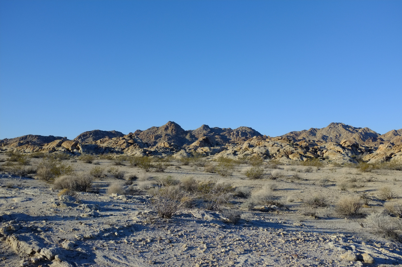
We set off just after dawn from a nondescript patch of sand in the middle of nowhere:

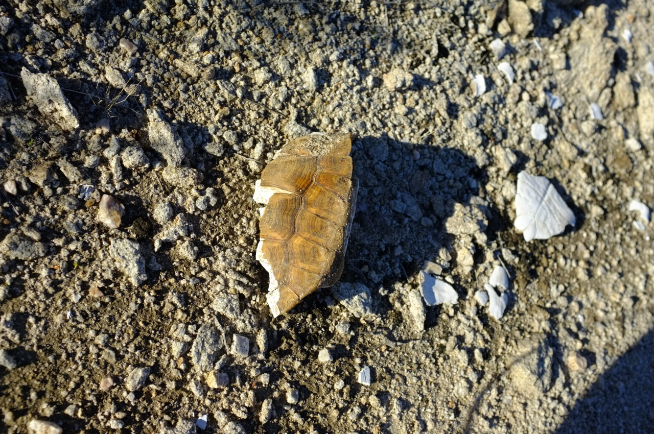
This area looks to be very dry throughout the year. Here not even the yuccas survive. There's abundant cat's claw however, and at least one desert tortoise hung out here at some point
We followed a dry wash towards the rugged boulder fields in the distance. The terrain got more and more bouldery as we entered the Coxcombs.


We walked up this drainage until it ended at a low pass. More boulder fields made themselves seen on the other side. After dropping a bit down the gully on the other side, a long, steep and bouldery canyon came into view

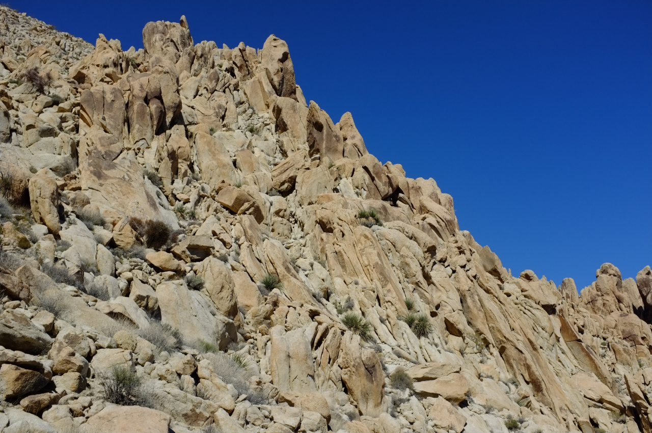
This is clearly an excellent feature to ascend, so up we went. I should say that this whole mountain range is extremely disorienting. Everything is made up of various-sized boulders. There's no sense of scale or distance on anything. After an uncertain amount of climbing we passed peace-sign rock
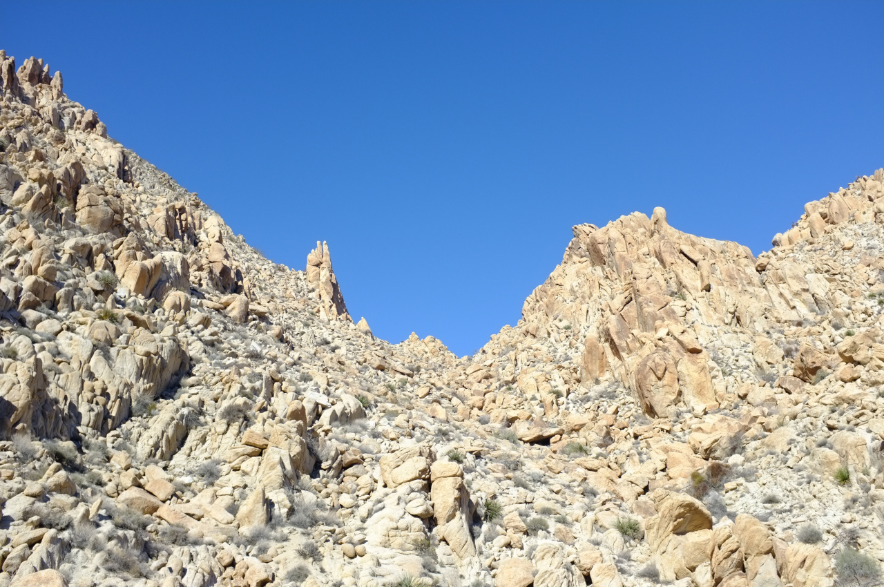
handset rock

and pigeonhole rock

There were some recent storms, so a bit of water (and even ice!) could be found in places. Going up, yuccas appeared, and even an occasional tree. We could eventually see the top of the drainage:
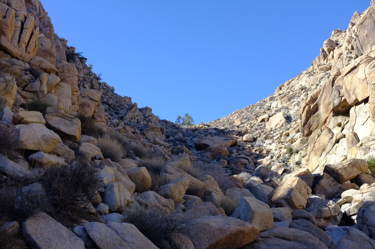
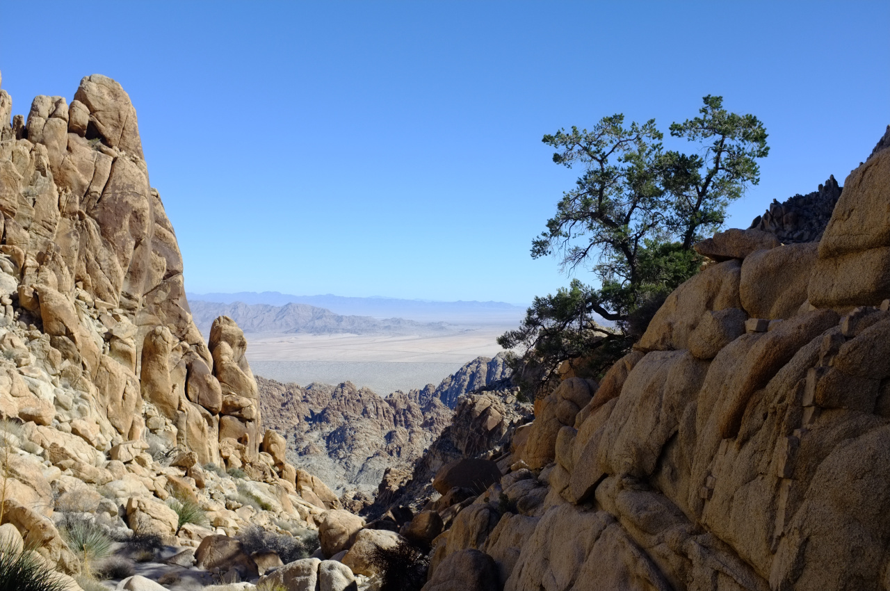
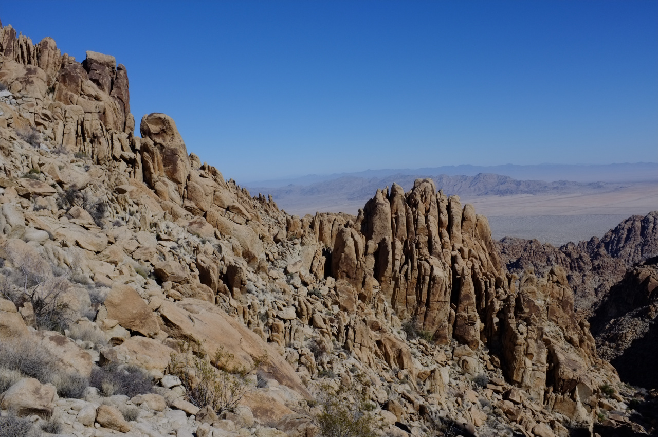
Looking back, this place doesn't quite look like Mars, but it's not Earthly either:
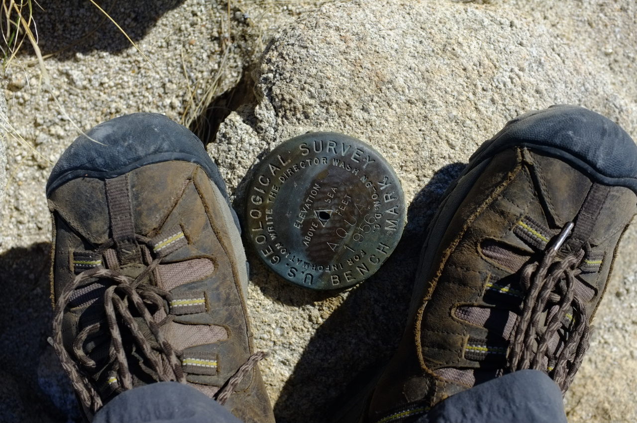
At the top of the drainage, we went right, climbed an area the map claimed to be a high point, and ended up on top, at the Aqua benchmark (Tensor point).
We signed the register, which contains entries going back to 1969! If you want to see them, you'll have to visit. The view are grand:

The San Bernardino and San Jacinto mountains are full of snow! Despite all that, Tensor is not the high-point of the range. THAT is Spectre peak, at the right of the center cluster in the pano. The (barely) second-highest is Dyadic point at the left of the center cluster. Dyadic looks to require a technical ascent, so we left that for next time, descended to the saddle, and started up Spectre. That ascent is a bit more technical than Tensor, but we eventually topped out. This is a much more pointy summit than Tensor, but the views are largely the same. We took some photos, ate some food, and scrambled back to the cars, finishing in the dark. I found 2 birthday baloons, so even THIS place isn't sufficiently remote apparently.
The roundtrip is around 15-16 miles, with most of this distance covered by walking in the wash (or a very old road at the start). The net elevation gain is about 2700ft from start to high-point, with a bit of lost elevation to cross drainages and peaks. Most of this gain is covered by scrambling up boulder fields. We didn't end up doing anything harder than class 3, MAYBE some low class 4, but most any kind of climbing is available. It goes without saying that there's no trail. In conclusion, this place is pretty cool.
We set off just after dawn from a nondescript patch of sand in the middle of nowhere:


This area looks to be very dry throughout the year. Here not even the yuccas survive. There's abundant cat's claw however, and at least one desert tortoise hung out here at some point

We followed a dry wash towards the rugged boulder fields in the distance. The terrain got more and more bouldery as we entered the Coxcombs.


We walked up this drainage until it ended at a low pass. More boulder fields made themselves seen on the other side. After dropping a bit down the gully on the other side, a long, steep and bouldery canyon came into view

This is clearly an excellent feature to ascend, so up we went. I should say that this whole mountain range is extremely disorienting. Everything is made up of various-sized boulders. There's no sense of scale or distance on anything. After an uncertain amount of climbing we passed peace-sign rock

handset rock

and pigeonhole rock

There were some recent storms, so a bit of water (and even ice!) could be found in places. Going up, yuccas appeared, and even an occasional tree. We could eventually see the top of the drainage:

Looking back, this place doesn't quite look like Mars, but it's not Earthly either:


At the top of the drainage, we went right, climbed an area the map claimed to be a high point, and ended up on top, at the Aqua benchmark (Tensor point).

We signed the register, which contains entries going back to 1969! If you want to see them, you'll have to visit. The view are grand:

The San Bernardino and San Jacinto mountains are full of snow! Despite all that, Tensor is not the high-point of the range. THAT is Spectre peak, at the right of the center cluster in the pano. The (barely) second-highest is Dyadic point at the left of the center cluster. Dyadic looks to require a technical ascent, so we left that for next time, descended to the saddle, and started up Spectre. That ascent is a bit more technical than Tensor, but we eventually topped out. This is a much more pointy summit than Tensor, but the views are largely the same. We took some photos, ate some food, and scrambled back to the cars, finishing in the dark. I found 2 birthday baloons, so even THIS place isn't sufficiently remote apparently.
The roundtrip is around 15-16 miles, with most of this distance covered by walking in the wash (or a very old road at the start). The net elevation gain is about 2700ft from start to high-point, with a bit of lost elevation to cross drainages and peaks. Most of this gain is covered by scrambling up boulder fields. We didn't end up doing anything harder than class 3, MAYBE some low class 4, but most any kind of climbing is available. It goes without saying that there's no trail. In conclusion, this place is pretty cool.