Telescope Peak: a feat of strength
Posted: Mon Nov 21, 2016 8:24 pm
This has been mostly covered elsewhere, but I'll cover it again; with pictures!
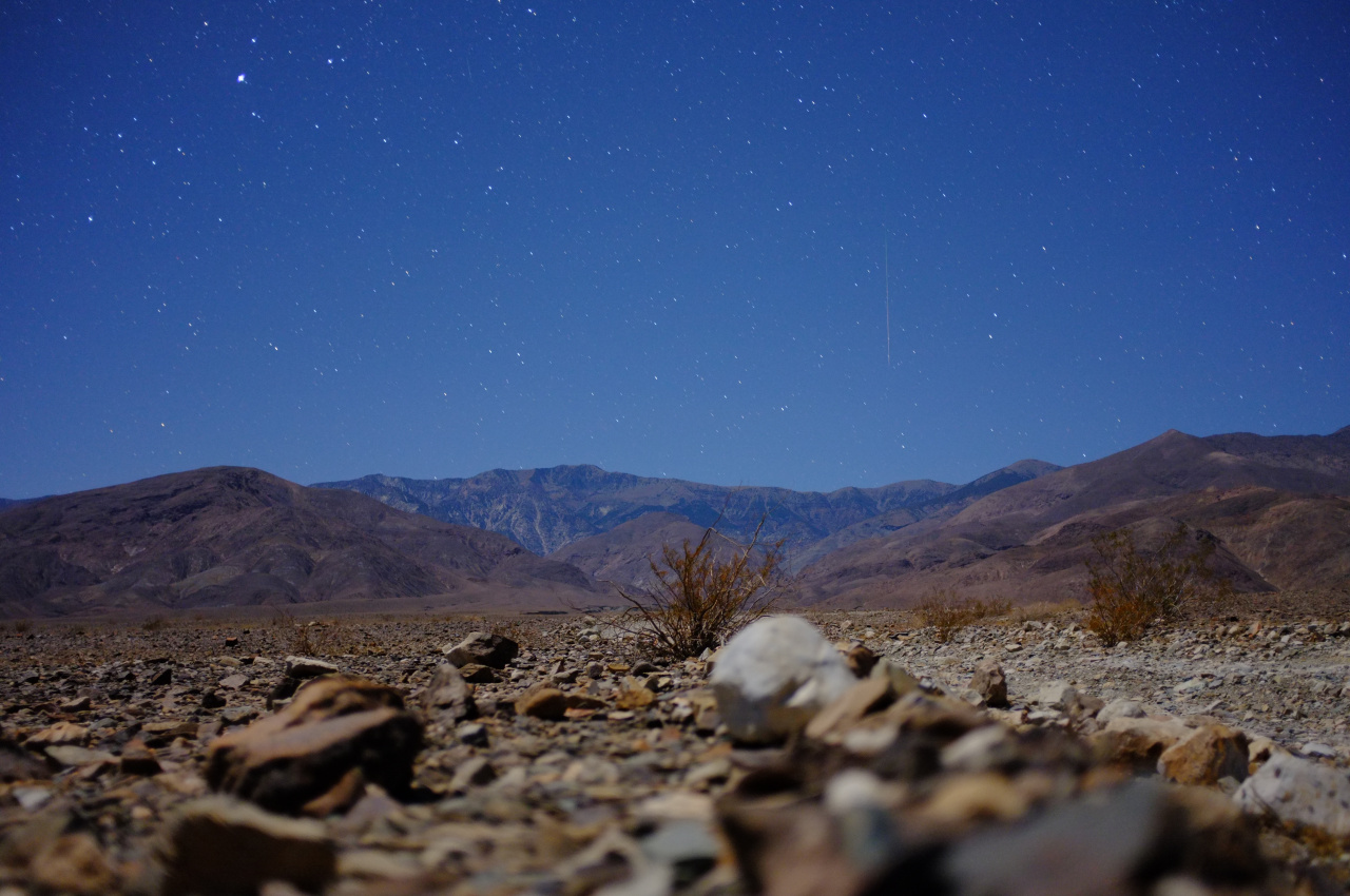
We started well before dawn from Shorty's Well (Death Valley floor, -262ft elevation). The moon was bright enough to make headlamps unnecessary, and you could see around you, but not so much the mountains themselves. Apparently if it was daytime, the top of Telescope Peak itself and the main approach ridge would be visible early on:
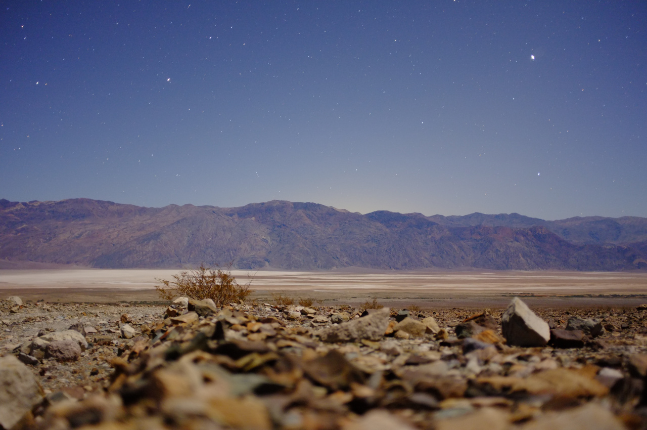
The beginning of the route climbs the gently-sloping valley floor to the mouth of Hanaupah canyon, and Badwater lake becomes defined early:
The sun came up when we were following the old mining road in the canyon:

Eventually you get to the end of the road (signed), and soon after that to Hanaupah spring and Shorty's mine. The spring is flowing well, and the mine is cool:

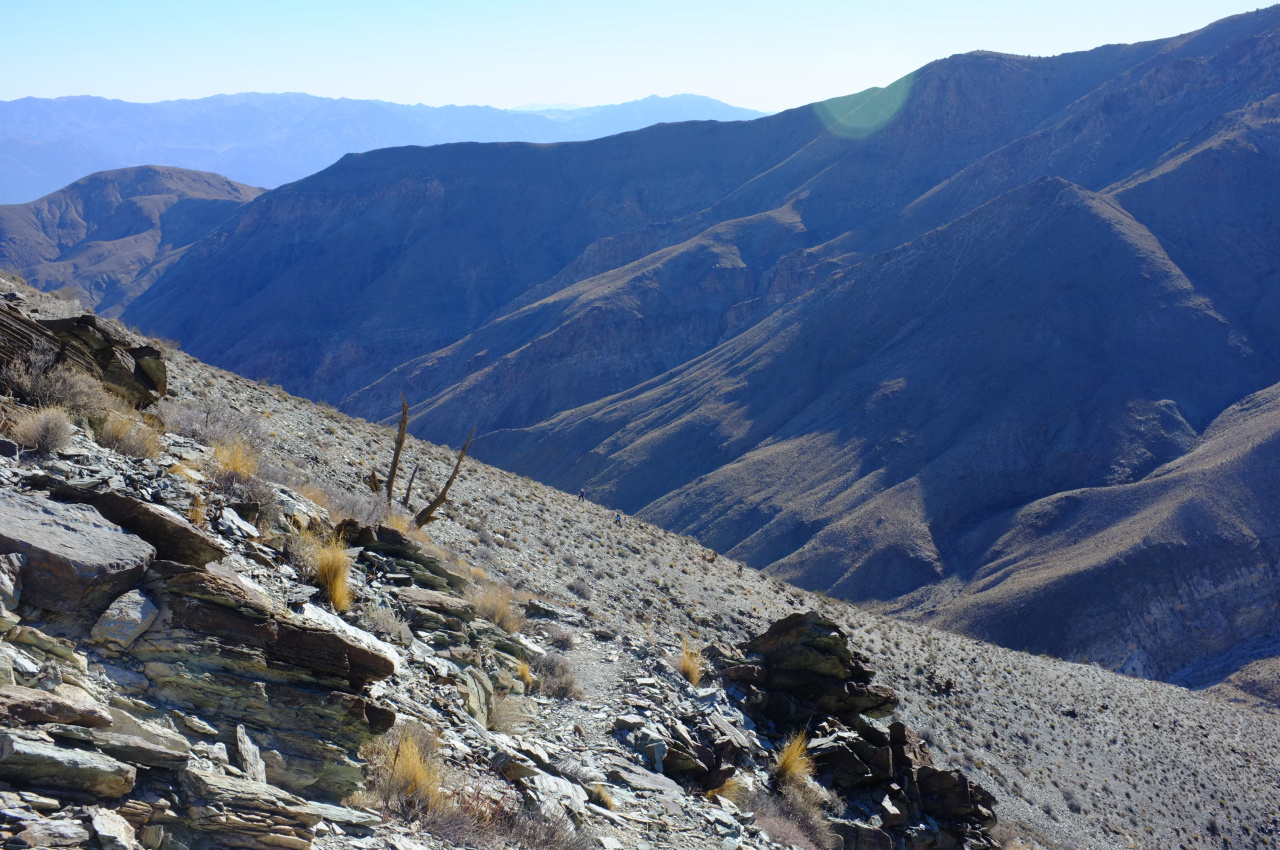
There are numerous passages inside, but nothing especially exciting. At the spring you take a right turn, and scramble straight up a loose side ridge to the top of an East-West ridge that (eventually) leads to the main ridge the peak is on. This is steep and full of scree. We're still in the desert, so brush isn't much of a problem:

The rest of the route becomes visible at the top:
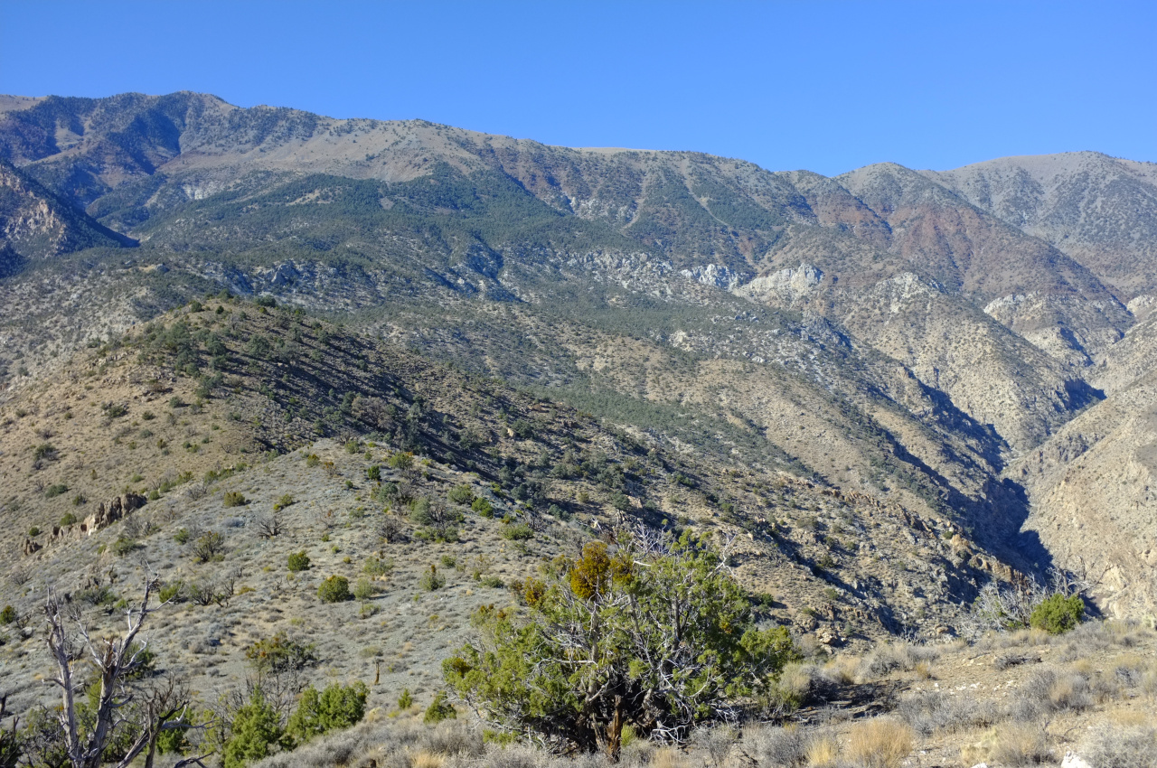
You follow the rolling ridgeline (left of the photo), then turn right in the wooded area, then ascend to a bump on the main ridge about 1/3rd of the way from the left. As you climb, Badwater lake becomes more and more visible:
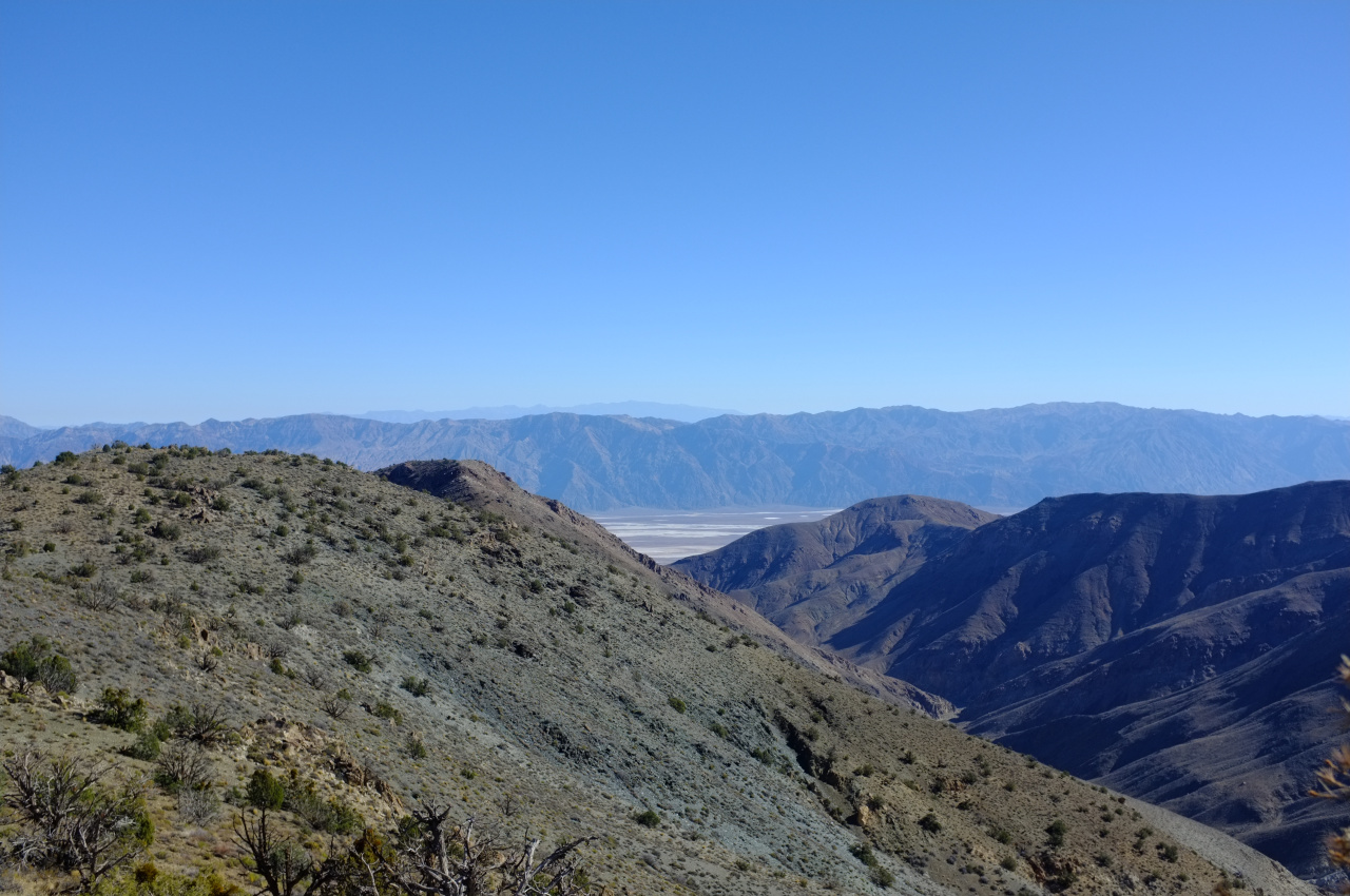
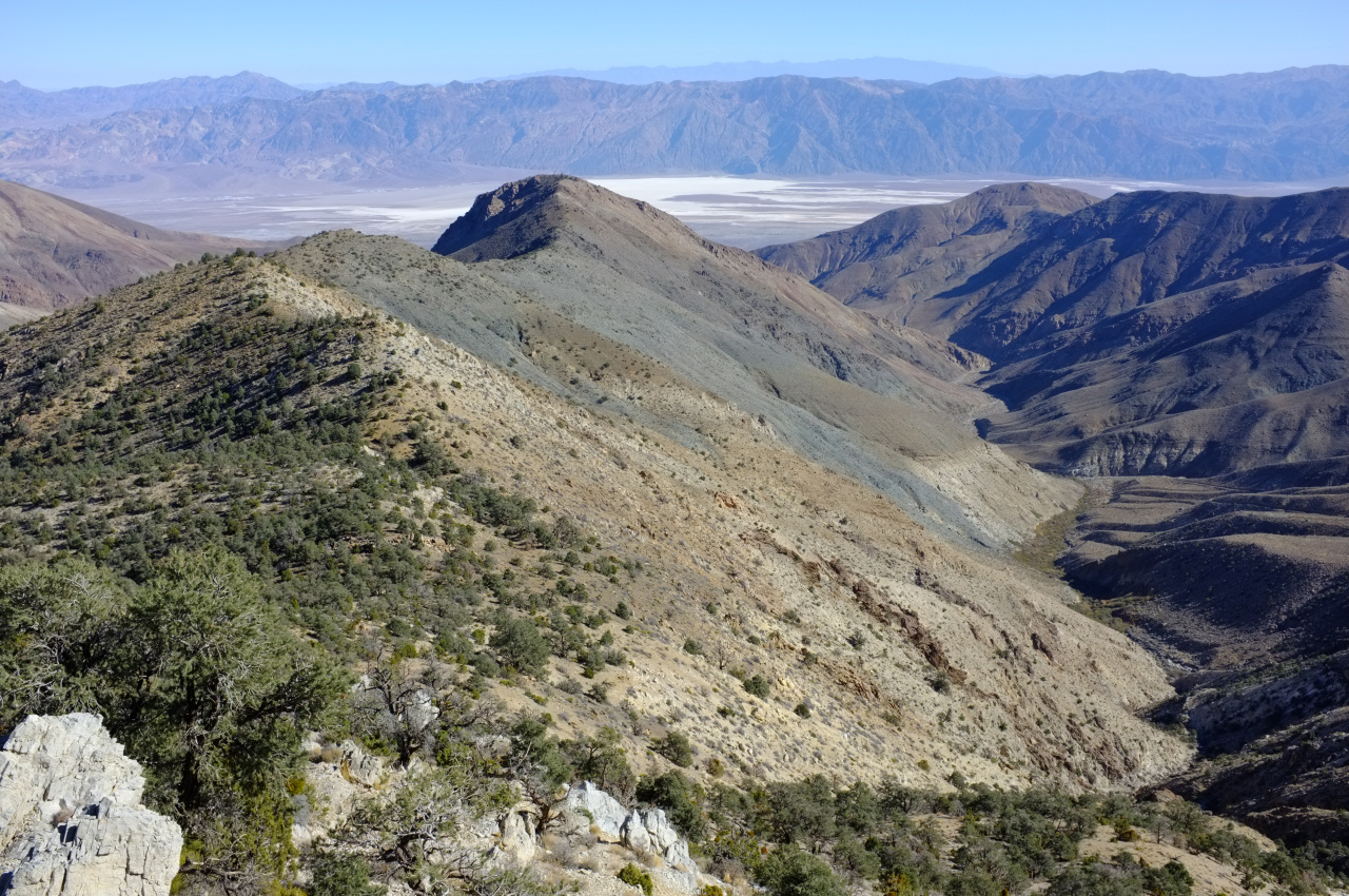
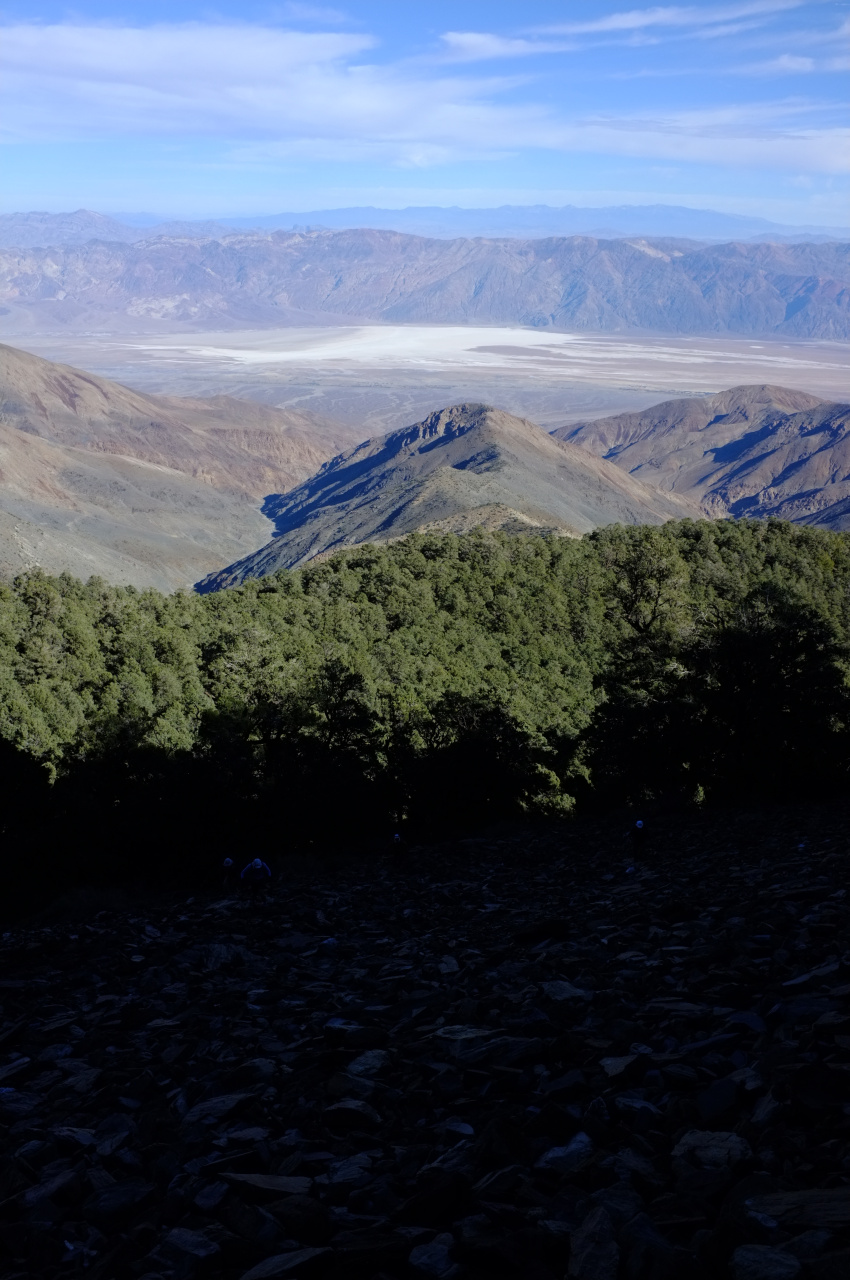

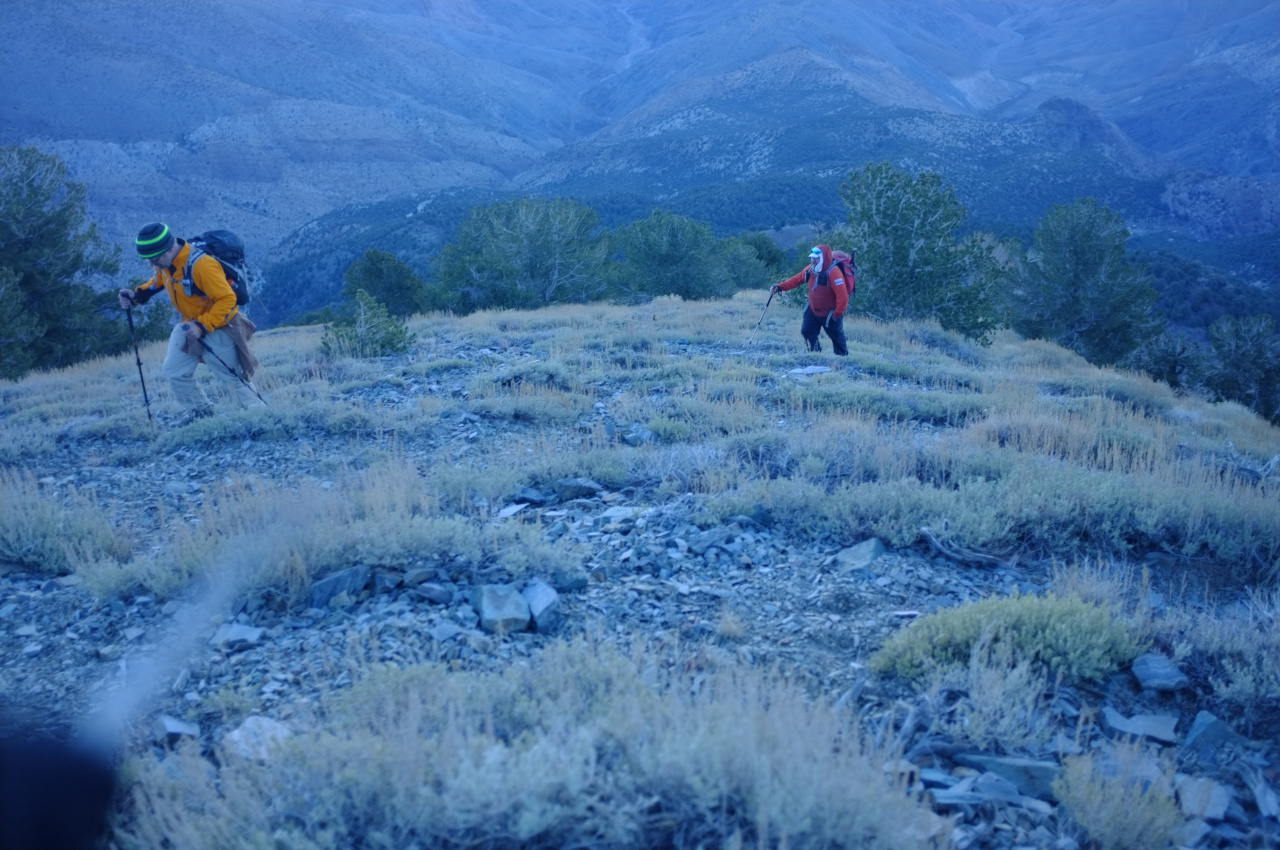
The final climb to the main ridge begins abruptly at the end of the wooded section. This is all made of loose scree and is very very steep. The photos don't tell this story at all:
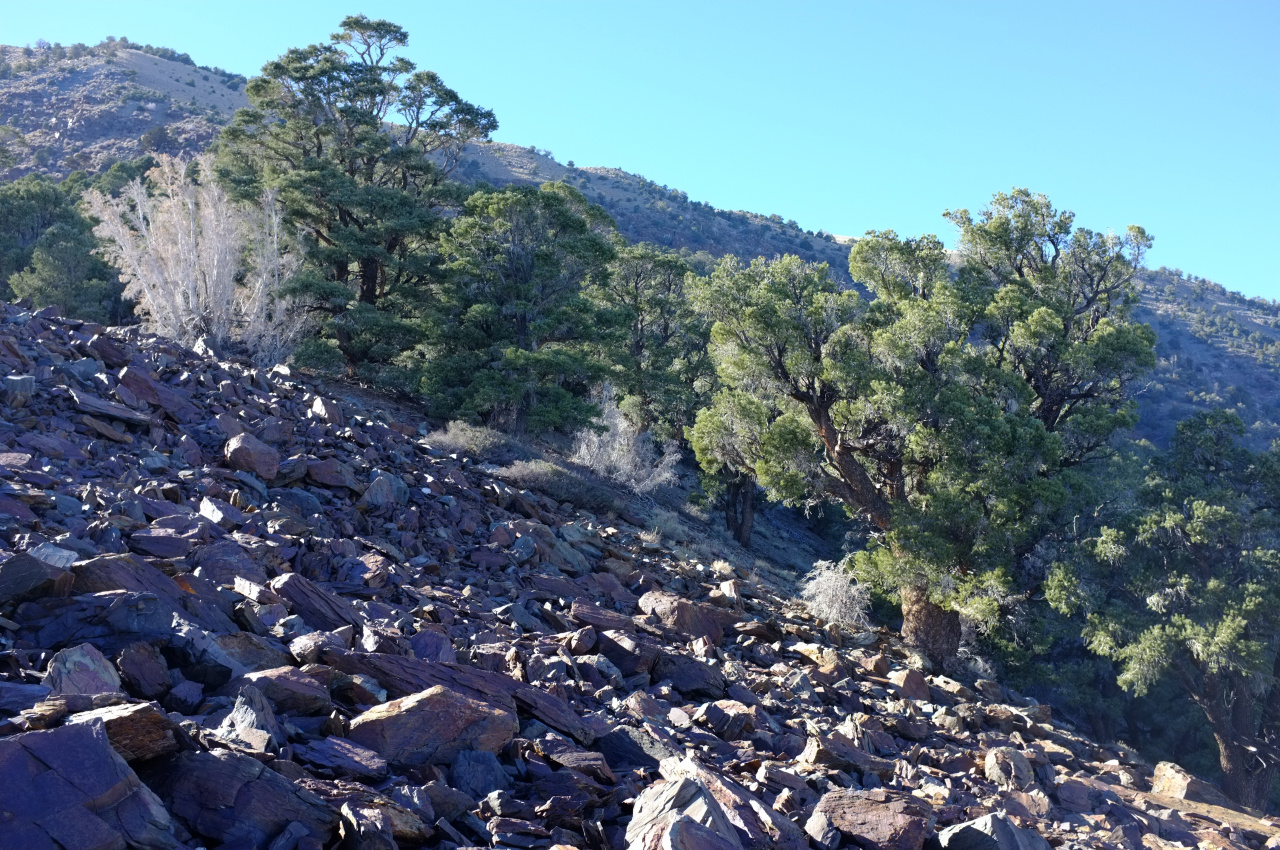
There isn't much animal life up there, but some deer hung out long enough to lose an antler:

At the main ridge you hit the main trail, and switchback the final 1000' of gain to the peak. There are some cool pines here

The views are amazing, and during sunset everything has an extra-special glow (or maybe it was just the fatigue, the thin air and the totally unreasonable cold and wind):


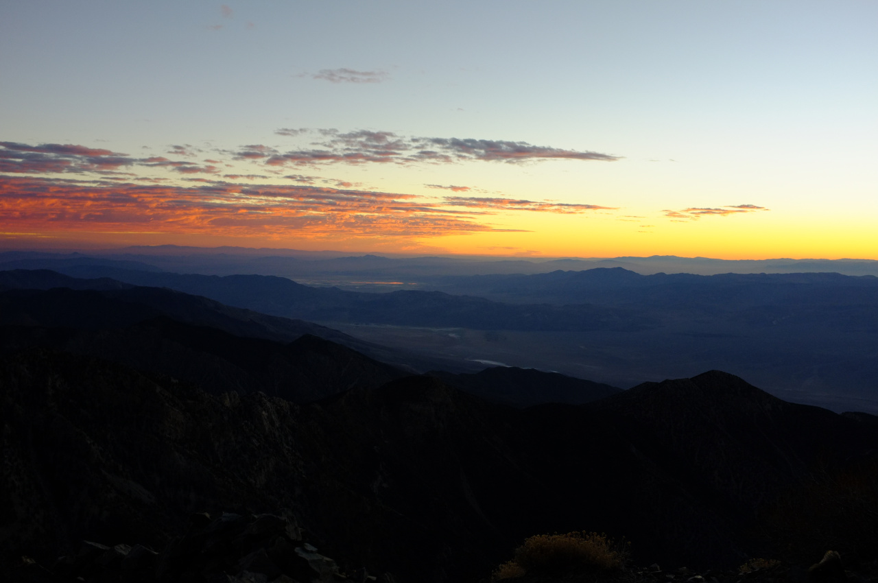
And finally from top you can see much of Death Valley sprawled out in front of you. Hard to believe this started all the way down at the bottom:

It was cold, but snow-free. This would change soon; the following morning this was the scene looking up Hanaupah canyon from Shorty's well:

So yeah. This route is kinda like C2C, except longer, with more elevation gain, steeper, off-trail, more remote and with better views from the top. Maybe it's not like C2C at all.
We started well before dawn from Shorty's Well (Death Valley floor, -262ft elevation). The moon was bright enough to make headlamps unnecessary, and you could see around you, but not so much the mountains themselves. Apparently if it was daytime, the top of Telescope Peak itself and the main approach ridge would be visible early on:

The beginning of the route climbs the gently-sloping valley floor to the mouth of Hanaupah canyon, and Badwater lake becomes defined early:

The sun came up when we were following the old mining road in the canyon:

Eventually you get to the end of the road (signed), and soon after that to Hanaupah spring and Shorty's mine. The spring is flowing well, and the mine is cool:

There are numerous passages inside, but nothing especially exciting. At the spring you take a right turn, and scramble straight up a loose side ridge to the top of an East-West ridge that (eventually) leads to the main ridge the peak is on. This is steep and full of scree. We're still in the desert, so brush isn't much of a problem:


The rest of the route becomes visible at the top:

You follow the rolling ridgeline (left of the photo), then turn right in the wooded area, then ascend to a bump on the main ridge about 1/3rd of the way from the left. As you climb, Badwater lake becomes more and more visible:


The final climb to the main ridge begins abruptly at the end of the wooded section. This is all made of loose scree and is very very steep. The photos don't tell this story at all:


There isn't much animal life up there, but some deer hung out long enough to lose an antler:

At the main ridge you hit the main trail, and switchback the final 1000' of gain to the peak. There are some cool pines here

The views are amazing, and during sunset everything has an extra-special glow (or maybe it was just the fatigue, the thin air and the totally unreasonable cold and wind):


And finally from top you can see much of Death Valley sprawled out in front of you. Hard to believe this started all the way down at the bottom:

It was cold, but snow-free. This would change soon; the following morning this was the scene looking up Hanaupah canyon from Shorty's well:

So yeah. This route is kinda like C2C, except longer, with more elevation gain, steeper, off-trail, more remote and with better views from the top. Maybe it's not like C2C at all.