Islip Peak, with Little Jimmy Spring water report
Posted: Sun Oct 23, 2016 2:19 pm
We did Islip Saddle-Little Jimmy CG-Little Jimmy Spring-Windy Gap-Islip Peak on Friday. Lots of graffiti and shortcutting at the start where the PCT switchbacks up from the 2. Someone stole the ammo box for the register. The notebooks and pencils are now in a plastic bag held down by rocks.
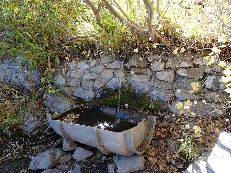
Little Jimmy Spring going strong!

DSC00497 by moore91024, on Flickr
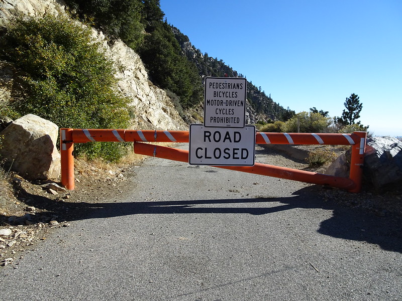
This sign has been added at the top of the 39 since I've last been by. There had been one at the bottom but there was still plausible deniability at the top for some time

DSC00503 by moore91024, on Flickr
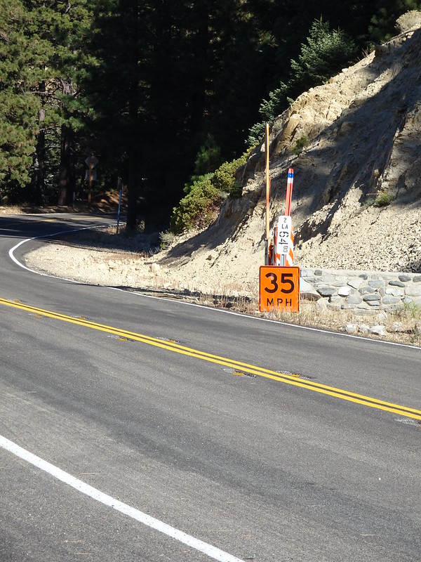
Also, does anyone know what these 35mph signs on the 2 are about? They look like they're temporary for road work, but there's nothing visible going on in the area. We saw them last weekend and thought maybe a surfacing or painting crew had left them behind, but they're still there a week later. They go from at least around the Mt Waterman area to Islip Saddle.

DSC00504 by moore91024, on Flickr
Little Jimmy Spring going strong!

DSC00497 by moore91024, on Flickr
This sign has been added at the top of the 39 since I've last been by. There had been one at the bottom but there was still plausible deniability at the top for some time

DSC00503 by moore91024, on Flickr
Also, does anyone know what these 35mph signs on the 2 are about? They look like they're temporary for road work, but there's nothing visible going on in the area. We saw them last weekend and thought maybe a surfacing or painting crew had left them behind, but they're still there a week later. They go from at least around the Mt Waterman area to Islip Saddle.

DSC00504 by moore91024, on Flickr