Polychrome Peak & Mount Tyndall
Posted: Sun Oct 02, 2016 9:05 pm
I had envisioned doing a trip starting at Shepherds Pass and ending at Whitney Portal. The plan was to hike up Shepherds and bag Tyndall, Williamson, Trojan, Barnard, Russell, Whitney and Muir by going mostly cross country. I detailed my original plan here : http://www.highsierratopix.com/communit ... 14&t=14970 . My hiking partner for this trip was someone I had met from the bay area via land rover club contacts. I gave him the low down on the trip and he was on board. We penciled in the trip for the last weekend of Sept.
Thursday Sept 22, 2016:
I left the LA area around 10:00 after picking up a couple of last minute supplies from REI in Arcadia. The drive from LA up the 14 and 395 was pretty uneventful until I reached Mojave. At Mojave the winds really started to pick up and blow everyone around. It's a little unnerving seeing 18 wheelers getting blown sideways on the freeway next to you. The strong headwinds slowed progress, I drive a lifted Land Rover Discovery and needless to say I was getting blown around just about as bad as the semis. My original ETA to the visitor center in Lone Pine was around 1:30. Due to the strong winds slowing progress, and pulling over at Pearsonville to check and make sure that my hood was securely latched after seeing it blow around with the winds I arrived about 2:30. I went inside and detailed my route to the Ranger at the desk and got the appropriate walk up permit and wag bag since our proposed route was going to take us into the Whitney Zone. With the permit sorted I drove up the street to McDonalds and waited for my hiking partner to show up. He arrived right about 3, having driven south from the Bay Area and cutting across the 58 from the 5, wanting to avoid cutting through Yosemite and the 120. Same amount of time oddly enough, although his chosen route was about 100 miles longer in distance than taking 120 through the park.
With pleasantries dispensed with we proceeded to drive up to the Lone Pine Campground where we were going to leave his car for when we planned to hike out from Whitney Portal on Tuesday. We ran into the construction delays for the repaving project on Whitney Portal Road just outside of town and had to wait about 15 minutes for the pilot car to lead us up. Slowing following the pilot car up the road we arrived at the Lone Pine Campground a short while later. He parked and transferred all his gear into my truck and we headed out to the road to wait for the next pilot car to come back down. 10 minutes later we were behind the pilot car again, heading back down to Lone Pine. With the construction cleared we proceeded to make our way to the Shepherds Pass Trailhead. We got off the 395 at Manzanar and took dirt two track roads all the way to the trailhead, cutting off some distance by not driving all the way up to Independence and then cutting back over via Onion Valley Road.
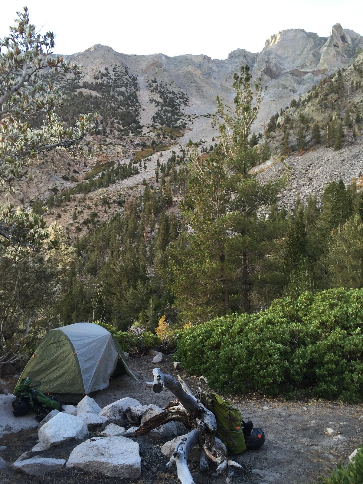
We arrived at the trailhead around 4:15, got our gear sorted and proceeded to head up the trail from the hiker parking area at 4:30. The plan was to hike to Mahogany Flat and camp for the evening. We got under way, first hitting the John Muir Wilderness Boundary and then proceeding to make the four stream crossings of Symmes Creek before hitting the start of the 58 switchbacks that take you up to Symmes Saddle. We took our time, arriving at the saddle about 7:00, some 4.2 miles and two and a half hours after we began. At this point the sun had just recently set in earnest and darkness began to descend as twilight waned. We donned our headlamps and proceeded down the hill, loosing 500' of hard earned elevation over the next mile and a half before the trail begin to climb again, making the final push to Mahogany Flat. We covered the last mile and some change in just under an hour, arriving at Mahogany Flat right at 8:30, some four hours after we had began. Finding a suitable campsite and not moving uphill, we quickly donned a layer or two with the temps having dropped dramatically since night fall. Here and there there would be some stiff breezes coming down the mountain, adding to the chill. We set up camp and made dinner and sat around and chatted for a minute before retiring. Over the course of our discussions my hiking partner admitted that he may have bitten off more than he could chew on this trip, being thoroughly exhausted after making the climb to Mahogany Flat. He was considering bailing, and heading back out the next morning. Hrmm.. not what you want to hear at the beginning of a 5 day, mostly off trail excursion. Not wanting to admit defeat, especially with how difficult it had been to schedule this trip with work and family obligations, I told him that we would play it by ear the next day and see how he was feeling in the morning, going slower and adjusting our itinerary as needed. When we finally hit the sack around 10:00 the the air temp had already dropped to 28 degrees. We were in for a chilly night for sure.
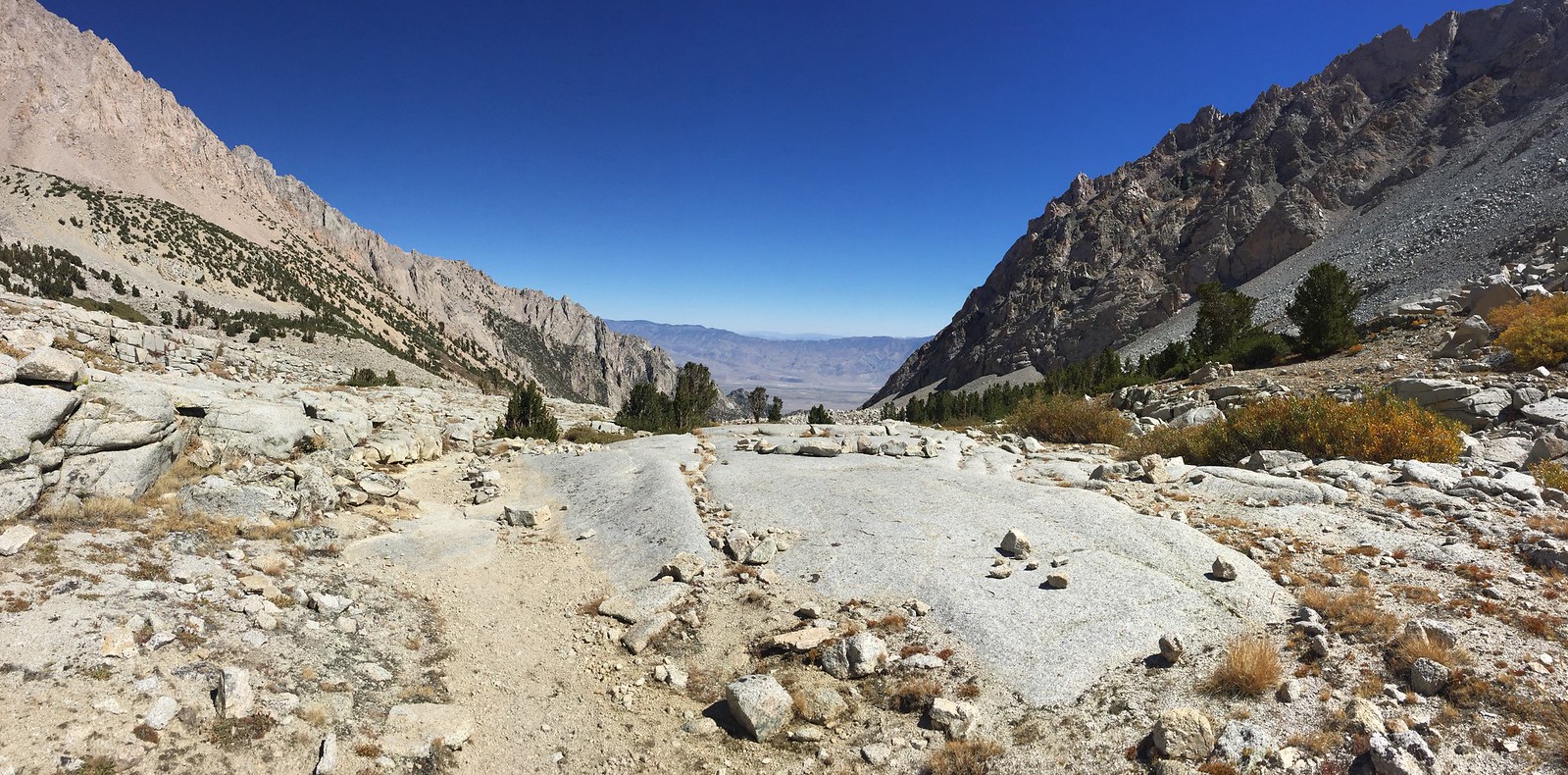
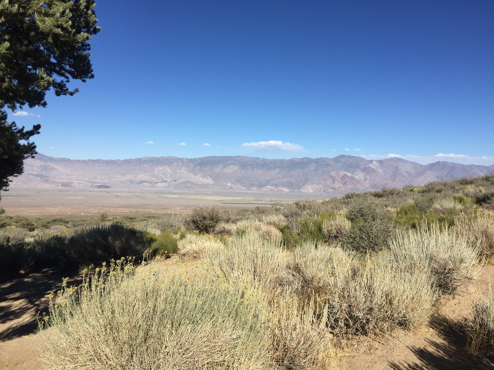
At the trailhead looking out across the Owens Valley:
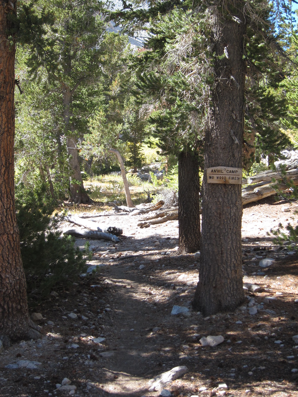
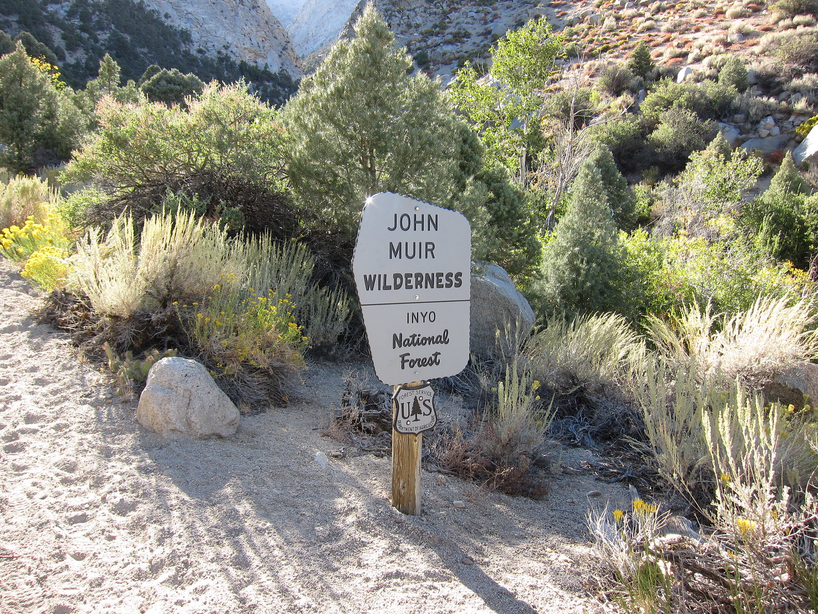
Sign denoting the John Muir Wilderness boundary:
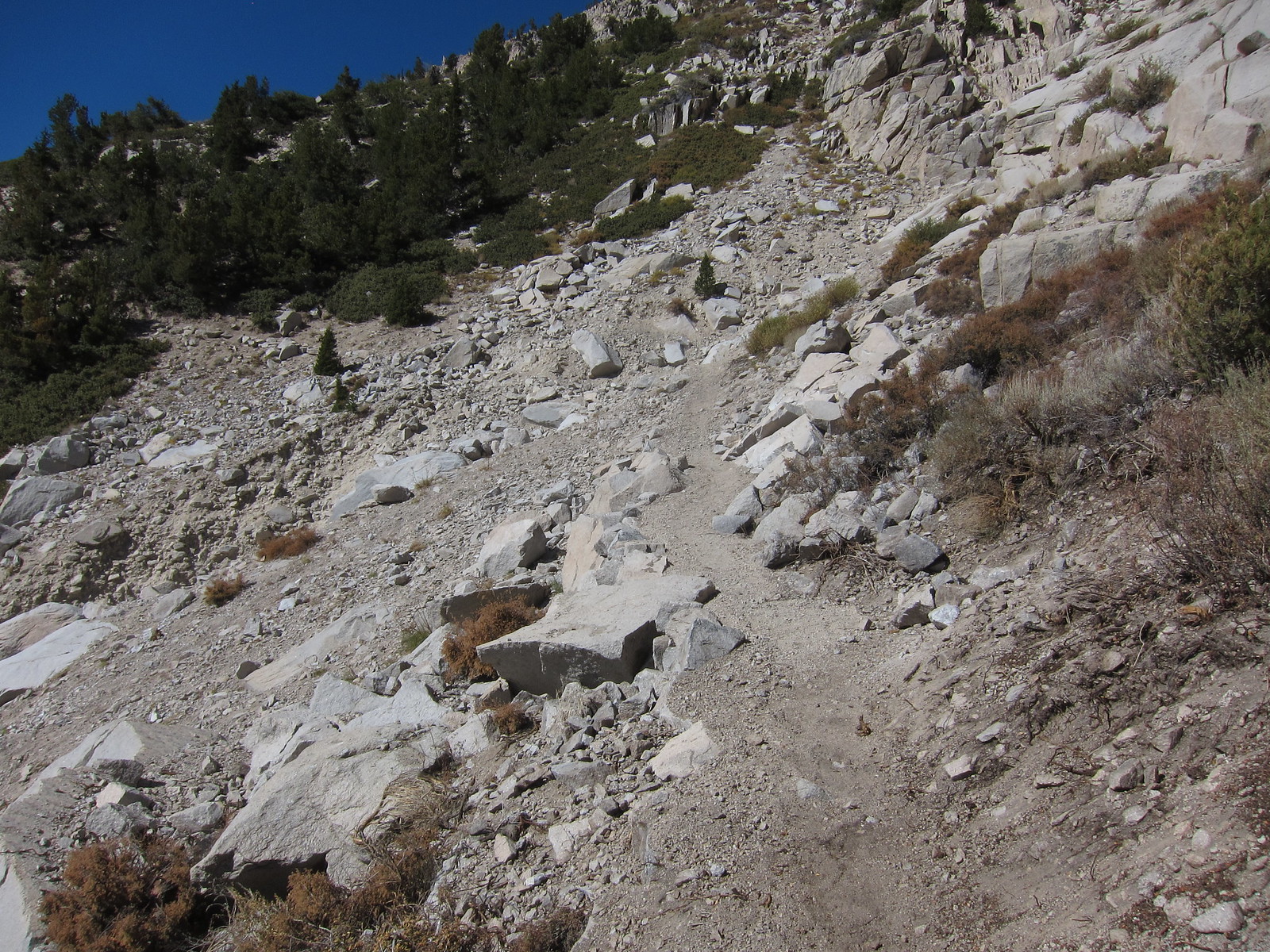
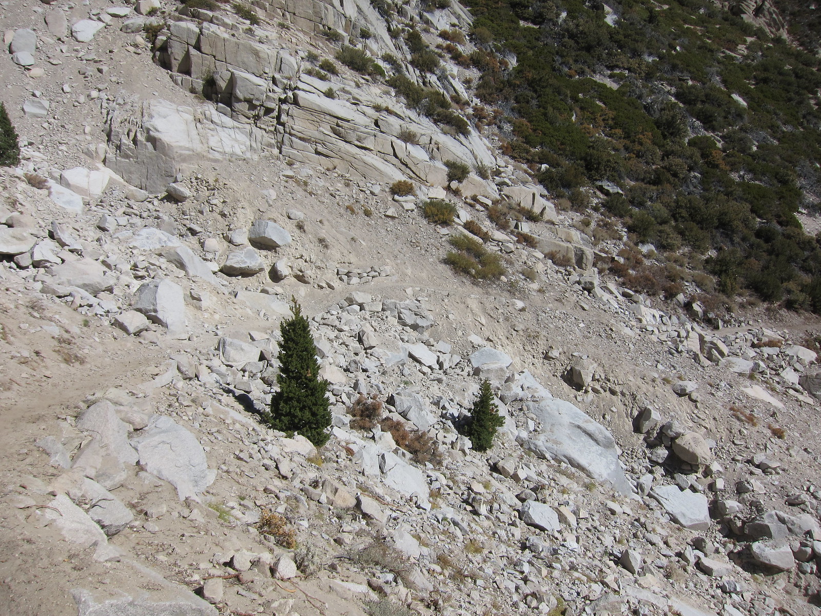
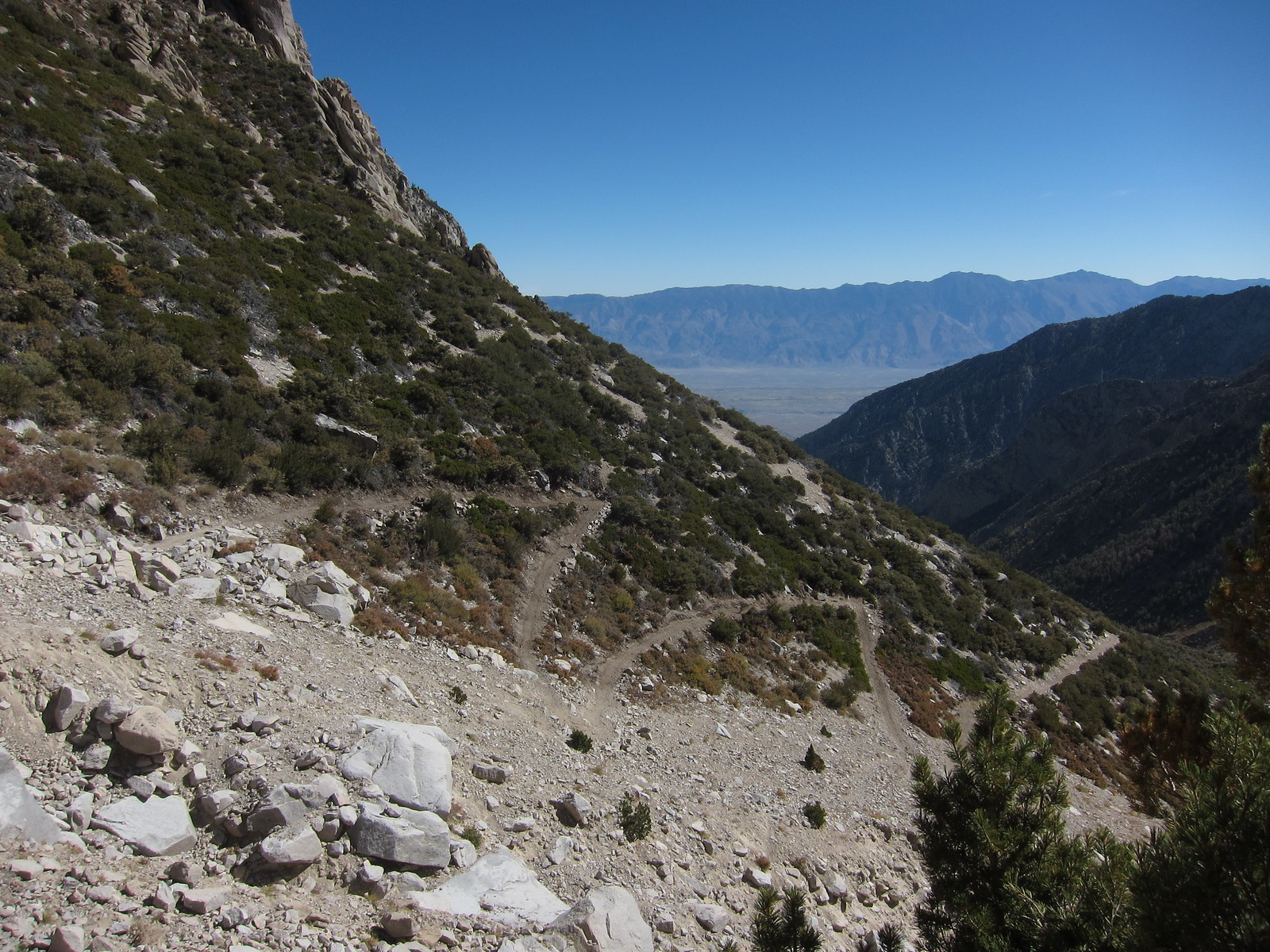
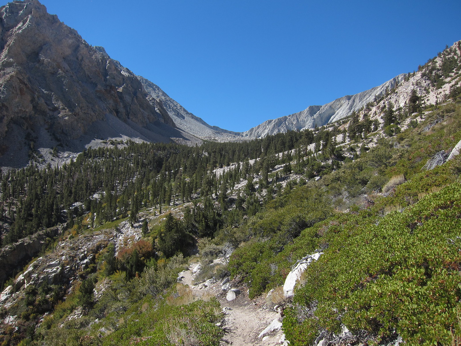
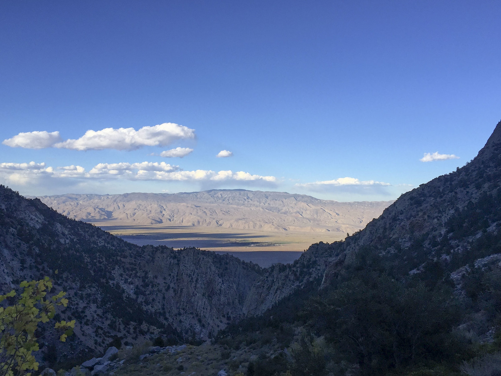
Looking out from the switchbacks as you climb towards Symmes Saddle:
Thursday Sept 22, 2016:
I left the LA area around 10:00 after picking up a couple of last minute supplies from REI in Arcadia. The drive from LA up the 14 and 395 was pretty uneventful until I reached Mojave. At Mojave the winds really started to pick up and blow everyone around. It's a little unnerving seeing 18 wheelers getting blown sideways on the freeway next to you. The strong headwinds slowed progress, I drive a lifted Land Rover Discovery and needless to say I was getting blown around just about as bad as the semis. My original ETA to the visitor center in Lone Pine was around 1:30. Due to the strong winds slowing progress, and pulling over at Pearsonville to check and make sure that my hood was securely latched after seeing it blow around with the winds I arrived about 2:30. I went inside and detailed my route to the Ranger at the desk and got the appropriate walk up permit and wag bag since our proposed route was going to take us into the Whitney Zone. With the permit sorted I drove up the street to McDonalds and waited for my hiking partner to show up. He arrived right about 3, having driven south from the Bay Area and cutting across the 58 from the 5, wanting to avoid cutting through Yosemite and the 120. Same amount of time oddly enough, although his chosen route was about 100 miles longer in distance than taking 120 through the park.
With pleasantries dispensed with we proceeded to drive up to the Lone Pine Campground where we were going to leave his car for when we planned to hike out from Whitney Portal on Tuesday. We ran into the construction delays for the repaving project on Whitney Portal Road just outside of town and had to wait about 15 minutes for the pilot car to lead us up. Slowing following the pilot car up the road we arrived at the Lone Pine Campground a short while later. He parked and transferred all his gear into my truck and we headed out to the road to wait for the next pilot car to come back down. 10 minutes later we were behind the pilot car again, heading back down to Lone Pine. With the construction cleared we proceeded to make our way to the Shepherds Pass Trailhead. We got off the 395 at Manzanar and took dirt two track roads all the way to the trailhead, cutting off some distance by not driving all the way up to Independence and then cutting back over via Onion Valley Road.
We arrived at the trailhead around 4:15, got our gear sorted and proceeded to head up the trail from the hiker parking area at 4:30. The plan was to hike to Mahogany Flat and camp for the evening. We got under way, first hitting the John Muir Wilderness Boundary and then proceeding to make the four stream crossings of Symmes Creek before hitting the start of the 58 switchbacks that take you up to Symmes Saddle. We took our time, arriving at the saddle about 7:00, some 4.2 miles and two and a half hours after we began. At this point the sun had just recently set in earnest and darkness began to descend as twilight waned. We donned our headlamps and proceeded down the hill, loosing 500' of hard earned elevation over the next mile and a half before the trail begin to climb again, making the final push to Mahogany Flat. We covered the last mile and some change in just under an hour, arriving at Mahogany Flat right at 8:30, some four hours after we had began. Finding a suitable campsite and not moving uphill, we quickly donned a layer or two with the temps having dropped dramatically since night fall. Here and there there would be some stiff breezes coming down the mountain, adding to the chill. We set up camp and made dinner and sat around and chatted for a minute before retiring. Over the course of our discussions my hiking partner admitted that he may have bitten off more than he could chew on this trip, being thoroughly exhausted after making the climb to Mahogany Flat. He was considering bailing, and heading back out the next morning. Hrmm.. not what you want to hear at the beginning of a 5 day, mostly off trail excursion. Not wanting to admit defeat, especially with how difficult it had been to schedule this trip with work and family obligations, I told him that we would play it by ear the next day and see how he was feeling in the morning, going slower and adjusting our itinerary as needed. When we finally hit the sack around 10:00 the the air temp had already dropped to 28 degrees. We were in for a chilly night for sure.
At the trailhead looking out across the Owens Valley:

Sign denoting the John Muir Wilderness boundary:

Looking out from the switchbacks as you climb towards Symmes Saddle:

