Up Cloudburst Canyon (Red Box Area)
Posted: Wed May 11, 2016 7:22 am
Willie and I dropped down the Gabrieleno from Red Box to Cloudburst Canyon. We then left the trail and climbed over a check dam.
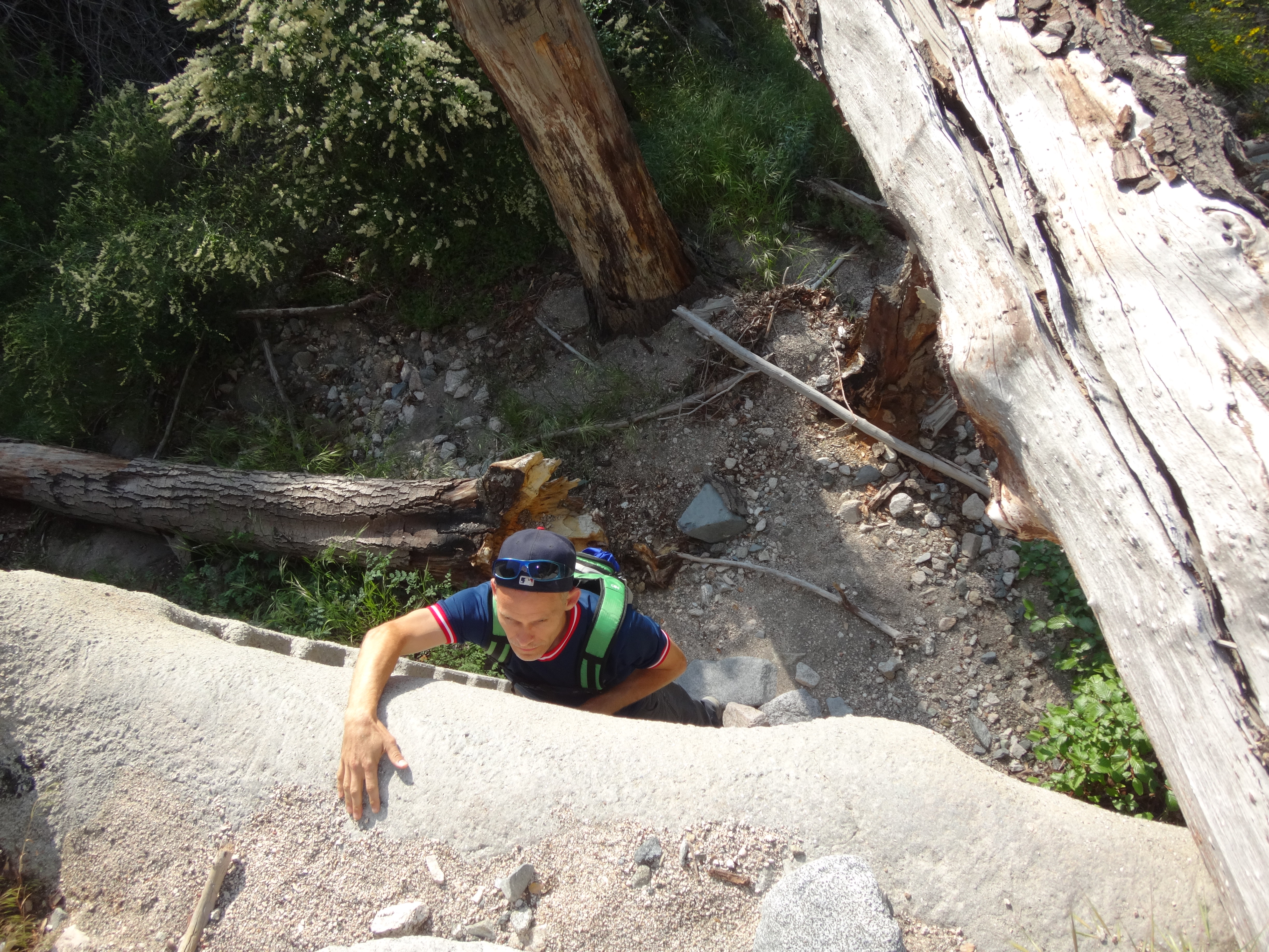
After the dam there is a split. The obscured route to the left is Cloudburst, and the clearer gully on the right is Supercloud. We went left to stay in Cloudburst.
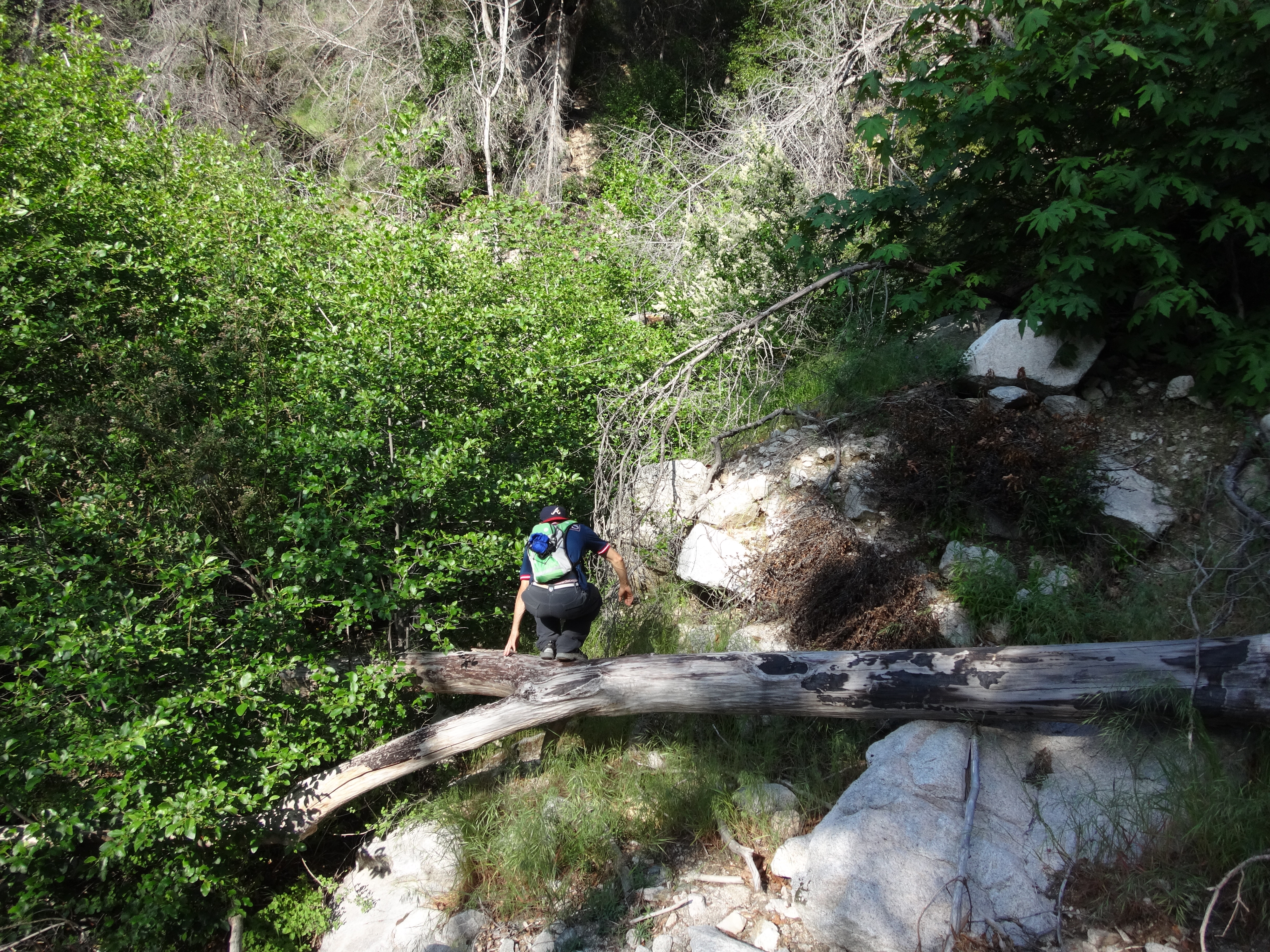
(Over the log and through the tree)
Beyond the junction was a mostly clear and easy scramble through some boulders and light branches.
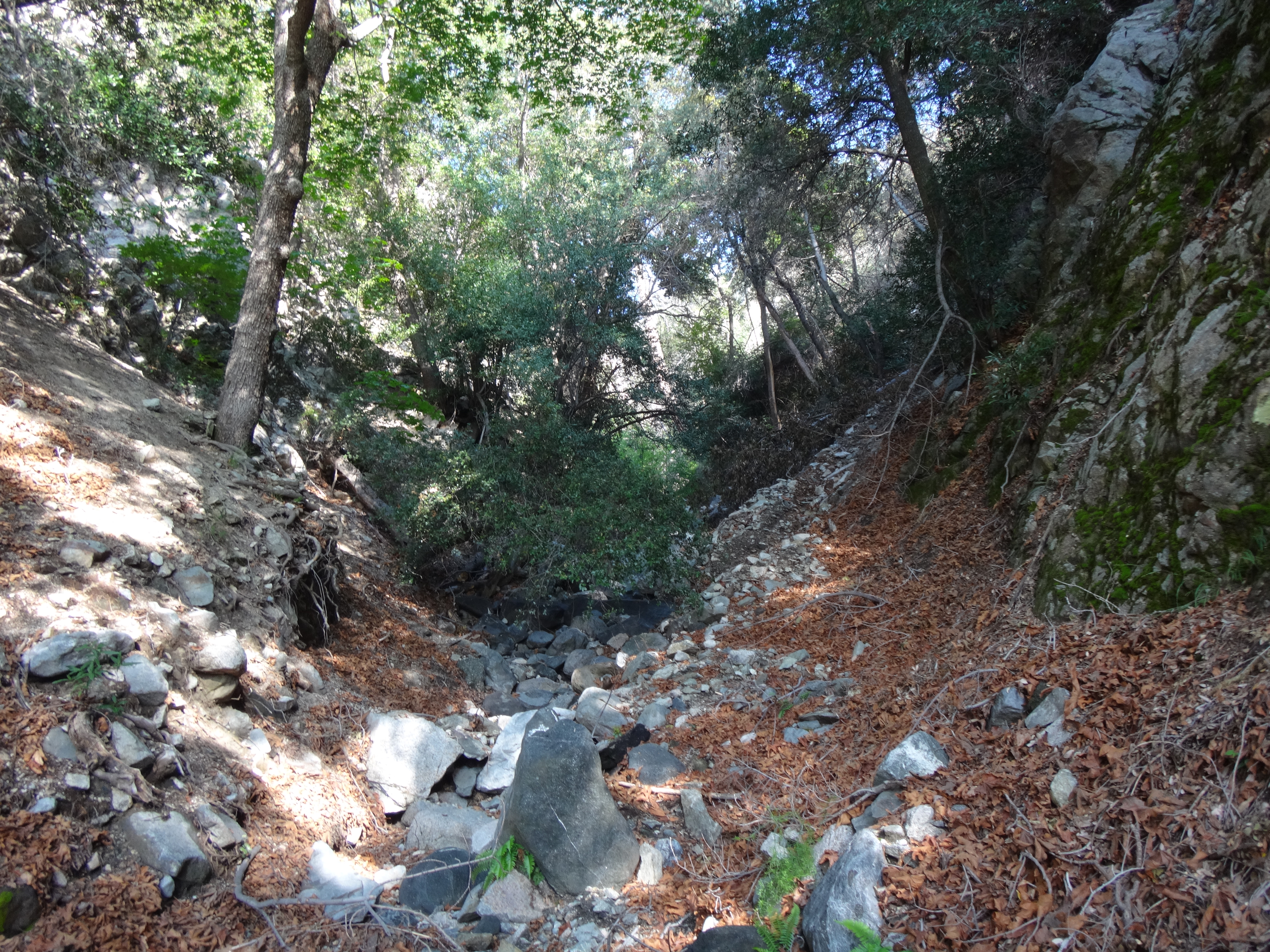
Some of the walls are beautifully vertical.
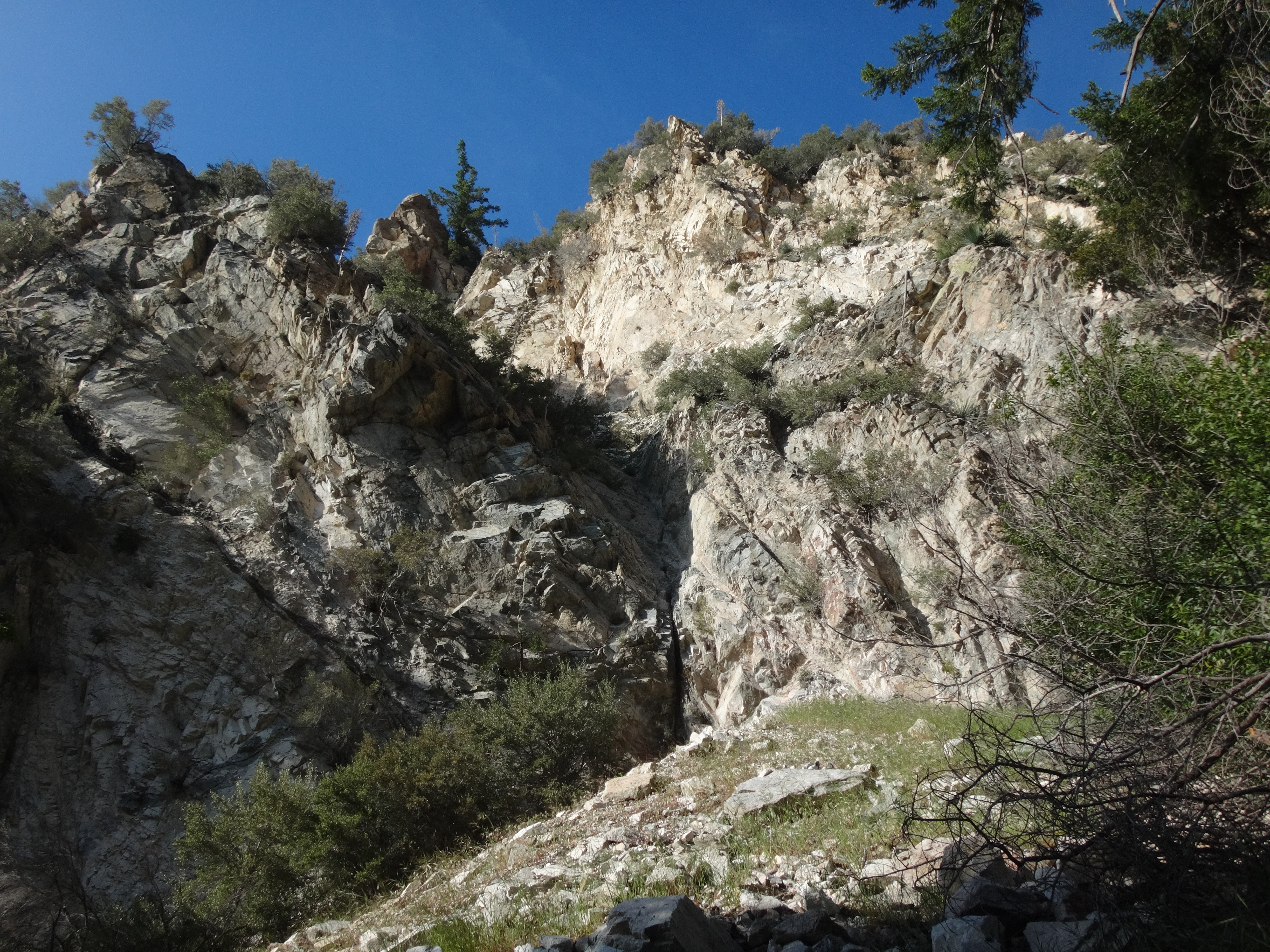
About an hour into the adventure we arrived at the headwall.
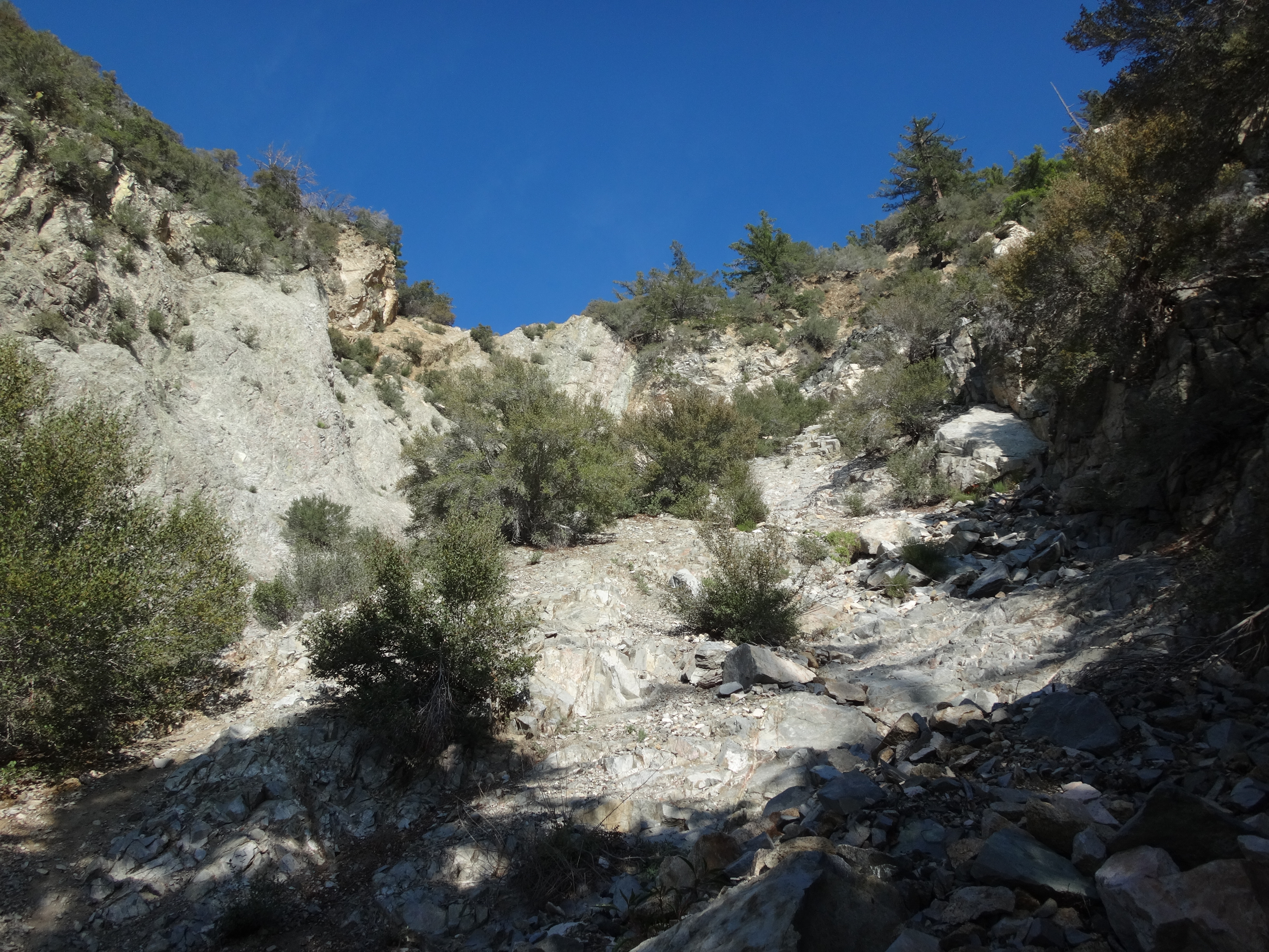
An increasingly steepening slab took us a little higher without much trouble beyond class 3.
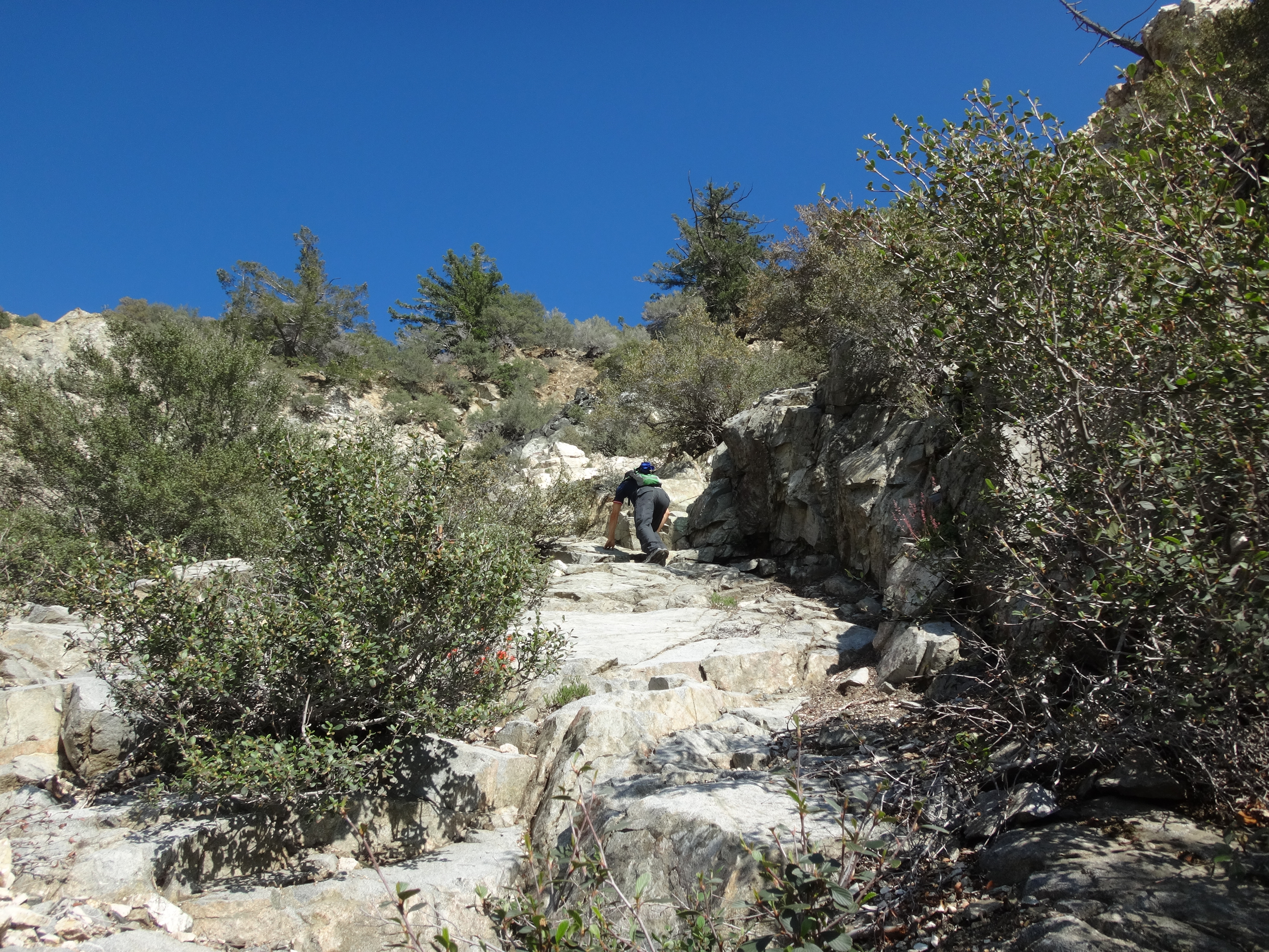
The middle of the headwall is practically vertical with probably impossible holds on terribly loose and sandy cliffs. But we found a better way up on the right side of the gully after scrambling around a bit.
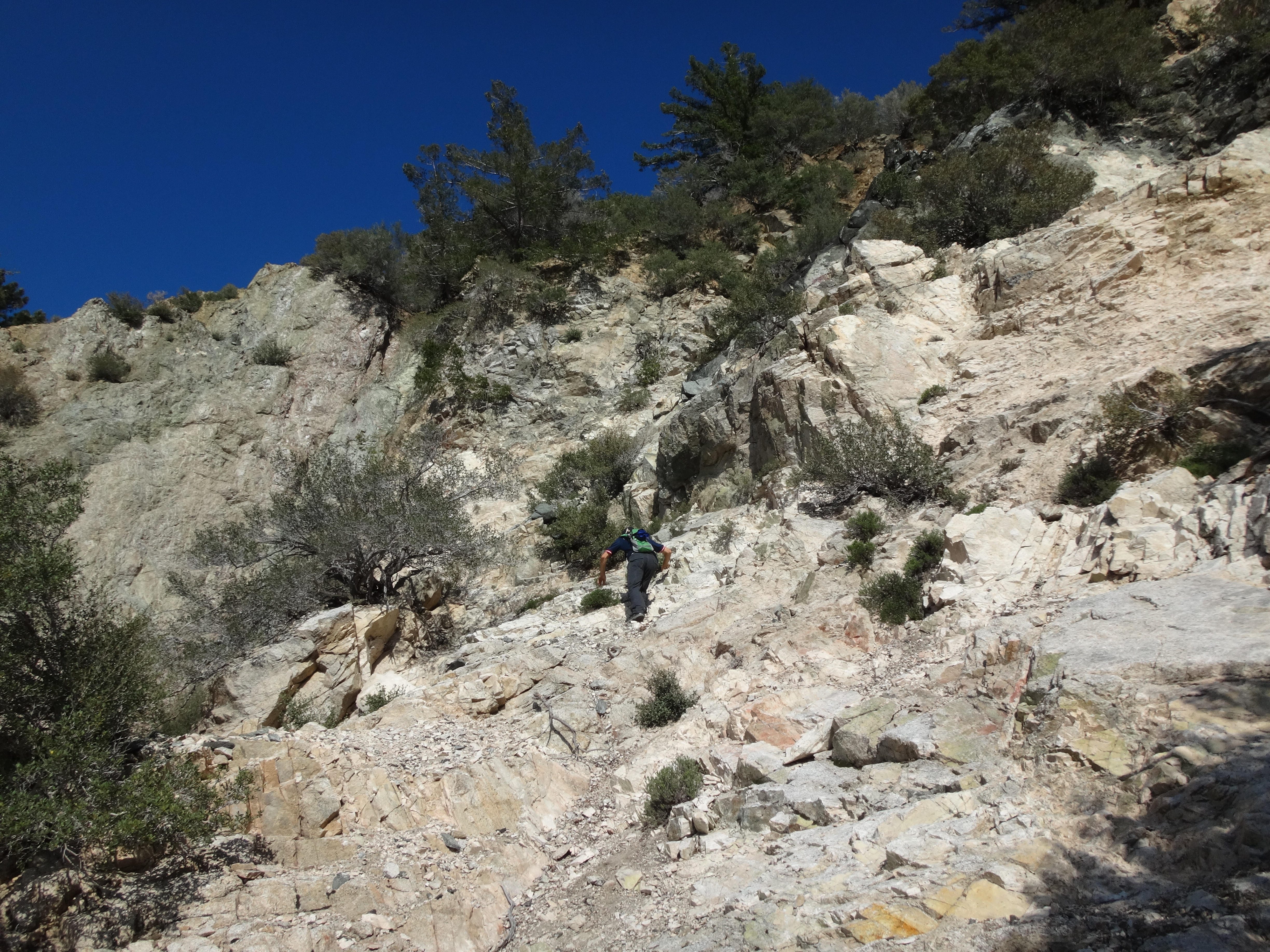
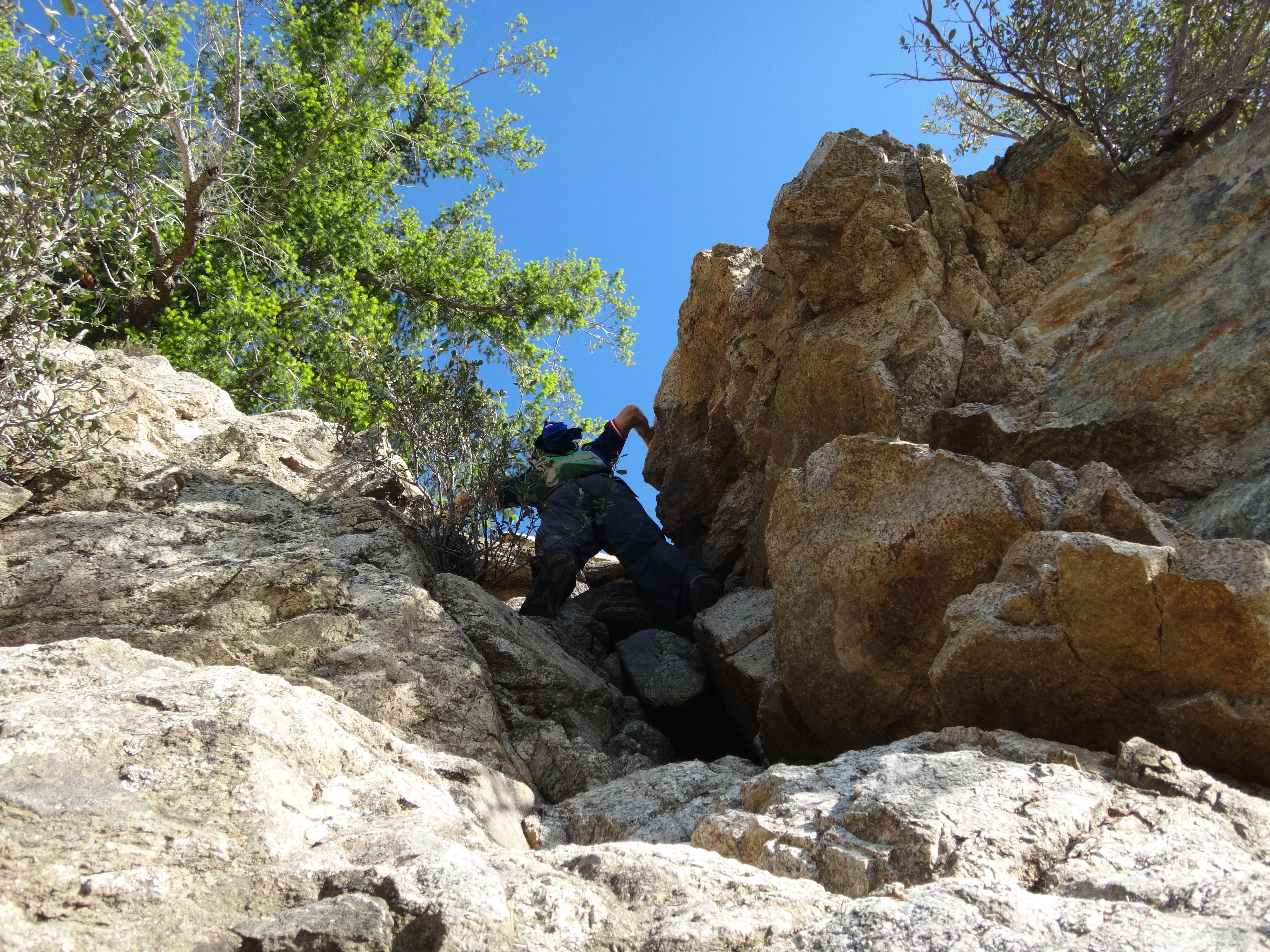
The options here are severely limited. We found only one safe spot to top out. The upper reaches felt like class 4 a couple times with mild to moderate exposure. Some of the rocks were crumbling, and the slopes were alternately loose and hard, making navigation and footing important issues.
After topping out among the trees, we found ourselves a little higher than the fire road, about one hundred feet south of the upper check dam that is immediately above the headwall. An easy scramble got us down in front of the dam, where we could peer over the cliff.
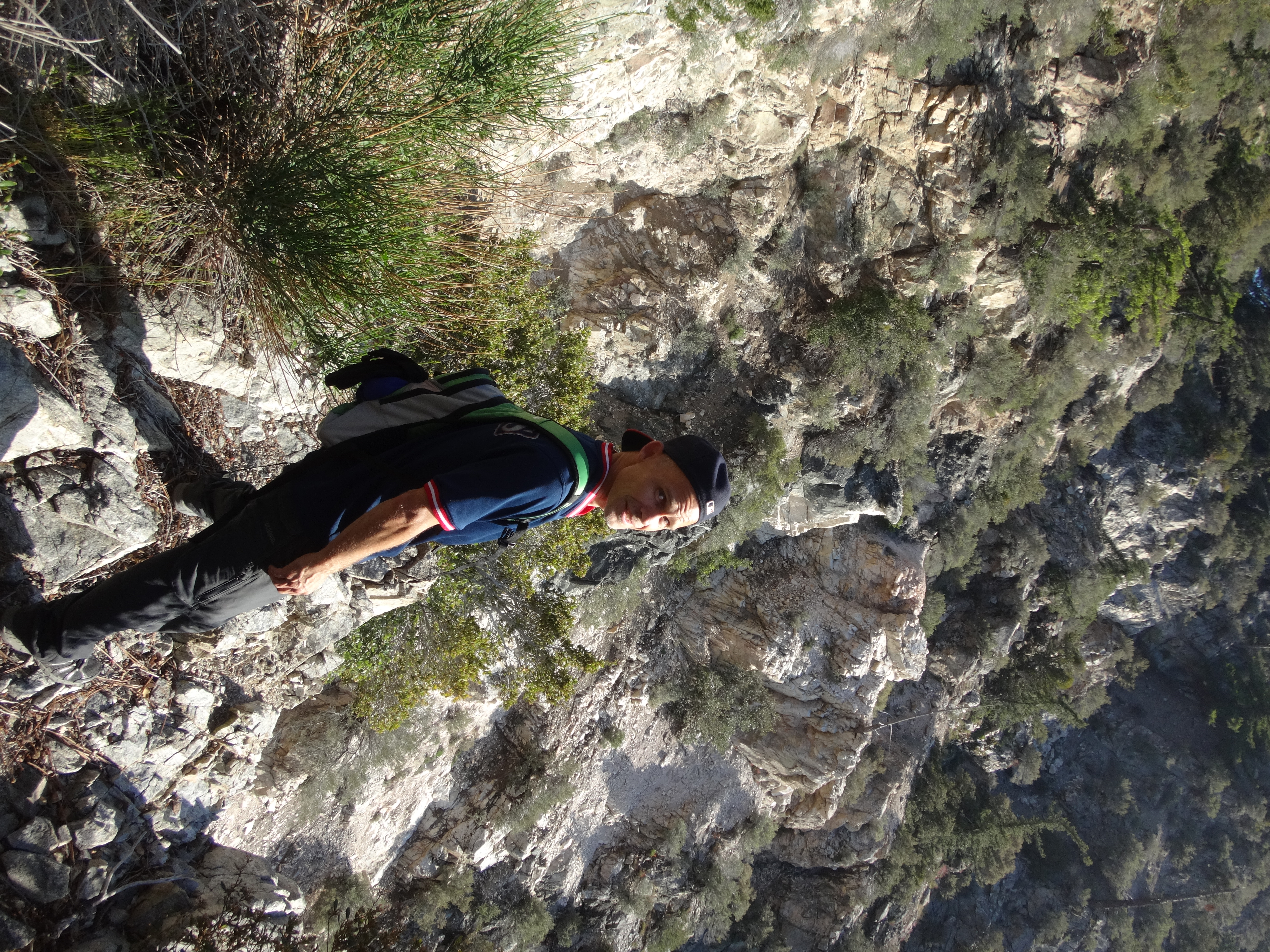
After the dam there is a split. The obscured route to the left is Cloudburst, and the clearer gully on the right is Supercloud. We went left to stay in Cloudburst.
(Over the log and through the tree)
Beyond the junction was a mostly clear and easy scramble through some boulders and light branches.
Some of the walls are beautifully vertical.
About an hour into the adventure we arrived at the headwall.
An increasingly steepening slab took us a little higher without much trouble beyond class 3.
The middle of the headwall is practically vertical with probably impossible holds on terribly loose and sandy cliffs. But we found a better way up on the right side of the gully after scrambling around a bit.
The options here are severely limited. We found only one safe spot to top out. The upper reaches felt like class 4 a couple times with mild to moderate exposure. Some of the rocks were crumbling, and the slopes were alternately loose and hard, making navigation and footing important issues.
After topping out among the trees, we found ourselves a little higher than the fire road, about one hundred feet south of the upper check dam that is immediately above the headwall. An easy scramble got us down in front of the dam, where we could peer over the cliff.