Hoyt Mountain Loop (from Clear Creek)
Posted: Sat Apr 02, 2016 1:16 pm
On Friday, after a failed scouting effort, I happened upon a trail at the entrance for the Clear Creek Outdoor Education Center. Curious, I decided this path would be my new adventure. It started by staircasing down into a rocky, flowing tributary for Clear Creek.
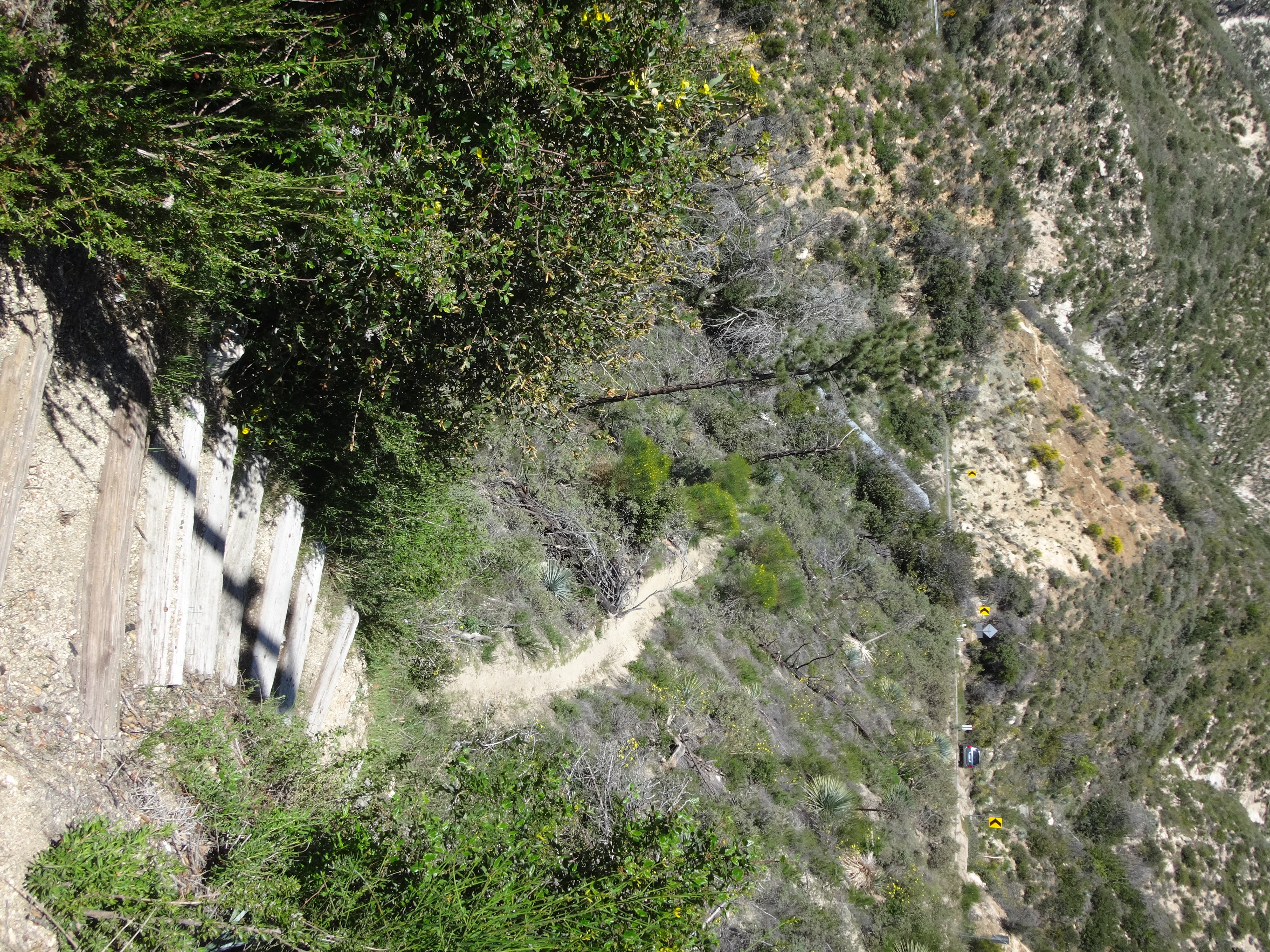
Then it soon emptied onto the Center's lower driveway. I sat on a roadside boulder and wondered what to do now. Suddenly a man drove up in a truck and explained where I was exactly. He didn't seem to mind that I was there, and he said I could go back up the trail or the road. So I walked up the road and found a connection to the stream in Clear Creek.
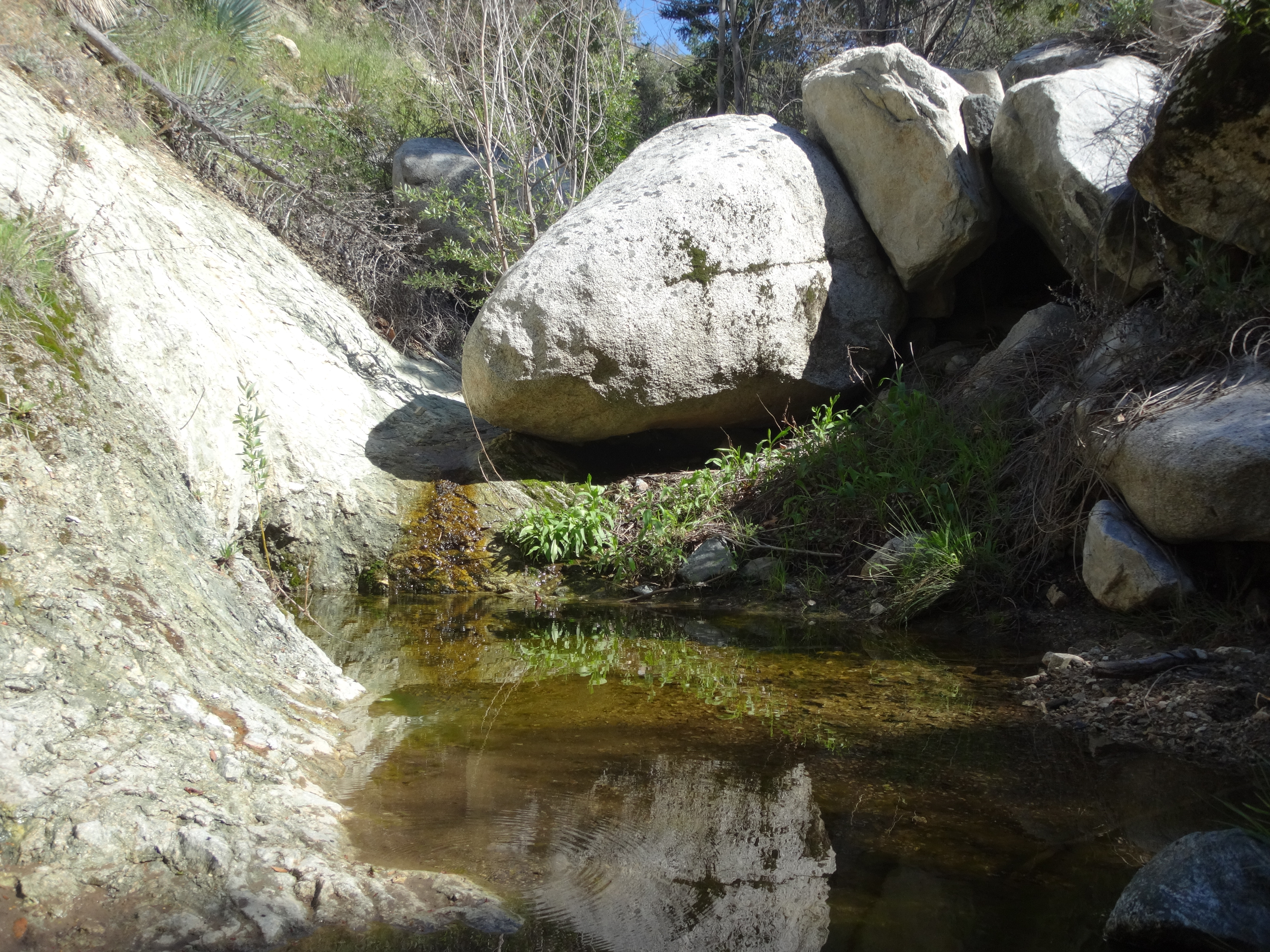
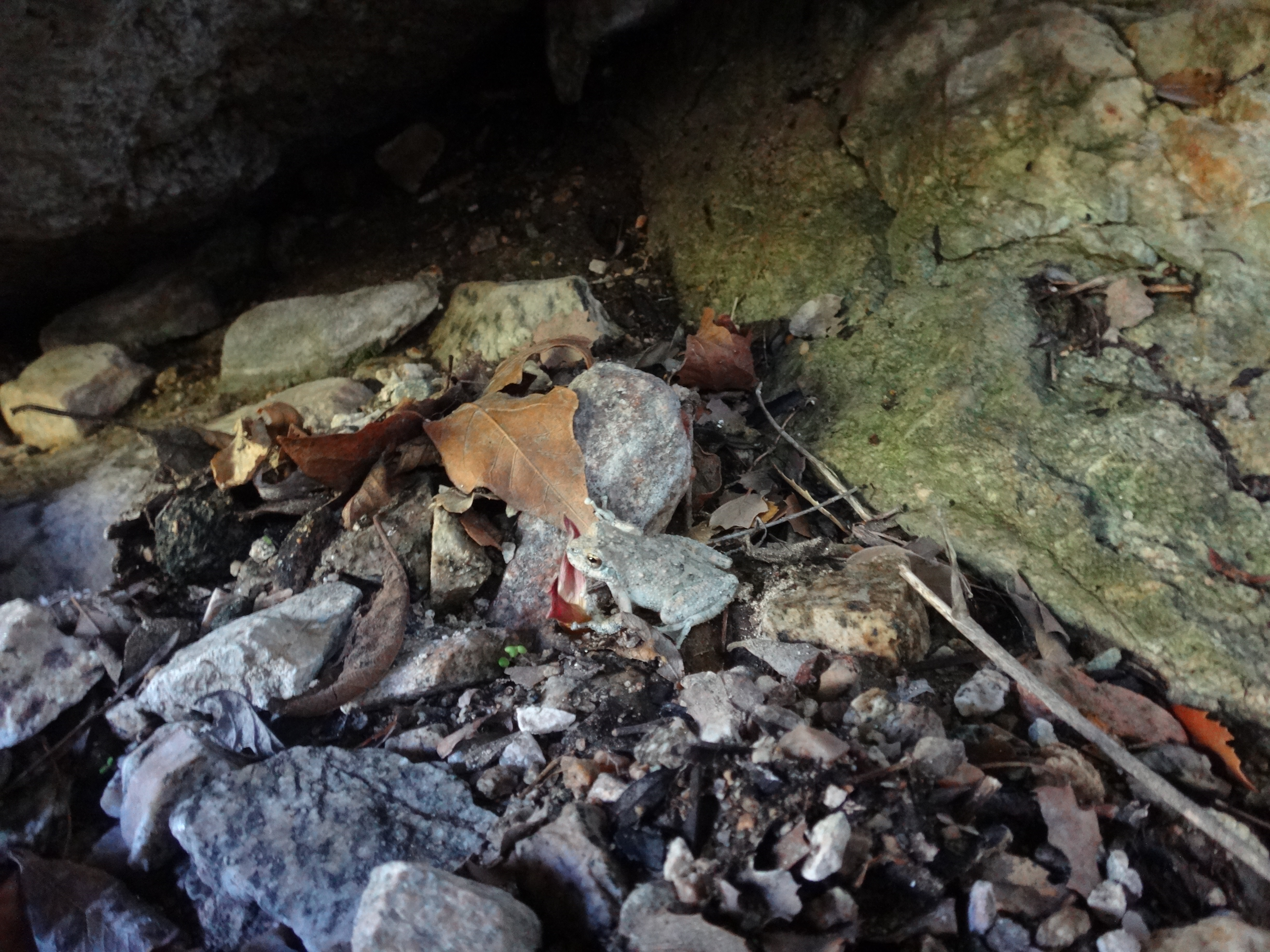
Next to the deep pool, I saw a little toad.
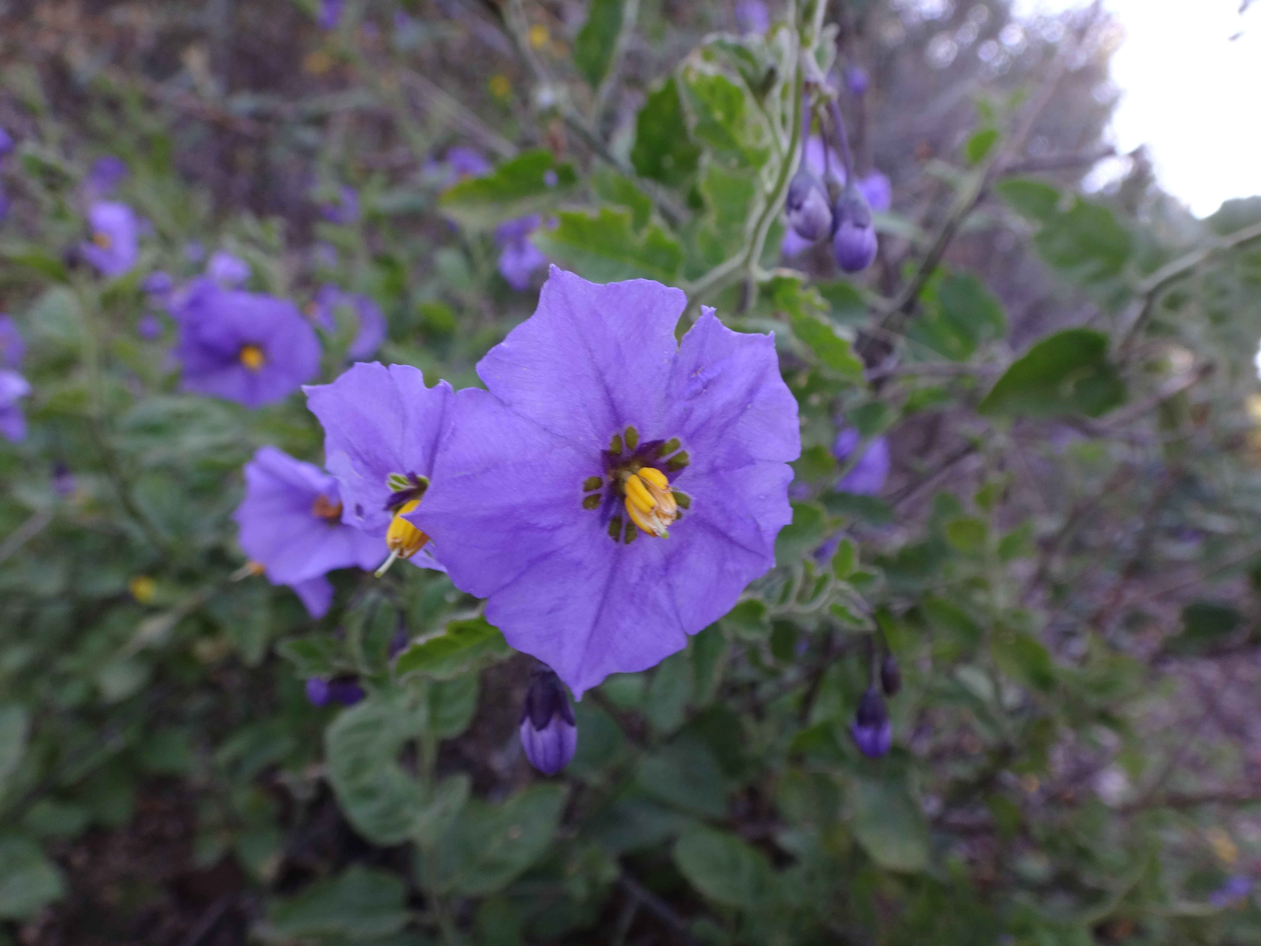
Not in any real hurry, I took a break in the shade beside the stream. Then I decided to go for Hoyt Mtn. The trail took off climbing and contouring westward. Many healthy flowers overhung the trail.
And the view of Josephine Peak was pretty sweet.
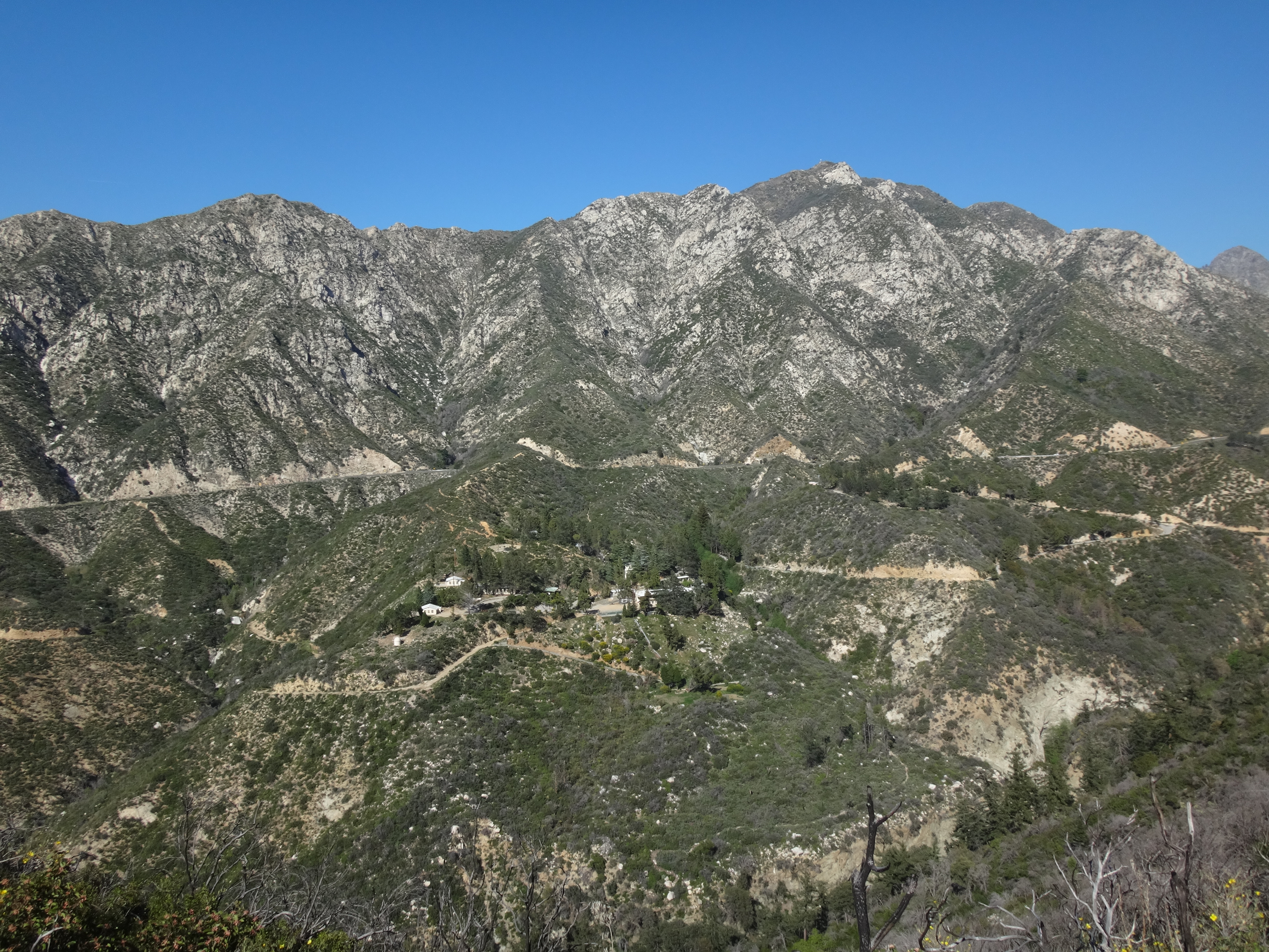
Eventually I reached the e-towers at the saddle between Hoyt and Peak 4253'.
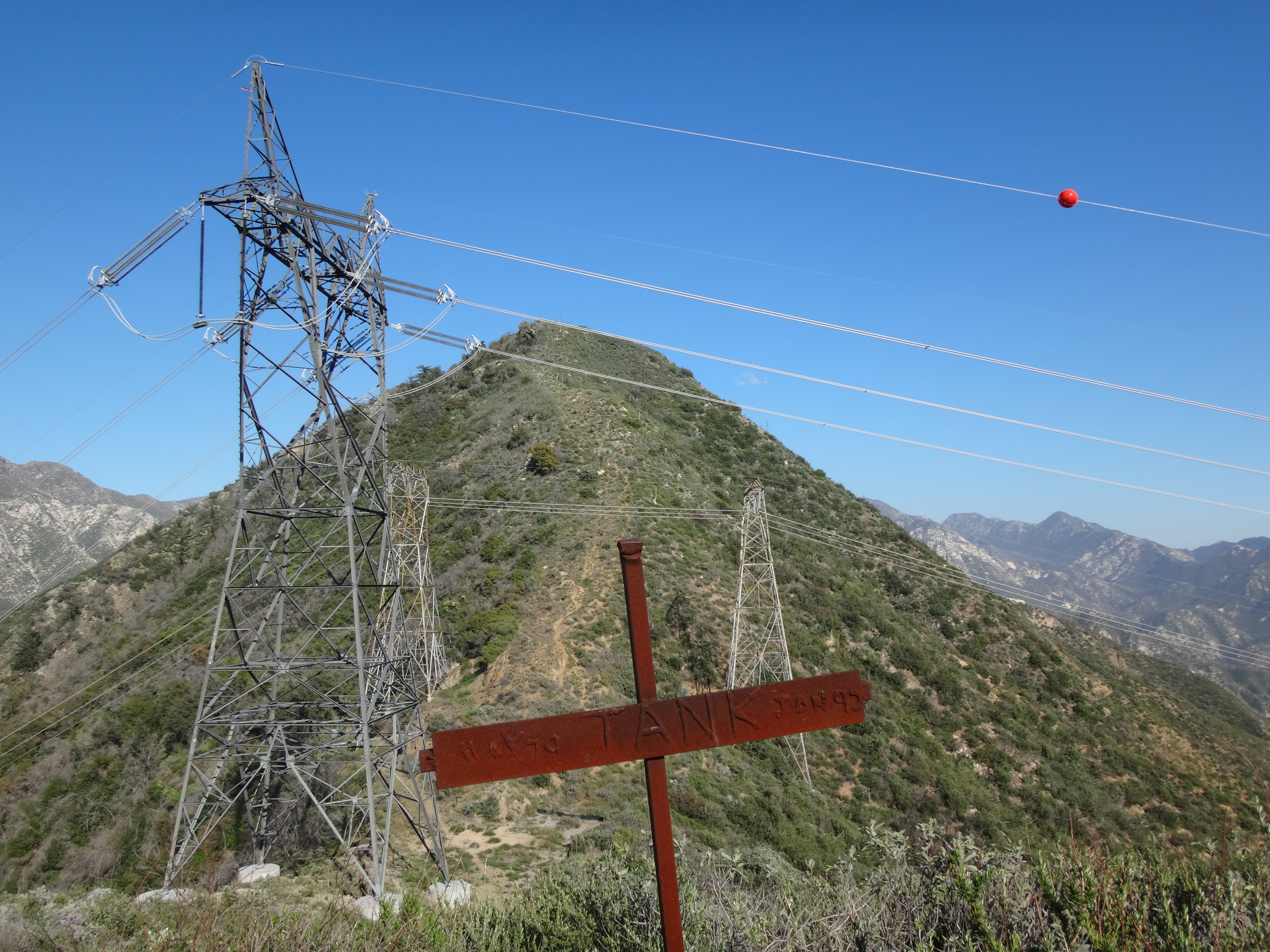
A twenty-four year old metal cross still stood at the saddle, memorializing "Tank," perhaps someone's dog, who died in 1992.
I left my pack at Tank's saddle and scrambled steeply up to 4253', which I might as well call Hoyt Junior. Unfortunately my camera battery died up there, so I only have one picture of the flat area around the summit.
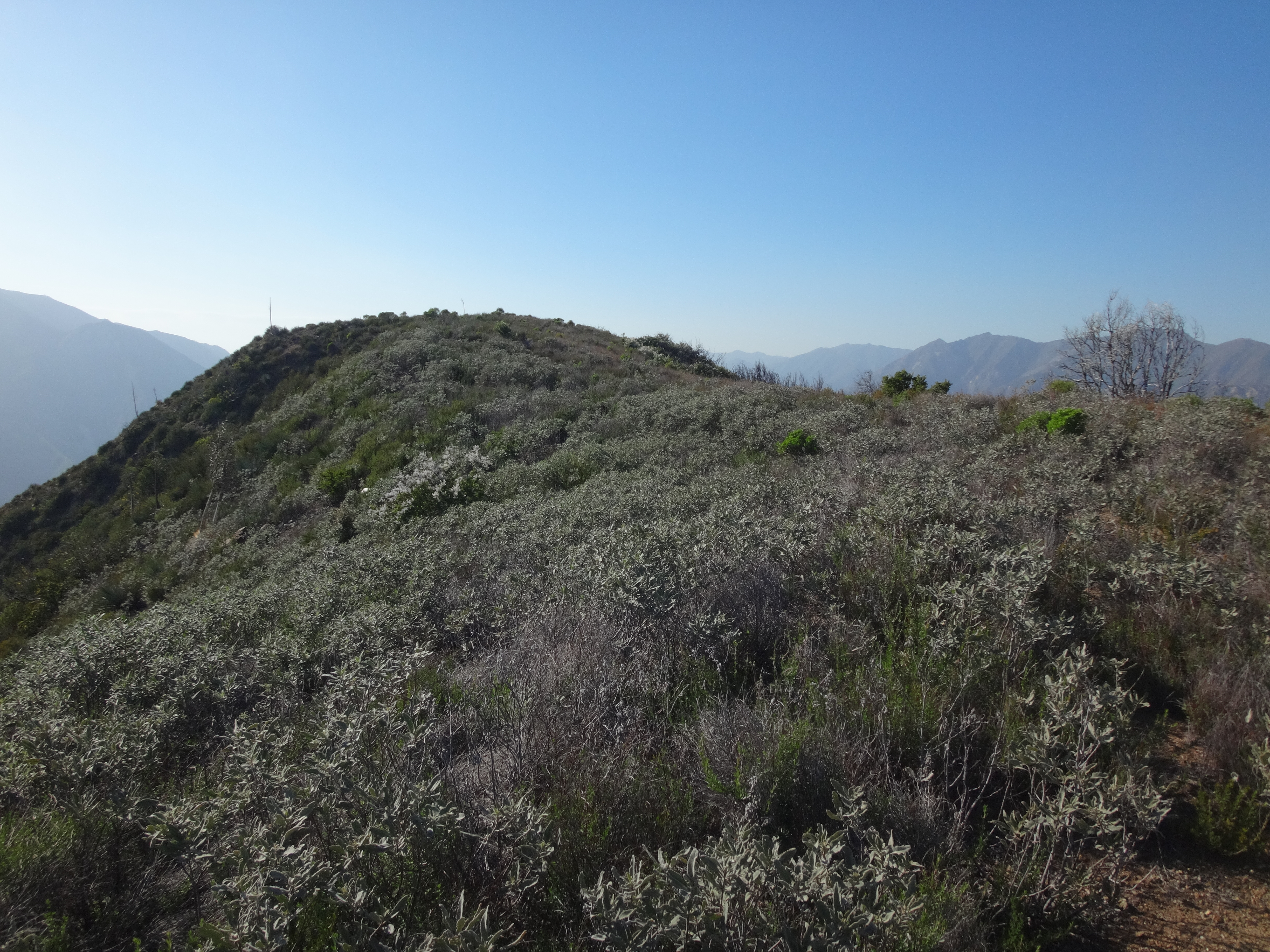
The highpoint of Hoyt Junior boasted a bunch of low brush, two upright metal posts, and a rusty food can, which I placed atop one of the posts. The sun was already low over Lukens, so I left quickly and returned to the saddle.
Further pictures would need to be taken with my smartphone, as I now began the traverse of Hoyt Mountain. Looking back I could see Junior and Lukens in the hazy sunlight.
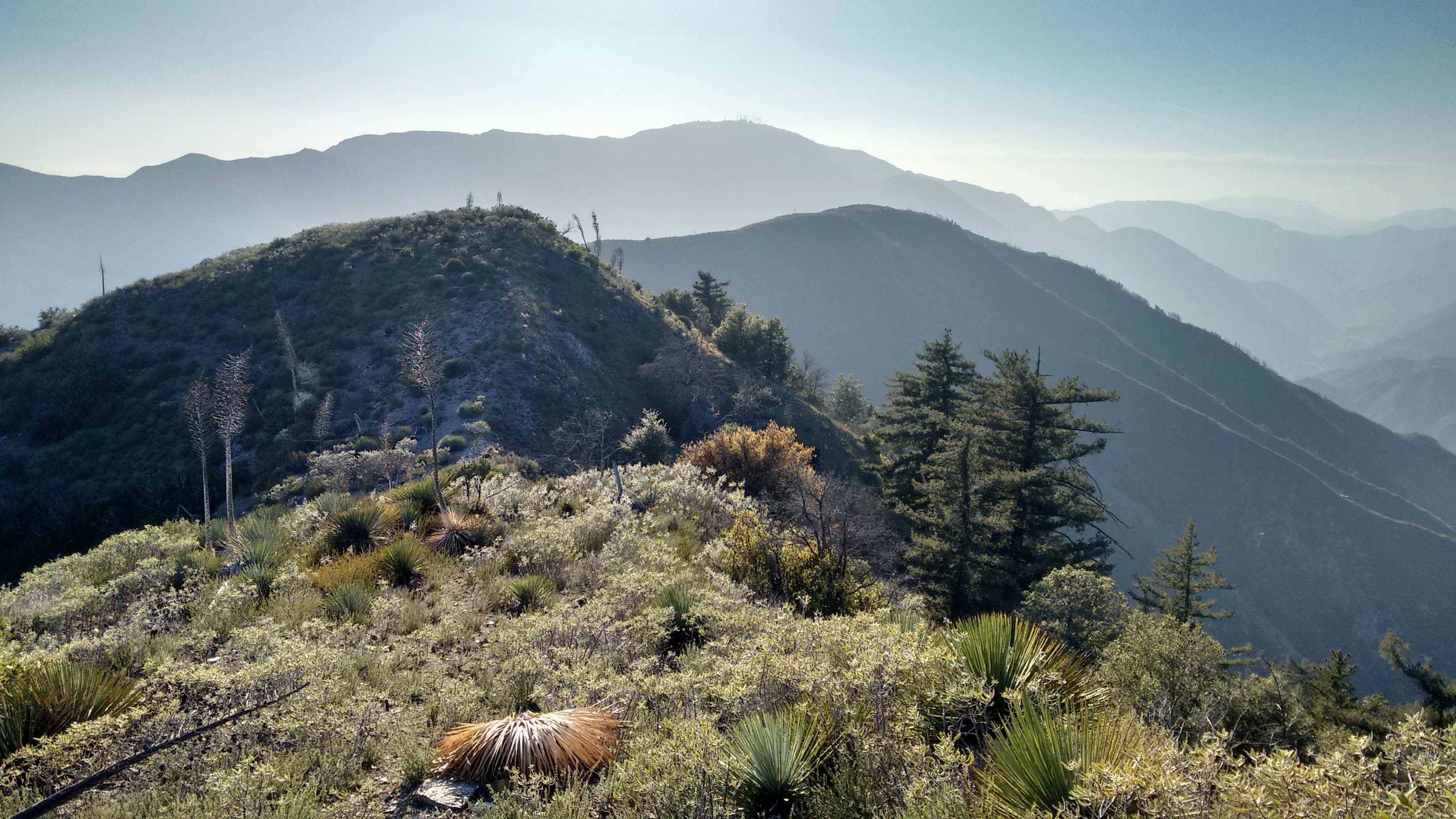
It didn't take long to mount the couple false bumps on Hoyt's west ridge, and then finally the true bump.
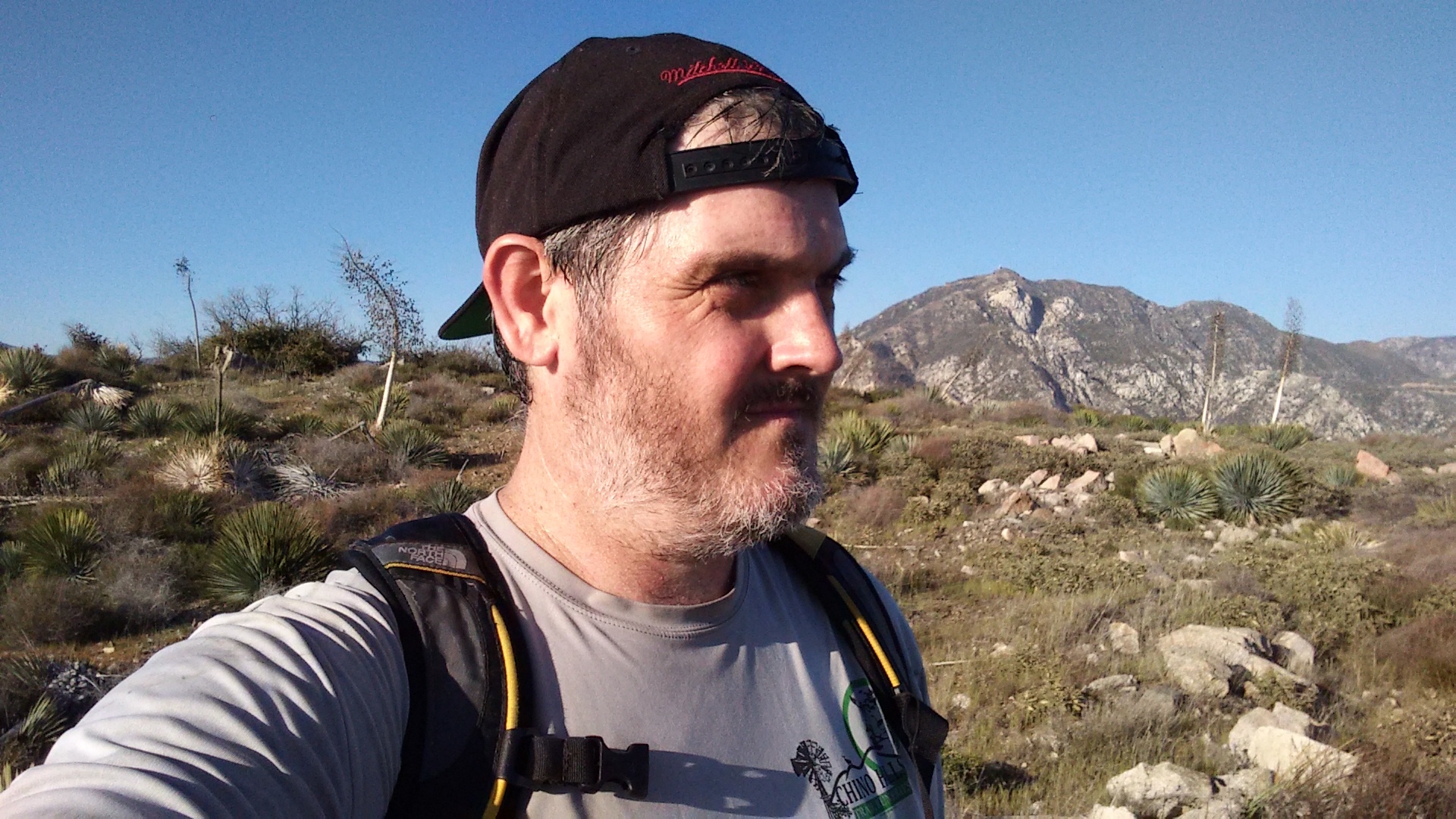
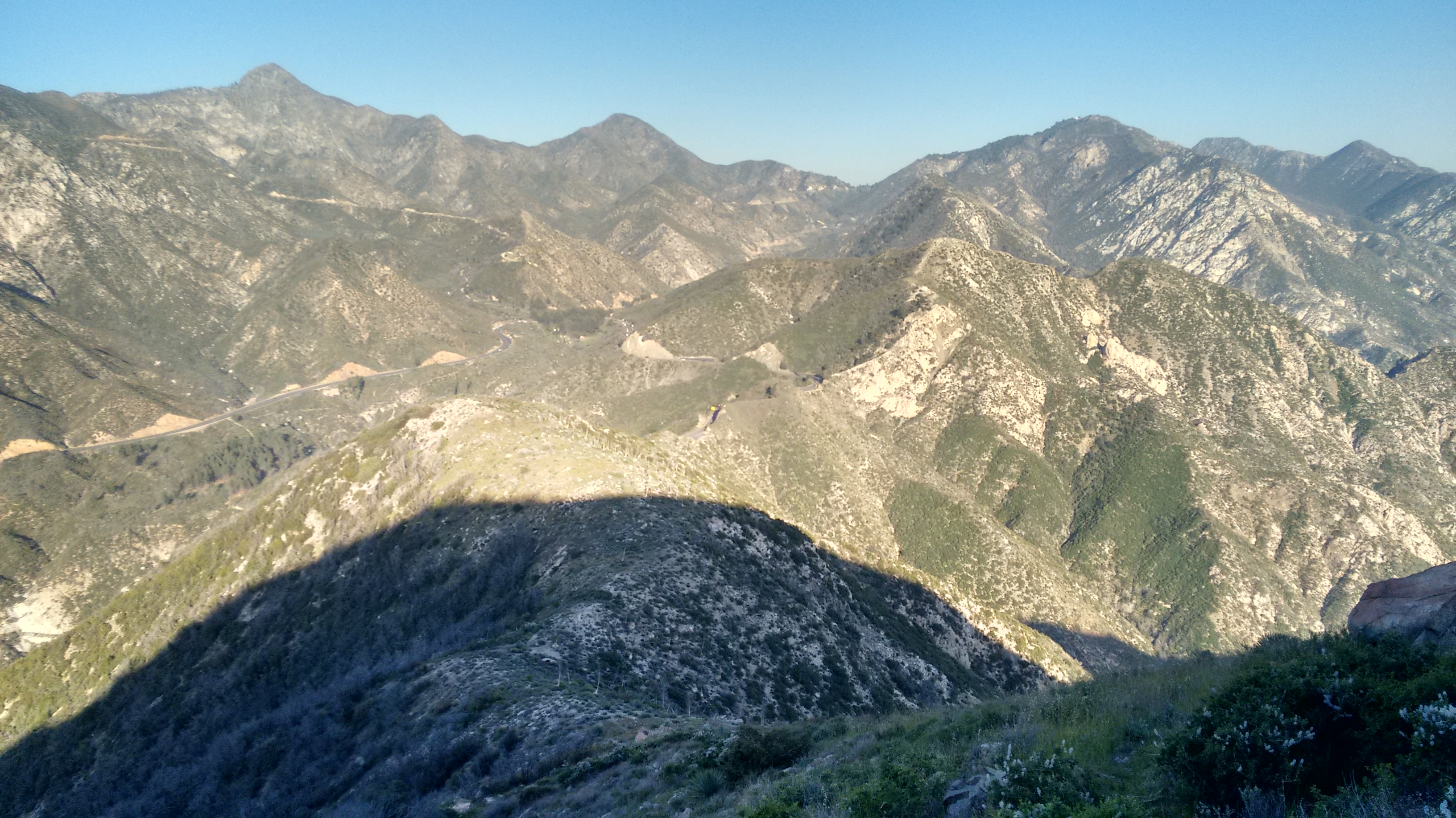
Sort of in a hurry now, I departed quickly after writing a paragraph of nonsense in the register. The east ridge to George's Gap started off pretty mellow like, with a nice use path.
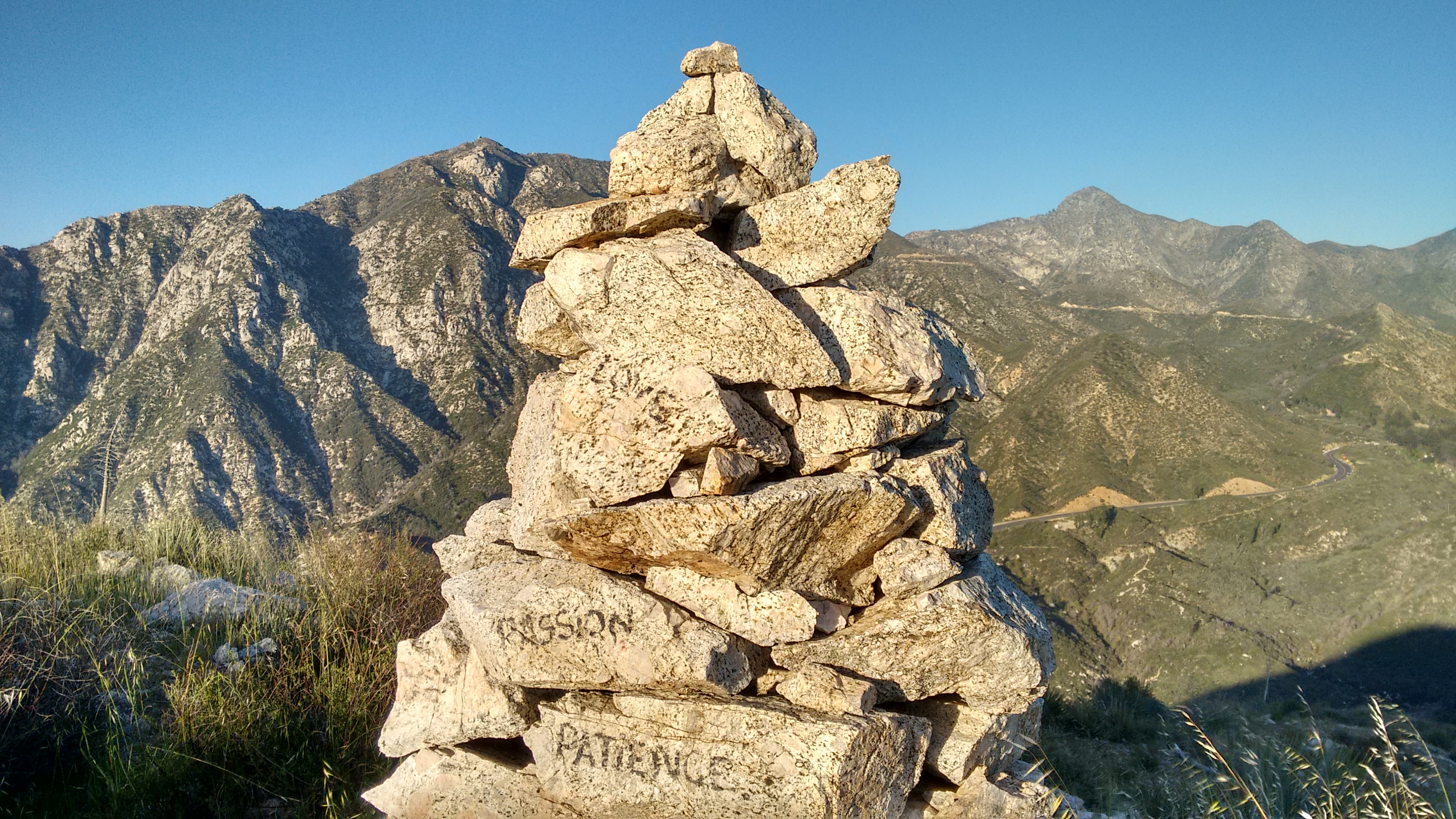
There were some tower cairns with words on them.
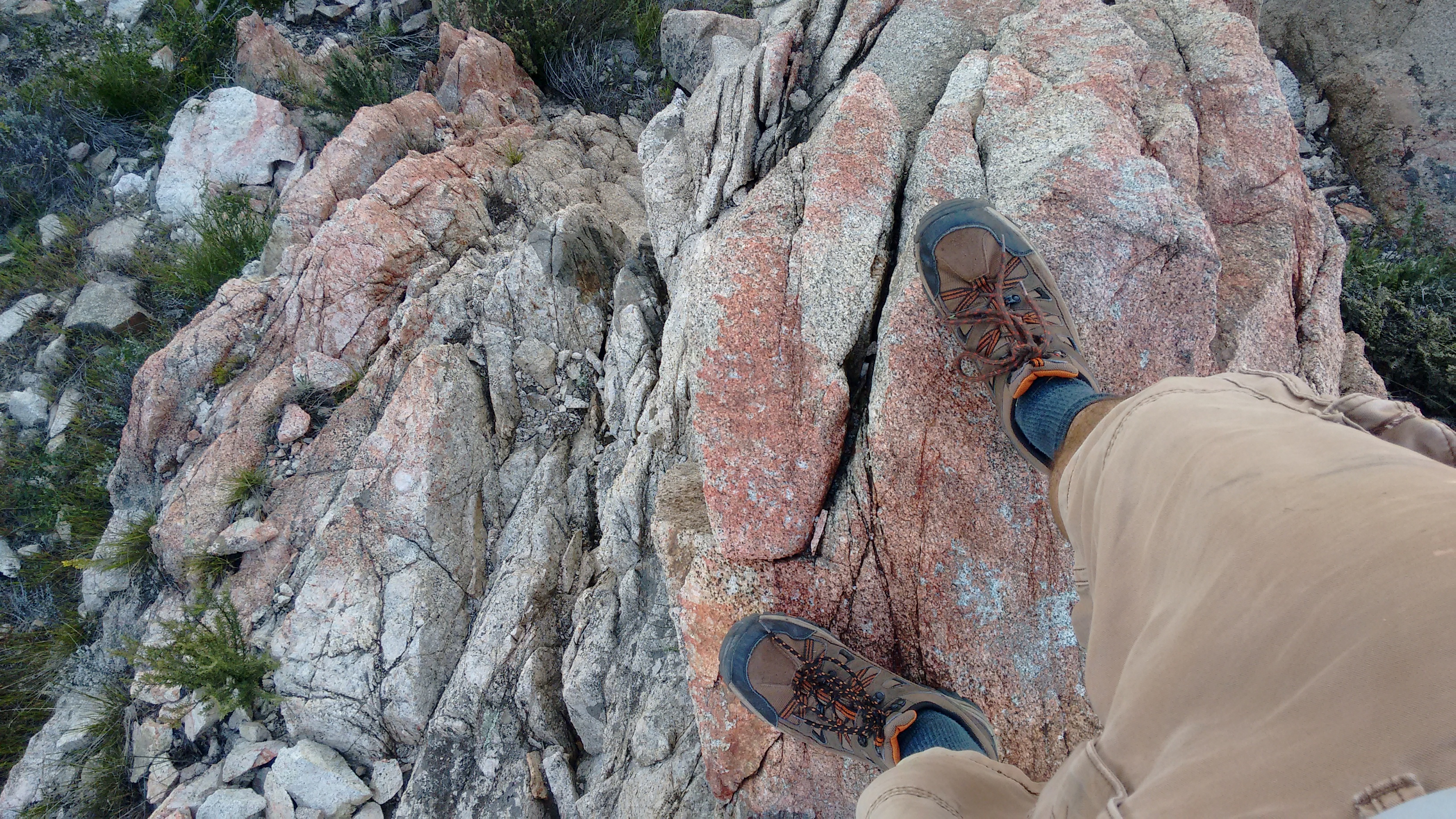
And some pink rocks.
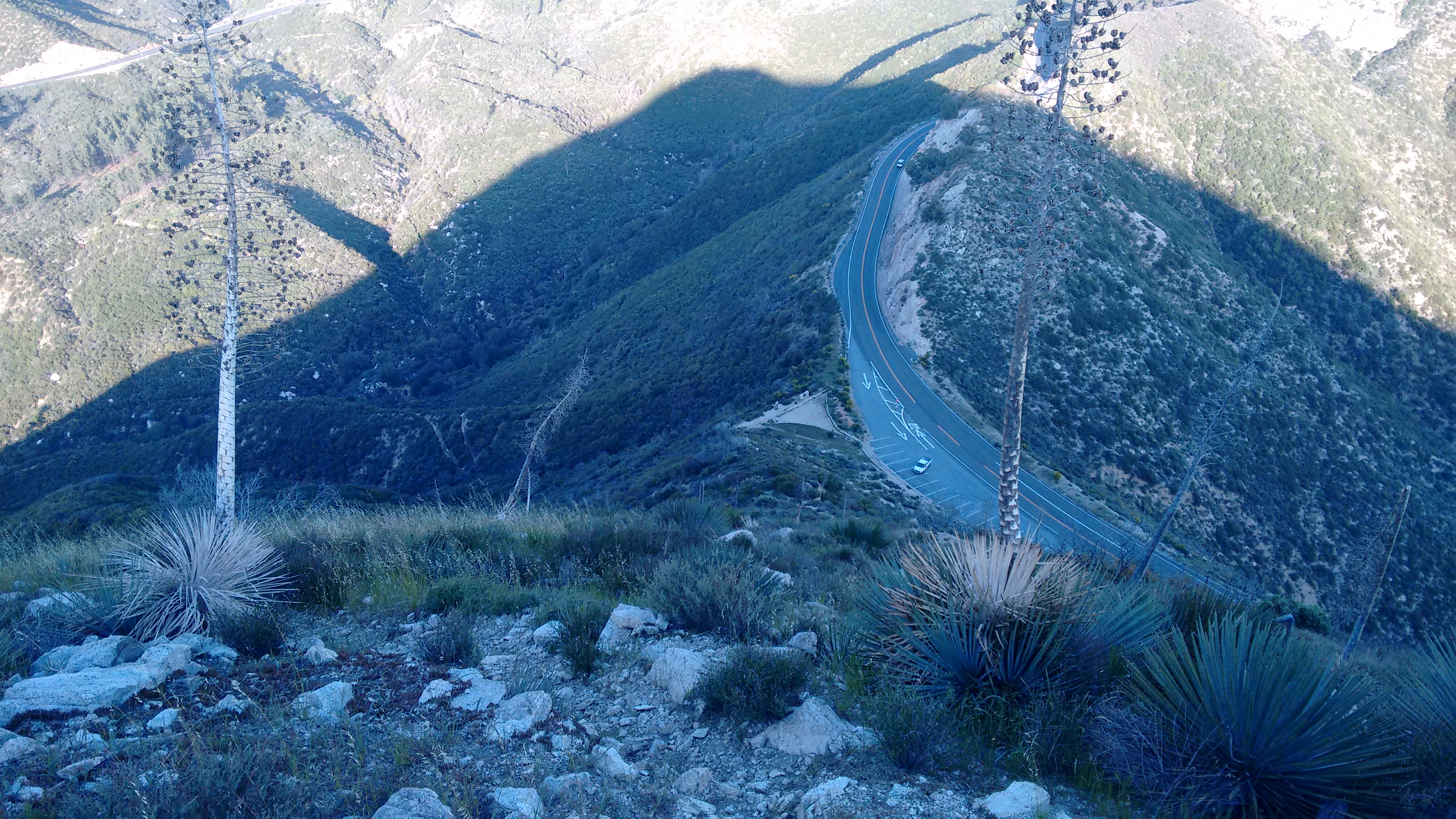
The final stretch dropped sharply to George's Gap. I had to use my hands a few times on class 2 terrain.
From the Gap I took the trail back down to Clear Creek, where a sign indicated a name for this trail.
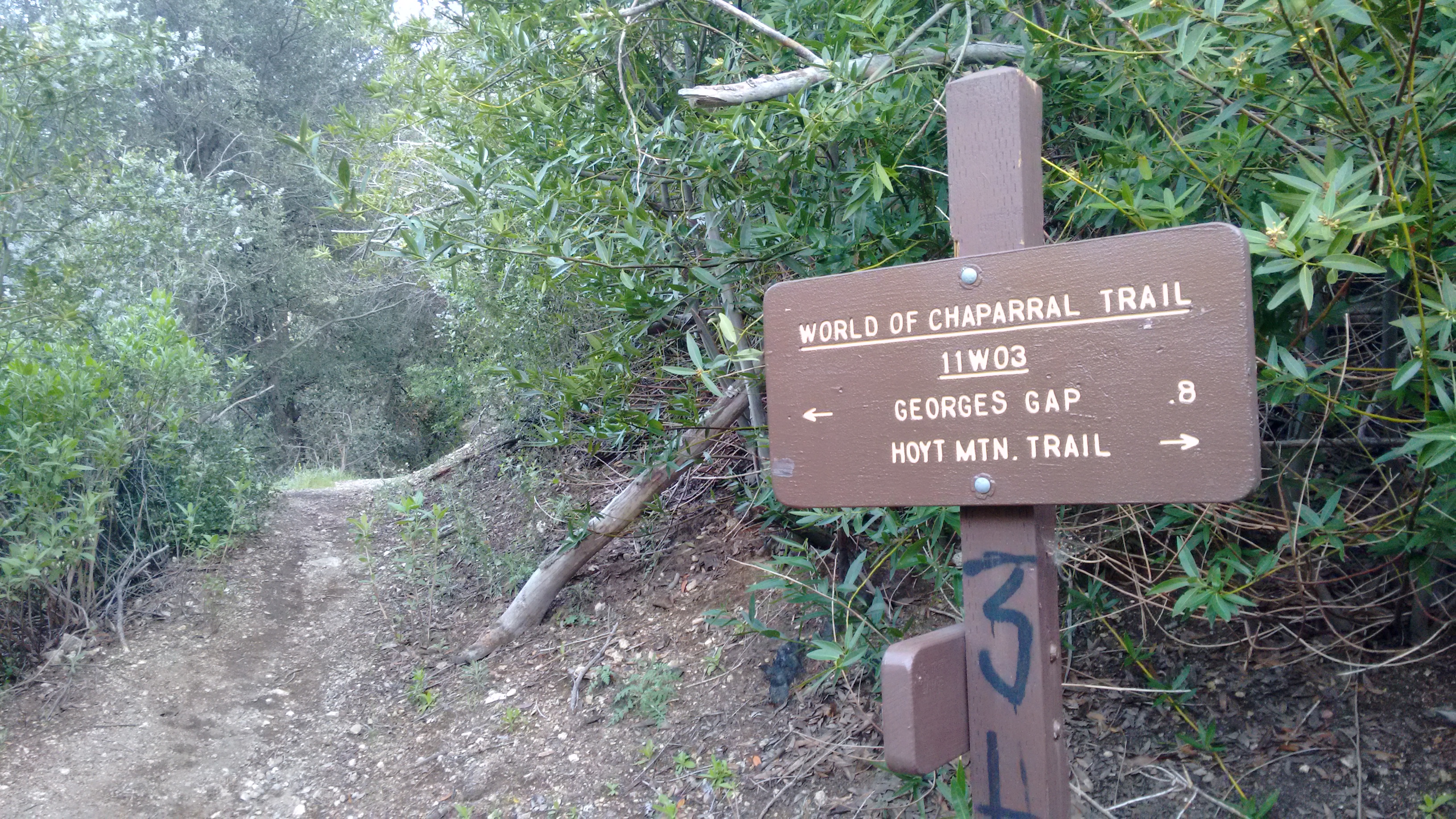
The World of Chaparral Trail was in good shape, though periodic poison oak tried to caress my bare shins. Stay alert for the evil vine!
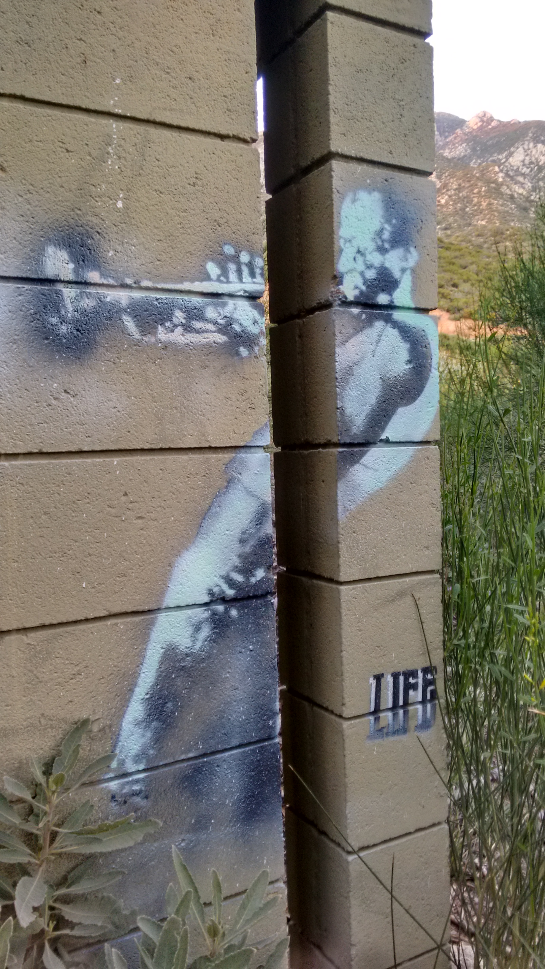
The final leg to The Pines picnic area was bliss. And at the abandoned restrooms a painting of Miles Davis adorned the outer walls.
Then it soon emptied onto the Center's lower driveway. I sat on a roadside boulder and wondered what to do now. Suddenly a man drove up in a truck and explained where I was exactly. He didn't seem to mind that I was there, and he said I could go back up the trail or the road. So I walked up the road and found a connection to the stream in Clear Creek.
Next to the deep pool, I saw a little toad.
Not in any real hurry, I took a break in the shade beside the stream. Then I decided to go for Hoyt Mtn. The trail took off climbing and contouring westward. Many healthy flowers overhung the trail.
And the view of Josephine Peak was pretty sweet.
Eventually I reached the e-towers at the saddle between Hoyt and Peak 4253'.
A twenty-four year old metal cross still stood at the saddle, memorializing "Tank," perhaps someone's dog, who died in 1992.
I left my pack at Tank's saddle and scrambled steeply up to 4253', which I might as well call Hoyt Junior. Unfortunately my camera battery died up there, so I only have one picture of the flat area around the summit.
The highpoint of Hoyt Junior boasted a bunch of low brush, two upright metal posts, and a rusty food can, which I placed atop one of the posts. The sun was already low over Lukens, so I left quickly and returned to the saddle.
Further pictures would need to be taken with my smartphone, as I now began the traverse of Hoyt Mountain. Looking back I could see Junior and Lukens in the hazy sunlight.

It didn't take long to mount the couple false bumps on Hoyt's west ridge, and then finally the true bump.

Sort of in a hurry now, I departed quickly after writing a paragraph of nonsense in the register. The east ridge to George's Gap started off pretty mellow like, with a nice use path.

There were some tower cairns with words on them.

And some pink rocks.

The final stretch dropped sharply to George's Gap. I had to use my hands a few times on class 2 terrain.

From the Gap I took the trail back down to Clear Creek, where a sign indicated a name for this trail.

The World of Chaparral Trail was in good shape, though periodic poison oak tried to caress my bare shins. Stay alert for the evil vine!
The final leg to The Pines picnic area was bliss. And at the abandoned restrooms a painting of Miles Davis adorned the outer walls.
