Ralston Peak
Posted: Wed Oct 28, 2015 9:32 pm
Ralston Peak is not well known and receives few visitors. On the current USGS topo it's labelled "4559", immediately east of the Lone Pine Canyon/Swarthout Canyon road intersection, near Cajon Junction along the I-15. On other maps, however, it's still labelled Ralston Peak.
After skimming this SummitPoster's trip report, Cecelia and I shot out there early Sunday morning, hoping to be done before the NFL started on TV.
We ended up taking a different approach than the SummitPoster. We started closer to the PCT crossing at Swarthout Canyon Road.
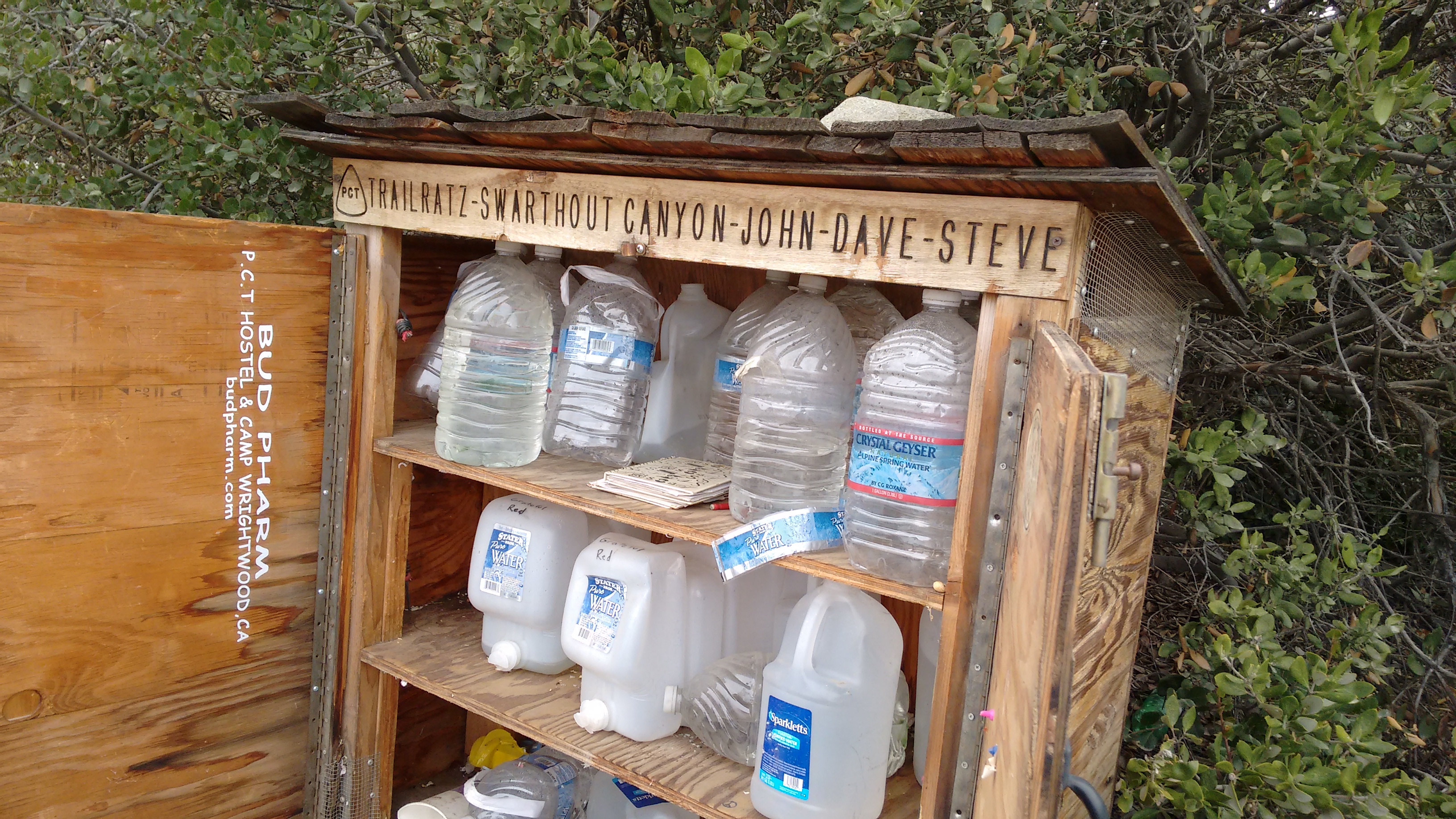
There is a water stash at this location. Initially we didn't realize the trail was only 100 feet away from the car, so we zigzagged northward through the low brush instead. But you could actually walk the PCT trail to the base of our approach ridge, which was a smallish thing between two larger ridges and two small gullies.
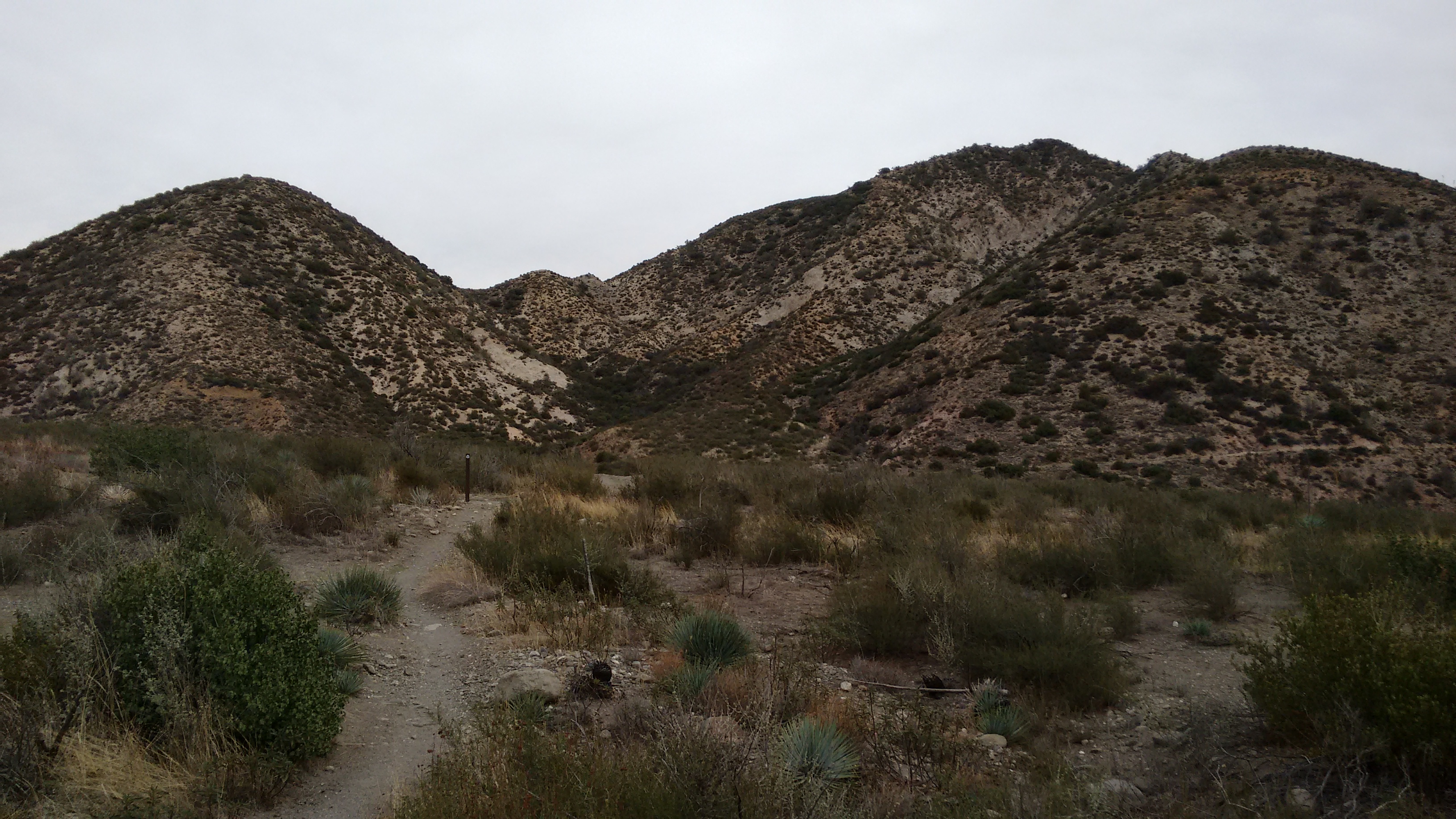
The ridge became very steep near the top, and we slipped around a bit on rock covered in a thin layer of loose sand. We found a short section of bare rock and used it to climb up part of the slope.
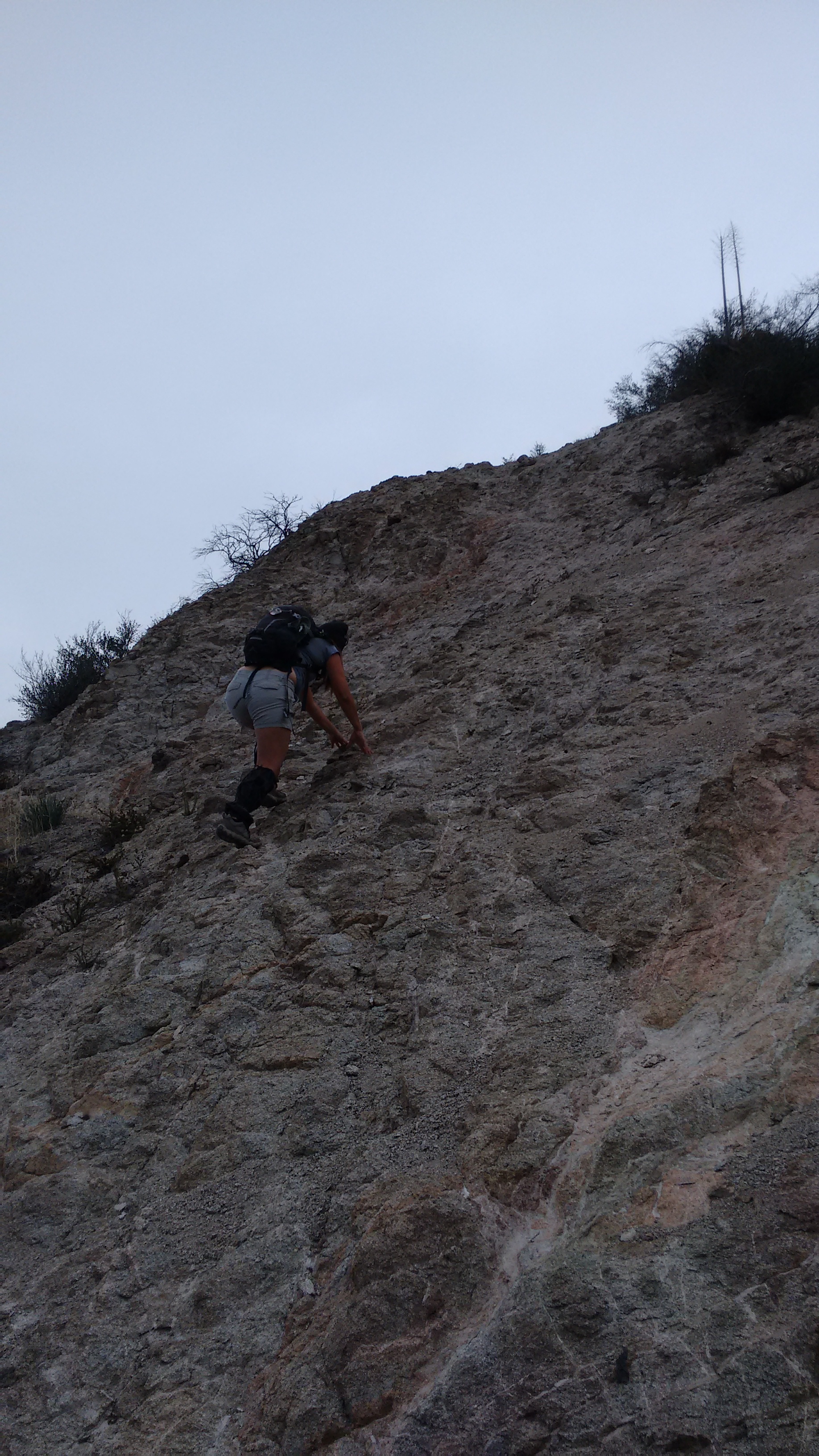
Overall it was okay and we soon reached the main ridge leading to Ralston.
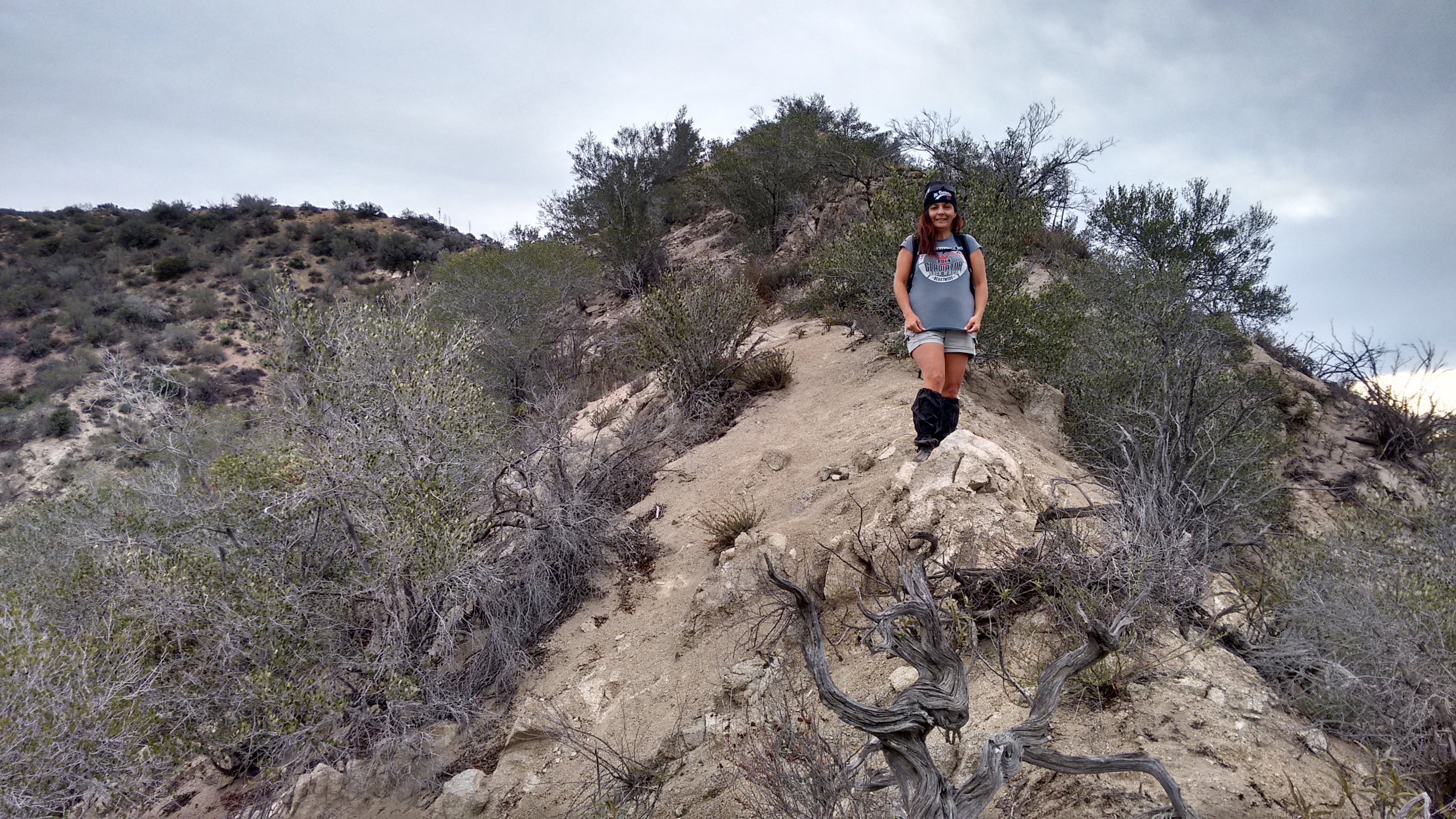
Here we looked back and realized that we should have taken the PCT trail to the base of our spur ridge.
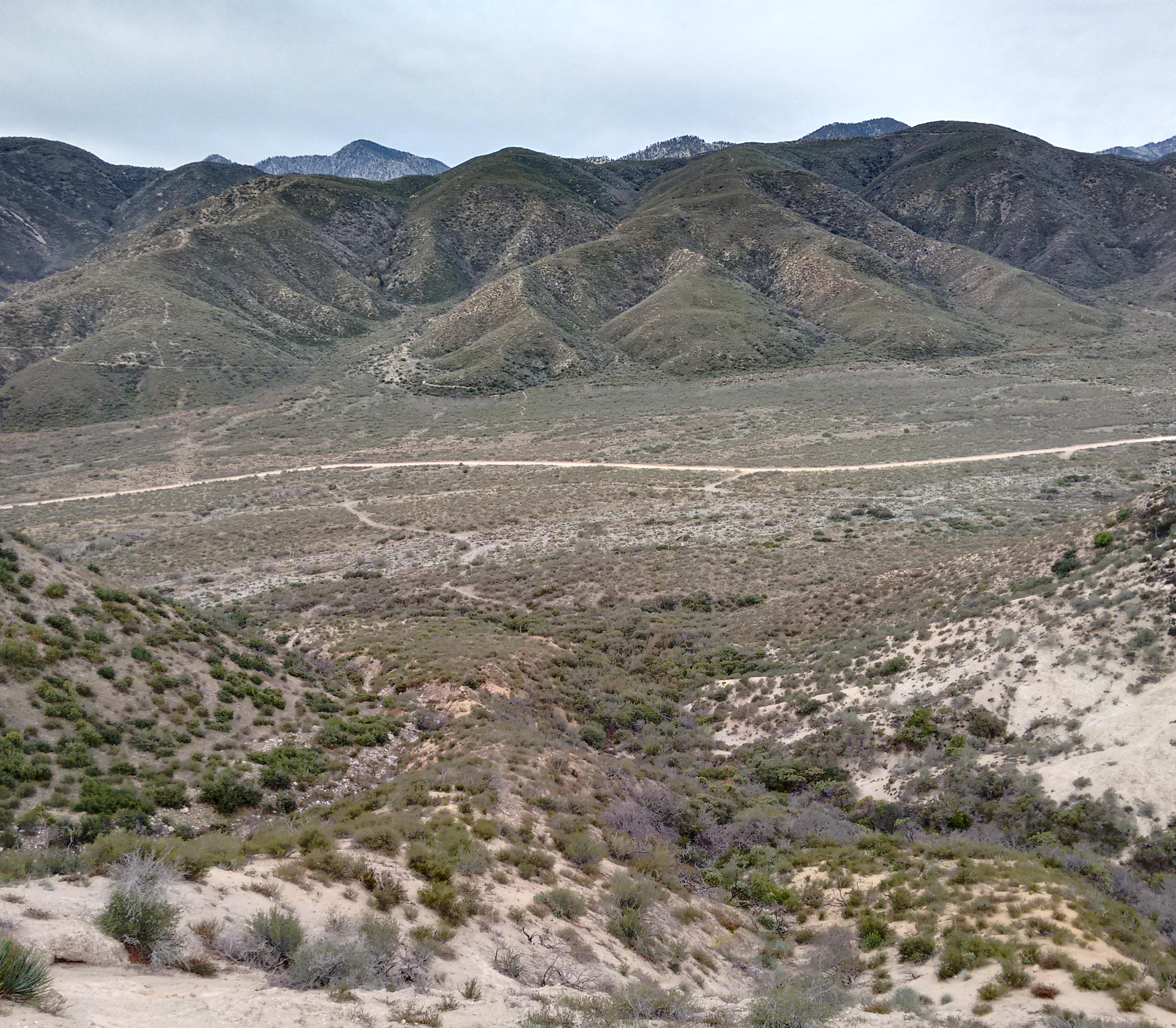
The main ridge is pretty short and easy. Heading east we passed one false bump with a post on it, and then could clearly see the peak ahead.
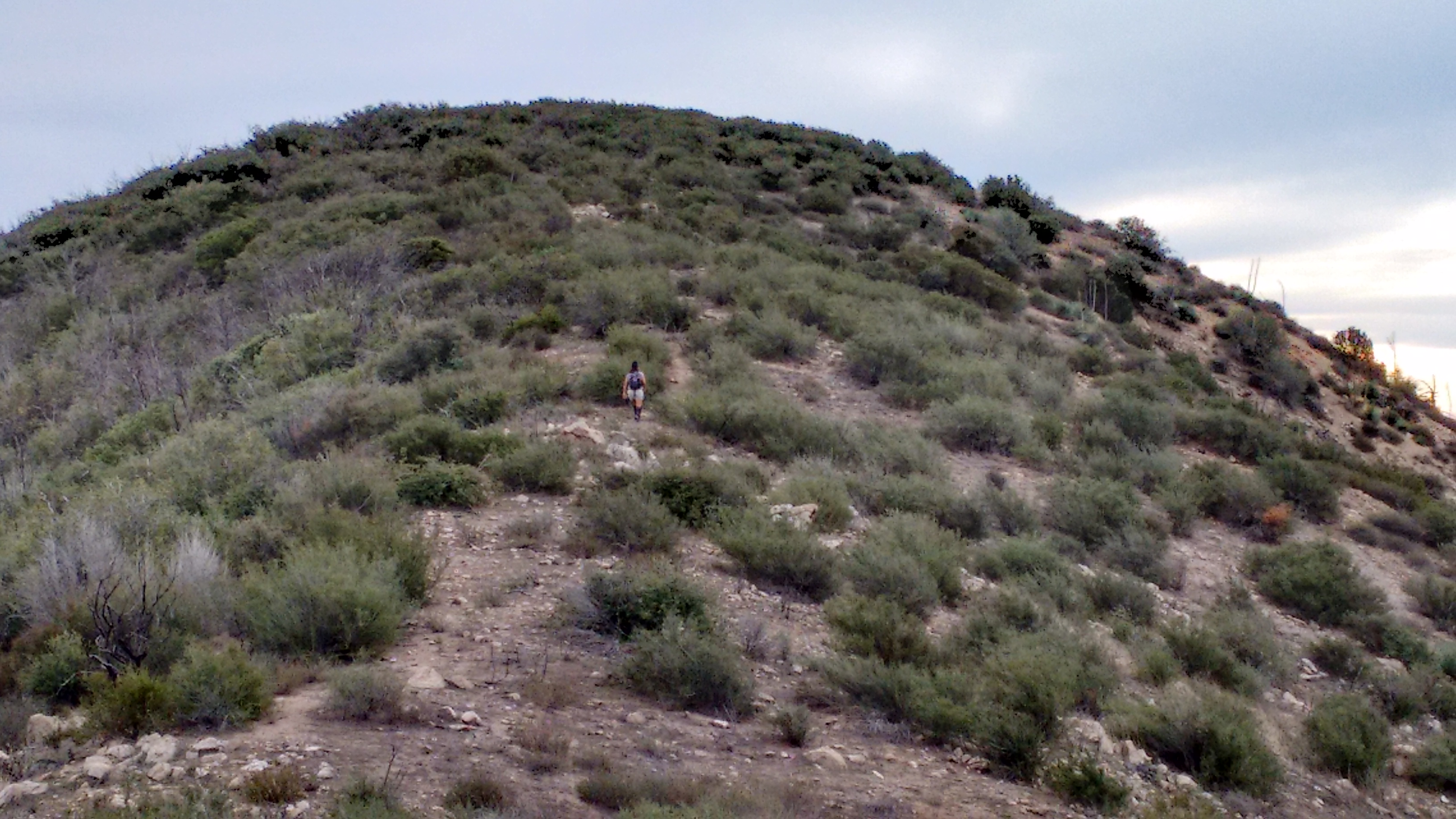
The summit had brush on it, but it was wide and offered a few good clearings where people could sit down and enjoy the views of the Mormon Rocks and Cajon Pass area.

The peak had its own metal post, and nearby two register cans sat empty.
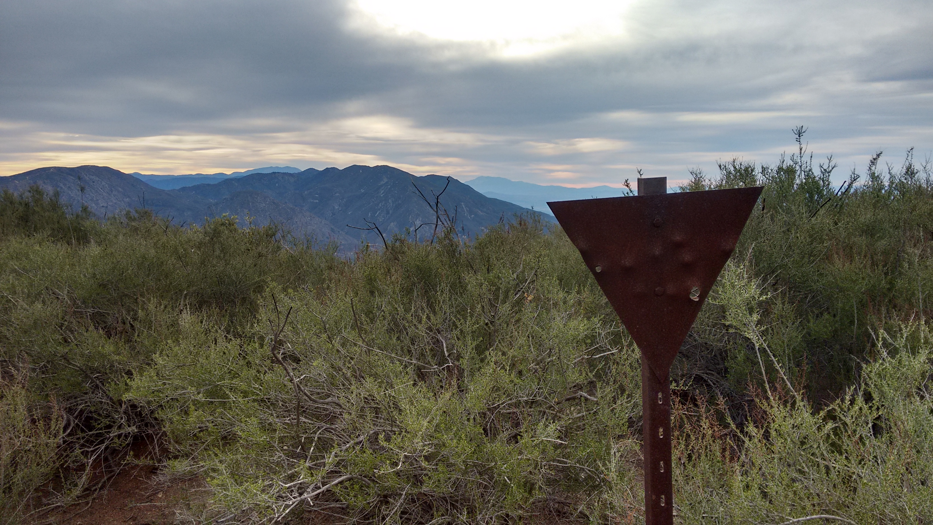
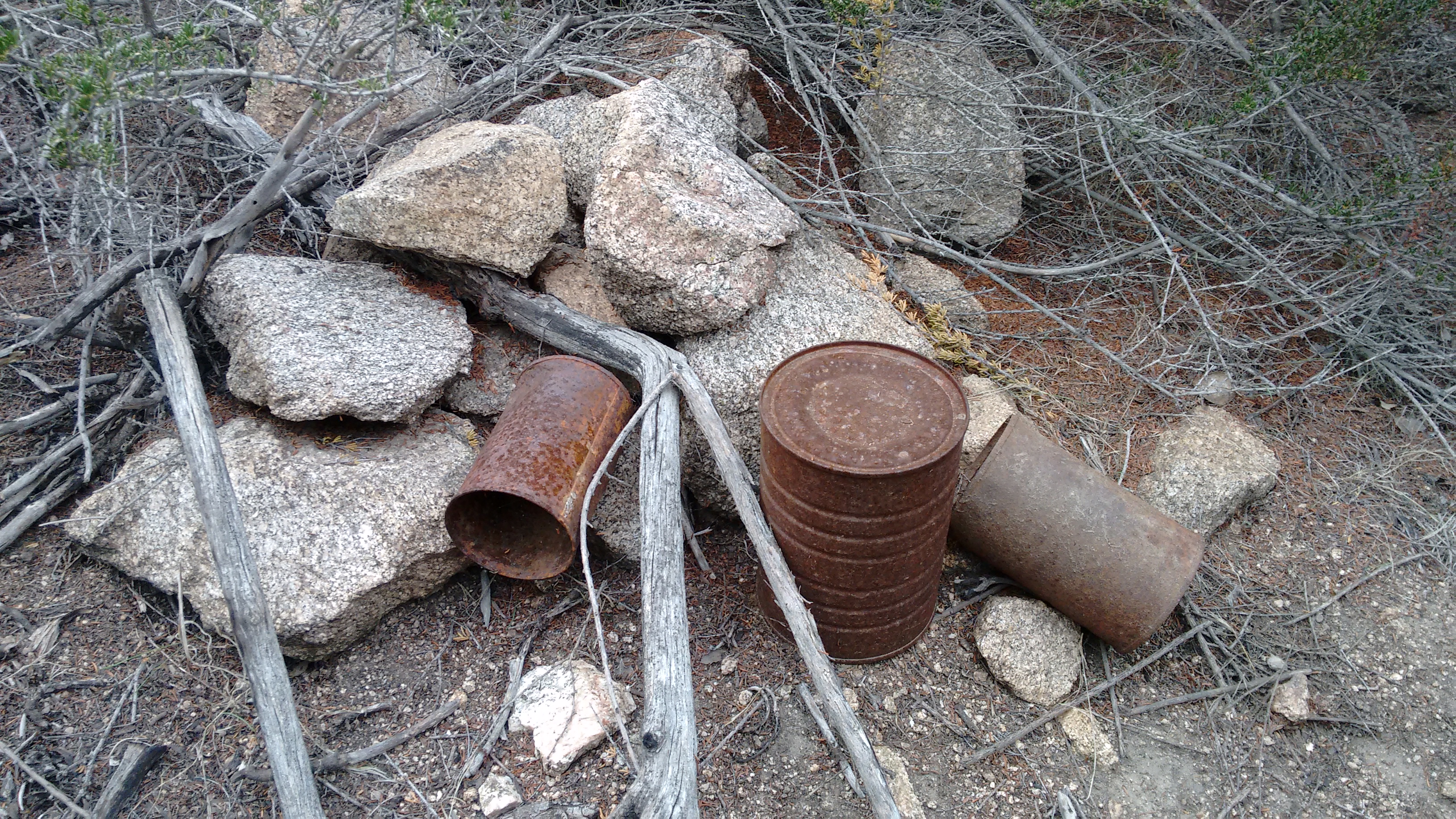
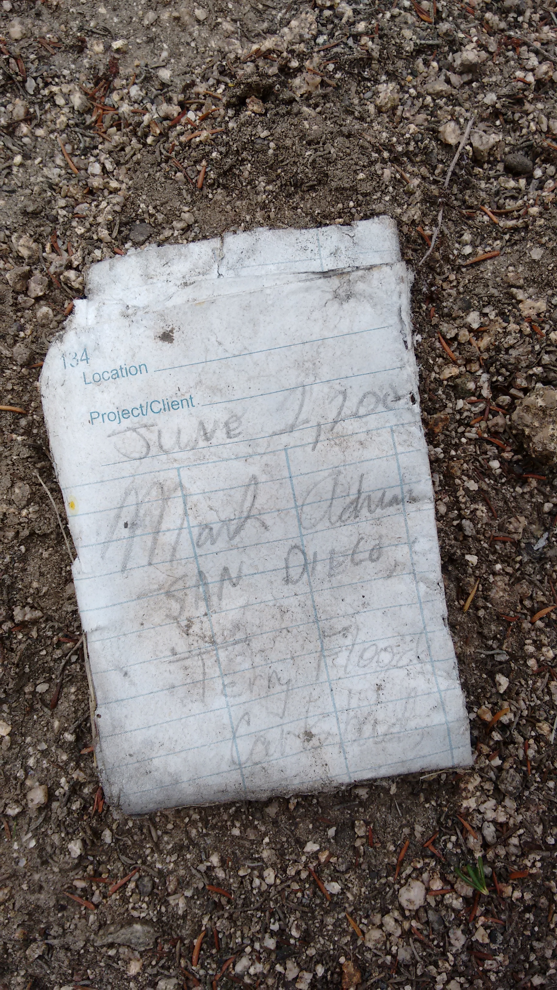
Nearby I found an old scrap of paper with two names on it: Mark Adrian from San Diego and Terry Flood of Carlsbad. I assumed that the weathered paper belonged in one of the register cans, so that's where it resides now.
While wandering around and being curious, we also happened upon a hidden geocache.
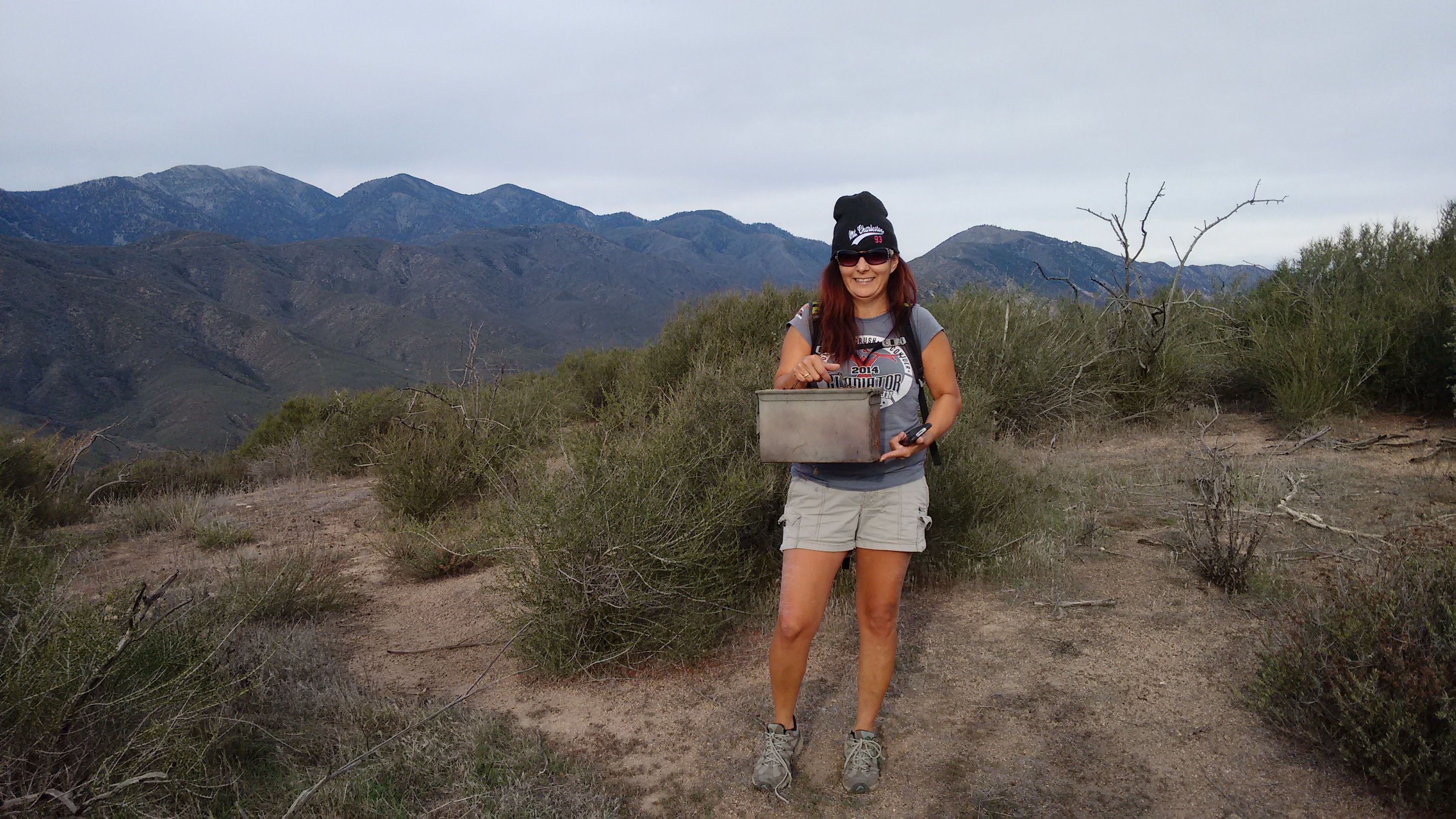
If you want to know what's in the box, you'll have to go up there and find it for yourself.
After skimming this SummitPoster's trip report, Cecelia and I shot out there early Sunday morning, hoping to be done before the NFL started on TV.
We ended up taking a different approach than the SummitPoster. We started closer to the PCT crossing at Swarthout Canyon Road.

There is a water stash at this location. Initially we didn't realize the trail was only 100 feet away from the car, so we zigzagged northward through the low brush instead. But you could actually walk the PCT trail to the base of our approach ridge, which was a smallish thing between two larger ridges and two small gullies.

The ridge became very steep near the top, and we slipped around a bit on rock covered in a thin layer of loose sand. We found a short section of bare rock and used it to climb up part of the slope.

Overall it was okay and we soon reached the main ridge leading to Ralston.

Here we looked back and realized that we should have taken the PCT trail to the base of our spur ridge.

The main ridge is pretty short and easy. Heading east we passed one false bump with a post on it, and then could clearly see the peak ahead.

The summit had brush on it, but it was wide and offered a few good clearings where people could sit down and enjoy the views of the Mormon Rocks and Cajon Pass area.

The peak had its own metal post, and nearby two register cans sat empty.


Nearby I found an old scrap of paper with two names on it: Mark Adrian from San Diego and Terry Flood of Carlsbad. I assumed that the weathered paper belonged in one of the register cans, so that's where it resides now.

While wandering around and being curious, we also happened upon a hidden geocache.

If you want to know what's in the box, you'll have to go up there and find it for yourself.