DMV Hike
Posted: Tue Apr 21, 2015 1:54 pm
Many people, including myself, enjoy spreading the word about popular hikes with clever acronyms like C2C or ECBO, but you rarely hear people brag about the challenges involved in completing DMV.
Perhaps you suspect that the DMV adventure involves waiting in long lines and identifying small letters on an eye chart, but it doesn't. It actually involves parking at Charlton Flat and bagging three peaks in the area: Devils Peak, Mt. Mooney, and Vetter Mountain.

To reach Devils Peak from Charlton Flat, it is first customary to cross the Angeles Crest Highway and venture down this fire road called 3N15.

Street legal vehicles are permitted on the dirt pathway, but I recommend walking, which ultimately helps to intensify the subsequent feeling of accomplishment.

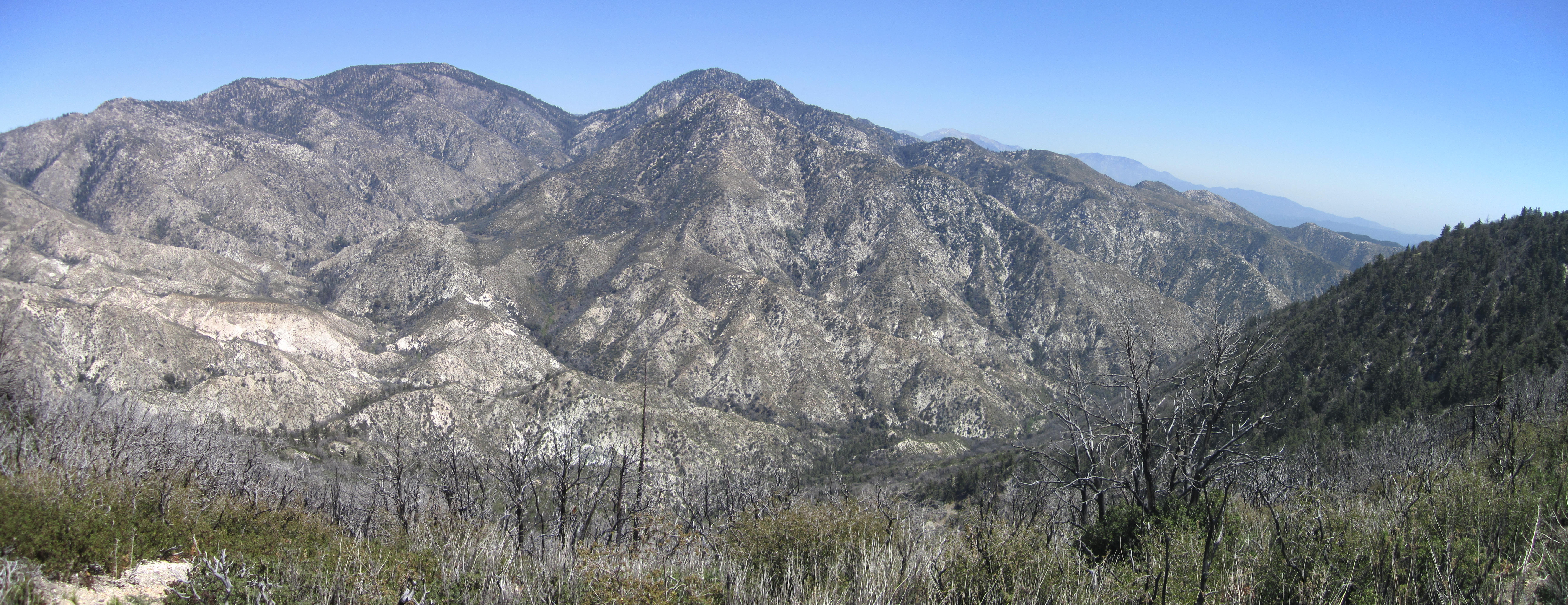
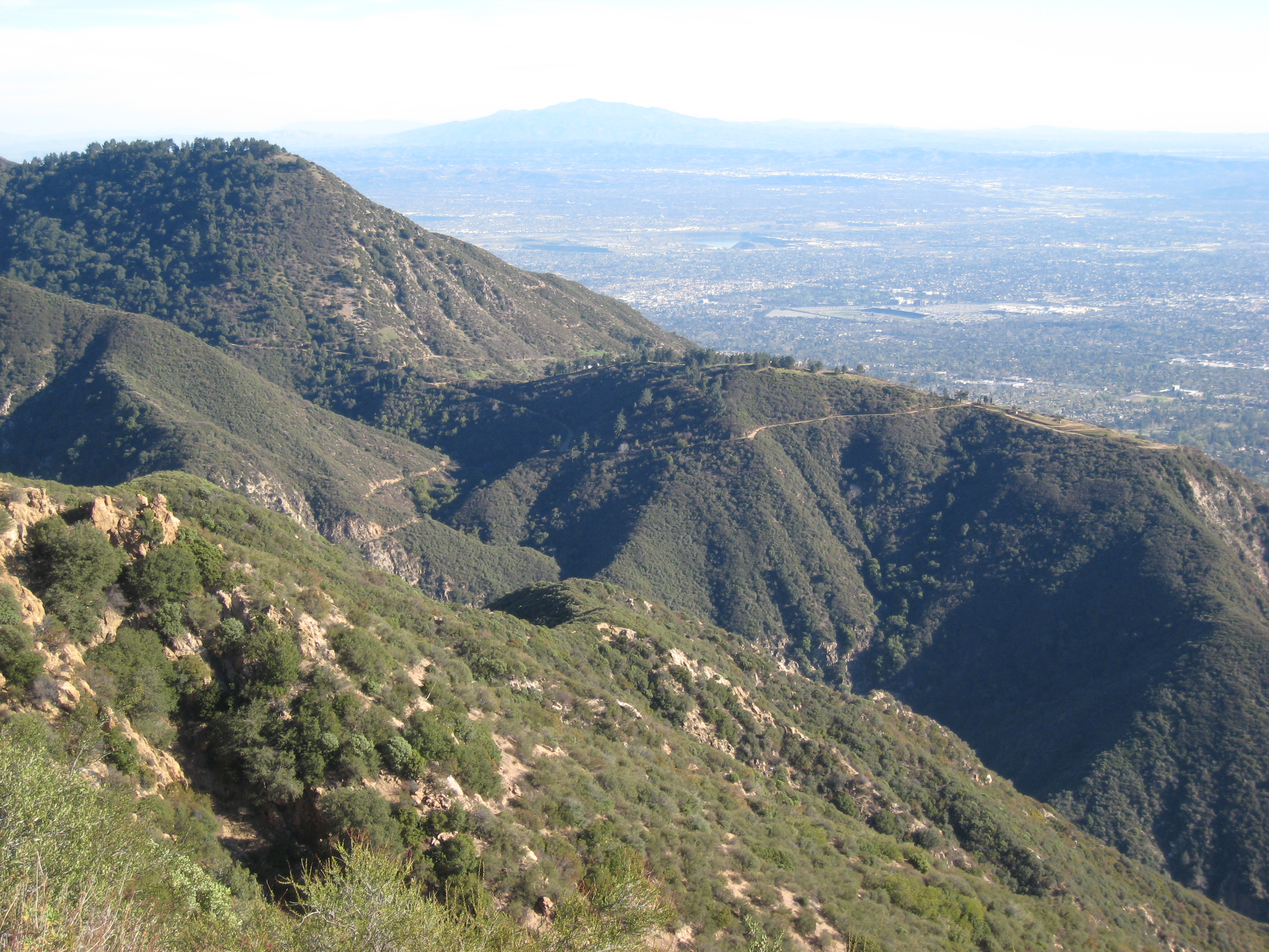
Incidentally, the above picture was taken on Mt. Mooney, which Cecelia and I bagged before Devils Peak. But for the sake of consistency and clarity, let's describe the peaks in order of their placement in the DMV acronym, shall we?
So...Devils Peak. After a short walk up 3N15 out of Charlton Flat, there is a saddle junction. Here the current road continues straight, while an adjoining, gated fire road looks appealing on the right.

3N15A is another beautifully wide and clear path. After passing through a bit of shade,

the road reaches a white-domed observatory called Stony Ridge.

Presumably, curious folk sit (or stand) inside this building and look at stuff in the night sky. Cecelia and I didn't have a key to the lock, and it wasn't night time, so we contented ourselves with the daytime view of Mt. Waterman and Devils Canyon.

The road continues a bit more beyond the observatory, to a little saddle, where heading straight up the ridge on an old, debris-covered roadbed seems like the way to Devils Peak.

Due to the Station Fire, the final route to the summit provides minor challenges like scrambling over deadfall, through thorns, and around poodle dog bushes.


There is barely enough room on the exposed summit for two people to sit comfortably in the dirt while trying to avoid dried up pieces of poodle dog branches. However, the summit did have a small, plastic jar filled with two sheets of paper. So that was a plus.

Some maps indicate a benchmark ("DEVIL") on this peak, but at the time we weren't even aware of it and didn't notice it.
Enough of Devils Peak.
Back at the original saddle junction, the way to Mt. Mooney is up the ridge to the west, passing an old tank on the left.

The trail is another old truck path ruined by the fire, but only a few dead trees block the way, and it's quite a simple matter to reach the peak.

Attached to one of the summit trees, a striped piece of tape fluttered in the wind.

And a little lizard was humping a branch.

From this vantage point Devils Peak can be clearly seen across the gully.

DMV wouldn't be complete without hitting up Vetter Mountain. But who doesn't know how to reach Vetter Mountain?
In case you're one of those people who doesn't know, it's simple really. Starting from Charlton Flat, look for one of the signs that say "Vetter this-a-way or that-a-way" and follow the arrow.

Of course, if you want "Wood", then follow that arrow.
And, remember, while you're walking the road, don't fall into the mess of poodle dog bushes.

When the pavement turns to dirt, you're almost at the summit.

You'll see ruins of the old lookout tower on the peak. Feel free to hang up your backpack

and congratulate yourself on a DMV well done.

Oh, and let's start a new trend by entering the ruins through the sub-floor doggie door.

Perhaps you suspect that the DMV adventure involves waiting in long lines and identifying small letters on an eye chart, but it doesn't. It actually involves parking at Charlton Flat and bagging three peaks in the area: Devils Peak, Mt. Mooney, and Vetter Mountain.
To reach Devils Peak from Charlton Flat, it is first customary to cross the Angeles Crest Highway and venture down this fire road called 3N15.
Street legal vehicles are permitted on the dirt pathway, but I recommend walking, which ultimately helps to intensify the subsequent feeling of accomplishment.
Incidentally, the above picture was taken on Mt. Mooney, which Cecelia and I bagged before Devils Peak. But for the sake of consistency and clarity, let's describe the peaks in order of their placement in the DMV acronym, shall we?
So...Devils Peak. After a short walk up 3N15 out of Charlton Flat, there is a saddle junction. Here the current road continues straight, while an adjoining, gated fire road looks appealing on the right.
3N15A is another beautifully wide and clear path. After passing through a bit of shade,
the road reaches a white-domed observatory called Stony Ridge.
Presumably, curious folk sit (or stand) inside this building and look at stuff in the night sky. Cecelia and I didn't have a key to the lock, and it wasn't night time, so we contented ourselves with the daytime view of Mt. Waterman and Devils Canyon.

The road continues a bit more beyond the observatory, to a little saddle, where heading straight up the ridge on an old, debris-covered roadbed seems like the way to Devils Peak.
Due to the Station Fire, the final route to the summit provides minor challenges like scrambling over deadfall, through thorns, and around poodle dog bushes.
There is barely enough room on the exposed summit for two people to sit comfortably in the dirt while trying to avoid dried up pieces of poodle dog branches. However, the summit did have a small, plastic jar filled with two sheets of paper. So that was a plus.
Some maps indicate a benchmark ("DEVIL") on this peak, but at the time we weren't even aware of it and didn't notice it.
Enough of Devils Peak.
Back at the original saddle junction, the way to Mt. Mooney is up the ridge to the west, passing an old tank on the left.
The trail is another old truck path ruined by the fire, but only a few dead trees block the way, and it's quite a simple matter to reach the peak.
Attached to one of the summit trees, a striped piece of tape fluttered in the wind.
And a little lizard was humping a branch.
From this vantage point Devils Peak can be clearly seen across the gully.
DMV wouldn't be complete without hitting up Vetter Mountain. But who doesn't know how to reach Vetter Mountain?
In case you're one of those people who doesn't know, it's simple really. Starting from Charlton Flat, look for one of the signs that say "Vetter this-a-way or that-a-way" and follow the arrow.
Of course, if you want "Wood", then follow that arrow.
And, remember, while you're walking the road, don't fall into the mess of poodle dog bushes.
When the pavement turns to dirt, you're almost at the summit.
You'll see ruins of the old lookout tower on the peak. Feel free to hang up your backpack
and congratulate yourself on a DMV well done.
Oh, and let's start a new trend by entering the ruins through the sub-floor doggie door.