Stanley-Miller Mine
Posted: Tue Mar 31, 2015 8:54 pm
On Monday Dima, Willie, and I took on the challenge of locating the Stanley-Miller Mine. Well-prepared with several maps and GPS tracks, we started up the East Fork of the San Gabriel River around 9:30am.

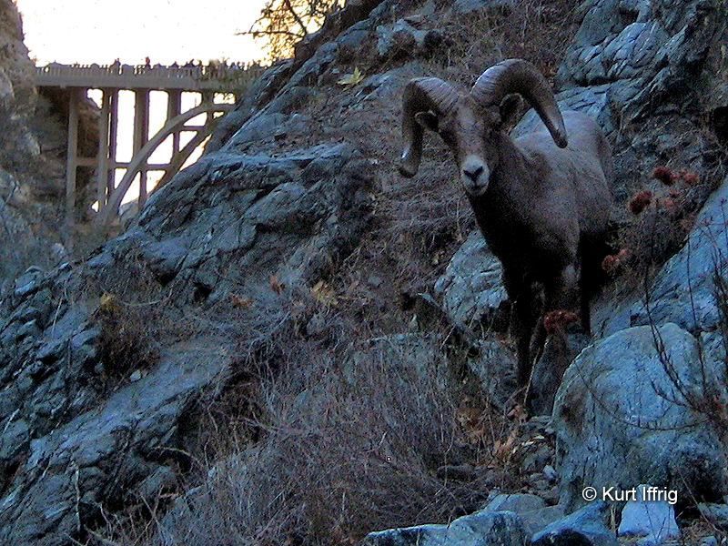
This was my first time up the East Fork, so I took a lot of pictures of popular sights like the Bridge to Nowhere.

After a little break on the bridge, we continued up into the Narrows.

The river-crossings were not terrible, but our shoes still got a little wet here and there.

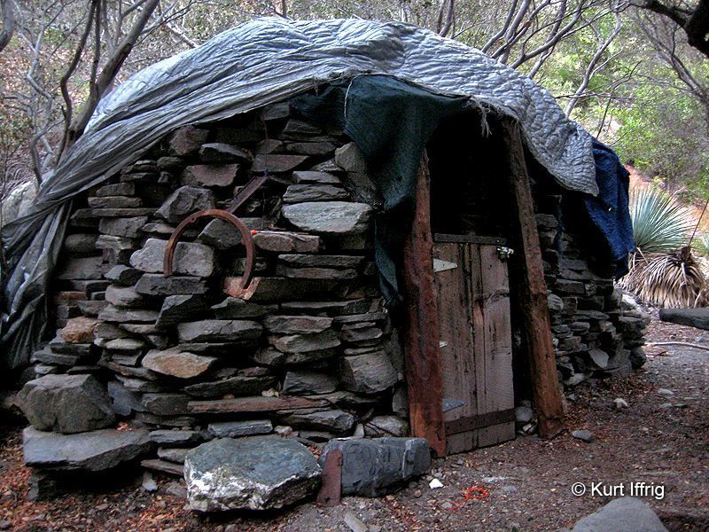
About a mile beyond the bridge we found the hobo hut.

Nobody was home, so we promptly started searching for a key landmark in our quest to find the mine: cabin ruins!

From the ruins, which are above the hobo hut, we backtracked down-canyon about 50 feet and found an agreeable scree slope to ascend.

Depending on how you criss-cross through this section, you might encounter some slightly exposed and steep ledges requiring moderate climbing skills. People have affixed a rope and a cable to trees in order to assist such daredevils.
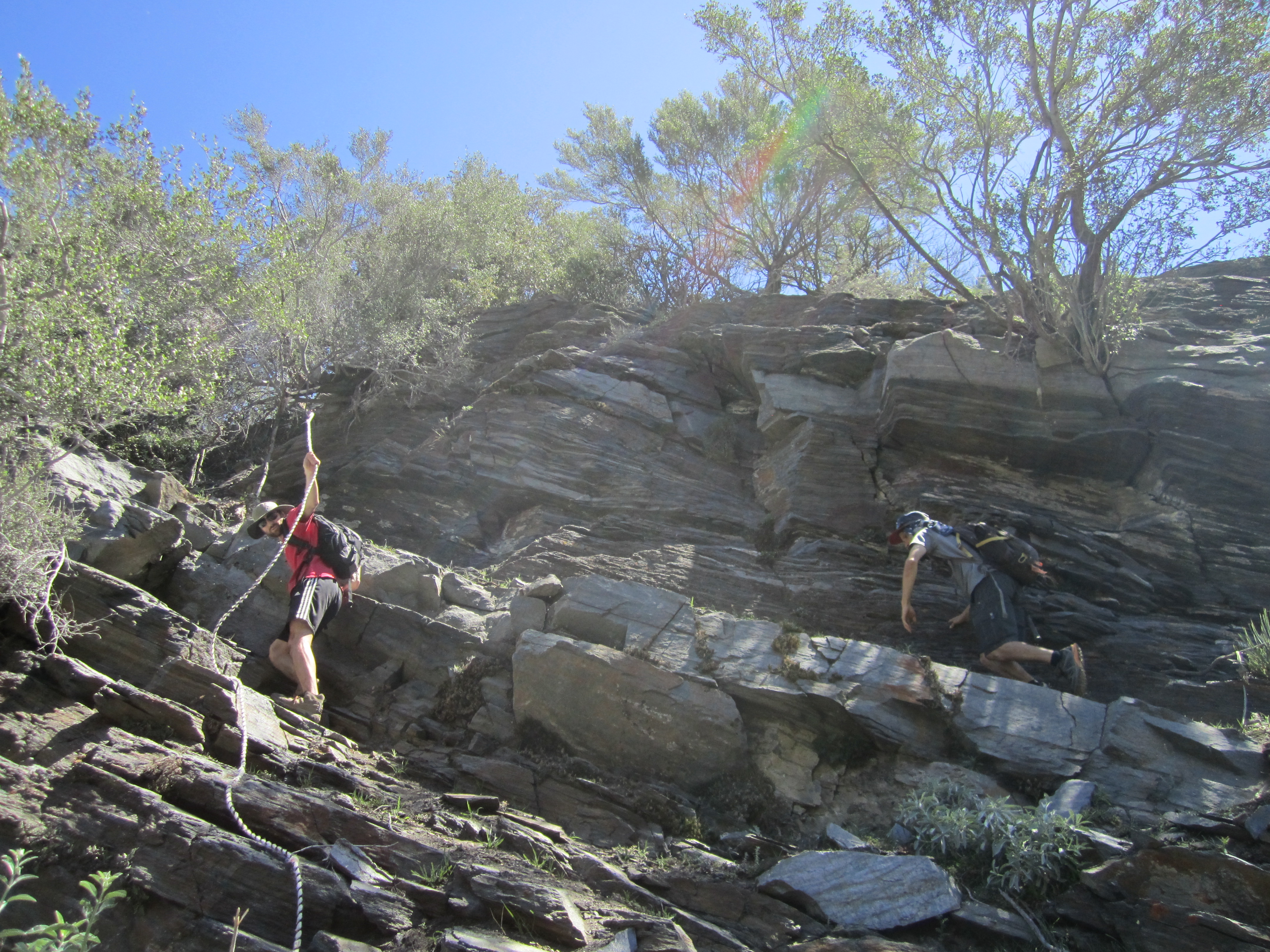
Or you can risk life and limb like Willie.
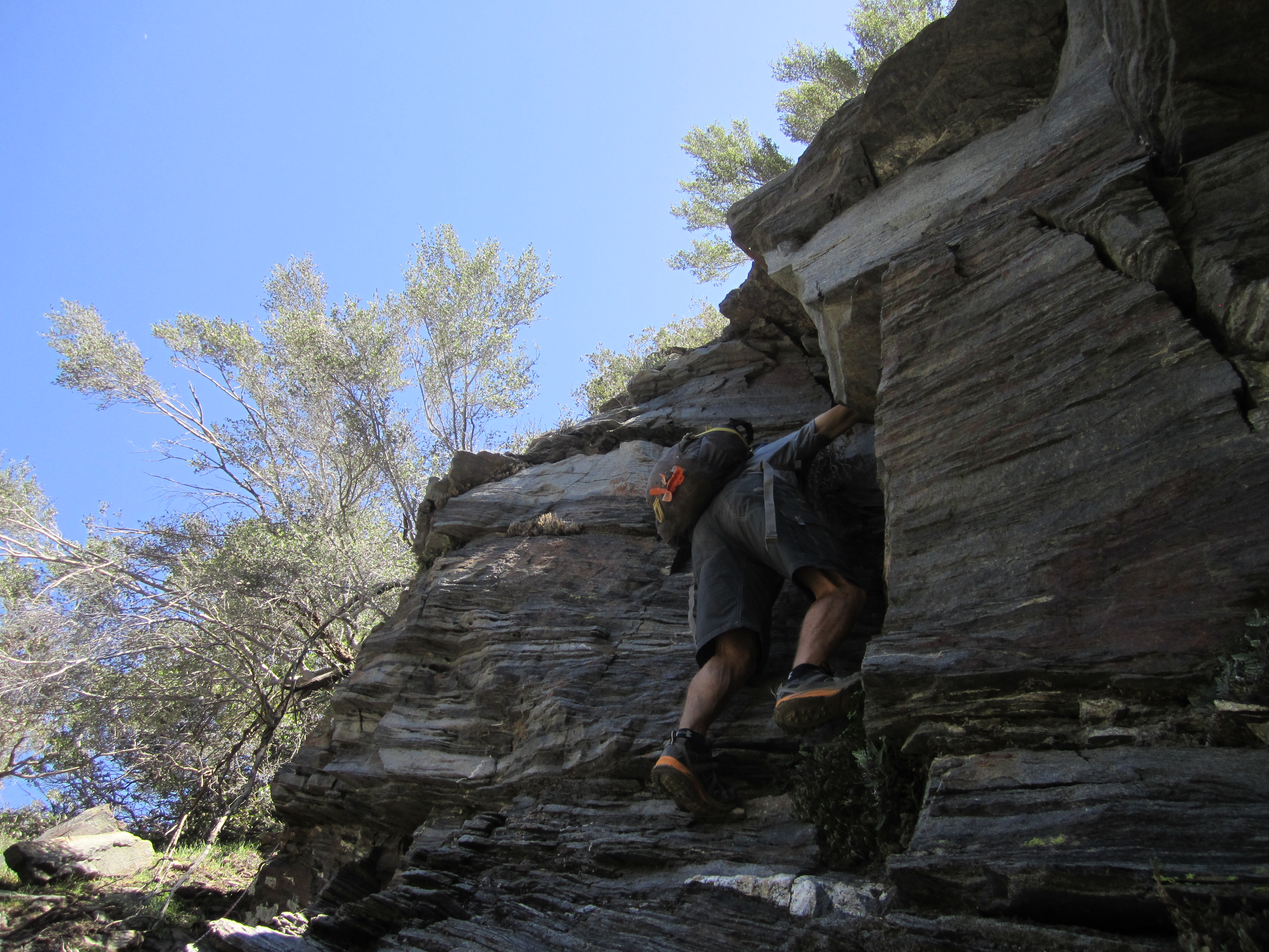
After that there's some more easy but steepish hiking on a well-used sheep trail up to some trees. This is where we began our search for the mine, as the GPS indicated it should be close.

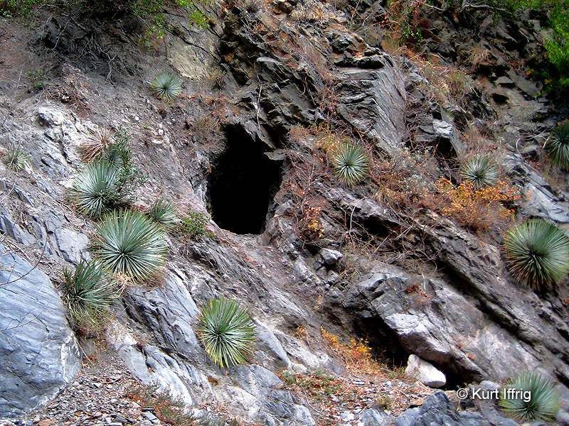
After scrambling around for awhile we finally found some holes in the side of the mountain.

These were small, perhaps exploratory, or caved-in, mines. But nearby we found the big one.
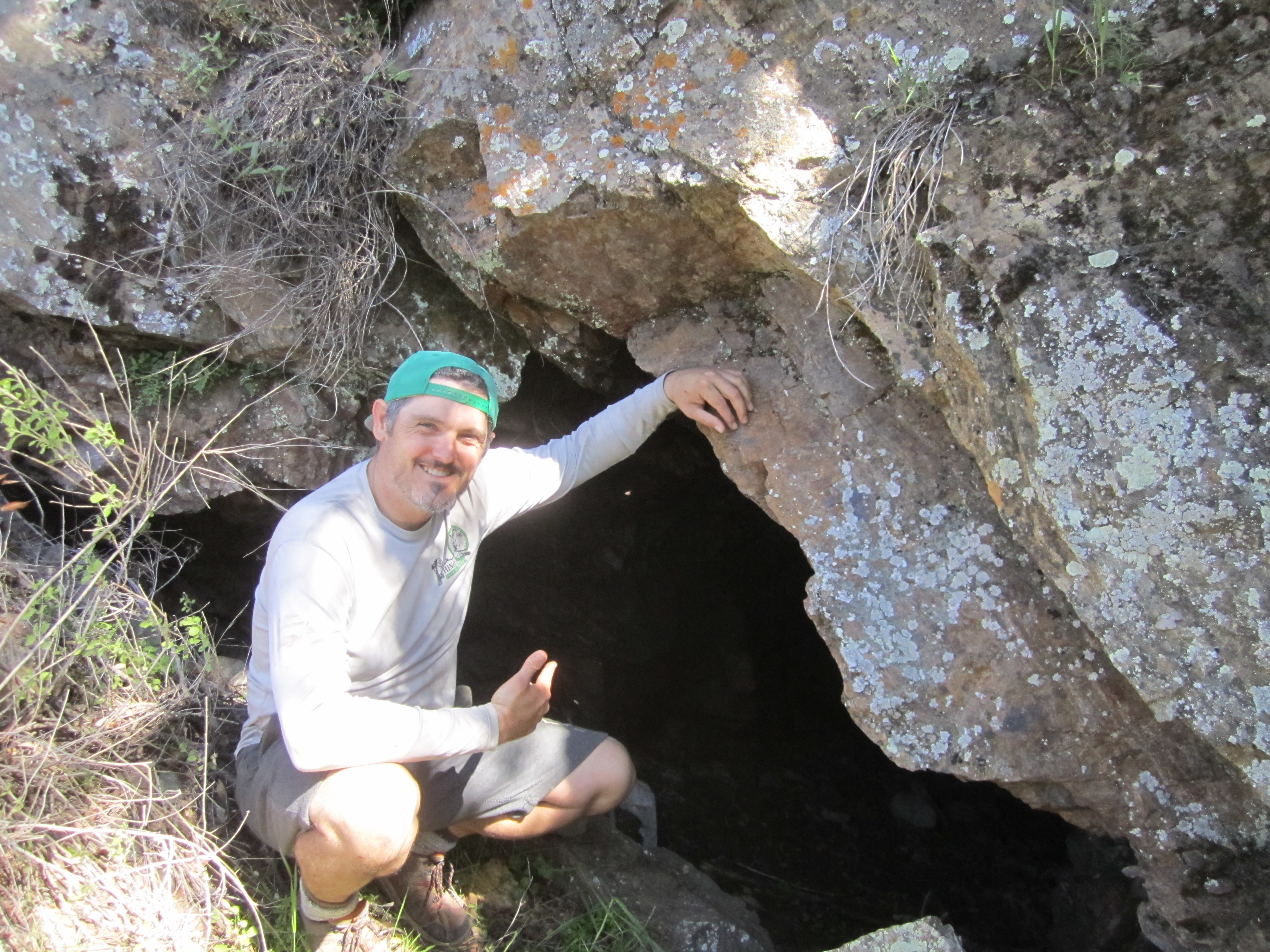
Inside there was an ore cart.

The tunnel network was somewhat extensive, and Willie saw most of it, as he climbed up to the top level.

We also visited the mill.
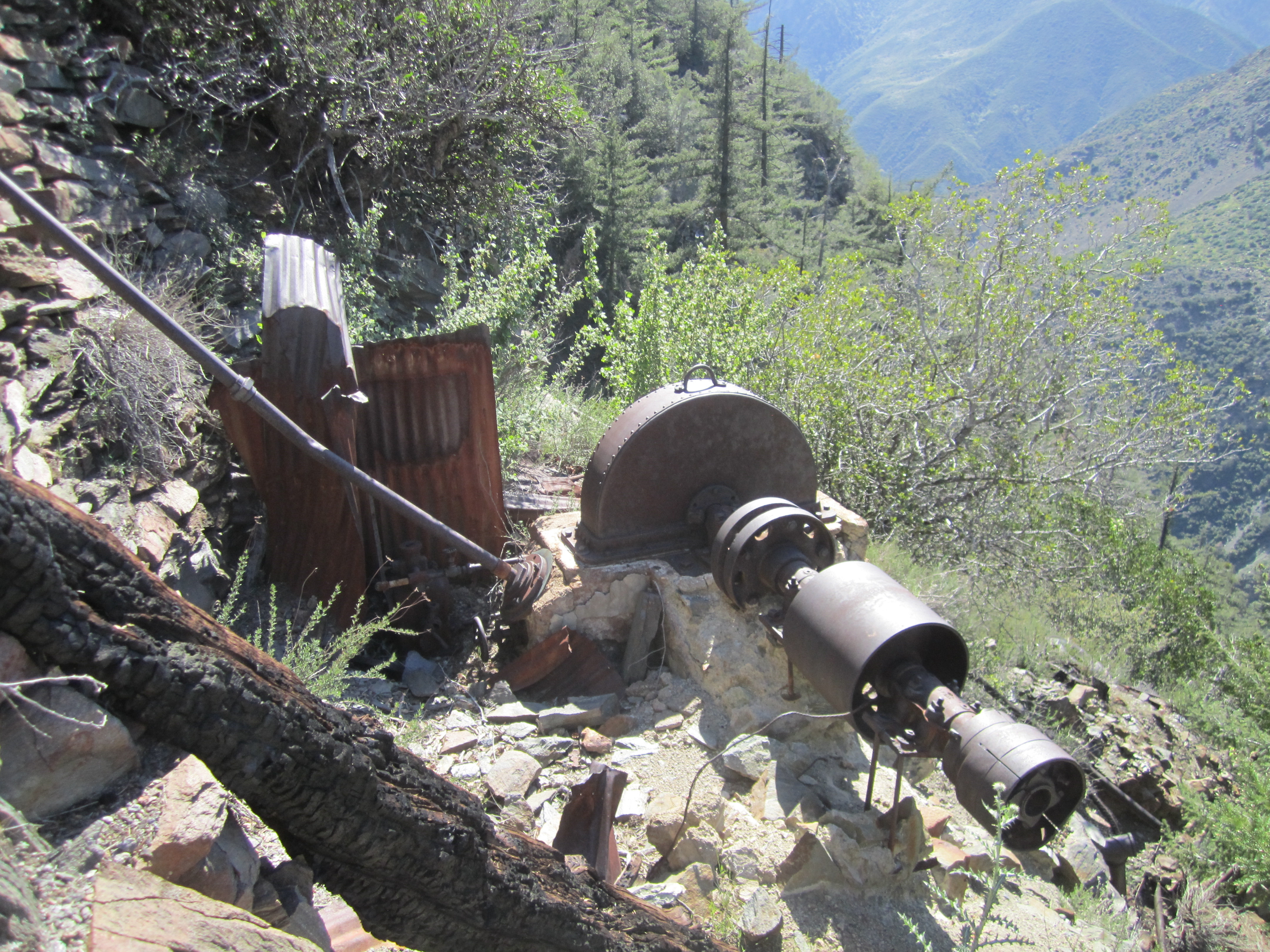
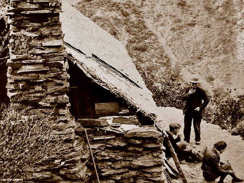
And the cabin.


Now I must go because the library is closing.

Dima's Pictures
This was my first time up the East Fork, so I took a lot of pictures of popular sights like the Bridge to Nowhere.
After a little break on the bridge, we continued up into the Narrows.
The river-crossings were not terrible, but our shoes still got a little wet here and there.
About a mile beyond the bridge we found the hobo hut.
Nobody was home, so we promptly started searching for a key landmark in our quest to find the mine: cabin ruins!
From the ruins, which are above the hobo hut, we backtracked down-canyon about 50 feet and found an agreeable scree slope to ascend.
Depending on how you criss-cross through this section, you might encounter some slightly exposed and steep ledges requiring moderate climbing skills. People have affixed a rope and a cable to trees in order to assist such daredevils.
Or you can risk life and limb like Willie.
After that there's some more easy but steepish hiking on a well-used sheep trail up to some trees. This is where we began our search for the mine, as the GPS indicated it should be close.
After scrambling around for awhile we finally found some holes in the side of the mountain.
These were small, perhaps exploratory, or caved-in, mines. But nearby we found the big one.
Inside there was an ore cart.

The tunnel network was somewhat extensive, and Willie saw most of it, as he climbed up to the top level.

We also visited the mill.
And the cabin.
Now I must go because the library is closing.
Dima's Pictures
