Aborted Stanley-Miller mine attempt (and lots of other stuff)
Posted: Sun Jan 18, 2015 12:36 pm
On some level the title makes sense, since this trip was indeed an attempt to reach Stanley-Miller Mine. On another level, I barely made any progress in this area. There's a lot of water in the river, and in a few spots in the Narrows, I was unprepared to cross.
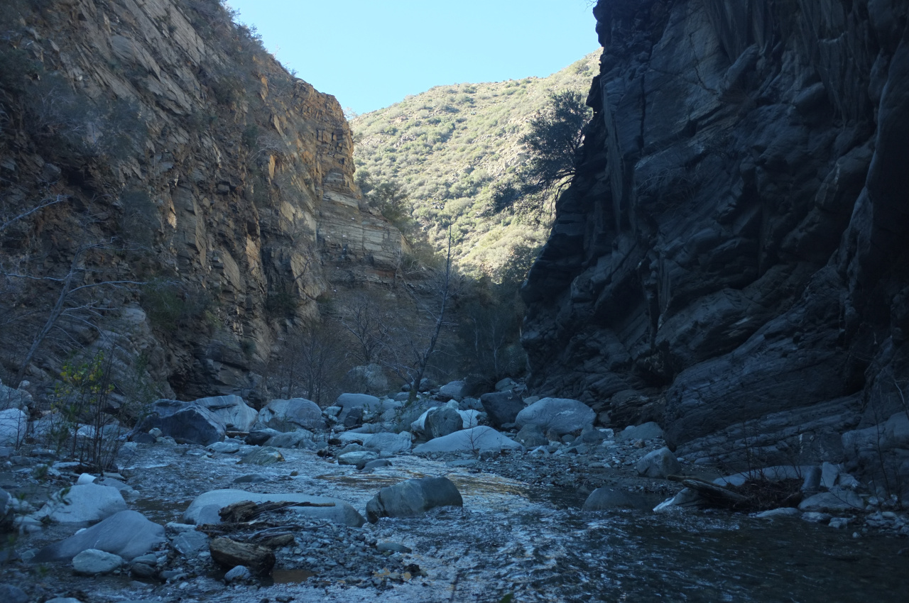
At one point I did get far enough to climb up, but the slope was very steep and loose, and it felt like a very bad idea to ascend by myself.
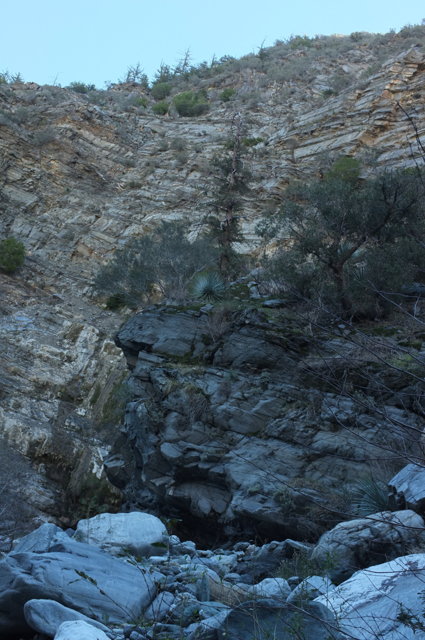
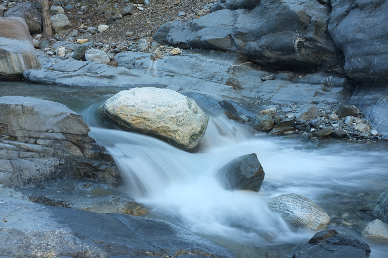
So I hung out for a bit, and took some photos

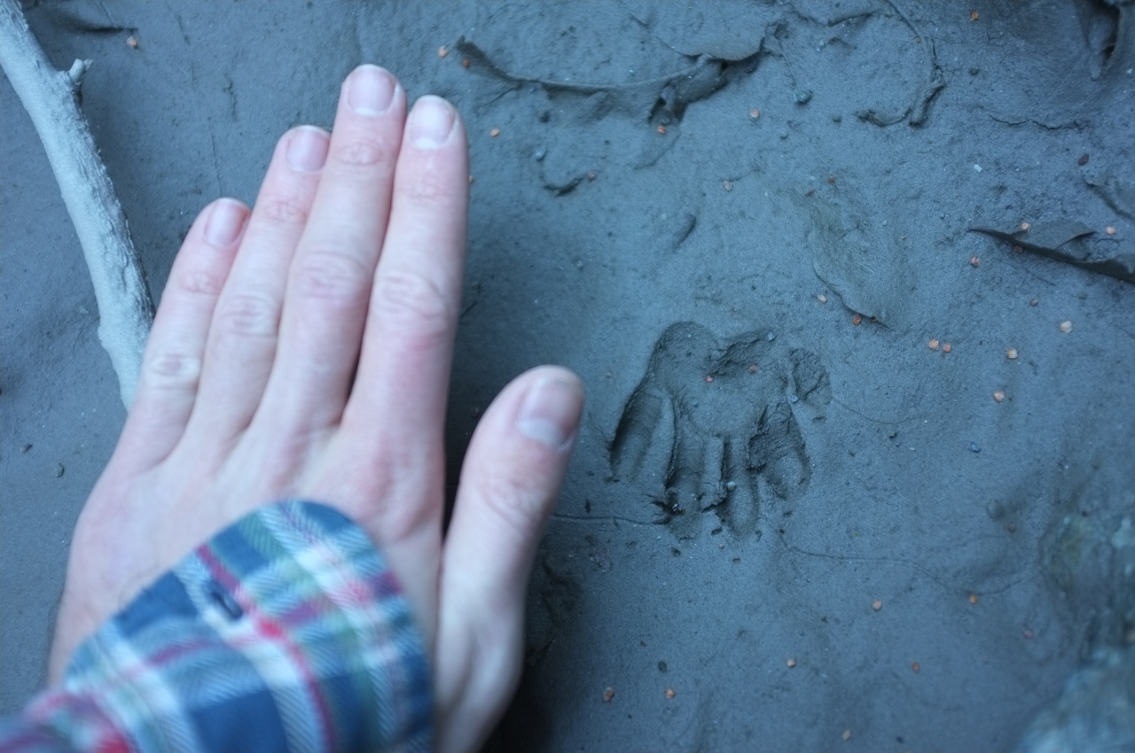
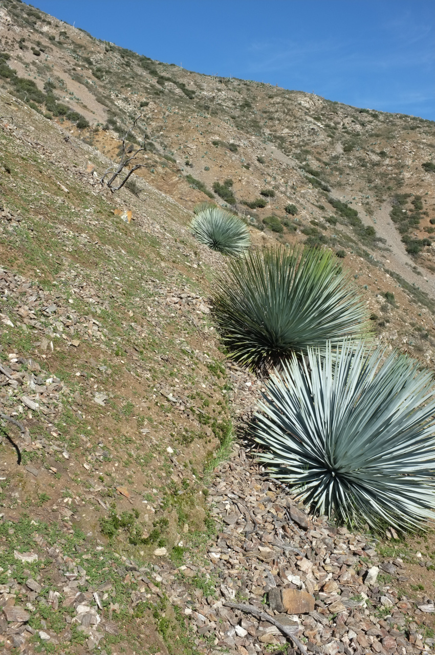
Whose print is this?
If somebody wants to join me on another attempt on Stanley-Miller, PM me!
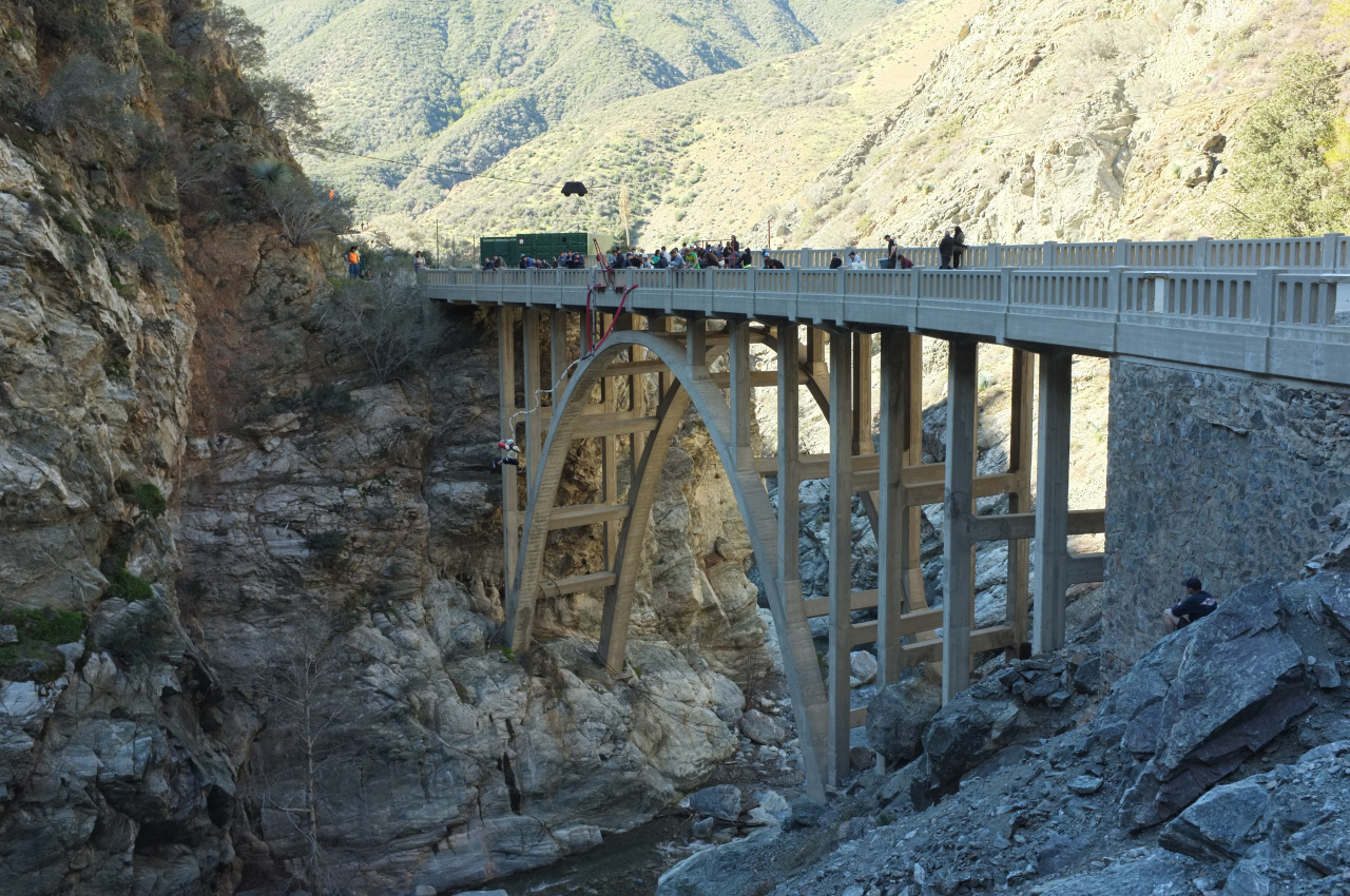
I then went back, and by this time the bridge was abuzz with activity:
Walking back a bit more, I felt unaccomplished. Looking West, across the river one could see a switchback from a trail I've always wondered about (strangely unpictured). I was pretty sure this was part of the trail that appears on the USGS maps. It seemed like a good time to check that out, so I descended, crossed the river, and climbed to meet the trail. Taco and AW described this in an older TR as well:
https://eispiraten.com/viewtopic.php?t=1500
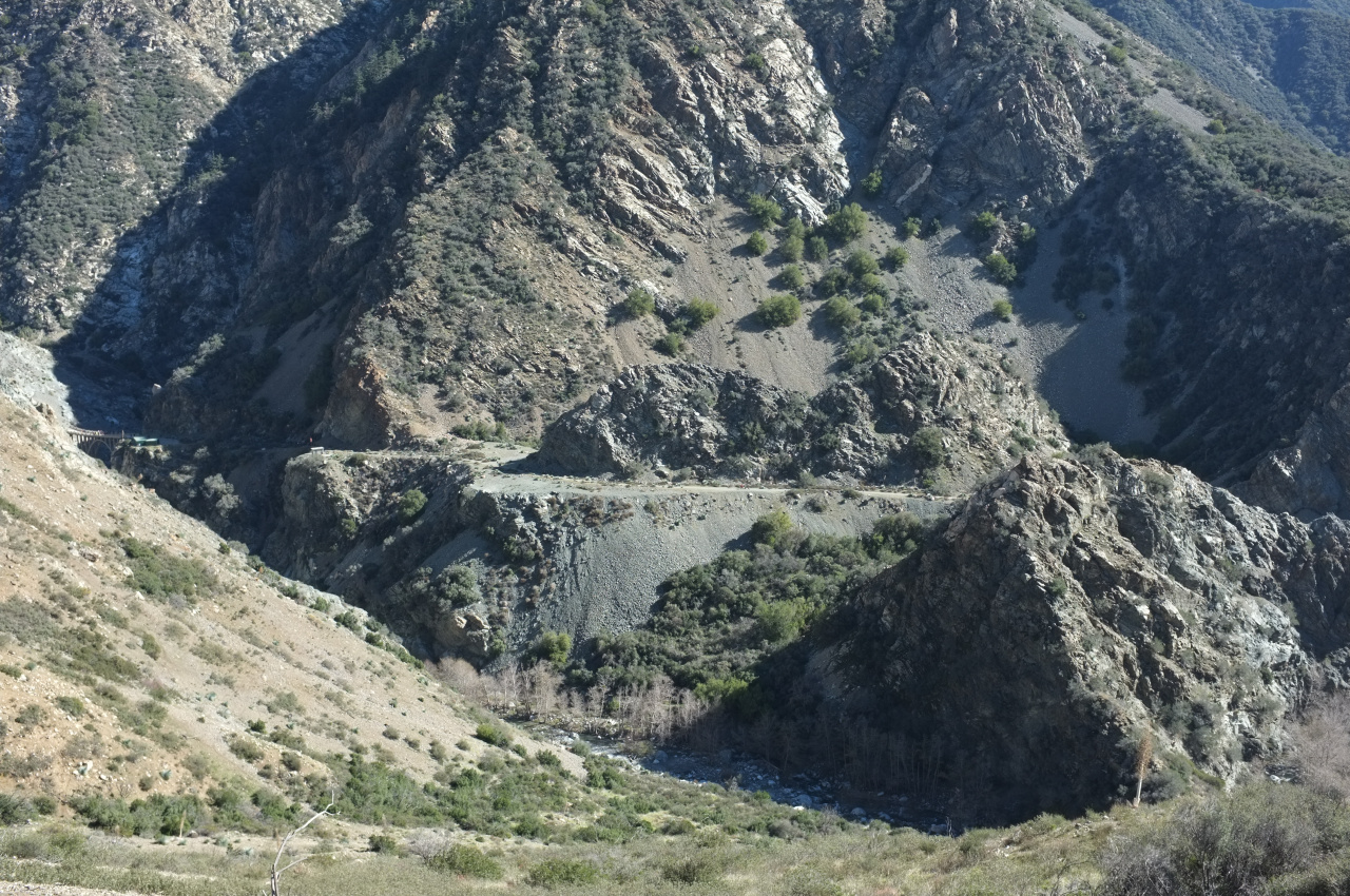
The good news is that some of this trail sorta still exists. The bad news is that what you see from the road is ALL that still exists. The section of the trail most-visible from the road, as viewed from the trail:
In the process, I found an old stove:

and an old mine shaft (too busy bushwacking to take a photo). And the views from above are pretty good:

Mostly, the area is now full of animal trails and their poop. I also found some of the animals themselves:
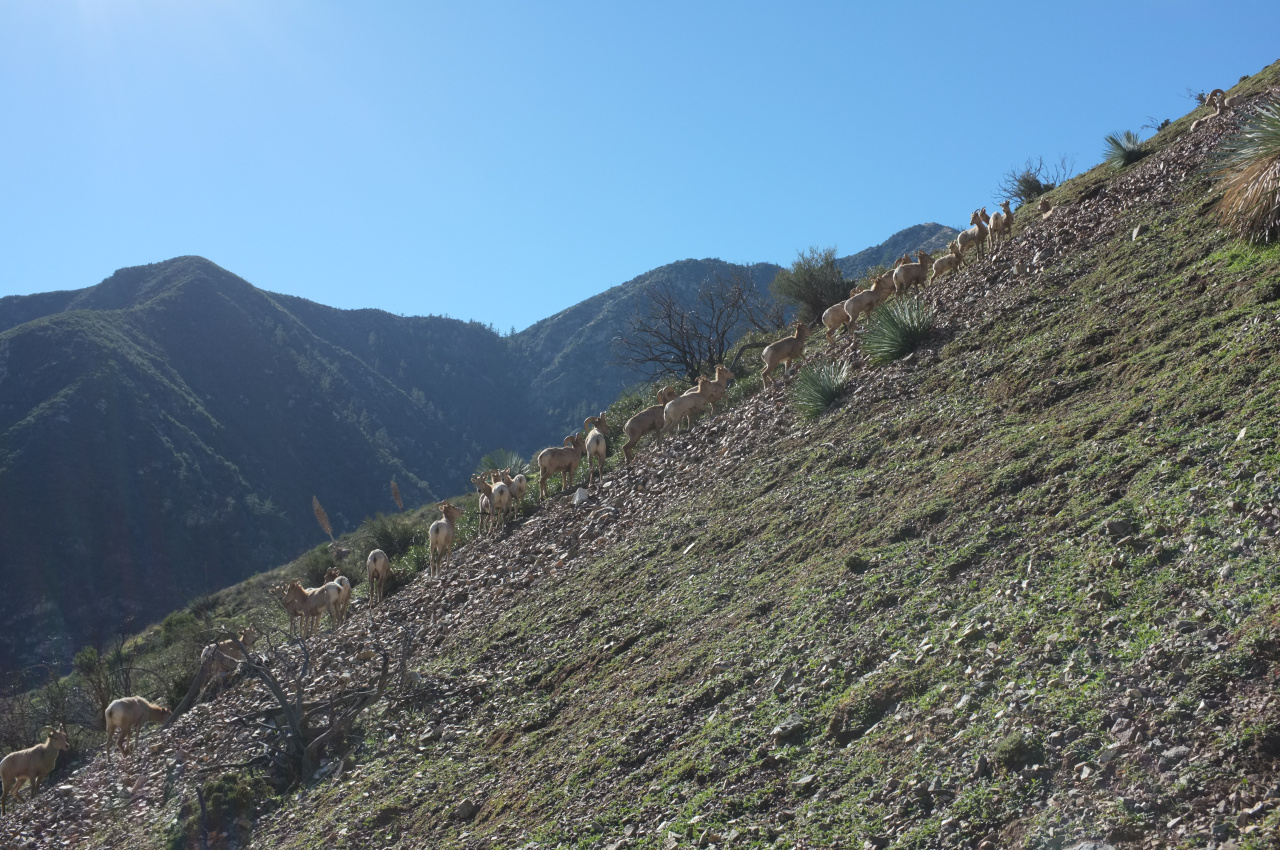
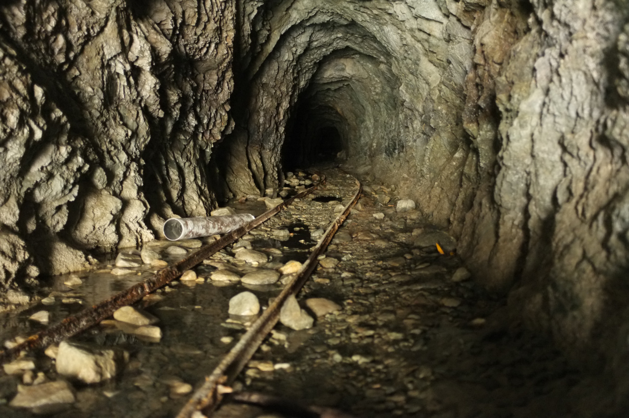
Holy sheep! The terrain was relatively clear, and very easy to climb. I had no particular agenda past checking out the old trail, so I descended and followed the river back. And I found another mine! I believe it was the Horseshoe Mine.
So I failed in my mission, but the trip was still surprisingly eventful.
At one point I did get far enough to climb up, but the slope was very steep and loose, and it felt like a very bad idea to ascend by myself.
So I hung out for a bit, and took some photos
Whose print is this?
If somebody wants to join me on another attempt on Stanley-Miller, PM me!
I then went back, and by this time the bridge was abuzz with activity:
Walking back a bit more, I felt unaccomplished. Looking West, across the river one could see a switchback from a trail I've always wondered about (strangely unpictured). I was pretty sure this was part of the trail that appears on the USGS maps. It seemed like a good time to check that out, so I descended, crossed the river, and climbed to meet the trail. Taco and AW described this in an older TR as well:
https://eispiraten.com/viewtopic.php?t=1500
The good news is that some of this trail sorta still exists. The bad news is that what you see from the road is ALL that still exists. The section of the trail most-visible from the road, as viewed from the trail:
In the process, I found an old stove:
and an old mine shaft (too busy bushwacking to take a photo). And the views from above are pretty good:
Mostly, the area is now full of animal trails and their poop. I also found some of the animals themselves:
Holy sheep! The terrain was relatively clear, and very easy to climb. I had no particular agenda past checking out the old trail, so I descended and followed the river back. And I found another mine! I believe it was the Horseshoe Mine.
So I failed in my mission, but the trip was still surprisingly eventful.

