Point 4441 YBR
Posted: Sun Nov 23, 2014 1:09 am
Took a ride up Yerba Buena Ridge today from Little-T via Gold Creek on my bike. I've been scouting this one out a bit over the last couple of weeks to figure out the route. Today I fell just short of reaching Mt. McKinley via this approach as I ran out of time. I settled for a quick jog to the top of Point 4441 to have a look at the view.
From Oak Springs picnic area, I followed Gold Creek Road past a couple of ranch driveways to an unmarked bypass trail that skirts around the large private inholding in upper Gold Creek. This trail seems to have been recently worked and cleared. It leaves the road at the crest of a saddle, drops down into the creek then climbs up the other side and rejoins the unmaintained Gold Creek Road above "Watts Ranch" in the upper canyon. The trail can be seen on this map:
http://caltopo.com/map.html#ll=34.31608 ... 5&z=15&b=t
(I thought hunting season was over, but on the way up, I heard some shooting down in Boulder Canyon. Maybe coyote control?)
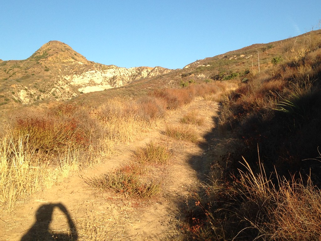
Though the road hasn't been maintained above the ranch, it's quite passable and generally climbs at a moderate grade. Only one or two spots are truly washed out. Here's a look at a nice stretch of road on the way up:
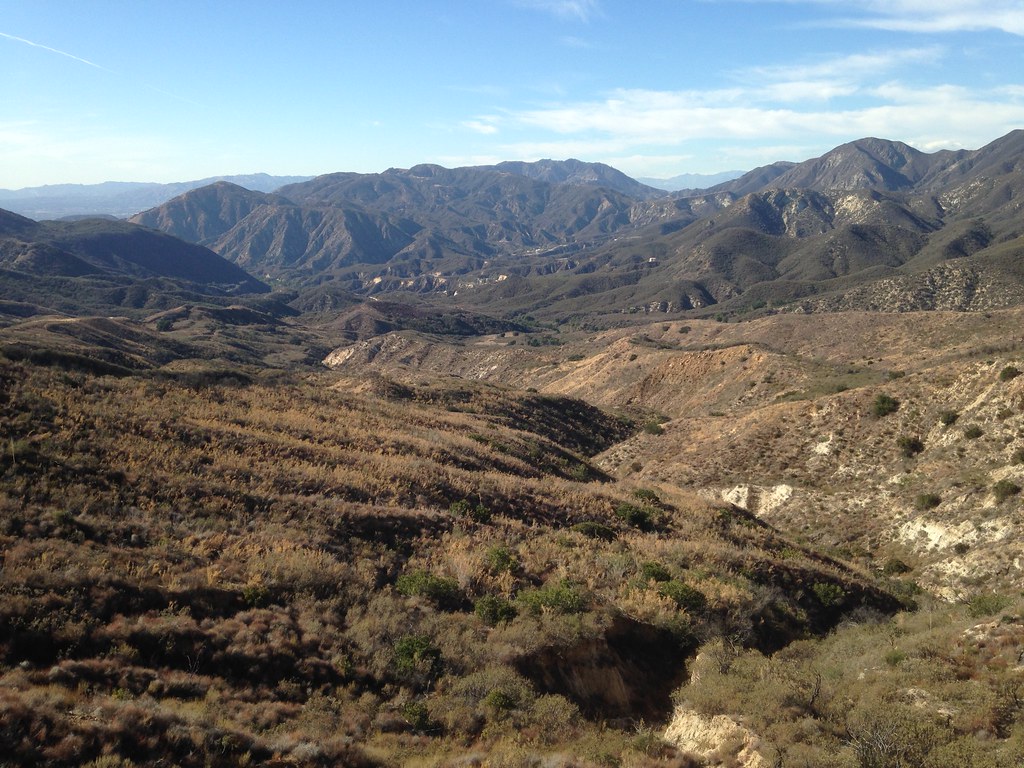
It eventually gains the ridge at Gold Canyon Saddle. Here's the view back down towards Little-T:
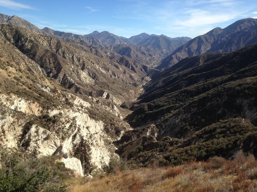
And here's looking over the other side, down Gold Canyon towards Big-T, Lukens and beyond:
Continuing northeast along Yerba Buena Ridge, the road is generally in better shape than the previous stretch, but the roadbed gets a bit softer and sandier as you enter the path of the Station Fire. Eventually the road crosses a true saddle, contours around and arrives at "Gold Creek Saddle" (not to be confused with Gold Canyon Saddle)
The trail leading to McKinley and Mendenhall ridge from here doesn't seem to have been maintained at all since the fire. However, it is passable on foot, not by bike.
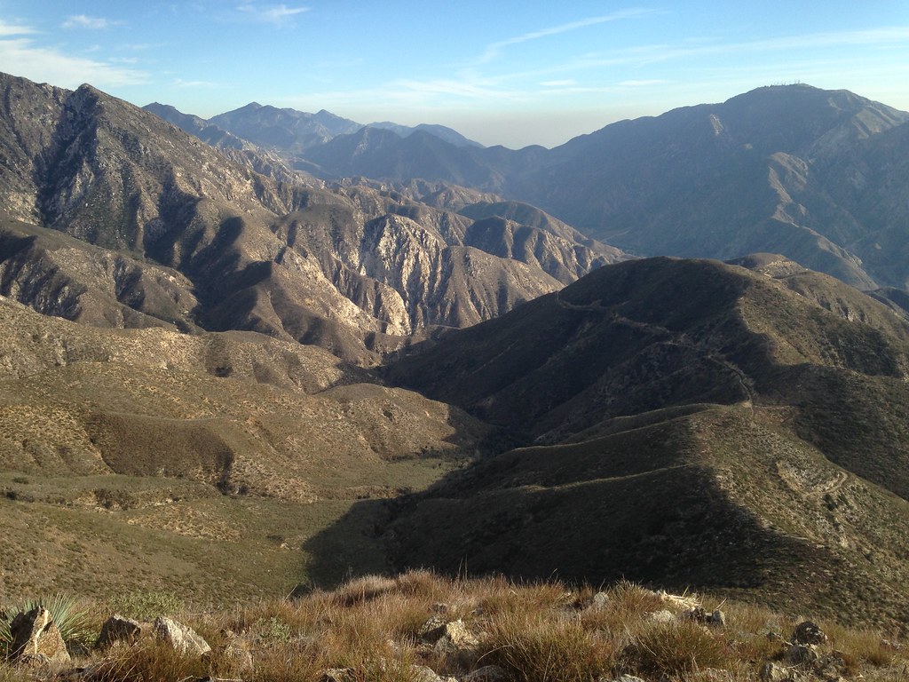
I got as far as the turnoff to Yerba Buena Spring and decided I didn't have time to make McKinley. I jogged to the top of Point 4441 and snapped a few shots. There's a metal post sticking out of a rockpile, but no register. View towards Condor and Trail Canyon:
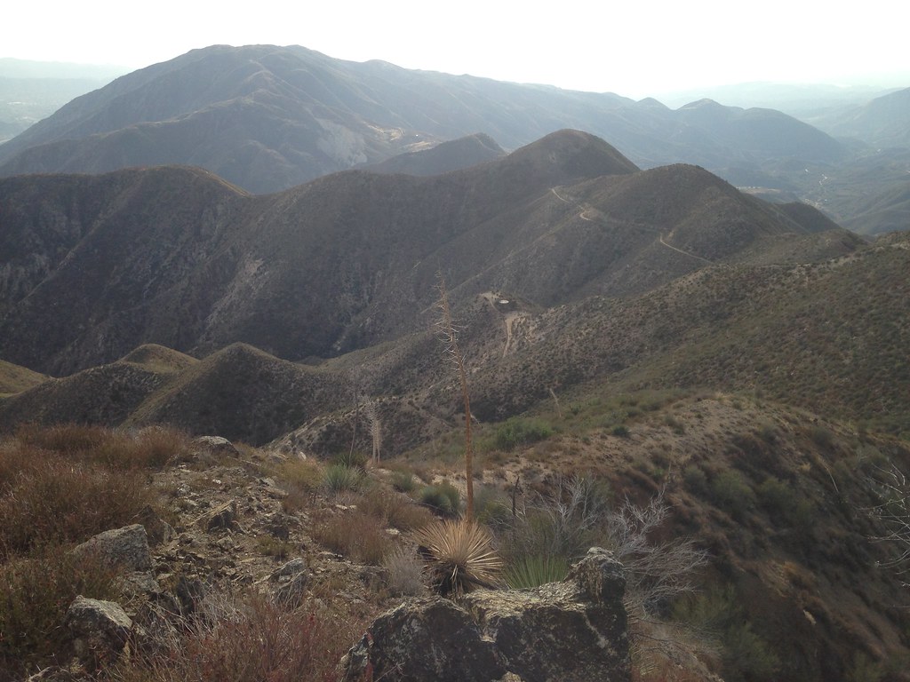
Looking down on the route I came up. You can see the water tank at Gold Creek Saddle, the road winding back along the ridge, some meadows near the head of Gold Canyon and even a stretch of Gold Creek Road down in the valley:

Great day to be out and about. View of Mendenhall area on the way down:
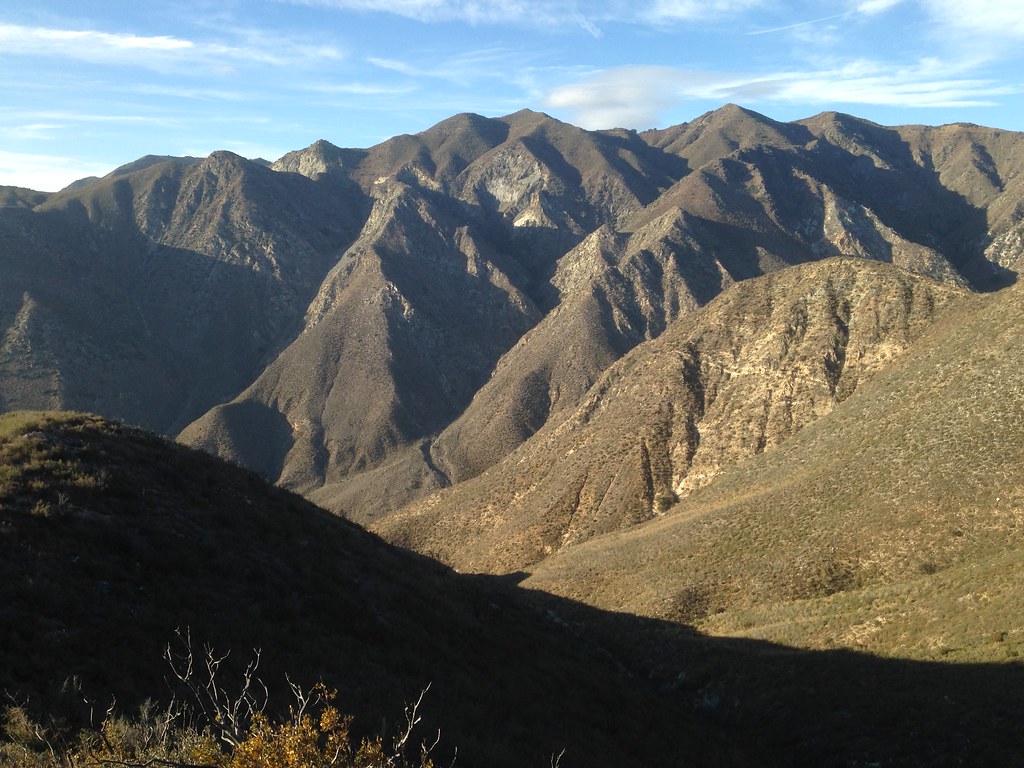
Does anybody know the mining history of this area? It looked a bit like there might have been activity high up on those rocky faces below the Mendenhall lookout site.
From Oak Springs picnic area, I followed Gold Creek Road past a couple of ranch driveways to an unmarked bypass trail that skirts around the large private inholding in upper Gold Creek. This trail seems to have been recently worked and cleared. It leaves the road at the crest of a saddle, drops down into the creek then climbs up the other side and rejoins the unmaintained Gold Creek Road above "Watts Ranch" in the upper canyon. The trail can be seen on this map:
http://caltopo.com/map.html#ll=34.31608 ... 5&z=15&b=t
(I thought hunting season was over, but on the way up, I heard some shooting down in Boulder Canyon. Maybe coyote control?)
Though the road hasn't been maintained above the ranch, it's quite passable and generally climbs at a moderate grade. Only one or two spots are truly washed out. Here's a look at a nice stretch of road on the way up:

It eventually gains the ridge at Gold Canyon Saddle. Here's the view back down towards Little-T:

And here's looking over the other side, down Gold Canyon towards Big-T, Lukens and beyond:

Continuing northeast along Yerba Buena Ridge, the road is generally in better shape than the previous stretch, but the roadbed gets a bit softer and sandier as you enter the path of the Station Fire. Eventually the road crosses a true saddle, contours around and arrives at "Gold Creek Saddle" (not to be confused with Gold Canyon Saddle)
The trail leading to McKinley and Mendenhall ridge from here doesn't seem to have been maintained at all since the fire. However, it is passable on foot, not by bike.
I got as far as the turnoff to Yerba Buena Spring and decided I didn't have time to make McKinley. I jogged to the top of Point 4441 and snapped a few shots. There's a metal post sticking out of a rockpile, but no register. View towards Condor and Trail Canyon:

Looking down on the route I came up. You can see the water tank at Gold Creek Saddle, the road winding back along the ridge, some meadows near the head of Gold Canyon and even a stretch of Gold Creek Road down in the valley:


Great day to be out and about. View of Mendenhall area on the way down:

Does anybody know the mining history of this area? It looked a bit like there might have been activity high up on those rocky faces below the Mendenhall lookout site.