Rattlesnake via SW Ridge
Posted: Mon Sep 22, 2014 6:48 pm
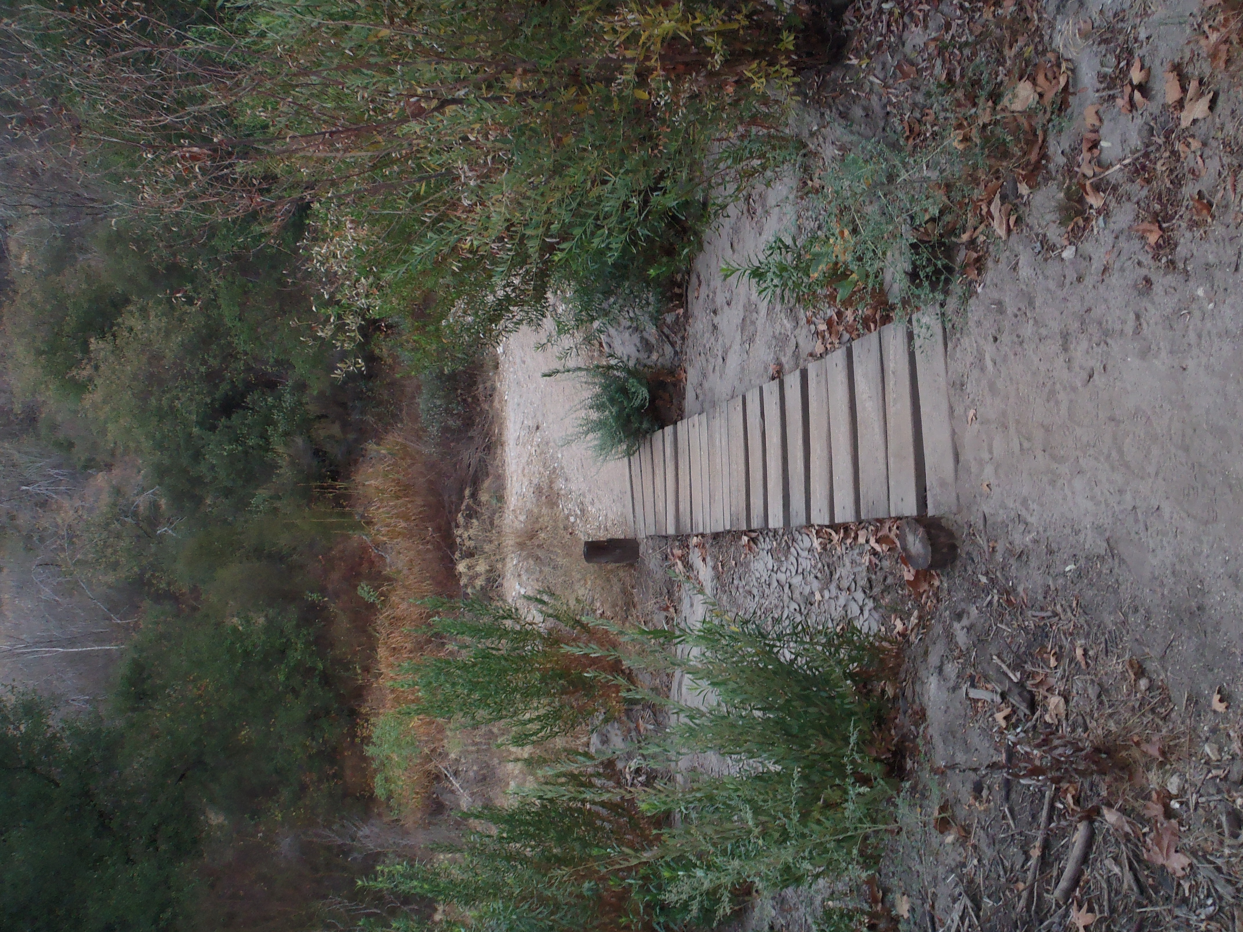
So there're these workout trails that the incarcerated folks at Fire Camp 19 built in/above Susanna Canyon (off the East Fork Road). Today at 6:30am I hopped aboard the one on the eastern side of the canyon, which starts beyond this footbridge and climbs up the ridge.
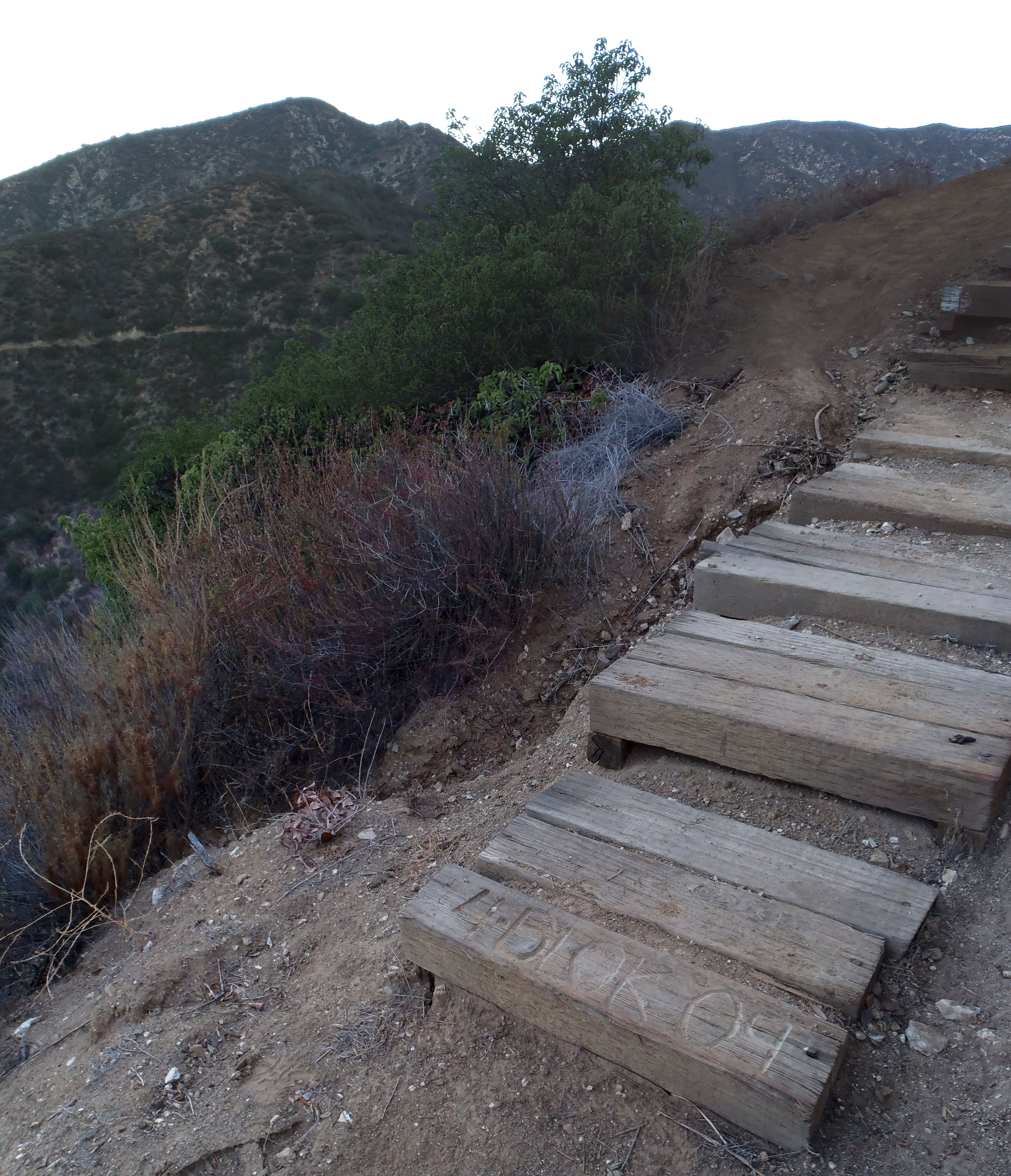
The workout trail is worth a visit by itself. It has some cool steps and good views of the surrounding canyons and peaks.
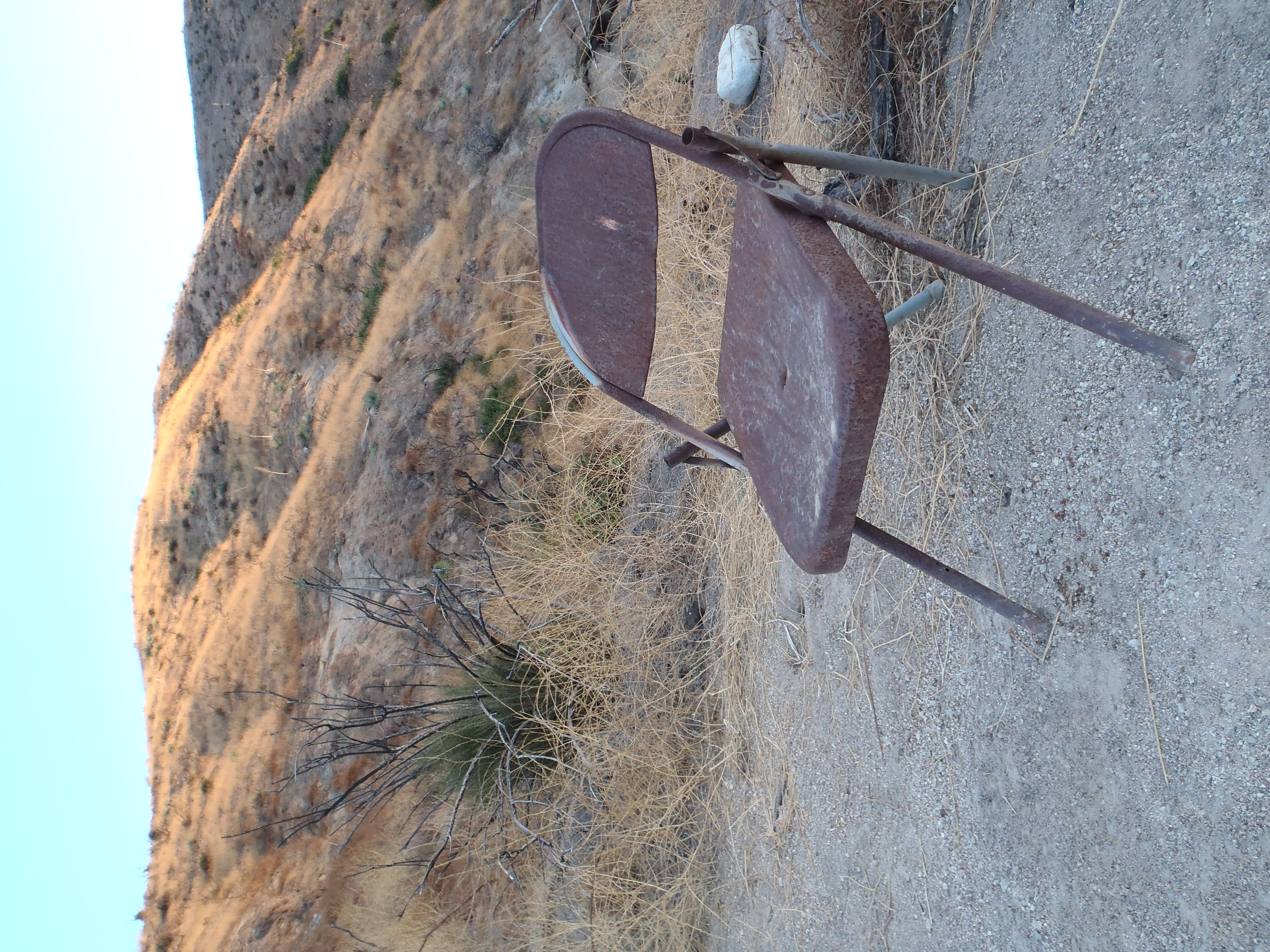
It ends at this old folding chair, where you can return via a more challenging ridgeline path that forms a lollipop route.
Or you can continue up the ridge cross-country.
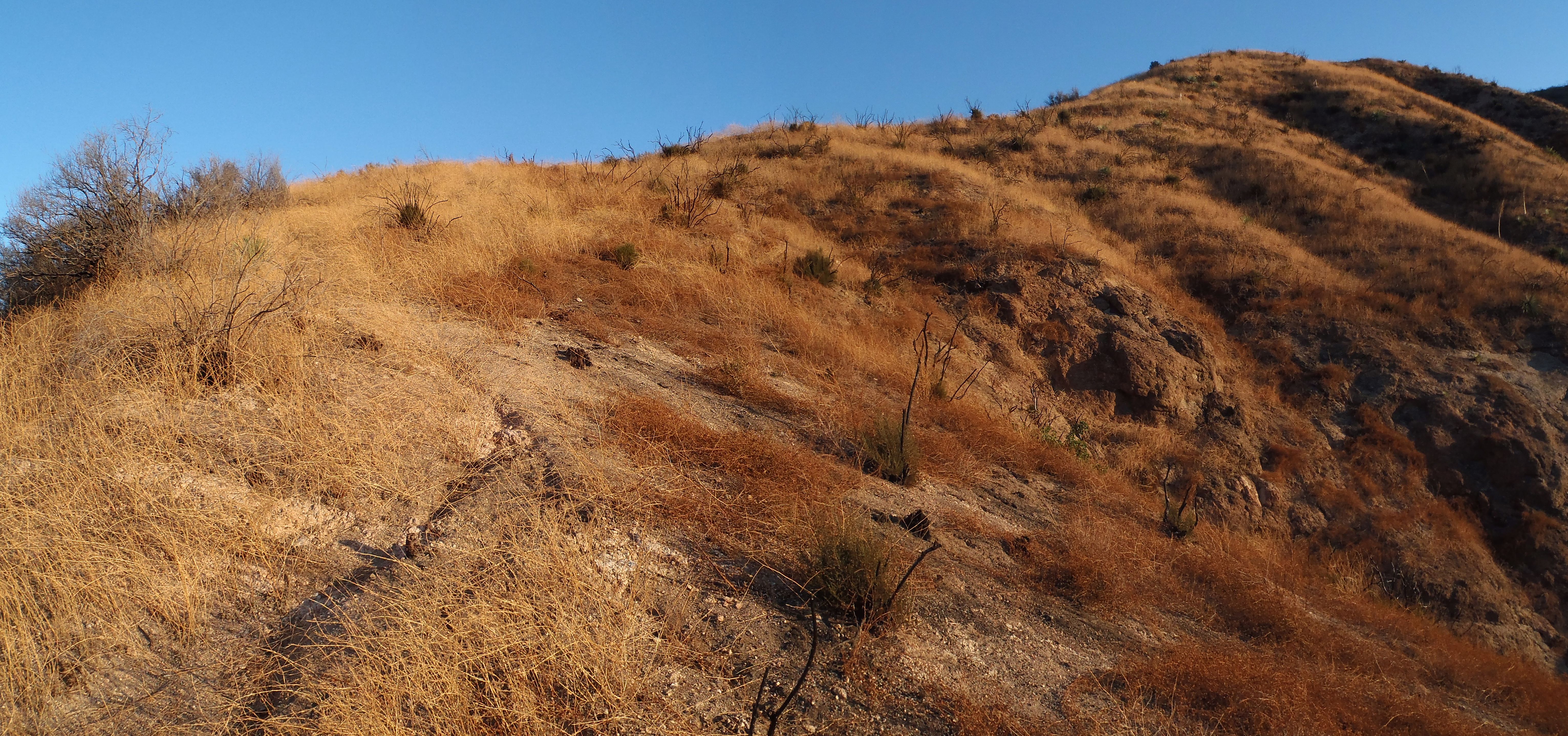
The views naturally increase in wowness. Looking across Susanna Canyon you can see the other workout trail on the opposite ridge.
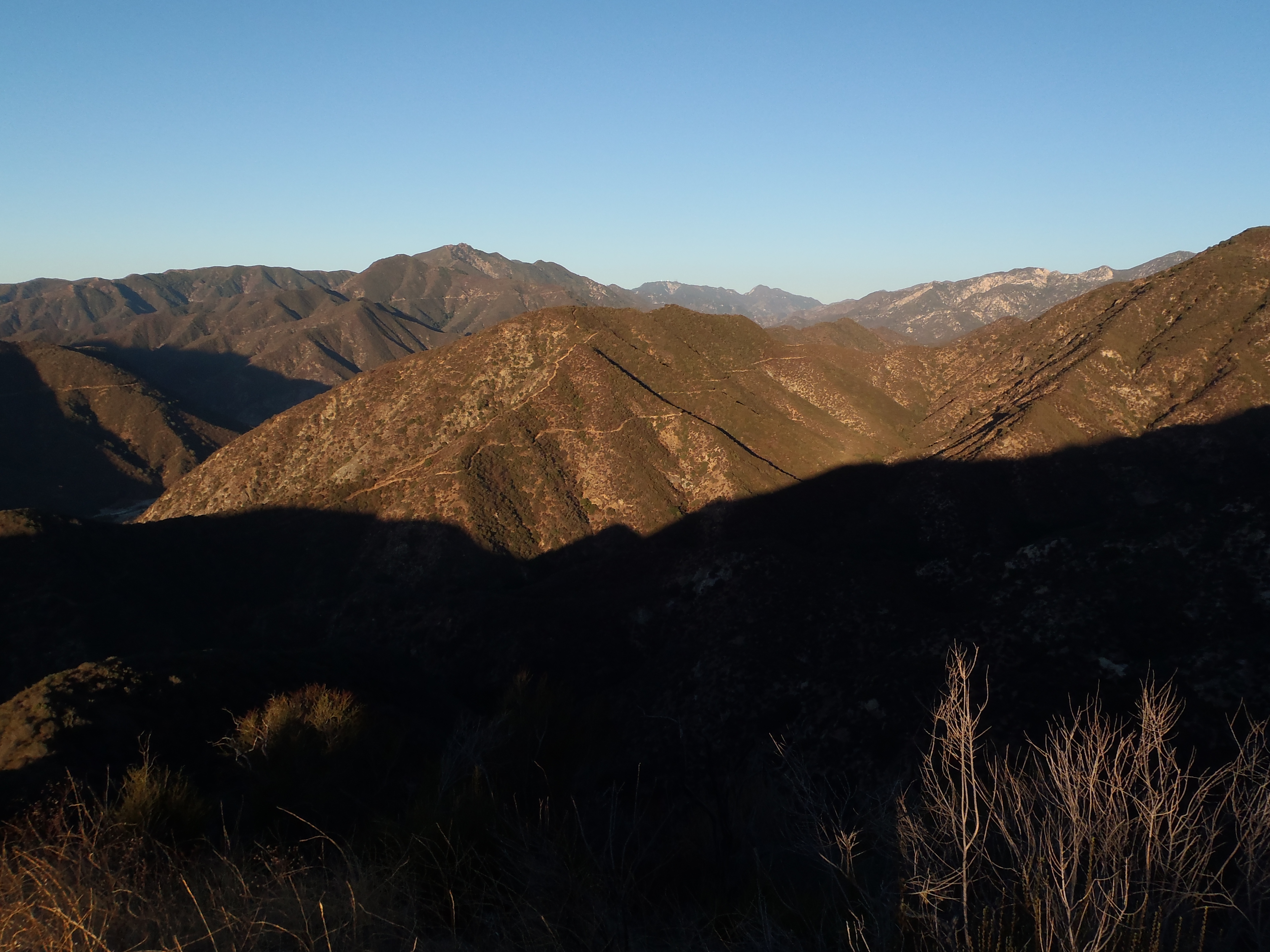
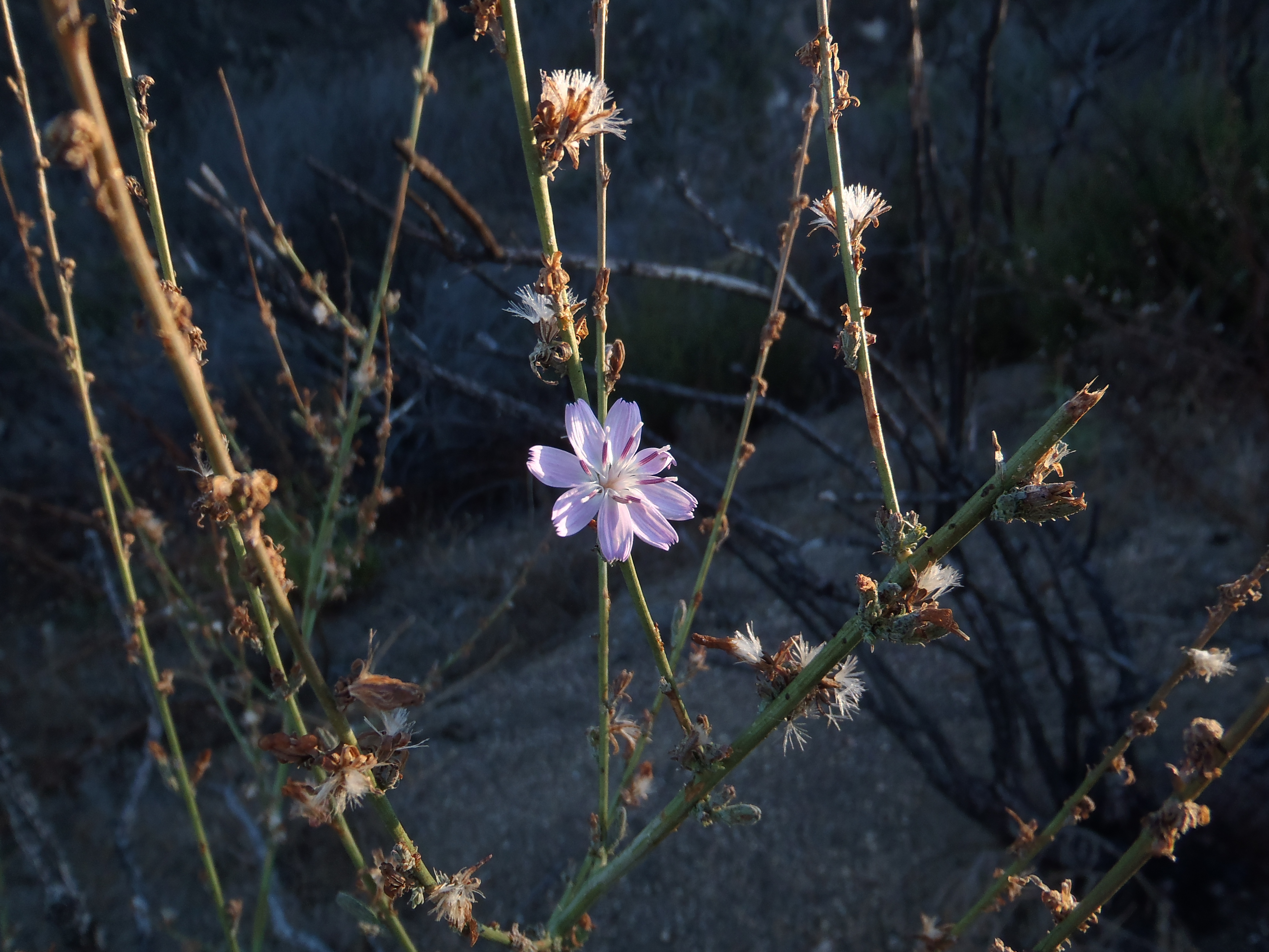
Although the Williams Fire devastated this area, new stuff is popping up.
The ridge itself seemed long and difficult to me, although I'm not in racing shape right now.

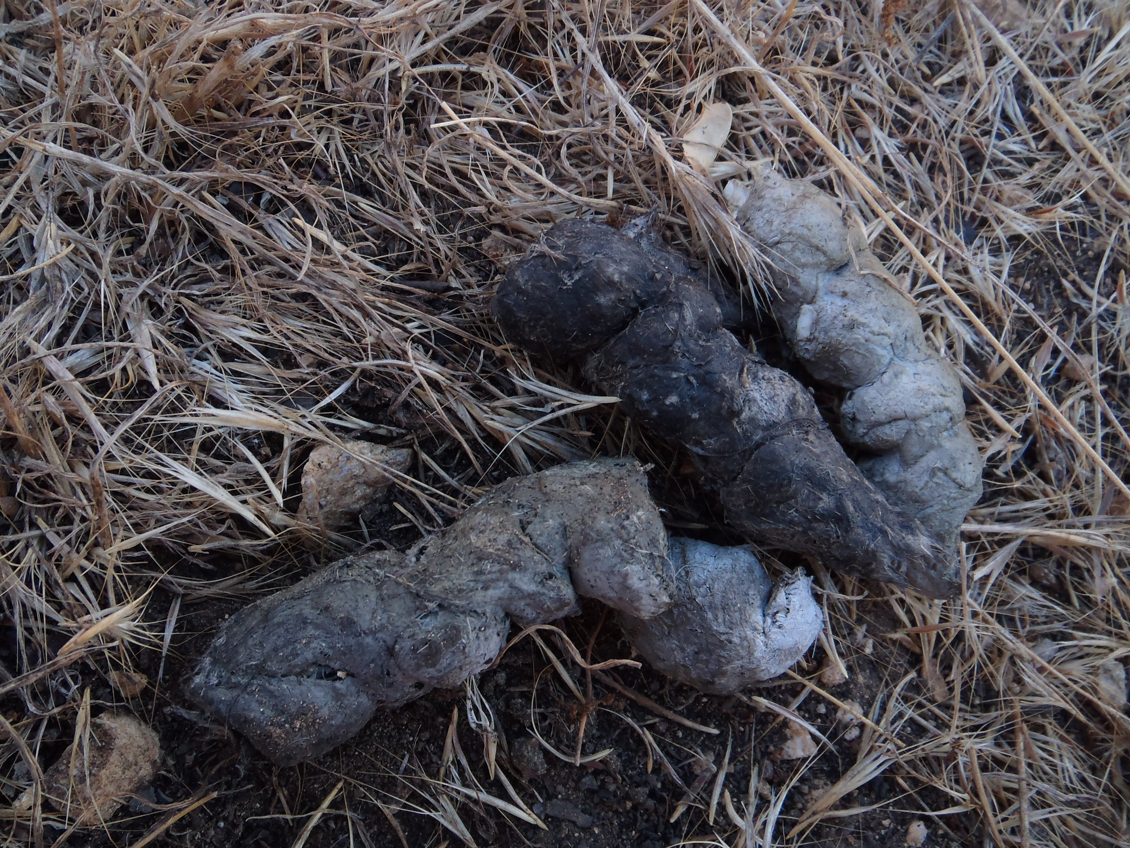
It seemed to go on forever. Thankfully there was some animal poop to admire.
And there is Doe Flat to check out.
But really the ridge does seem to go on forever.
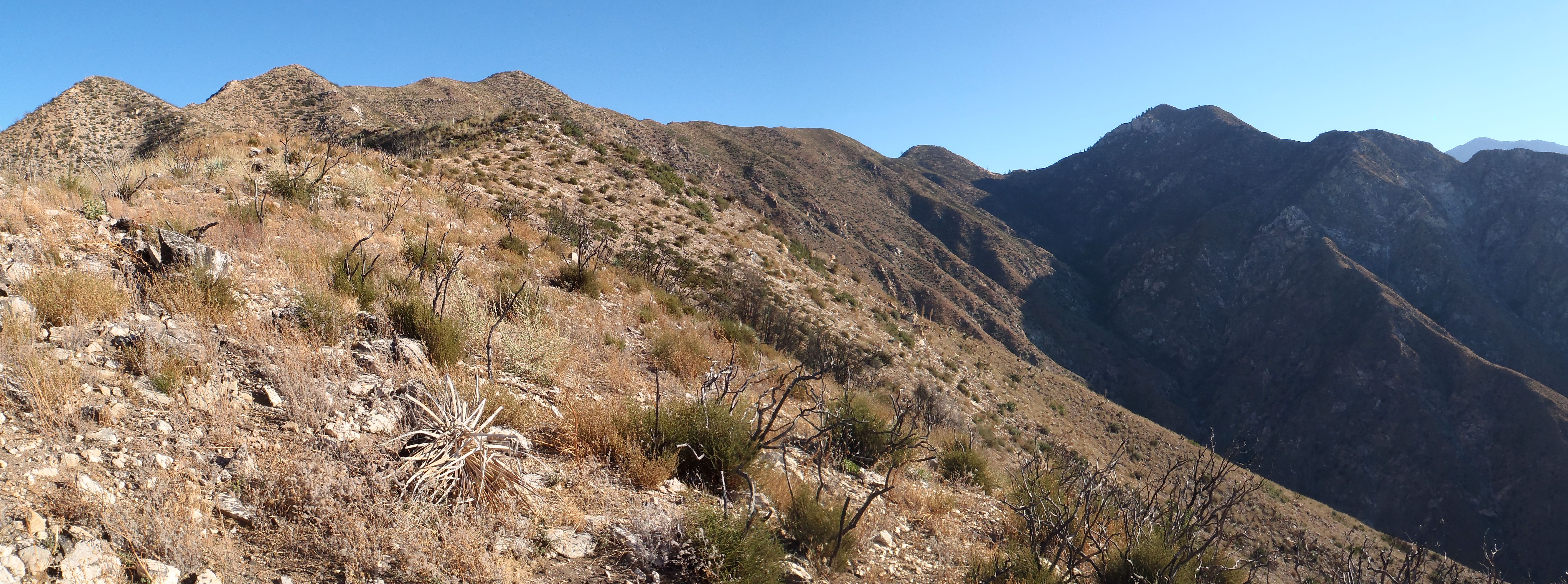
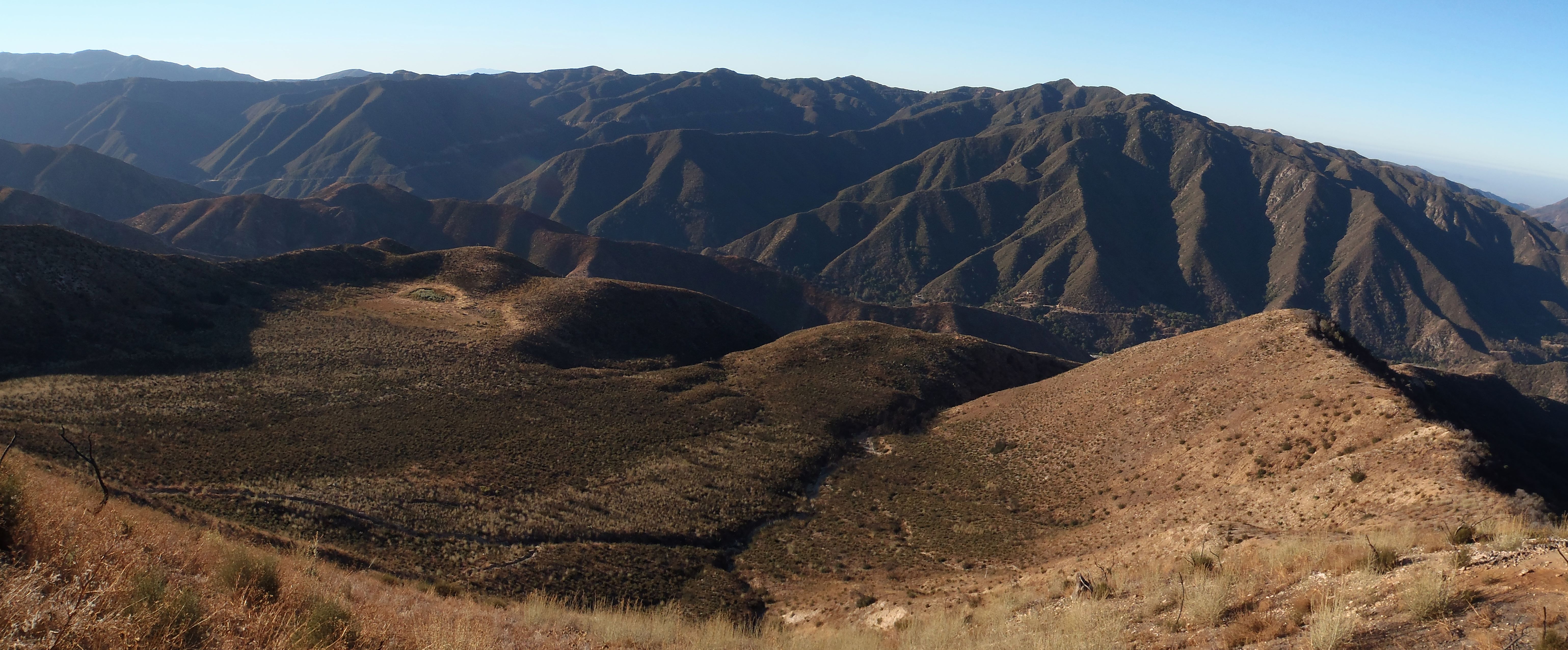
And there are all these bumps to go over before you reach Graveyard Saddle right before the final assault on Rattlesnake.

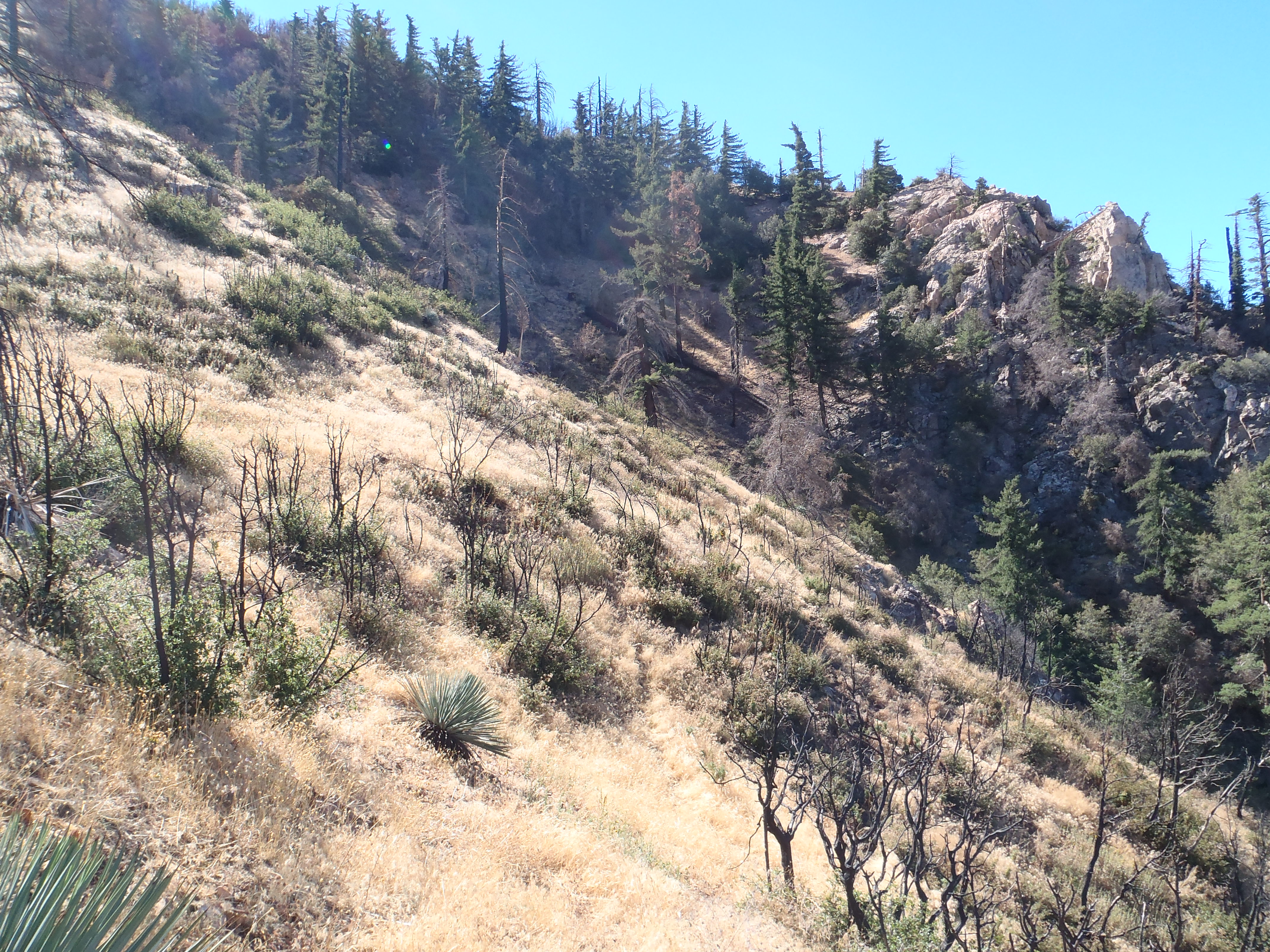
Maybe a third of the way up from Graveyard Saddle, there is an animal path that cuts across the gully and still-living trees here.
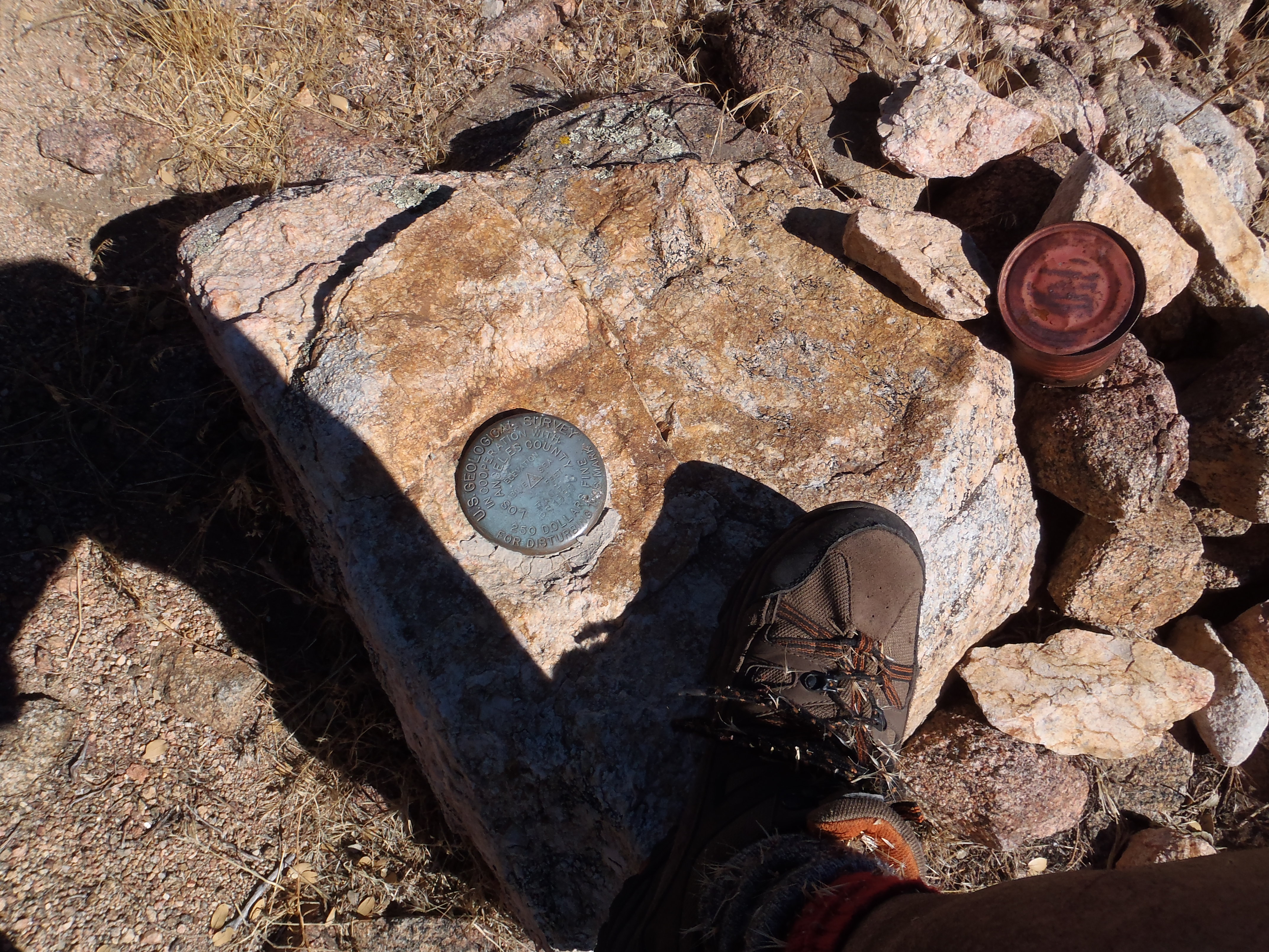
I used it to make my life a little easier. After 4.5 hours I finally reached Rattlesnake and did my thing.
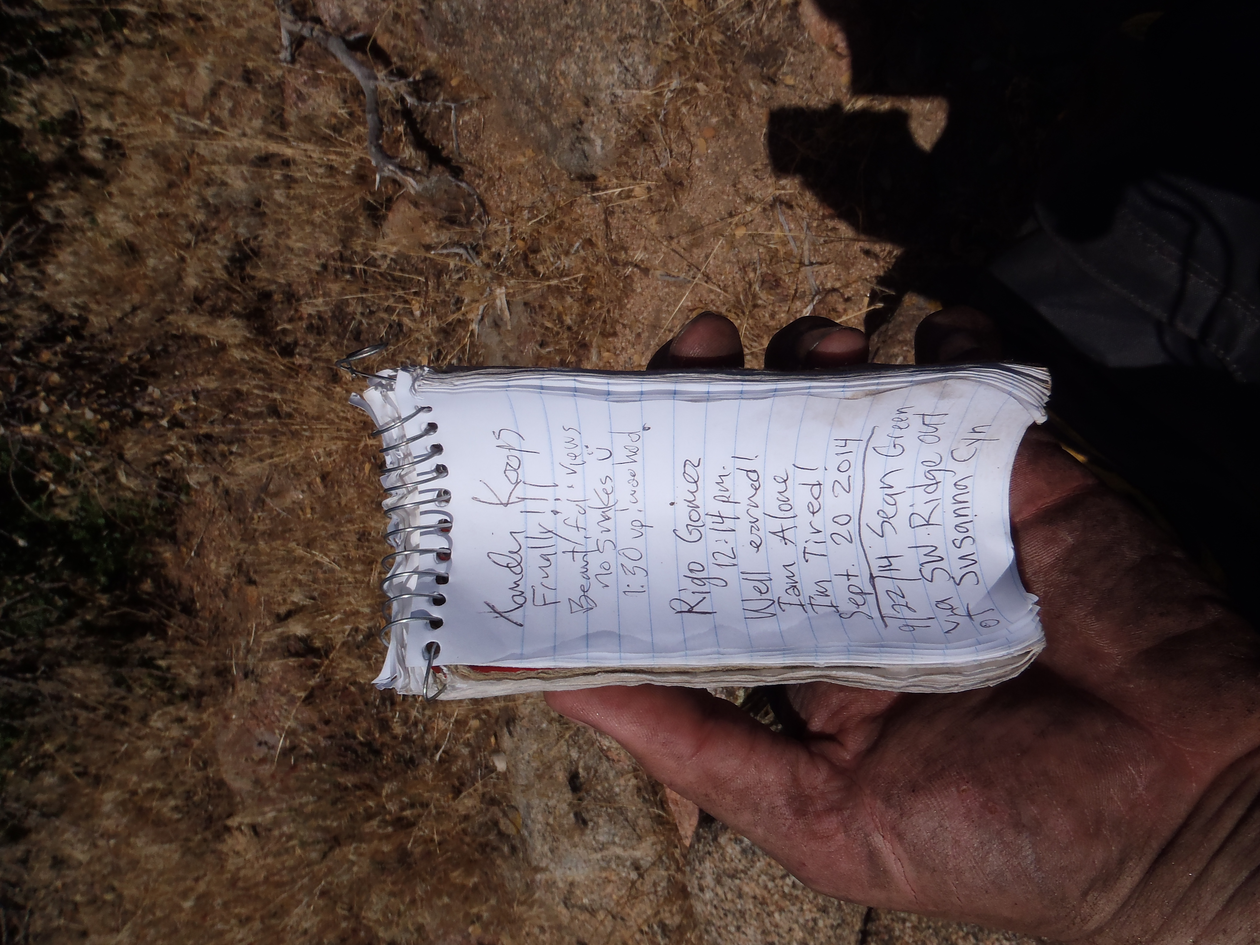
I was a filthy mess, which you can perhaps tell by the state of my hand in this shot.
I had brought only two liters of water, so I descended with nothing but a few sips left for an emergency. My hands were starting to numb-up, and the heat beat down on me, as I took the typical route down to Shoemaker Road.
After a brief rest in the shade at the Shoemaker gate, I started the zombie walk back to my car near Fire Camp 19. Fortunately, after only a mile of marching, a motorcyclist decided today was the day he had to check out Shoemaker Road, and I bummed a ride back to my car, where I threw down a half gallon of water and checked the time: 1:45pm.
The workout trail is worth a visit by itself. It has some cool steps and good views of the surrounding canyons and peaks.
It ends at this old folding chair, where you can return via a more challenging ridgeline path that forms a lollipop route.
Or you can continue up the ridge cross-country.
The views naturally increase in wowness. Looking across Susanna Canyon you can see the other workout trail on the opposite ridge.
Although the Williams Fire devastated this area, new stuff is popping up.
The ridge itself seemed long and difficult to me, although I'm not in racing shape right now.
It seemed to go on forever. Thankfully there was some animal poop to admire.
And there is Doe Flat to check out.
But really the ridge does seem to go on forever.
And there are all these bumps to go over before you reach Graveyard Saddle right before the final assault on Rattlesnake.
Maybe a third of the way up from Graveyard Saddle, there is an animal path that cuts across the gully and still-living trees here.
I used it to make my life a little easier. After 4.5 hours I finally reached Rattlesnake and did my thing.
I was a filthy mess, which you can perhaps tell by the state of my hand in this shot.
I had brought only two liters of water, so I descended with nothing but a few sips left for an emergency. My hands were starting to numb-up, and the heat beat down on me, as I took the typical route down to Shoemaker Road.
After a brief rest in the shade at the Shoemaker gate, I started the zombie walk back to my car near Fire Camp 19. Fortunately, after only a mile of marching, a motorcyclist decided today was the day he had to check out Shoemaker Road, and I bummed a ride back to my car, where I threw down a half gallon of water and checked the time: 1:45pm.