Exploring the Heaton-Shoemaker Connector
Posted: Sun Nov 10, 2013 12:05 pm
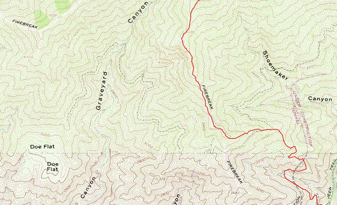
Somebody abandoned the Heaton-Shoemaker Connector road many, many years ago. Quite overgrown, it can still be seen from the Heaton Flat Trail.
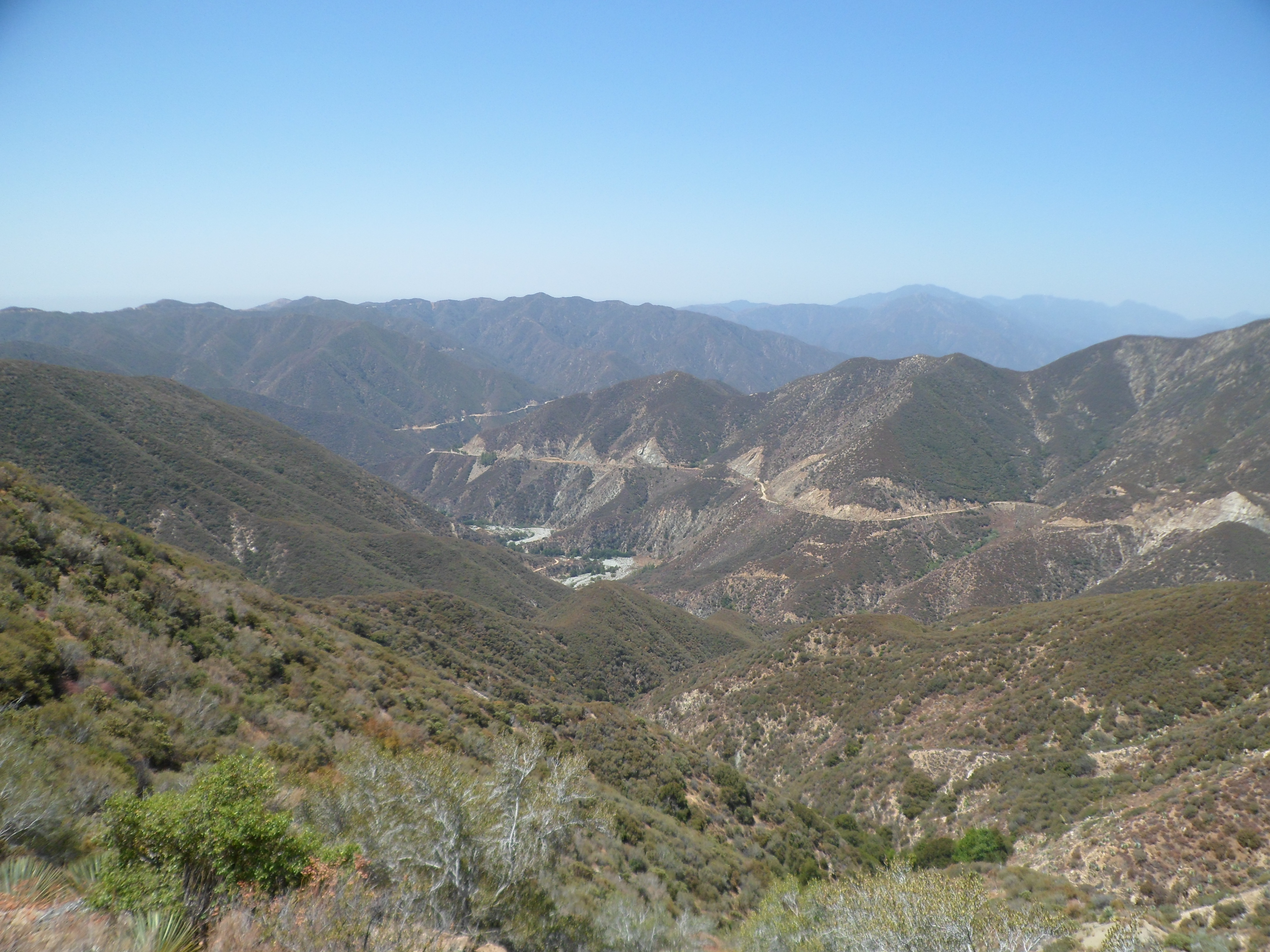
Approximately 400 feet south of the Heaton Flat Trailhead, a use path drops from the fire road down into the broad East Fork wash. This is where the old connector started, crossed the river, and climbed gently up the slope, before switchbacking a couple times to Shoemaker Road.

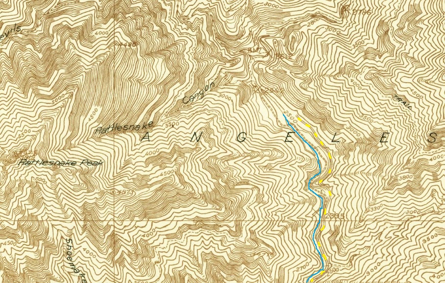
On the topo map, the connector appears unfinished. But aerial photos indicate that workers actually completed most or all of it.
Hoping to find a shortcut to the first switchback, I crossed the river at the East Fork Trailhead and attempted to ascend a minor gully.
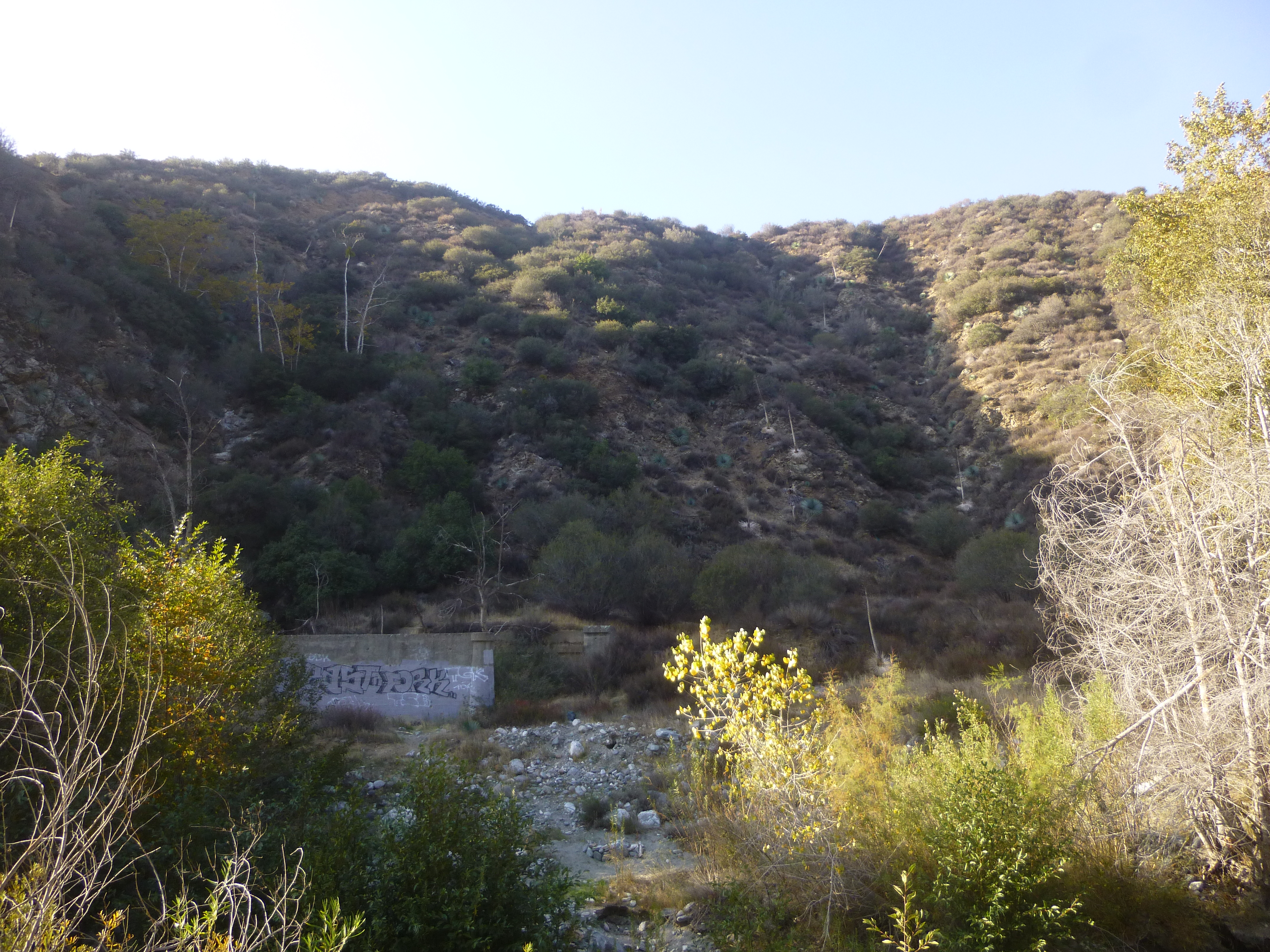
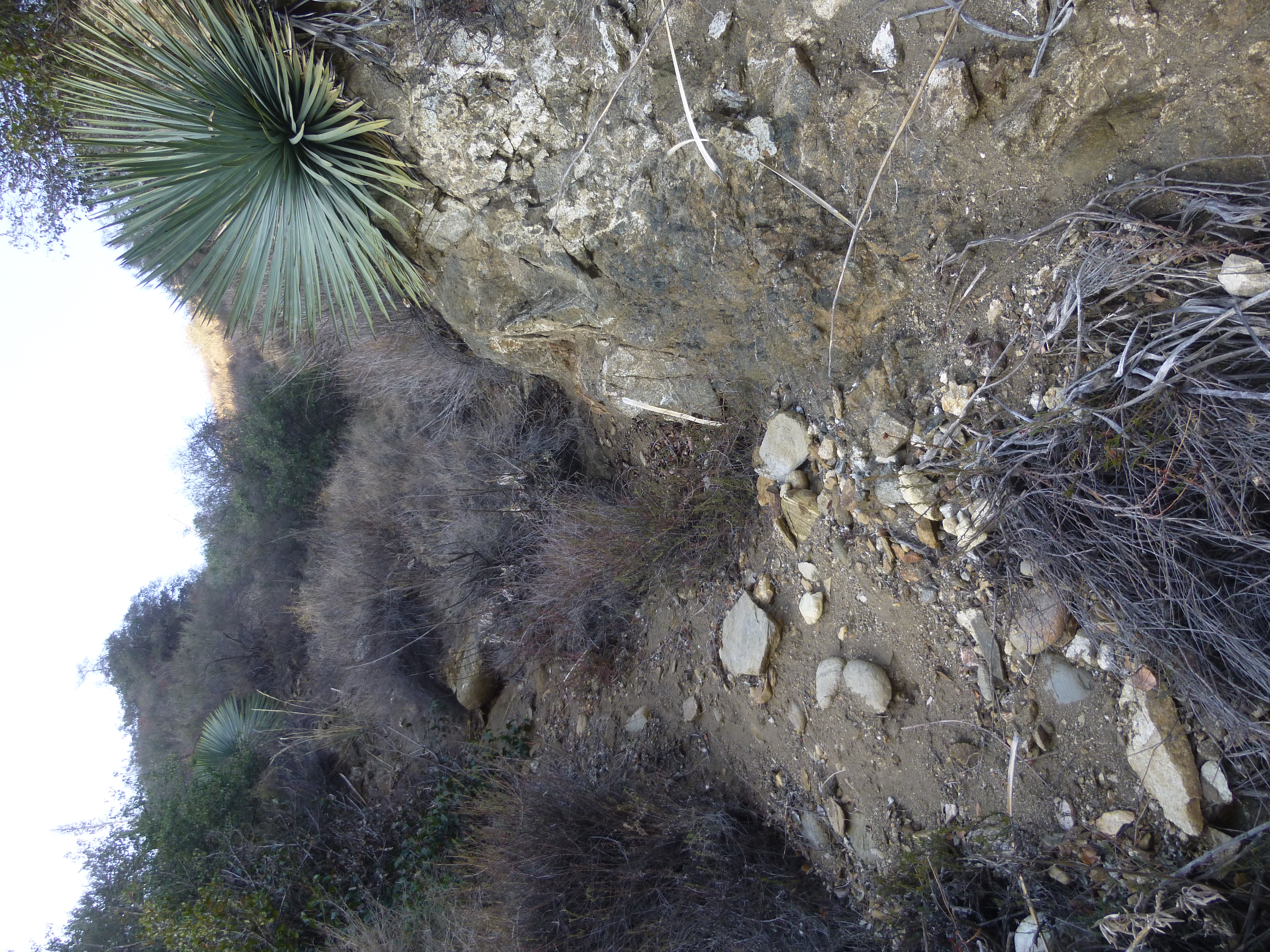
The steep gully became more and more annoying with unstable holds. One could probably continue struggling upward, but I was searching for an easier way and thus turned back 100 feet from the connector.
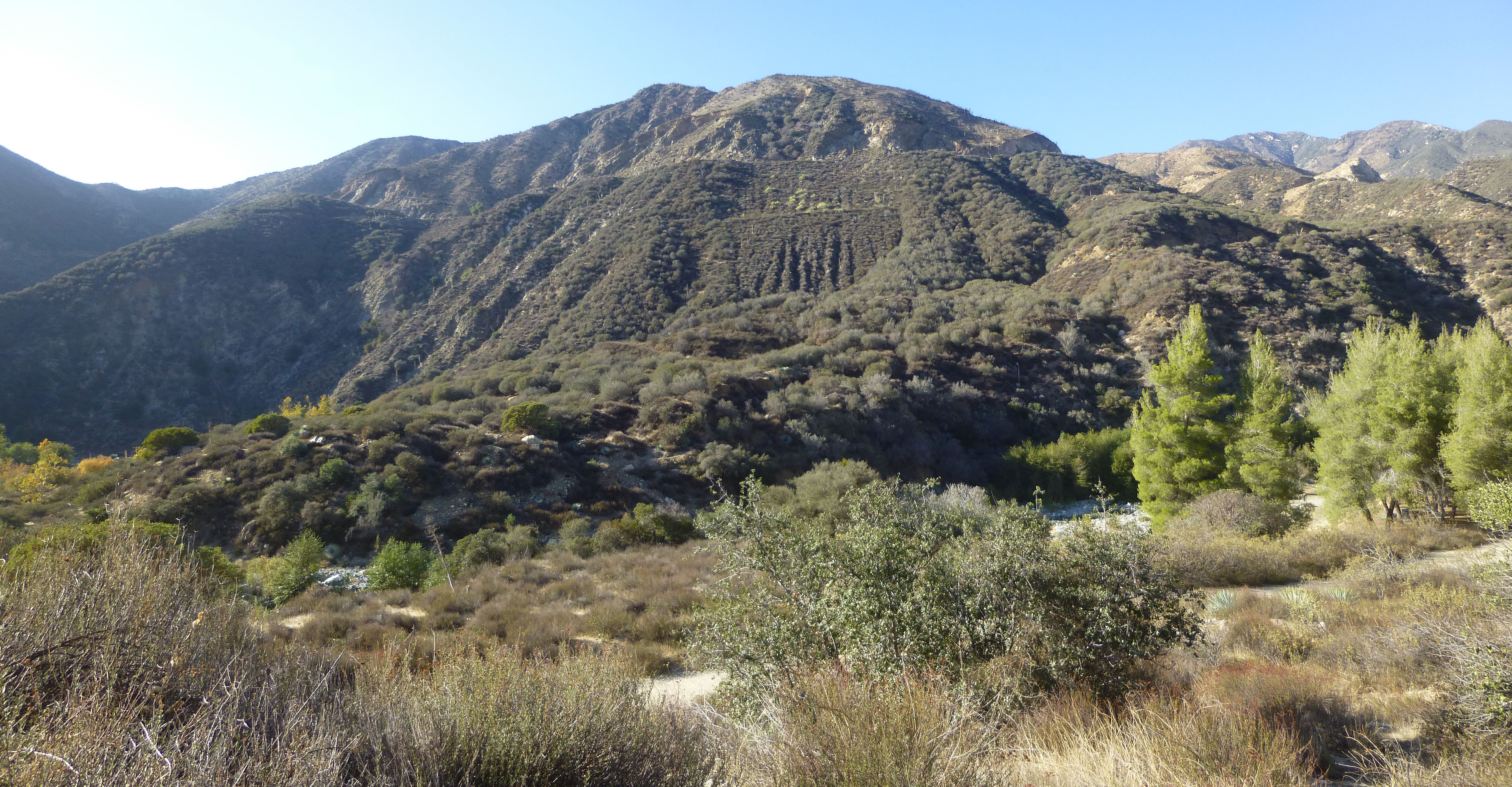
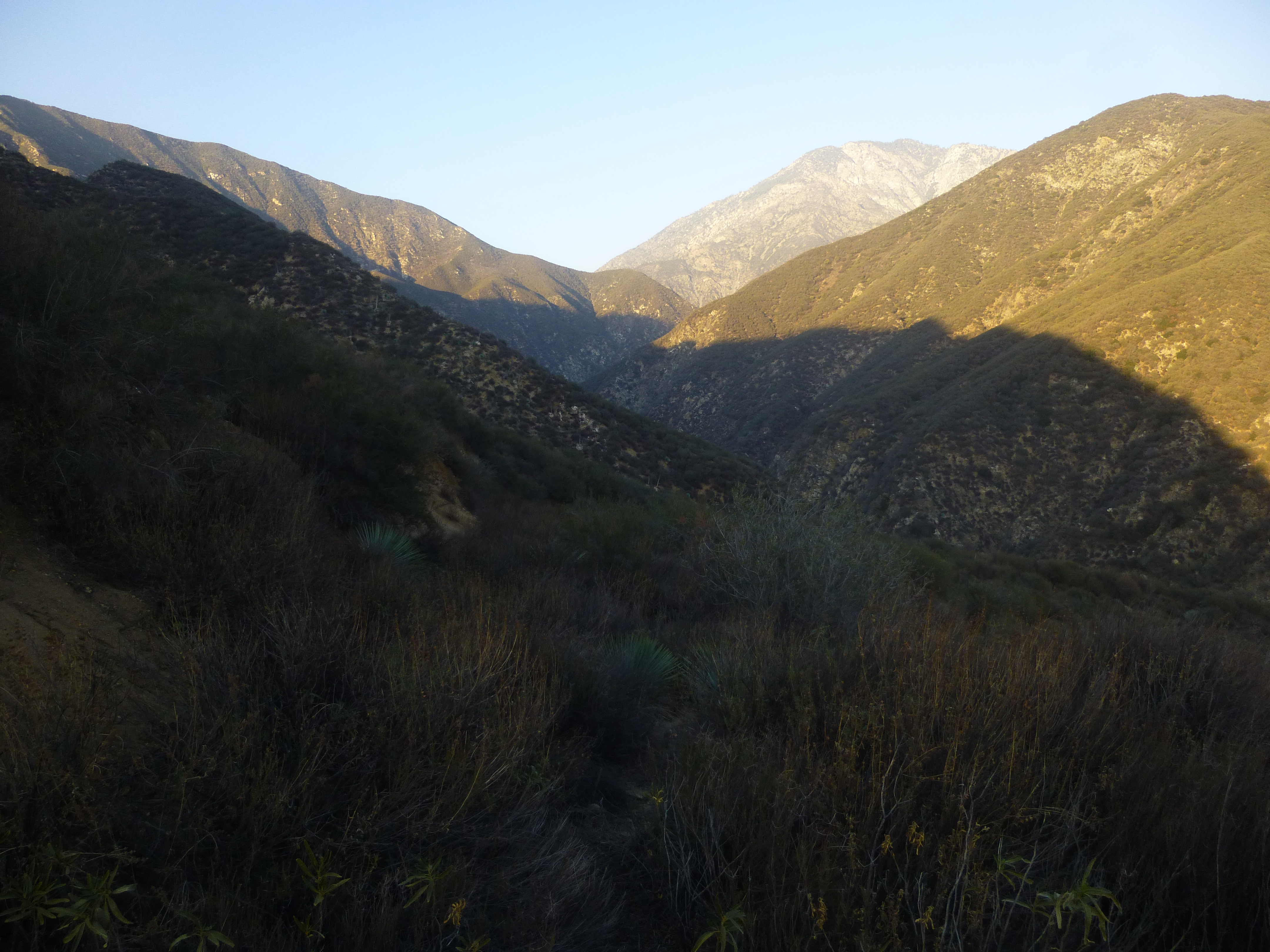
Again at the river, on the west bank, I followed an old trail upstream to the next gully, which actually had a faint use trail leading up a steep but more moderate and stable slope. This route led fairly directly to the spur ridge separating the two gullies. Here was a nice vista point (marked on my map with a camera symbol), and an old telephone pole still stood among the brush.

A bit of bushwhacking took me to the connector's first switchback (2300'), located about 100 feet up the spur.
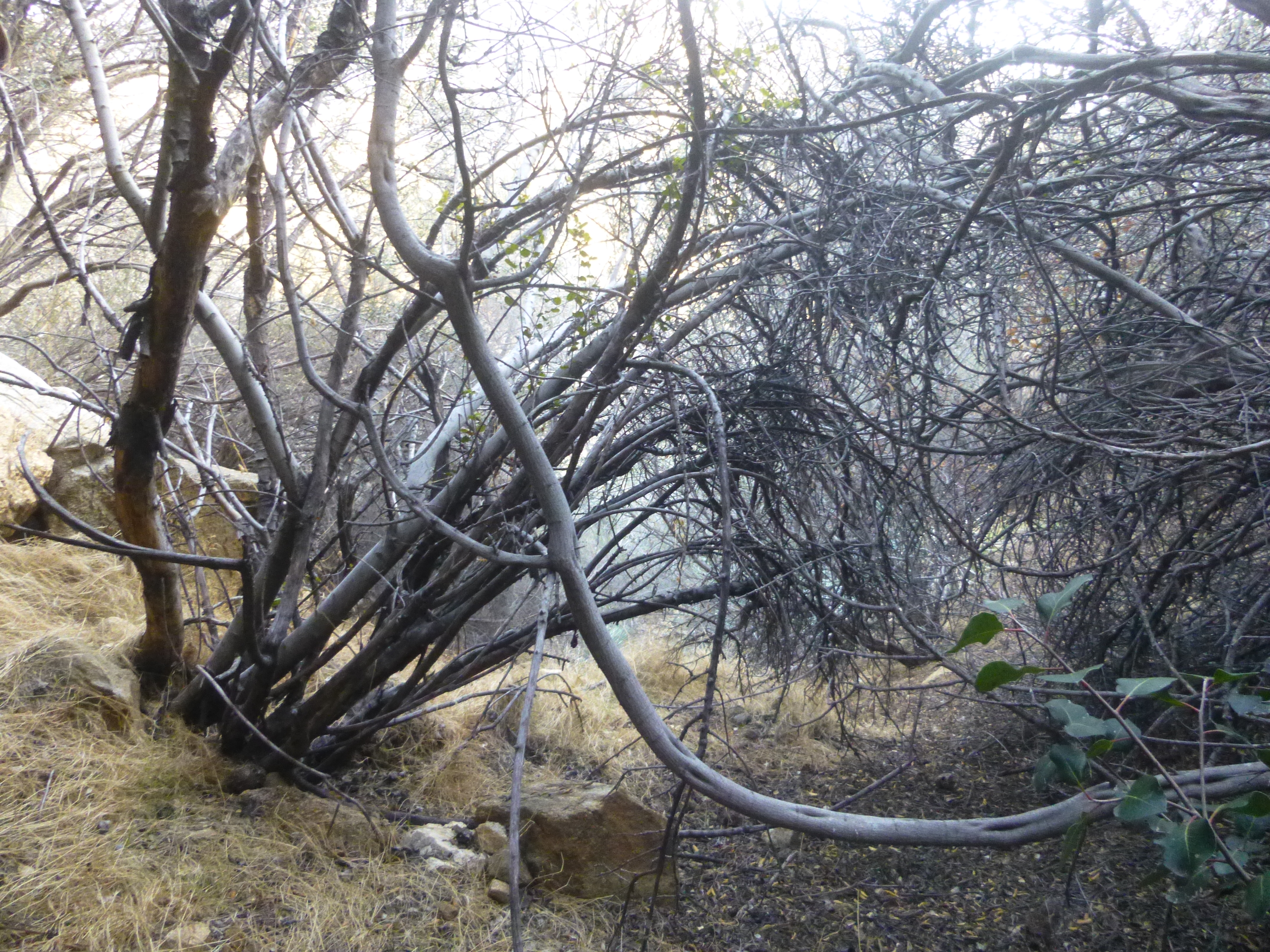
Brush now owns the road, but a use trail weaves around most of the thick stuff. I only ascended to the second switchback (2360') due to time. A little gully served as a shortcut descending from the second switchback to a point (2200') lower down on the road.
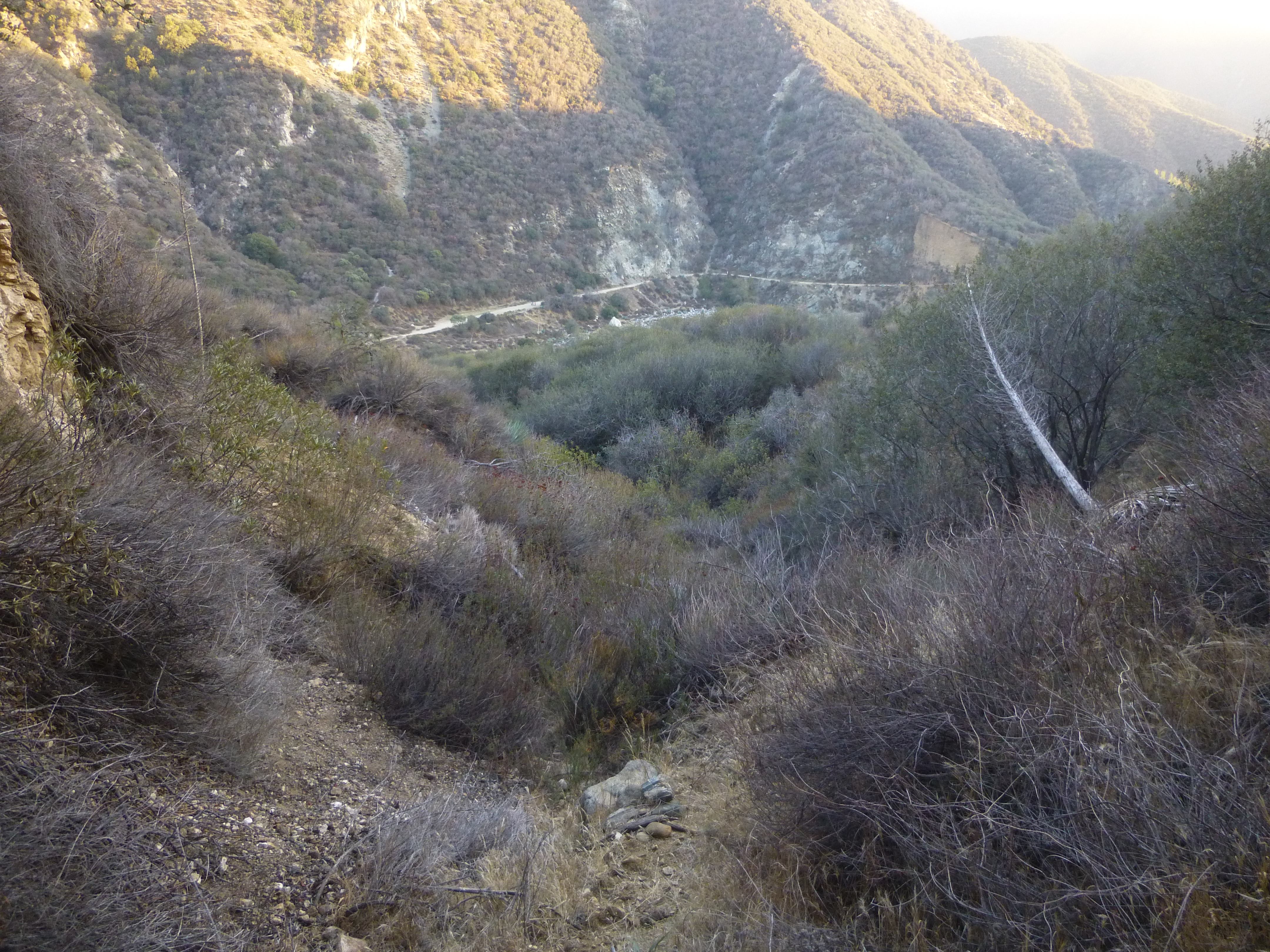
I then followed the road a bit more before losing it around 2100', probably from lack of attention, though the route does become more obscure closer to the streambed. Ultimately I pushed through another little gully and made it to the East Fork, where I washed my filthy face.

Approximately 400 feet south of the Heaton Flat Trailhead, a use path drops from the fire road down into the broad East Fork wash. This is where the old connector started, crossed the river, and climbed gently up the slope, before switchbacking a couple times to Shoemaker Road.

On the topo map, the connector appears unfinished. But aerial photos indicate that workers actually completed most or all of it.
Hoping to find a shortcut to the first switchback, I crossed the river at the East Fork Trailhead and attempted to ascend a minor gully.
The steep gully became more and more annoying with unstable holds. One could probably continue struggling upward, but I was searching for an easier way and thus turned back 100 feet from the connector.
Again at the river, on the west bank, I followed an old trail upstream to the next gully, which actually had a faint use trail leading up a steep but more moderate and stable slope. This route led fairly directly to the spur ridge separating the two gullies. Here was a nice vista point (marked on my map with a camera symbol), and an old telephone pole still stood among the brush.

A bit of bushwhacking took me to the connector's first switchback (2300'), located about 100 feet up the spur.
Brush now owns the road, but a use trail weaves around most of the thick stuff. I only ascended to the second switchback (2360') due to time. A little gully served as a shortcut descending from the second switchback to a point (2200') lower down on the road.
I then followed the road a bit more before losing it around 2100', probably from lack of attention, though the route does become more obscure closer to the streambed. Ultimately I pushed through another little gully and made it to the East Fork, where I washed my filthy face.
