Page 1 of 1
Surviving San Antonio Ridge
Posted: Mon Oct 21, 2013 8:00 am
by Sean
Initially a foursome, we concluded the day as two twosomes, each heading in opposite directions from Gunsight Notch.
---
Our Sunday epic started at 6am by leaving a couple cars at the East Fork and driving the Glendora Mountain Road to Baldy, where we parked at Manker Flats and prepared for a very long day. Later we would discover that some of us didn't prepare as well as we had thought. For example, I forgot my flashlight, which was left sitting in the passenger seat of my car. Doh!
Reaching the Ski Hut took a little over an hour. We stocked up on water and made the Baldy summit by 10:30am.
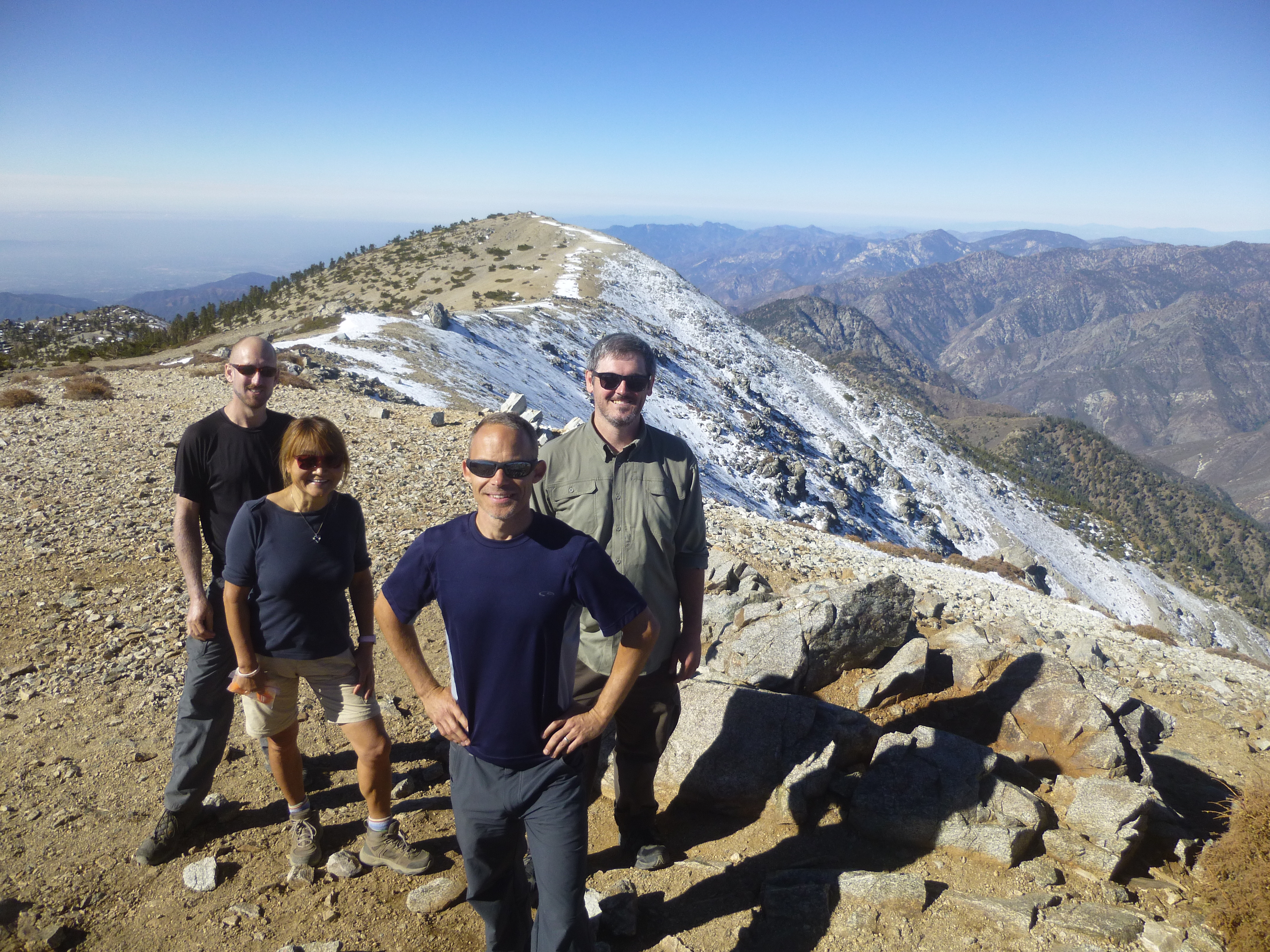
After some food and a traverse of West Baldy, it was time for the majestic San Antonio Ridge.
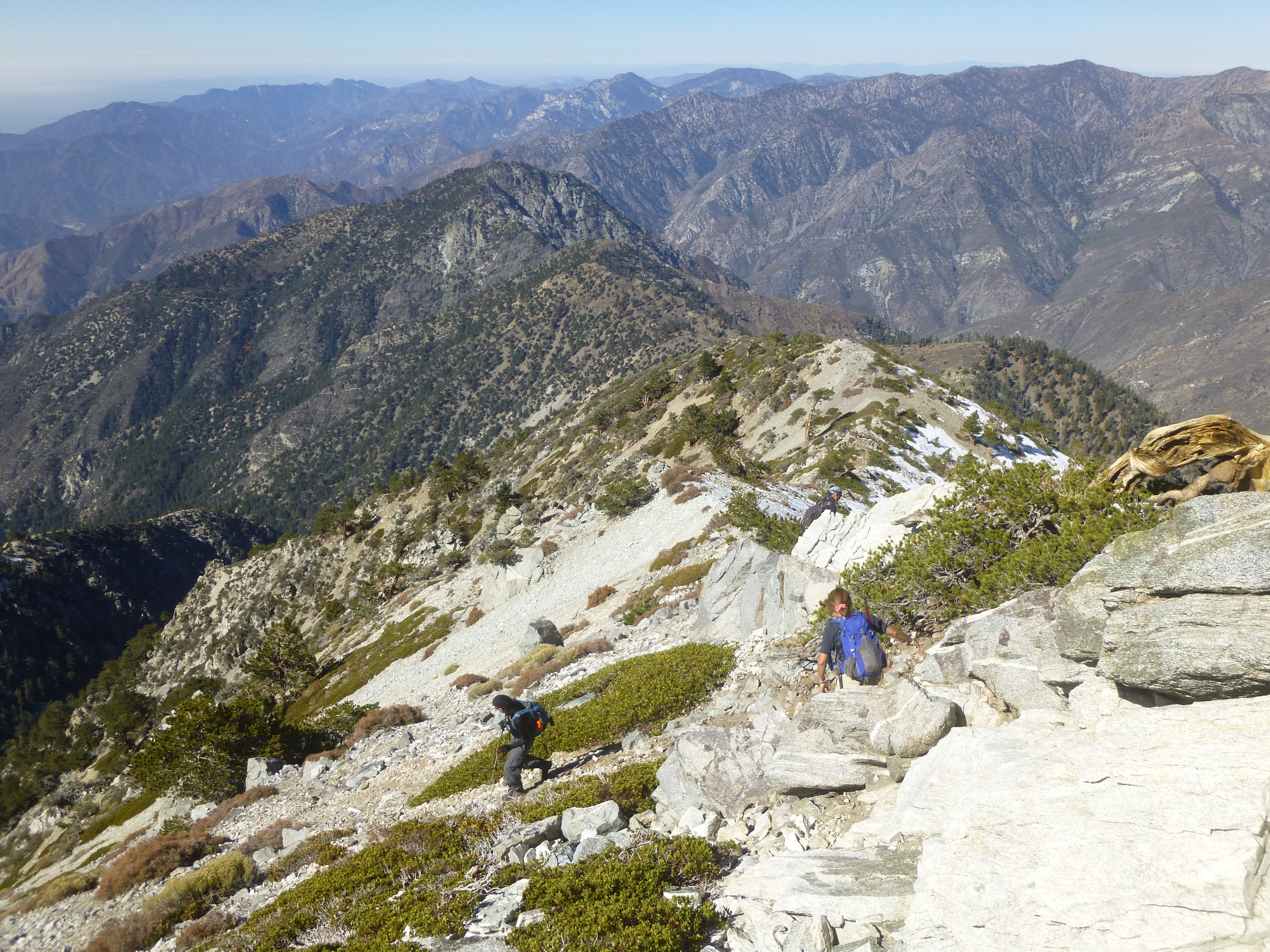
Some snow and ice covered large sections of the use trail. At times we wished for microspikes, though none appeared.
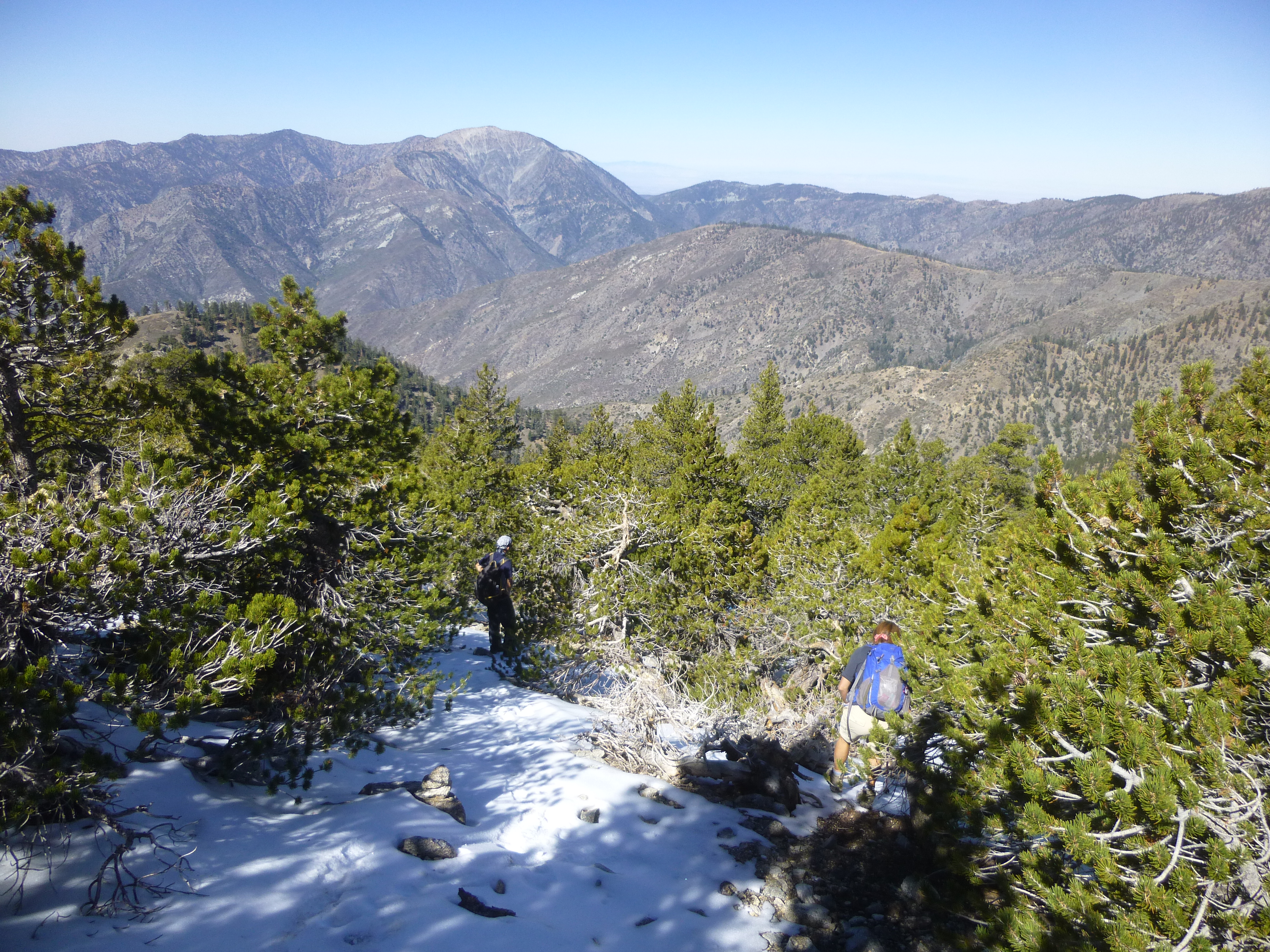
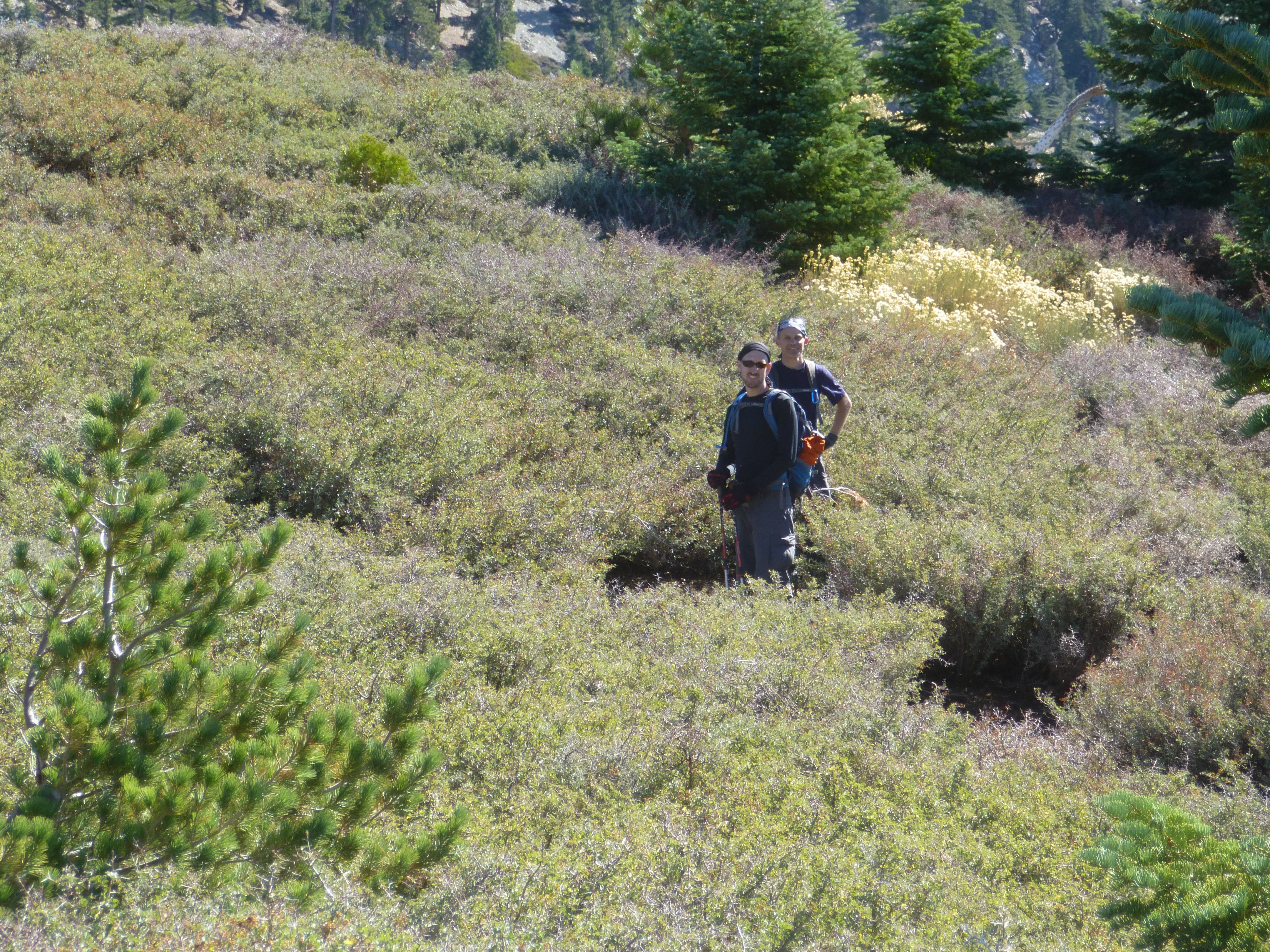
After a long, steep drop over scree and big boulders, we plummeted some more down a forested slope. Then came the flattish, rolling part with lots of thorns. Two of us found trails around the worst of the thorns. But the other two seemed to enjoy the abuse.
Peak 7758 looked like a good place to stop for a meal.
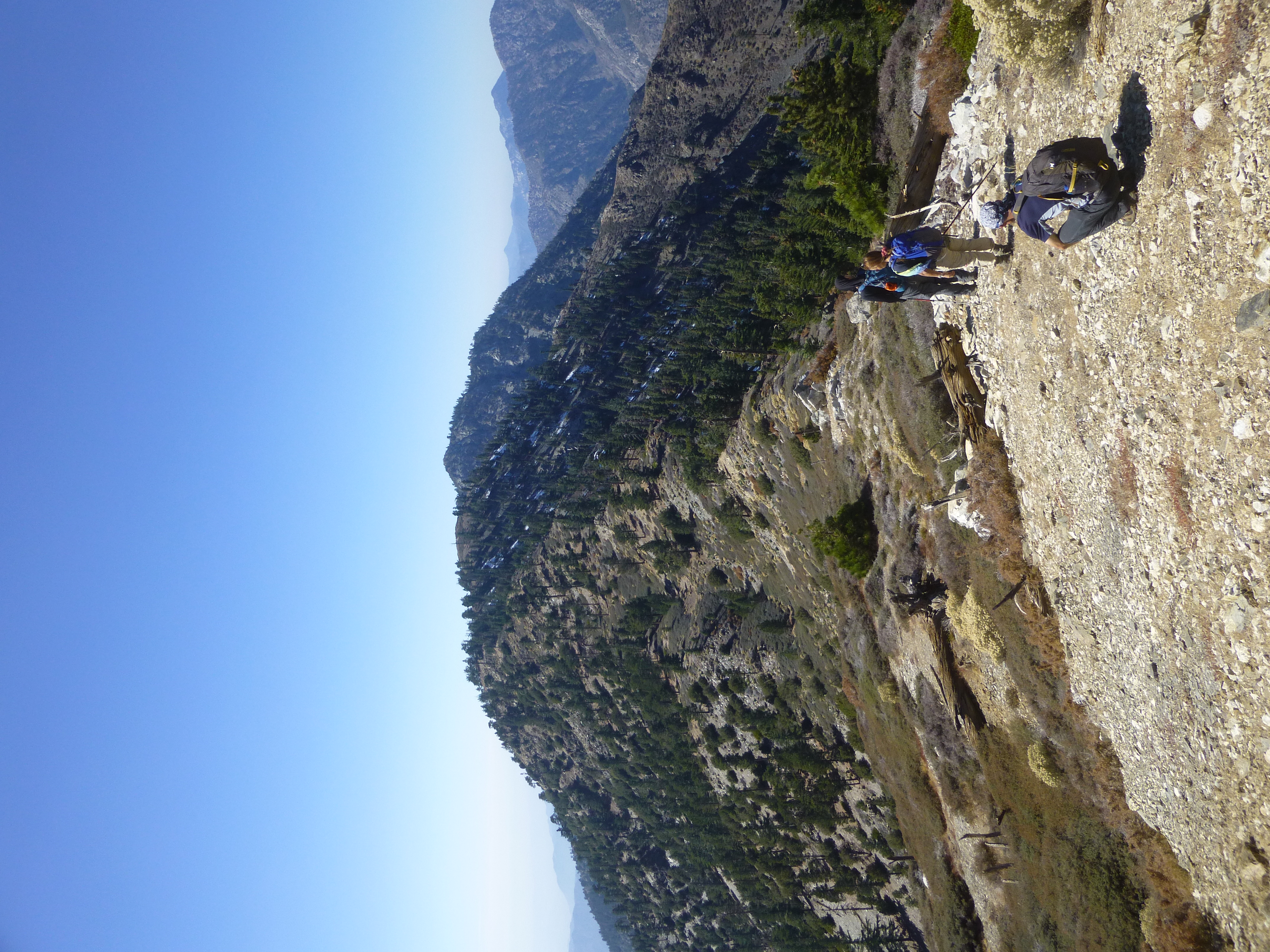
I showed everyone how to eat spaghetti with your hands, then we descended to Gunsight Notch.
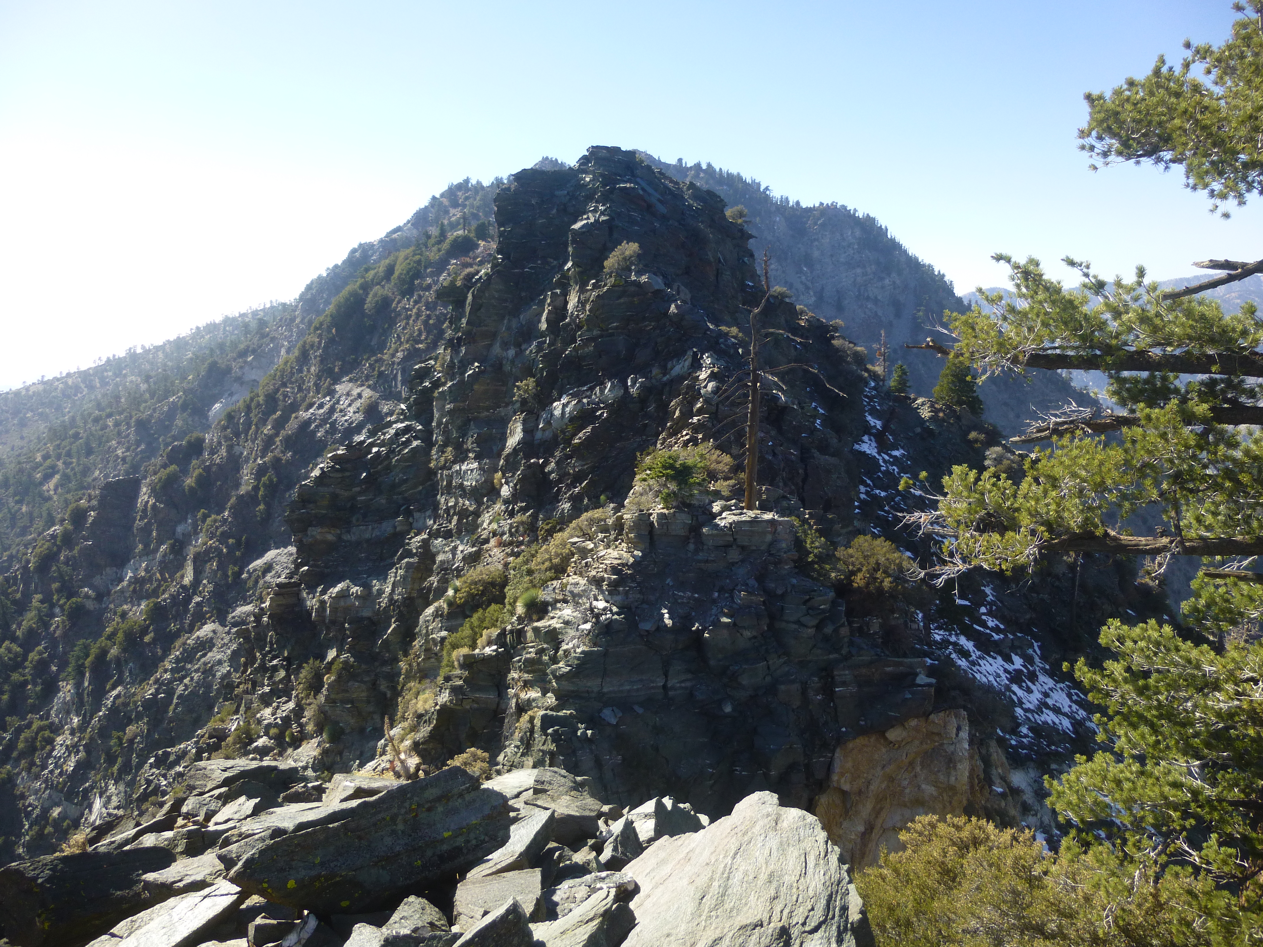
If you've ever watched a cartoon where the character's eyeballs pop out of their sockets, then you can imagine our reaction to Gunsight Notch. We searched for the fabled gully bypass, but could not see anything other than Mr. Death grinning wickedly on either side of the terrifyingly exposed cliffs.
Eventually I concluded that the safest route was simply straight up the spine of the ridge. This, however, would require class 3/3+ climbing with death-defying exposure on either side. It was too much for two of our party, and they turned back to Baldy rather than risk life and limb.
Which left two crazy people to tackle the Notch.
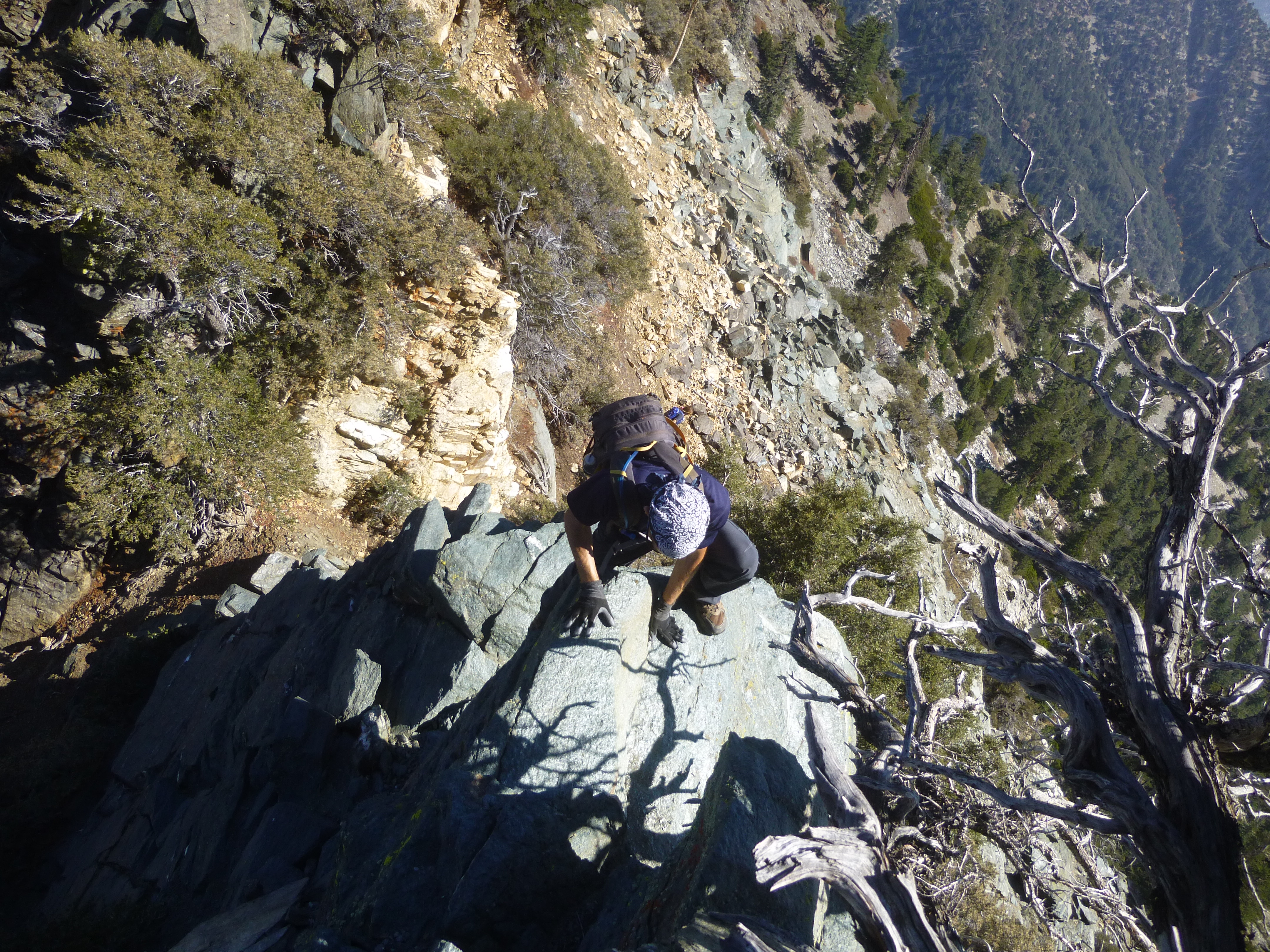
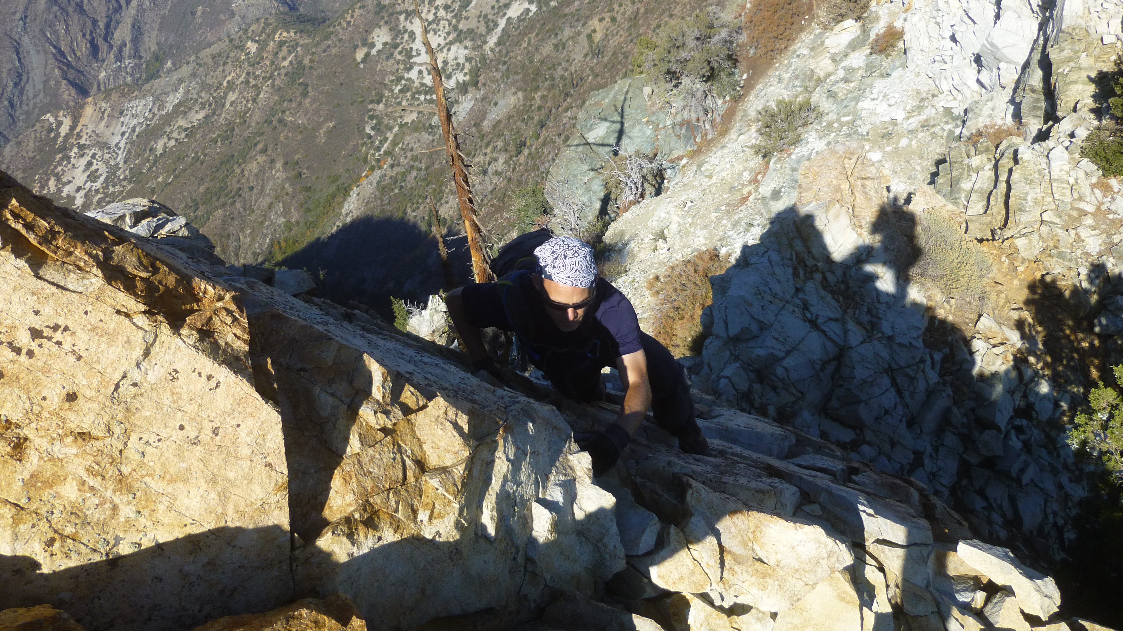
We survived the initial hair-raising part, climbing vertical or near-vertical faces with good holds. Subsequent sections proved easier but were still a little frightening.
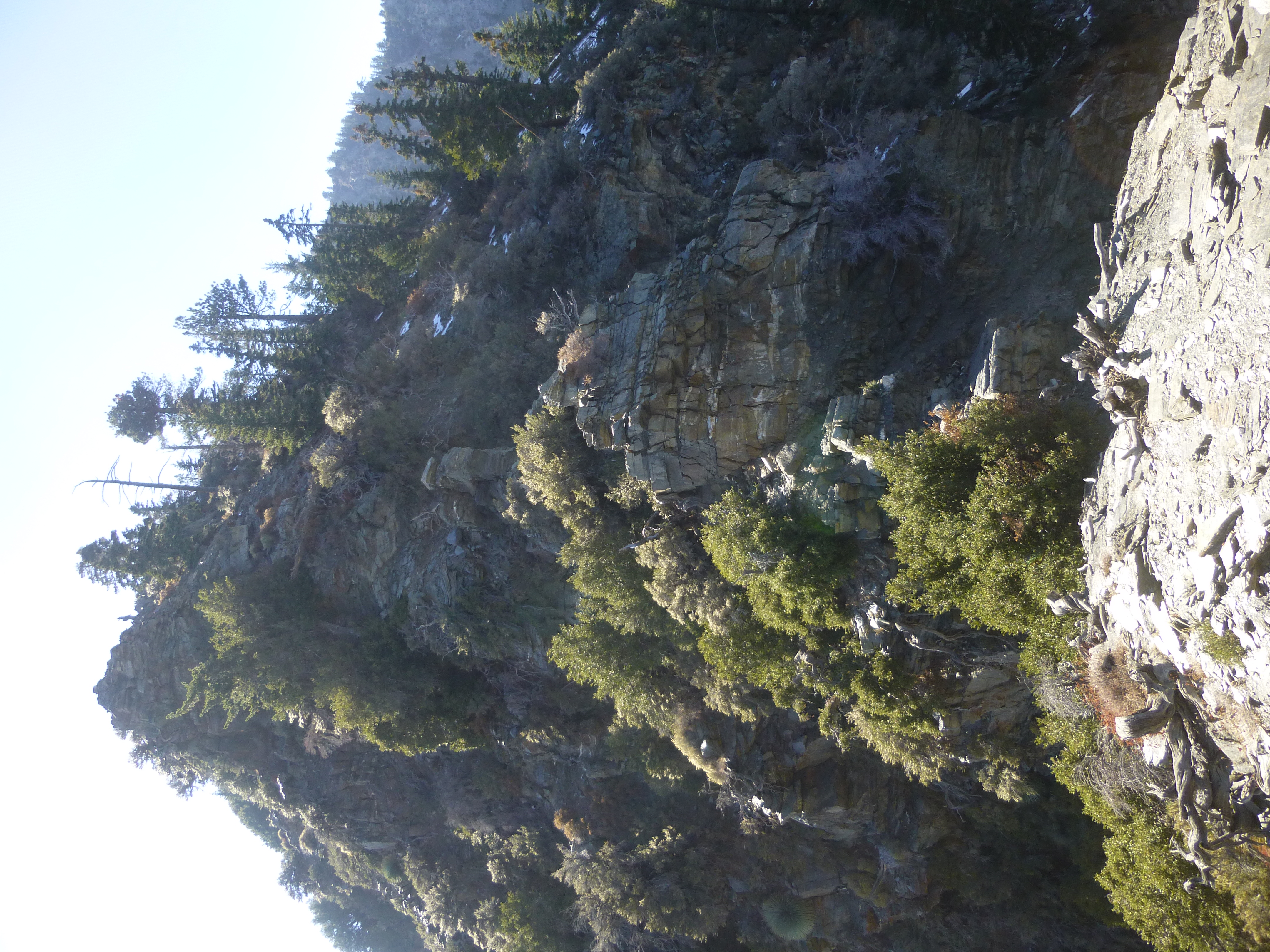
After the Notch the ridge rewarded us with a relatively easy use trail ascending the remaining elevation to Iron. Still I had to pause several times to catch my breath after expending so much effort.
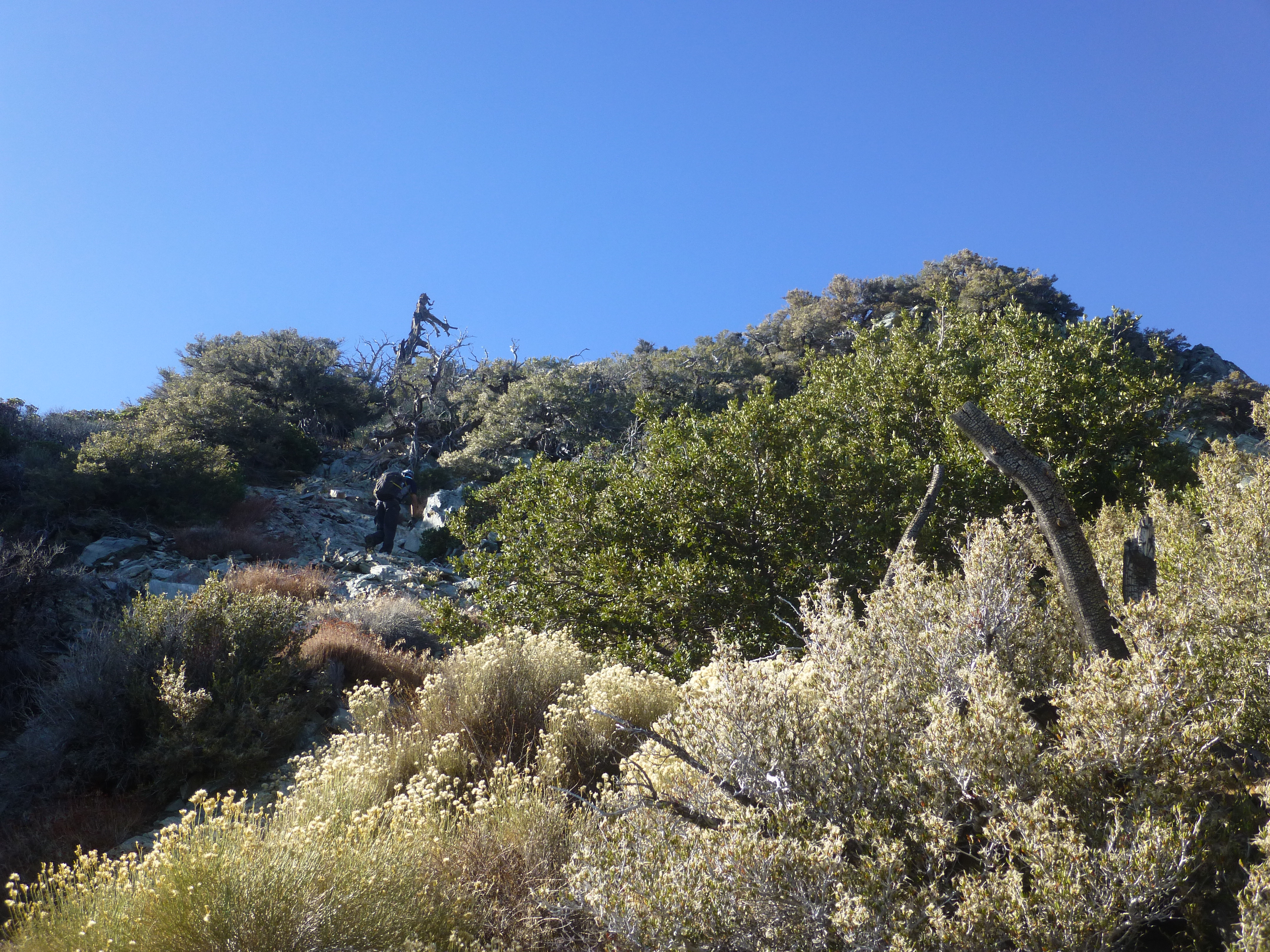
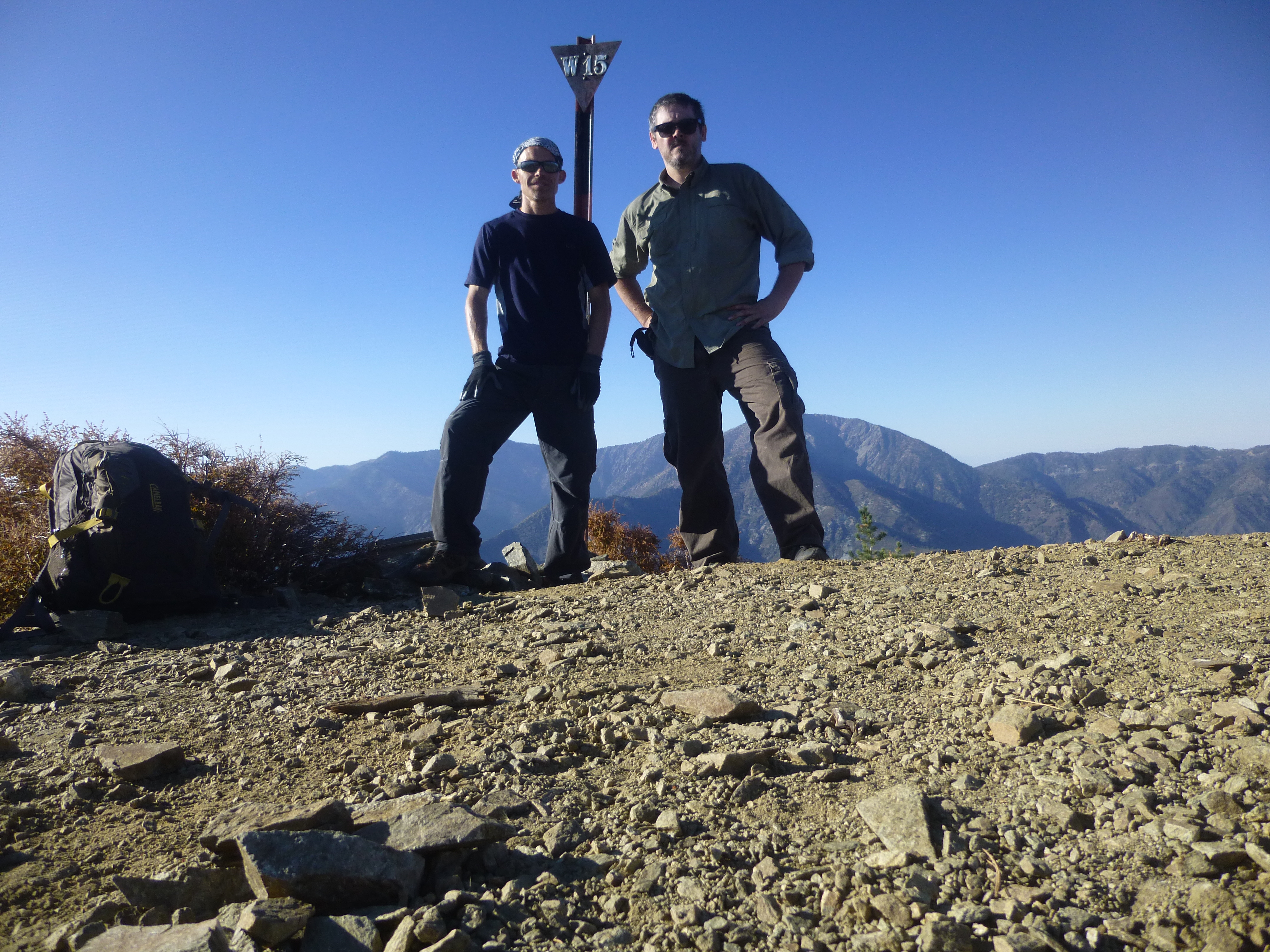
By 4pm we stood upon the summit and signed the register.
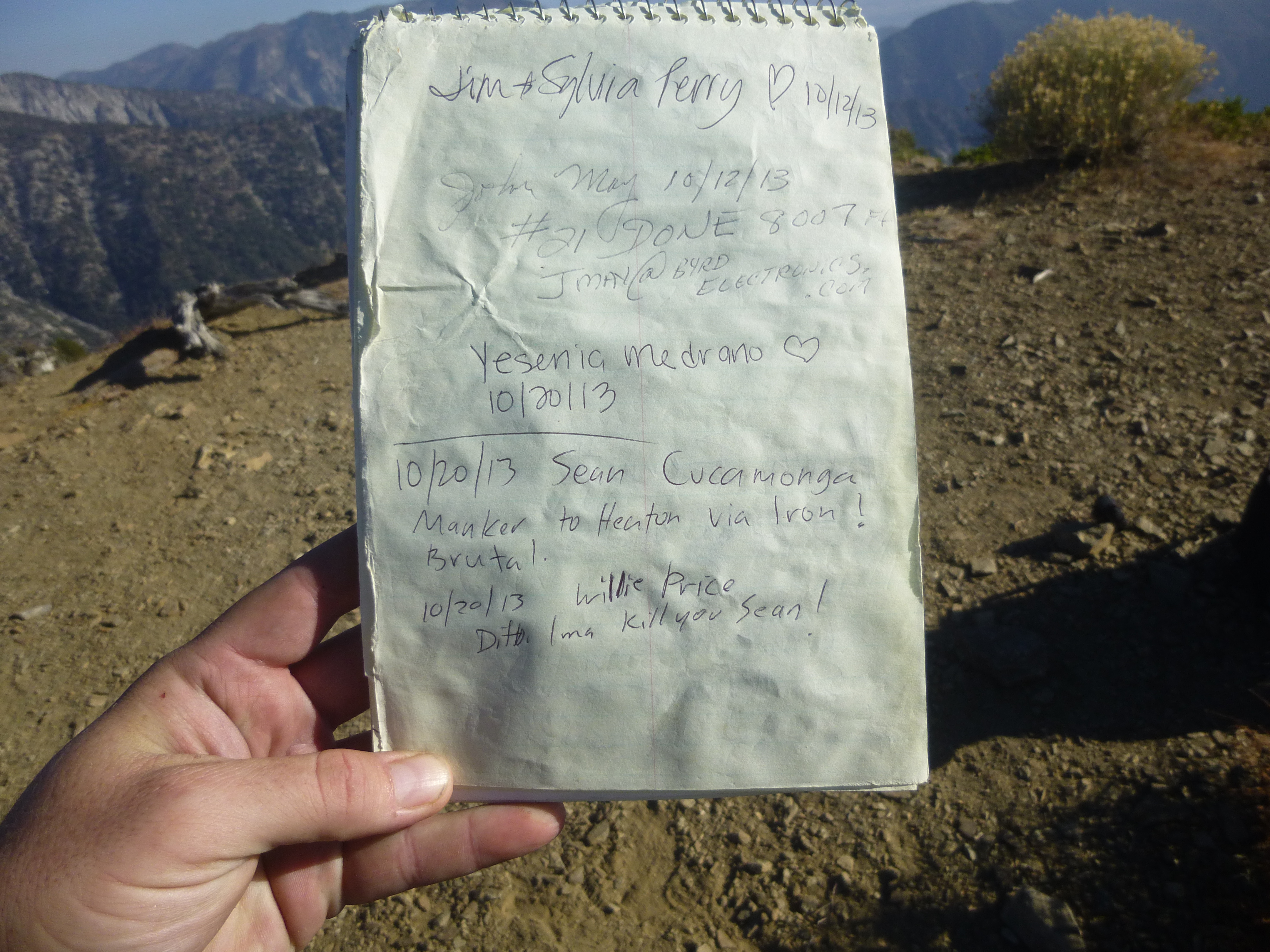
Including us, only three people had visited Iron that day.

Re: Surviving San Antonio Ridge
Posted: Mon Oct 21, 2013 8:34 am
by Hikin_Jim
That gunsight looks really ugly, no matter what angle I look at it from. Better you than me, brother.

How was the descent in the dark? (if you were on Iron at 4:00 PM, I assume you were out after dark).
Congrats on returning alive.
HJ
Re: Surviving San Antonio Ridge
Posted: Mon Oct 21, 2013 8:43 am
by Sean
It took us four hours to descend from Iron to Heaton. Luckily my friend remembered his flashlight, so I bummed off of him, following close behind. I think we did 2 or 3 miles of the Heaton Flat trail in full darkness. Not too bad, though we lost the trail for a minute where it u-turns above the saddle. I thought that was the saddle and looked for the trail on the right, but it was behind us.
Re: Surviving San Antonio Ridge
Posted: Mon Oct 21, 2013 9:21 am
by Hikin_Jim
You guys we're really moving. That's danged good time to get out in 4 hours in the dark.
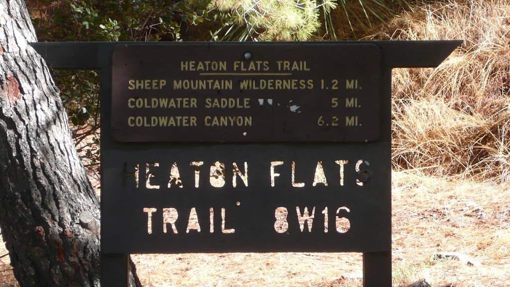
Sounds like you made it "Coldwater" Saddle by dark and got to the trail proper? If so, you lucked out. Going down the XC portion in the dark is a pain in the @$$. Ask me how I know that.

I put "Coldwater" in quotes because I've also heard that particular saddle called Allison Saddle, Heaton Saddle, and even Laurel Saddle (infrequent).
FWIW, the trail sign calls it Coldwater Saddle:
HJ
Re: Surviving San Antonio Ridge
Posted: Mon Oct 21, 2013 9:37 am
by Sean
Hikin_Jim wrote: ↑Sounds like you made it "Coldwater" Saddle by dark and got to the trail proper?
Yeah, count me as one of the confused when it comes to the common name for that saddle. Tom Harrison labels it Heaton Saddle. The sign says Coldwater Saddle. I was under the impression they were two different points, neither of which is identified on-trail. Anyway, we were off the crazy part and well into the main trail by sunset.
I don't envy your dark descent from Iron. Even with sunlight I thought I might slip and take a face-plant into some yucca.
Re: Surviving San Antonio Ridge
Posted: Mon Oct 21, 2013 10:51 am
by Hikin_Jim
We got really lucky (or blessed, depending on how you look at it). We did everything wrong (out too late, wearing cotton, no flashlights, improper footwear), but it worked out. There was crusty snow just perfect for descending. It wasn't so hard that you were going to slip, but it was firm enough for good plunge stepping -- without postholing. We did it on a moonlit night. It was actually beautiful albeit grueling and just a bit nerve wracking in the dark under the trees.
HJ
Re: Surviving San Antonio Ridge
Posted: Mon Oct 21, 2013 11:44 am
by mcphersonm80
Nice report, love that pano from the top of Iron.
How did your friends like the slog back up to Baldy? I once hiked as far as Gunsight Notch and turned back, too. That hike back up was absolutely terrible (in a good way, of course

)
Re: Surviving San Antonio Ridge
Posted: Mon Oct 21, 2013 12:18 pm
by Sean
mcphersonm80 wrote: ↑How did your friends like the slog back up to Baldy?
They are tough hikers, and I think it's a testament to the awesomeness of Gunsight Notch that they were willing to turn around and go back to Baldy. It wasn't easy for them. They were low on food and water, too. But they made it back to Manker in 6 hours.
Re: Surviving San Antonio Ridge
Posted: Mon Oct 21, 2013 1:22 pm
by Hikin_Jim
Sounds brutal. At least there's water at the hut.
HJ
Re: Surviving San Antonio Ridge
Posted: Mon Oct 21, 2013 2:39 pm
by Hikin_Jim
Sean wrote: ↑Yeah, count me as one of the confused when it comes to the common name for that saddle. Tom Harrison labels it Heaton Saddle.
I've always called it Heaton Saddle, and I
think John Robinson calls it Heaton Saddle. Dunno where "Coldwater" came from although I guess it could be considered a passage between Laurel Gulch and Coldwater Canyon.
HJ
P.S. How many freaking Coldwater Canyons in the world are there? Bear Canyons? Pine Mountains? C'mon people, let's be a little original here.

Re: Surviving San Antonio Ridge
Posted: Mon Oct 21, 2013 2:48 pm
by HikeUp
Coldbear Canyon.
Re: Surviving San Antonio Ridge
Posted: Mon Oct 21, 2013 2:52 pm
by Sean
Re: Surviving San Antonio Ridge
Posted: Mon Oct 21, 2013 2:52 pm
by Hikin_Jim
I prefer Cold
beer canyon, but whatever.

HJ
Re: Surviving San Antonio Ridge
Posted: Mon Oct 21, 2013 2:54 pm
by AW~
Nice! hehehe, that Gunsight notch sure has a reputation of mucking up people's plans.
Re: Surviving San Antonio Ridge
Posted: Mon Oct 21, 2013 3:24 pm
by Hikin_Jim
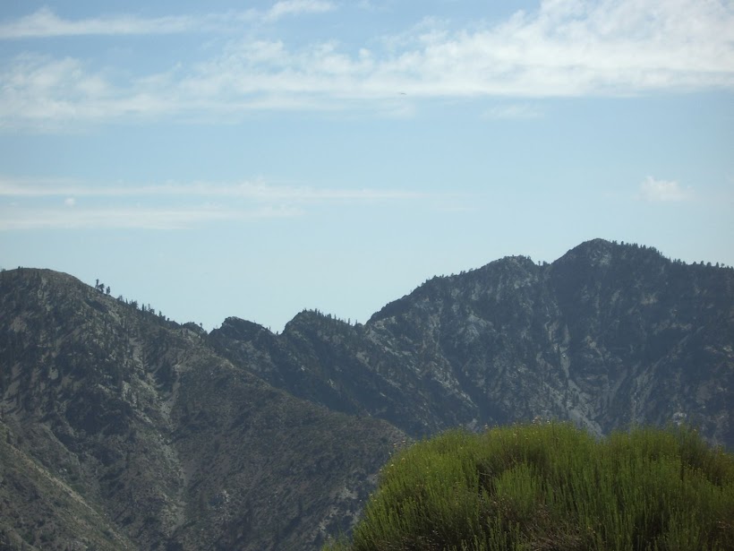
I don't see what the big deal is.

HJ
Re: Surviving San Antonio Ridge
Posted: Mon Oct 21, 2013 6:16 pm
by tekewin
Nice report! That is tough turf.
If you've ever watched a cartoon where the character's eyeballs pop out of their sockets, then you can imagine our reaction to Gunsight Notch. We searched for the fabled gully bypass, but could not see anything other than Mr. Death grinning wickedly on either side of the terrifyingly exposed cliffs.
I thought you had done the San Antonio Ridge before, but I might be mistaken.
I've read about that fabled gully bypass in two different reports. Very discouraging if it doesn't exist. I've considered doing the ridge from Manker to Iron and back, but the notch remains intimidating.
Re: Surviving San Antonio Ridge
Posted: Mon Oct 21, 2013 7:55 pm
by Sean
tekewin wrote: ↑I thought you had done the San Antonio Ridge before...
Nope. First time.
I've read about that fabled gully bypass in two different reports. Very discouraging if it doesn't exist.
This group used a bypass. But it appears they only bypassed the very hardest part. And it's not clear exactly what they did to avoid it, other than go down something on the south side of the ridge.
Re: Surviving San Antonio Ridge
Posted: Mon Oct 21, 2013 8:14 pm
by tekewin
This group used a bypass. But it appears they only bypassed the very hardest part. And it's not clear exactly what they did to avoid it, other than go down something on the south side of the ridge.
Ah, cool. I appreciate the beta. This will have to stay on hold for me until I get more experience climbing.
Re: Surviving San Antonio Ridge
Posted: Tue Oct 22, 2013 11:18 am
by Sean
Hikin_Jim wrote: ↑Dunno where "Coldwater" came from although I guess it could be considered a passage between Laurel Gulch and Coldwater Canyon.
To be clear, I'm talking about the saddle marked 4582'. I don't like the name Heaton Saddle. Heaton Flat, Heaton Flat Trail, Heaton Saddle. That's at least two too many Heatons for my liking. I kind of like Coldwater Saddle, because it is a passage into Coldwater Canyon. So that makes some sense, and it doesn't have another "Heaton" in the name.
The problem is the trailhead sign, which claims the distance to Coldwater Saddle is 5 miles. According to my GPS track, it's only 3.7. If the sign is referring to Saddle 4582, then it is way off and thus causes confusion.
Re: Surviving San Antonio Ridge
Posted: Tue Oct 22, 2013 11:43 am
by Hikin_Jim
4582' sounds right although there's nothing marked on the
USGS topo map. I've marked Heaton/Coldwater/Allison Saddle on the above linked map with the letter "A".
Actually, I like the name Heaton since all the "Heatons" are together (Heaton Flats, Heaton Flats Trail, and Heaton Saddle), but whatever.
HJ
Re: Surviving San Antonio Ridge
Posted: Tue Oct 22, 2013 12:05 pm
by Sean
That's weird. It's marked on
this one.
Re: Surviving San Antonio Ridge
Posted: Tue Oct 22, 2013 1:39 pm
by Hikin_Jim
Yeah, it is weird. Depends on which version got scanned.
Notice also that the trail to the Stanley-Miller mine is shown. Hasn't been used since the 1800's. Good luck with that.

HJ
Re: Surviving San Antonio Ridge
Posted: Tue Oct 22, 2013 11:23 pm
by Mike P
Yes, and look at all of the trails marked to Widco, Gold Dollar and Eagle mines. Didn't Zé put up a trail report to those mines a while back? If so, Joe, did you use those trails?
Re: Surviving San Antonio Ridge
Posted: Wed Oct 23, 2013 7:17 am
by Hikin_Jim
Mike P wrote: ↑Yes, and look at all of the trails marked to Widco, Gold Dollar and Eagle mines. Didn't Zé put up a trail report to those mines a while back? If so, Joe, did you use those trails?
I did a lot of exploration of the mines of the E Fork in the 80's. You could find traces of those trails, but they're largely gone. The only exception is the trails to the Allison which are more or less followable.
HJ
Re: Surviving San Antonio Ridge
Posted: Wed Oct 23, 2013 9:29 am
by Ze Hiker
Hikin_Jim wrote: ↑Yeah, it is weird. Depends on which version got scanned.
Notice also that the trail to the Stanley-Miller mine is shown. Hasn't been used since the 1800's. Good luck with that.

HJ
Yeah, don't follow that one unless you want to deal with seriously dangerous crumbly rock
 Stanley Miller the bad way
Iron Mt - NW ridge - Stanley Miller
Allison Mine Loop
Baldora / Widco
Eagle Mine
Gold Dollar Mine + SA Ridge
Re: Surviving San Antonio Ridge
Posted: Wed Oct 23, 2013 9:32 am
by Ze Hiker
Mike P wrote: ↑Yes, and look at all of the trails marked to Widco, Gold Dollar and Eagle mines. Didn't Zé put up a trail report to those mines a while back? If so, Joe, did you use those trails?
Trails for Allison are good. Stanley Miller, do not follow the topo trail as it's dangerous!
Trail down into Coldwater canyon from the saddle is fine enough, and easy up Dry Gulch to Baldora mine. Always went up from Dry Gulch to get to Gold Dollar / Eagle (not from trail on other side) which was tough but more direct. Found remnants but nothing great to follow for either of those.
Re: Surviving San Antonio Ridge
Posted: Mon Oct 28, 2013 10:25 pm
by Sean
tekewin wrote: ↑I've read about that fabled gully bypass in two different reports. Very discouraging if it doesn't exist.
FYI - An experienced group, including Henry Chen and Ben Crowell, tried to use the bypass last year and couldn't do it. They had used the bypass successfully in the past. But this time had to turn back, because the gully had deteriorated to an unsafe condition.
Re: Surviving San Antonio Ridge
Posted: Tue Oct 29, 2013 12:11 pm
by turtle
Sean wrote: ↑tekewin wrote: ↑I've read about that fabled gully bypass in two different reports. Very discouraging if it doesn't exist.
FYI - An experienced group, including Henry Chen and Ben Crowell, tried to use the bypass last year and couldn't do it. They had used the bypass successfully in the past. But this time had to turn back, because the gully had deteriorated to an unsafe condition.
Assuming we are talking about the
final notch that is encountered if heading eastward (toward Baldy)...
I used
a bypass last year. But it was indeed not obvious, and hard to describe. So I can't confidently say that I used
the bypass.
Heading westward (toward Iron) the bypass would be especially hard to spot, as it is completely hidden from view "around the corner" on the south side of the ridge.
Heading eastward presents a different difficulty... it is not obvious when you are actually at the final notch. There is an earlier notch (second to last?) that looks surprisingly like the final notch. (Or at least it did to me, trying to retrieve memories from a westward trip twelve years prior.) And there are indeed some chutes to the south that look inviting up top. In fact the chutes are quite nasty further down, and in my opinion the earlier notch is best addressed more directly with a few Class 4-ish moves.


