Life in the Big Tujunga
Posted: Sat Oct 19, 2013 12:27 pm
There's a turnout on the Angeles Crest Highway at mile marker 30.02, about six miles above La Canada. And at this turnout a trailhead awaits visitors.
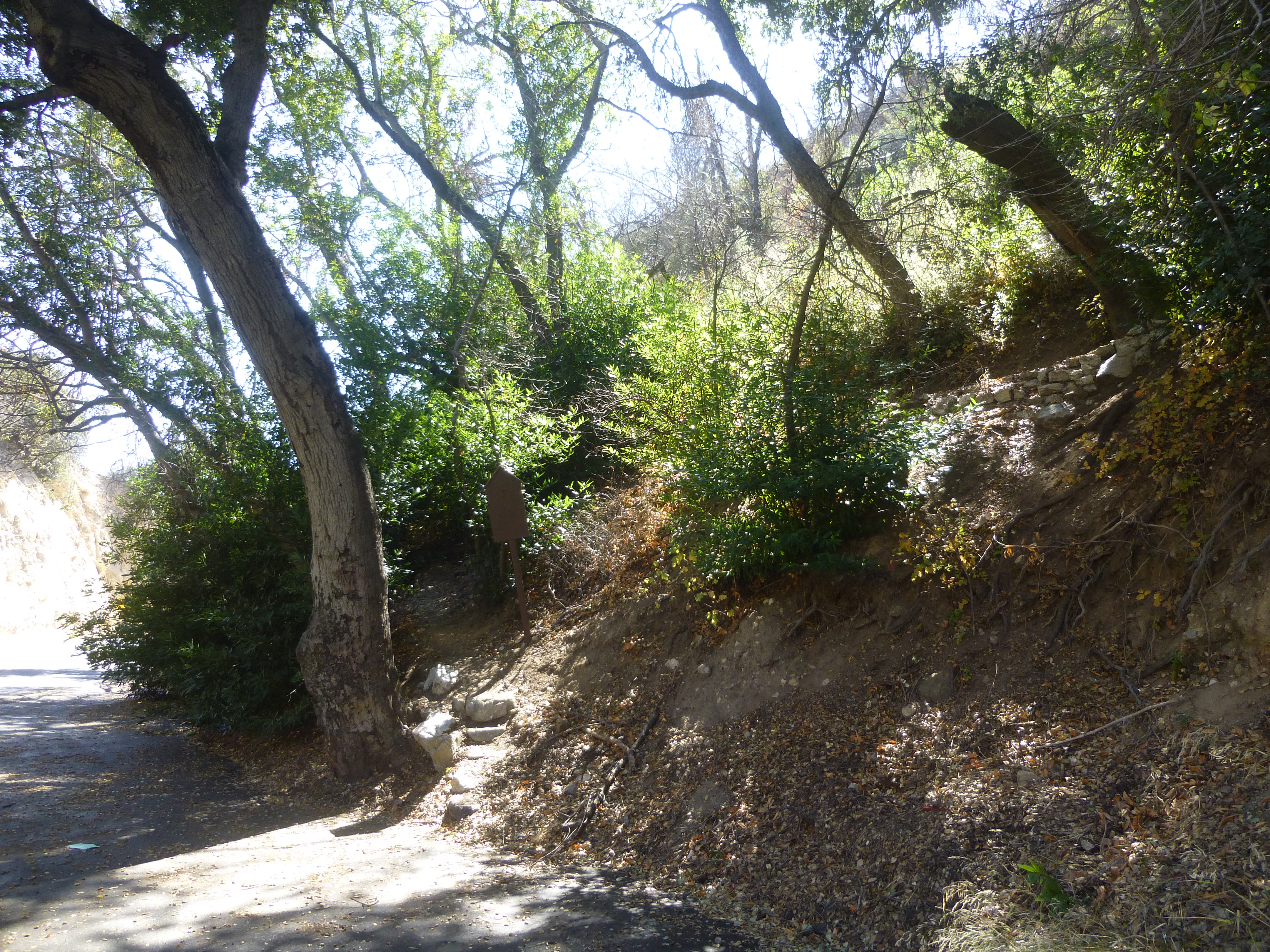
The sign is blank, but according to Trails of the Angeles, this is the upper portion of the Dark Canyon Trail. The path has been cleared of nasty stuff and passes through a grove of burned pine trees that are slowly recovering from the Station Fire.
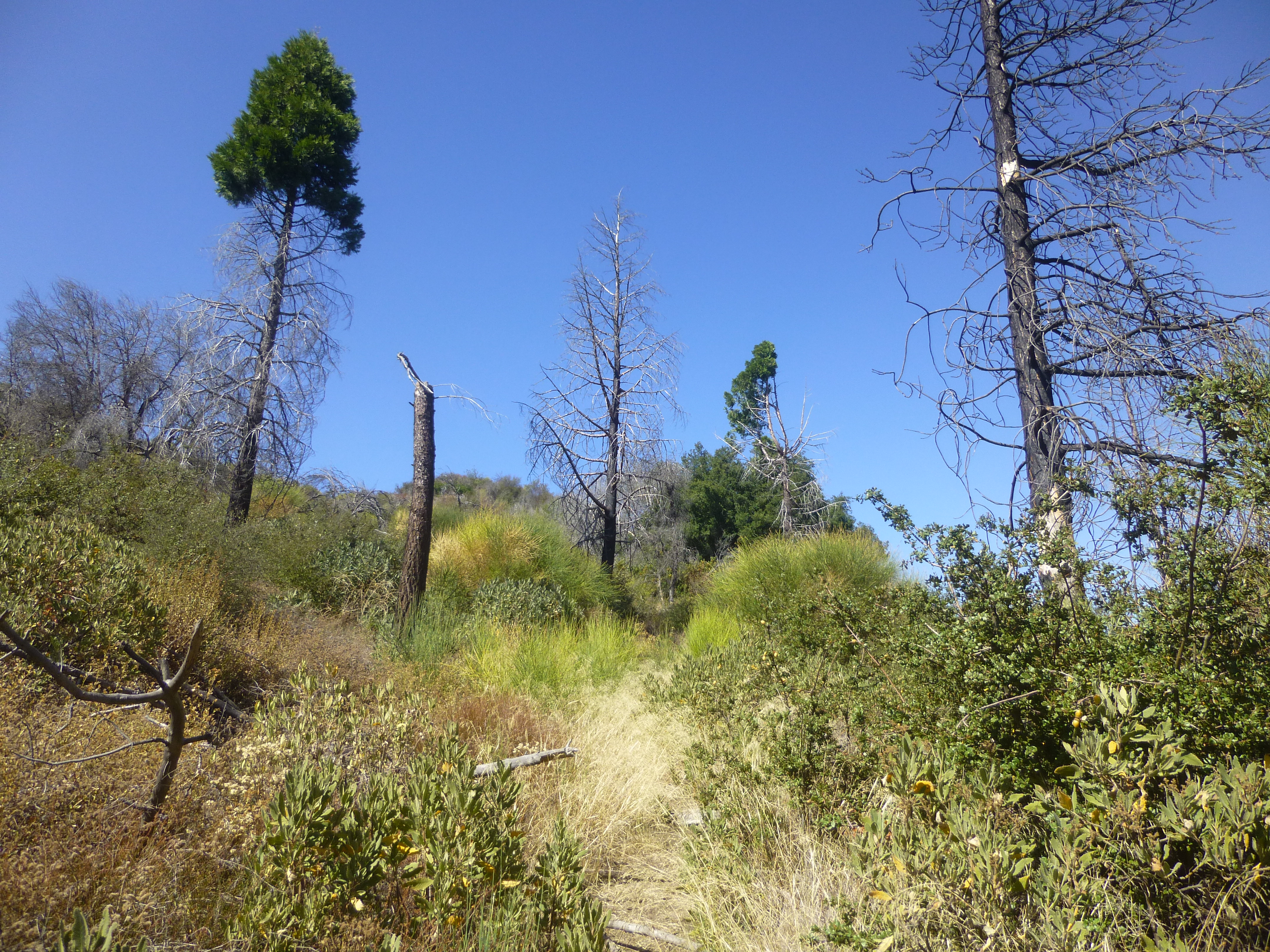
The half-mile climb is stiff but view-filled. Somewhere to the right, a thousand feet higher, Hoyt Mountain rises above the highway.
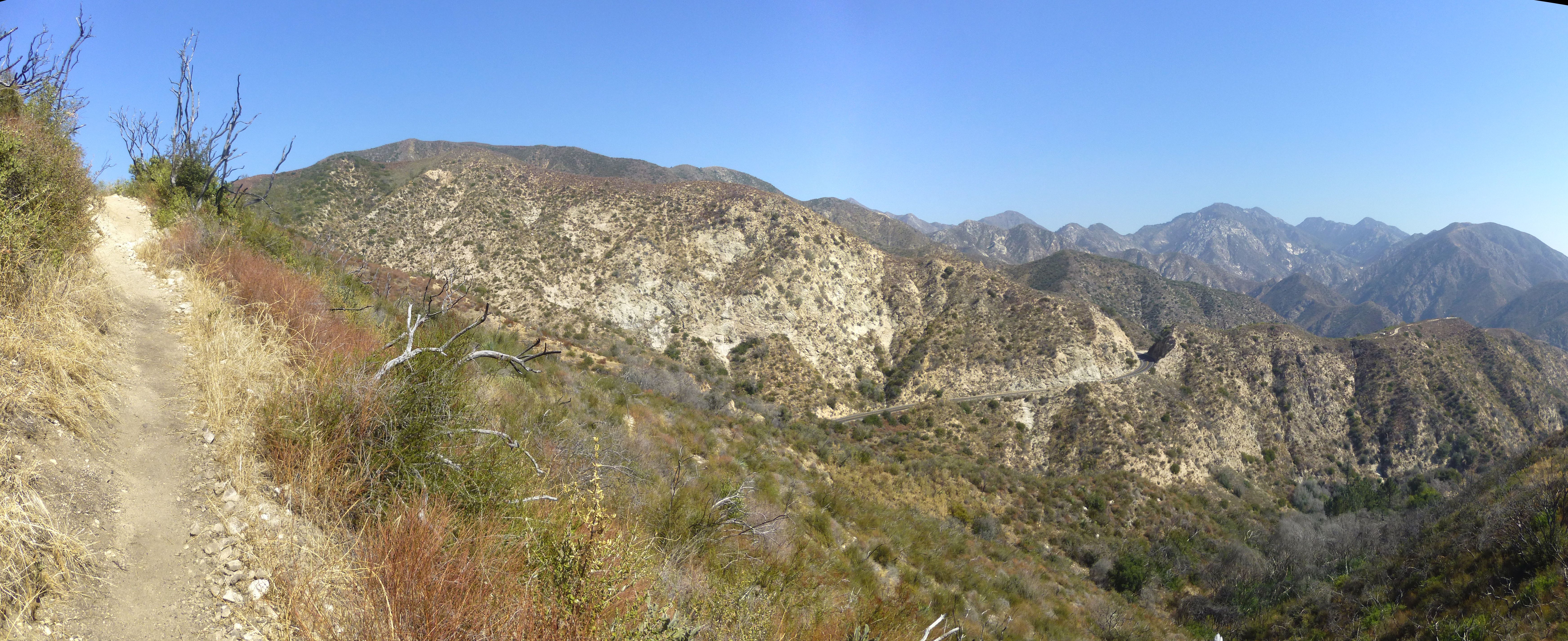
The singletrack ends at a saddle junction with 2N80 and 2N80A.
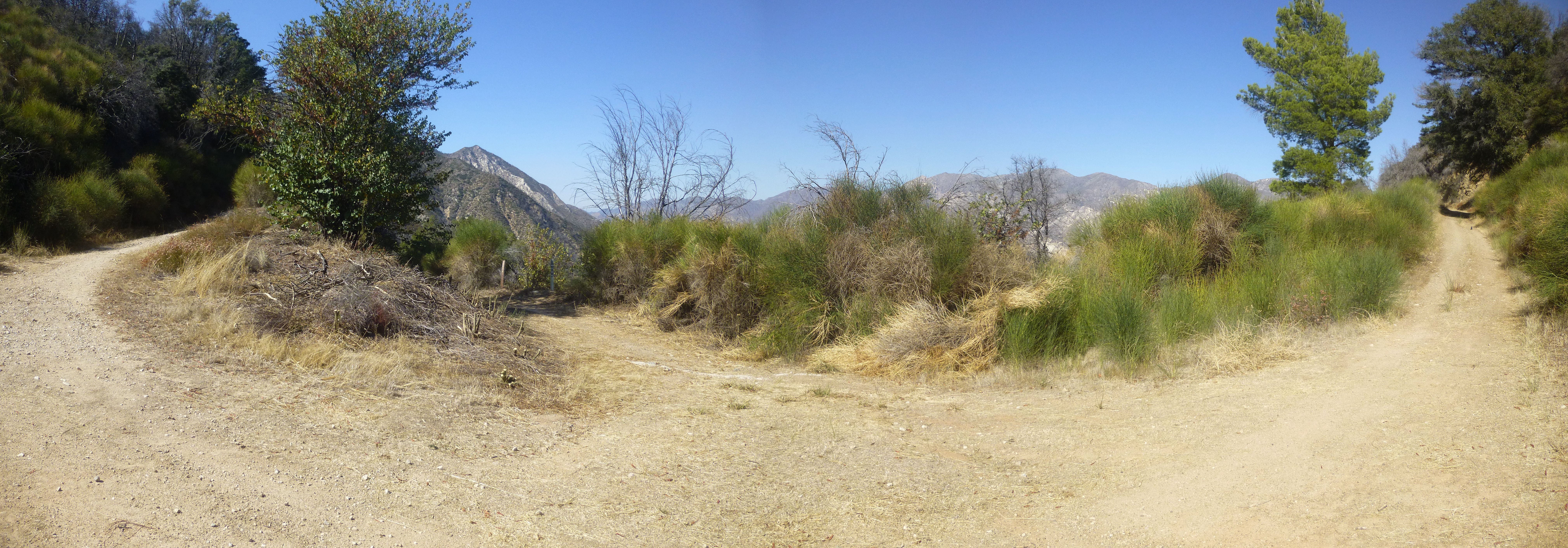
2N80 goes left or right. Left is Mt. Lukens. Right is Hoyt. Straight ahead is 2N80A, leading down to Grizzly Flat and into Big Tujunga Canyon.
The scenery on 2N80A consists mostly of high brush on either side. Occasionally a view across the great canyon opens up.
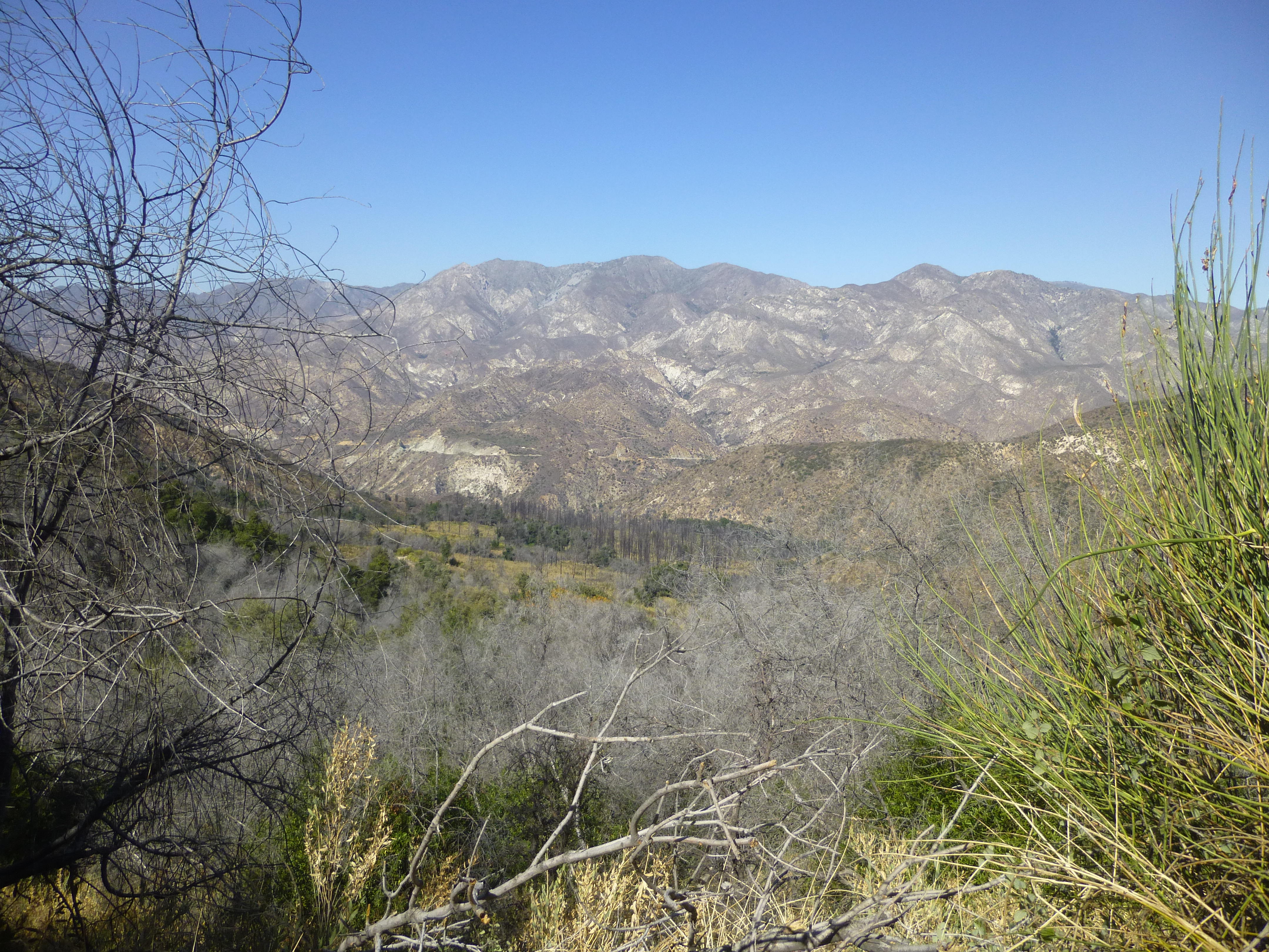
The cleared fire road descends gradually to the unappealing Grizzly Flat turnoff.
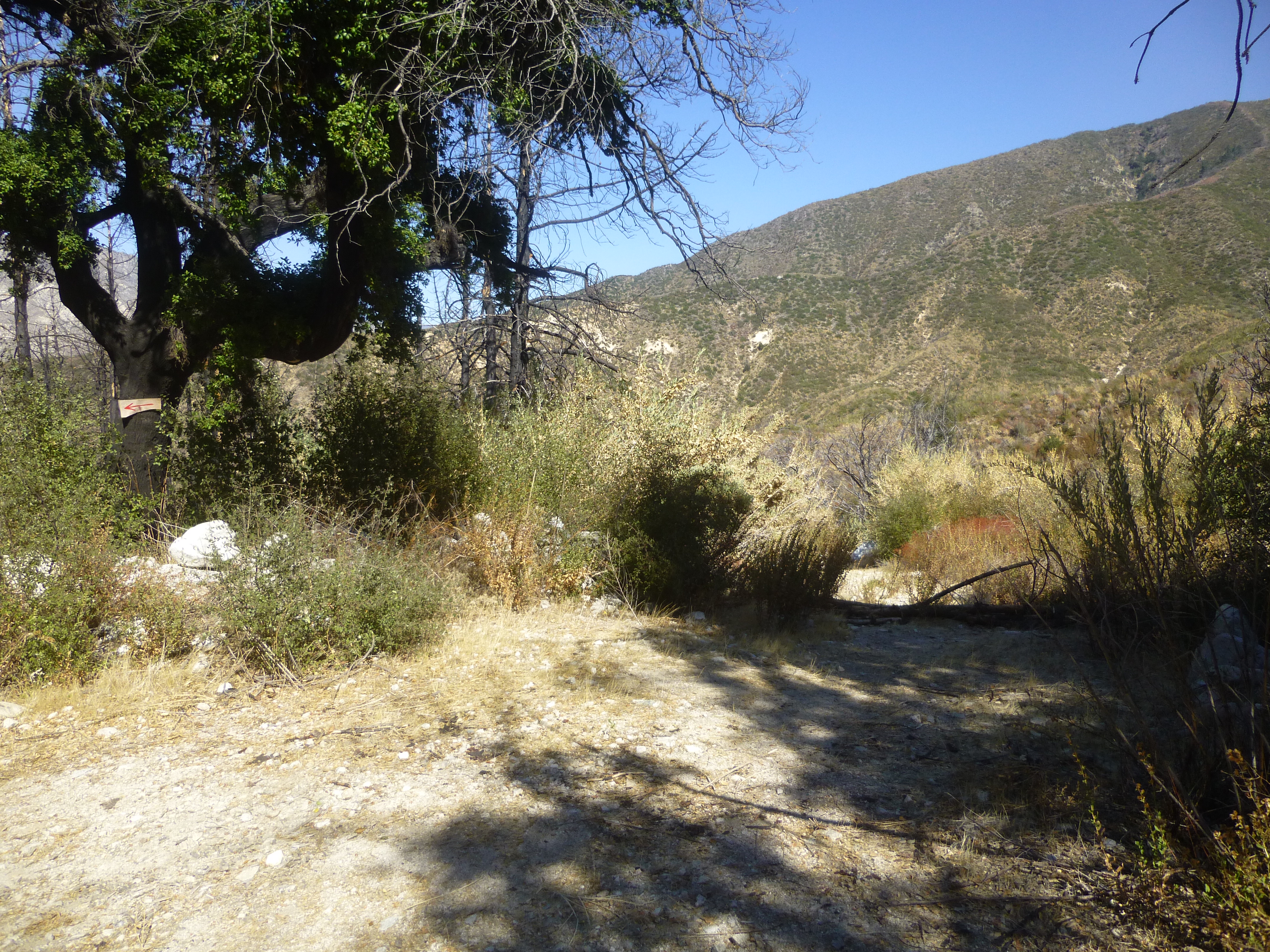
Then the road ends and transitions into the Grizzly Flat singletrack, initially passing through a pleasant side canyon with tall trees and a small stream.
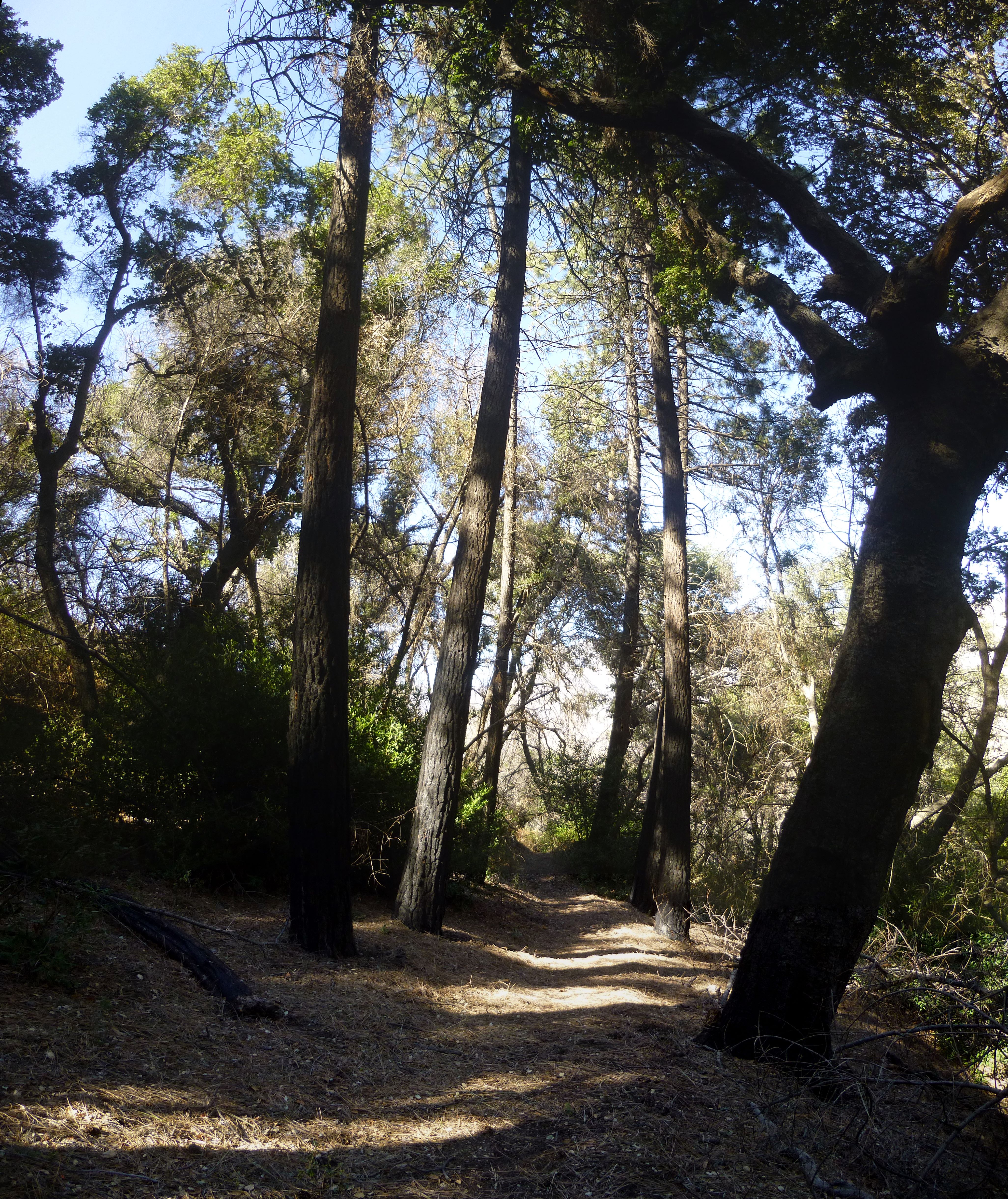
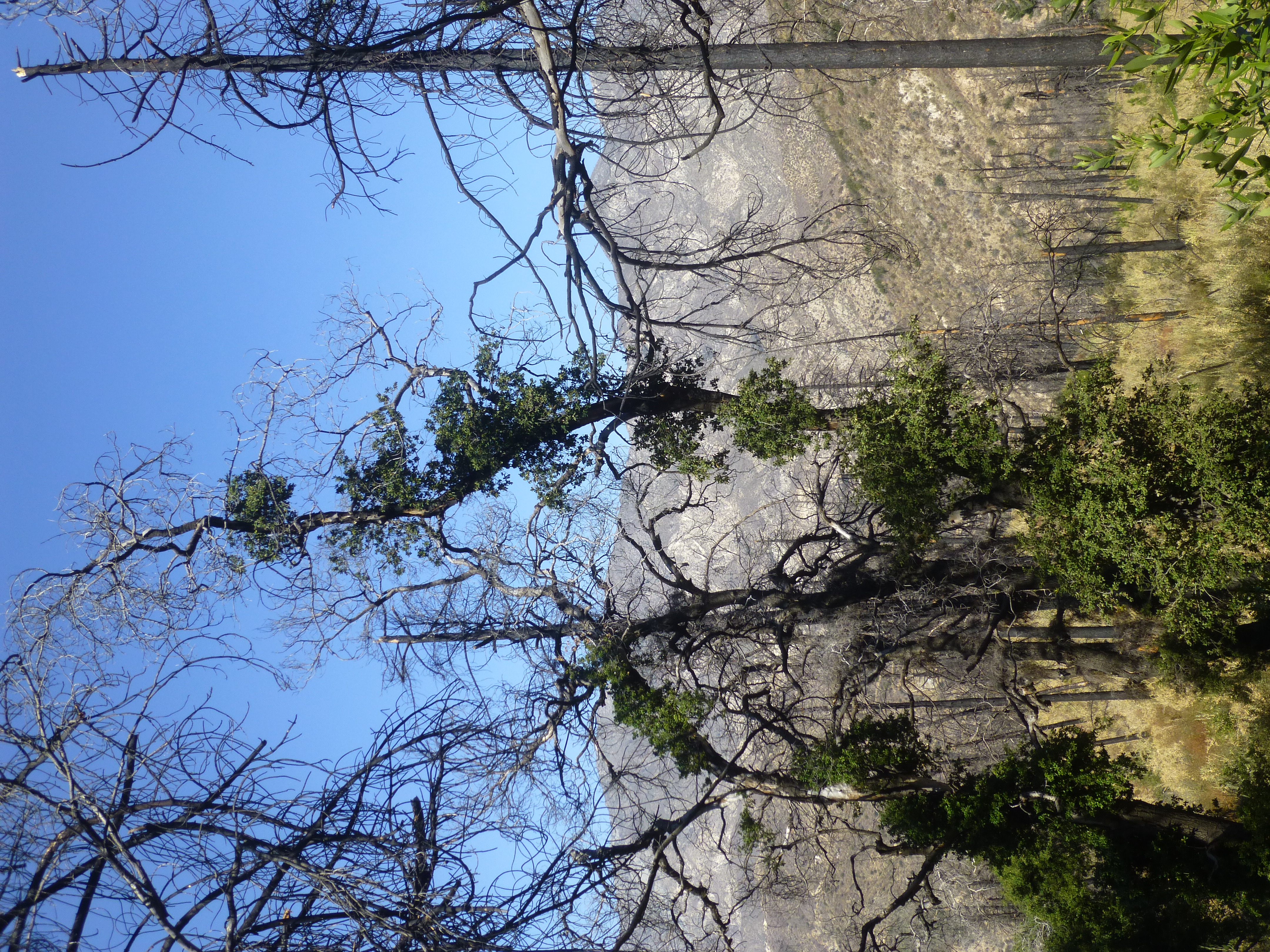
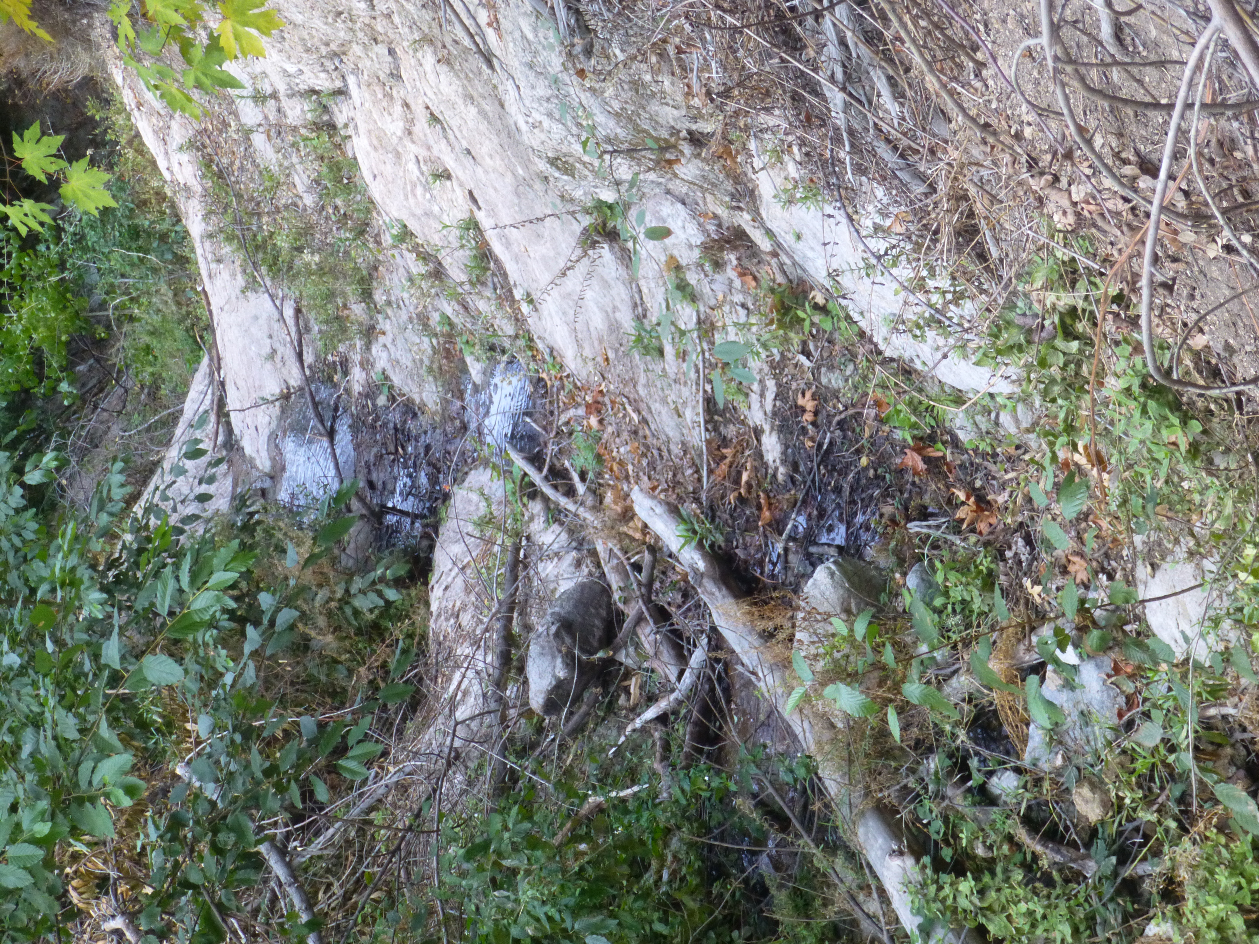
The trail shows signs of very recent work.
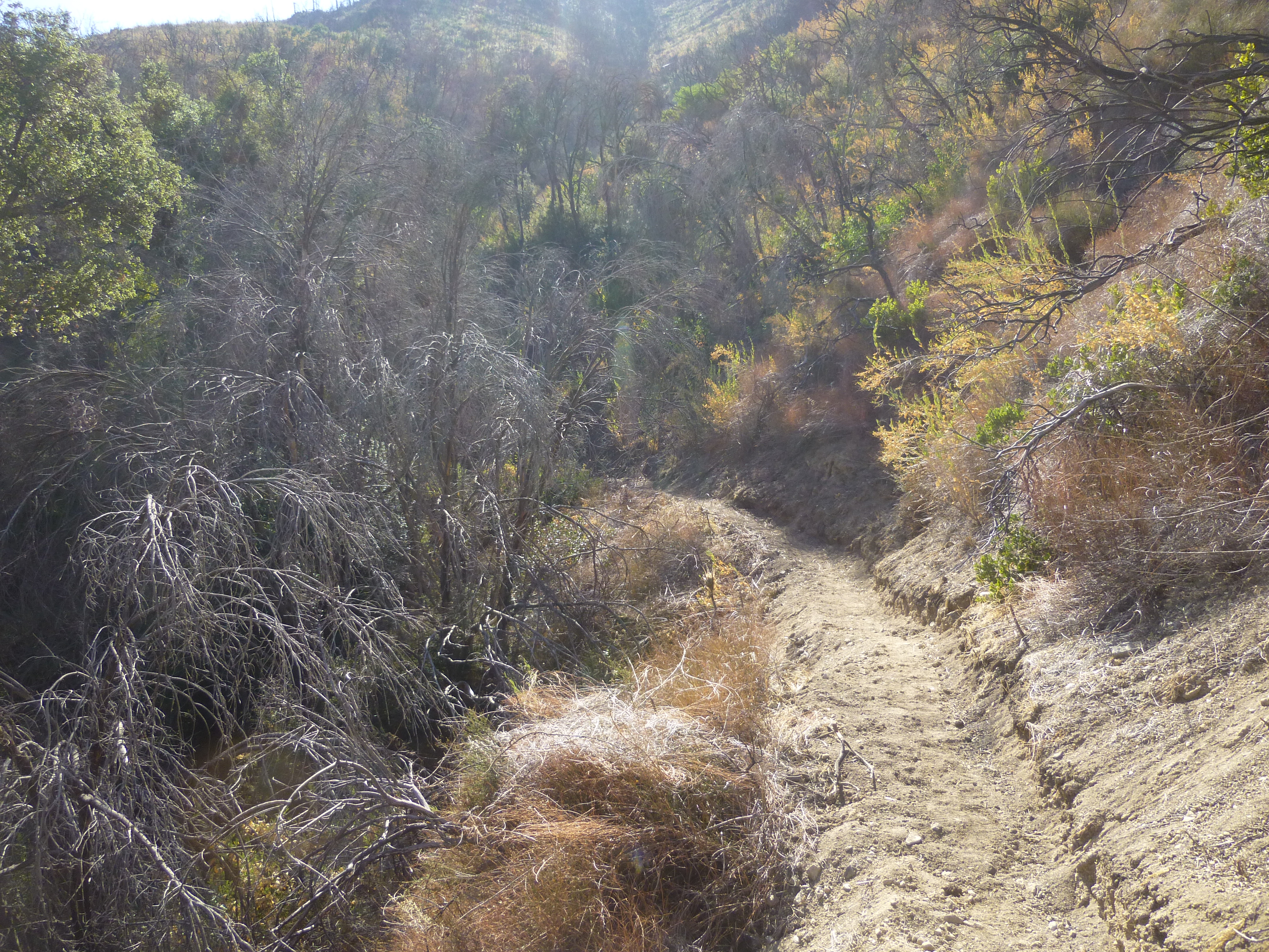
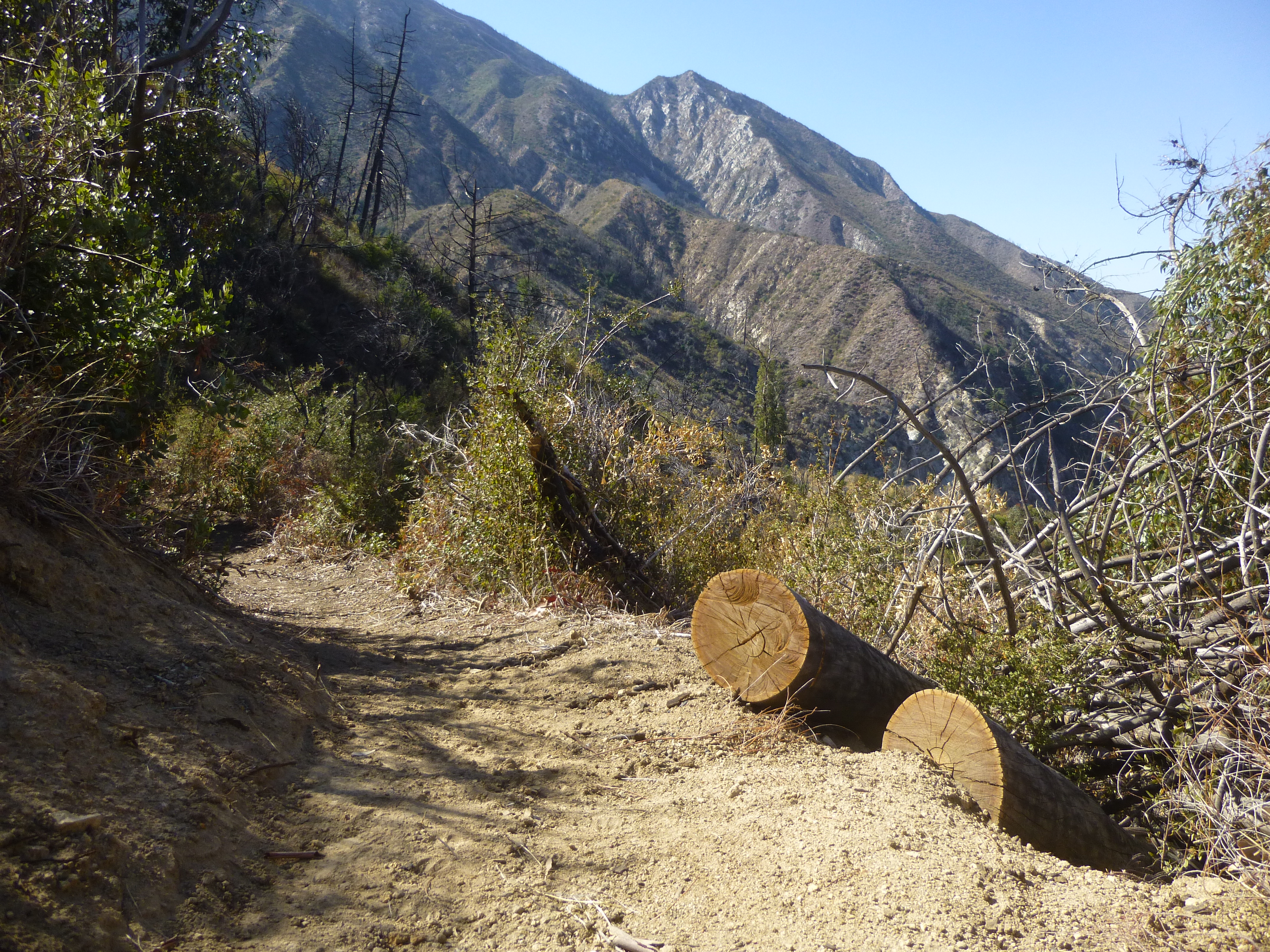
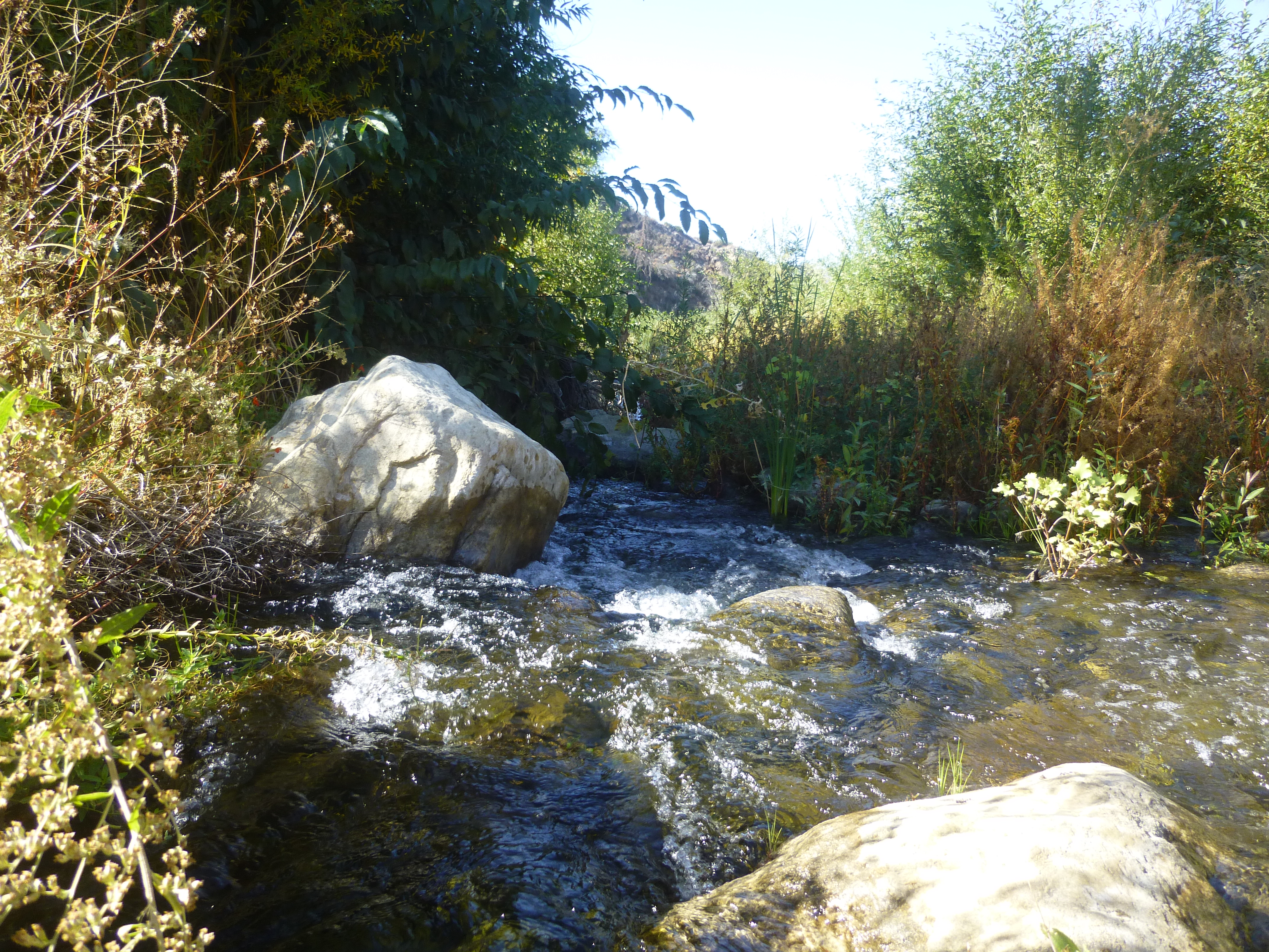
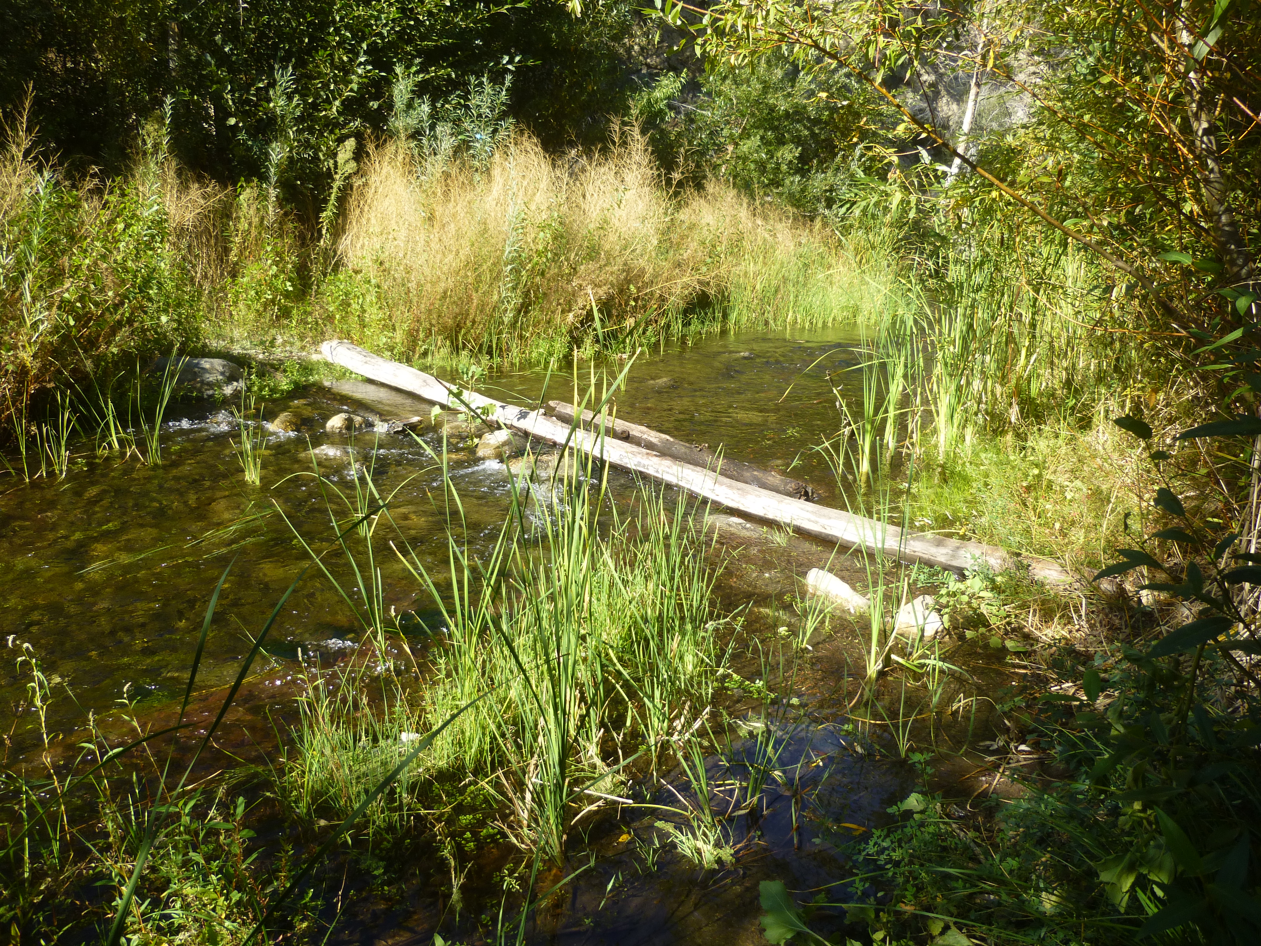
After a steep, rocky decline, the trail bottoms out in the broad Big Tujunga wash. Sometimes sandy, sometimes wet, the trek down to Stonyvale Picnic Area requires several creek crossings.
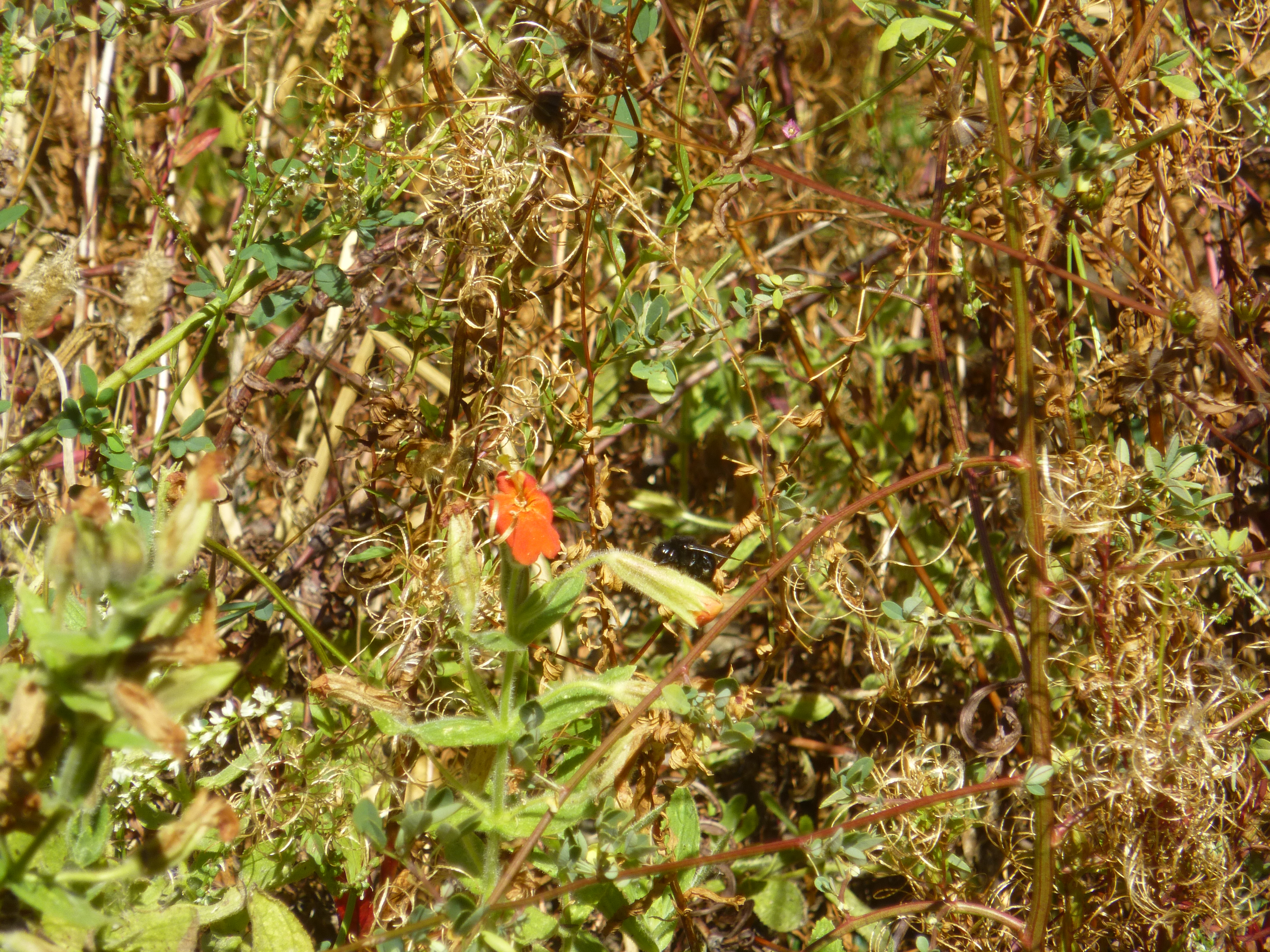
Bumble bees abound creekside.
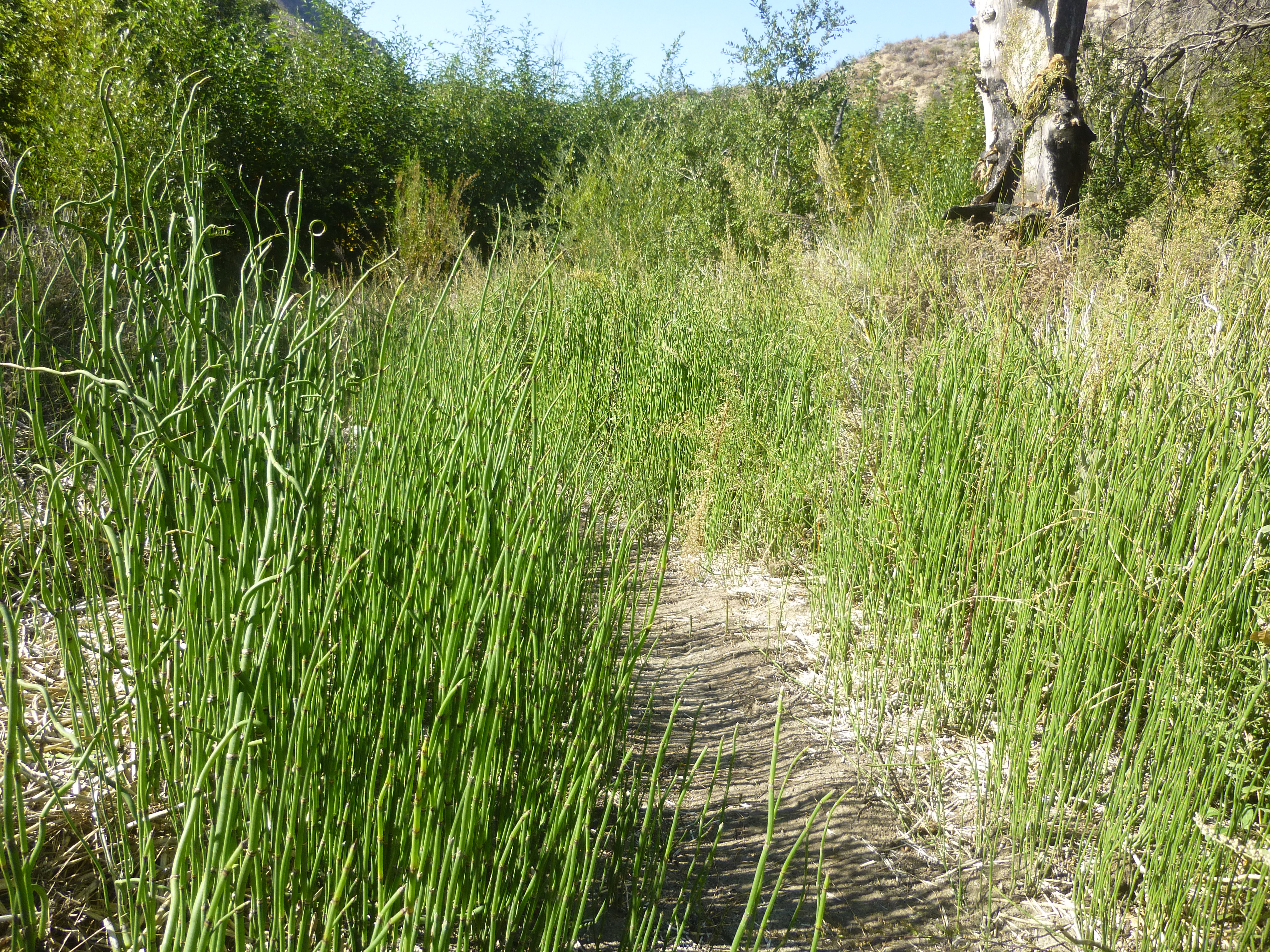
And there's lots of this stuff.
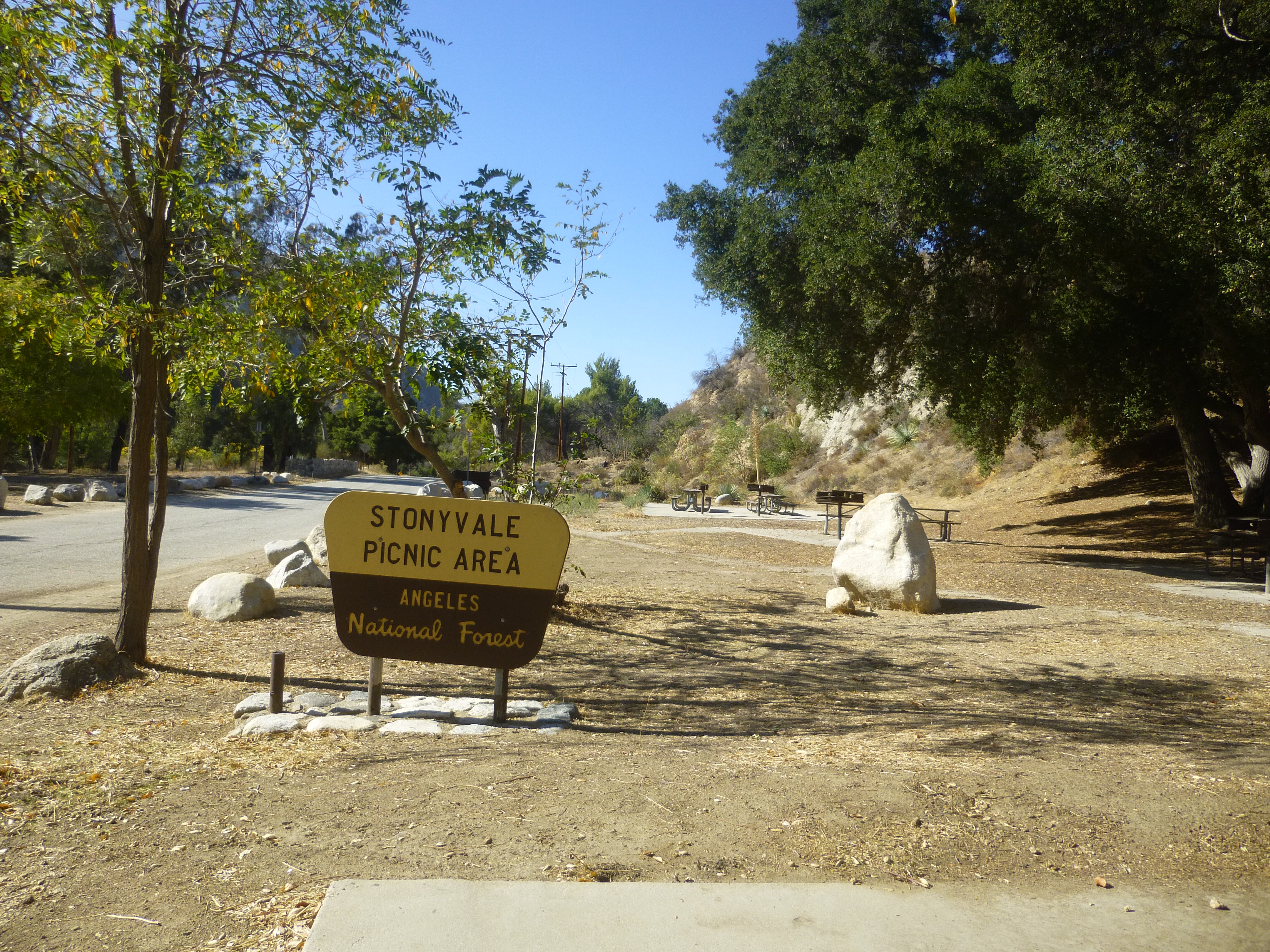
Stonyvale offers picnic tables, a restroom, and a faucet.
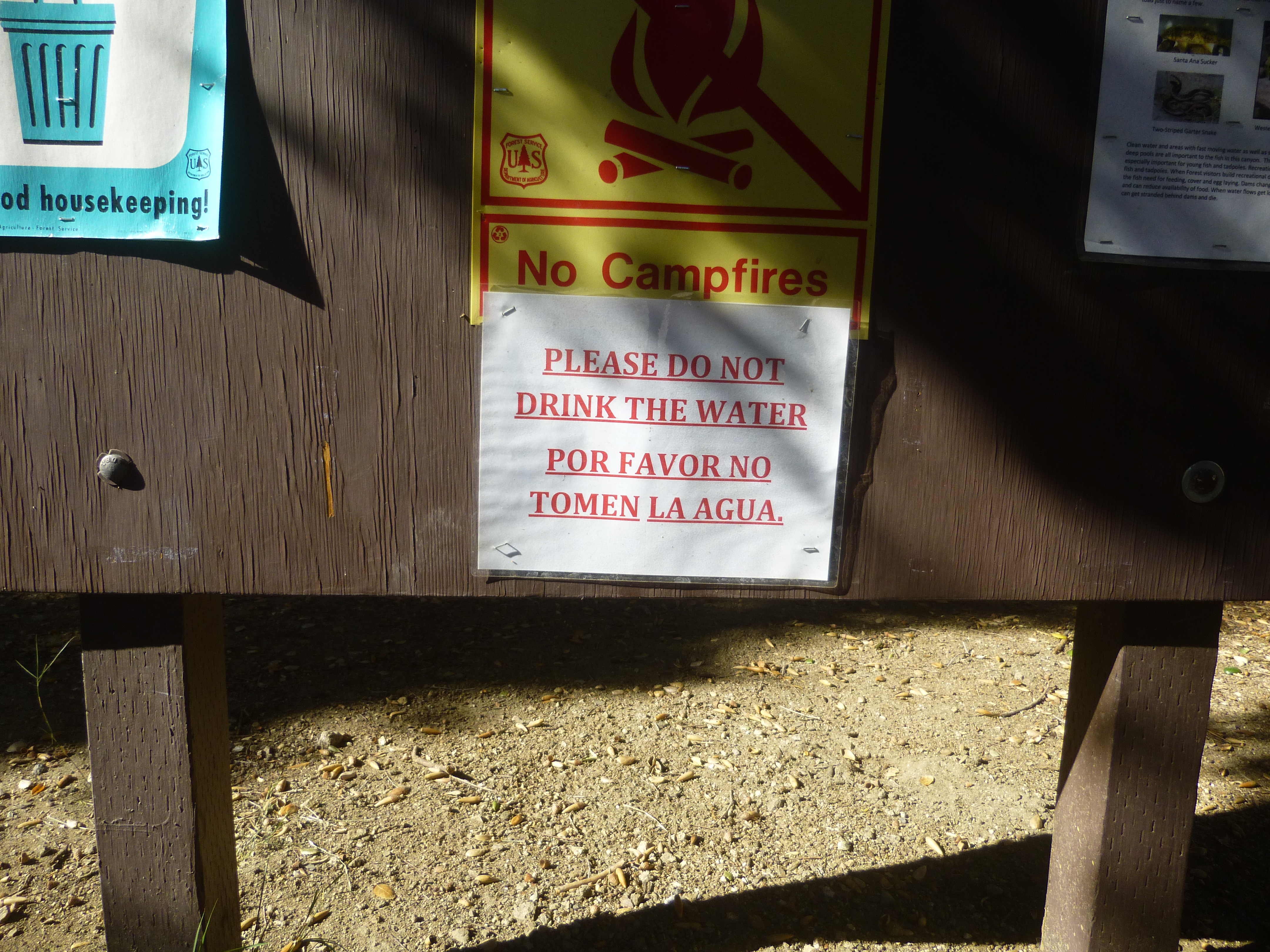
Try not to guzzle down a liter of water from the faucet before reading the bulletin board, which asks visitors to:
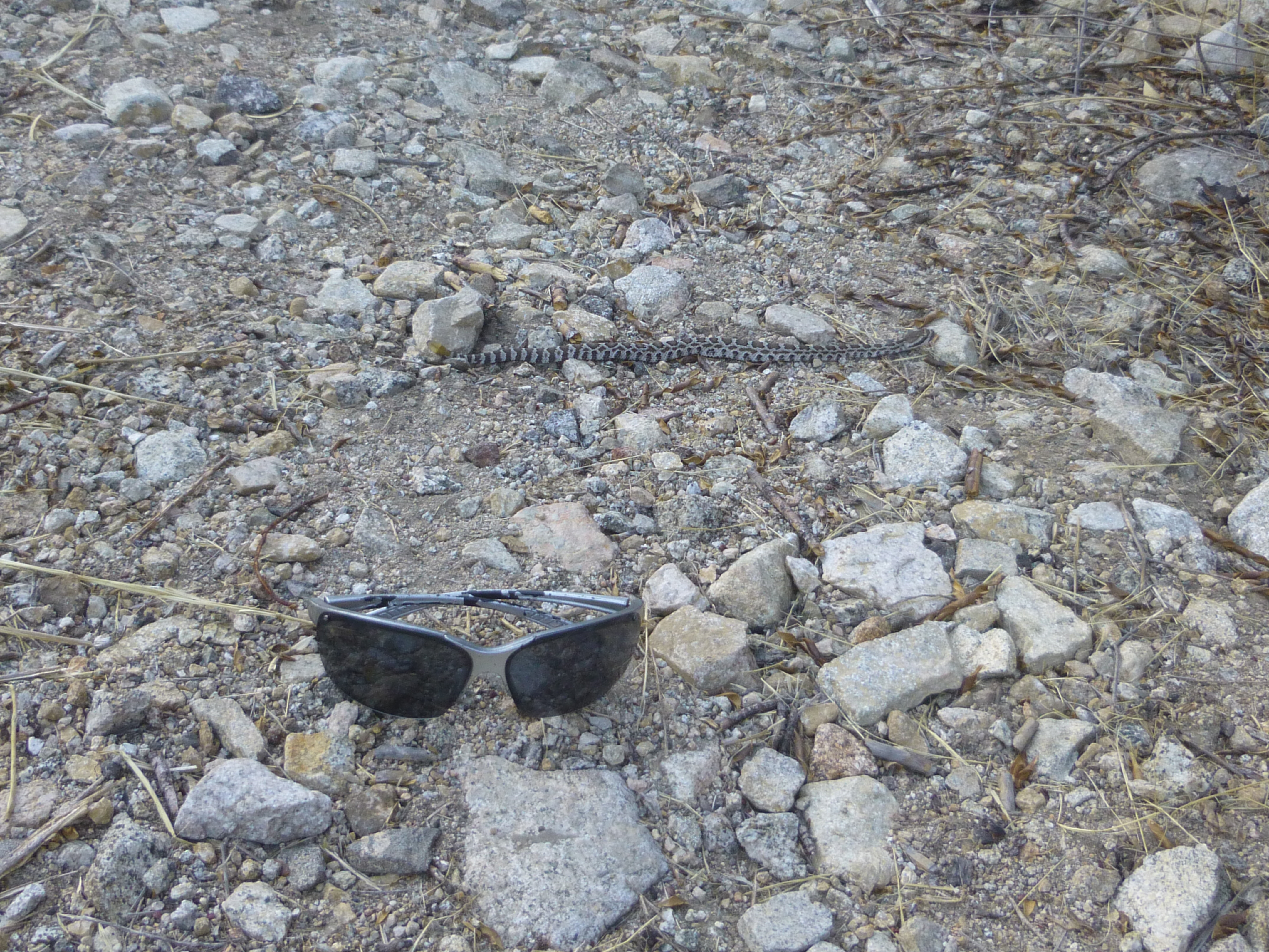
And on the return trip, watch out for baby rattlesnakes.
The sign is blank, but according to Trails of the Angeles, this is the upper portion of the Dark Canyon Trail. The path has been cleared of nasty stuff and passes through a grove of burned pine trees that are slowly recovering from the Station Fire.
The half-mile climb is stiff but view-filled. Somewhere to the right, a thousand feet higher, Hoyt Mountain rises above the highway.

The singletrack ends at a saddle junction with 2N80 and 2N80A.

2N80 goes left or right. Left is Mt. Lukens. Right is Hoyt. Straight ahead is 2N80A, leading down to Grizzly Flat and into Big Tujunga Canyon.
The scenery on 2N80A consists mostly of high brush on either side. Occasionally a view across the great canyon opens up.
The cleared fire road descends gradually to the unappealing Grizzly Flat turnoff.
Then the road ends and transitions into the Grizzly Flat singletrack, initially passing through a pleasant side canyon with tall trees and a small stream.

The trail shows signs of very recent work.
After a steep, rocky decline, the trail bottoms out in the broad Big Tujunga wash. Sometimes sandy, sometimes wet, the trek down to Stonyvale Picnic Area requires several creek crossings.
Bumble bees abound creekside.
And there's lots of this stuff.
Stonyvale offers picnic tables, a restroom, and a faucet.
Try not to guzzle down a liter of water from the faucet before reading the bulletin board, which asks visitors to:
And on the return trip, watch out for baby rattlesnakes.