Page 1 of 1

Mount Lowe Loop from Eaton Saddle 10/12/2013

Posted: Sun Oct 13, 2013 5:18 pm
by Hikin_Jim
Yesterday, I did the Mount Lowe Loop from Eaton Saddle

The first section, the road from Eaton Saddle to Markham Saddle, I covered in my Mueller Tunnel update.

The trail portion takes of from Markham Saddle and heads SW.
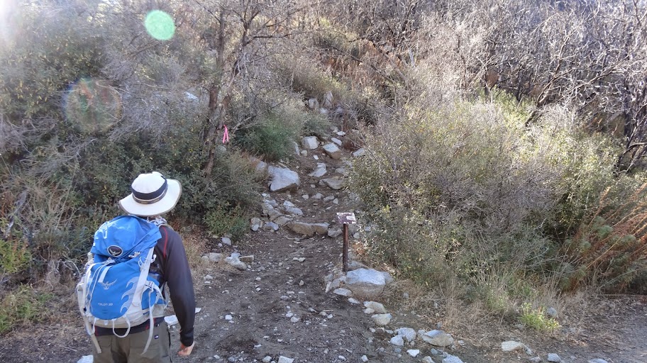
Image

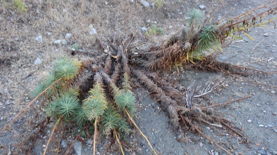
The trail is in decent shape, but there's a lot of the Brutal Poodle (poodle dog bush, Turricula Parryii, which gives one a really unpleasant rash).
Image

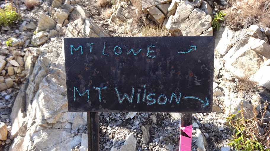
We went first to the summit of Mt. Lowe. To get there, we headed up to the junction high on the east side of Mt. Lowe, which is at point "D" on the above linked map.
Image

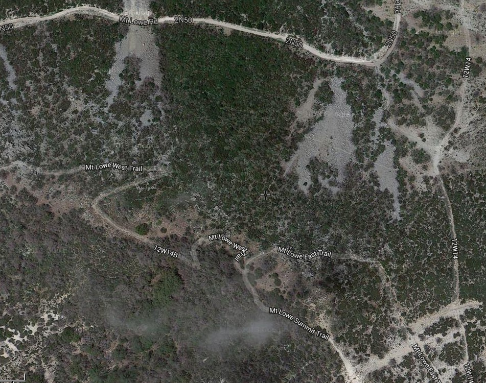
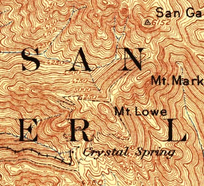
Note that the topo map is wrong. The topo map places the junction far lower. Nope. Switch to satellite view, and you can see the junction clearly. The topo map also labels the trail on the east side of the mountain as "MT LOWE WEST TRAIL." Um, no. Oddly enough, the west trail is on the west side of the mountain. Sorry, USGS. Fail.

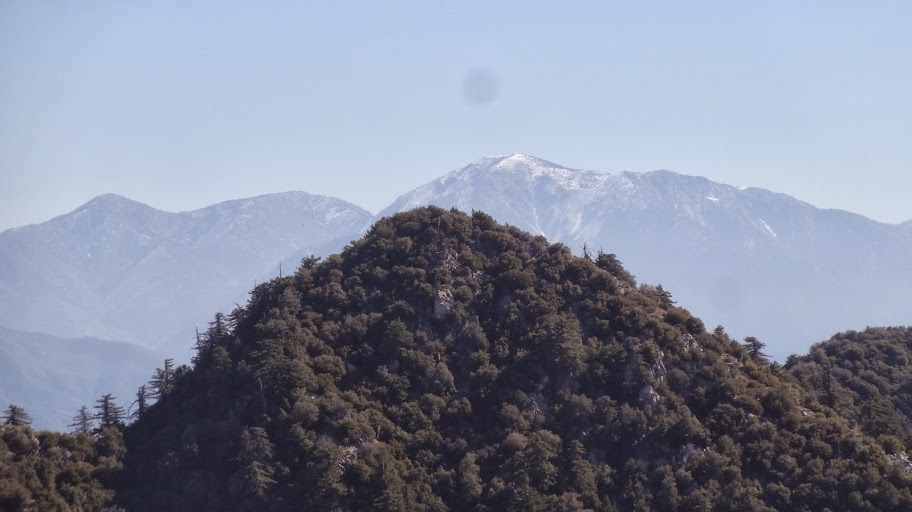
From the summit, we had some great views, including snow capped Mt. Baldy.
Image

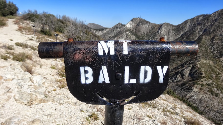
In case you weren't sure which peak is Mt. Baldy, no worries; there's a view tube singling it out.
Image

The old bench is still present on the summit. Talk about built to last!

Image

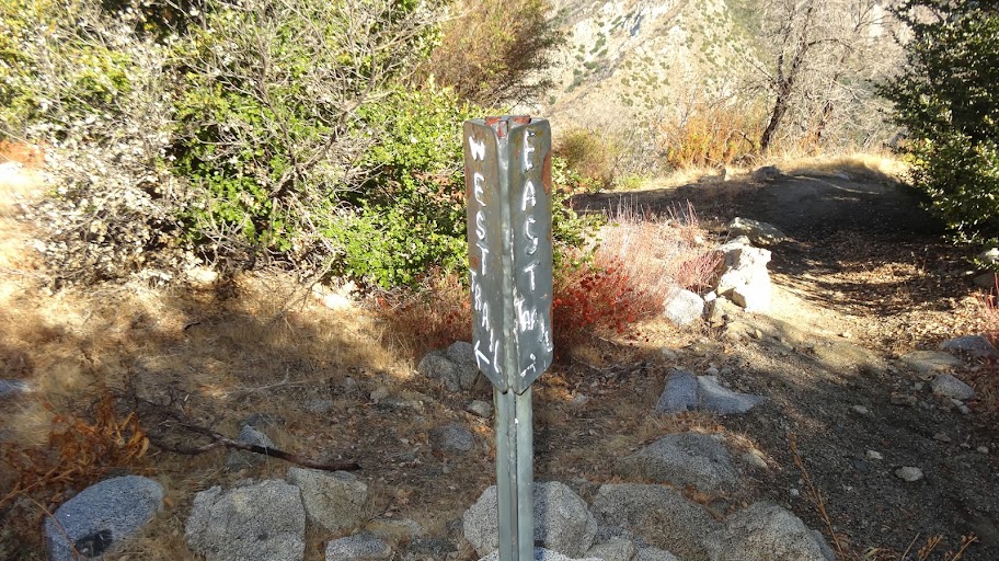
From the summit (point "F"), we went to the summit junction (point "G") where we picked up the Mt Lowe West Trail. The topo map is wrong about which trail is "west" and which trails is "east," but the sign at the junction is correct.
Image

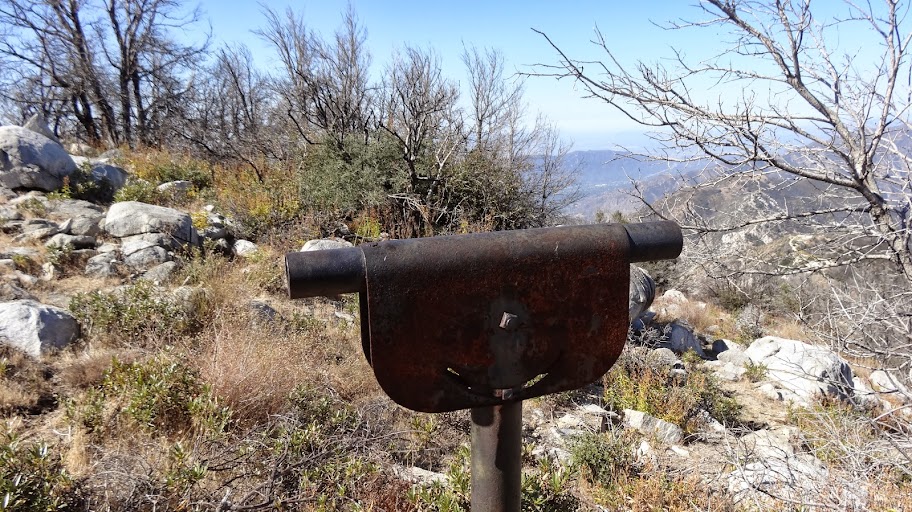
Descending the Mt Lowe West Trail, we came to this lone view tube. It wasn't labeled that I could see.
Image

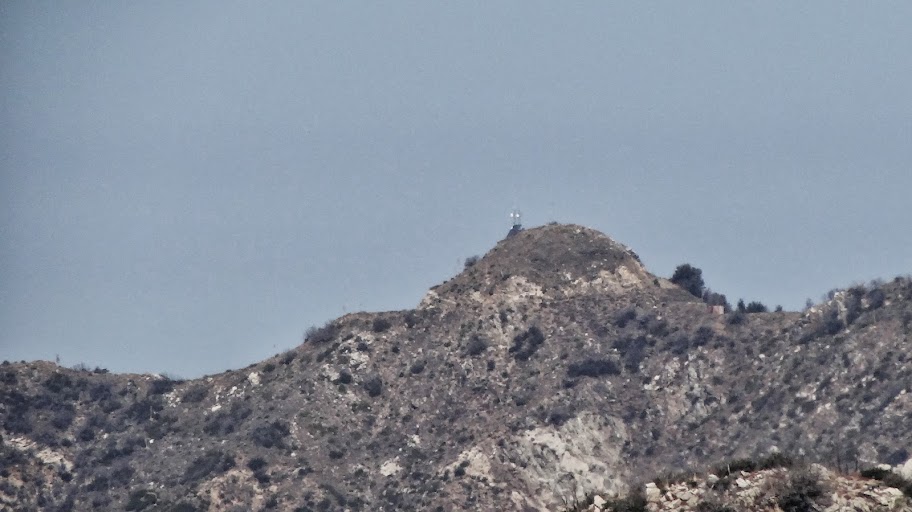
But what's it pointing at? Darned if I know, but here's a photo taken looking right down the tube. Anybody know what that is?
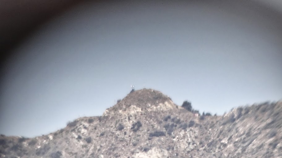
Image

There's some kind of antenna on it. Here's little clearer shot (with no sidewalls of the tube):
Image

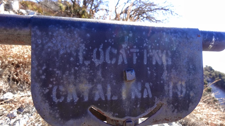
Lots more view tubes en route, including some that can just barely be read like this one "Locating Catalina Is."
Image

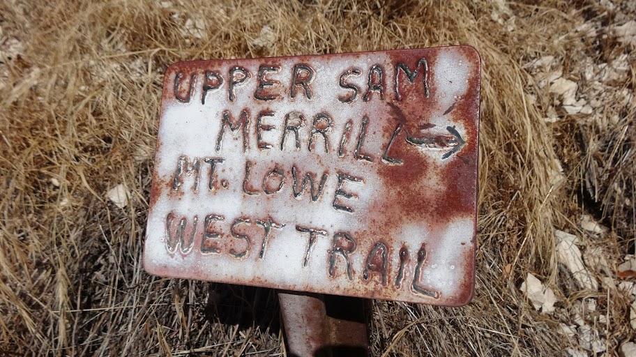
One encounters 2N501 again at about point "G".
Image

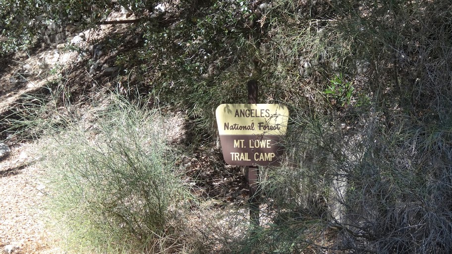
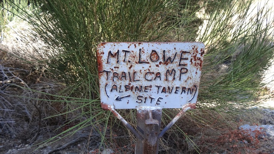
Crossing the road, we took the short trail down to Mt. Lowe Trail Camp.
Image

The sign is a little brushy, but...
Image

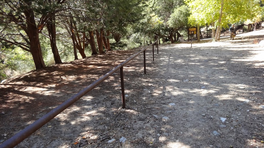
... the camp itself is fine.
Image

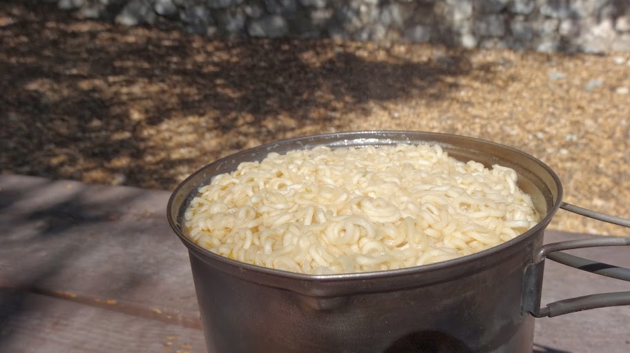
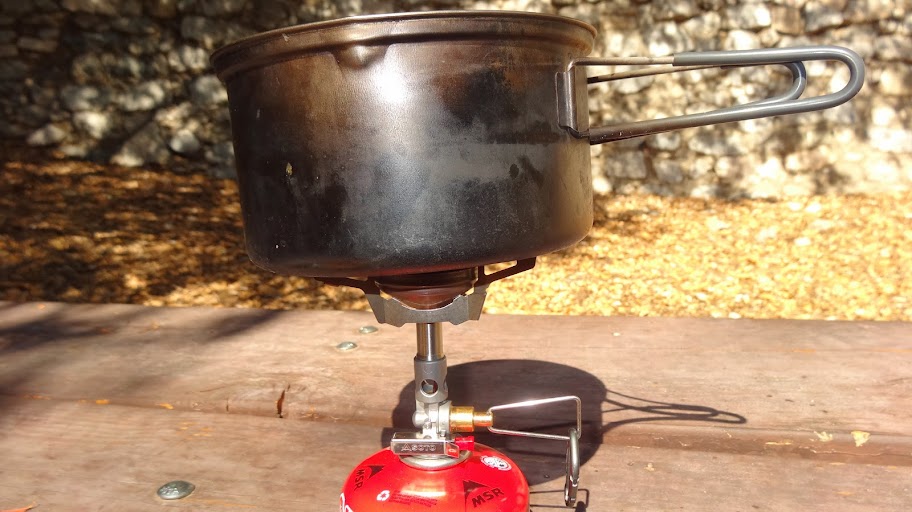
We got a little water from the tank. The tank is nearly dry, and the water tunnel itself was dry according to the backpacker who was staying there. With the water, we made some nice noodles for lunch.
Image

Image

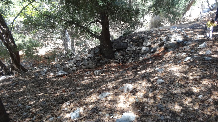
After lunch, we headed up the short side trail back to the road. En route, we passed some of the foundations of the old housekeeping cabins that used to dot the trail.
Image

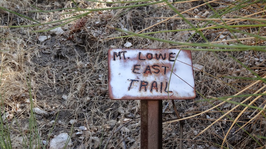
Reaching the road, we turned right, and took the Mt. Lowe East Trail for our return leg.
Image

After perhaps a quarter of a mile, we came to a junction with a short cut trail to Inspiration Point
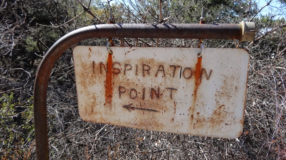
Image

From the junction, we could see the shelter at Inspiration Point quite clearly.
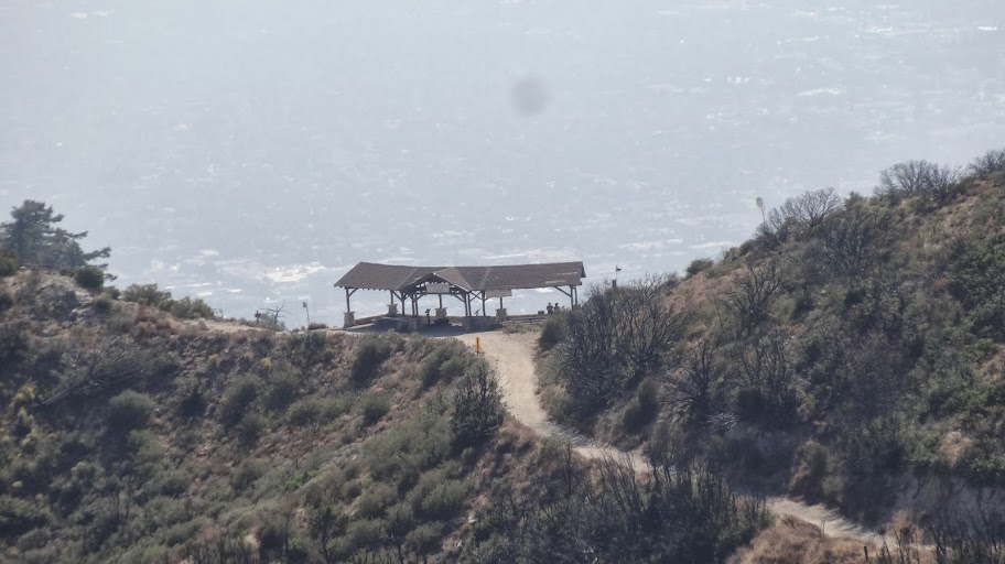
Image

From here, our trail swings out to the east to get around the shoulder of Mt. Lowe (Pt. "J") and then links up with the trail coming up from Markham Saddle at point "D". From the junction at point "D", we retraced our steps back to our car.

I very fun outing on a very fine day. My four year old daughter did about 90% of the hike under her own power. On last week's hike in the San Jacinto Mountains, she did 100% of the hike under her own power. Pretty cool progress she's making these days! :)

HJ

Re: Mount Lowe Loop from Eaton Saddle 10/12/2013

Posted: Sun Oct 13, 2013 6:48 pm
by Sean
Nice report and pics. I'm fairly certain that tube points to Josephine. Here she is as seen from Strawberry.

Image

Re: Mount Lowe Loop from Eaton Saddle 10/12/2013

Posted: Sun Oct 13, 2013 7:23 pm
by Hikin_Jim
Looks like a match, Sean. I half wondered if it were Josephine since the peak in question clearly has a road on it as does Josephine. I didn't remember any antennae on Josephine, but I haven't been over there in a number of years.

HJ

Re: Mount Lowe Loop from Eaton Saddle 10/12/2013

Posted: Sun Oct 13, 2013 9:48 pm
by HikeUp
I agree that it is Josephine. I remember looking through the tube.
Josephine from 5 years ago...
Image

Re: Mount Lowe Loop from Eaton Saddle 10/12/2013

Posted: Mon Oct 14, 2013 10:12 am
by Hikin_Jim
I can also see antennae on Josephine in the satellite view. Seems like there's a consensus that it's Josephine.

Guess I'll have to re-visit ol' Jo one of these days. I'm not real big on fire road hikes, but it might be a good one to do with my daughter.

HJ

Re: Mount Lowe Loop from Eaton Saddle 10/12/2013

Posted: Mon Oct 14, 2013 12:17 pm
by turtle
Great trip report Jim...
Hikin_Jim wrote: Note that the topo map is wrong. The topo map places the junction far lower. Nope. Switch to satellite view, and you can see the junction clearly. The topo map also labels the trail on the east side of the mountain as "MT LOWE WEST TRAIL." Um, no. Oddly enough, the west trail is on the west side of the mountain. Sorry, USGS. Fail.
I've always been puzzled by that!

Mt. Lowe is a special place for me -- just over ten years ago I asked my wife to marry me there. :D

Re: Mount Lowe Loop from Eaton Saddle 10/12/2013

Posted: Mon Oct 14, 2013 3:26 pm
by Hikin_Jim
Mt. Lowe is a special place for me -- just over ten years ago I asked my wife to marry me there. :D
Hey! Congratulations!
Hikin_Jim wrote: Note that the topo map is wrong. The topo map places the junction far lower. Nope. Switch to satellite view, and you can see the junction clearly. The topo map also labels the trail on the east side of the mountain as "MT LOWE WEST TRAIL." Um, no. Oddly enough, the west trail is on the west side of the mountain. Sorry, USGS. Fail.
I've always been puzzled by that!
Yeah, it's pretty clear when you're climbing it that "something is wrong here" vis a vis the map. If you toggle to "satellite view" on Acme Mapper, you can pretty clearly see that the junctions are where I placed the lettered points -- no where near where the topo map says they are.
Image

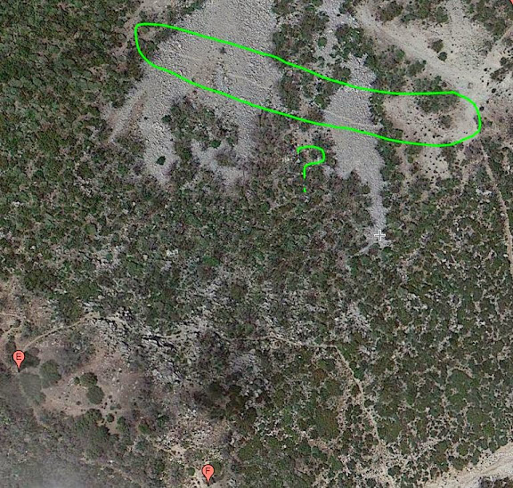
It does look like there's some trace of something over where the USGS says there's a trail. Not sure what it is.
Image

HJ

Re: Mount Lowe Loop from Eaton Saddle 10/12/2013

Posted: Mon Oct 14, 2013 4:08 pm
by Sean
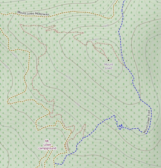
Open Cycle has it right. But they use the metric system.

Image

Re: Mount Lowe Loop from Eaton Saddle 10/12/2013

Posted: Mon Oct 14, 2013 6:22 pm
by Hikin_Jim
Yeah, Open Cycle's map looks pretty good. They even have the use trail that people have worn in that leads to the top from the summit junction although I don't know why people go that way.

I notice that Open Cycle does not show the trail down to the Trail Camp from the road.

Again, though, there is something further north. I've seen it before and remarked on it in passing. Not sure what it is. Guess I'll just have to check it out some time.

Image

HJ

Re: Mount Lowe Loop from Eaton Saddle 10/12/2013

Posted: Mon Oct 14, 2013 8:35 pm
by Sean
Hikin_Jim wrote: Again, though, there is something further north.
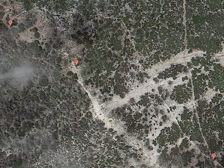
My guess is that it was part of the original Cliff Trail to Mt. Wilson. It may have crossed the north face of Lowe en route to Markham/Lowe Saddle. You can sort of see/imagine the old line on this Google aerial.

Image

Re: Mount Lowe Loop from Eaton Saddle 10/12/2013

Posted: Mon Oct 14, 2013 9:23 pm
by Hikin_Jim
Sean wrote: My guess is that it was part of the original Cliff Trail to Mt. Wilson. It may have crossed the north face of Lowe en route to Markham/Lowe Saddle. You can sort of see/imagine the old line on this Google aerial.

Image
Ha! Even Google Maps has a more accurate trace on the trails than the USGS.

2N50? Just "2N50?" The USGS map appears to append another digit after 2N50. It looks like 2N501, but I could be wrong. I know a four position designator is for the primary road, but subparts will be labeled with an additional digit, typically a letter. I can't be sure what it says on the USGS map because the scan quality is so bad. I would download a high res copy, but of course the website is closed due to the gov't shut down. Rolling Eyes

Yeah, maybe that trace is a part of the old Cliff Trail, although it goes to Markham Saddle which doesn't make sense for the Cliff Trail to do. Not sure. I'll have to explore it some time.

HJ

Re: Mount Lowe Loop from Eaton Saddle 10/12/2013

Posted: Mon Oct 14, 2013 9:54 pm
by Sean
Hikin_Jim wrote: 2N50? Just "2N50?" The USGS map appears to append another digit after 2N50. It looks like 2N501, but I could be wrong.
The road is/was signed 2N50 at both ends (Chaney Trail and Eaton Saddle gates). On the USGS topo, however, they call the (lower, paved) Sunset Ridge portion 2N50.2 and the (upper, unpaved) Mt. Lowe portion 2N50.1. I believe they use the decimals to designate portions of the same primary road. In cases with road forks/tributaries, letters are used instead.

Re: Mount Lowe Loop from Eaton Saddle 10/12/2013

Posted: Mon Oct 14, 2013 10:10 pm
by HikeUp
http://caltopo.com/map.html#ll=34.22057 ... 9&z=16&b=f

2N50A (no decimal) goes from Mt. Lowe Camp south past Inspiration Point shelter to what some call Muir Peak but which the topo linked to above labels nothing! Seriously inconsistent.

You can see the decimal point on this map too...2N50.1 and 2N50.2.

Re: Mount Lowe Loop from Eaton Saddle 10/12/2013

Posted: Tue Oct 15, 2013 9:23 am
by Hikin_Jim
Thanks, HikeUp. That's a super clear map. I can see the decimal points.

I get the pattern. Letters designate a spur. Decimal places designate portions. The upper portion of the road is 2N50.1. The lower portion is 2N50.2. The spur to Inspiration etc is 2N50A. Makes sense.

Even in its clarity, that map is still wrong. It lists the east trail as "west", and it shows the junction on the east side as much lower than it is as well as showing the northern portion of the trail as much lower than it is. It doesn't show the trail to the summit at all.

HJ

Re: Mount Lowe Loop from Eaton Saddle 10/12/2013

Posted: Tue Oct 15, 2013 10:00 am
by HikeUp
Hikin_Jim wrote: Even in its clarity, that map is still wrong.
I'd estimate there is more wrong than right with those maps.

Re: Mount Lowe Loop from Eaton Saddle 10/12/2013

Posted: Tue Oct 15, 2013 10:12 am
by Hikin_Jim
Yeah, pretty much. Is there a way to get an overlay of the topo and the satellite photo? The Satellite photo is pretty much crystal clear on the Mt. Lowe East Trail and all but a few woodsy sections of the Mt. Lowe West Trail.

HJ

Re: Mount Lowe Loop from Eaton Saddle 10/12/2013

Posted: Tue Oct 15, 2013 10:21 am
by HikeUp
Hikin_Jim wrote: Is there a way to get an overlay of the topo and the satellite photo?
Yes, CalTopo has a layers menu thingy (Aerial Topo Hybrid) on the left side, then in upper right you can choose which topo to use in the overlay. Transparency can be adjusted too. Just experiment.

Re: Mount Lowe Loop from Eaton Saddle 10/12/2013

Posted: Tue Oct 15, 2013 11:10 am
by Sean
I understand that government employees must operate at a snail's pace to maintain "job security." But after a hundred years you would think somebody would get around to adding the summit trail to Mt. Lowe.

http://caltopo.com/map.html#ll=34.23004 ... =15&b=1900

Re: Mount Lowe Loop from Eaton Saddle 10/12/2013

Posted: Wed Oct 23, 2013 11:08 am
by Hikin_Jim
Sean wrote: I understand that government employees must operate at a snail's pace to maintain "job security." But after a hundred years you would think somebody would get around to adding the summit trail to Mt. Lowe.
Topo maps used to have a statement printed on them that one should bring errors to the attention of the USGS and gave an address to write to. I don't recall seeing that on any of my current crop of maps, but I haven't looked lately.

HJ

Re: Mount Lowe Loop from Eaton Saddle 10/12/2013

Posted: Wed Oct 23, 2013 11:32 am
by VermillionPearlGirl
This report was very encouraging. This used to be a regular hike of mine, in fact it was the hike I took friends and visitors on when they wanted to go on a hike because it's not too difficult and has a lot of fun history. But I've only been once since the station fire and found the poodle dog so oppressive I haven't been back! But if you've gotten through unscathed that's very encouraging.

Although all your impressive map talk is a little discouraging. I need to take a class or something on map reading :) I read a NOLS book once to get the basics but there's obviously always more to know!

Re: Mount Lowe Loop from Eaton Saddle 10/12/2013

Posted: Wed Oct 23, 2013 12:11 pm
by Sean
Hikin_Jim wrote: Topo maps used to have a statement printed on them that one should bring errors to the attention of the USGS and gave an address to write to.
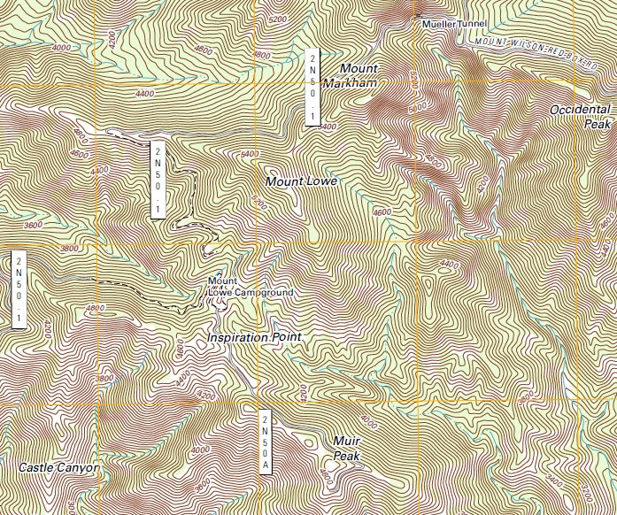
They also used to have trails and peak elevations.

Image

Notice anything missing? I guess we'll have to wait for the next "update" to see if they figure out how to include the old layers on their new 2012 CGI map.

Re: Mount Lowe Loop from Eaton Saddle 10/12/2013

Posted: Wed Oct 23, 2013 12:26 pm
by HikeUp
That's an awful topo map. All the contour lines look the same, not easy to follow the major increments. No spot/peak elevations. No trails, but maps that have trails often have them in the wrong spot anyway. I think you'd be better off with no map than having that one :D

Re: Mount Lowe Loop from Eaton Saddle 10/12/2013

Posted: Wed Oct 23, 2013 1:20 pm
by Hikin_Jim
I think that's the so called "US Topo" of 2012. All the lines appear to be computer generated, perhaps from some digital storage (rather than image storage). A lot of smoothing appears to result which basically renders the map useless for terrain association (and it makes my eyes go screwy). TOTALLY USELESS.

They're building the map out in layers as I understand it. The trails layer will come later.

No print edition is planned. It seems that there's an assumption on the part of the USGS that everyone will be using laptops or at least GPS displays and that paper maps are obsolete. Well, that's great if you work in an air conditioned office, but paper maps are still the media of choice for field work (hikers, geologists, miners, hunters, canyoneers, off-roaders, etc.).

HJ

Re: Mount Lowe Loop from Eaton Saddle 10/12/2013

Posted: Wed Oct 23, 2013 2:45 pm
by Sean
Had to go back to the 1894 Los Angeles map to find that trail fragment on the north slope of Lowe. Looks like it was merely part of the original Lowe West Trail, which was rerouted later. Perhaps you NHPS members should go up and restore that fragment. Then you could circle Lowe without ever touching the summit.

Image

Re: Mount Lowe Loop from Eaton Saddle 10/12/2013

Posted: Wed Oct 23, 2013 3:34 pm
by Hikin_Jim
I'll give you a "maybe" on that. I'm not convinced that the 1894 map is correct or that it shows that old trail.

HJ

Re: Mount Lowe Loop from Eaton Saddle 10/12/2013

Posted: Wed Oct 23, 2013 3:39 pm
by Hikin_Jim
VermillionPearlGirl wrote: This report was very encouraging. This used to be a regular hike of mine, in fact it was the hike I took friends and visitors on when they wanted to go on a hike because it's not too difficult and has a lot of fun history. But I've only been once since the station fire and found the poodle dog so oppressive I haven't been back! But if you've gotten through unscathed that's very encouraging.
There's still a lot of PDB, but it's pretty much avoidable. None of the three of us that went came down with any rashes. Note that we all wore long pants and long sleeves.
VermillionPearlGirl wrote: Although all your impressive map talk is a little discouraging. I need to take a class or something on map reading :) I read a NOLS book once to get the basics but there's obviously always more to know!
The once-a-year Wilderness Travel Course (WTC) is coming up in January. Their map and compass instruction is excellent. I went through the course in 2007 -- after I had already been through Boy Scouts, the US Army, and Sierra Club leadership training, and I still learned some things and got some practical tips. It covers a whole lot more than just map reading. They go into gear selection, first aid, trip planning, snow travel, non-technical (no ropes or anything) rock travel, etc. It's a really comprehensive A to Z course for people interested in year-round hiking, backpacking, and cross country/back country travel.

HJ

Re: Mount Lowe Loop from Eaton Saddle 10/12/2013

Posted: Thu Oct 24, 2013 4:49 pm
by VermillionPearlGirl
I like courses :) HJ seems to be a on mission to craft my Christmas list for the year...

Re: Mount Lowe Loop from Eaton Saddle 10/12/2013

Posted: Thu Oct 24, 2013 5:30 pm
by Hikin_Jim
:lol: :lol:

HJ

Re: Mount Lowe Loop from Eaton Saddle 10/12/2013

Posted: Sun Feb 23, 2014 6:21 pm
by Uncle Rico
Followed in HJ's steps today, circling Mt. Lowe by dropping down the west trail and ascending the east trail. Where the trail crosses over the ridge leading to Mt. Markham I stopped to get a couple of pics of the trail fragment (or whatever you want to call it) HJ talks about above. It clearly appears to be a remnant of an old trail, but I didn't follow it out that far because I was improperly attired. Here's a couple of pics.


From the trail heading to Mt. Lowe from Markham saddle, the trail remnant is clearly visible cutting across the north slope of Mt. Lowe.


Here's a closer view


At the ridge leading to Markham, you can clearly see a path leading west across the rocky north face of Mt. Lowe.


Here you can see the path cutting through the boulders.


From the trail fragment looking back to the ridge leading to Markham.

Re: Mount Lowe Loop from Eaton Saddle 10/12/2013

Posted: Mon Feb 24, 2014 7:36 am
by HikeUp
Here's a view of the north side of Lowe...you can easily imagine the trail is there to get to the other side of the mountain and connect with the west mt. lowe trail without gain/loss. Or maybe there is gold.

Sorry for the huge photo bomb but tough...
Image