Baker Creek from Big Pine
Posted: Wed Sep 04, 2013 3:35 pm
On Labor Day, we hiked from the Big Pine trailhead to Baker Creek. The statistics are 12.4 miles round trip with 3400 feet of elevation gain. This trail passes through an amazing variety of landscapes. Here are some pictures:
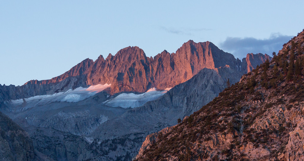
The early morning light was pretty on Middle Palisade and Norman Clyde Peak.
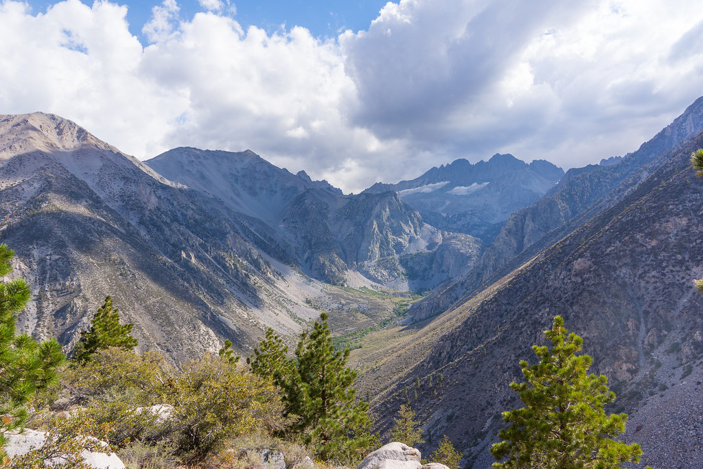
After passing the junction with the North Fork trail, you hike up a slope to where the trail turns north. There are nice views of both the north and south forks of Big Pine Canyon.
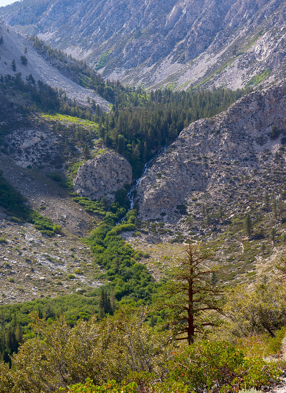
The trail dips through a small valley.
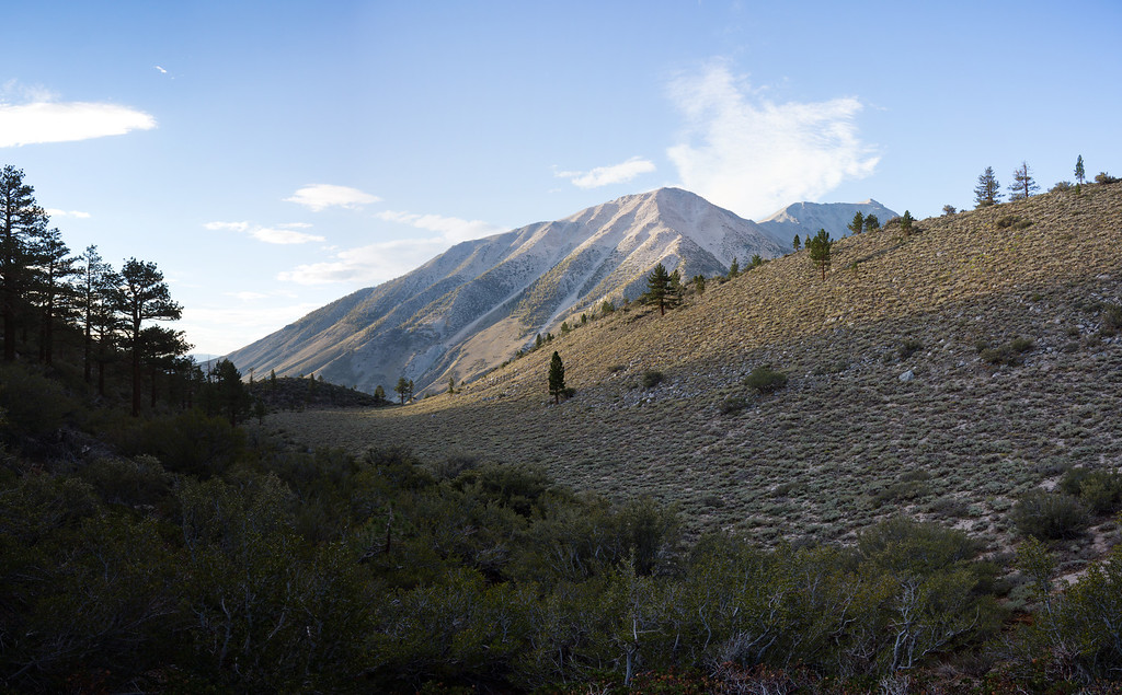
Logging Flat comes up next. It is not exactly flat since the average grade of the trail here is 16%.
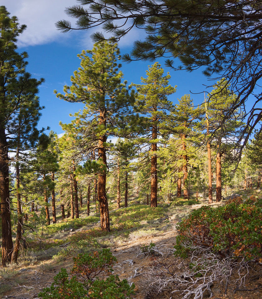
Past the flat, you continue up a slope with the Palisades looming into view.
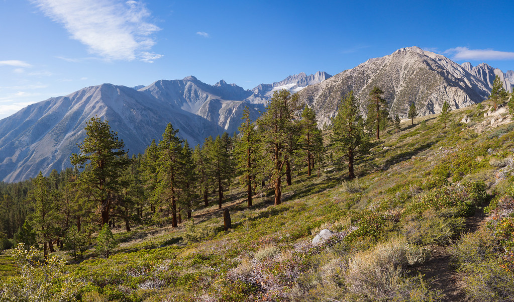
The trail peaks at a huge, flat, rocky plateau elevation 10,267 feet. The monsoon moisture that came up from Mexico made for pretty clouds.
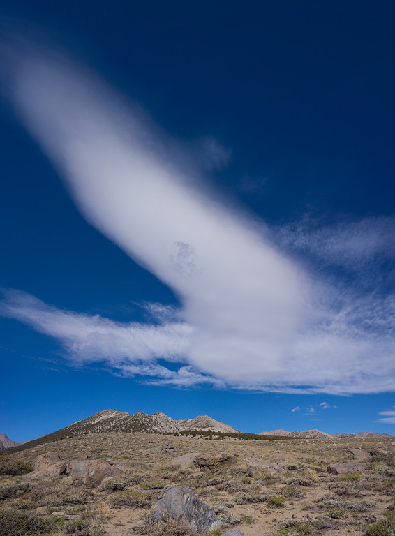
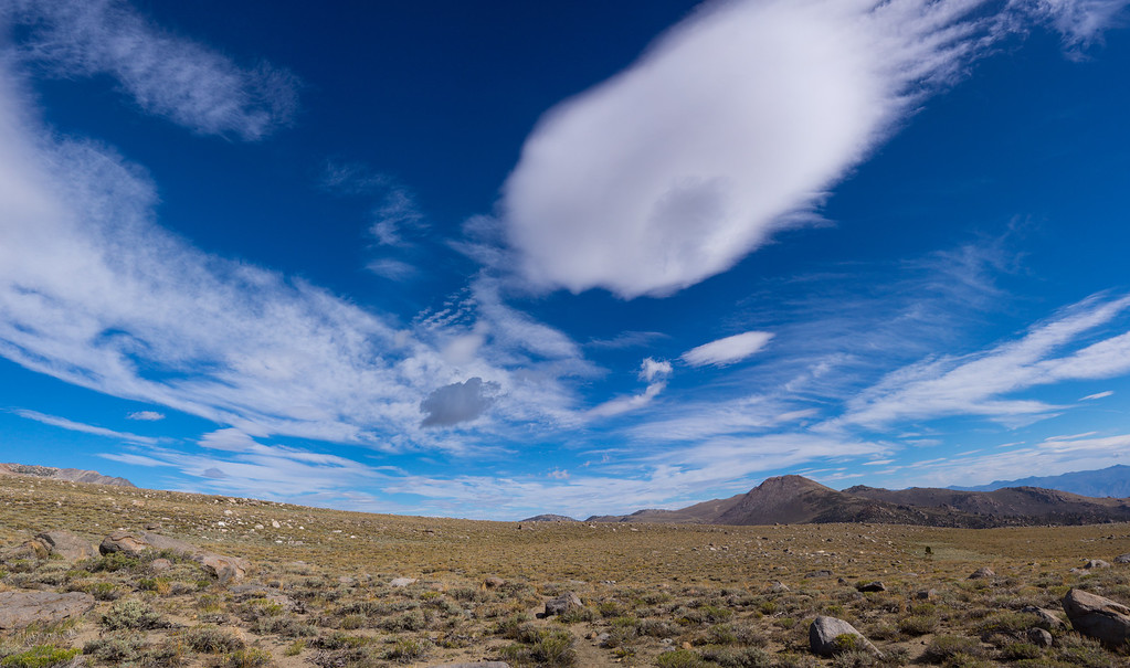
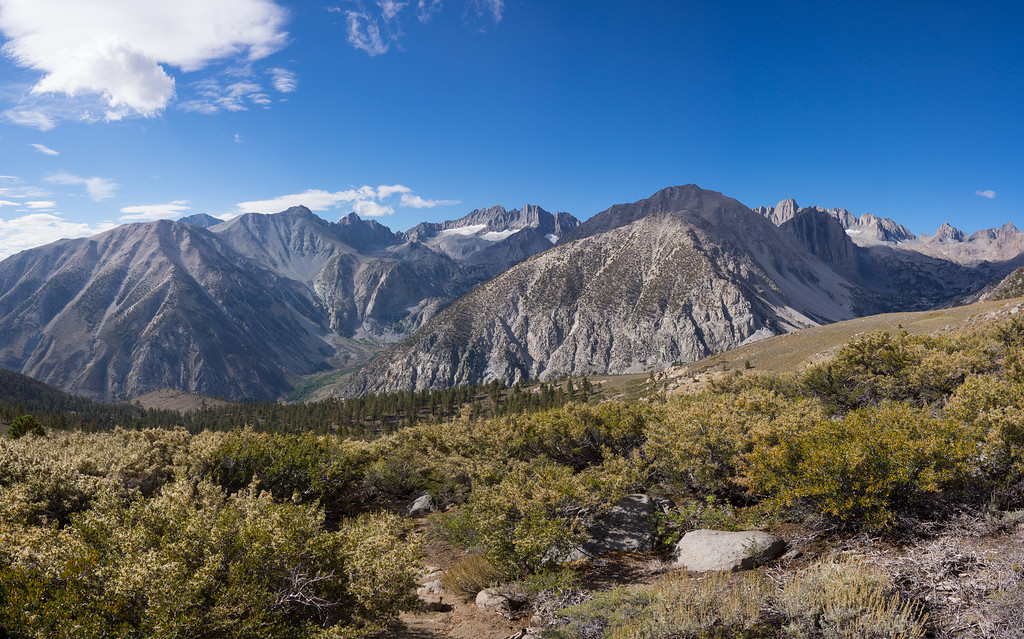
The view south is one that you could never get tired of. On the far right, you can see a piece of the Palisade Glacier.
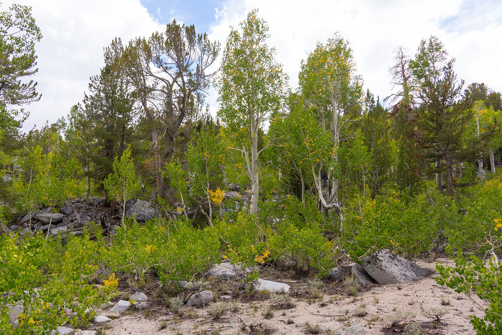
Crossing the plateau, you enter a grove of aspens where the leaves were just beginning to turn.
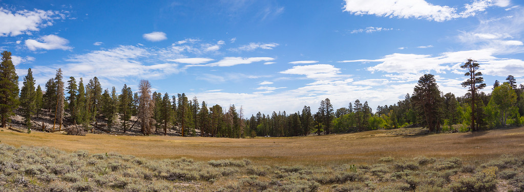
High Meadows must be beautiful in the spring, but now it is just dried up and brown.
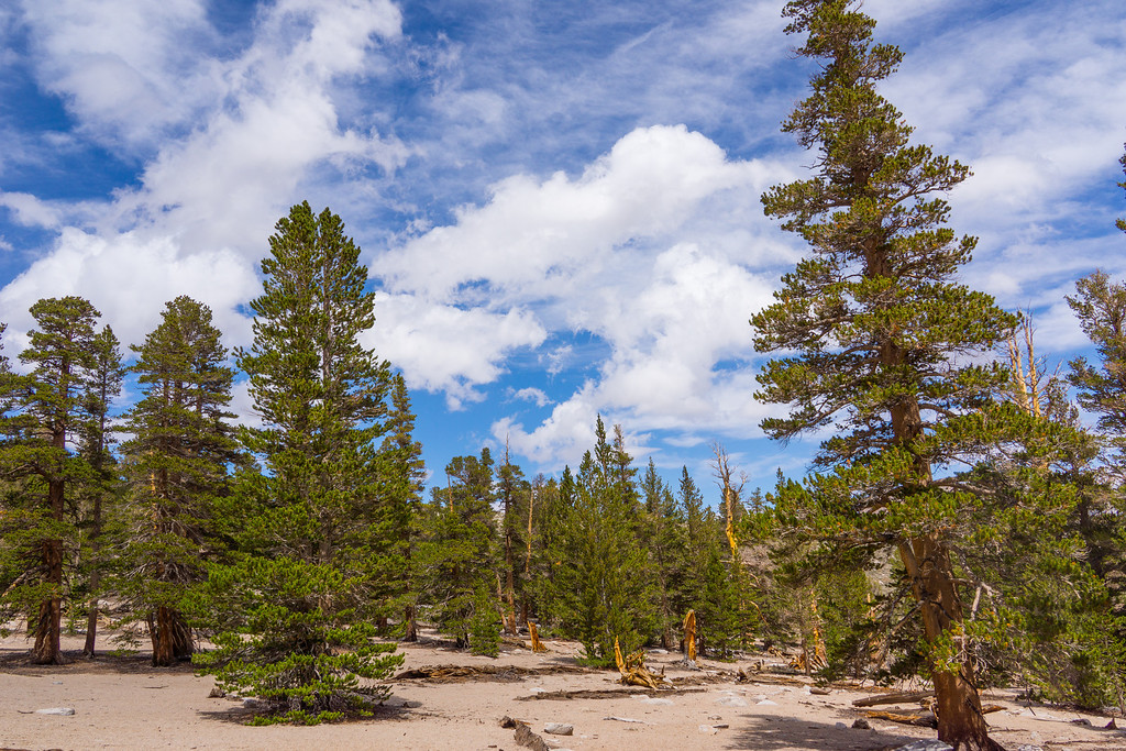
The next section is widely spaced trees with loose, sandy soil. Through here the trail gets faint in places. Watch for cairns.
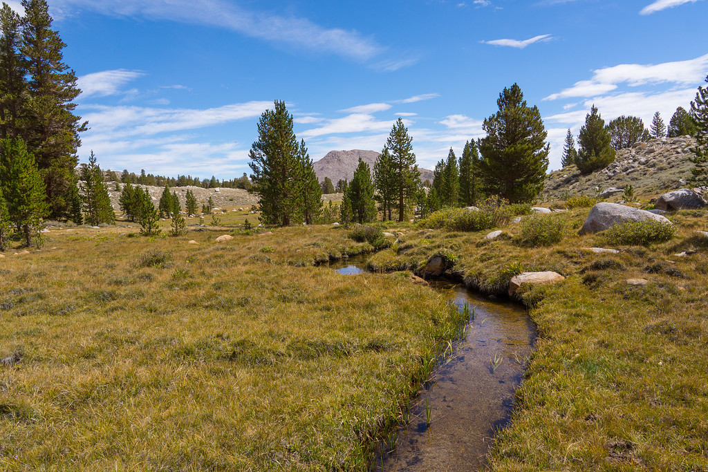
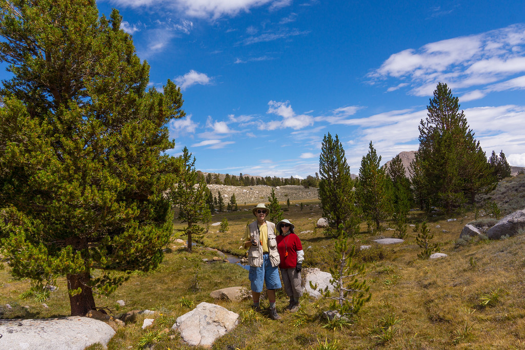
If you lose the trail, just head due north. You will hit Baker Creek. OK, it's not a mighty river, but the water looked good after 6 miles of dry land.
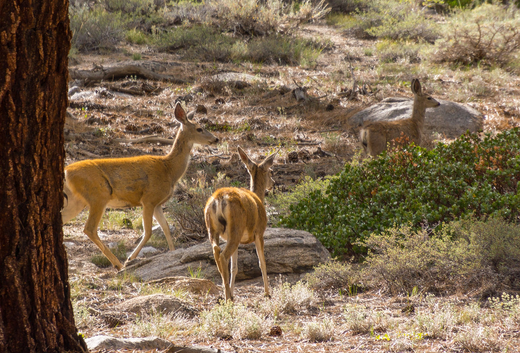
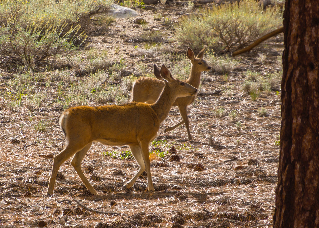
A herd of deer greeted us on the return.
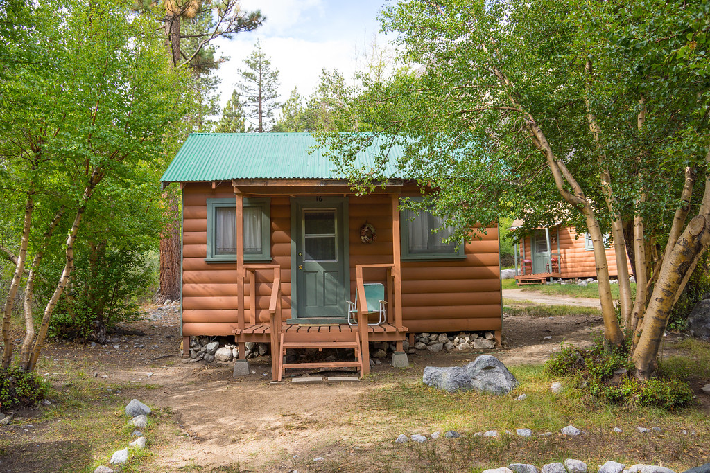
We stayed at a cabin at Glacier Lodge. It is so nice being able to hike from the cabin instead if driving to the trailhead.
The early morning light was pretty on Middle Palisade and Norman Clyde Peak.

After passing the junction with the North Fork trail, you hike up a slope to where the trail turns north. There are nice views of both the north and south forks of Big Pine Canyon.


The trail dips through a small valley.

Logging Flat comes up next. It is not exactly flat since the average grade of the trail here is 16%.

Past the flat, you continue up a slope with the Palisades looming into view.

The trail peaks at a huge, flat, rocky plateau elevation 10,267 feet. The monsoon moisture that came up from Mexico made for pretty clouds.


The view south is one that you could never get tired of. On the far right, you can see a piece of the Palisade Glacier.

Crossing the plateau, you enter a grove of aspens where the leaves were just beginning to turn.

High Meadows must be beautiful in the spring, but now it is just dried up and brown.

The next section is widely spaced trees with loose, sandy soil. Through here the trail gets faint in places. Watch for cairns.

If you lose the trail, just head due north. You will hit Baker Creek. OK, it's not a mighty river, but the water looked good after 6 miles of dry land.


A herd of deer greeted us on the return.


We stayed at a cabin at Glacier Lodge. It is so nice being able to hike from the cabin instead if driving to the trailhead.
