Mt. Waterman (the easy way)
Posted: Mon Jun 17, 2013 9:03 am
Made a run to Mt. Waterman yesterday before Father's Day festivities were in full swing. Have been wanting to make the trek from 3 Points but didn't have the time yesterday so I opted for the shorter trail the starts on the south side of ACH near Buckhorn.
As most of you probably already know, this is a nice easy walk in the woods. The trail is well-maintained and easy to follow, the elevation gain is minimal and gradual (about 1300 feet I believe), the distance is short (~6 miles RT), and the scenery is top notch. As an extra added bonus, there are a bunch of boulders at and near the summit to explore and climb upon.
Temps were in the low 70s with a slight breeze blowing. Perfect.
Some pics.
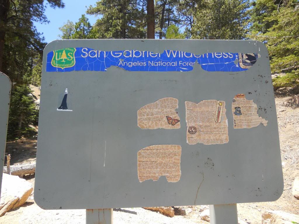
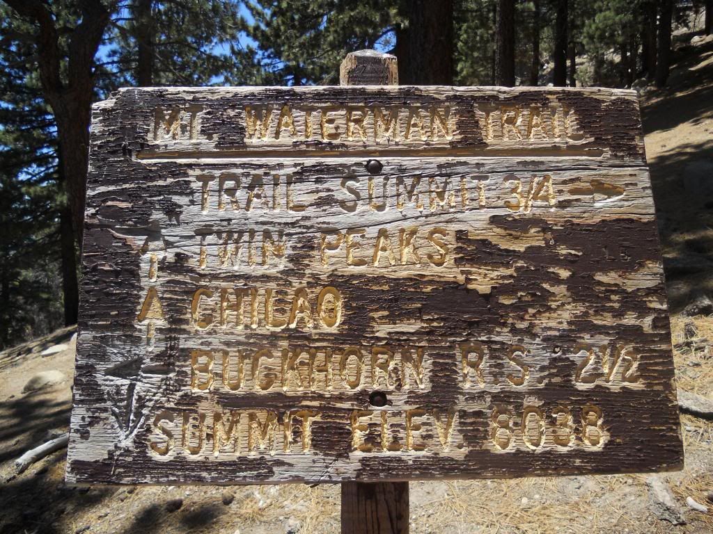
Very informative signage at trialhead. At least it's not tagged...yet.
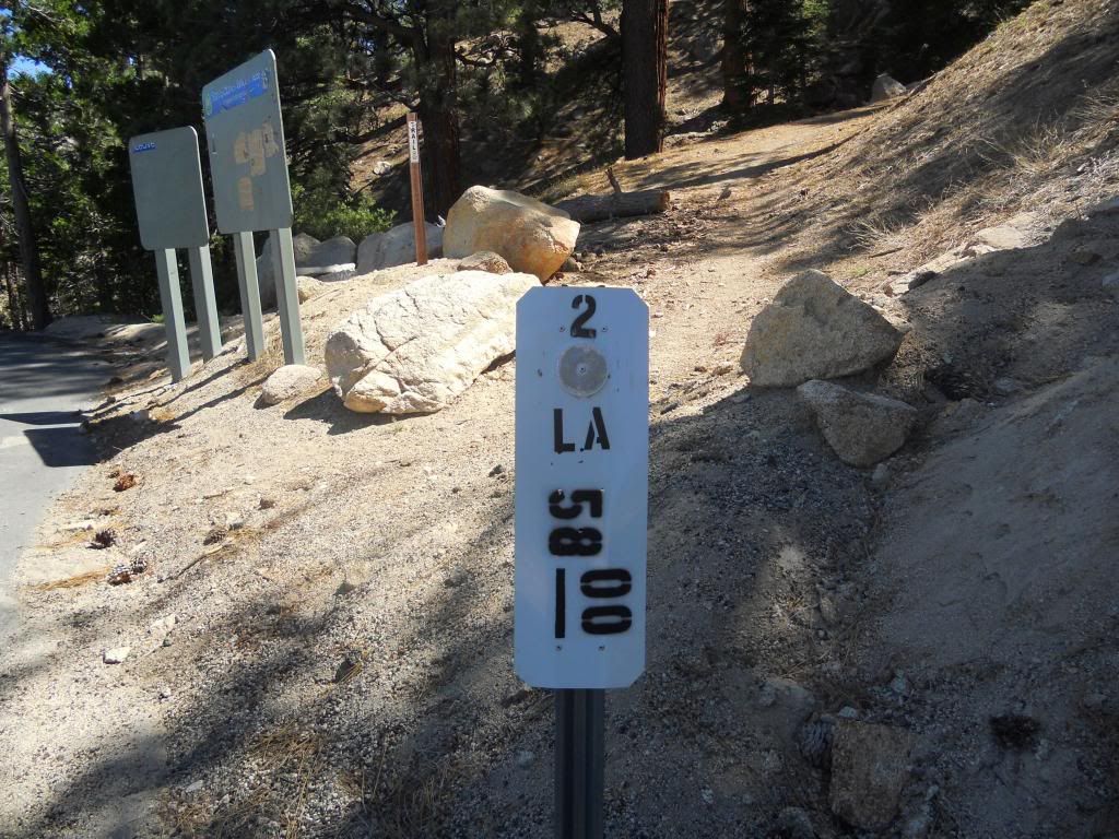
Look for this highway marker at the trailhead instead.
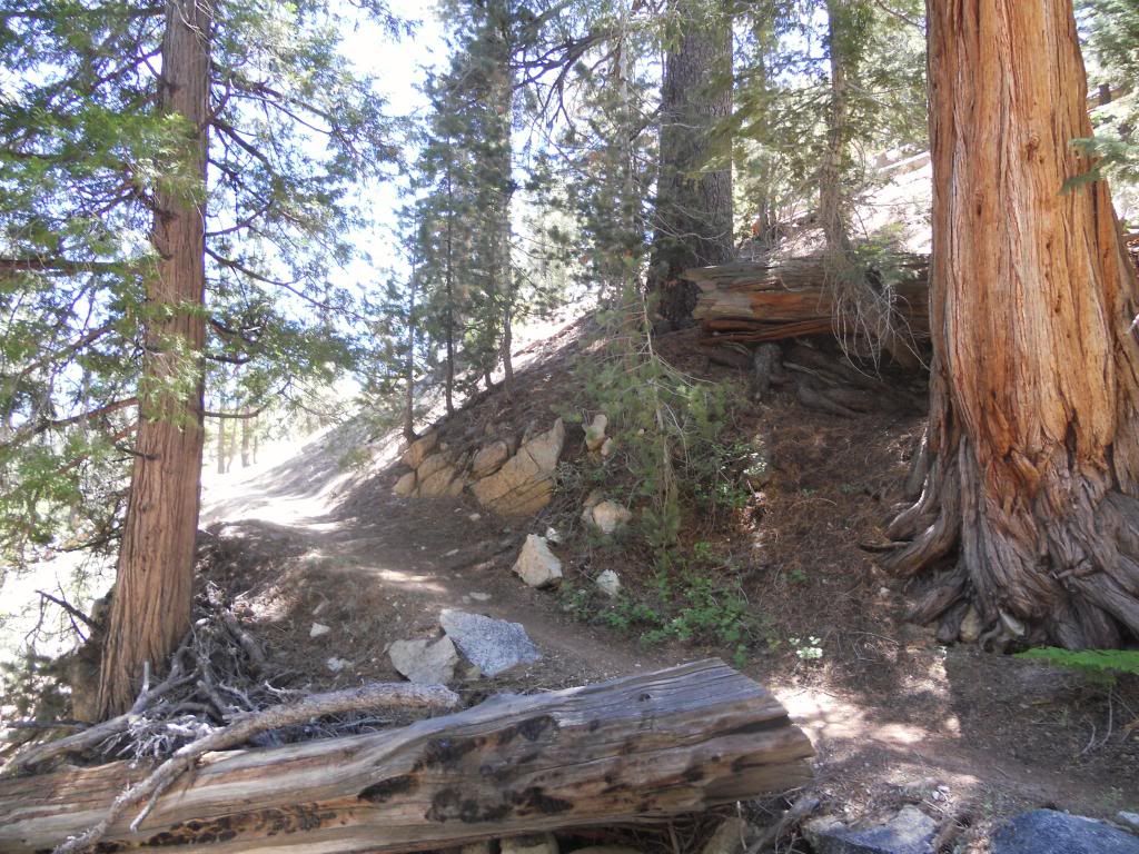
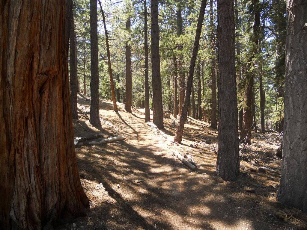
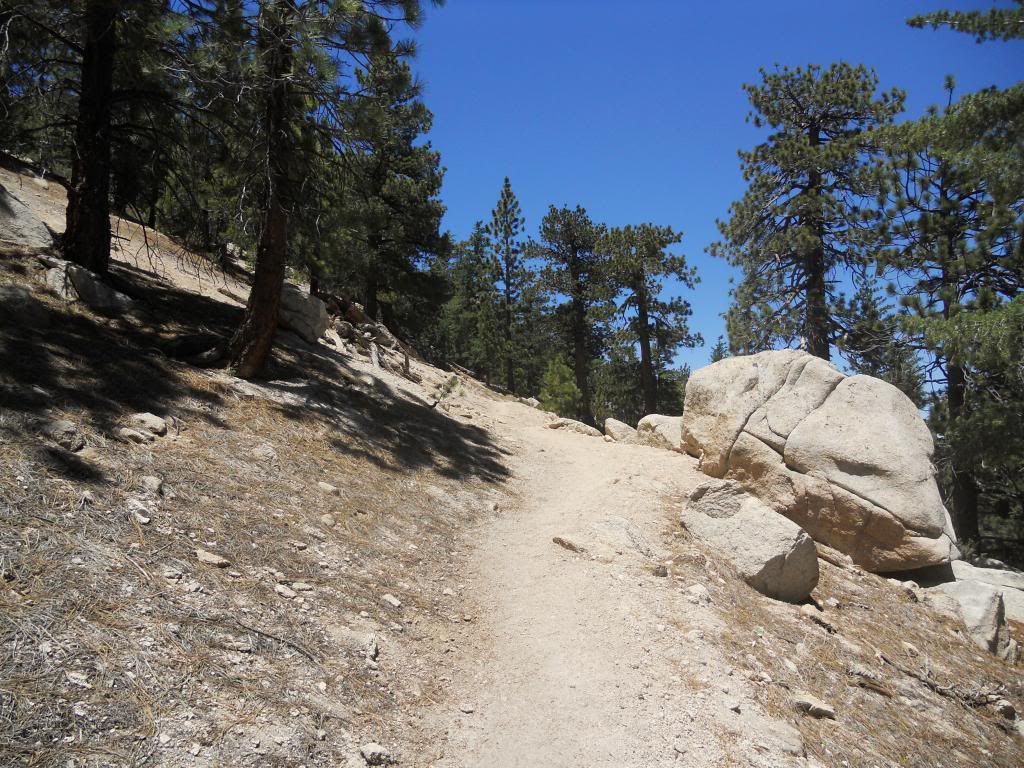
Getting started. The trail is well shaded in many places.
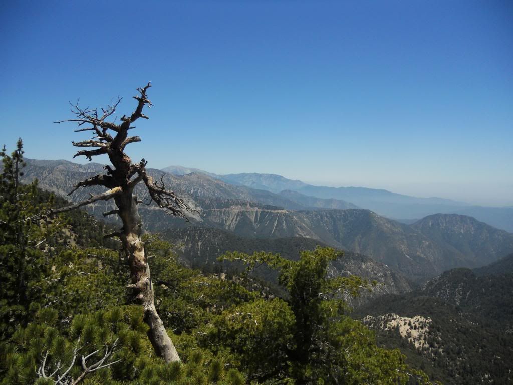
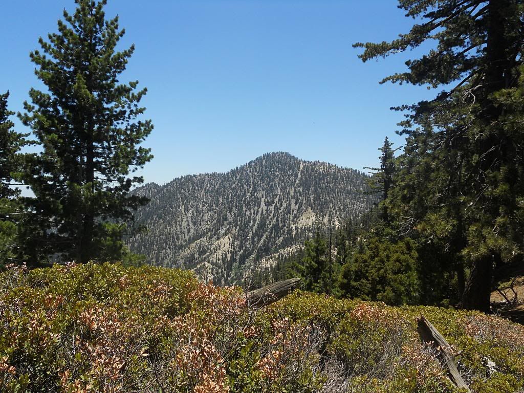
Looking north from the trail. I'm not that familiar with this area of the forest, so you guys can correct me if I'm wrong, but I think Winston Peak is to the left, Buckhorn is to the right, and PV Ridge is in the center?
More trail view
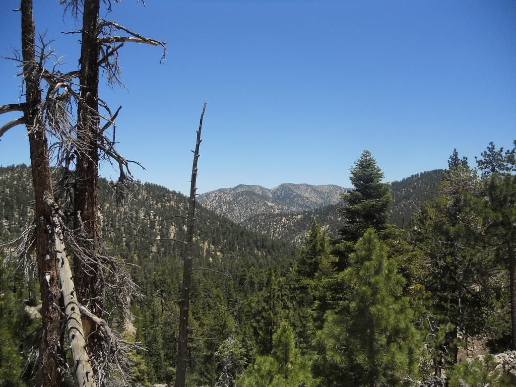
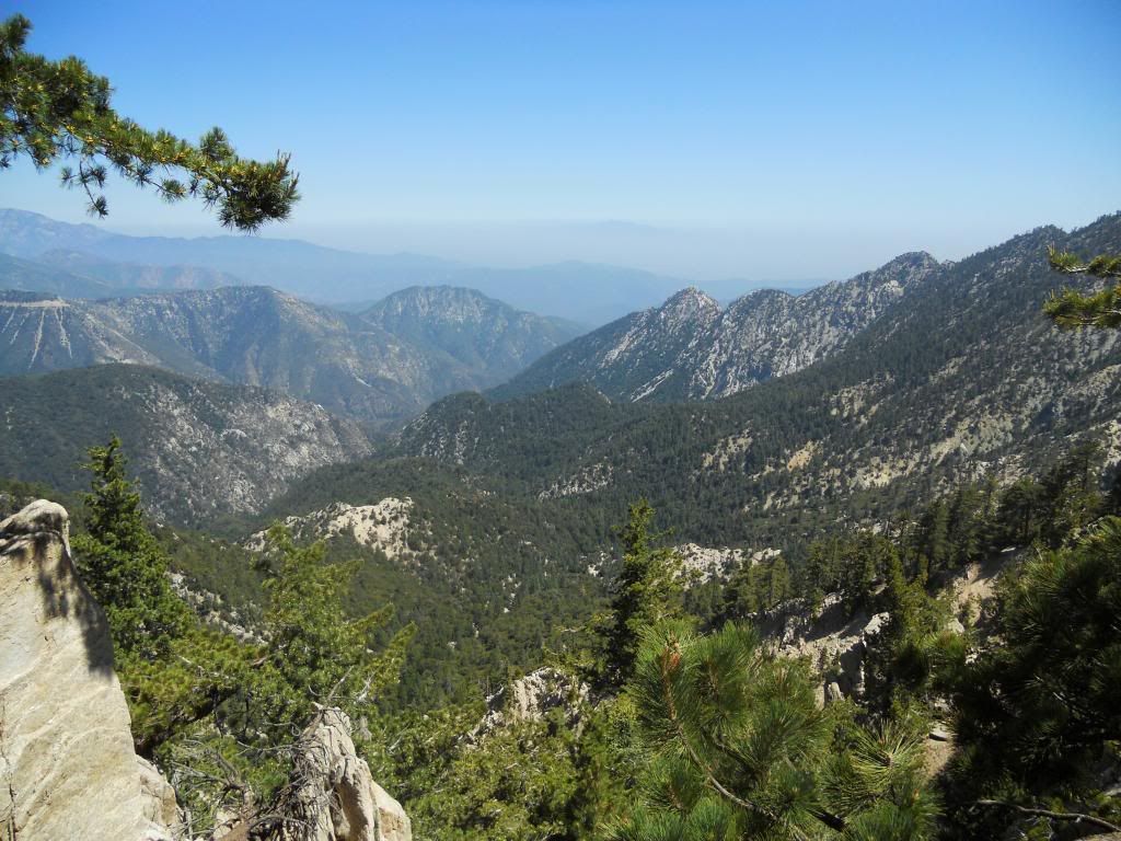
View east
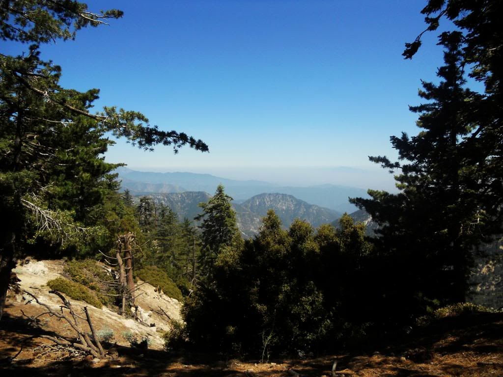
View southeast
Not sure on this one. Smith Mtn or Peak 5641?
One of the twins
Ridgeline running southeast from Twin Peaks
Trail junction with trail coming up from 3 Points
Closing in on the summit
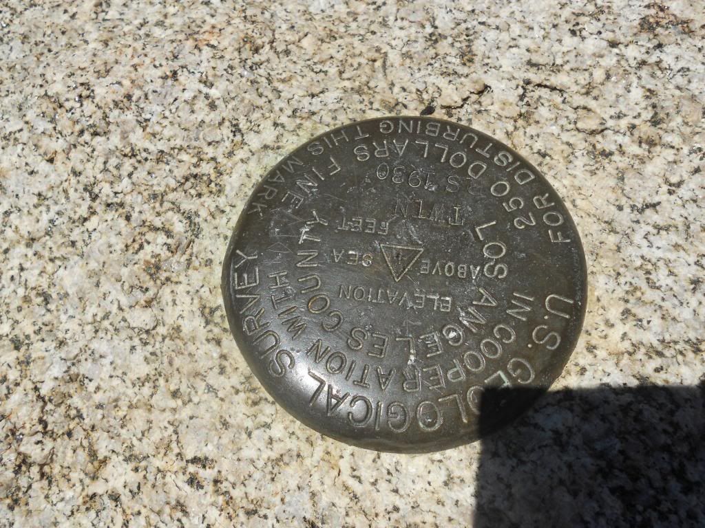
Survey marker on the summit. I had to scramble over a couple of the boulders to locate this. Didn't see a summit register.
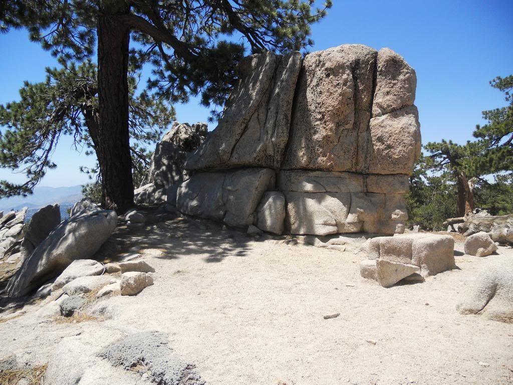
Nice little dry camp spot on the summit
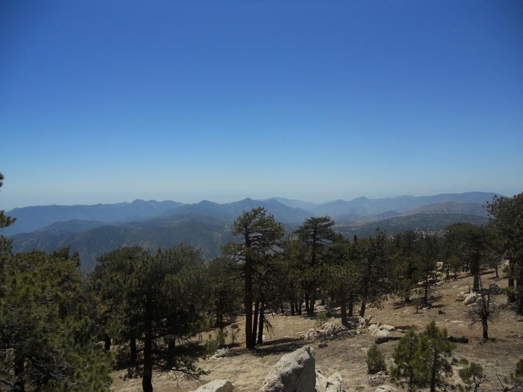
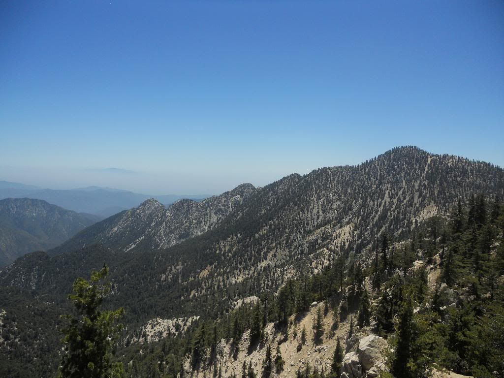
View west from the summit
The end.
As most of you probably already know, this is a nice easy walk in the woods. The trail is well-maintained and easy to follow, the elevation gain is minimal and gradual (about 1300 feet I believe), the distance is short (~6 miles RT), and the scenery is top notch. As an extra added bonus, there are a bunch of boulders at and near the summit to explore and climb upon.
Temps were in the low 70s with a slight breeze blowing. Perfect.
Some pics.

Very informative signage at trialhead. At least it's not tagged...yet.

Look for this highway marker at the trailhead instead.

Getting started. The trail is well shaded in many places.

Looking north from the trail. I'm not that familiar with this area of the forest, so you guys can correct me if I'm wrong, but I think Winston Peak is to the left, Buckhorn is to the right, and PV Ridge is in the center?

More trail view

View east

View southeast

Not sure on this one. Smith Mtn or Peak 5641?

One of the twins

Ridgeline running southeast from Twin Peaks

Trail junction with trail coming up from 3 Points

Closing in on the summit

Survey marker on the summit. I had to scramble over a couple of the boulders to locate this. Didn't see a summit register.

Nice little dry camp spot on the summit

View west from the summit
The end.


