Cedar Canyon to Telegraph Peak - 4/7/2013
Posted: Sun Apr 07, 2013 12:57 pm
Spent the night up at Cedar Glen on Friday. Water is flowing well at the stream, there is a bear, and approximately 75 million birds that serve as a highly effective alarm clock at sunrise.
Wanting to hike up to Telegraph while avoiding Icehouse Blvd, we decided to try an offtrail route that I couldn't find any info on, Cedar Canyon.
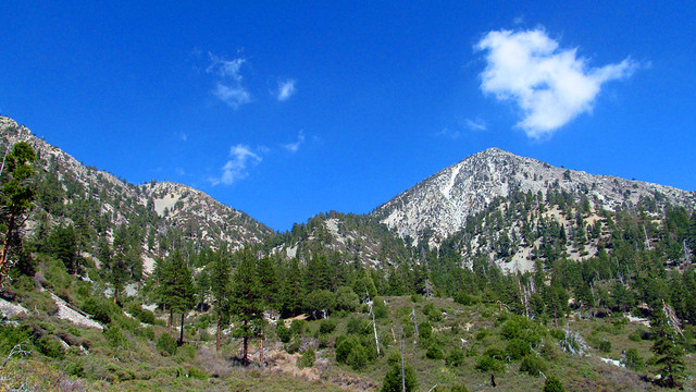
The canyon is a tributary of Icehouse Cyn that drops down from the saddle between Thunder Mountain and Telegraph Peak. Topo and satellite images didn't show any major obstructions, so we decided to give it a go.
To start, the mouth of the canyon is absolutely choked with impassable whitehtorn, so the obvious route isn't possible. You'll need to head to the eastern side of the campground and scramble up over the ridge to gain access. We used one of several available game trails.
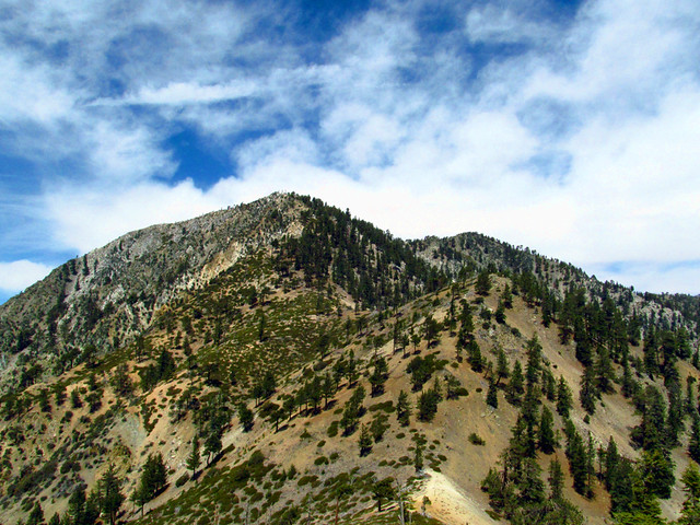
Once over the ridge, you want to stay high on the talus slopes to avoid the remainder of the whitethorn. Footing is tricky in spots, but overall it's fairly stable and the direction you need to go is extremely obvious.
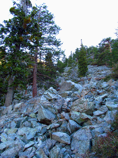
At just under 6800' the brush gives way and the best route is to leave the talus and cross to the other side of the canyon. Steep but fairly easy going here.
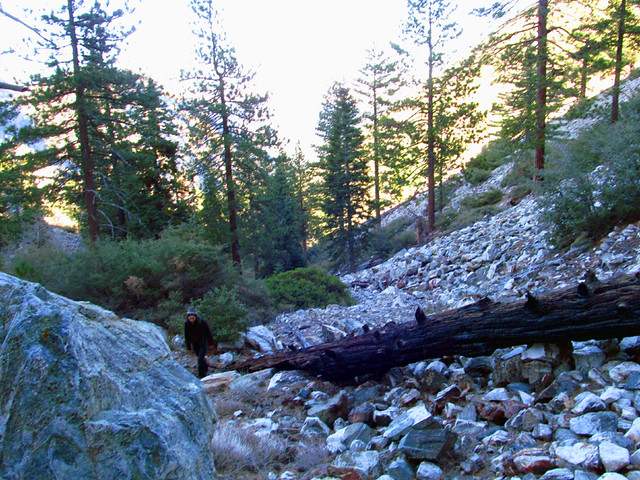
At about 7200' the canyon chokes you back in and you have to navigate through the remaining whitethorn; downed trees and boulders are your best friends here.
Soon, the manzanita starts to dominate. For the rest of the way, you generally want to stay left on the slopes of Thunder Mt, it's pretty thick center and right.
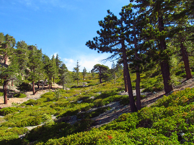
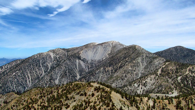
After 1.5 miles and about 2080' of gain, you've reached the saddle and there are plenty of options from here, as you've met the Three T's trail. We continued the additional 1.1 miles up to Telegraph, but Thunder Mt and Baldy Notch are other options. You can then either return the way you came (remember to stay high on the southside down low to avoid the whitethorn) or take Icehouse/Chapman back to camp.
Highly enjoyable, virtually untouched, and entirely non-technical. Don't go here if you're uncomfortable with routefinding, talus slopes, or scrub jays. And Leave No F***ing Trace, please.
More photos here:
http://www.flickr.com/photos/wattifoto/ ... 185418661/
Wanting to hike up to Telegraph while avoiding Icehouse Blvd, we decided to try an offtrail route that I couldn't find any info on, Cedar Canyon.

The canyon is a tributary of Icehouse Cyn that drops down from the saddle between Thunder Mountain and Telegraph Peak. Topo and satellite images didn't show any major obstructions, so we decided to give it a go.
To start, the mouth of the canyon is absolutely choked with impassable whitehtorn, so the obvious route isn't possible. You'll need to head to the eastern side of the campground and scramble up over the ridge to gain access. We used one of several available game trails.
Once over the ridge, you want to stay high on the talus slopes to avoid the remainder of the whitethorn. Footing is tricky in spots, but overall it's fairly stable and the direction you need to go is extremely obvious.

At just under 6800' the brush gives way and the best route is to leave the talus and cross to the other side of the canyon. Steep but fairly easy going here.

At about 7200' the canyon chokes you back in and you have to navigate through the remaining whitethorn; downed trees and boulders are your best friends here.
Soon, the manzanita starts to dominate. For the rest of the way, you generally want to stay left on the slopes of Thunder Mt, it's pretty thick center and right.

After 1.5 miles and about 2080' of gain, you've reached the saddle and there are plenty of options from here, as you've met the Three T's trail. We continued the additional 1.1 miles up to Telegraph, but Thunder Mt and Baldy Notch are other options. You can then either return the way you came (remember to stay high on the southside down low to avoid the whitethorn) or take Icehouse/Chapman back to camp.
Highly enjoyable, virtually untouched, and entirely non-technical. Don't go here if you're uncomfortable with routefinding, talus slopes, or scrub jays. And Leave No F***ing Trace, please.


More photos here:
http://www.flickr.com/photos/wattifoto/ ... 185418661/