Page 1 of 1
Hiking Suggestion
Posted: Thu Feb 14, 2013 7:38 am
by curt
Looking for some suggestions on a "training hike"
1. Minimum of 7 miles, Maximum of 13
2. Class 3 prefered or similar (plan was to do Strawberry peak-but its still closed)
Southern Ca area (I live in Cucamonga)
Nothing to high (I have crampons-never used-but my son doesnt)
Reason-OK-I want to "go to the next level on hiking-BUT have a HUGE fear of hights-SO am looking for some training hikes to test my level of acceptance/push my limits
Tjanks everyone!
Re: Hiking Suggestion
Posted: Thu Feb 14, 2013 9:42 am
by Sean
What is the scariest hike you've done? Class 3 is bordering on life-threatening exposures. I wouldn't characterize my first Class 3 as a training hike. It was the main event.
Re: Hiking Suggestion
Posted: Thu Feb 14, 2013 9:47 am
by curt
Cucamonga peak, Echo mountain, Switzers, Tom Sloan trail-lots of HIKING-very little climbing-sounds like class 2 for testing/training?
Thanks
Re: Hiking Suggestion
Posted: Thu Feb 14, 2013 10:25 am
by AW~
I think you are talking scrambles like Falling Rock canyon in Icehouse or Goode canyon in Baldy. Easier than that, but not class 1, would be Smith Mtn at hwy39.
Re: Hiking Suggestion
Posted: Thu Feb 14, 2013 10:45 am
by curt
Exactly! Thanks-I'm thinking Smith Mountan, Big Horn peak via falling rock canyon then Goode canyon to test myself!
Re: Hiking Suggestion
Posted: Thu Feb 14, 2013 11:12 am
by Sean
Unfortunately some of the better class 2 hikes are still covered in snow and ice, like the ones around the upper Baldy area. You might try Sunset Peak, going up the firebreak/ridge and down the road. I think there's a bit of easy class 2 on the ridge, but it's a step up from what you're used to.
http://angeles.sierraclub.org/hps/guides/15f.htm (combine routes)
Smith Mtn is a good suggestion with the last half mile being easy class 2 over moderately rocky terrain with mild exposure.
http://angeles.sierraclub.org/hps/guides/15b.htm (route 1)
There's also Mt. Markham, which can be combined with Mt. Lowe or San Gabriel Peak for added mileage. The narrowish 0.4-mile long ridge and minor rock scrambling can be fun. Starting at Eaton Saddle requires a drive up the Angeles Crest Hwy and Mt. Wilson Rd. But if you want to start above Altadena at the Chaney Trail gate and head up the Mt. Lowe fire road and then Mt. Lowe West trail, the trip could be accomplished in around 15 miles.
http://angeles.sierraclub.org/hps/guides/12d.htm
Re: Hiking Suggestion
Posted: Thu Feb 14, 2013 11:18 am
by curt
Thanks-will plan on several of these-have done a decent amount of "scrambling up in the Sierras deer hunting but not peak specific (mostly off of & around McGee creek-these are areas that I can do more frequently-what would you suggest as a solid class 3?
Re: Hiking Suggestion
Posted: Fri Feb 15, 2013 1:49 pm
by Sean
curt wrote: what would you suggest as a solid class 3?
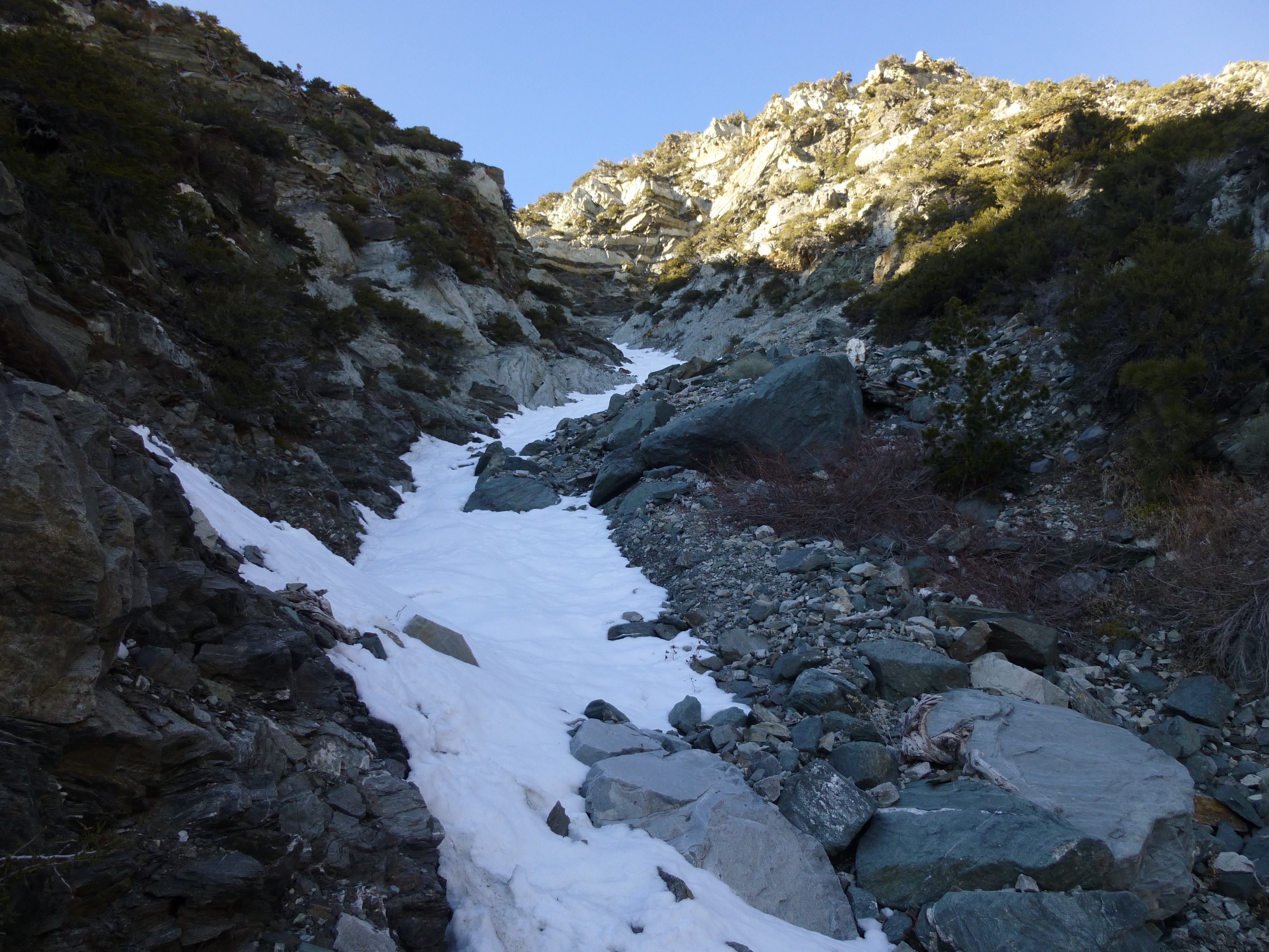
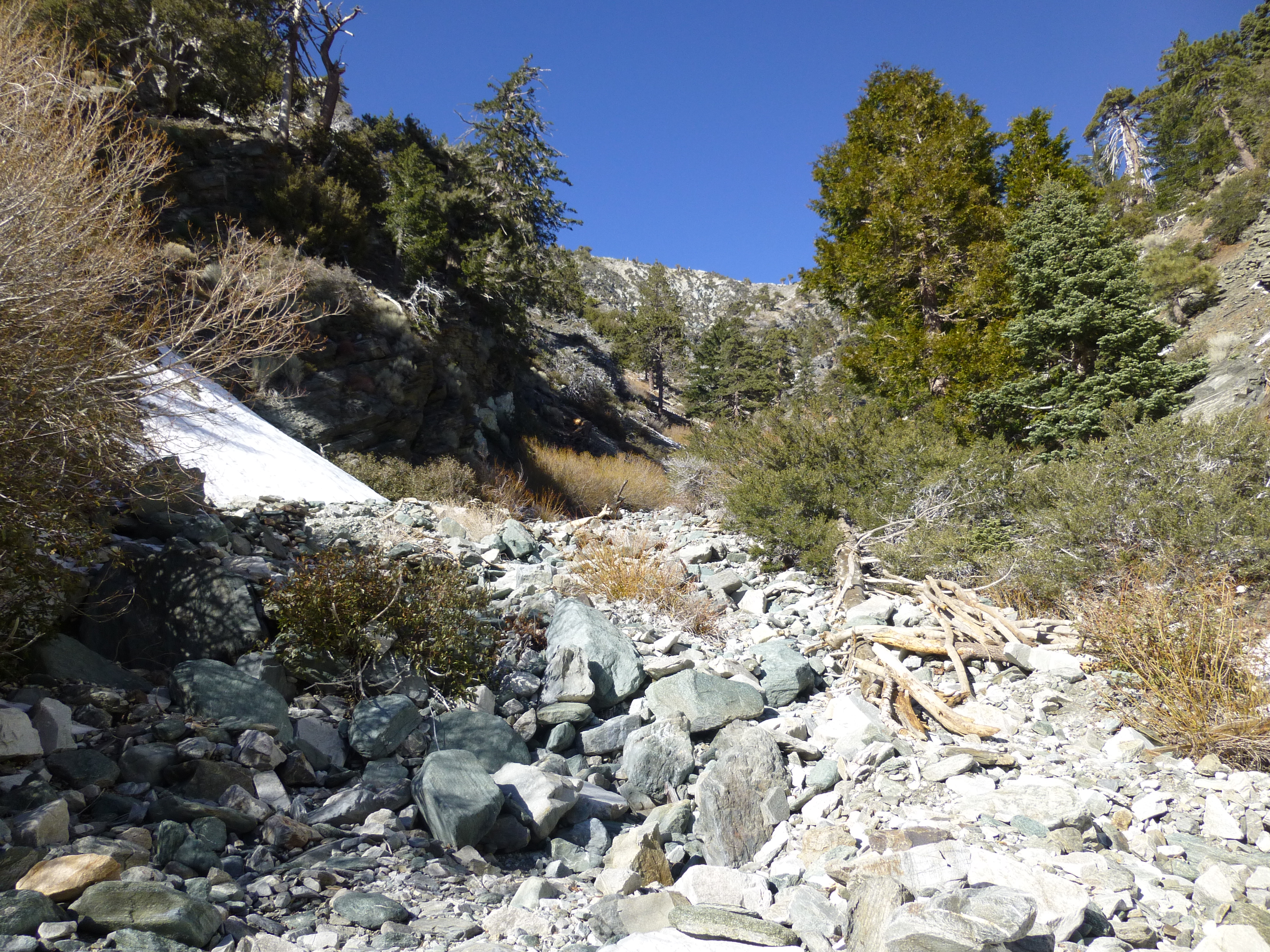
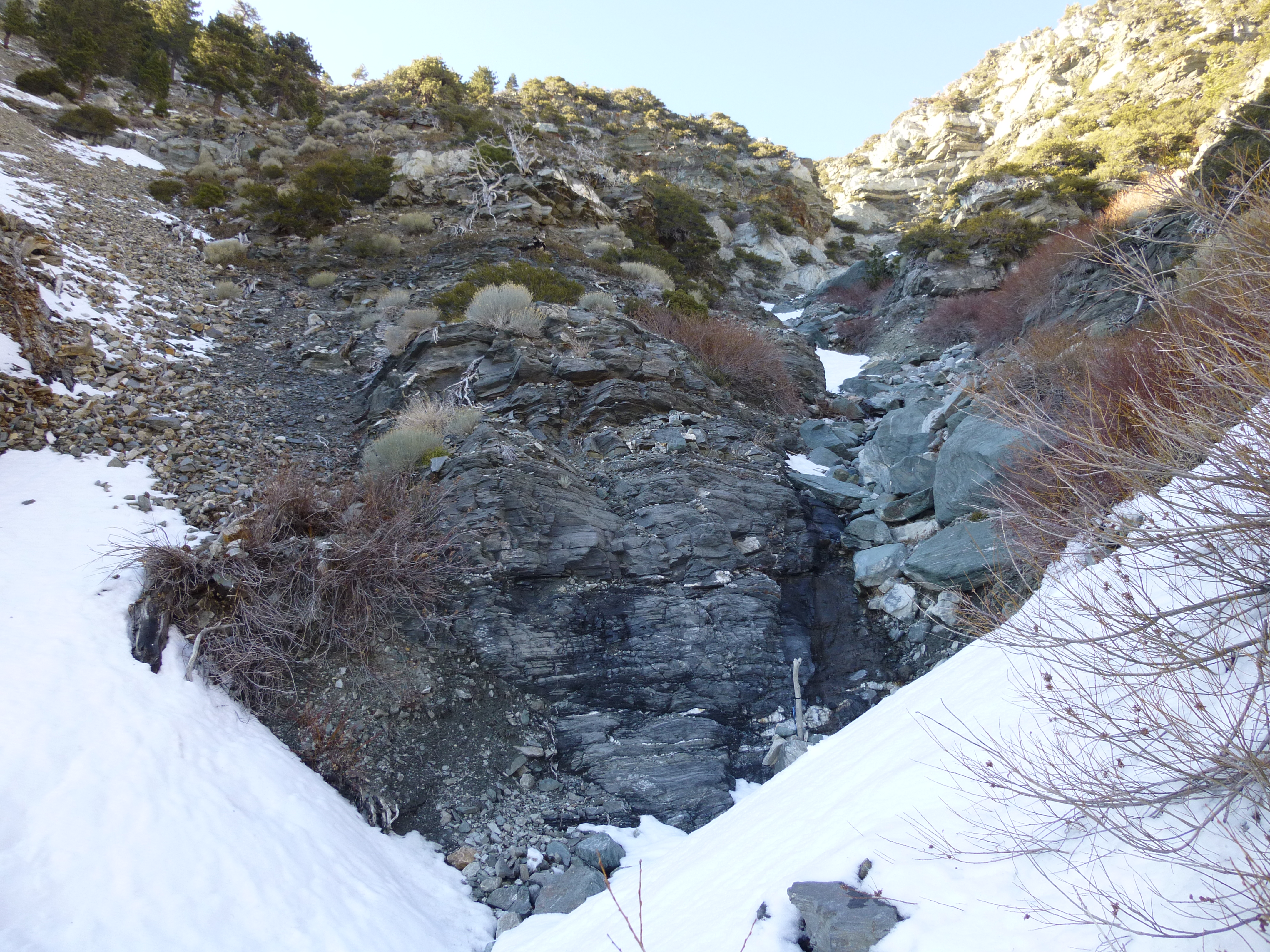
You could test yourself on Manker Canyon. I went up halfway the other day before having to turn back due to time constraints, so I don't know if it ever gets worse than class 3 higher up. Before the halfway point there was a little snow to dodge by scrambling along the steep hillsides, and there were a couple mini-waterfalls to negotiate. Mostly it's difficult class 2 scrambling over unstable boulder fields. You might break an ankle/leg, or worse if you fall ten or fifteen feet off the slope onto rocks.
Manker is easy to find. Park at the very back of the Baldy Ski Lift parking lot. Find the shortcut fire road leading steeply up to the main fire road. At the T-intersection, simply continue walking straight into the boulder-strewn canyon. Once in the canyon, if you come to a split, go left to stay in Manker.
Entering Manker Canyon
Mini-waterfall
Climbing around the mini-waterfall
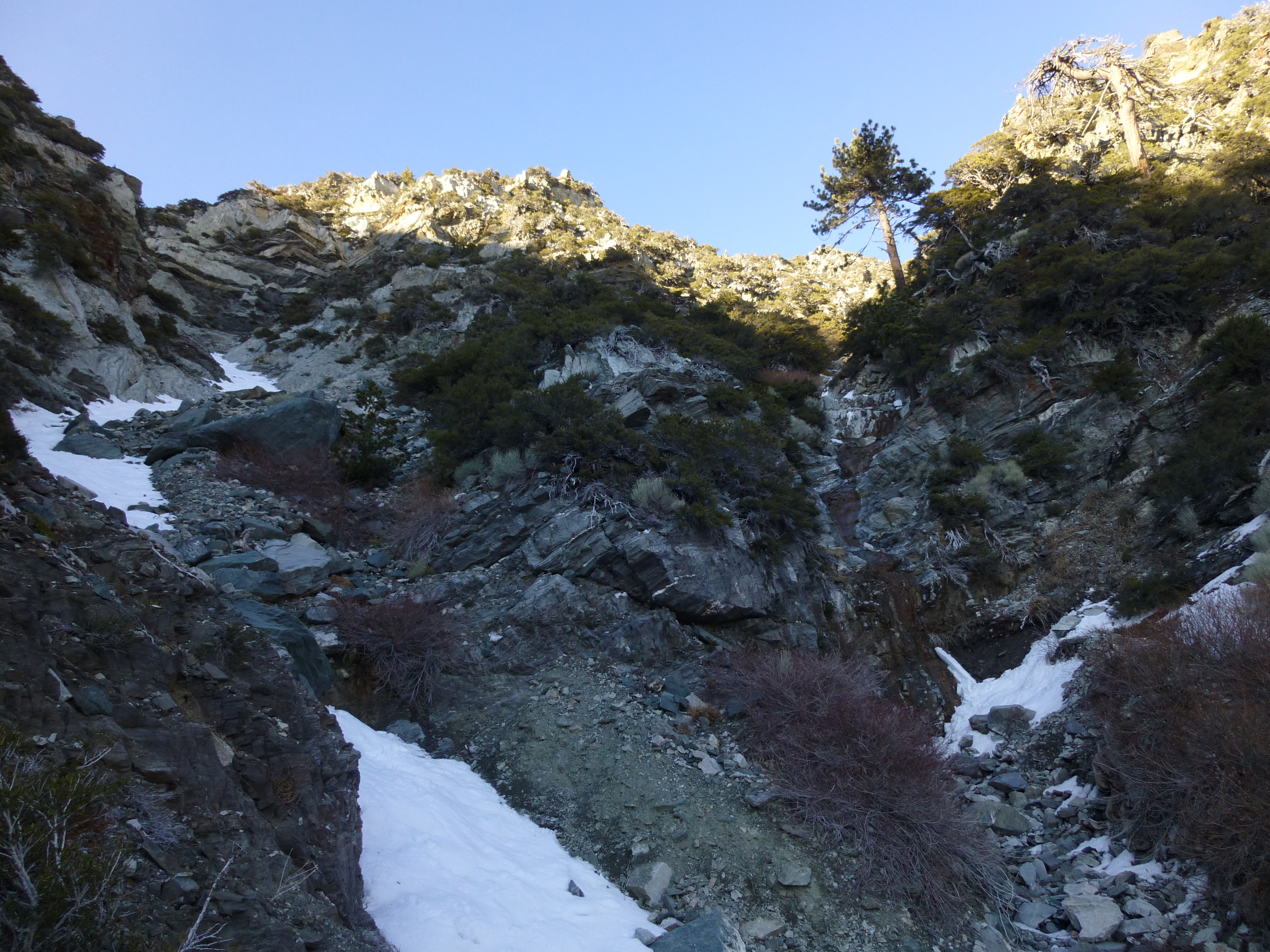
Above the mini-waterfall