East Fork San Gabriel river 9/24
Posted: Tue Sep 25, 2012 10:42 am
Started too early since I didnt bring any light...and got to the bridge as the shade was disappearing and temps were ramping up in a hurry. Up to Airplane Flats where the sun met me. There was a cool breeze though.
I got to peak 4775 3 hours from the river. I was aiming to see the old way they traveled this ridge to pass peak 6327, but again I was short on supplies. If only it weren't so steep around here and so hot. The vegetation has picked up a bit since 2 years ago although the fire here still was apparent.
Coming back, I had a plan of heading east along a secondary ridge to peak 4327 and down to the confluence of Iron Fork and the San Gabriel river. Going down to the saddle between the 2 peaks was a very narrow ridge with bushwack. I have no idea how the old timers did it back in the day, but to be on a mule and have that exposure on both sides is something else.
Perhaps the heat got to me and the steepness back down looked too steep, but I started following some clearance down towards Iron Fork. That started two and half hours of bushwack nightmare. Geez, last time I did this from a higher elevation it was only one hour One of the hours I only lost 200ft in elevation and perhaps avoided being stuck.
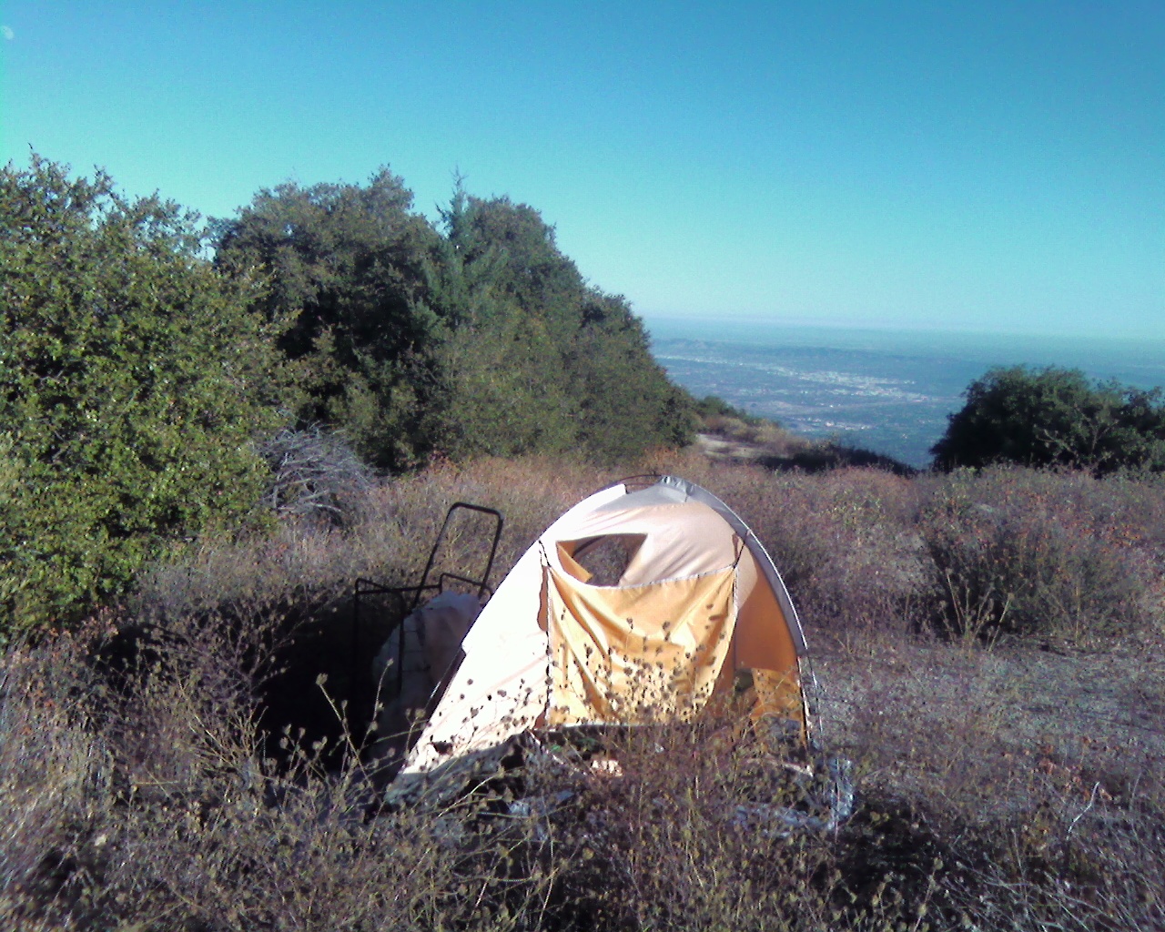
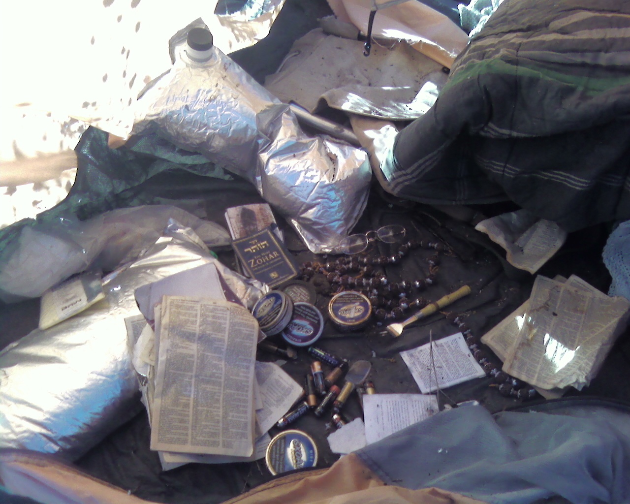
It was now past noon in the Iron Fork. I was set to cruise, but that bushwack has sapped a lot of strength. There was more trash here from the same camper and that pretty much ruined it. Looks like I missed him as usual by about a month or two. It wouldnt be a pretty confrontation anyway. Past Ross Moss Falls still flowing.
Back at Iron Fork camp, things went from bad to worse as it goes downstream. Fairly crowded, and trashed up(abadonment) the wazoo. They got their camping experience(thats all that counts) and its apparently too far to carry anything back. As the sun was going down, it was time to start the fires. Couldnt get out of that rathole of a river fast enough. Sped past colorized 8) and I have a knife bridge at Laurel Gulch. Past Heaton Flats in the dark again thankfully.
Someone lost? No water around here.

Rattlesnake Peak,left, and the ridge to South Hawkins smoked

Copter Ridge through Ross Mountain

peak 6327

Ross

Pine Mountain ridge and Fish Fork

As seen from near peak 4329, Iron Mountain lower elevation and Airplane Flats

Semi freedom as the gully starts...Copter ridge and Ross

Looking back

I think this is part of an old trail here. It ends just upstream of the dayhike turn around point on the creek, well, it would if it wasnt landslided in at the end.

Iron

Bridge repair

I got to peak 4775 3 hours from the river. I was aiming to see the old way they traveled this ridge to pass peak 6327, but again I was short on supplies. If only it weren't so steep around here and so hot. The vegetation has picked up a bit since 2 years ago although the fire here still was apparent.
Coming back, I had a plan of heading east along a secondary ridge to peak 4327 and down to the confluence of Iron Fork and the San Gabriel river. Going down to the saddle between the 2 peaks was a very narrow ridge with bushwack. I have no idea how the old timers did it back in the day, but to be on a mule and have that exposure on both sides is something else.
Perhaps the heat got to me and the steepness back down looked too steep, but I started following some clearance down towards Iron Fork. That started two and half hours of bushwack nightmare. Geez, last time I did this from a higher elevation it was only one hour
It was now past noon in the Iron Fork. I was set to cruise, but that bushwack has sapped a lot of strength. There was more trash here from the same camper and that pretty much ruined it. Looks like I missed him as usual by about a month or two. It wouldnt be a pretty confrontation anyway. Past Ross Moss Falls still flowing.
Back at Iron Fork camp, things went from bad to worse as it goes downstream. Fairly crowded, and trashed up(abadonment) the wazoo. They got their camping experience(thats all that counts) and its apparently too far to carry anything back. As the sun was going down, it was time to start the fires. Couldnt get out of that rathole of a river fast enough. Sped past colorized 8) and I have a knife bridge at Laurel Gulch. Past Heaton Flats in the dark again thankfully.
Someone lost? No water around here.

Rattlesnake Peak,left, and the ridge to South Hawkins smoked

Copter Ridge through Ross Mountain

peak 6327

Ross

Pine Mountain ridge and Fish Fork

As seen from near peak 4329, Iron Mountain lower elevation and Airplane Flats

Semi freedom as the gully starts...Copter ridge and Ross

Looking back

I think this is part of an old trail here. It ends just upstream of the dayhike turn around point on the creek, well, it would if it wasnt landslided in at the end.

Iron

Bridge repair


