Pleasant View and Winston Ridges
Posted: Mon Jul 30, 2012 10:21 am
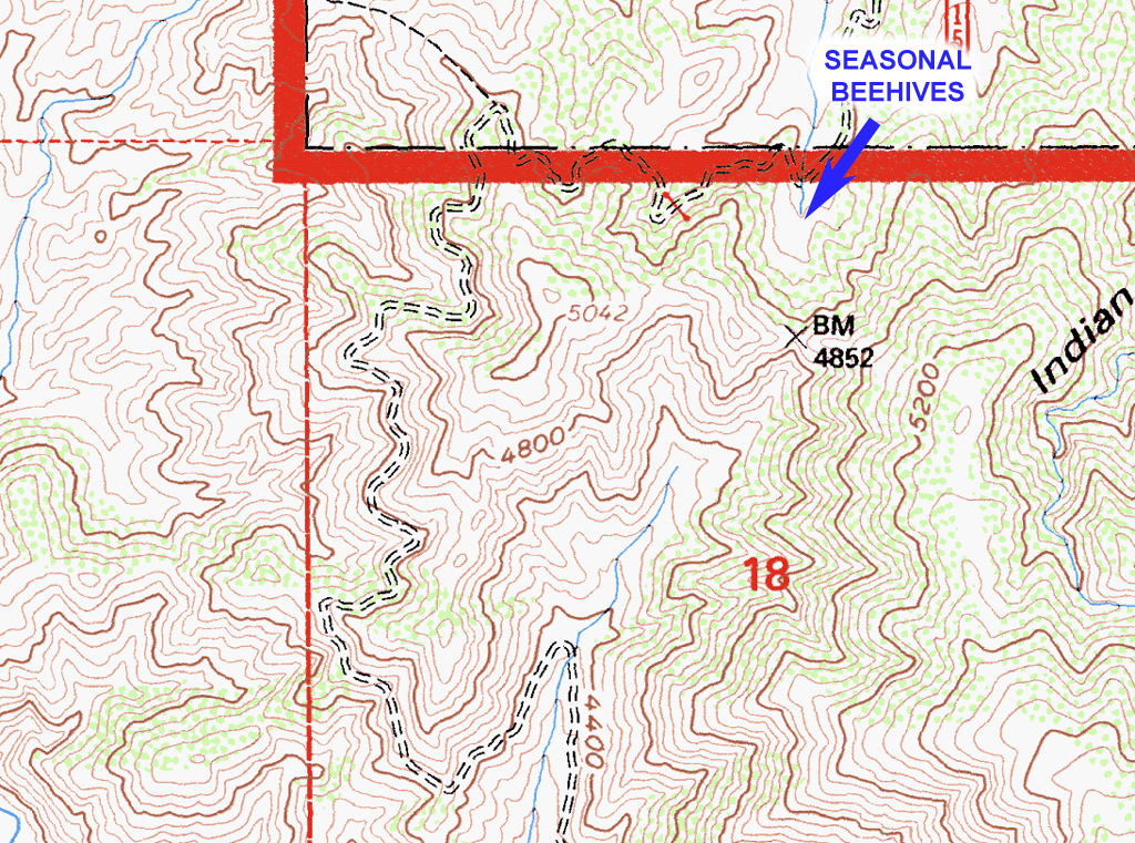
Saturday morning I parked the Jeep near the beehive site above Cima Mesa in Juniper Hills. My original plan was to hike Pleasant View Ridge to Mt. Willamson, then return via the same route. The western third of PVR was pleasant as always, though someone seemed to think that the easy-to-follow route was in dire need of way too many cairns. The ridge lived up to its name, providing great vistas in all directions. As the temperatures began to climb, I realized that the four liters of water I was carrying wouldn't suffice. A sensible person would've turned back at Will Thrall Peak and called it a day. Since it is me writing, you can probably see where this is going.
The Western section of Will Thrall gets more overgrown every year. I've spent some time pruning here, but I just can't keep up with the Ceanothus and Juniper. The only passable route seems to be across the steep north slope scree, where a slip or misstep could have very unfortunate consequences. The joy experienced crossing this area influenced my choice of return route. I continued on to Burkhart saddle, and took a break, feasting on beef jerky, Clif Bars, dried fruit, pretzels and licorice (all the food groups!).
I assumed my best chances for water would be at Rattlesnake Creek, Cooper Canyon Camp, or Little Rock Creek. I also considered Buckhorn, but it would've put me off my return route. It was very hot on the Burkhart Trail (10W02), almost unpleasantly so. Water flow at Rattlesnake Creek was really low, and the standing pools didn't look so good. I continued on to Cooper Canyon, seeing my first humans since starting at 0640. Flow at Cooper was nothing to write home about, but I found a relatively clear pool, and grabbed another 3.5 liters, which I zapped with the UV sterilizer. This turned out to be a good choice, as Little Rock Creek was almost stagnant.
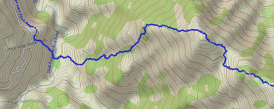
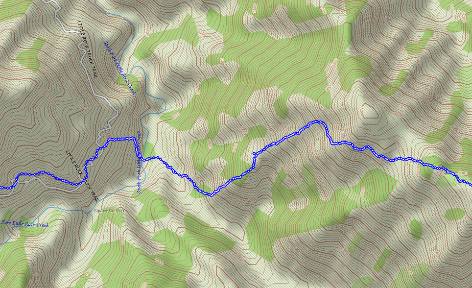
I next headed up the PCT for Winston Ridge, passing a couple of groups of Boy Scouts purportedly also headed for Winston. Since I was headed for Little Rock Creek I realized that there was no way I would be back at the car by 1700, so I got my wife on the ham radio and warned her that I would be several hours late. The Turricula on the burned end of Winston Ridge wasn't as bad as last year, but I still managed to get bitten by the Poodle Dog. I made some poor routefinding choices descending the ridge to Little Rock Creek. My goal was to reach the creek close enough to the only visibly passable ridge up to 5N04.3. I ended up downclimbing a few narrow rocky gullies instead of holding the ridge top. Once across Little Rock Creek, I couldn't avoid pushing through Turricula to get up to the road.
The slog to Little Sycamore C.G. was uneventful, save for starting to lose daylight. At the junction of 4N15, I grabbed a quick snack while waiting for the SPOT to send a check-in message home. There is an unnamed gully that crosses a sharp turn in 4N15 that runs up to the saddle at benchmark 4852. Rather than walk a few more miles of road, I opted to don my headlamp and climb the gully. The use trail disappears around the point where the terrain steepens severely. I once again found myself high up on steep scree, though now in the dark. Before letting panic prevail, I realized that I really need to to be at the bottom of this delightful terrain and slowly skied down. The steep scramble up to the saddle seemed to take forever, though I knew I was almost back at the car, only four hours late. The zombie-drive back to Simi was scary, but my Wife (g-d bless her) had picked up salad, barbecued tri-tip, and veggies a little earlier and had them on the table upon my filthy, exhausted return.
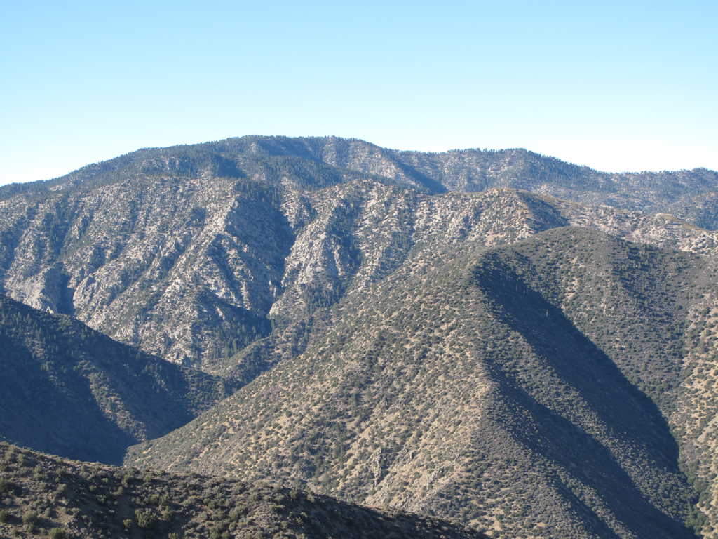
Bare Mountain and Mt. Pacifico.
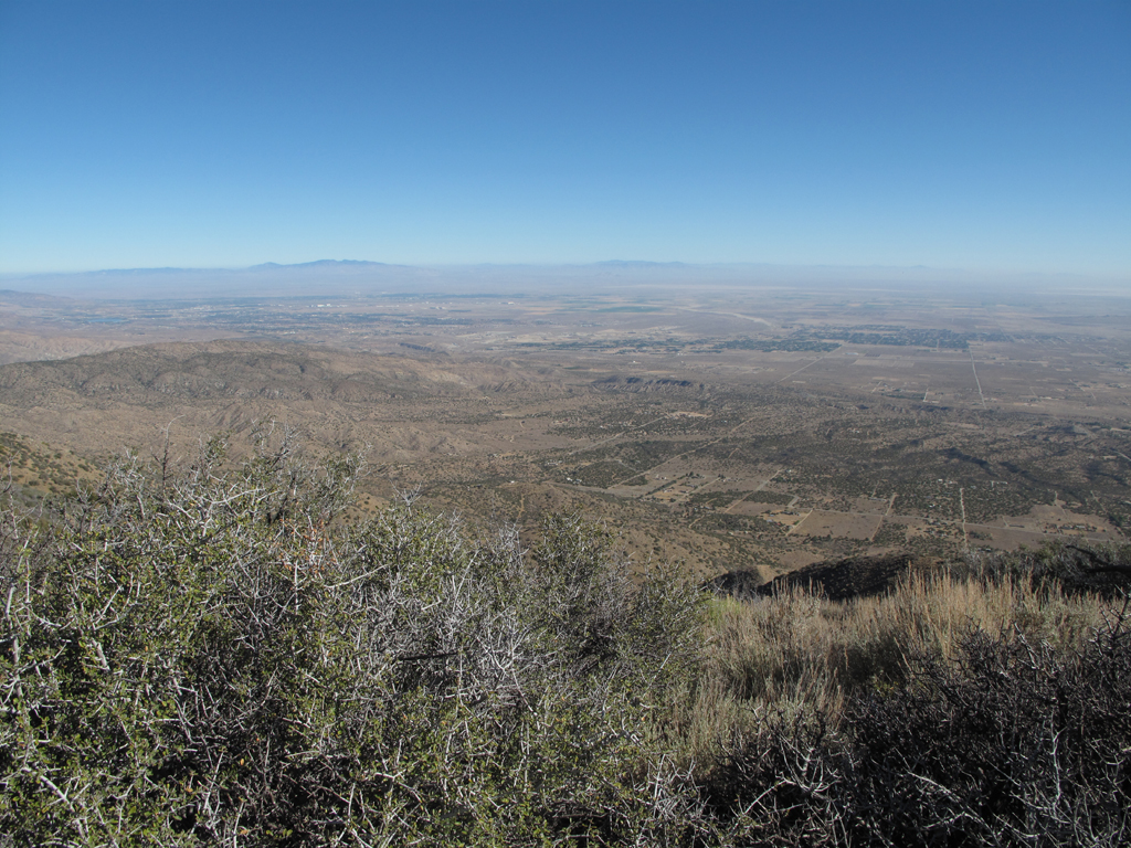
Pleasant view towards Palmdale.
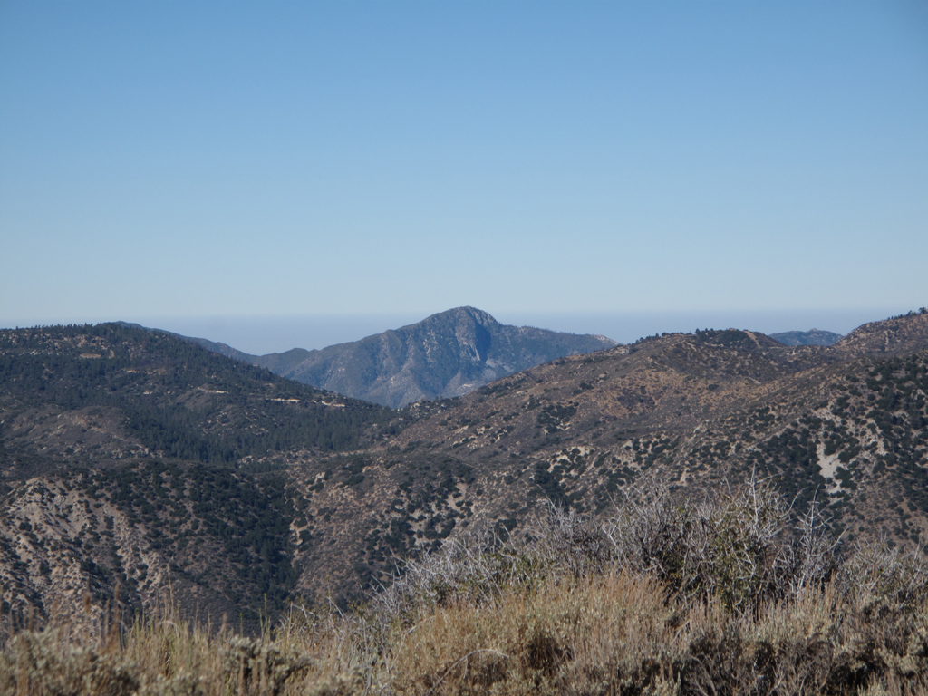
Strawberry Peak.
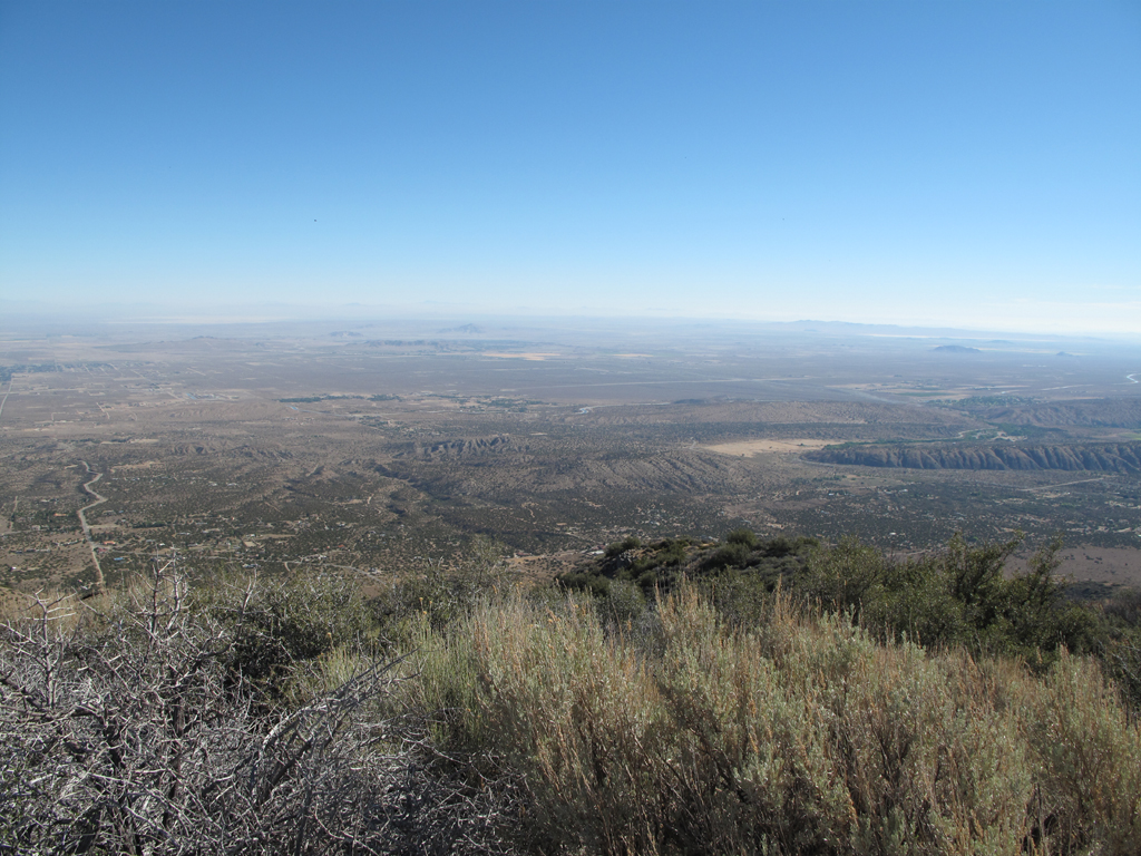
View towards the rift zone and the Mojave.
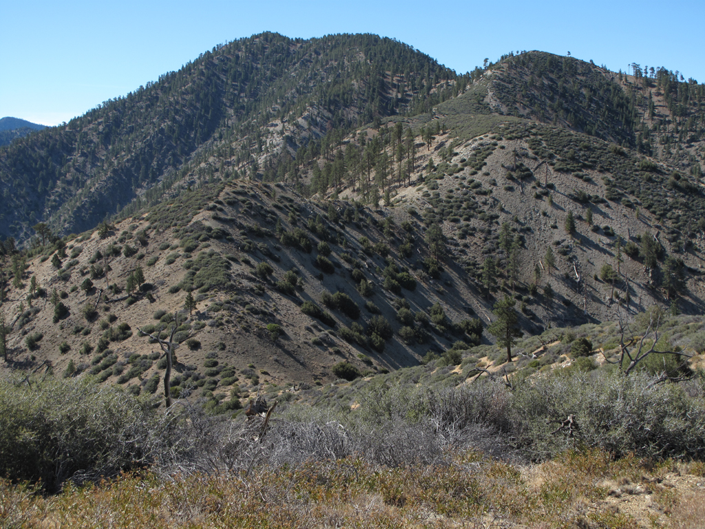
Scattered brush up Will Thrall belies its impenetrability.
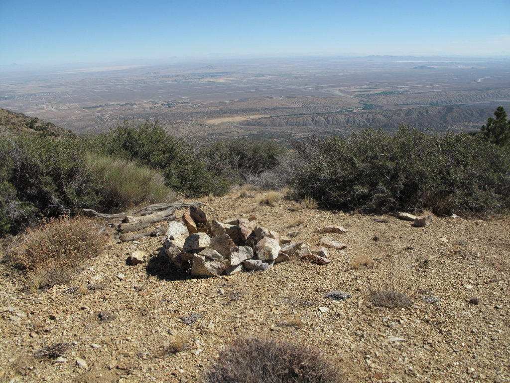
Random spot on PVR, looking NNE.
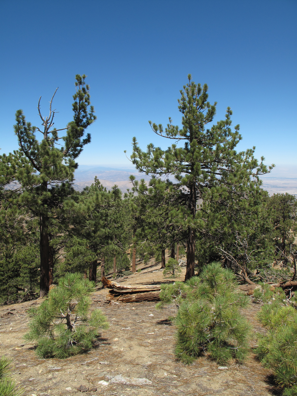
Nicely forested spot on Will Thrall Peak.
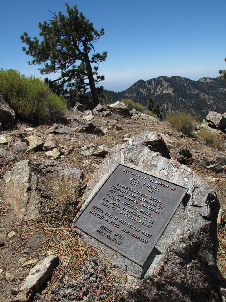
Dedication to Mr. Thrall.
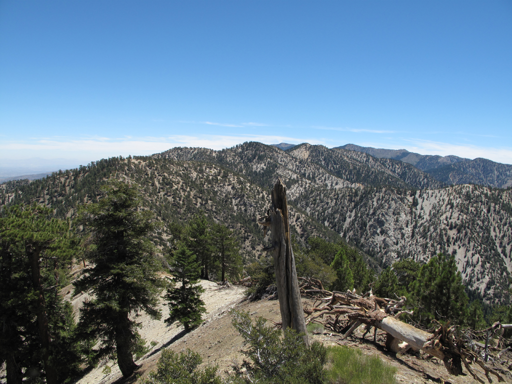
Looking out over Pallett towards Williamson.
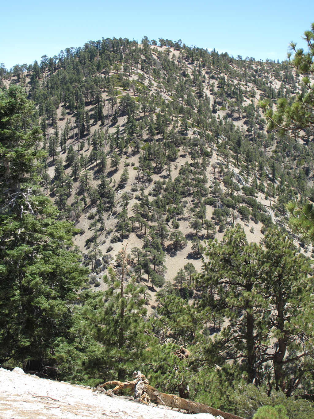
Steep climb up Pallett from Burkhart Saddle.
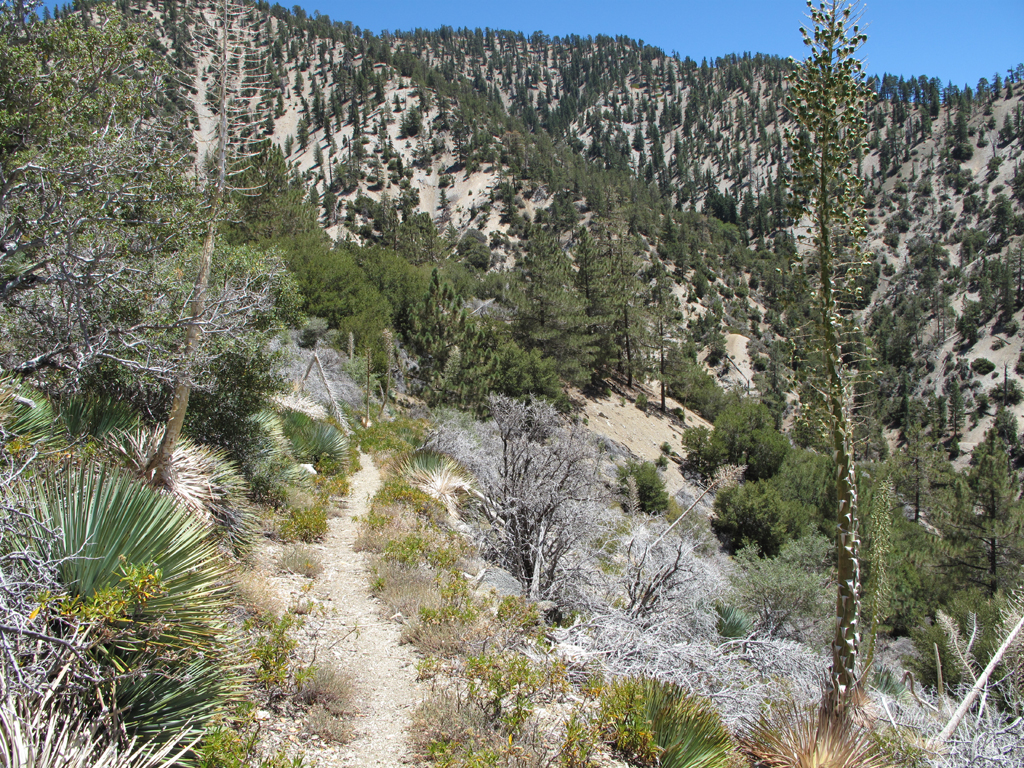
Random spot along Burkhart (High Desert) trail heading towards Buckhorn.
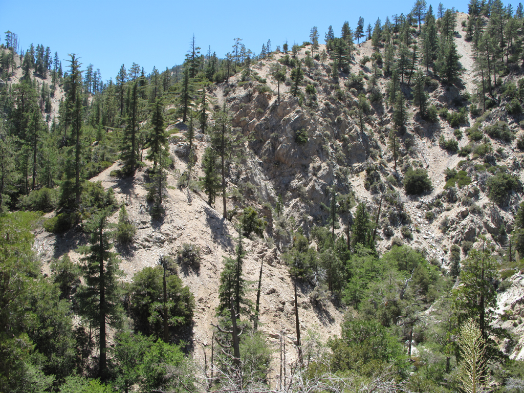
Eastern end of Winston Ridge, near Rattlesnake Creek.
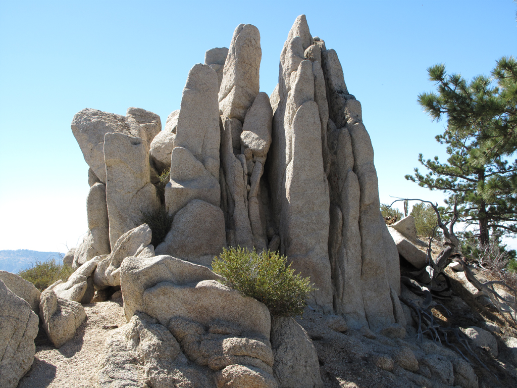
Pretty formation atop Winston Ridge.
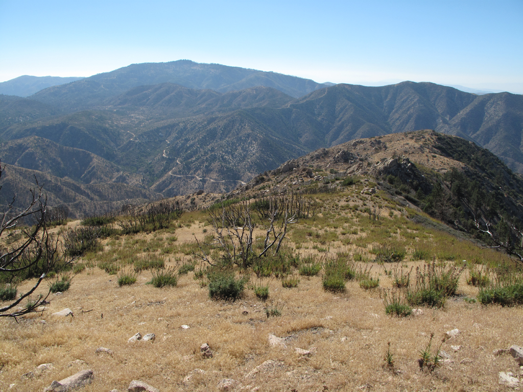
Burned end of Winston Ridge, scattered Turricula, Little Rock Creek road towards Pinyon Flats.
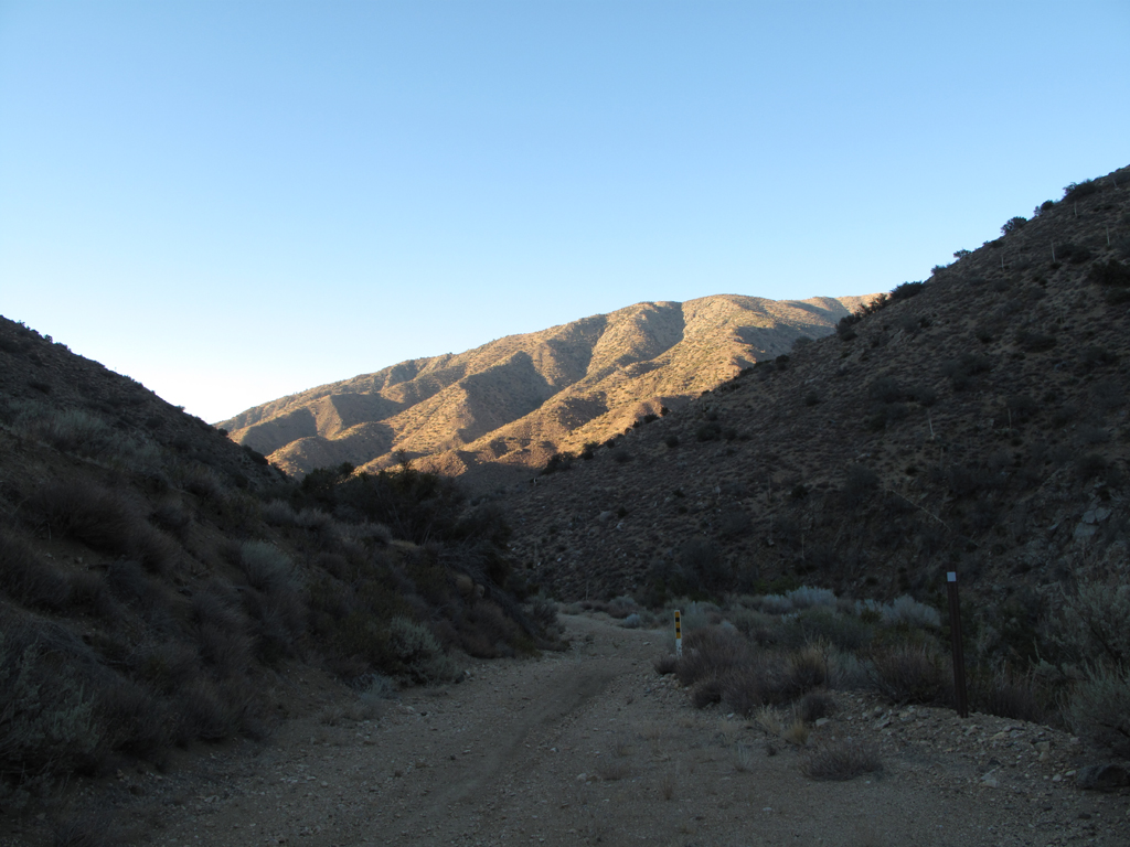
5N04.3 near the edge of the Little Rock Creek Recreational Area. PVR in the Background.
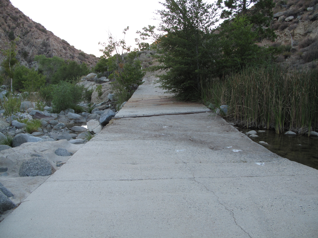
Little Rock Creek usually flows vigorously over this bridge.
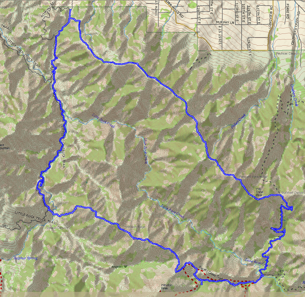
Topo with track.
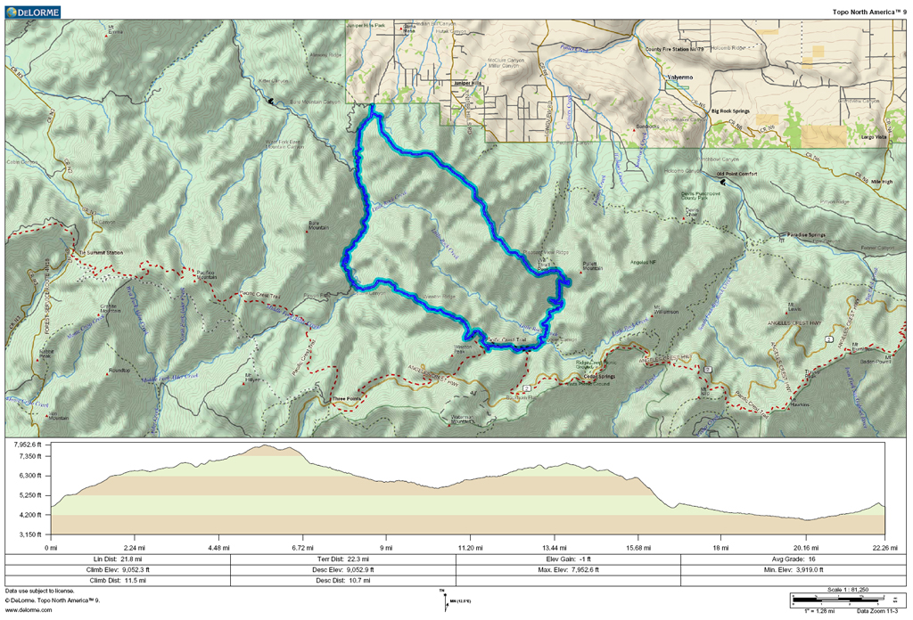
GPS track and elevation plot.
The Western section of Will Thrall gets more overgrown every year. I've spent some time pruning here, but I just can't keep up with the Ceanothus and Juniper. The only passable route seems to be across the steep north slope scree, where a slip or misstep could have very unfortunate consequences. The joy experienced crossing this area influenced my choice of return route. I continued on to Burkhart saddle, and took a break, feasting on beef jerky, Clif Bars, dried fruit, pretzels and licorice (all the food groups!).
I assumed my best chances for water would be at Rattlesnake Creek, Cooper Canyon Camp, or Little Rock Creek. I also considered Buckhorn, but it would've put me off my return route. It was very hot on the Burkhart Trail (10W02), almost unpleasantly so. Water flow at Rattlesnake Creek was really low, and the standing pools didn't look so good. I continued on to Cooper Canyon, seeing my first humans since starting at 0640. Flow at Cooper was nothing to write home about, but I found a relatively clear pool, and grabbed another 3.5 liters, which I zapped with the UV sterilizer. This turned out to be a good choice, as Little Rock Creek was almost stagnant.
I next headed up the PCT for Winston Ridge, passing a couple of groups of Boy Scouts purportedly also headed for Winston. Since I was headed for Little Rock Creek I realized that there was no way I would be back at the car by 1700, so I got my wife on the ham radio and warned her that I would be several hours late. The Turricula on the burned end of Winston Ridge wasn't as bad as last year, but I still managed to get bitten by the Poodle Dog. I made some poor routefinding choices descending the ridge to Little Rock Creek. My goal was to reach the creek close enough to the only visibly passable ridge up to 5N04.3. I ended up downclimbing a few narrow rocky gullies instead of holding the ridge top. Once across Little Rock Creek, I couldn't avoid pushing through Turricula to get up to the road.
The slog to Little Sycamore C.G. was uneventful, save for starting to lose daylight. At the junction of 4N15, I grabbed a quick snack while waiting for the SPOT to send a check-in message home. There is an unnamed gully that crosses a sharp turn in 4N15 that runs up to the saddle at benchmark 4852. Rather than walk a few more miles of road, I opted to don my headlamp and climb the gully. The use trail disappears around the point where the terrain steepens severely. I once again found myself high up on steep scree, though now in the dark. Before letting panic prevail, I realized that I really need to to be at the bottom of this delightful terrain and slowly skied down. The steep scramble up to the saddle seemed to take forever, though I knew I was almost back at the car, only four hours late. The zombie-drive back to Simi was scary, but my Wife (g-d bless her) had picked up salad, barbecued tri-tip, and veggies a little earlier and had them on the table upon my filthy, exhausted return.
Bare Mountain and Mt. Pacifico.
Pleasant view towards Palmdale.
Strawberry Peak.
View towards the rift zone and the Mojave.
Scattered brush up Will Thrall belies its impenetrability.
Random spot on PVR, looking NNE.
Nicely forested spot on Will Thrall Peak.
Dedication to Mr. Thrall.
Looking out over Pallett towards Williamson.
Steep climb up Pallett from Burkhart Saddle.
Random spot along Burkhart (High Desert) trail heading towards Buckhorn.
Eastern end of Winston Ridge, near Rattlesnake Creek.
Pretty formation atop Winston Ridge.
Burned end of Winston Ridge, scattered Turricula, Little Rock Creek road towards Pinyon Flats.
5N04.3 near the edge of the Little Rock Creek Recreational Area. PVR in the Background.
Little Rock Creek usually flows vigorously over this bridge.
Topo with track.
GPS track and elevation plot.
