20120320 Beggar's Canyon and Poison Canyon
Posted: Wed Mar 21, 2012 11:37 am
Two first descents in a day, right next to each other.
Acme URL yo: http://mapper.acme.com/?ll=34.24711,-11 ... River%20CA
A: Top of ridge, near drop in
B: Poison Cyn
C: Beggar's Cyn
D: Parking
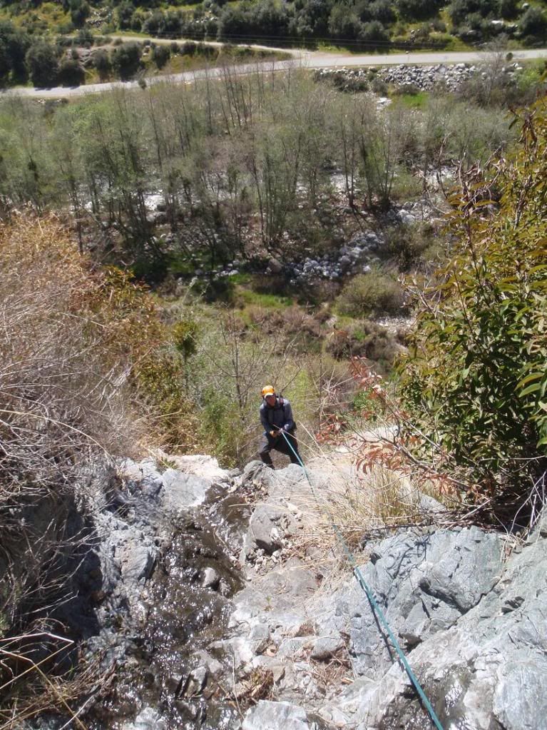
Beggar's Cyn was cool. Not much bushwhacking overall. You can run it now, since we cleared it out. There's a sub 200ft rapp at the end down a big waterfall as visible from West Fork Road. We started just before dawn and got back to the car before noon. This canyon is very worth repeating. It's short and fun. There could be an anchor challenge at the first decent size rapp, which is an L shaped jog on the map. First stage is like a belayed downclimb (low angle rapp), and the second is 60ft or so down a nice waterfall. The anchor is a group of young Scrub Oak about 1" in diameter and under. It's solid, but I can see most folks thinking it would fail.
Poison Cyn has endless poison oak, just tons of the shit. Lots of bushwhacking in there, though it's relatively easy. The rapps are OK, and the three final rapps are nice. It is not worth doing again.
Photo zeit!
Beggar's Canyon:
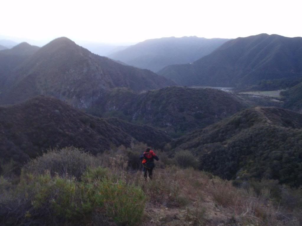
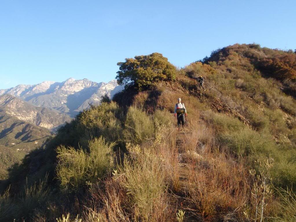
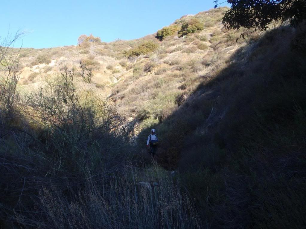
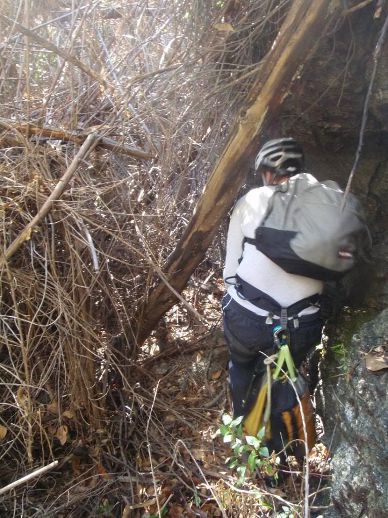
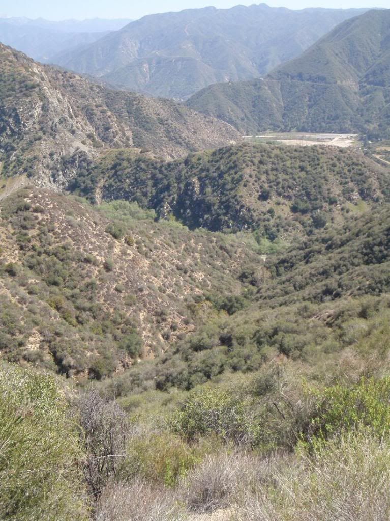
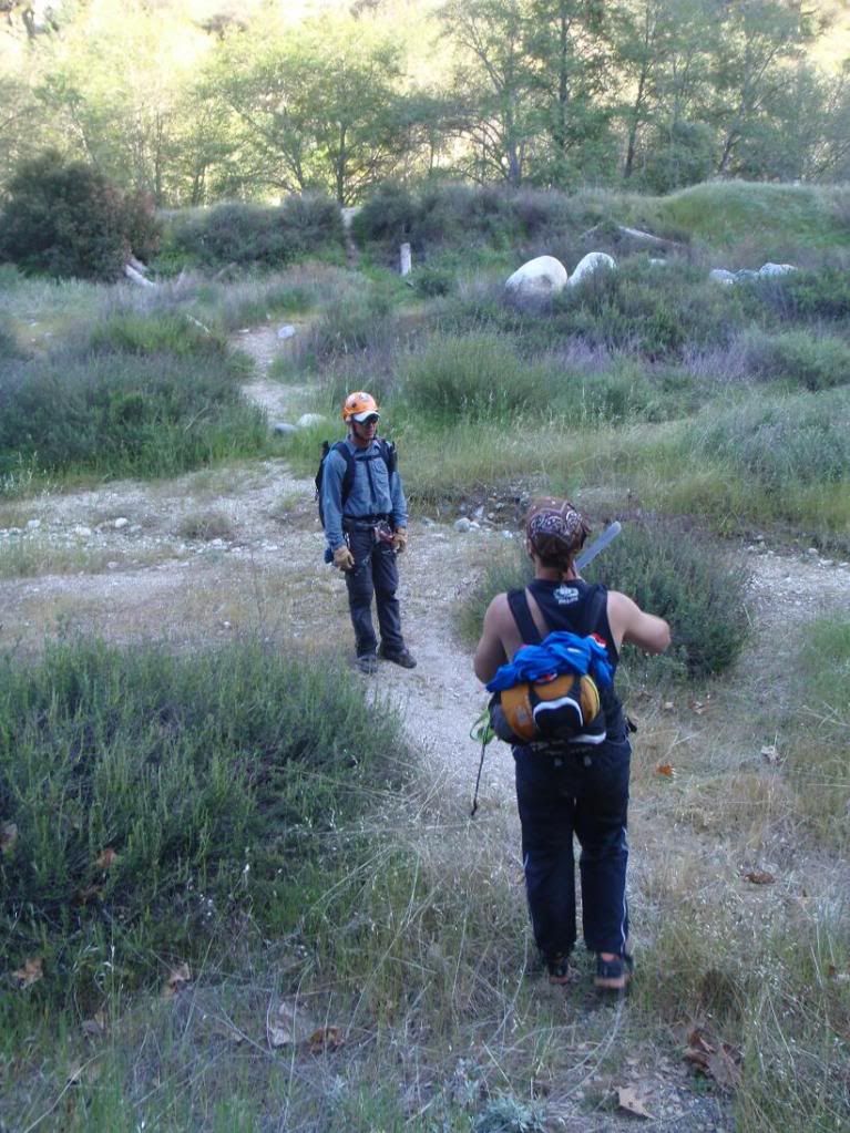
Going up
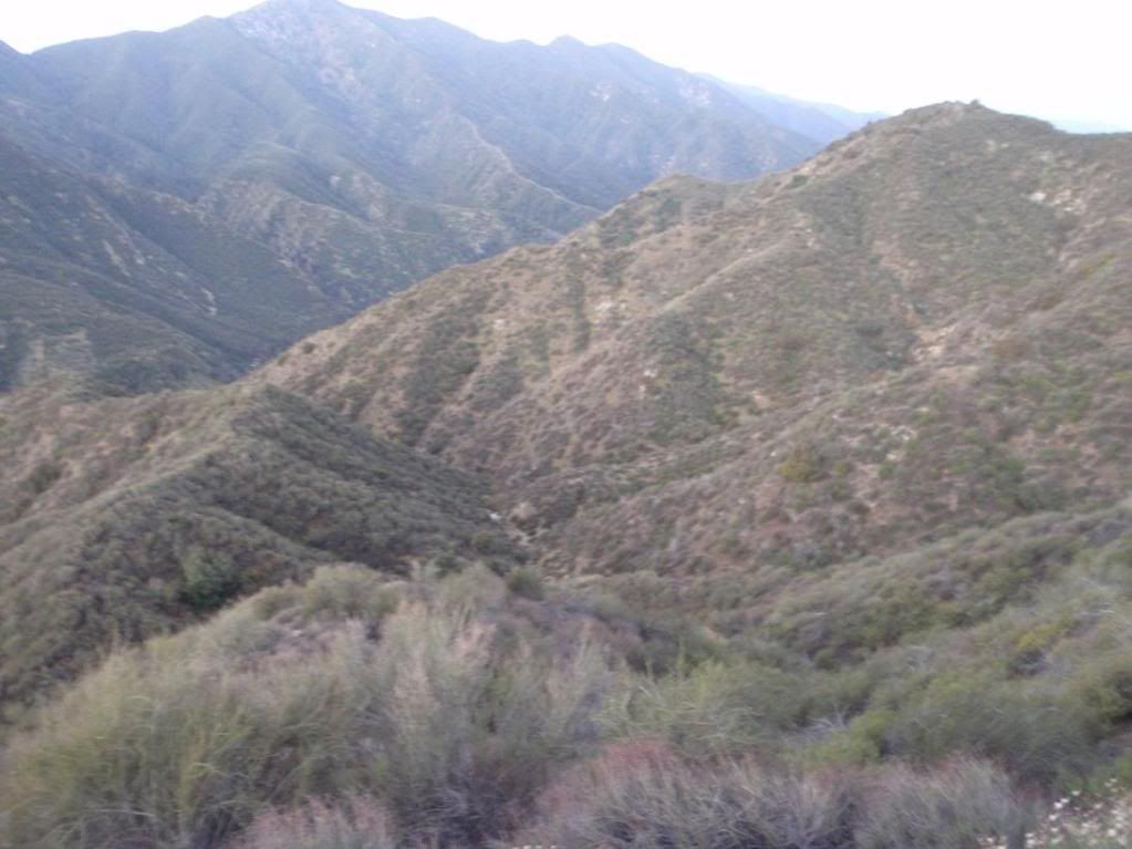
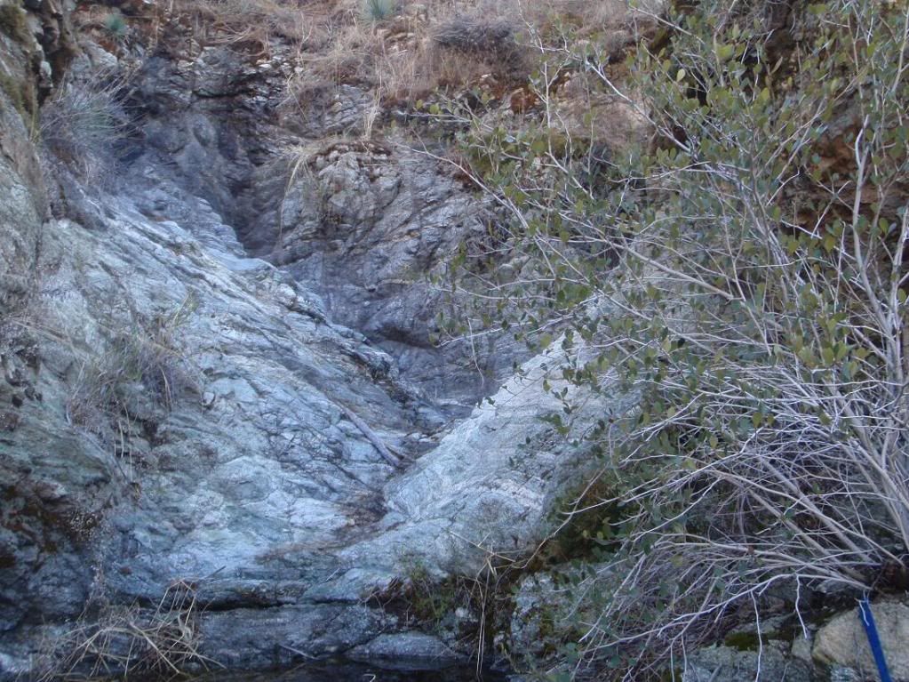
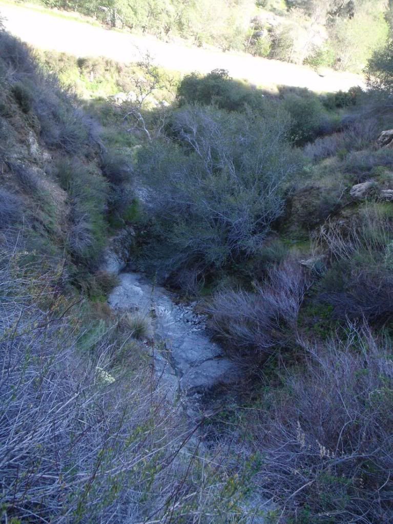
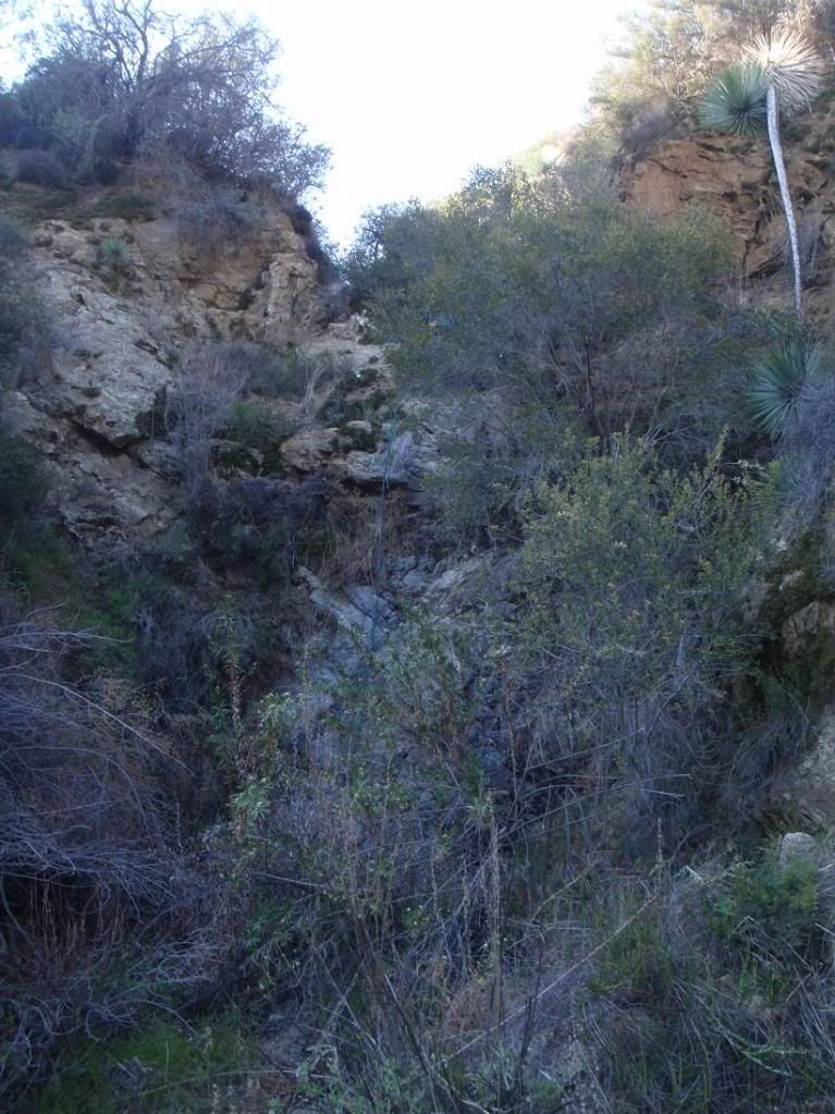
Ze canyon
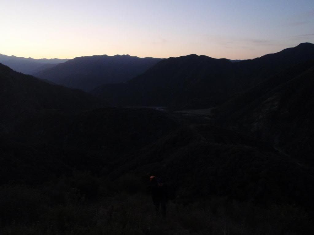
Sun up
R1
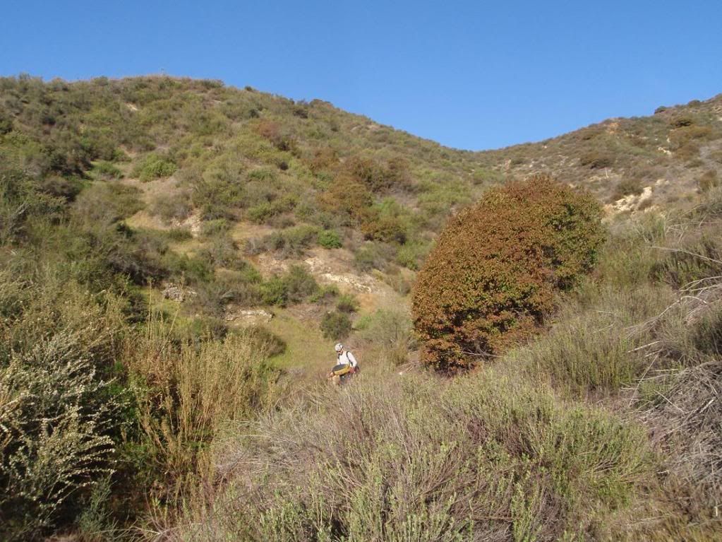
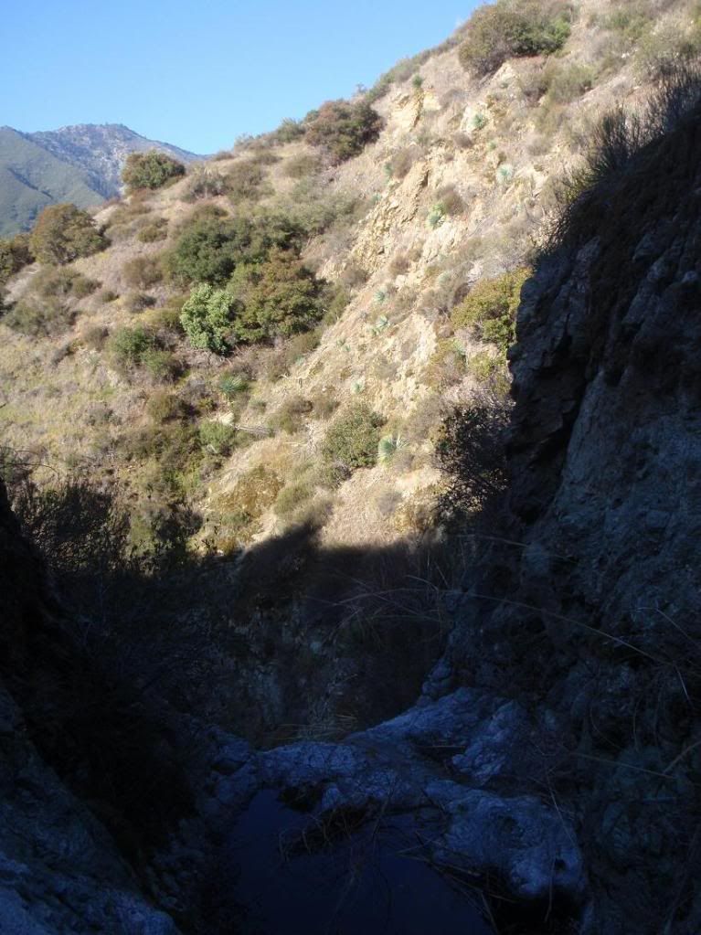
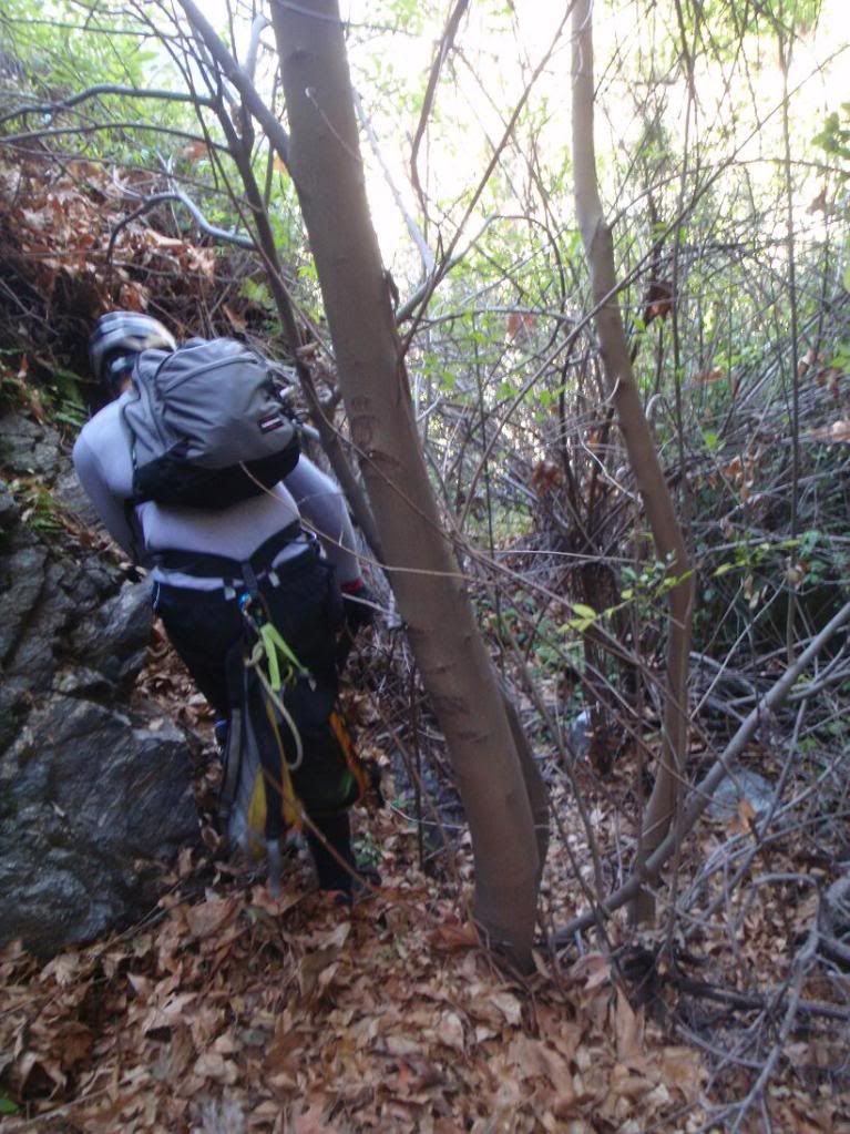
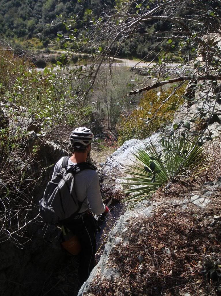
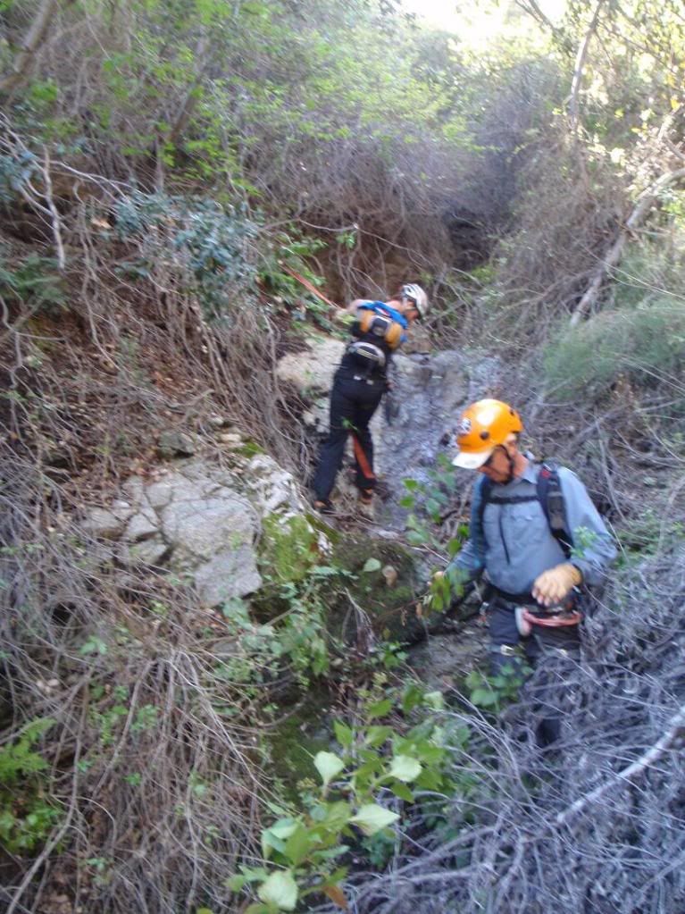
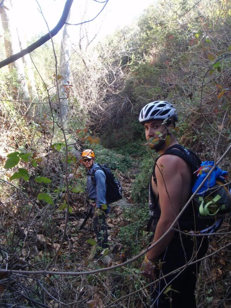
Easy canyon travel
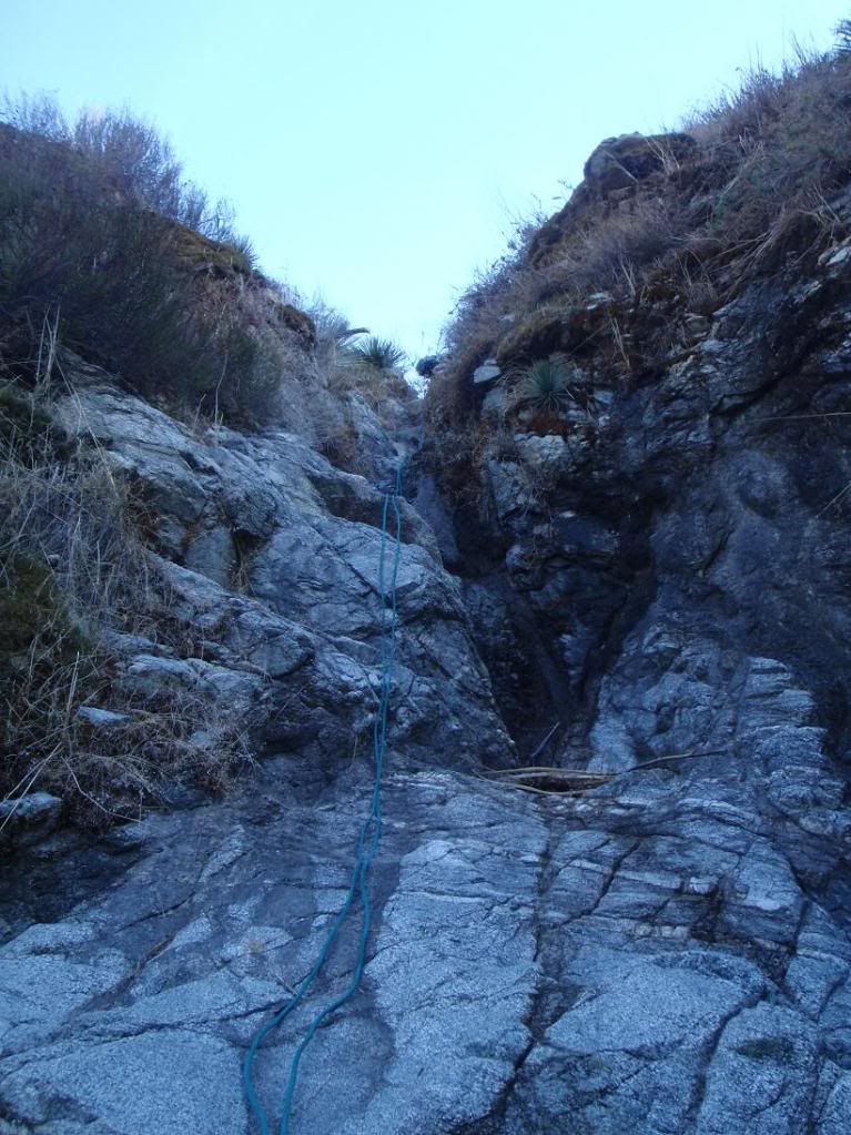
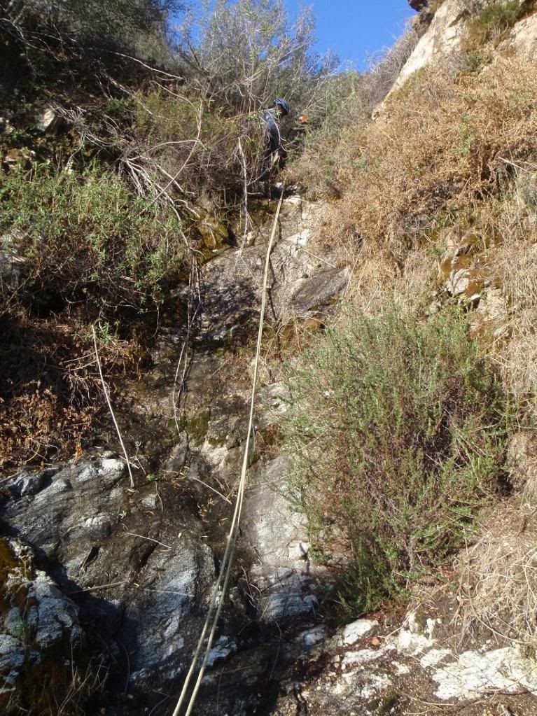
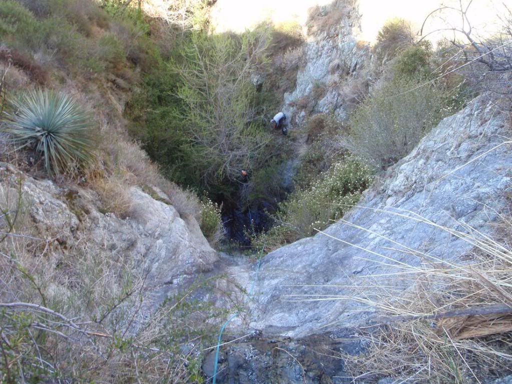
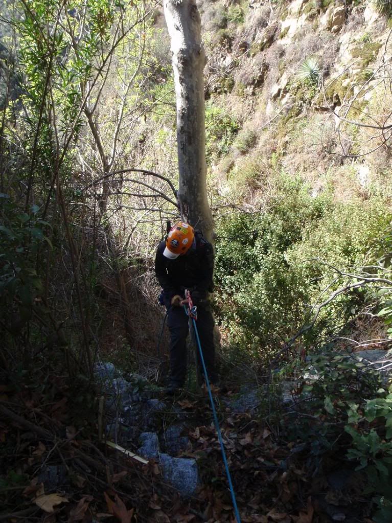
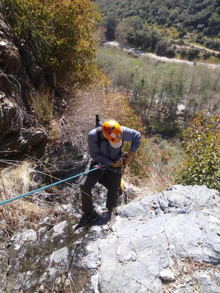
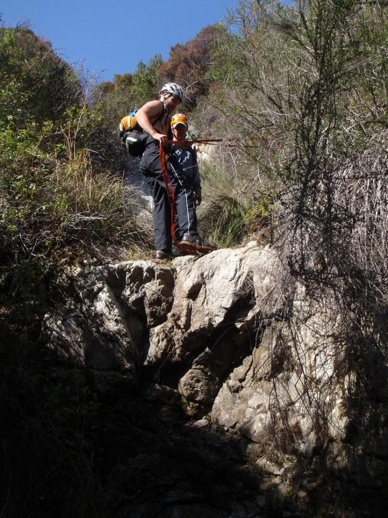
First stage of the first bigg-ish rapp
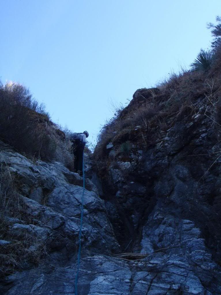
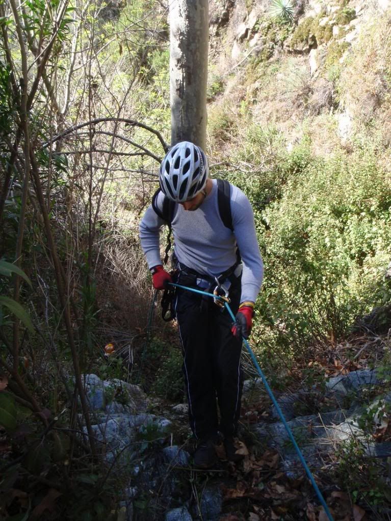
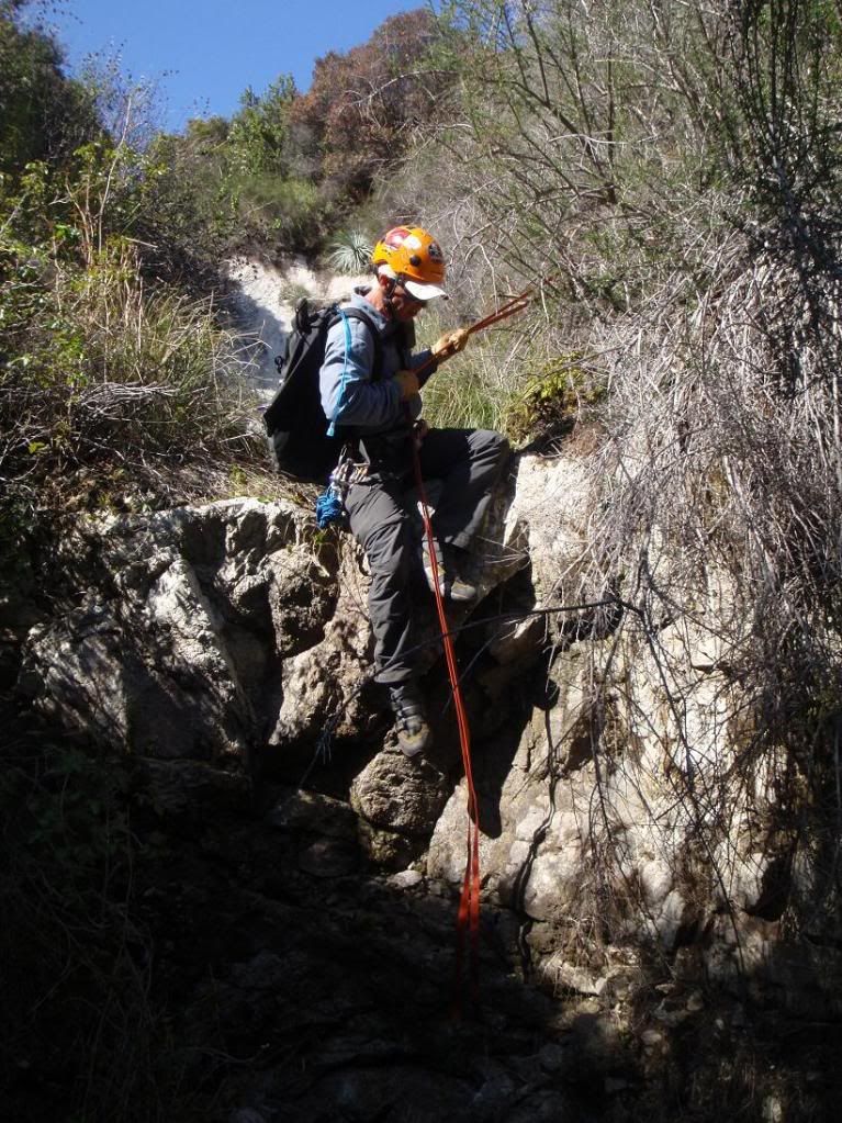
Down 2nd stage
The anchor that would make most folks uncomfortable. I backed up Ty and Bart with my sexay boday... (meat anchor)
No other natural anchor options... maybe a knot chock or something. no big rocks for a deadman. The rock is decent. We don't bolt dawg! Bolts explode, you know.
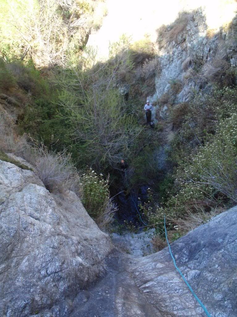
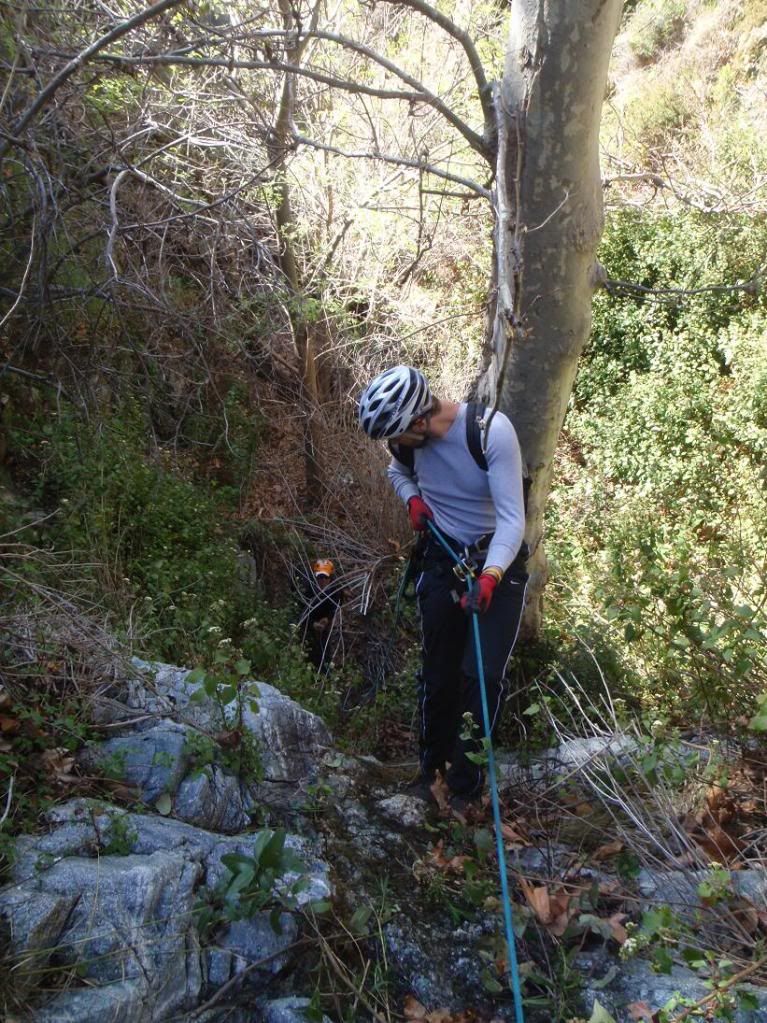
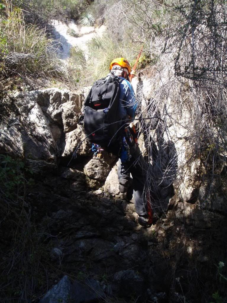
2nd Stage
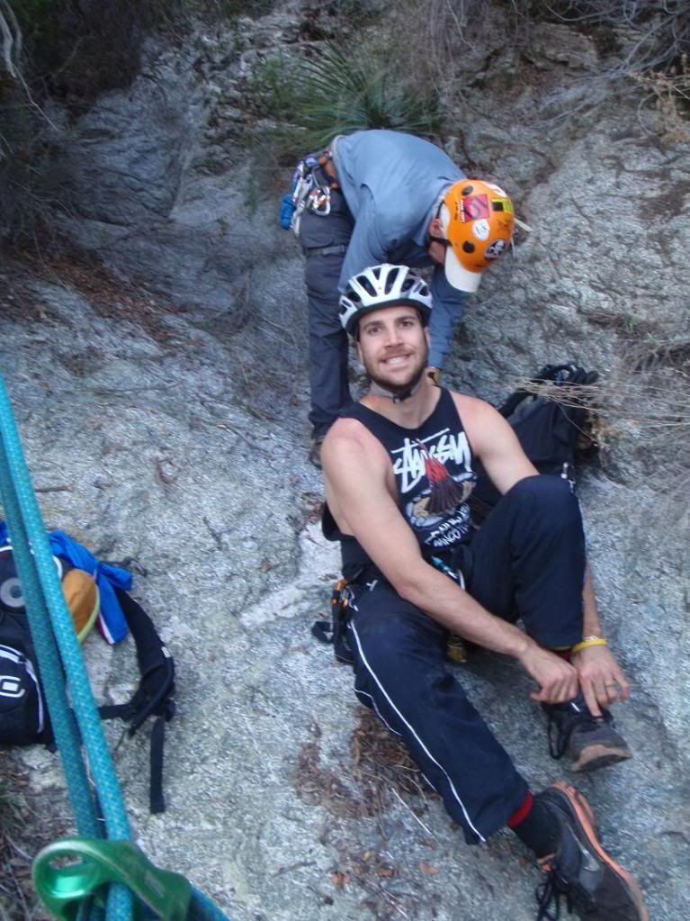
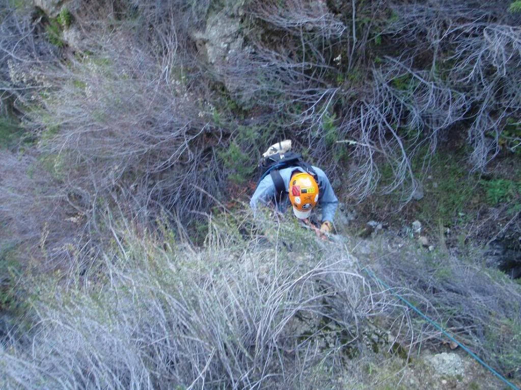
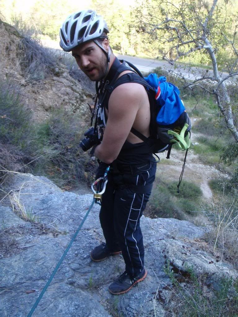
Bart's first canyon, and he already knows what's up!
Tree-in-the-Wall Falls. That bigass tree is actually growing straight outta the wall!
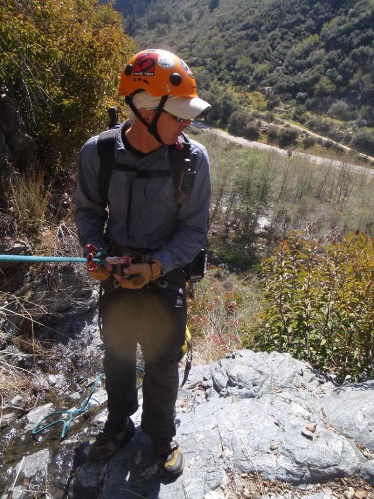
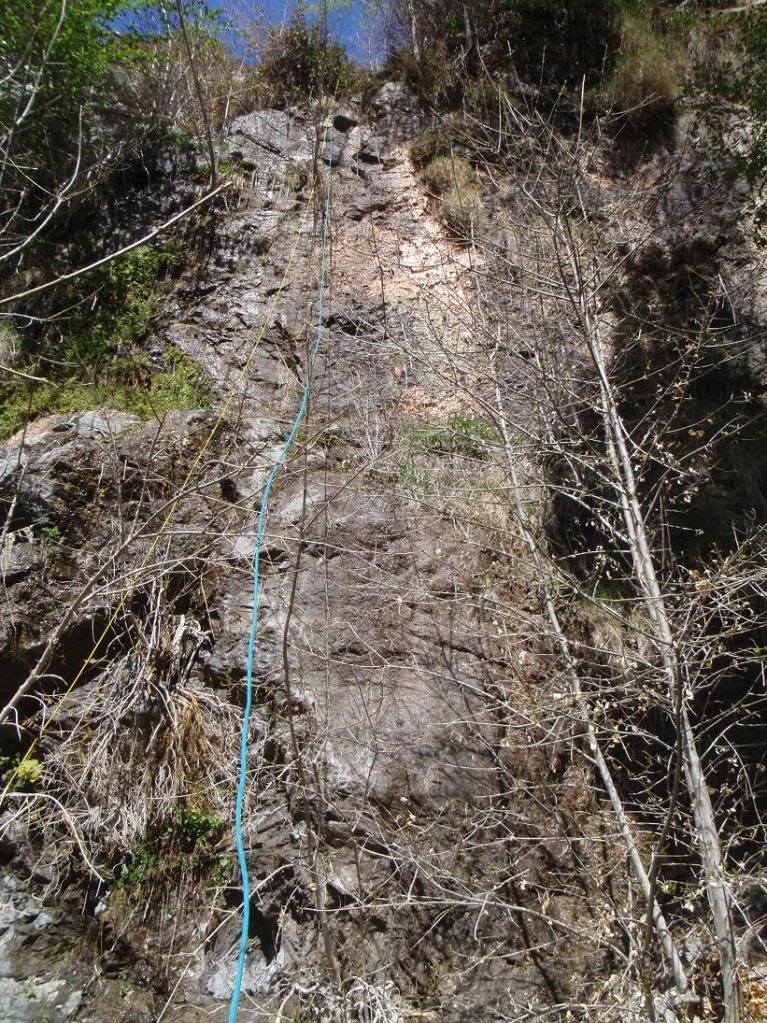
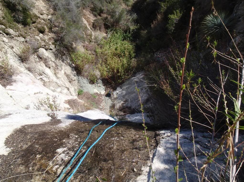
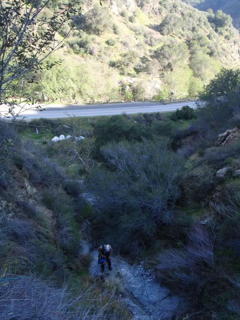
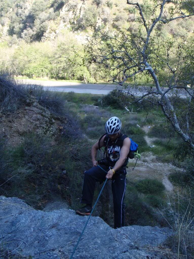
Bart approaches the final rapp, sub 200ft (about 175?).
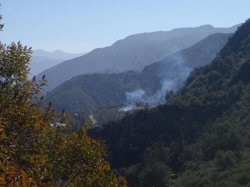
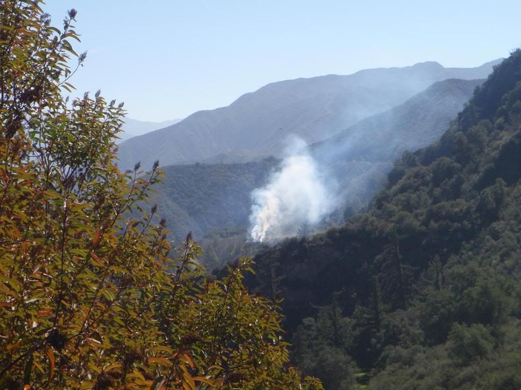
Fire dep't. doing some burn stuff
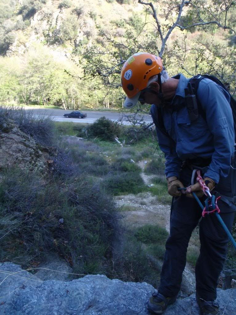
Bye bye Tye
Up
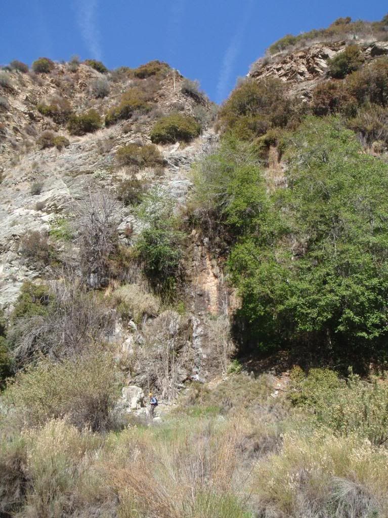
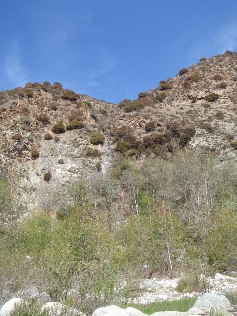
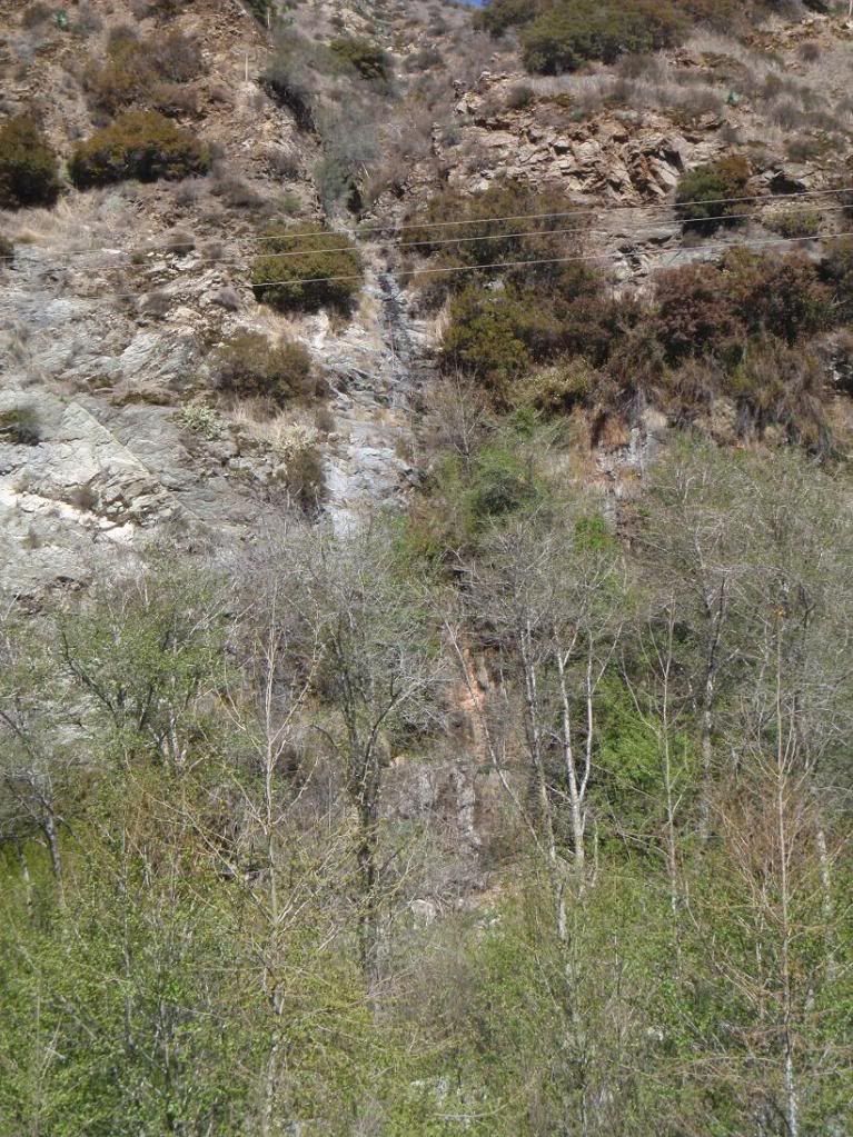
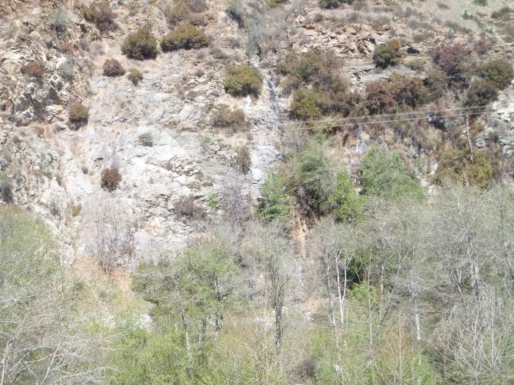
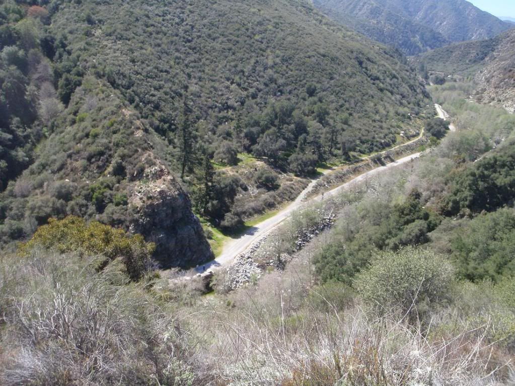
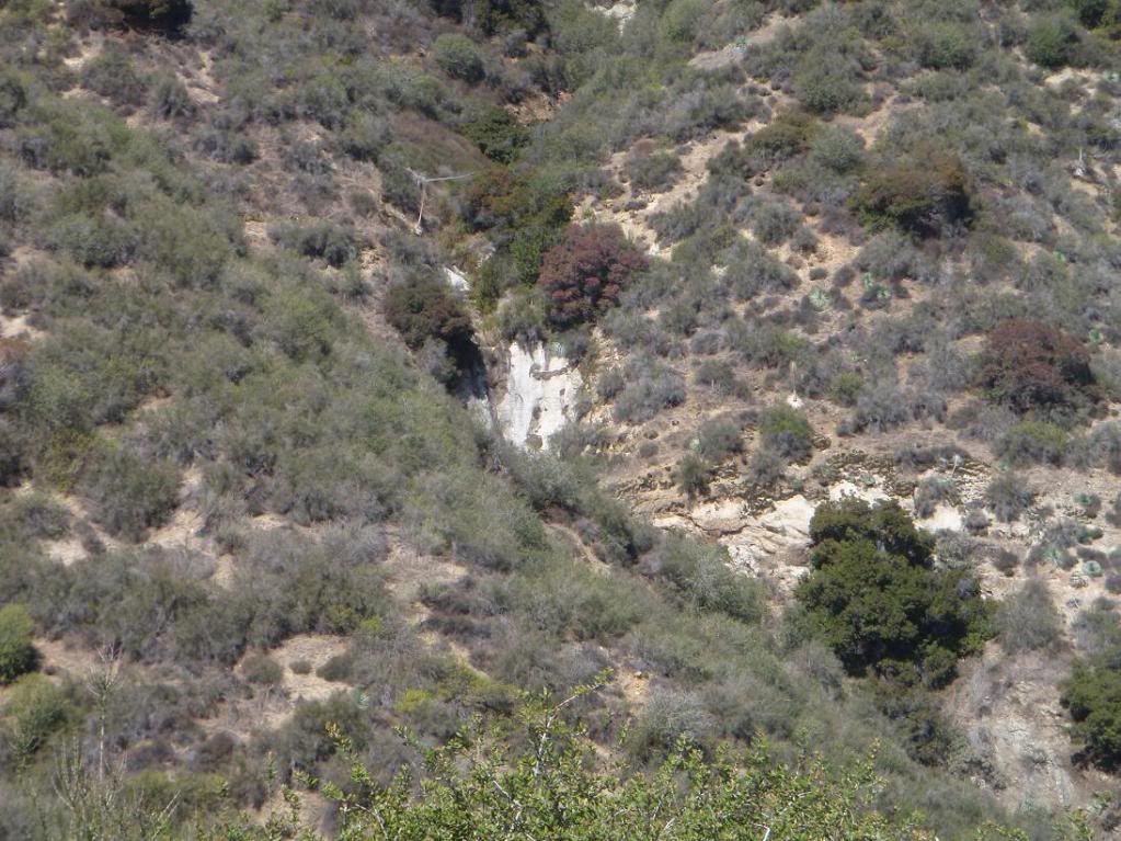
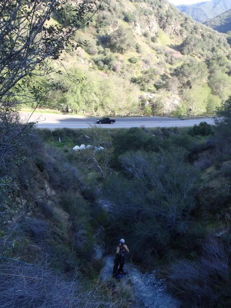
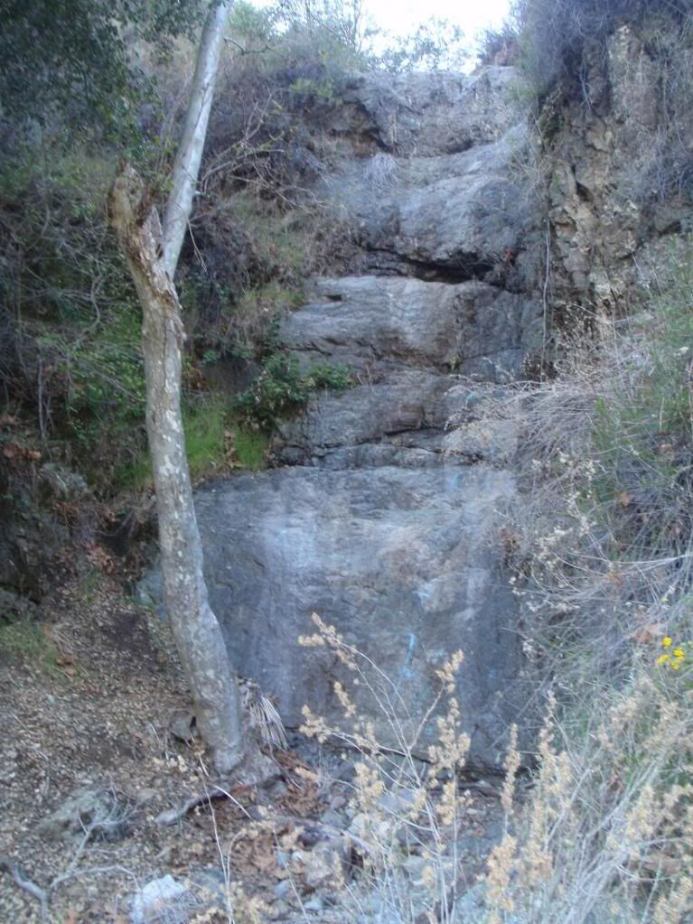
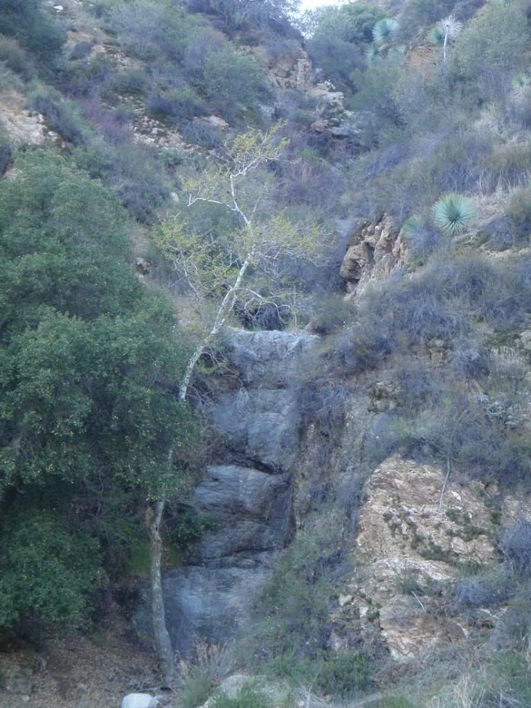
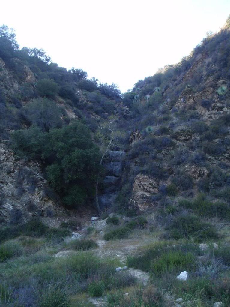
The final rap from afar, and from the road where everyone can see it from.
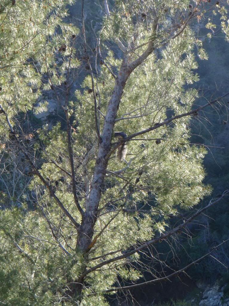
Mind blown
Arright, now here be Poison Canyon:
Hiking up
One of the rapps in Poison
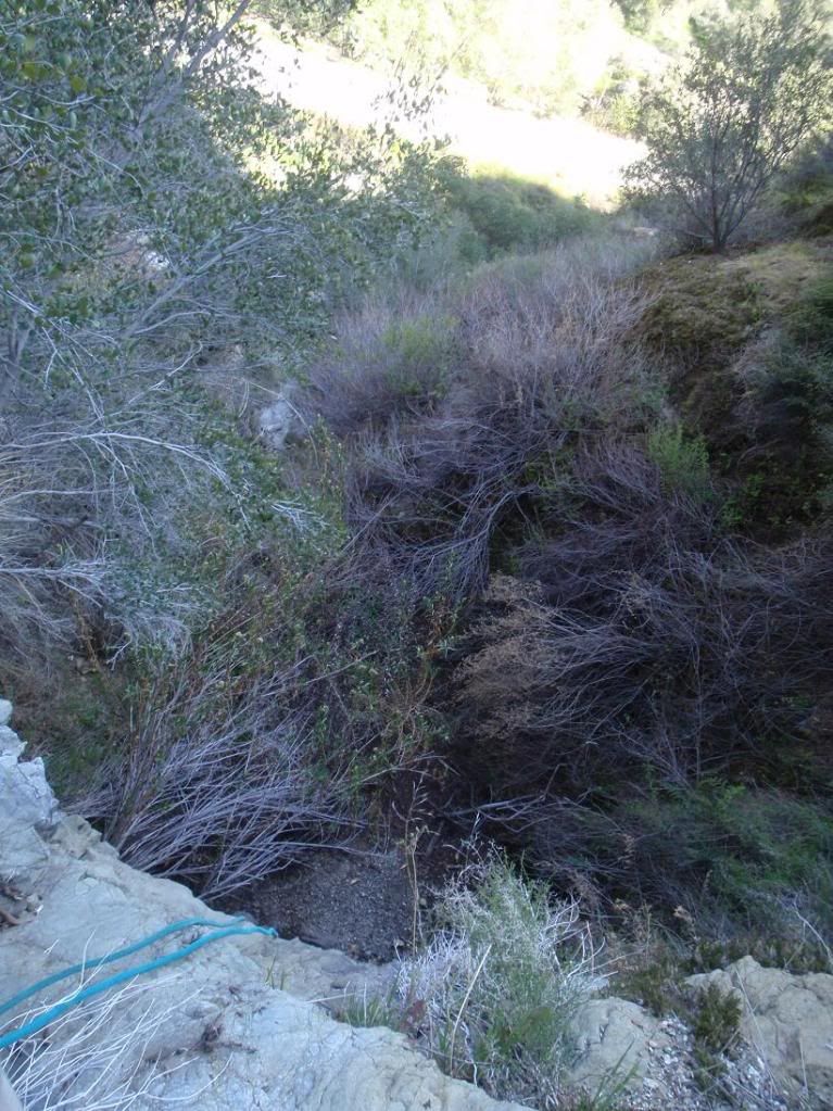
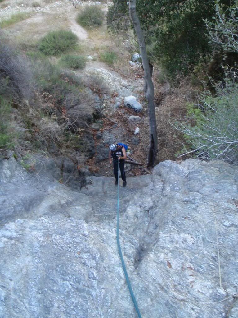
Down canyon
Wet
Using webbing
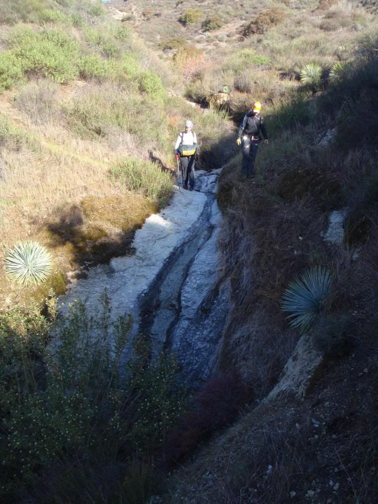
More canyon travel
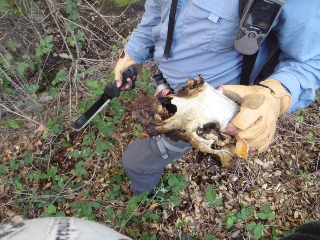
Bear skull
First of the last 3 rapps
2nd of 3
Big meany!
Last rapp...
Last rapp from the road
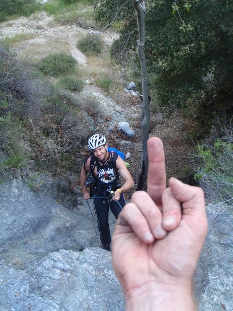
TERRORISM
Adios
Acme URL yo: http://mapper.acme.com/?ll=34.24711,-11 ... River%20CA
A: Top of ridge, near drop in
B: Poison Cyn
C: Beggar's Cyn
D: Parking
Beggar's Cyn was cool. Not much bushwhacking overall. You can run it now, since we cleared it out. There's a sub 200ft rapp at the end down a big waterfall as visible from West Fork Road. We started just before dawn and got back to the car before noon. This canyon is very worth repeating. It's short and fun. There could be an anchor challenge at the first decent size rapp, which is an L shaped jog on the map. First stage is like a belayed downclimb (low angle rapp), and the second is 60ft or so down a nice waterfall. The anchor is a group of young Scrub Oak about 1" in diameter and under. It's solid, but I can see most folks thinking it would fail.
Poison Cyn has endless poison oak, just tons of the shit. Lots of bushwhacking in there, though it's relatively easy. The rapps are OK, and the three final rapps are nice. It is not worth doing again.
Photo zeit!
Beggar's Canyon:
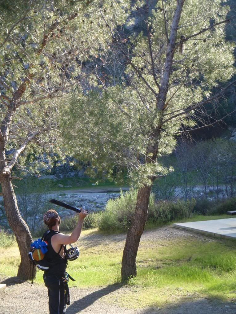
Going up
Ze canyon
Sun up
R1
Easy canyon travel
First stage of the first bigg-ish rapp
Down 2nd stage
The anchor that would make most folks uncomfortable. I backed up Ty and Bart with my sexay boday... (meat anchor)
No other natural anchor options... maybe a knot chock or something. no big rocks for a deadman. The rock is decent. We don't bolt dawg! Bolts explode, you know.
2nd Stage
Bart's first canyon, and he already knows what's up!
Tree-in-the-Wall Falls. That bigass tree is actually growing straight outta the wall!
Bart approaches the final rapp, sub 200ft (about 175?).
Fire dep't. doing some burn stuff
Bye bye Tye
Up
The final rap from afar, and from the road where everyone can see it from.
Mind blown
Arright, now here be Poison Canyon:
Hiking up
One of the rapps in Poison
Down canyon
Wet
Using webbing
More canyon travel
Bear skull
First of the last 3 rapps
2nd of 3
Big meany!
Last rapp...
Last rapp from the road
TERRORISM
Adios
